Today we had a short, nearby walk around the Dunnerdale Fells – they may be diminutive but they have some great views and the going is relatively easy and it is a good dog walk for sure. After the period of really hot weather earlier this month, there has been plenty of rain around so it was a case of trying to find a decent walk without getting too wet today (we almost made it!). We also made a visit to the Outlying Fell named Dunnerdale Fells and it’s been a long while since I was there last.
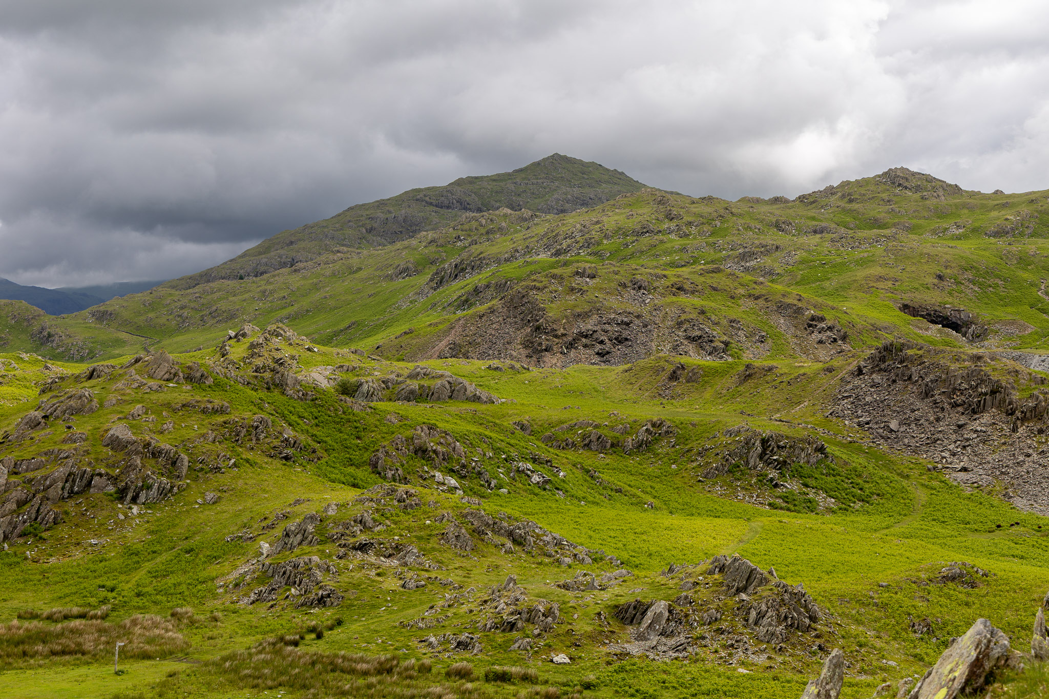
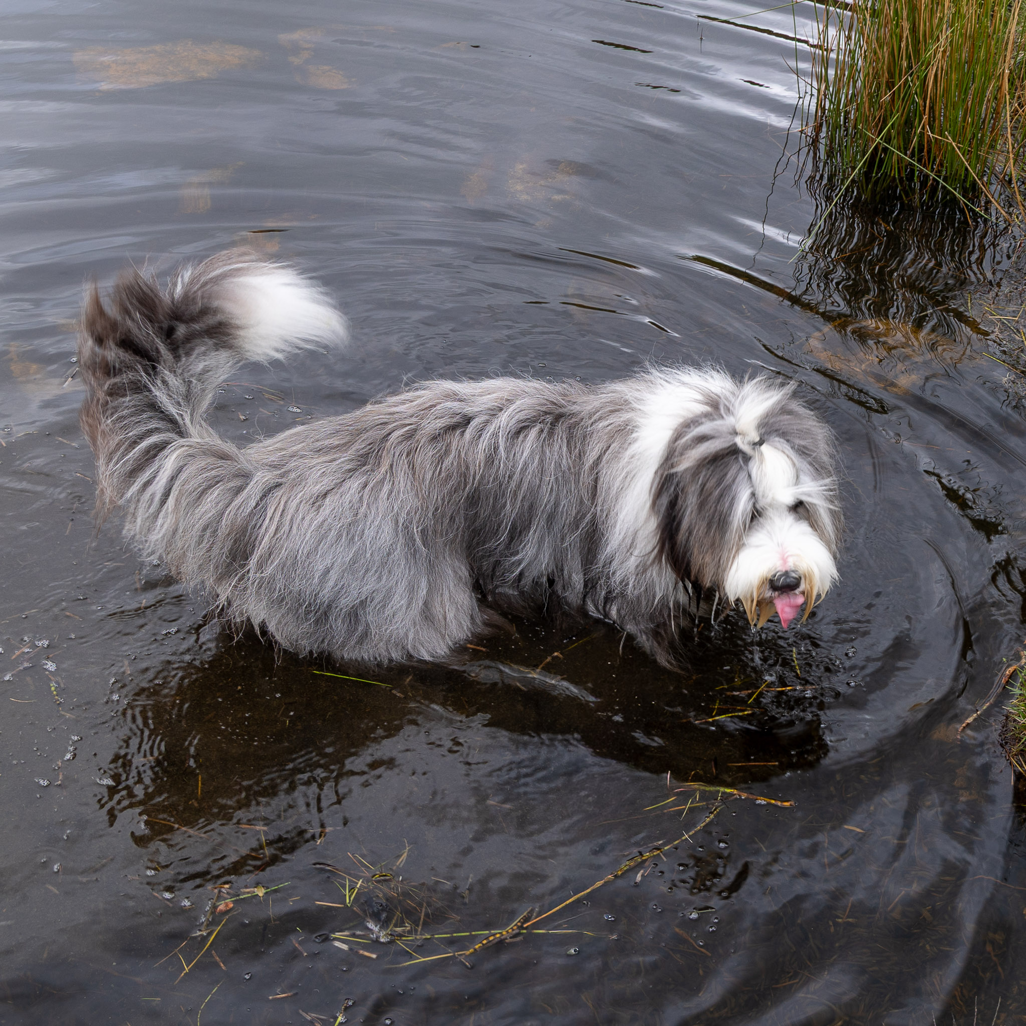
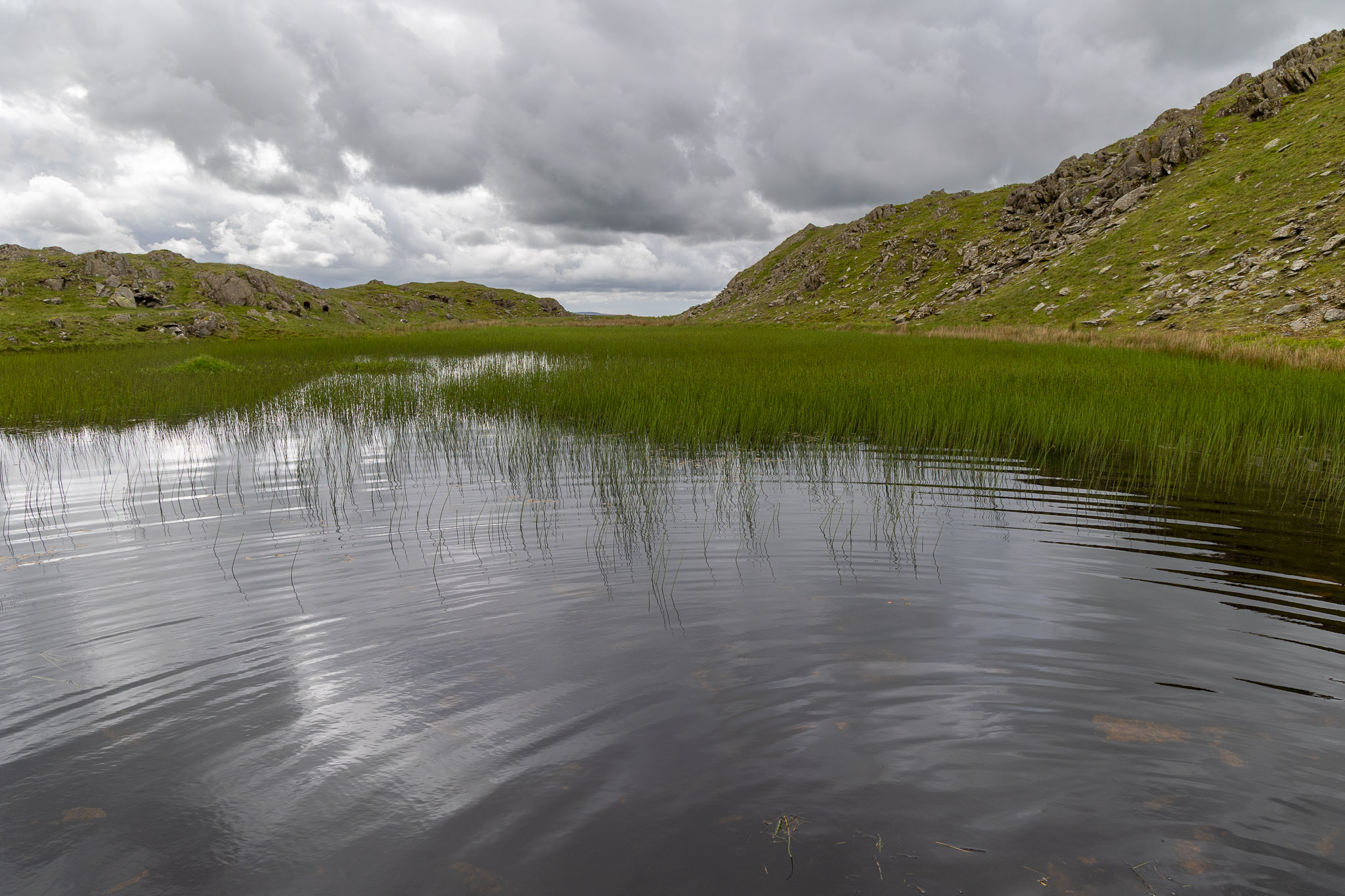
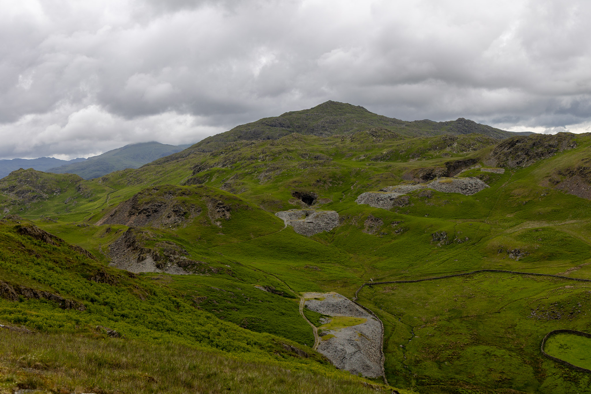
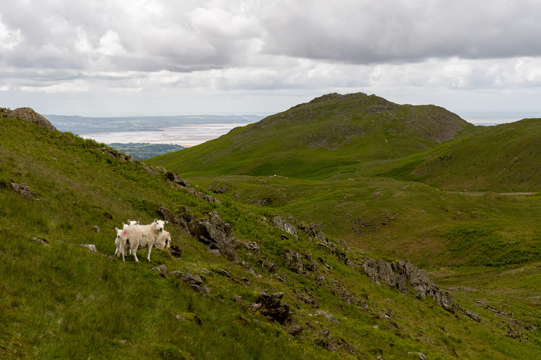
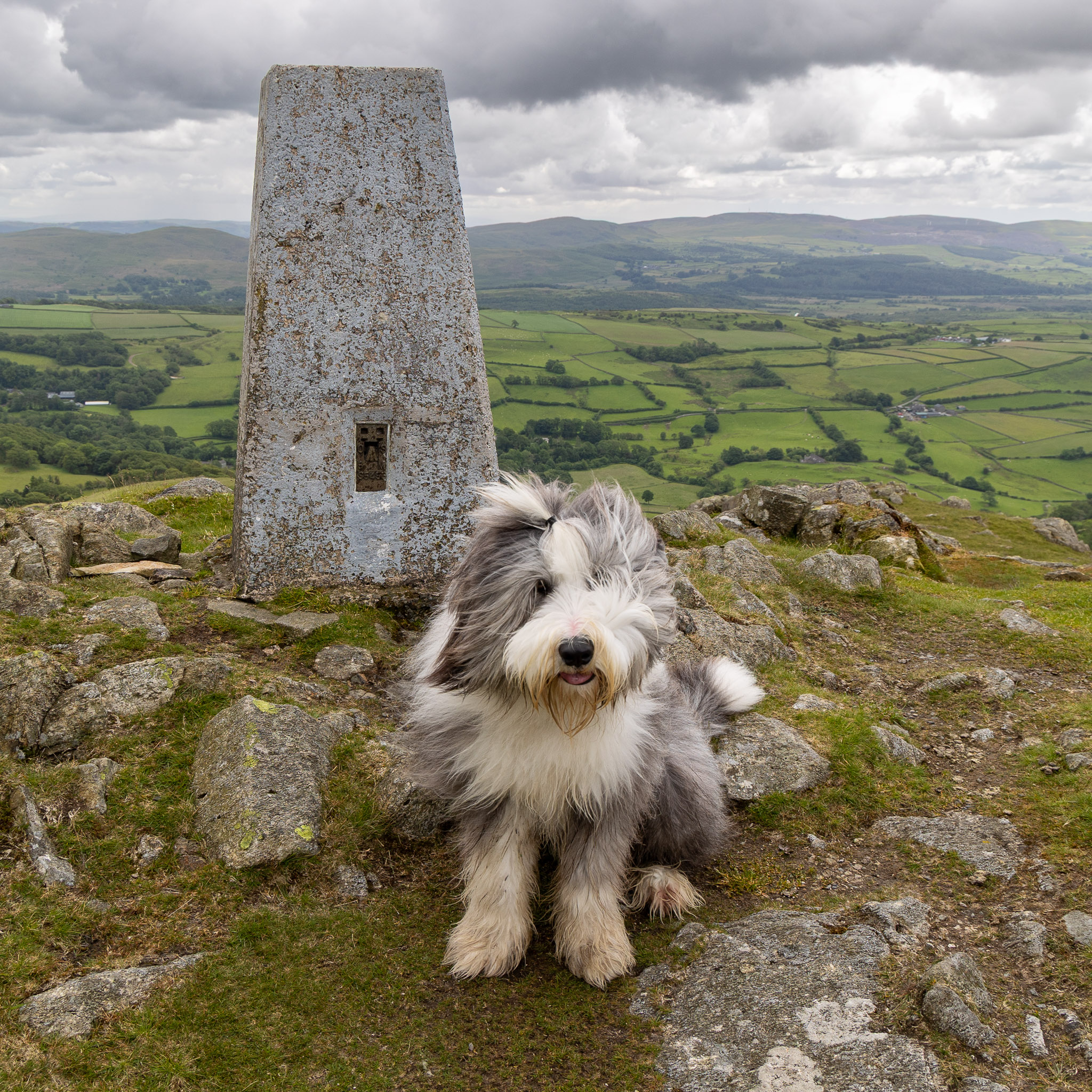
How green everything looks suddenly; the bracken is knee high now and growing rapidly. All looks lush looking over to Caw.Up at Stickle Tarn, Finlay makes sure he is getting wet today!Looking across a reedy Stickle Tarn, there are some blue skies to the south.A great view of the old mine workings contrasting starkly against the newly green Caw.
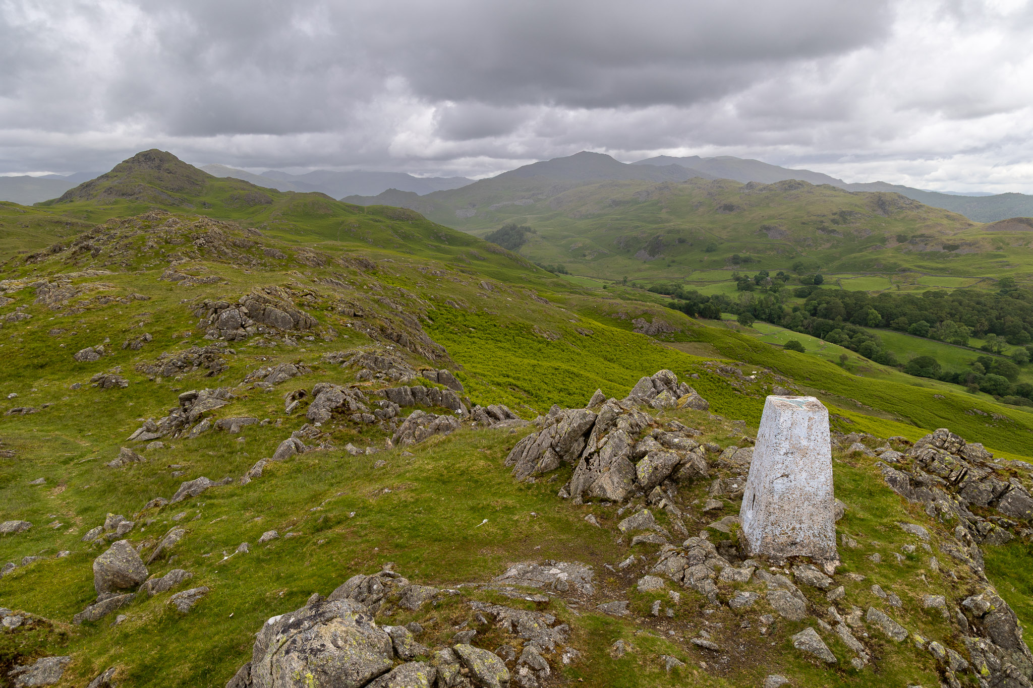
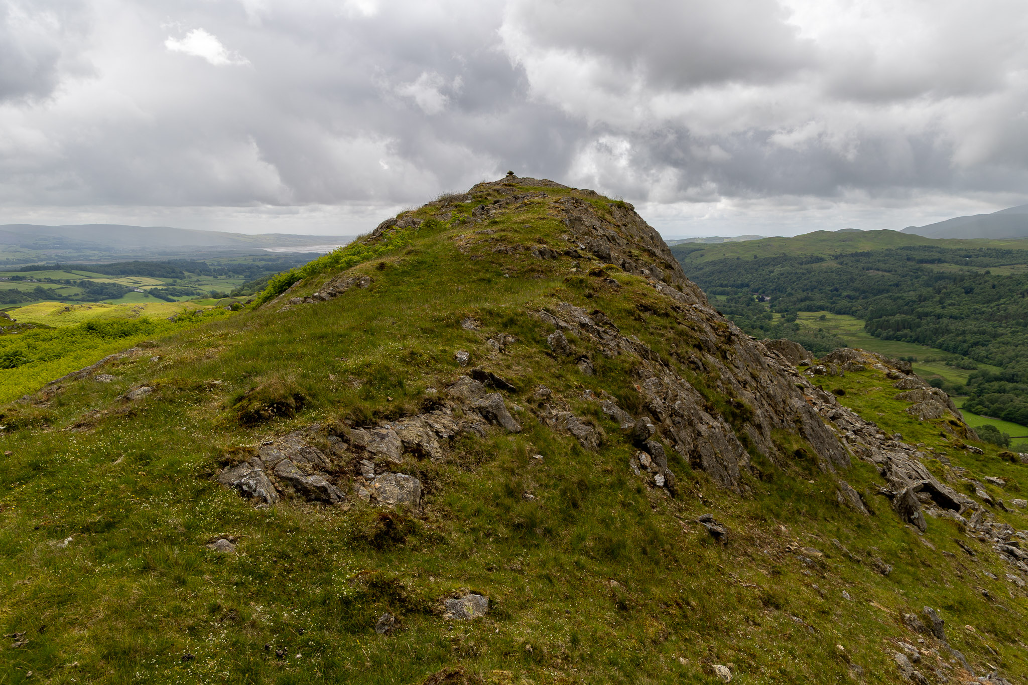
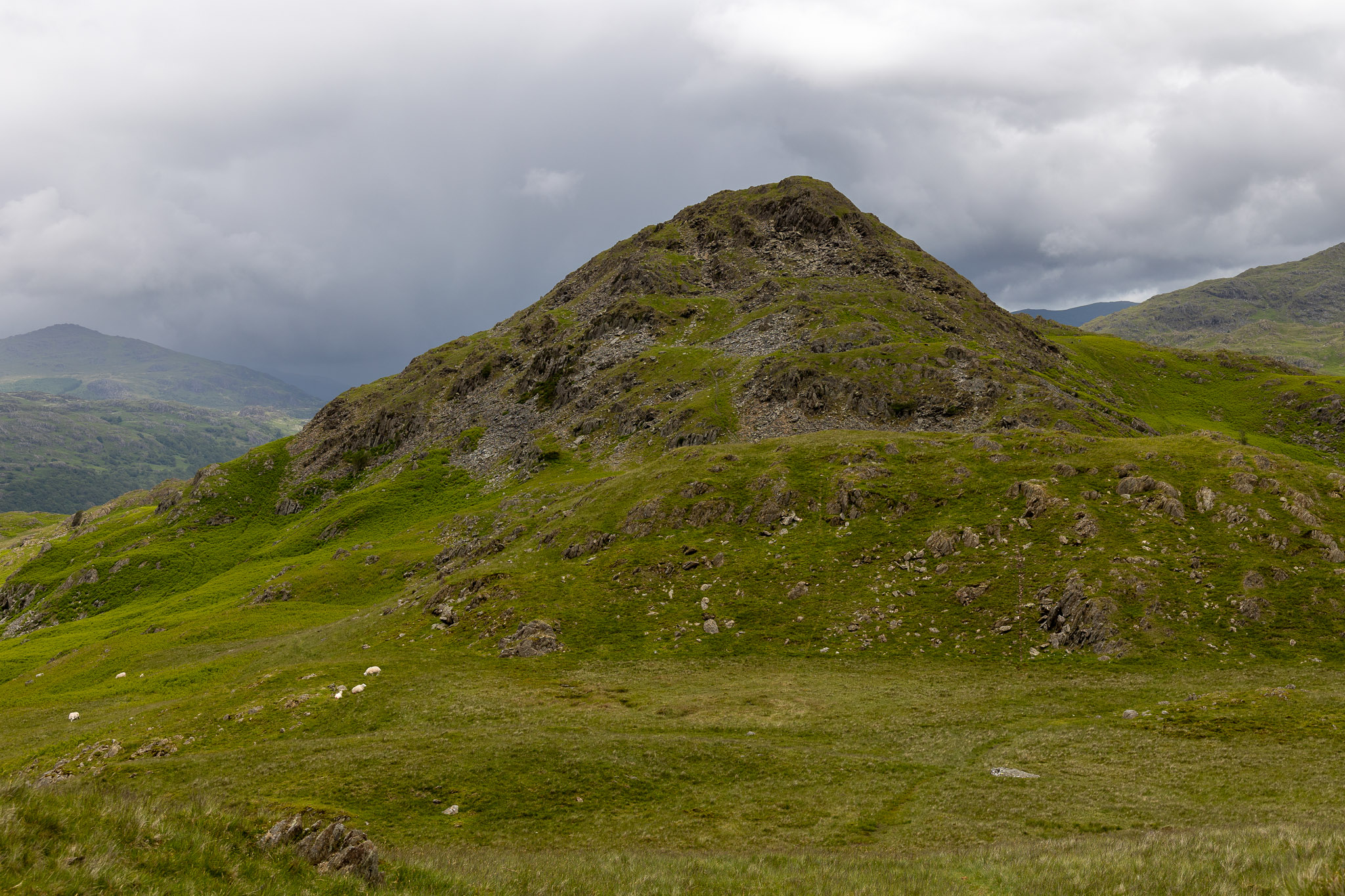
Great Stickle from Hollowscar Hill End.
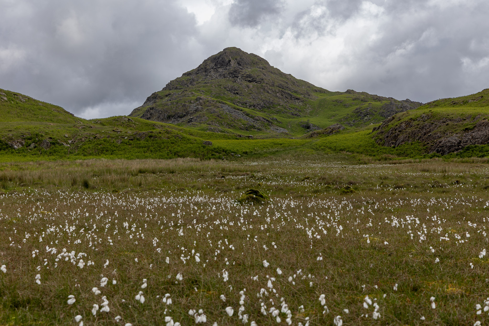
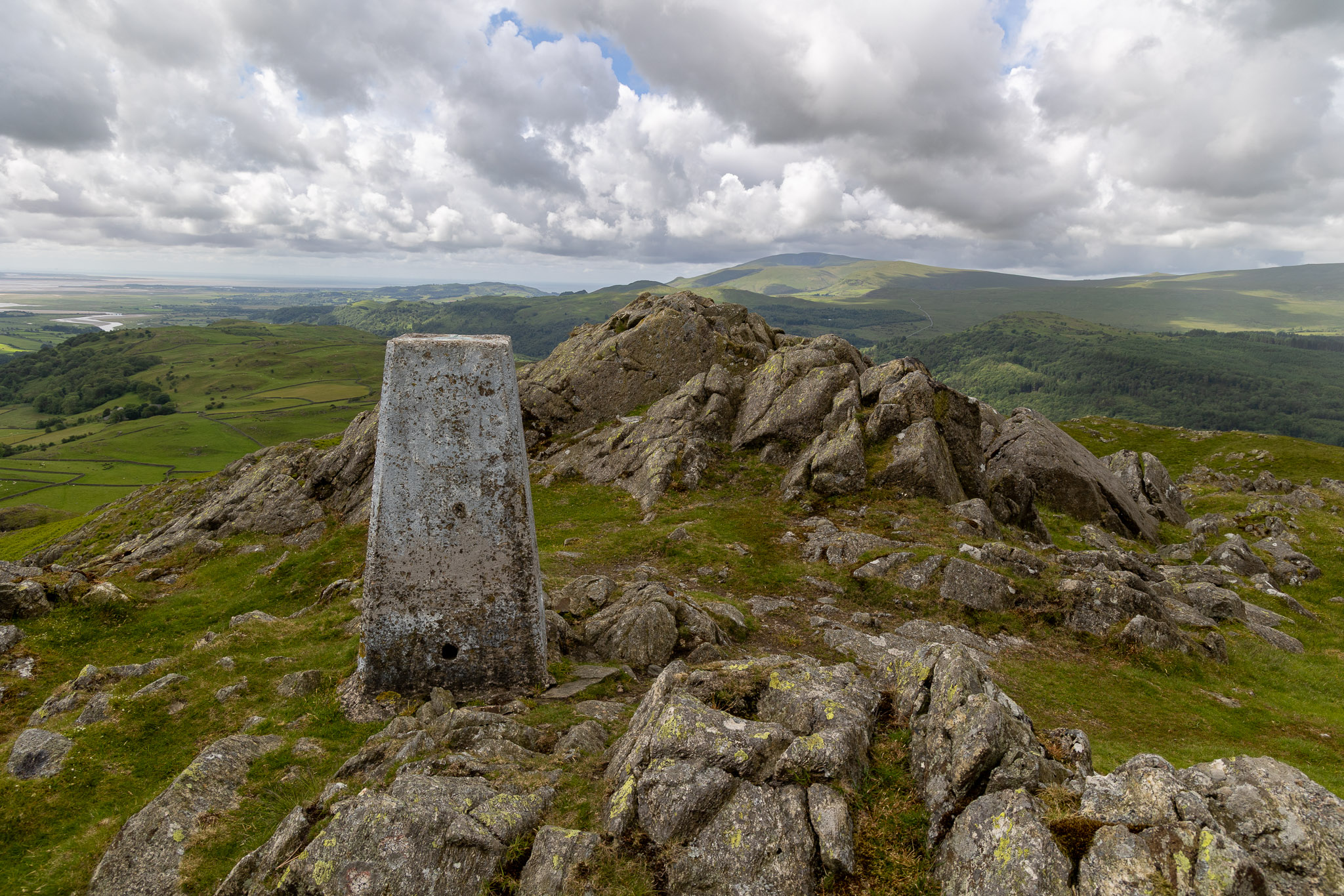
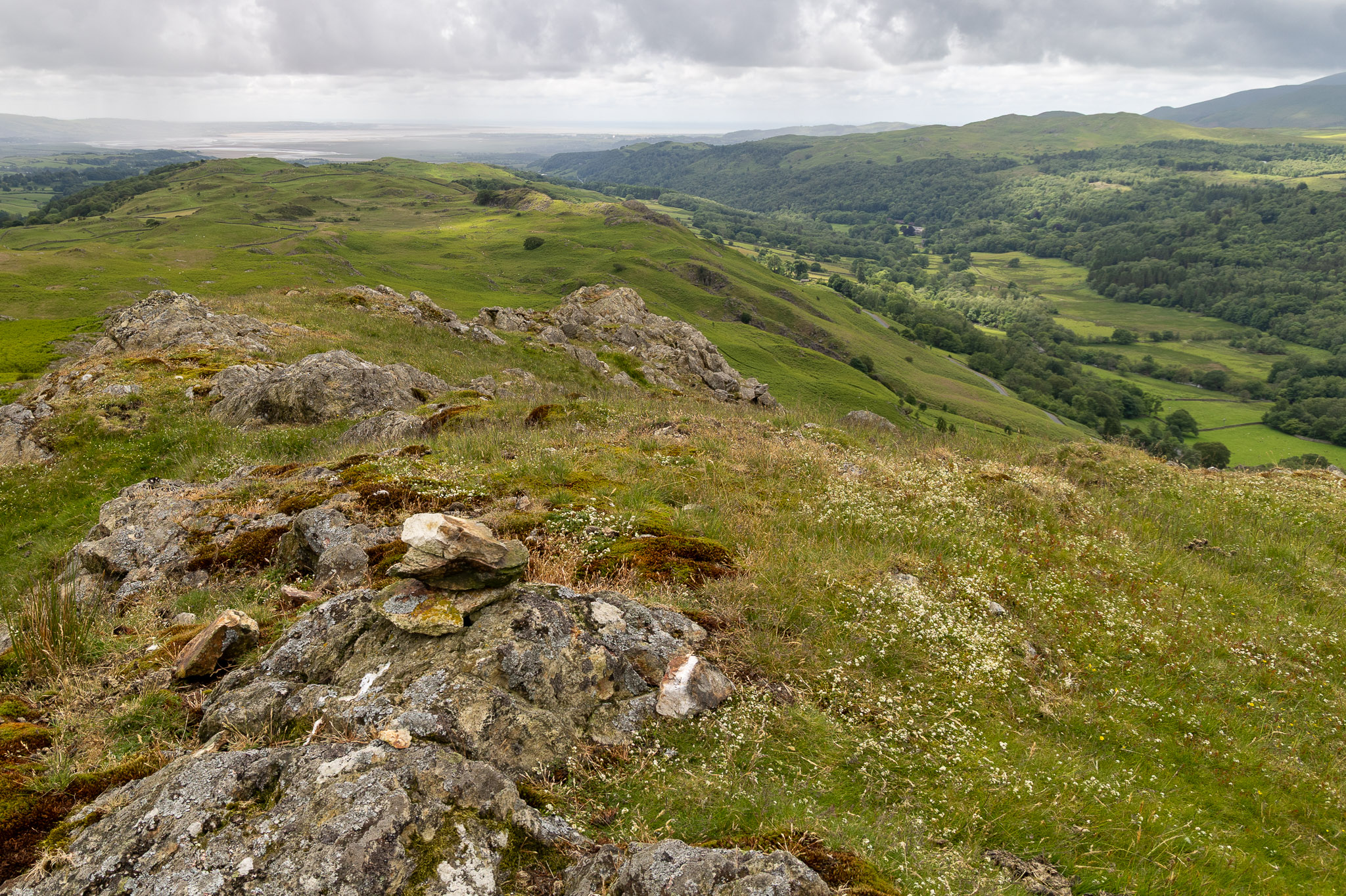
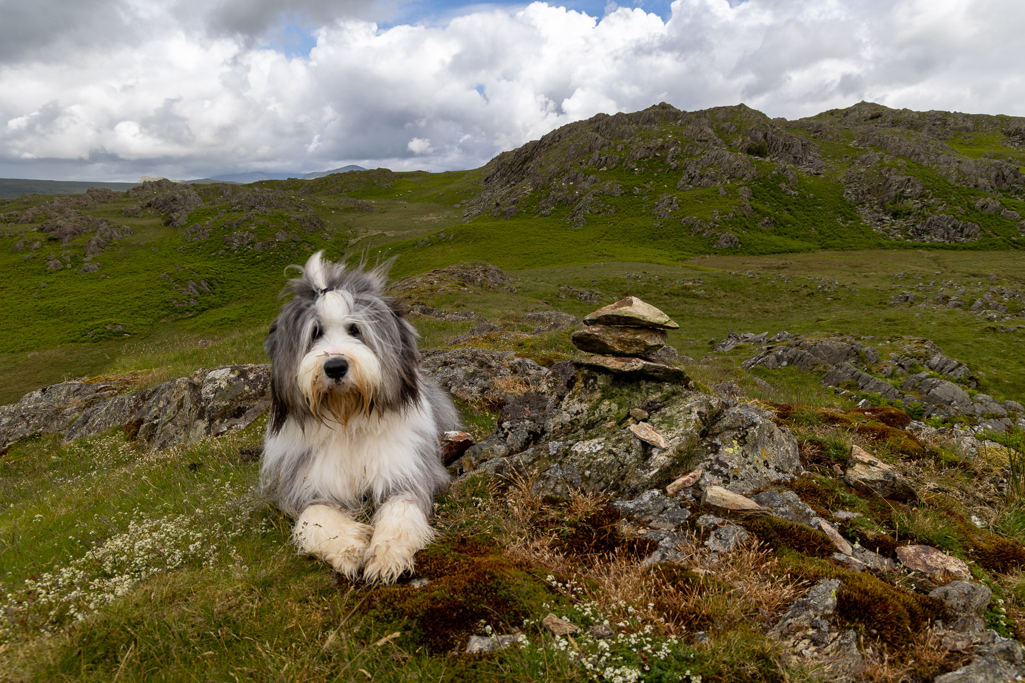
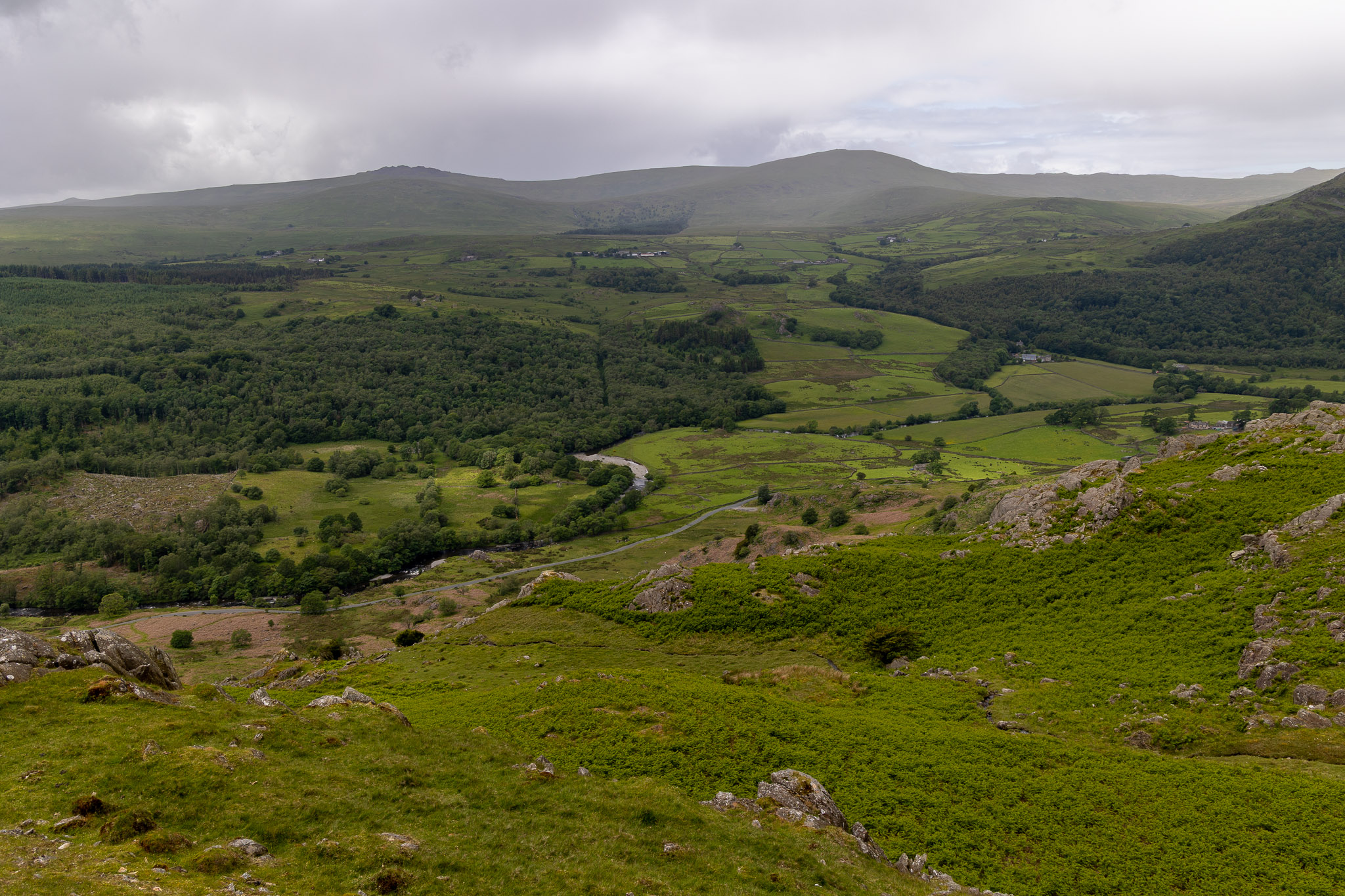
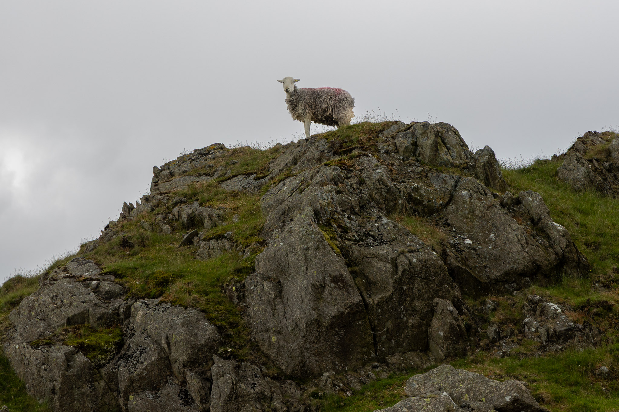
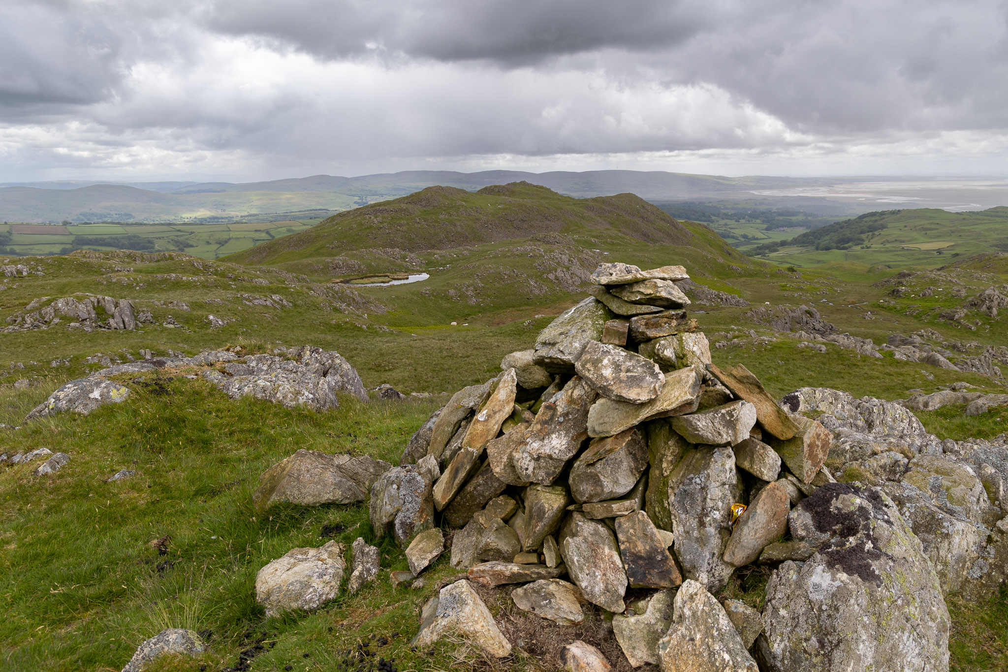
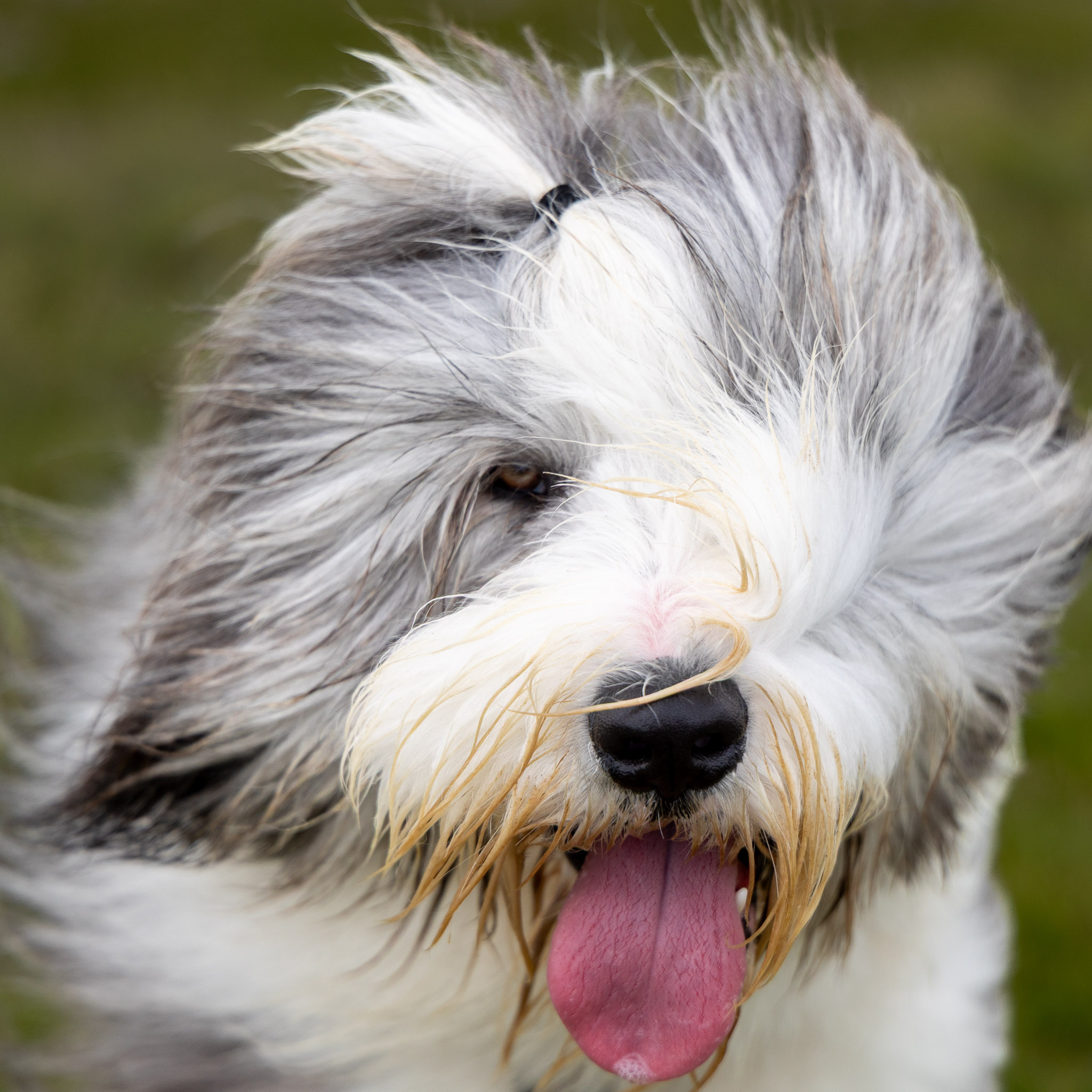
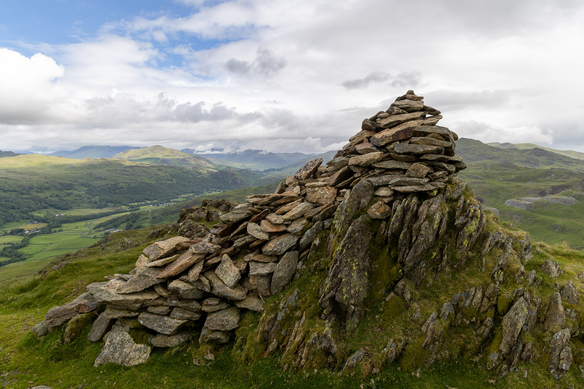
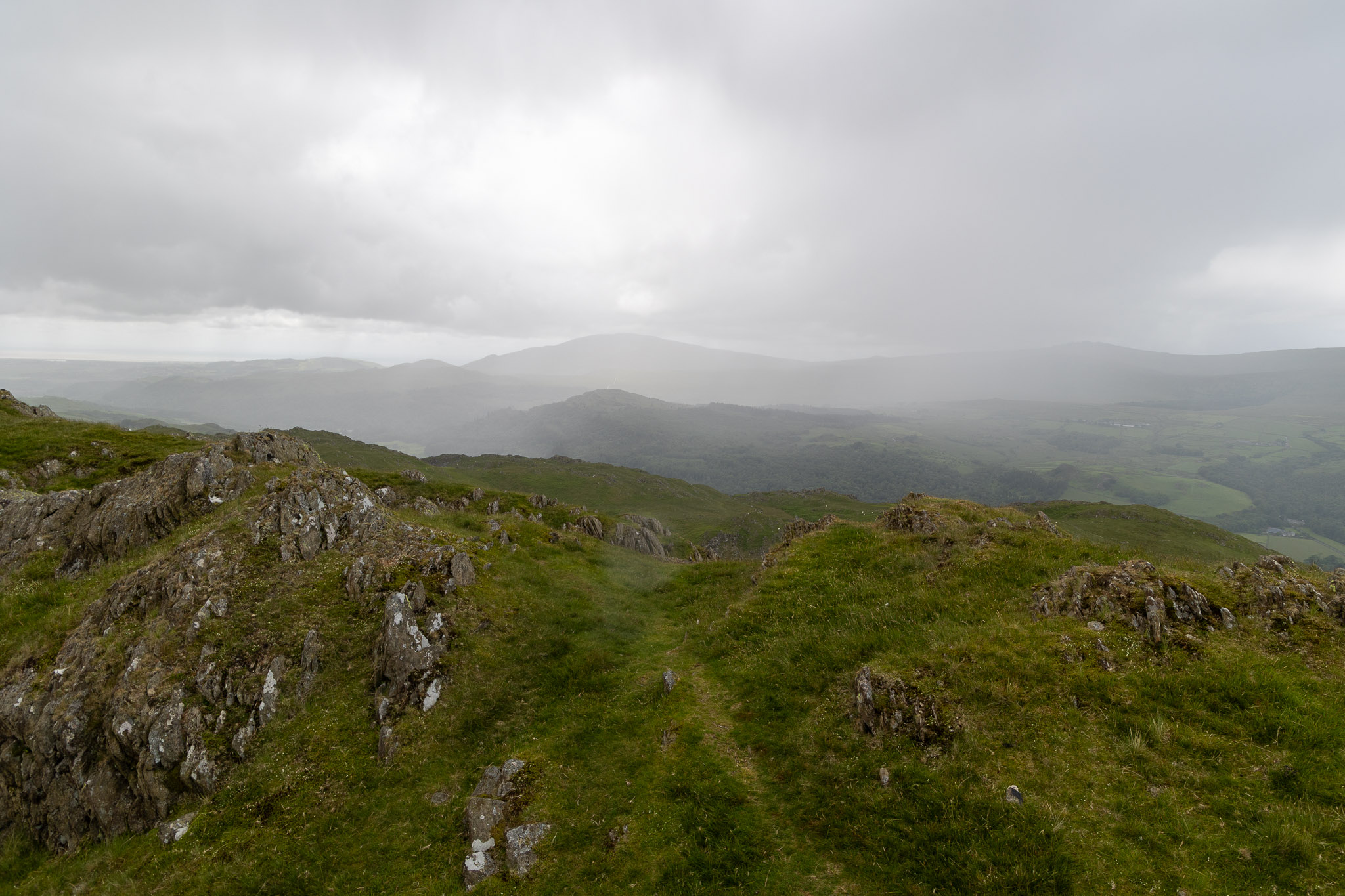
I crossed from right to left in this photo, Stickle Tarn being in the low point to the right skyline and then skirted around this boggy section which is now filled with flowering bog cotton/cotton grass. Stickle Pike looks superb from this side and appears to be a fine and rugged mountain.A glorious view to the Duddon Estuary from Great Stickle during a brief sunny spell.Black Combe from Great Stickle.Top pose from the poser Finlay!A wider view to the north with lots of low cloud.I always think this is an oddball, who’s managed to find it? Bizarrely given its own chapter in The Outlying Fells and named as ‘Dunnerdale Fells’ but later OS maps show this as Tarn Hill; Tarn Hill top (in Wainwright ‘Stickle Pike’ chapter) is shown 500m to the NE and is marked with a large cairn. In the updated Jesty version of the book, it is explained as ‘The name Tarn Hill was misplaced in earlier Ordnance Survey maps; hence the original title of the chapter – retained in this edition – was Dunnerdale fells, this being a more general name for the area.’ The chapter is now titled ‘Dunnerdale fells (Tarn Hill)’. It is a pretty uninteresting knoll amongst others, a better summit for the walk in the chapter would probably be the higher and better viewpoint from the actual Tarn Hill cairn.Finlay resplendent with a bracken-y nose where he has been snuffling about! Checking my records, I have not visited this outlying fell ‘Dunnerdale Fells’ since 2007 so a visit is probably overdue! The Tarn Hill summit cairn mentioned can be seen as the highest point on the right skyline in this photo.Looking down on the Duddon Valley, the starting point for the ‘Dunnerdale fells’ chapter walk (should you wish to do it) is down to the left following the road at Stonestar.Looking back at the mighty Dunnerdale Fells ‘summit’.The sentinel of Tarn Hill.…and 5 minutes later, here we are on Tarn Hill looking across to Great Stickle. Out to the west there were lots of showers blowing up the Duddon Estuary and up the valley – it looks like they will get me in the end.Finlay seems to be enjoying it, whatever the weather is doing!Stickle Pike from the northern end of the Tarn Hill ridge.On the way to Stickle Pike it started raining quite heavily but look at this when we reached the top – blue skies over there as the rain clouds pass and lift over the high fells.…but look what’s behind and needless to say we got a soaking for the final descent!
1 thought on “The Dunnerdale Fells”
Rod Hepplewhite
Hi Sean, it’s been a few years but I walked AW’s ‘Dunnerdale fells’ chapter walk from his starting point as part of my Outlying Fells project. I walked them all and, just like when I undertook The Birkett’s project, I followed the routes as per the book. Happy days.

Hi Sean, it’s been a few years but I walked AW’s ‘Dunnerdale fells’ chapter walk from his starting point as part of my Outlying Fells project. I walked them all and, just like when I undertook The Birkett’s project, I followed the routes as per the book. Happy days.