Start Point: Kentmere (NY 456 041) – limited parking opposite the church.
Kentmere – Garburn Pass – Yoke – Ill Bell – Froswick – Thornthwaite Crag – High Street – Mardale Ill Bell – Nan Bield Pass – Harter Fell – Kentmere Pike – Goat Scar – Shipman Knotts – Kentmere
| Distance: | 21.5 km |
| Total Ascent: | 1108 m |
| Time Taken: | 6 hours |
| Start Time: | 07:00 |
| Weather: | Mainly sunny and clear. 4ºC |
| Finlay’s Wainwright Count: | 66/214 (7 new this walk) |
Wow, I can hardly believe it but it has been 16 years since I last did the Kentmere Horseshoe – time goes so quickly when you are busy working! This meant I was really looking forward to doing it again and the weather was certainly looking favourable to do it.
It did indeed turn into a lovely morning though slightly cooler than of late, I completed most of the walk with thin gloves on to take the edge off but it wasn’t too bad with just a fleece on up top. The views were great, it was clear all round and there weren’t too many people about. I thought I would get there early to get a prized space by the church, it wouldn’t be busy midweek in October would it? Yes, it would as it turned out but at last I managed to get the final place left.
Young Finlay is going strong now, another 7 Wainwright’s in the bag today and his longest walk yet – no problem. Not quite the same ‘no problem’ for dad – read on…
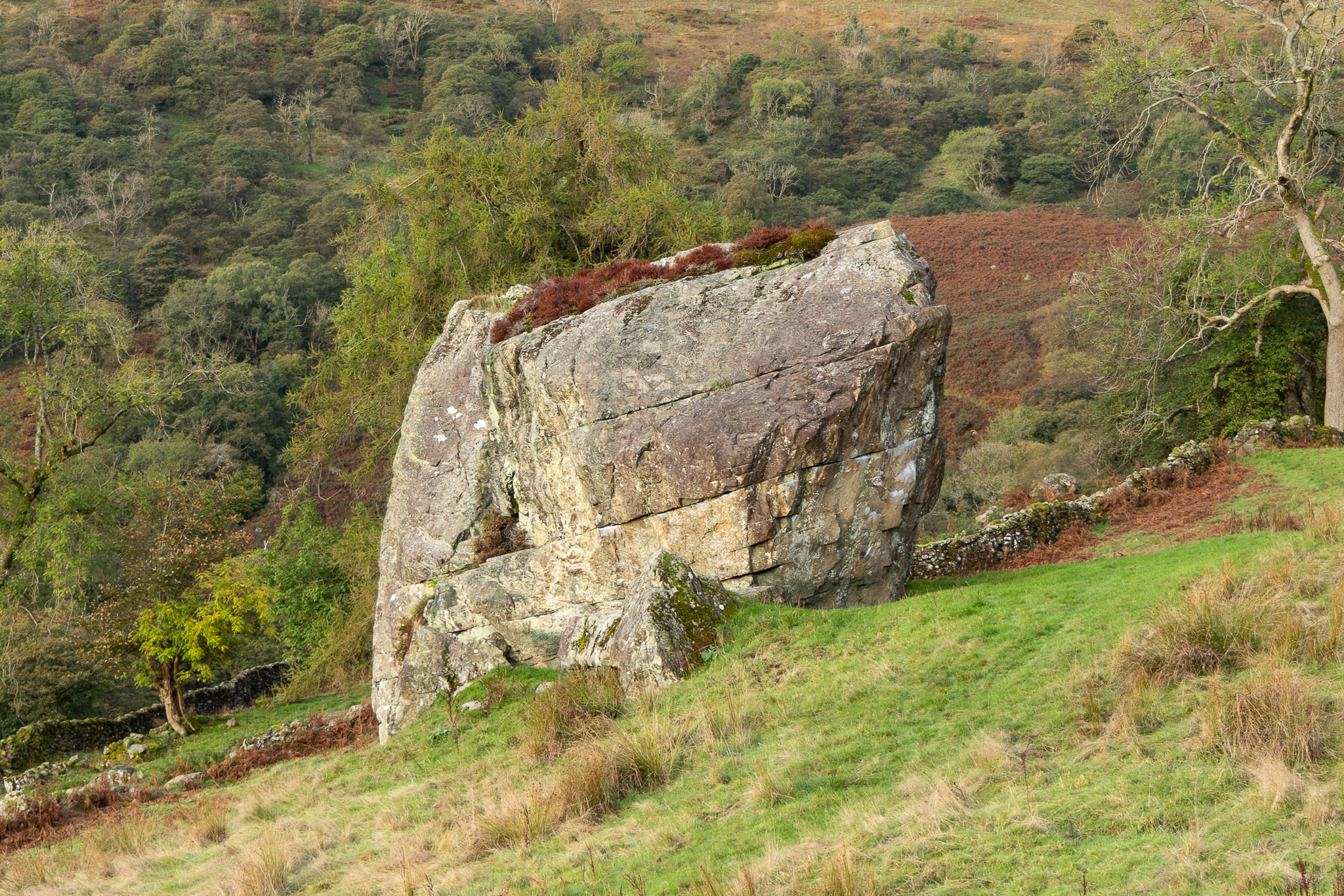
Badger Rock (Brock Stone), close to Kentmere and visible from the Garburn Pass road. 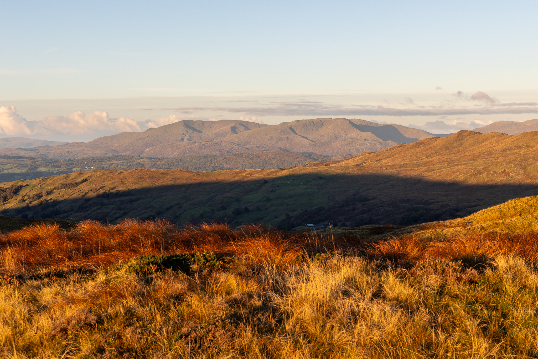
Most of the climb of Garburn Pass was in dawn light but finally the sun came over Sleddale Forest and bathed the landscape in beautiful golden sunshine. This view is across to the Coniston fells. 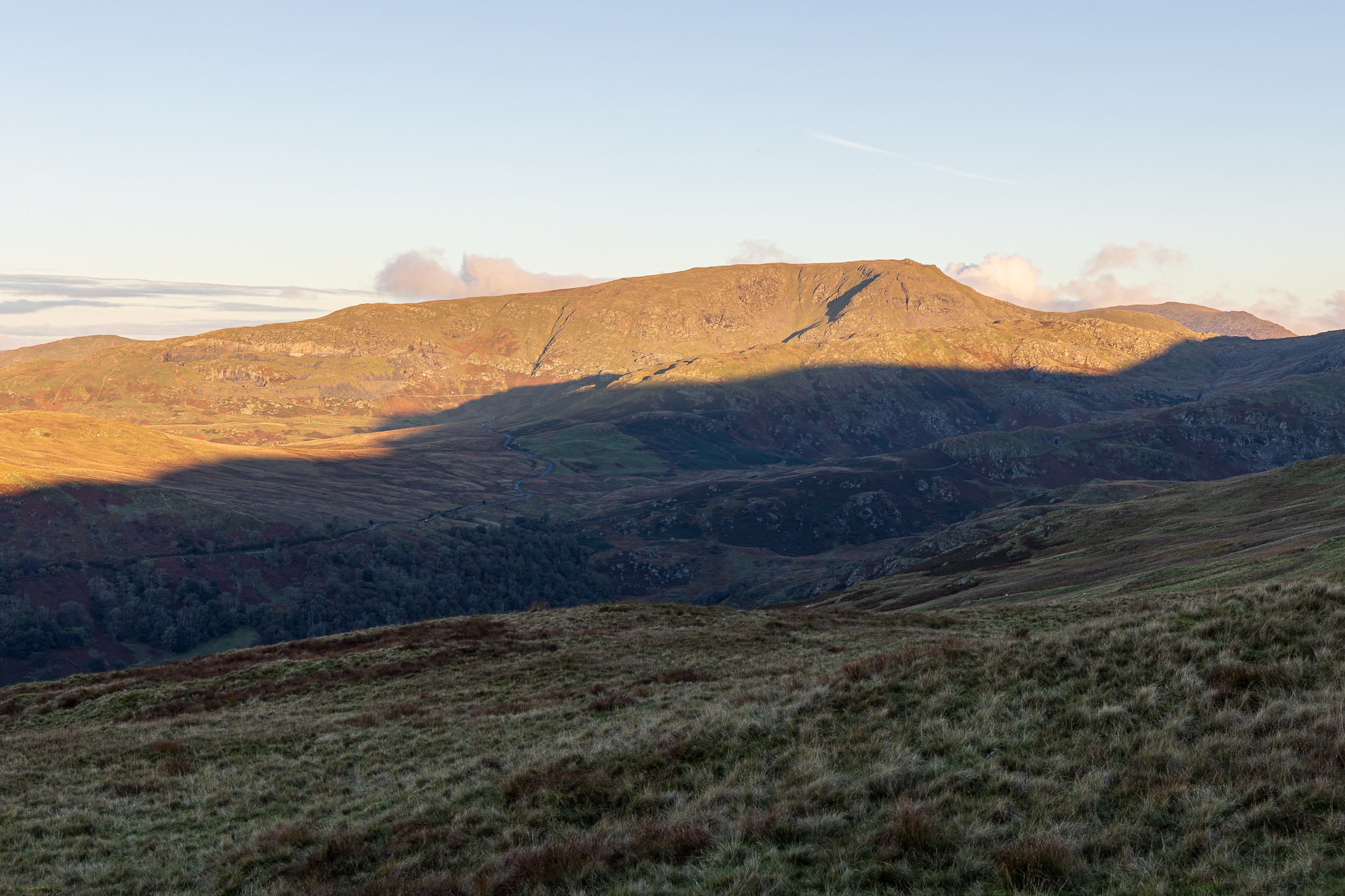
Red Screes. 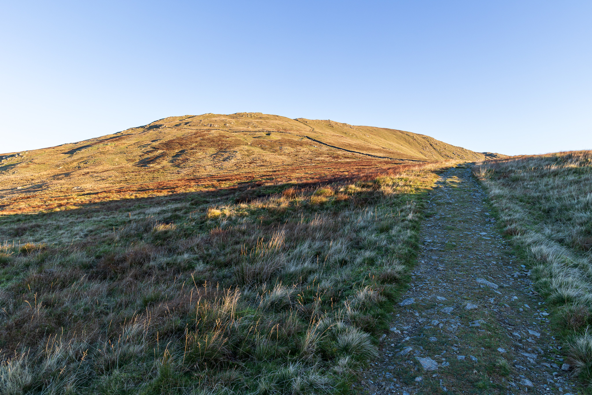
Following the track to Yoke. 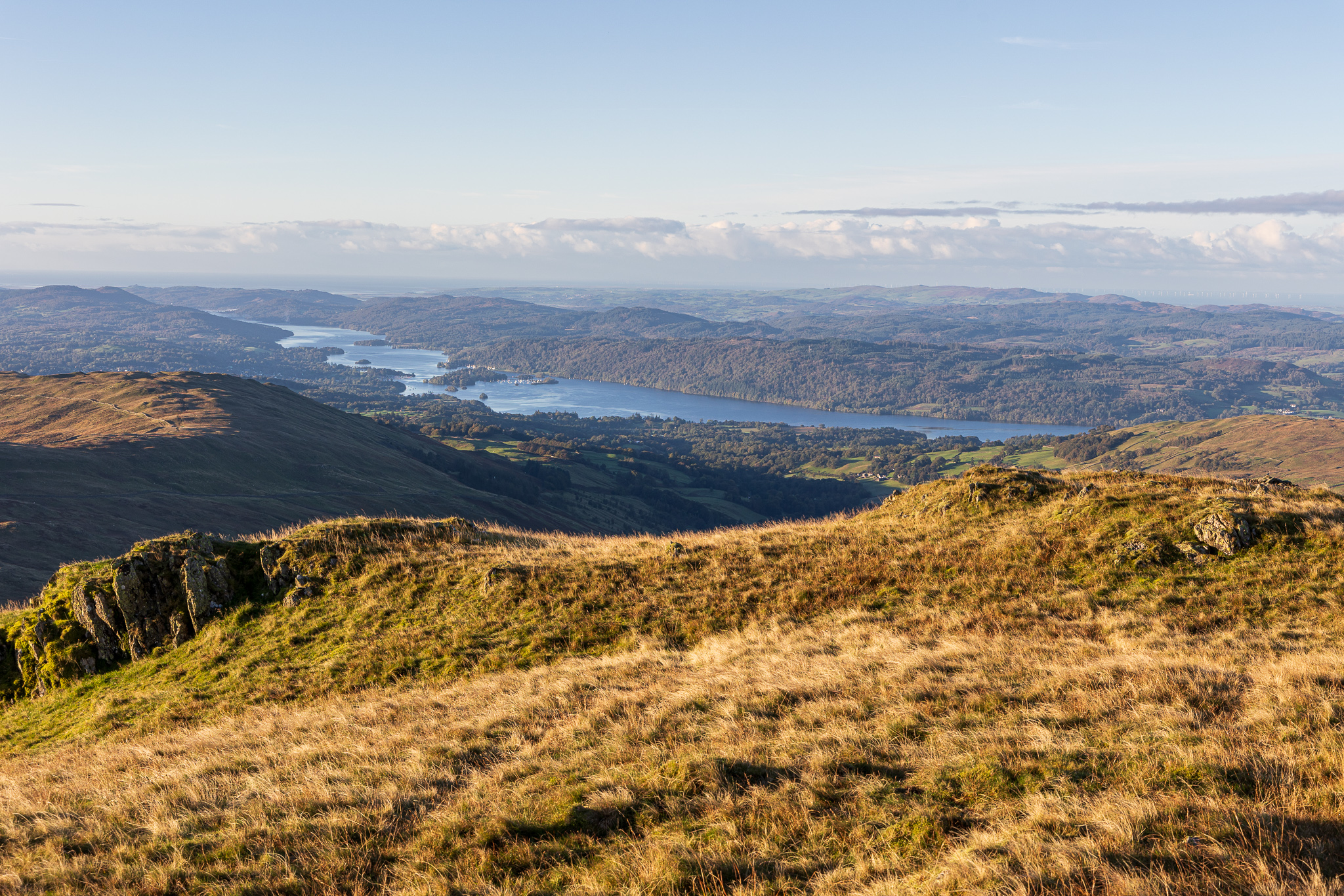
Windermere form the climb. 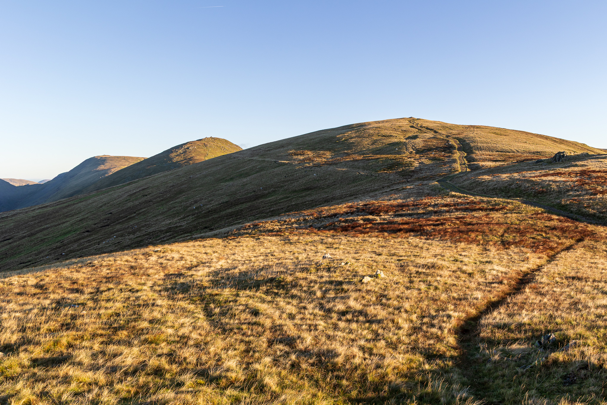
The outward leg of the Kentmere Horseshoe – Yoke first, Ill Bell then Froswick. 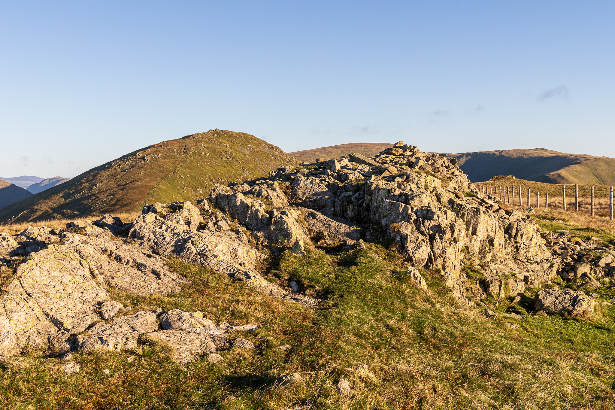
The summit of Yoke with Ill Bell, High Street and Mardale Ill Bell in view. 
Finlay on Yoke – he was loving this walk today. 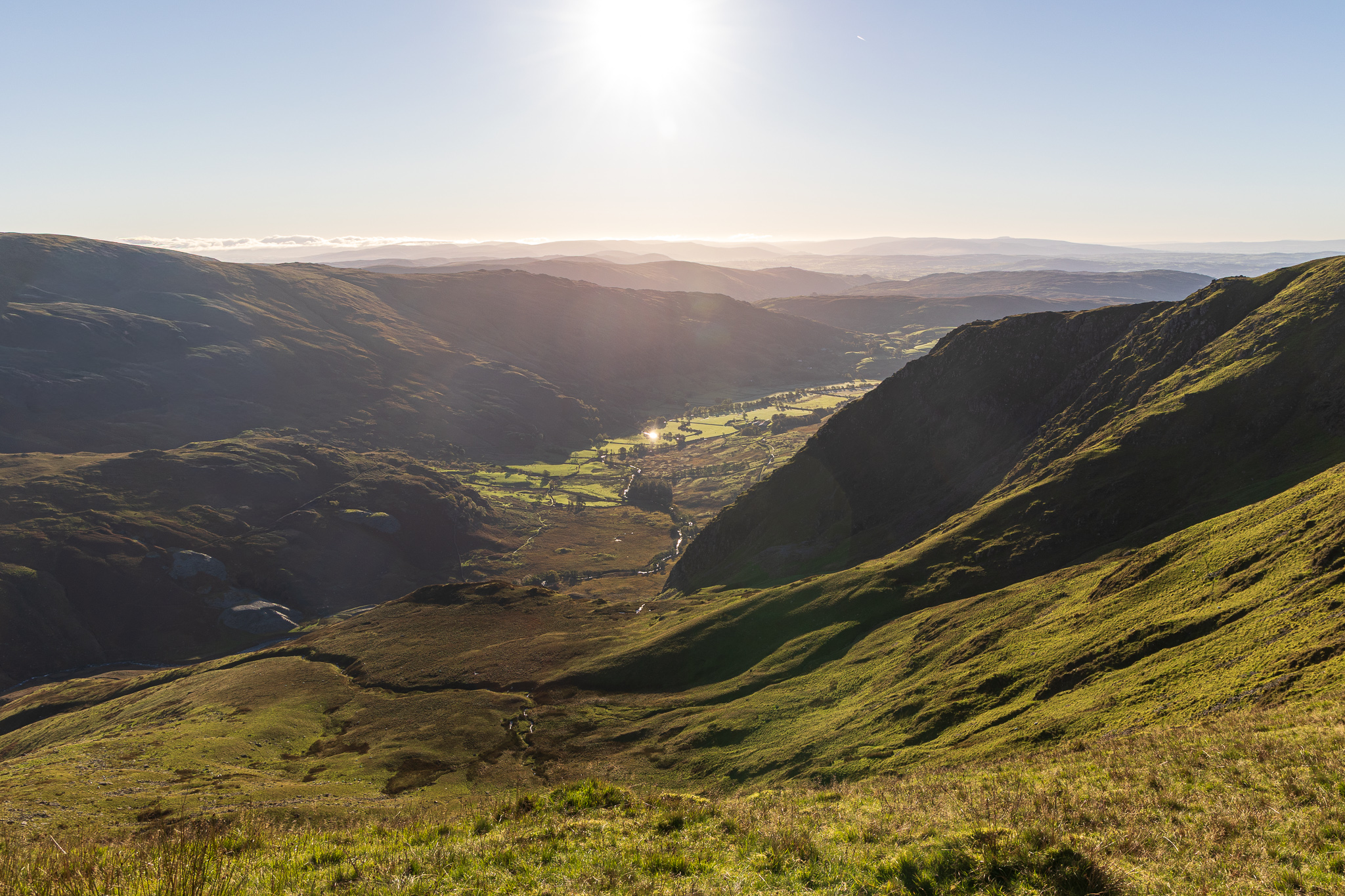
A view along Kentmere. 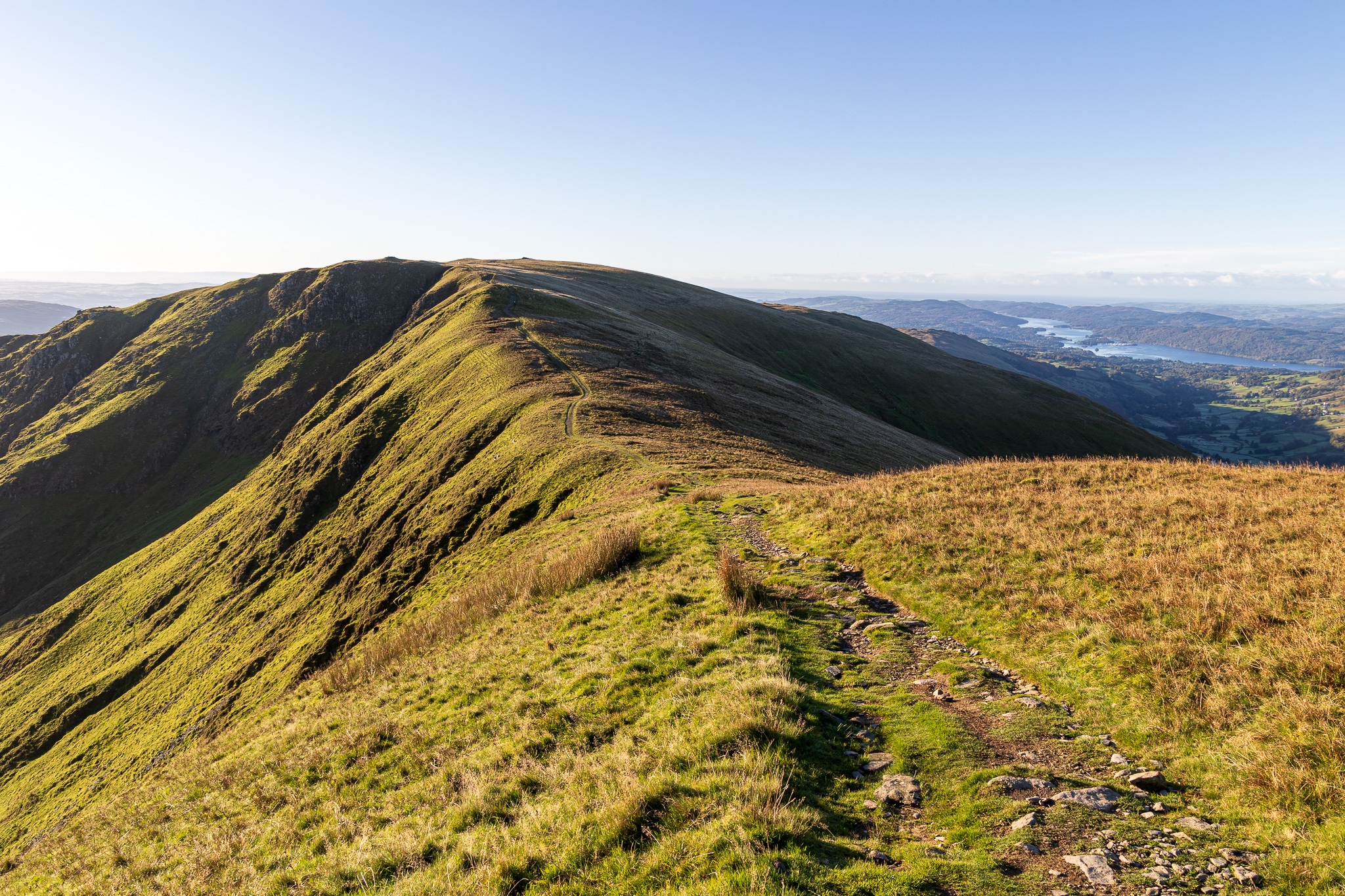
Looking back to Yoke and Windermere from the climb to Ill Bell. 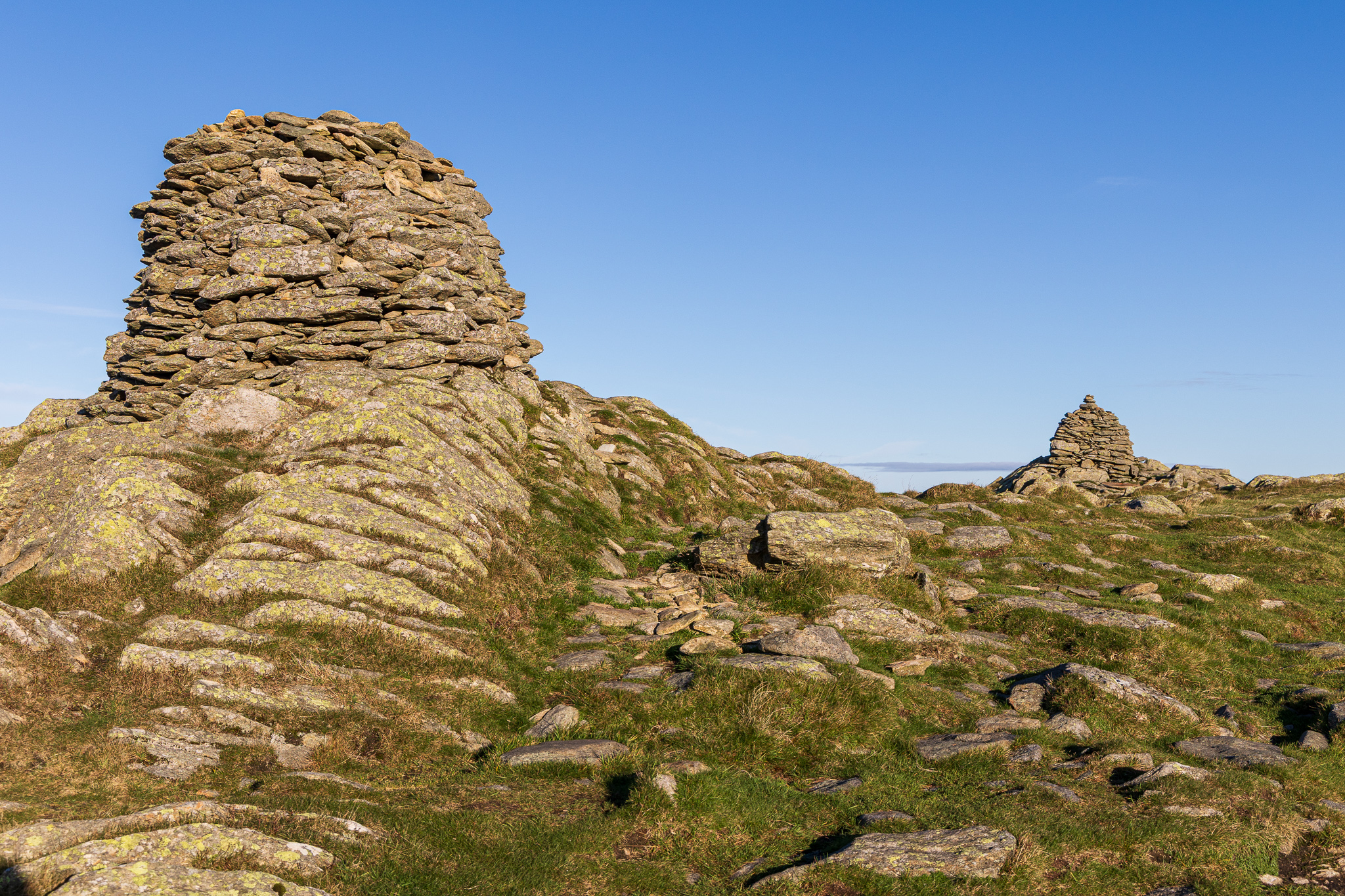
There are only two large cairns standing on Ill Bell these days (there were three from my memory and four in the Wainwright guide book). The furthest north is the highest point. 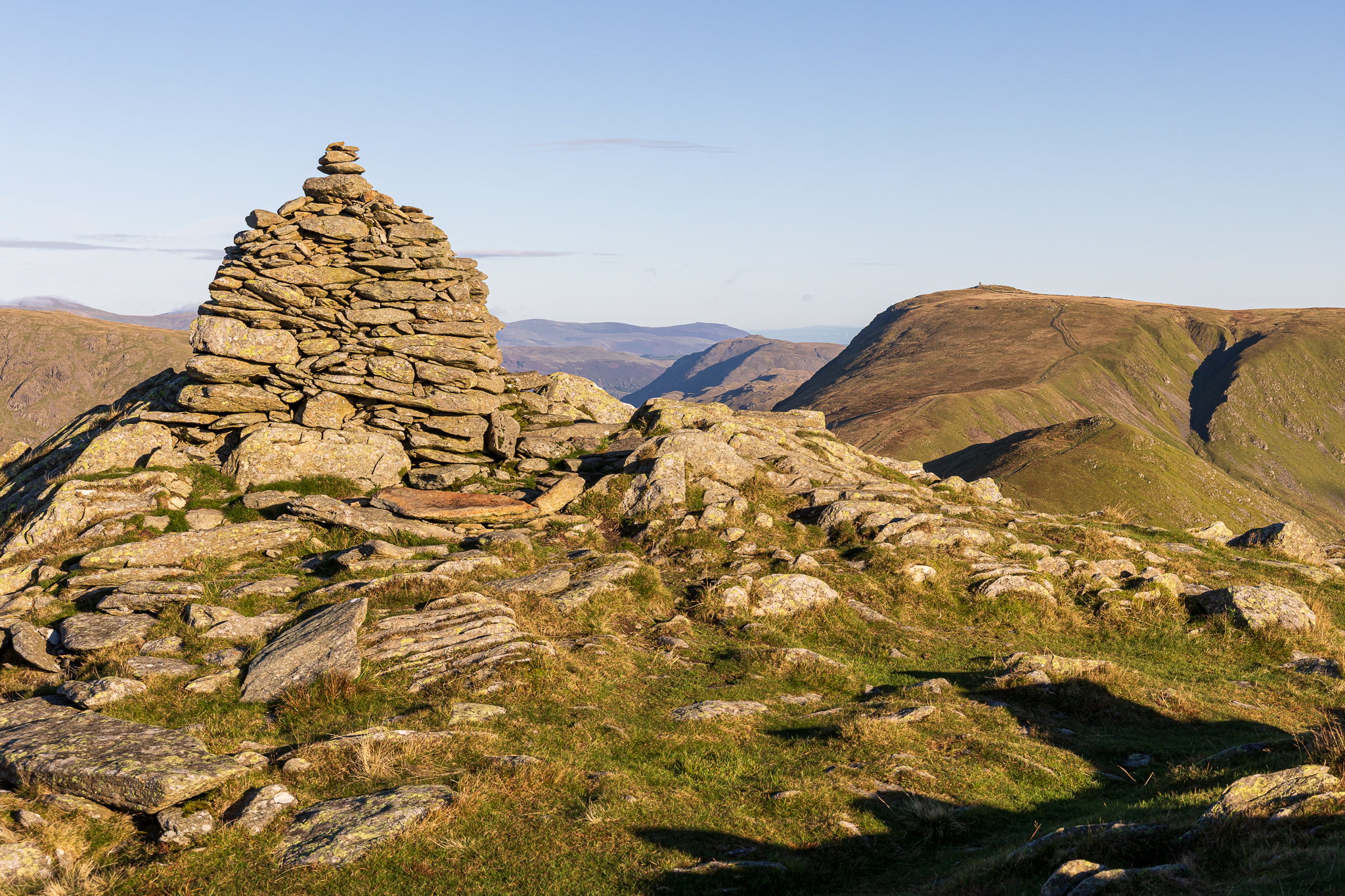
Thornthwaite Crag from the summit of Ill Bell. 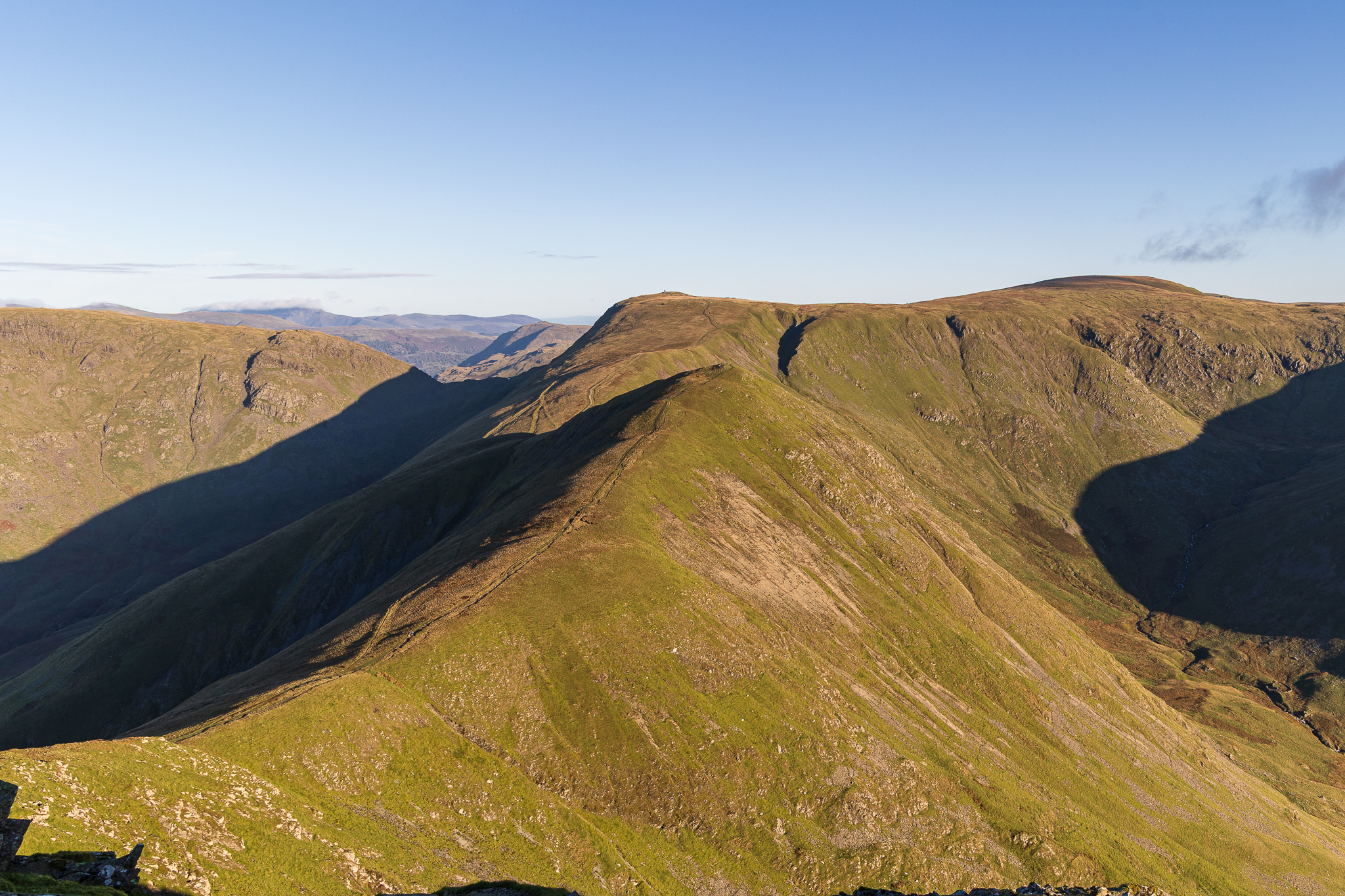
Thornthwaite Crag and Froswick from Ill Bell. 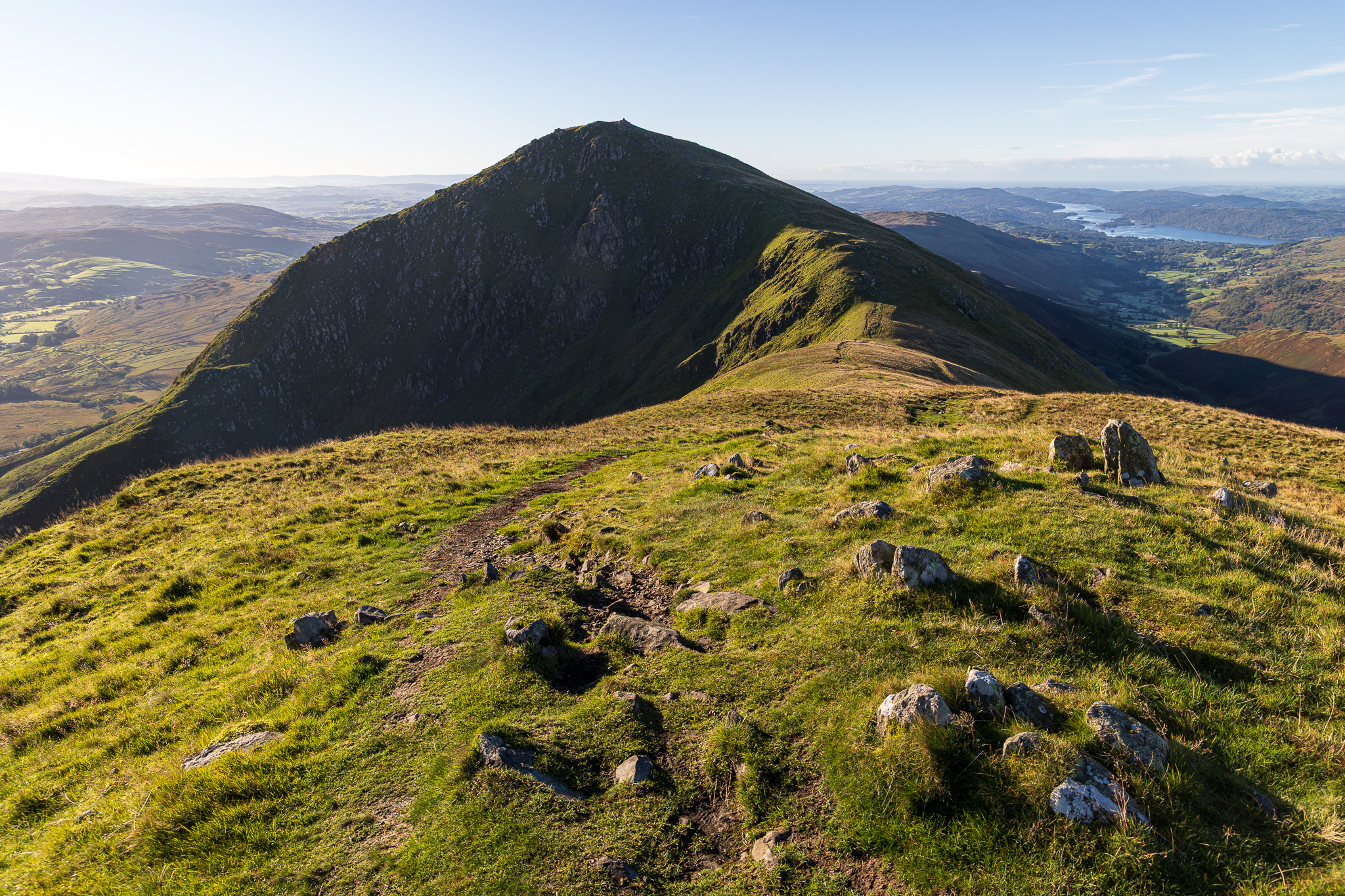
Ill Bell from Froswick. 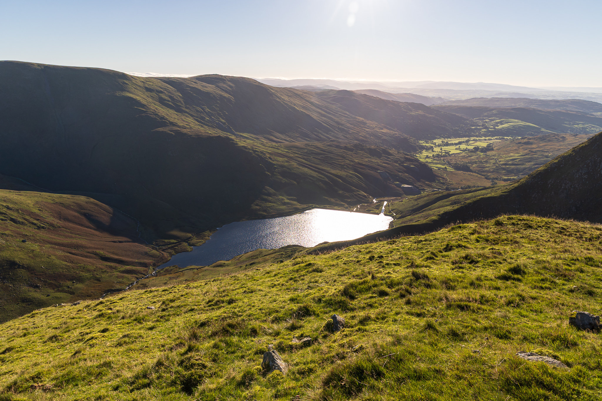
Kentmere Reservoir and Valley. 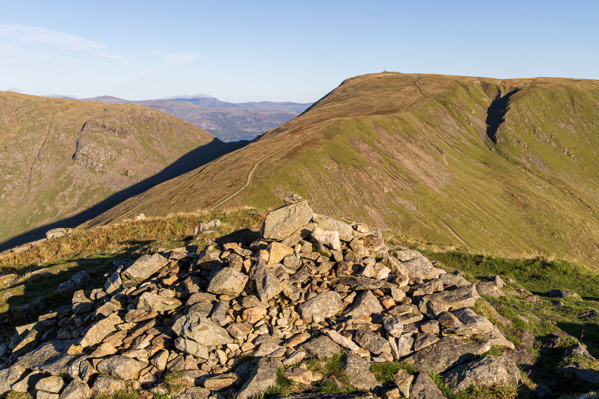
Froswick summit looking to Thornthwaite Crag, the beacon easily visible now. As the sun rose higher it started to get a little warmer – it was still only 09:30 so we were making good progress. 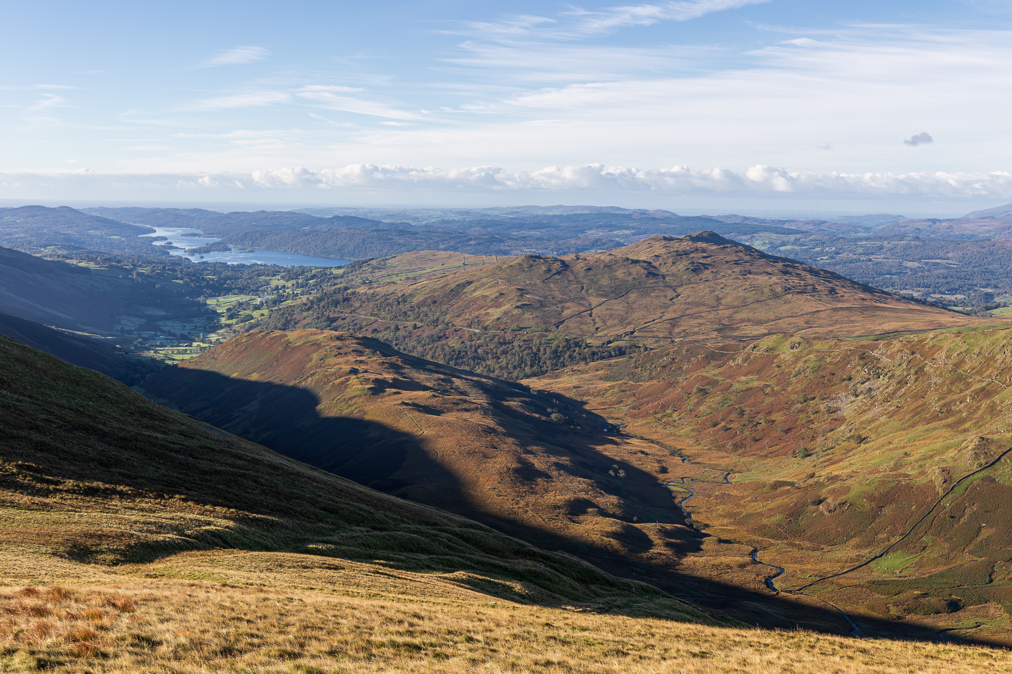
Troutbeck Tongue and Wansfell with Windermere beyond. 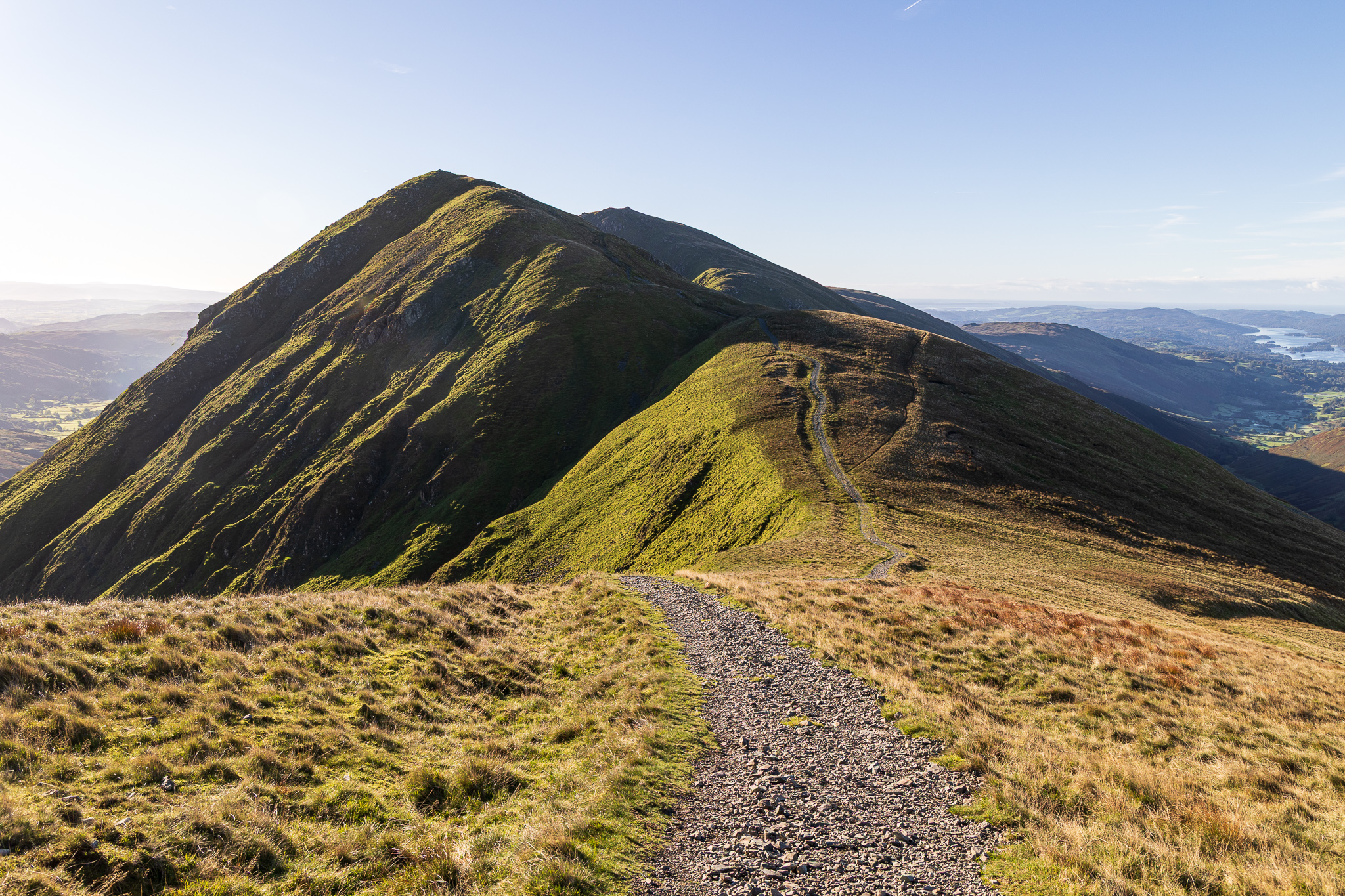
Froswick and Ill Bell from the climb to Thornthwaite Crag. 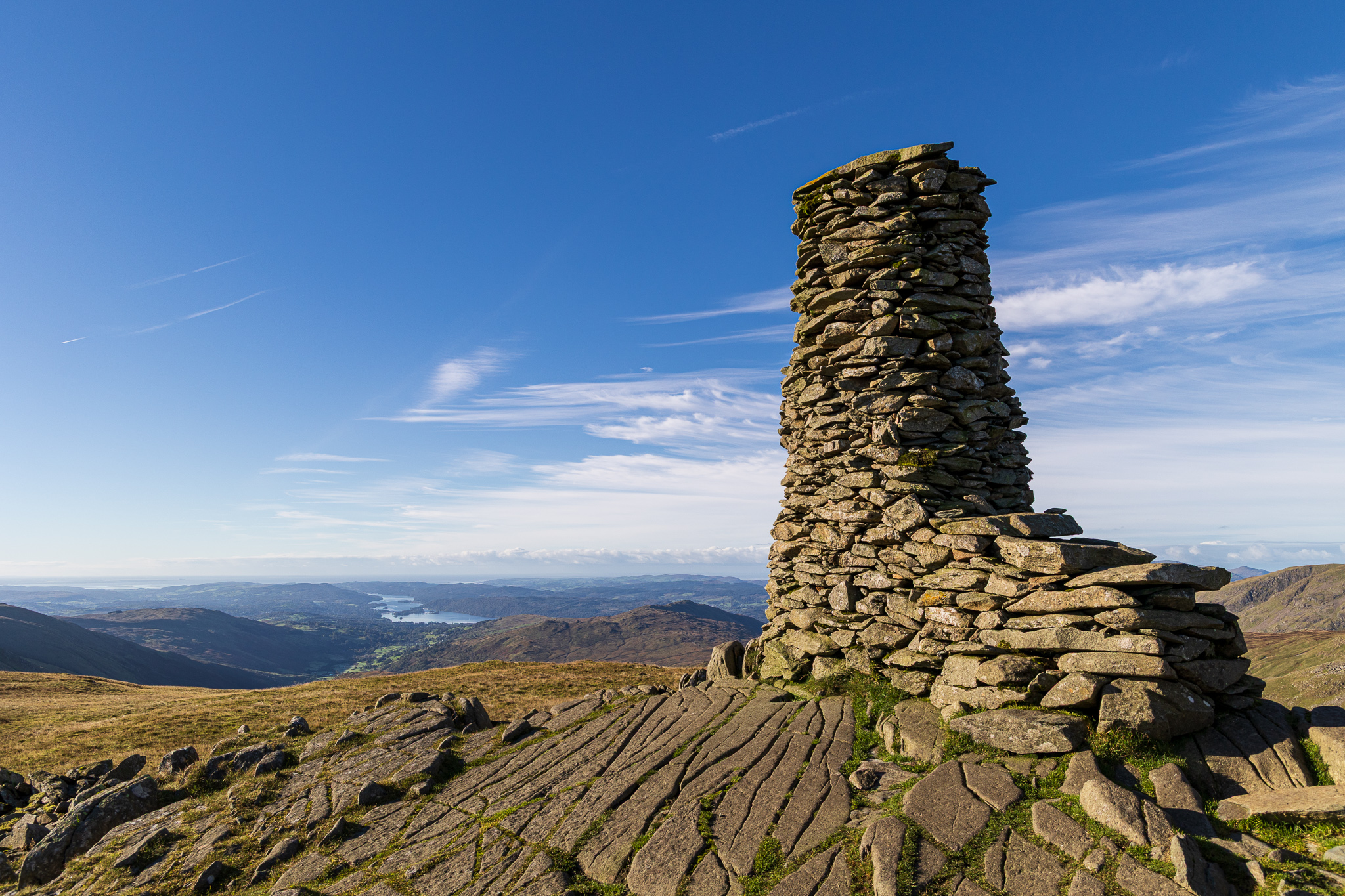
Made it to the beacon on Thornthwaite Crag under a beautiful blue sky. 
Although not strictly part of the Kentmere Horseshoe classic round, it seems a shame to miss out High Street as it is a relatively easy walk from here, especially on a good day like this – what do you think? High Street yay or nay? 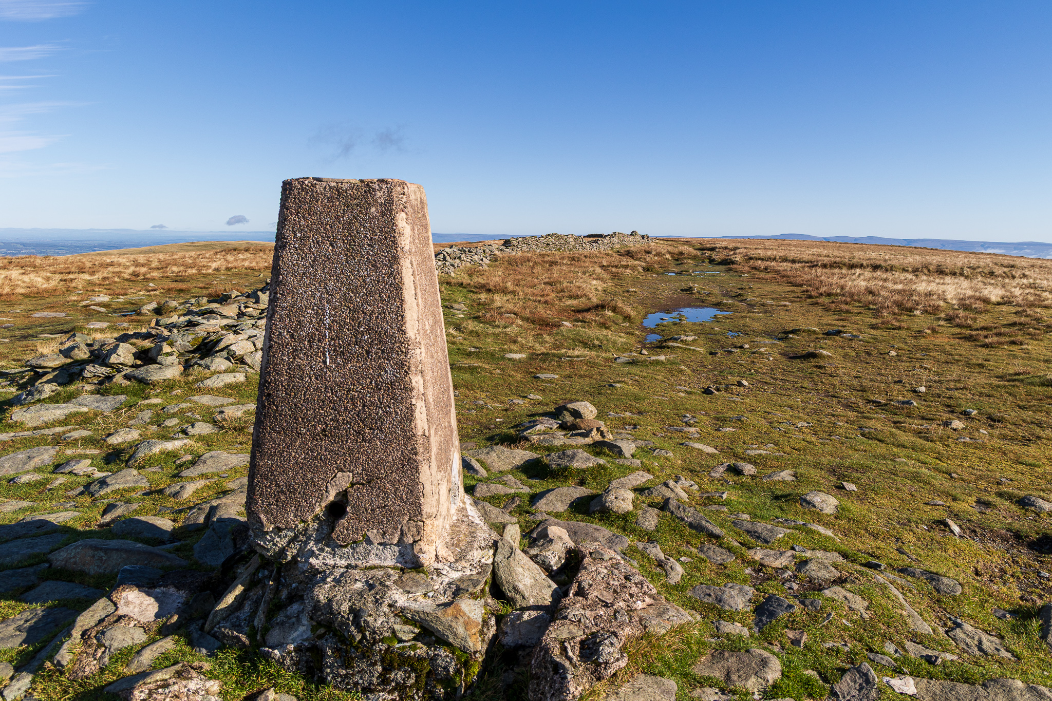
It took about 20 minutes from Thornthwaite Crag to High Street when I looked, so not too bad. This is the second time we have visited this year as we came in August as part of our Riggindale Round walk. You don’t come for 13 years then you come twice in 6 weeks! Similarly with Mardale Ill Bell, perhaps I should have planned better. 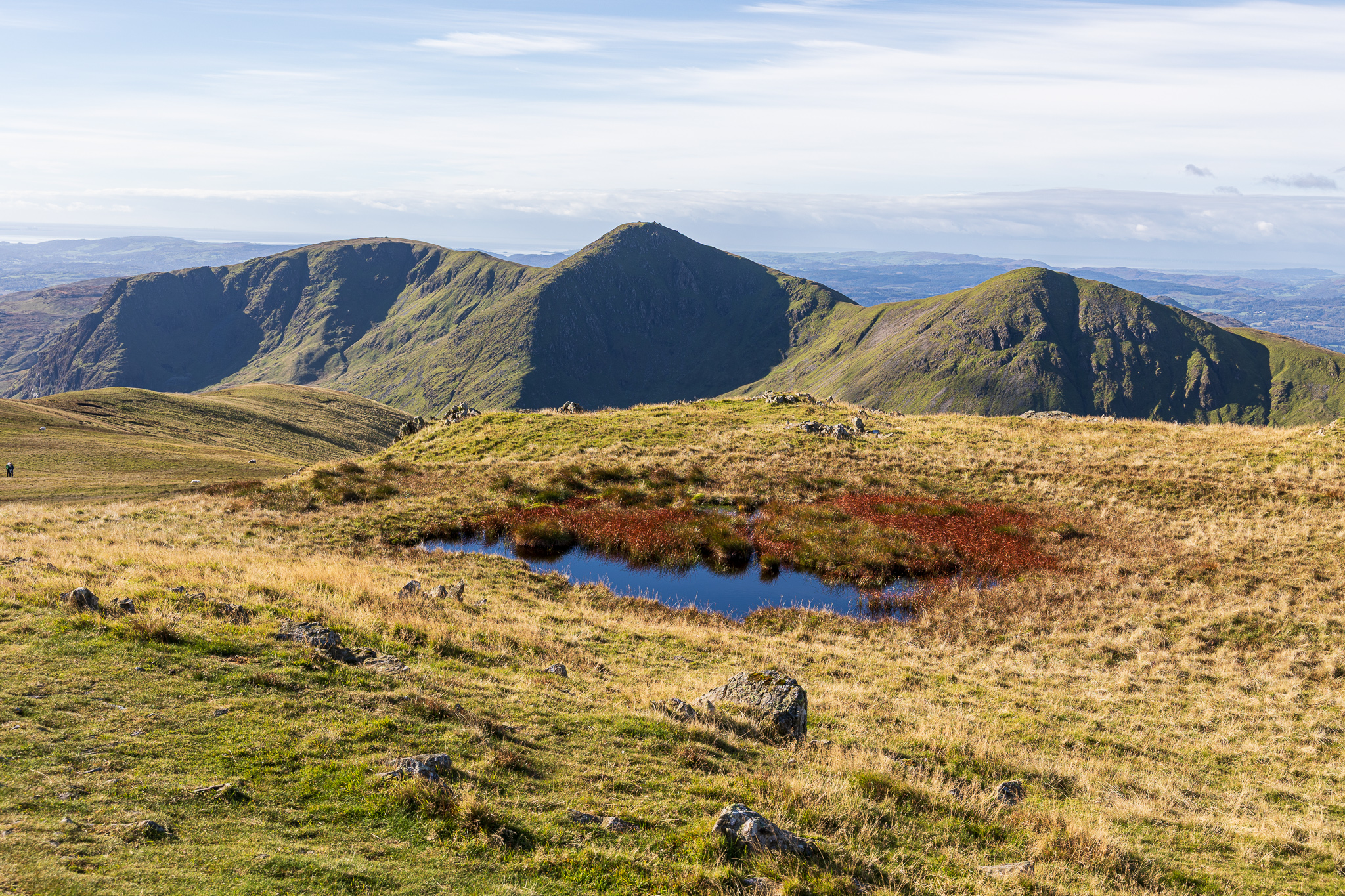
Yoke – Ill Bell – Froswick ridge from Mardale Ill Bell. 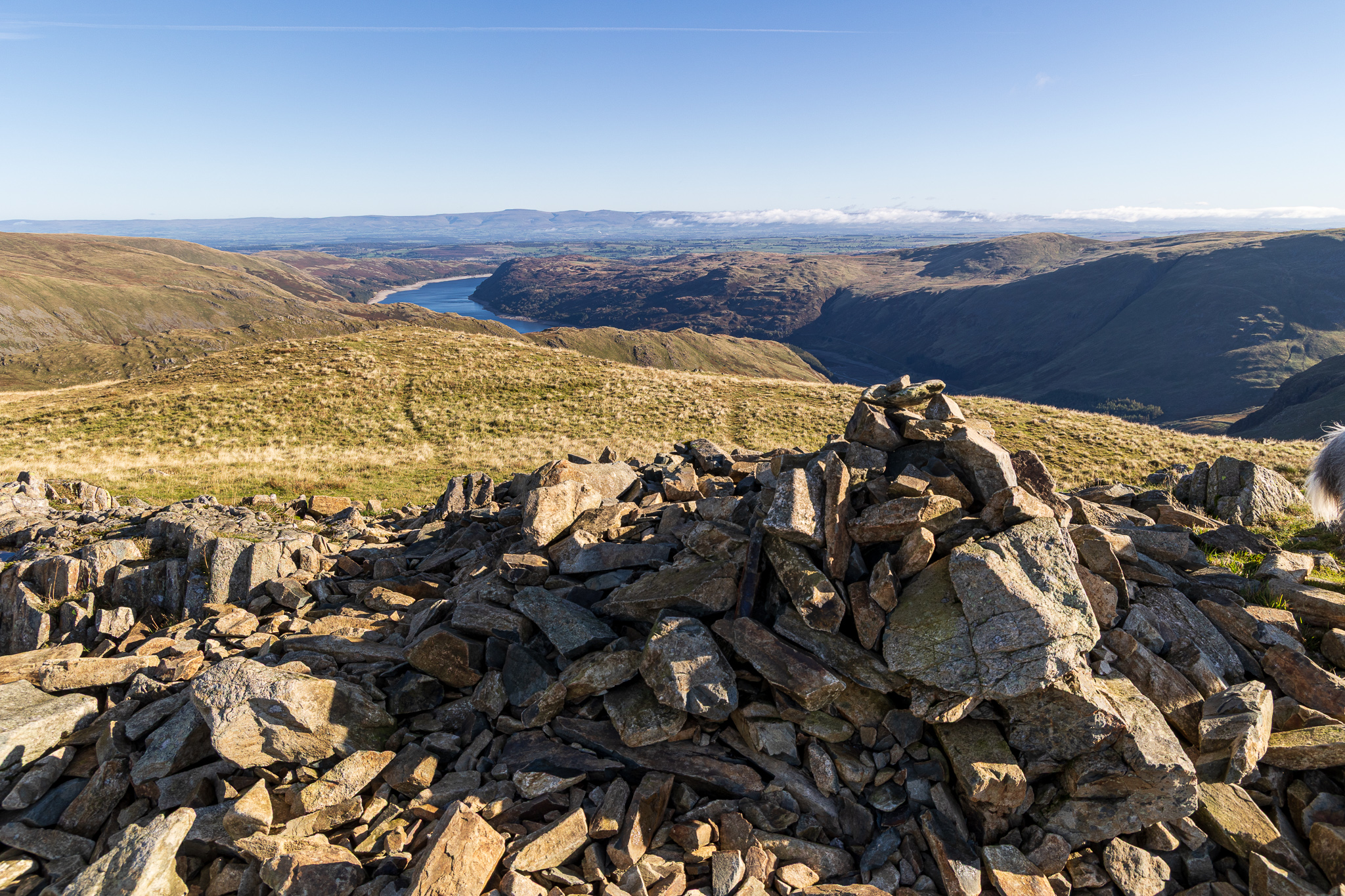
Haweswater from Mardale Ill Bell. On the descent from High Street I managed to turn my ankle, that hurt a bit but I will be a little more wary of my step from now on. 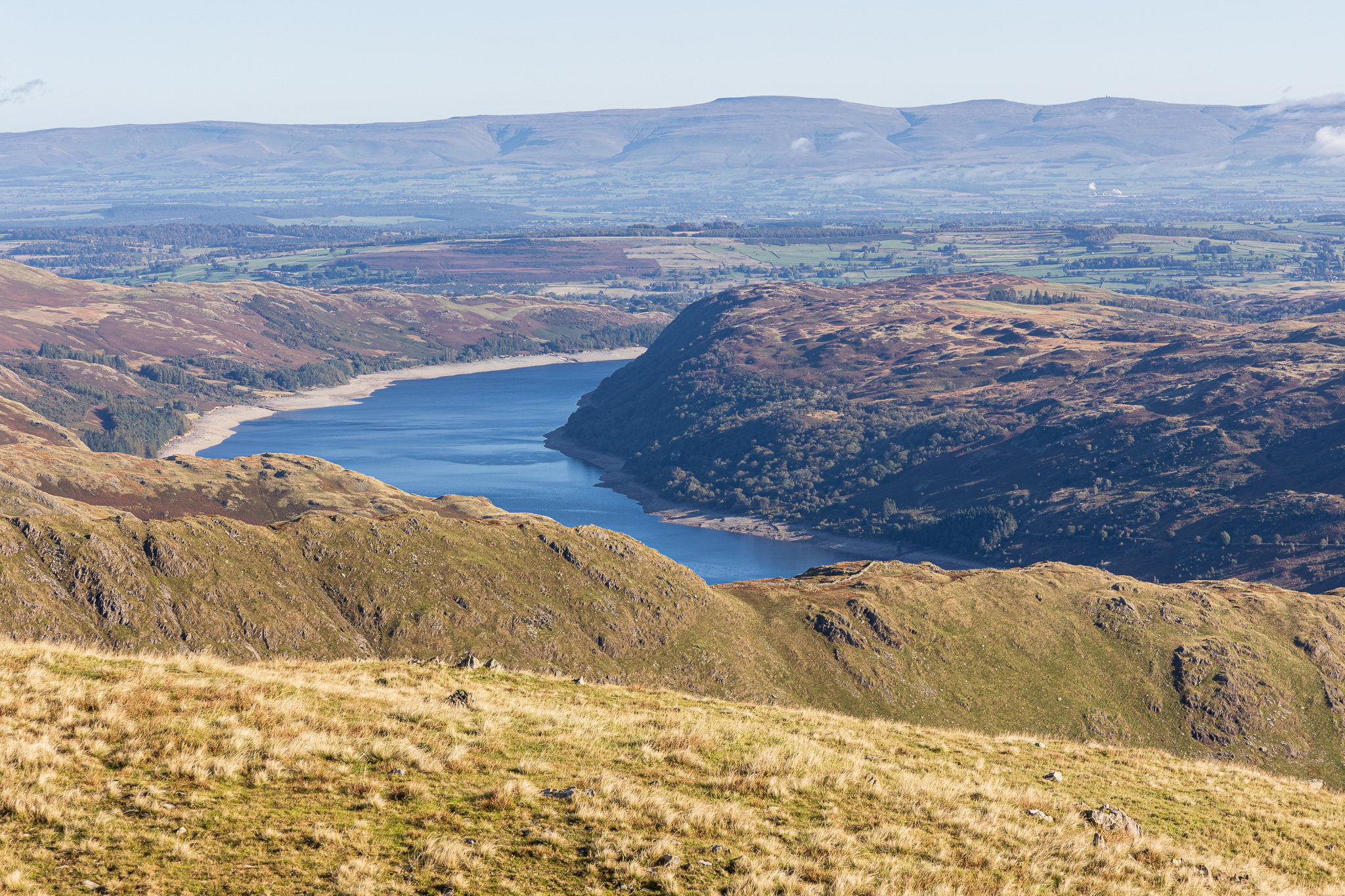
Close up on Haweswater. 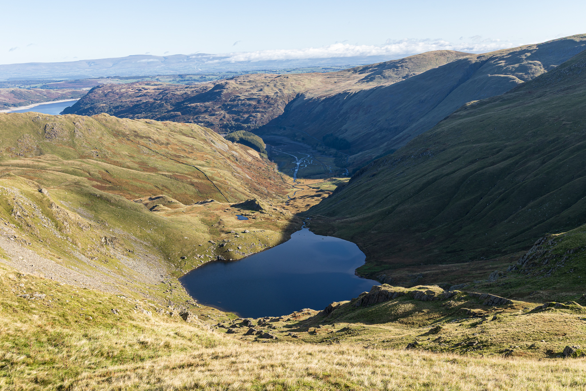
Haweswater (still looking empty at this end) and Small Water from the Nan Bield ridge. decsening the rough track here, I managed to turn my ankle again – my gosh, that was painful! I had to sit for a couple of minutes to let the pain diminish before carrying on. 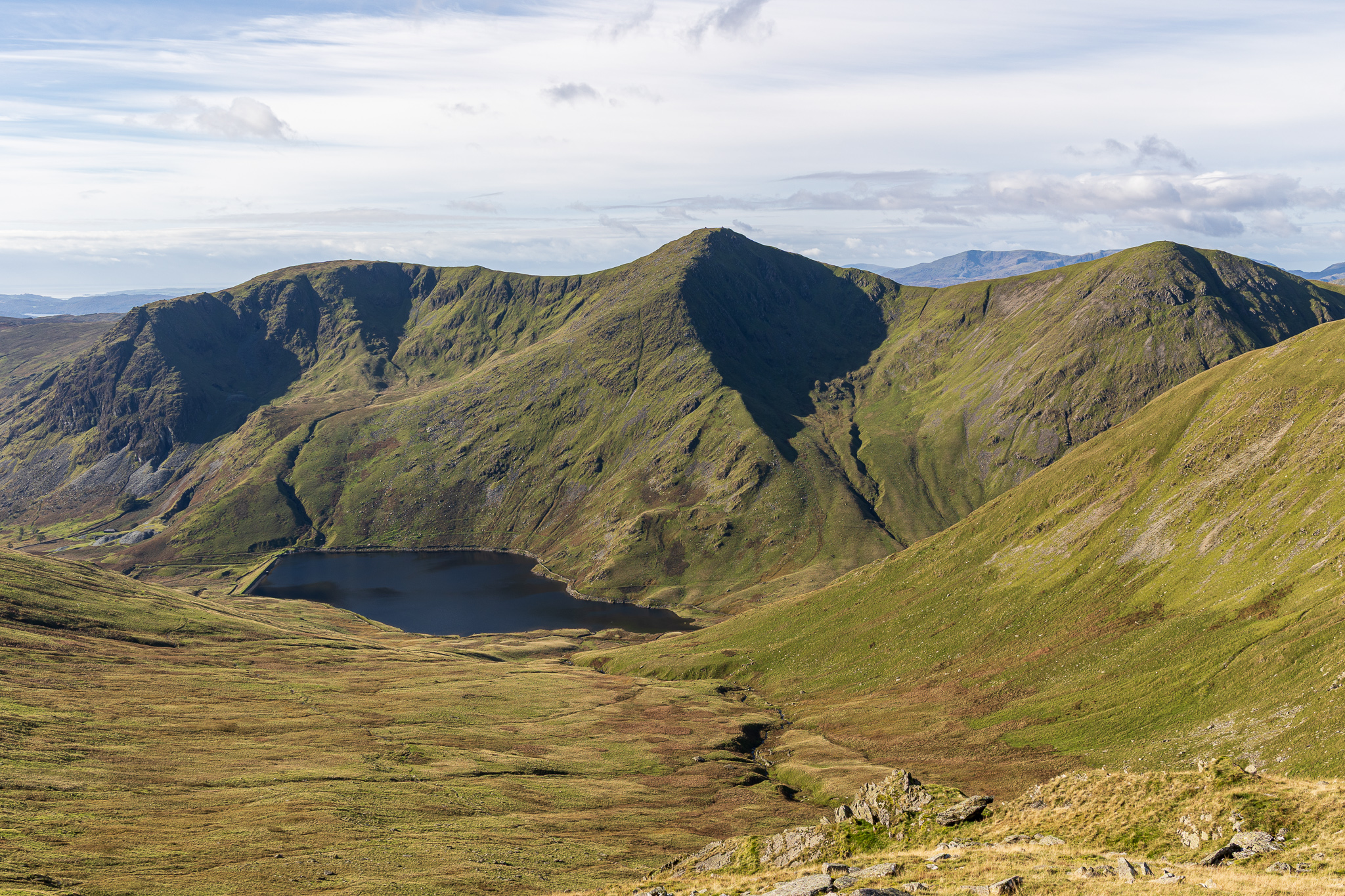
Kentmere Reservoir and the outward leg of the horseshoe. 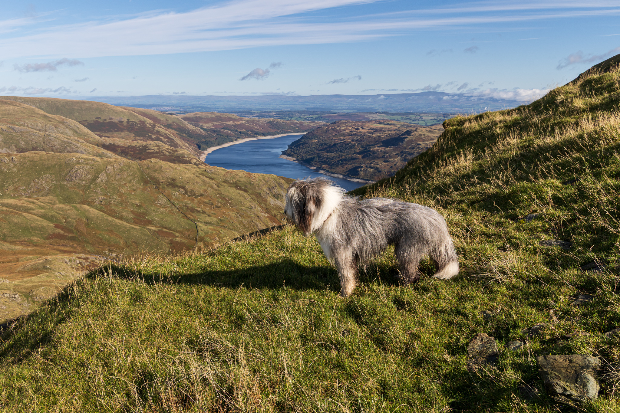
Finlay on the climb to Harter Fell. We were overtaken by a fell runner up this section, that looked tough! 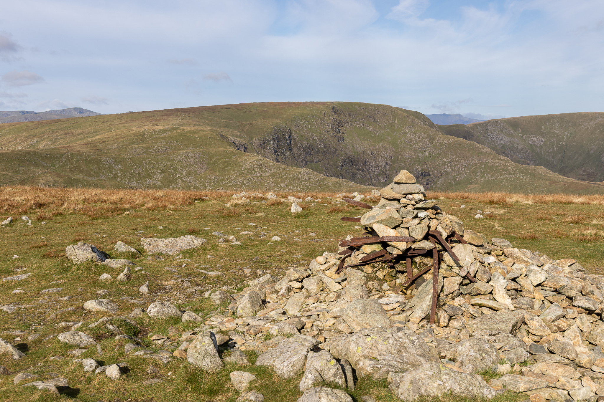
Harter Fell summit looking to Mardale Ill Bell and High Street. Once up on here, the wind seemed to pick up and it was quite cool again and almost imperceptibly the cloud started to come over. 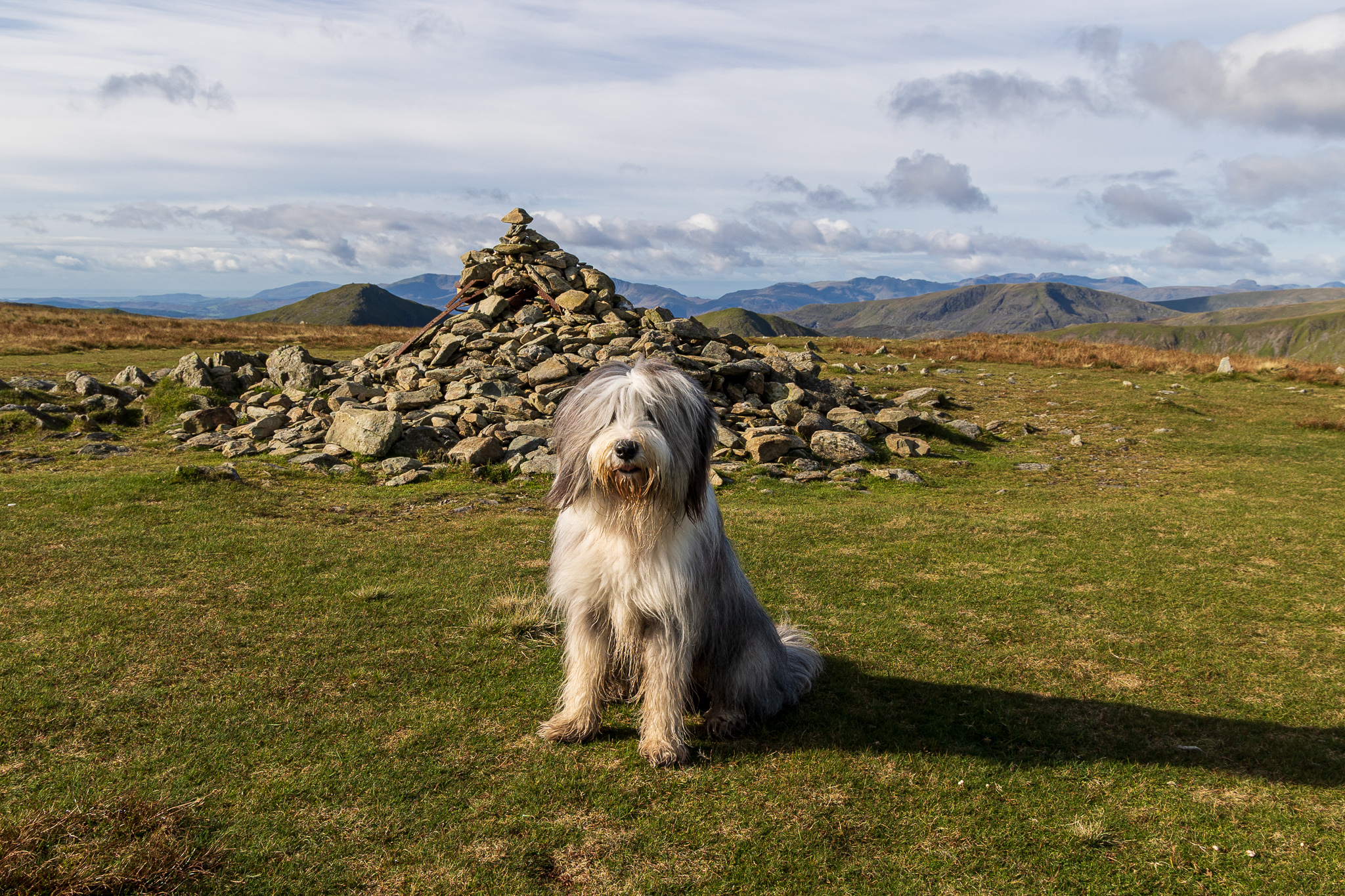
Finlay on Harter Fell, Wainwright #64 for him. When we left Harter Fell, I thought that at least the going would be easy from here on back to Kentmere as really it is just a grassy descent. Hmm, as I walked towards The Knowe, not far along the grassy ridge, I managed to turn my ankle for the third time. Now I felt sick. 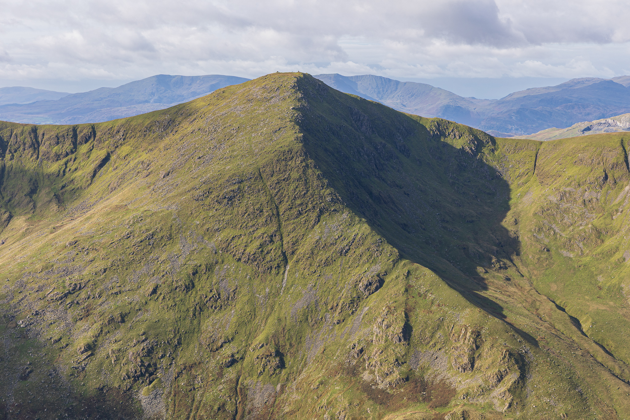
It’s a good job there was no one around to see me hit the deck and roll around yelping in pain. Finlay was a great help, he just gave me a sniff as I Iay there. I sat there for a while and had a brew before carrying on. At least I got this view of the north-east ridge, which certainly looks interesting from here. 
I was walking very gingerly now, mindful of my ankle – I couldn’t go over on it again so easy does it! This is the path to Kentmere Pike. 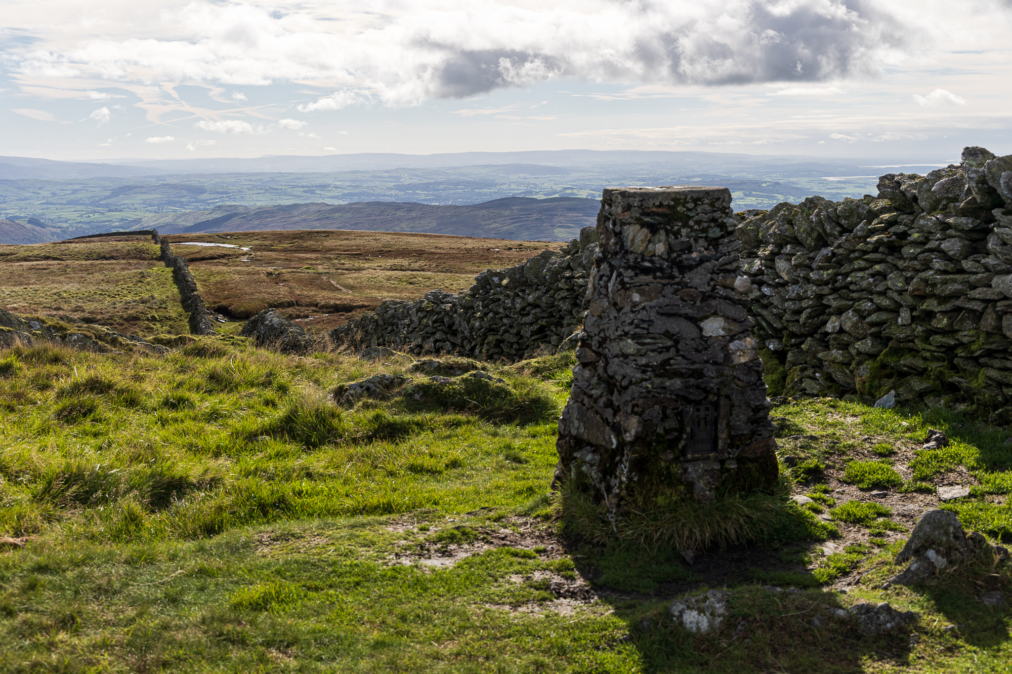
Kentmere Pike summit. 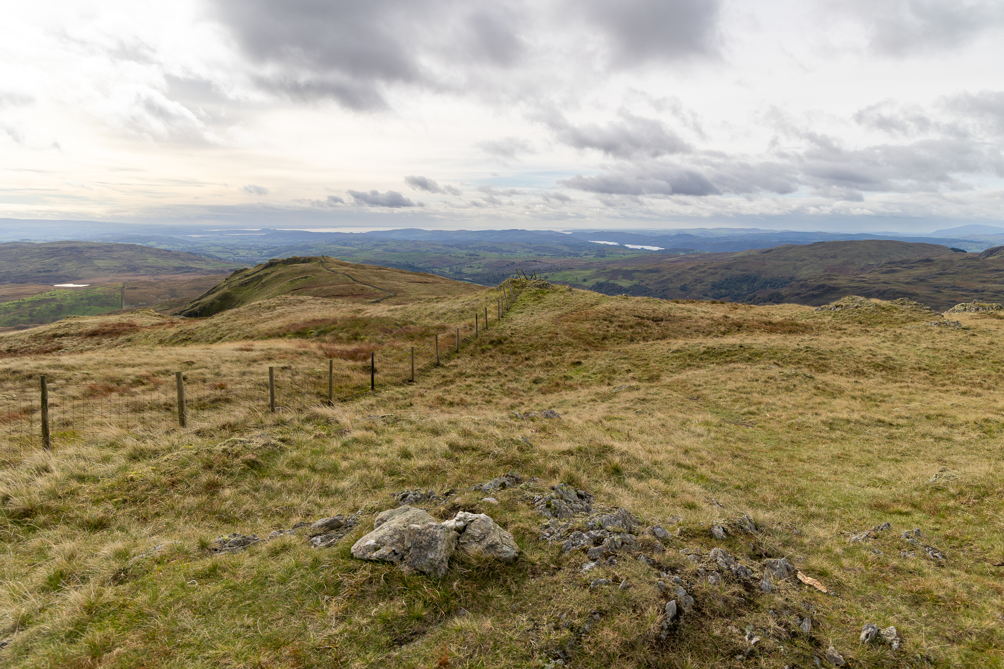
I made a slight detour out to Goat Scar instead of the direct route to Shipman Knotts, it seemed a shame to miss it out. Shipman Knotts is out to the left and the clouds are overtaking us now. 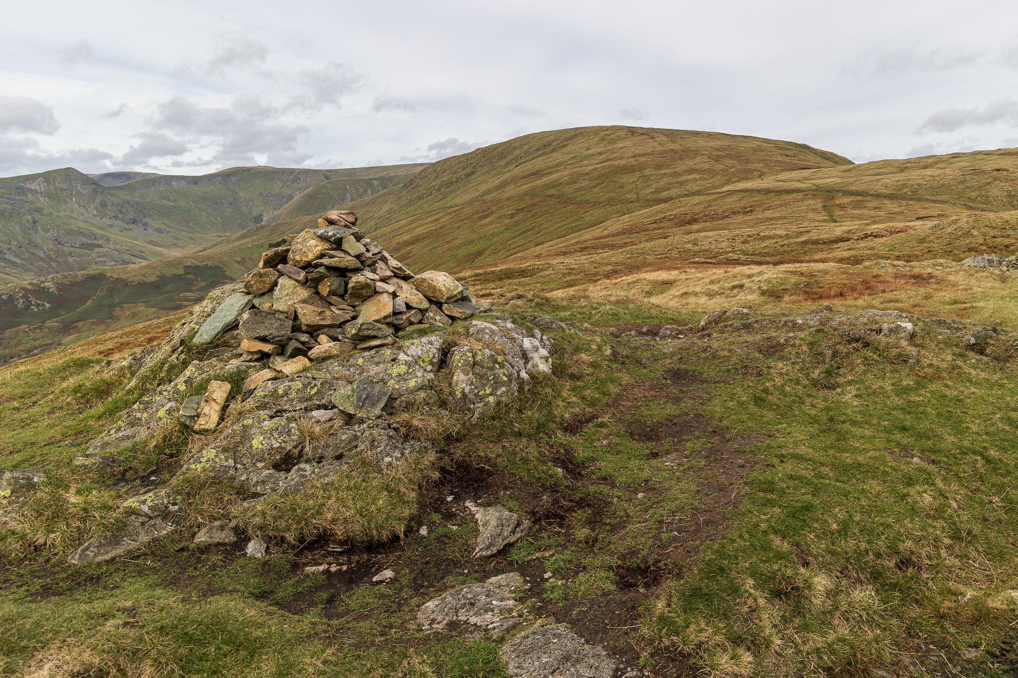
Shipman Knotts summit cairn on the western side of the wall (where the path is). The true summit is over the wall but there is no easy way to get to it. 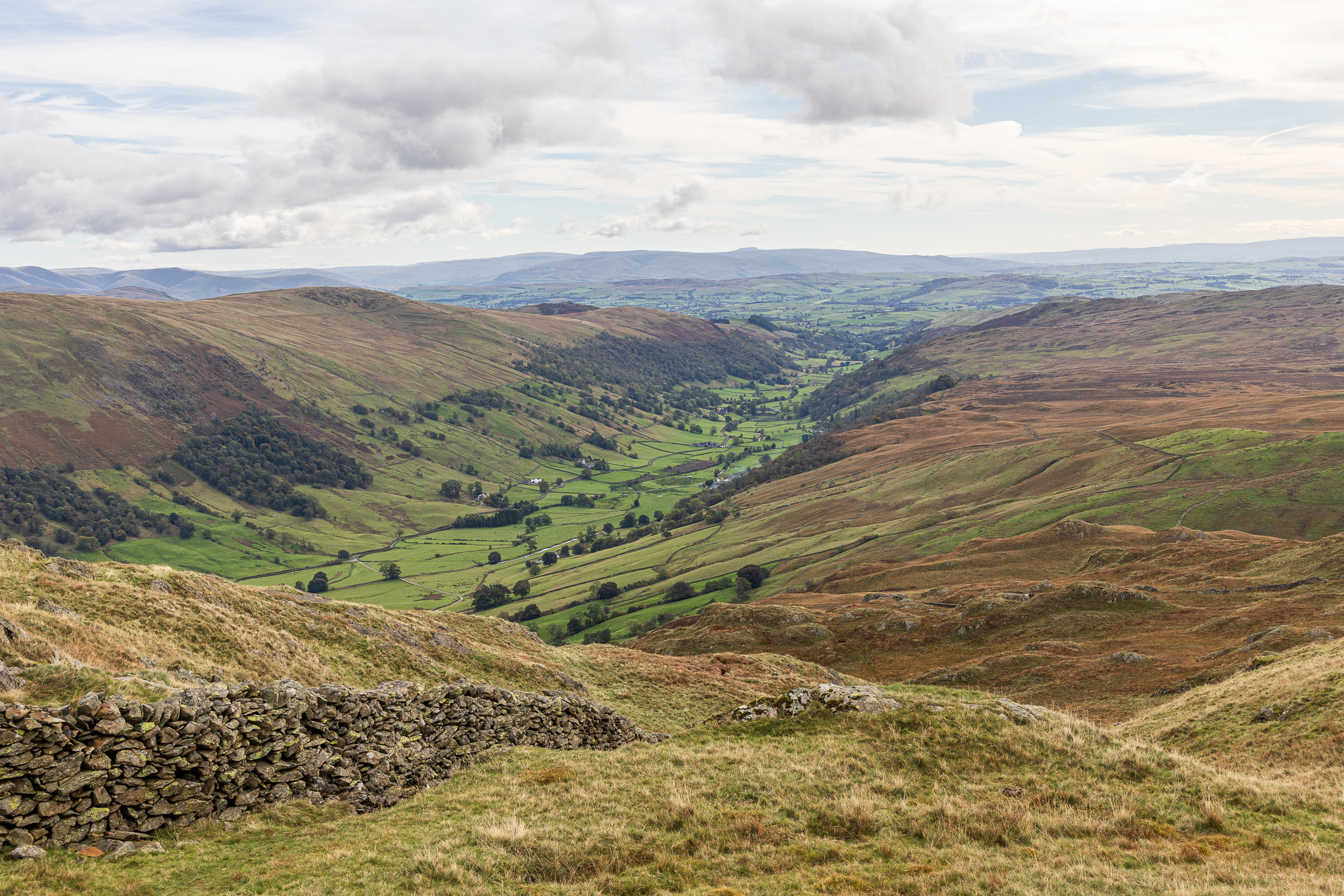
A view into Longsleddale. From here (very!) carefully picked a way down through Wray Crag on the slippery grass slopes. 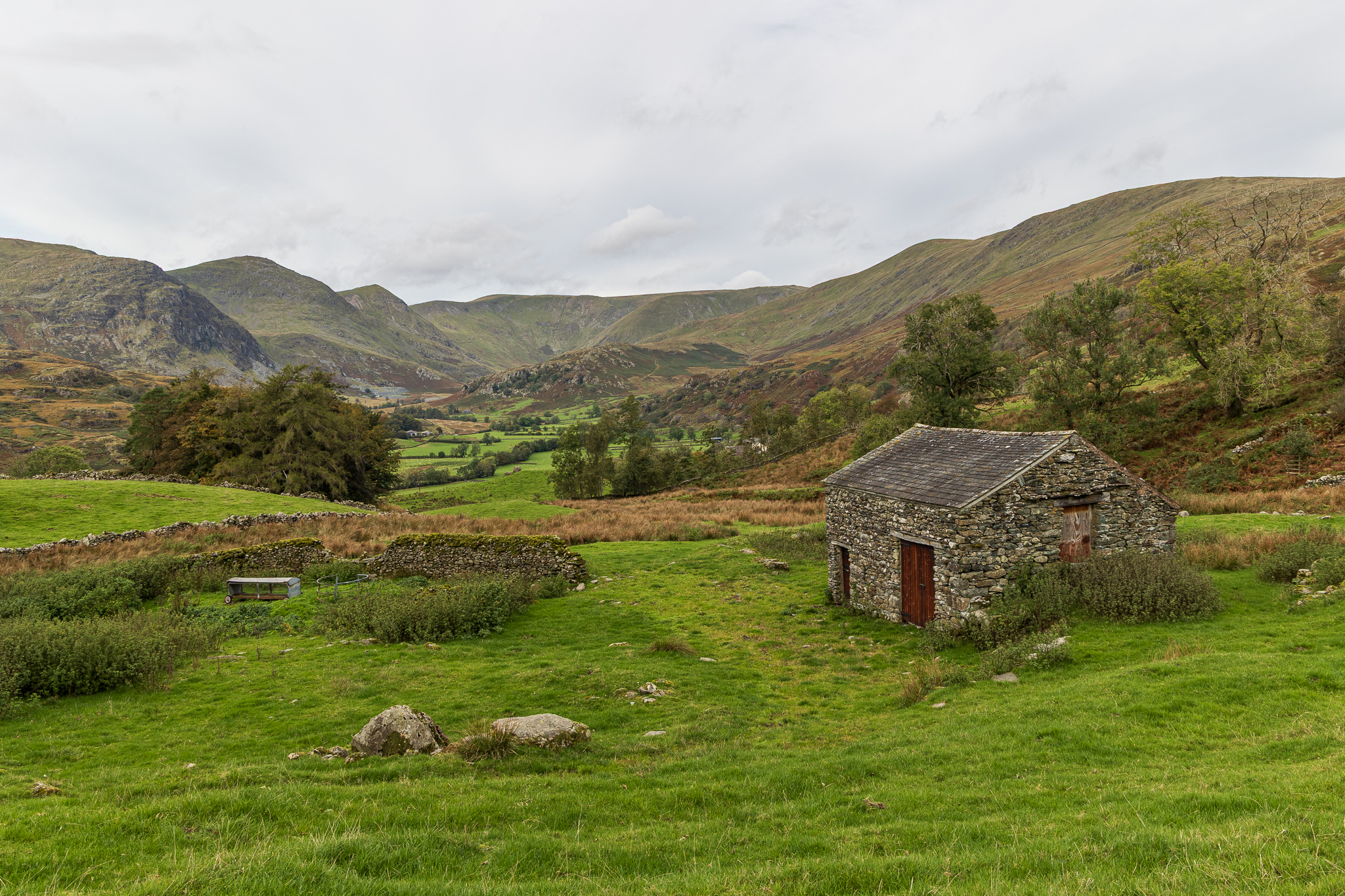
The Kentmere Horseshoe from Stile End. From here there is still another mile or so along country tracks to get back to the church. I’ll spare you photos of my ankle, but needless to say it is well and truly sprained!