
Start Point: Waterend, Loweswater (NY 118 225)
Waterend, Loweswater – Mosser Fell – Fellbarrow – Smithy Fell – Sourfoot Fell – Low Fell – Loweswater Fell – Darling Fell – Waterend, Loweswater
| Distance: | 8.9 km / 5.5 miles |
| Total Ascent: | 468 m |
| Time Taken: | 3 hours |
| Start Time: | 08:00 |
| Weather: | Overcast, sunny spells. 8ºC |
| Finlay’s Wainwright Count: | 68/214 (2 new this walk) |
Following on from last week’s walk where I managed to turn my ankle three times, I had a few days rest with the badly swollen ankle strapped up. Thankfully the damage didn’t seem to be too bad but I was wary of overdoing it too early, especially walking on rough ground, so I needed something that was a bit easier going and this walk seemed to fit the bill. As with all my re-visiting walks, I can hardly believe how long it has been since I was last here and this is no exception – March 2011 was my previous walk on these fells so this is long overdue.
These are relatively low fells in stature but the view from Low Fell is magnificent along the Buttermere Valley. I think previously I have only really been here when the weather is not so great but today the weather was reasonable and it would be well worth a visit on a summer’s day I am sure. I enjoyed this one, I took it at a gentle pace and was really watching my step with heavy strapping on my ankle; descents were done with tiny steps to make sure there was no fourth ankle turn!
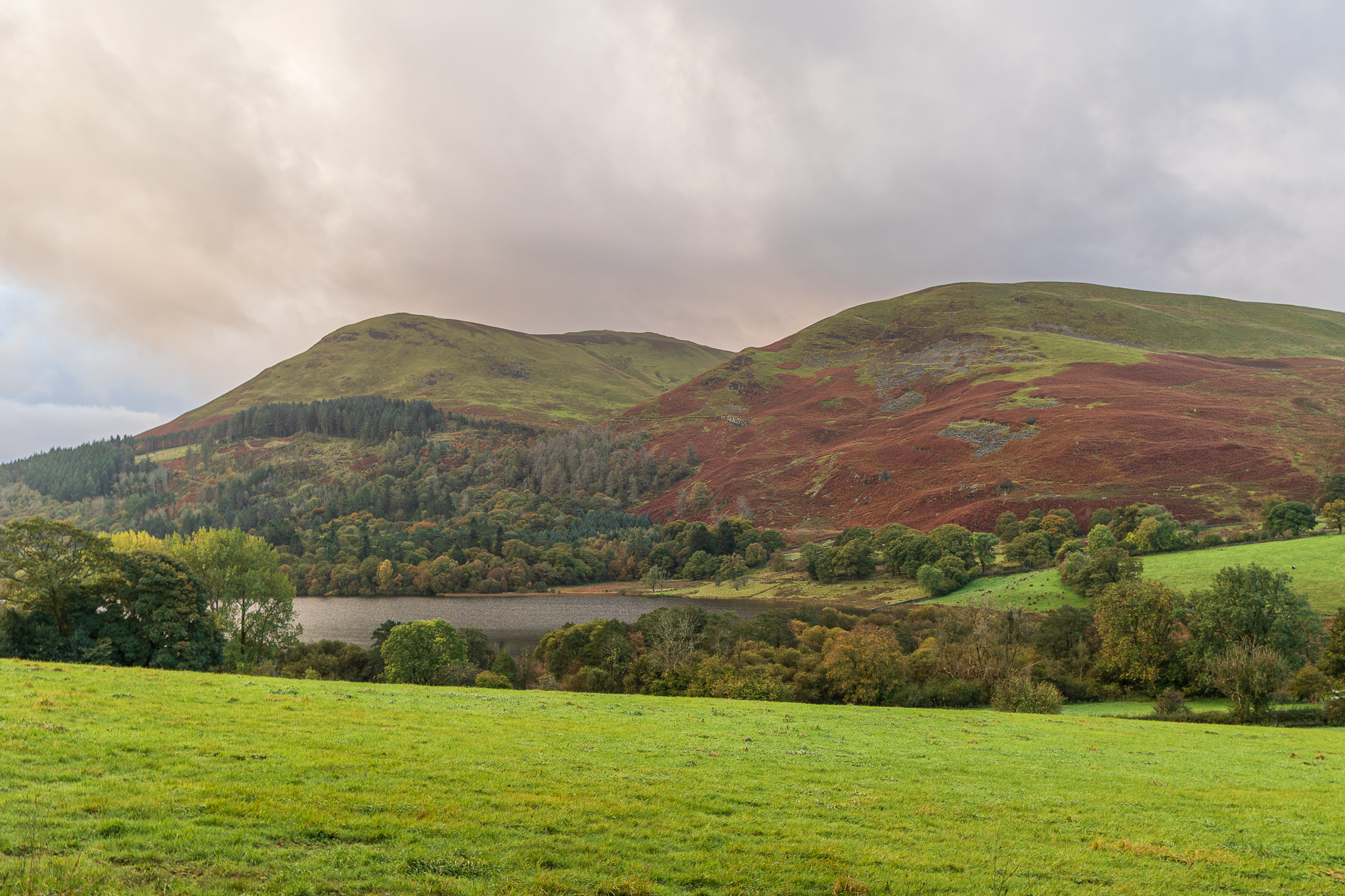
First light and the first view climbing the lane to Askill looking across Loweswater to Burnbank Fell and Blake Fell. It is certainly starting to look (and feel) autumnal now. 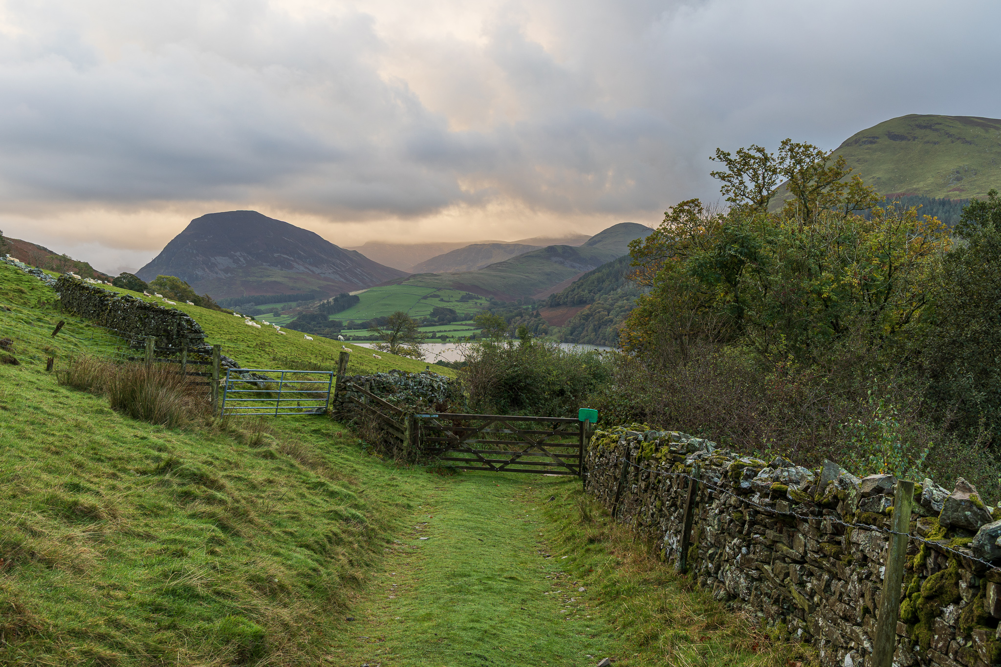
Passing Askill, the lane turns into a track which leads directly to the Mosser Road, Mellbreak in view now looking back. 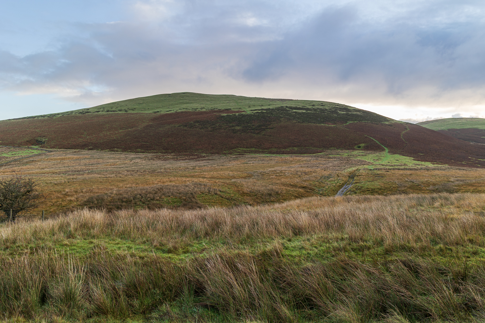
Walking along the Mosser Road, farming life was in full swing with the farmer feeding cattle in the field to the left and lots of lowing going on. This is Fellbarrow with the track we will follow clearly visible as the green ribbon through the now dying bracken, arcing to the left. 
Mellbreak through the gap between Low fell and Darling Fell, taken from the climb to Fellbarrow. 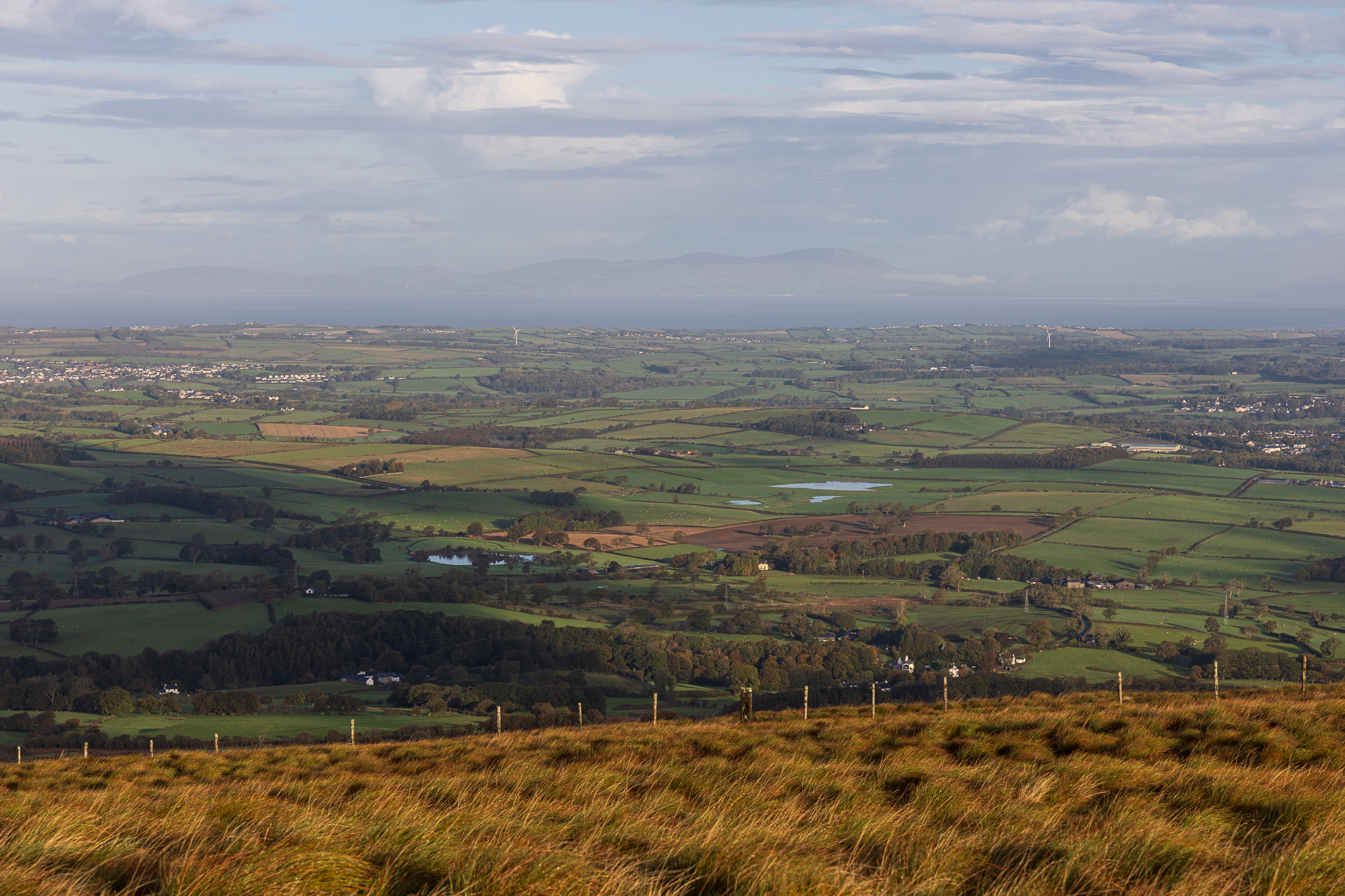
The Solway Firth and Criffel over the water from the grassy climb to Fellbarrow. This view tells us we are at the very north western edge of the Lake District. 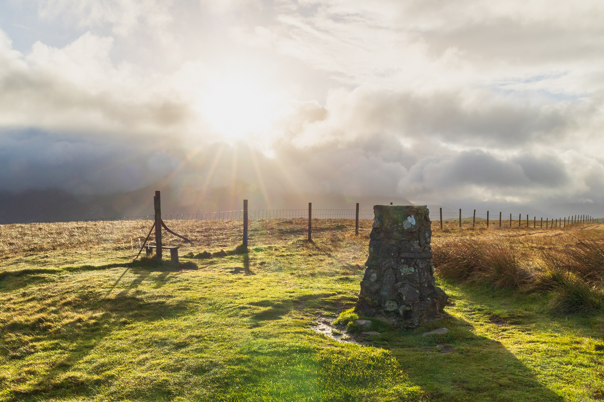
Dramatic sky as we reach the top of Fellbarrow. 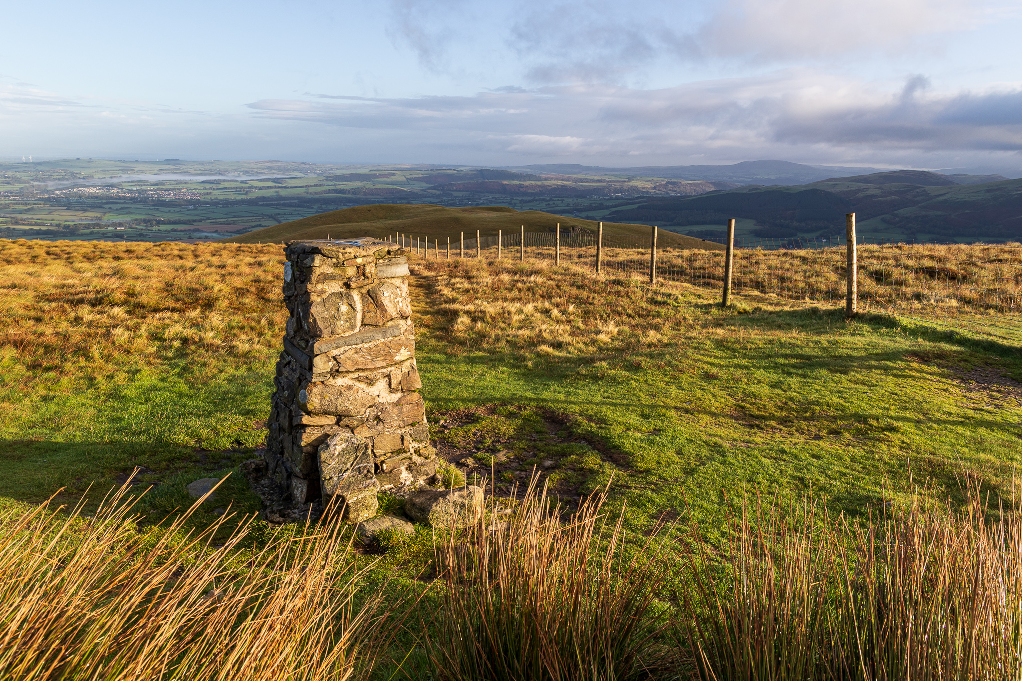
Fellbarrow looking north. In the middle distance is Hatteringill Head on Whin Fell (a Birkett top). I did head off towards it and planned it as an out and back, just to visit the top again. However, I didn’t need to go far to spot the cows on it so decided to give it a miss as Finlay (aka the cow magnet!) was with me. 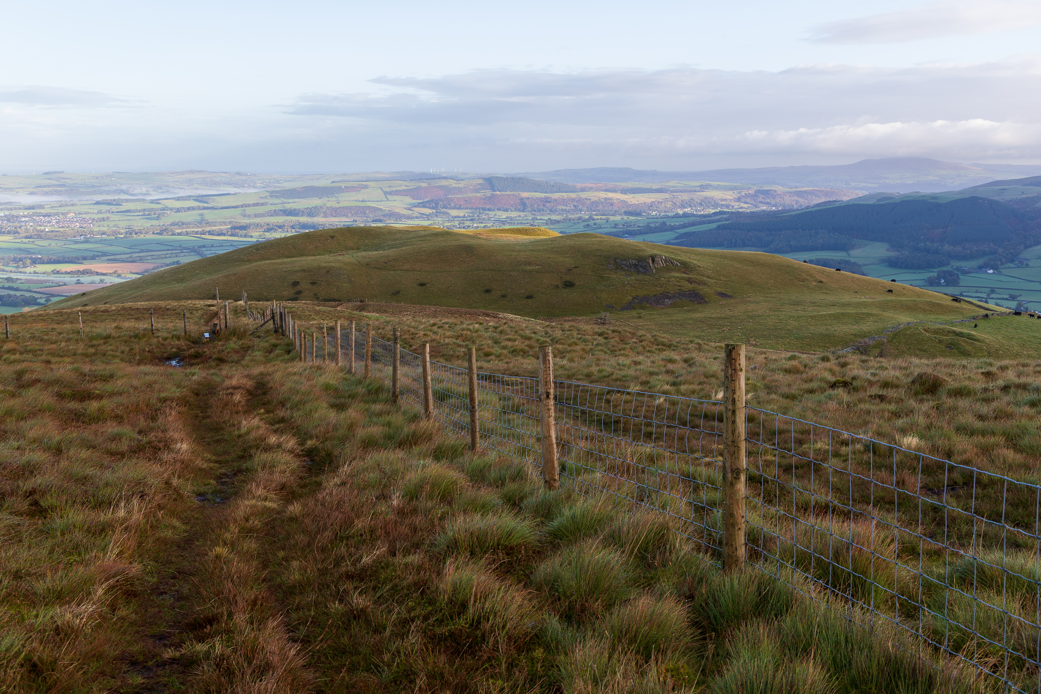
Hatteringill Head from Fellbarrow. 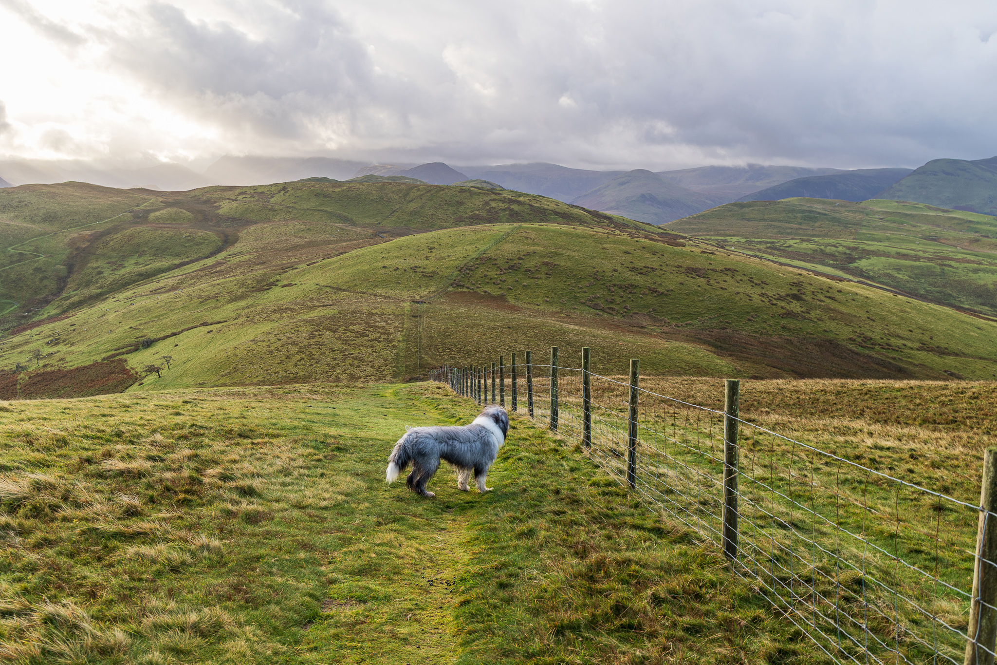
I set off on the right side of the fence, which turned out to be the wrong side! What I hadn’t realised is that there were cows on Fellbarrow too on the southern side so we quickly jumped over to get to safety. This is the descent of Fellbarrow before the climb to Smithy Fell, centre. 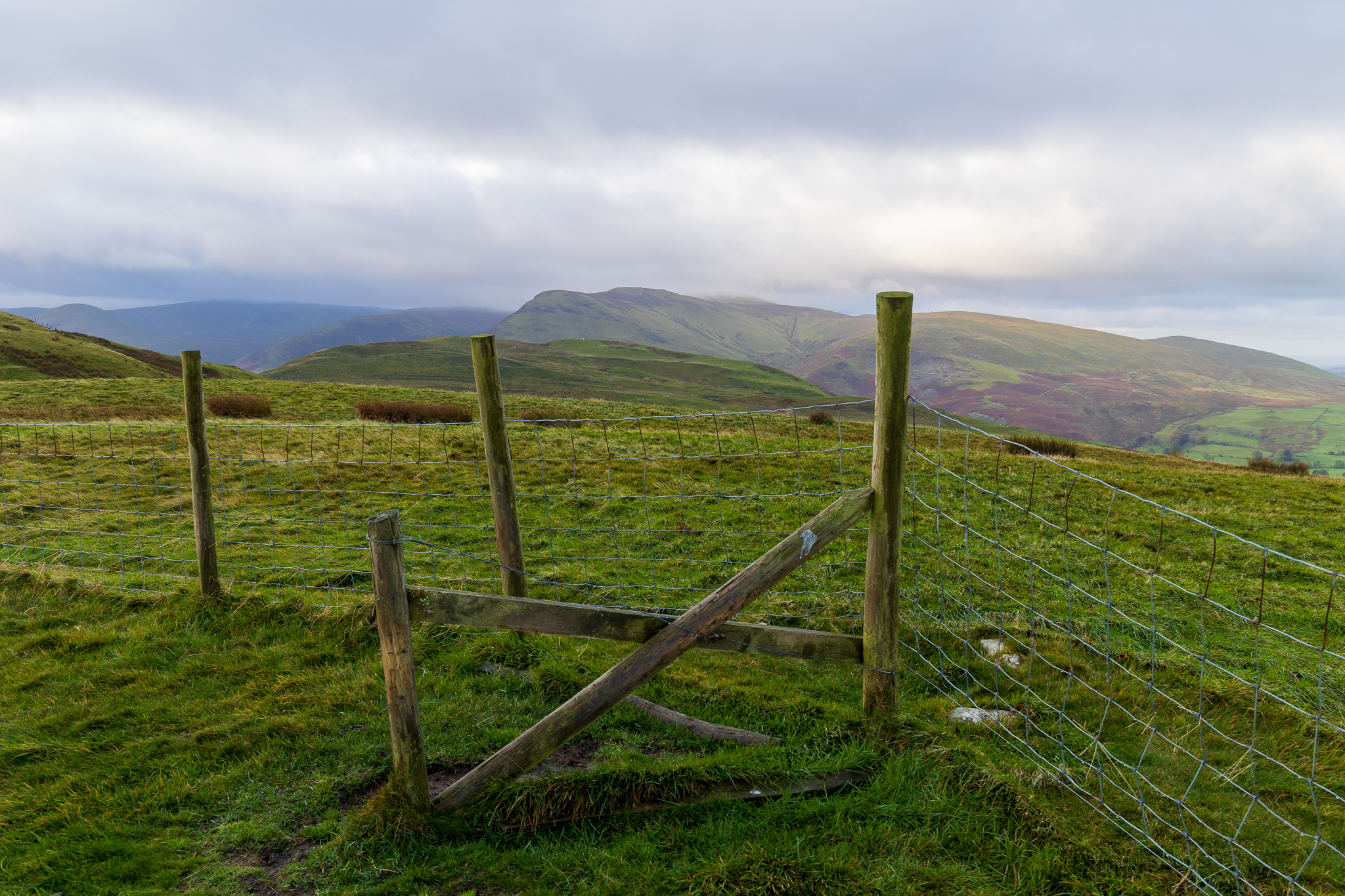
Smithy Fell. 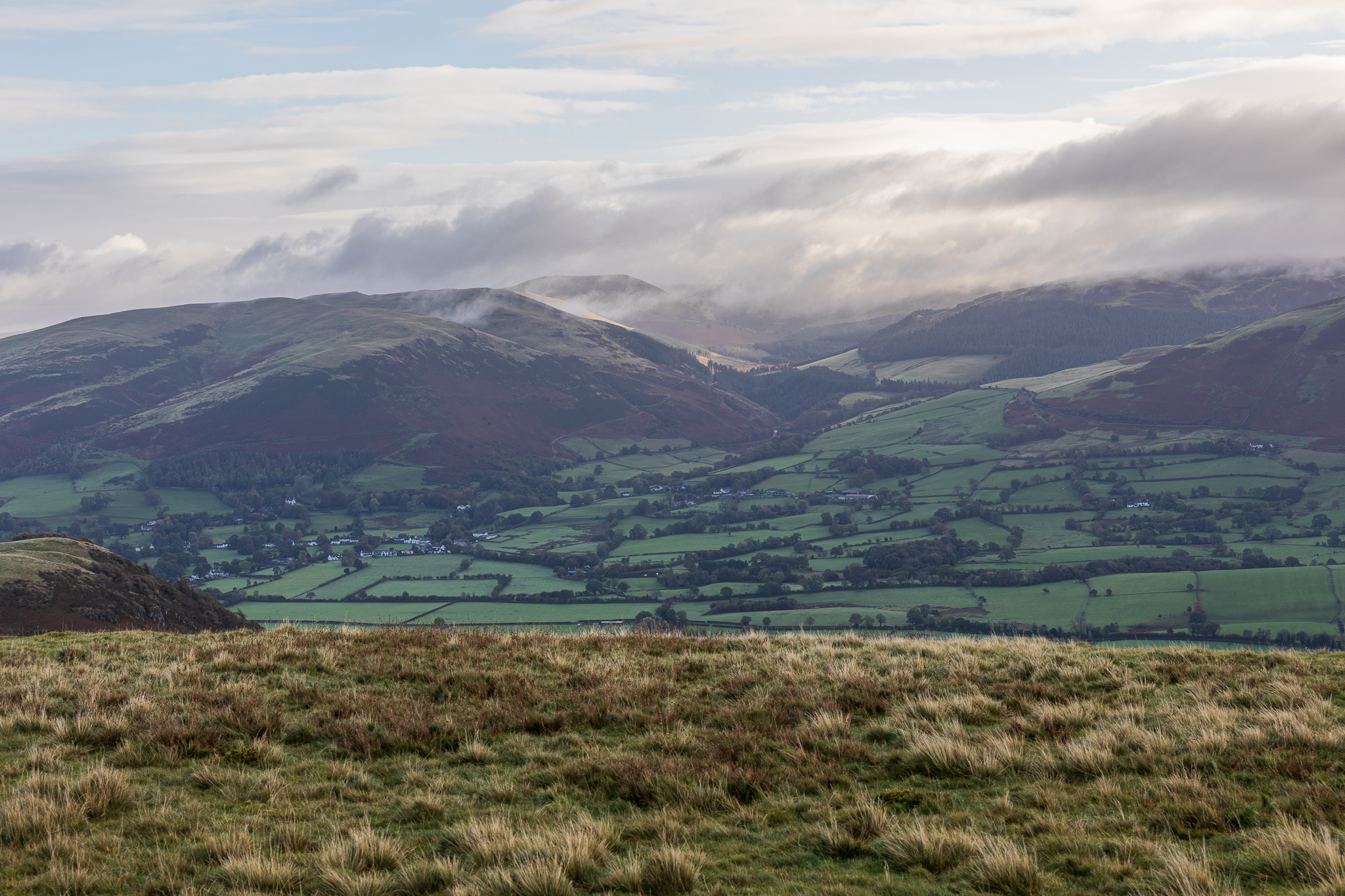
Lorton Vale and the Whinlatter fells. 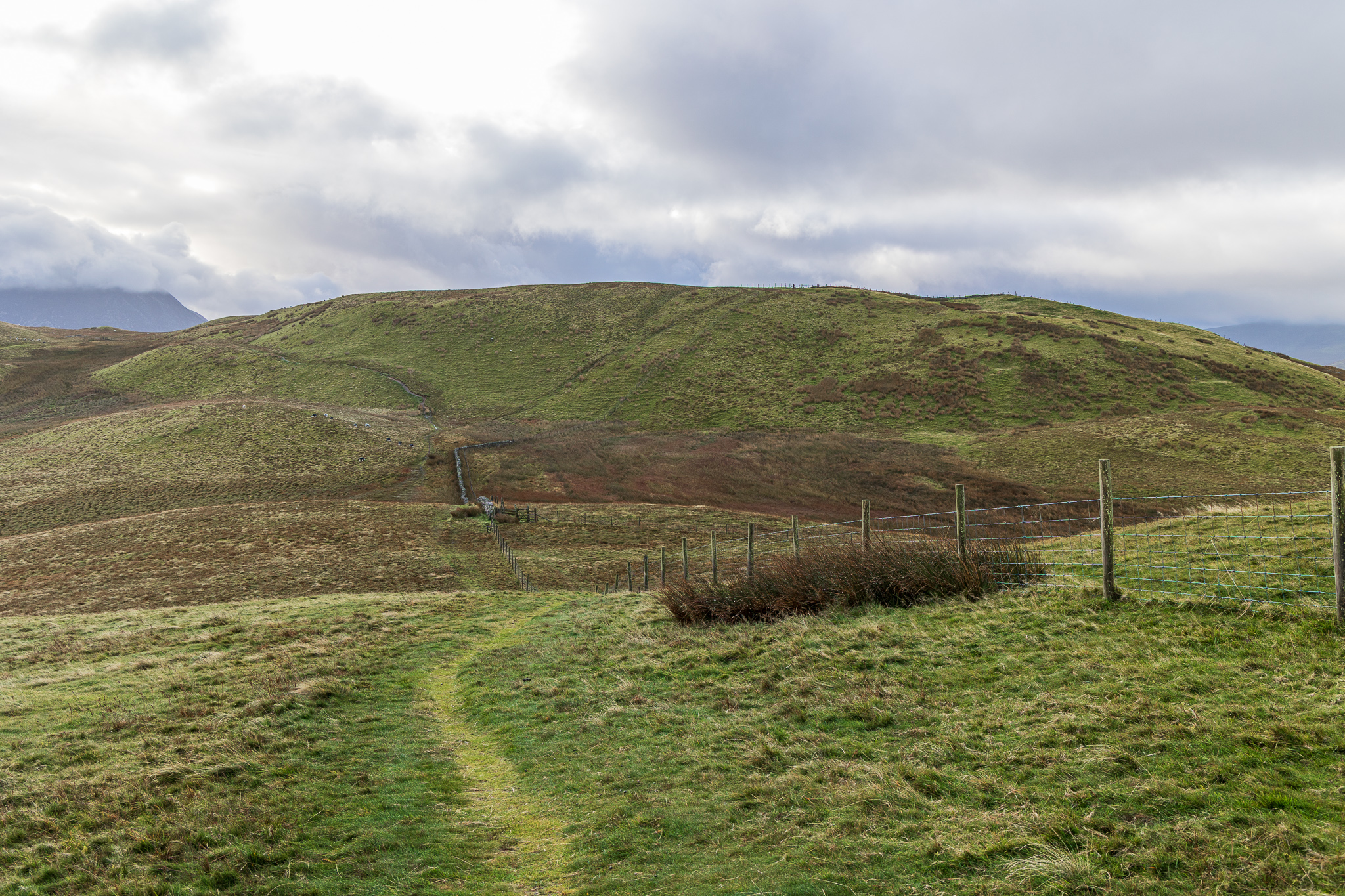
Following the fence, the bottom of the dip was very boggy, then up to the right still following the fence to Sourfoot fell. 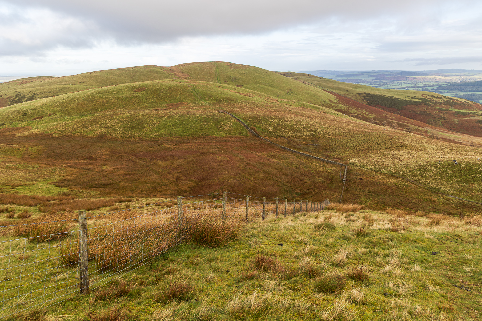
Looking back the steep pull up to Sourfoot Fell. 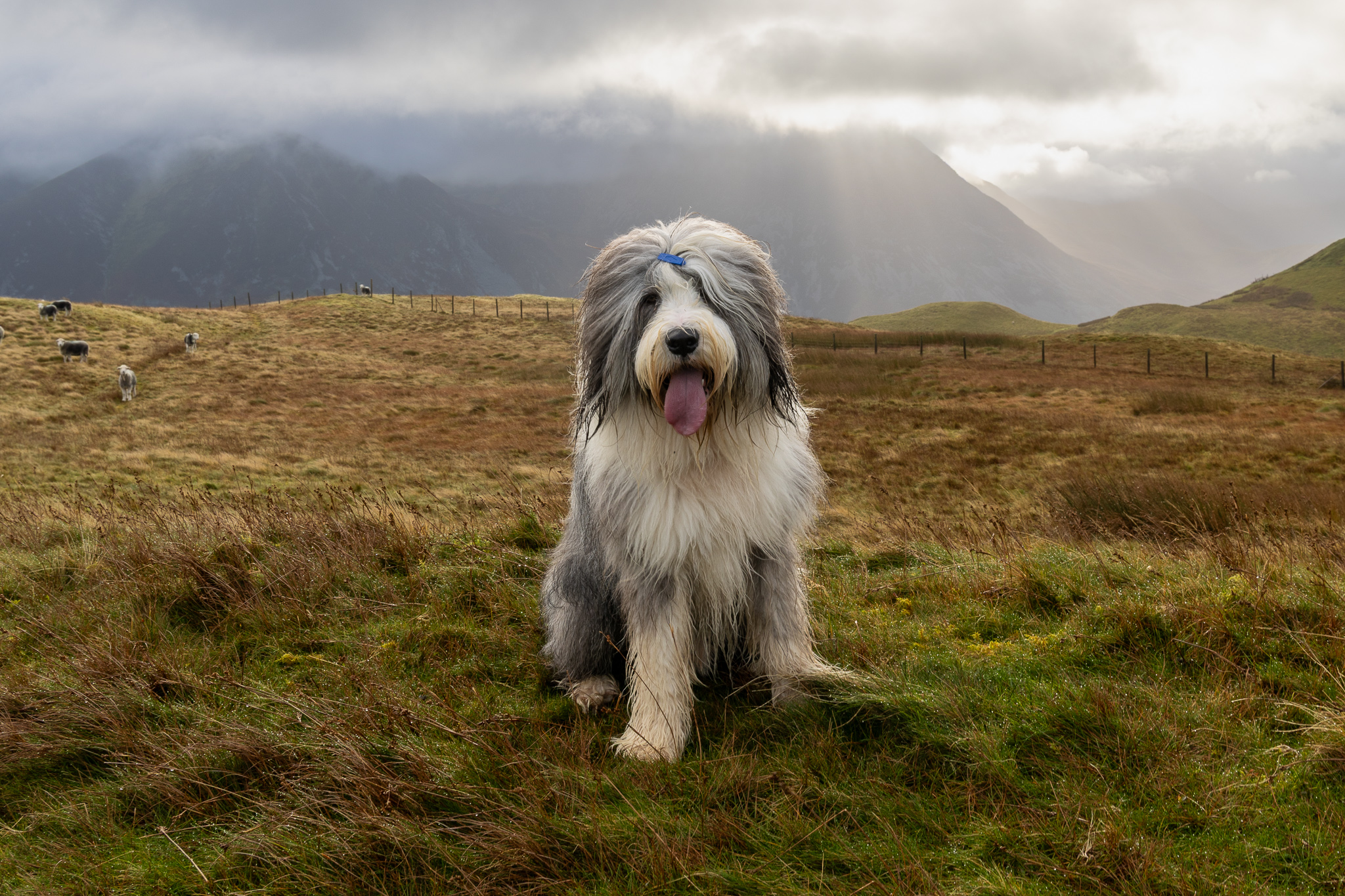
In the absence of a cairn or marker, Finlay makes a great stand-in on Sourfoot Fell. 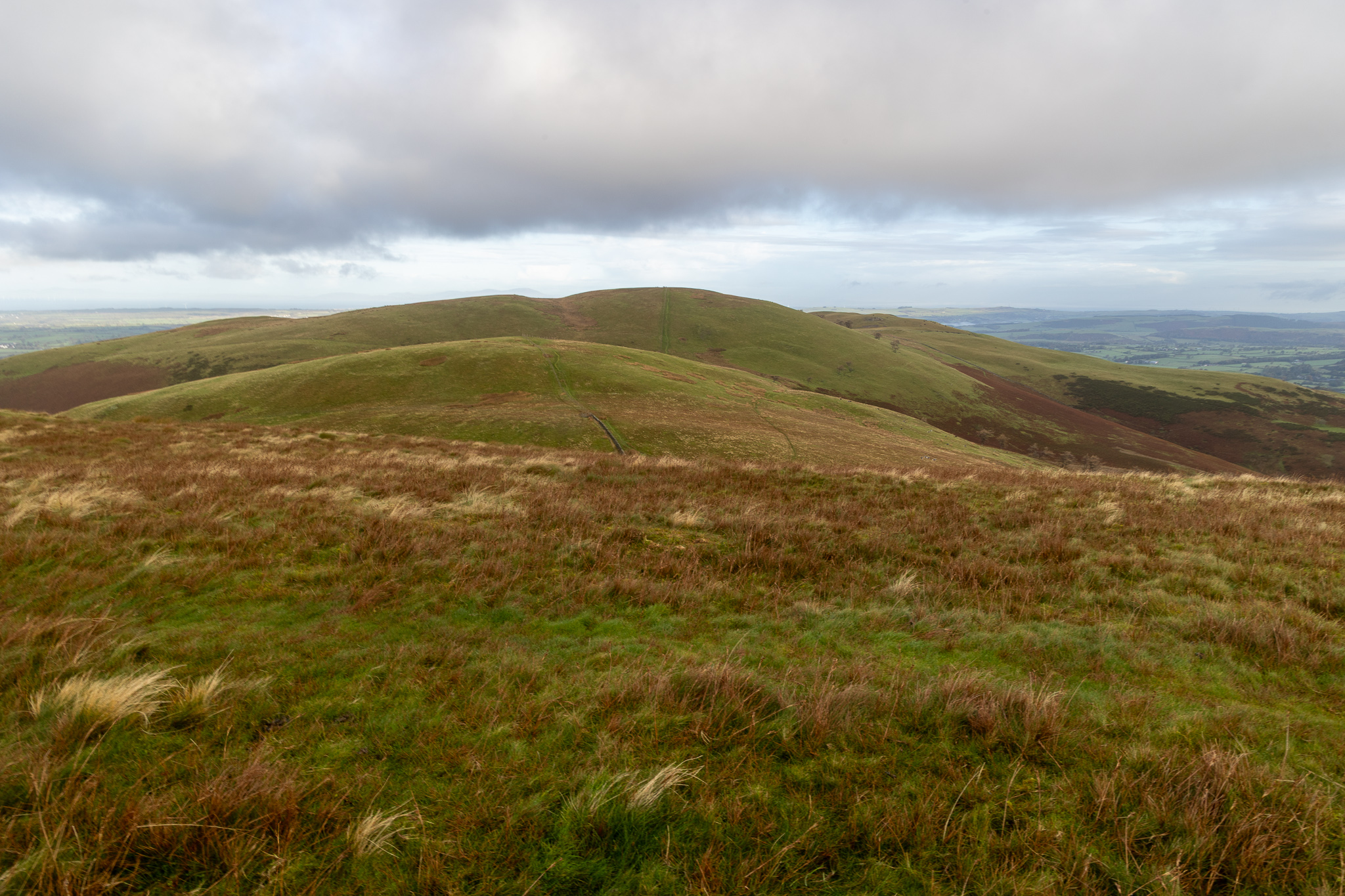
The view from Sourfoot Fell back towards Smithy Fell and Fellbarrow. 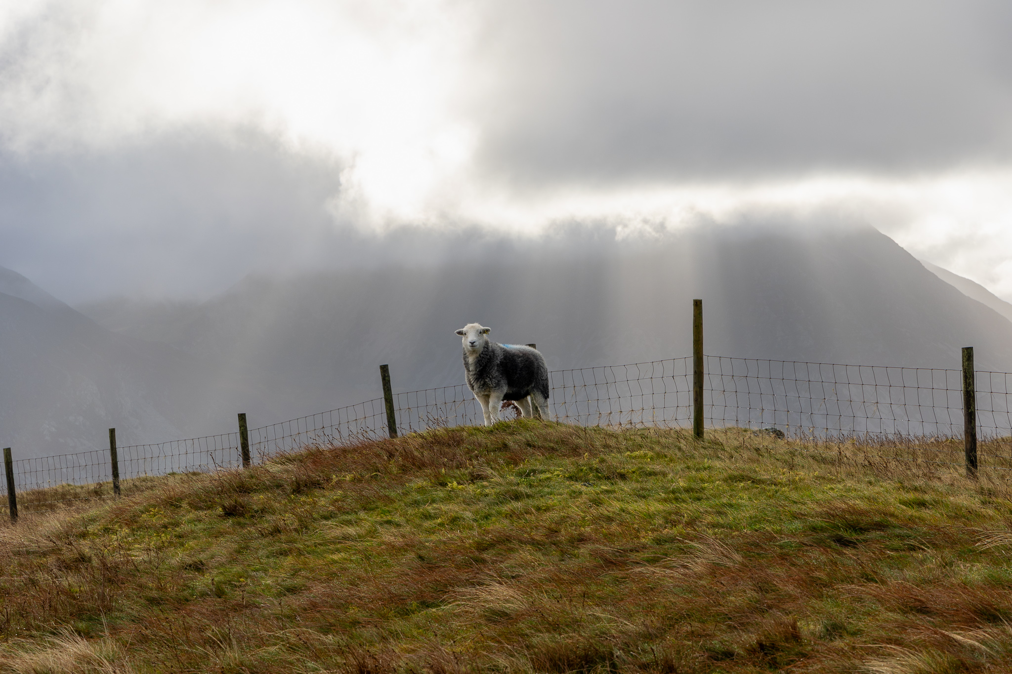
Herdwick and Grasmoor. Grasmoor and the higher fells were covered in cloud all morning. 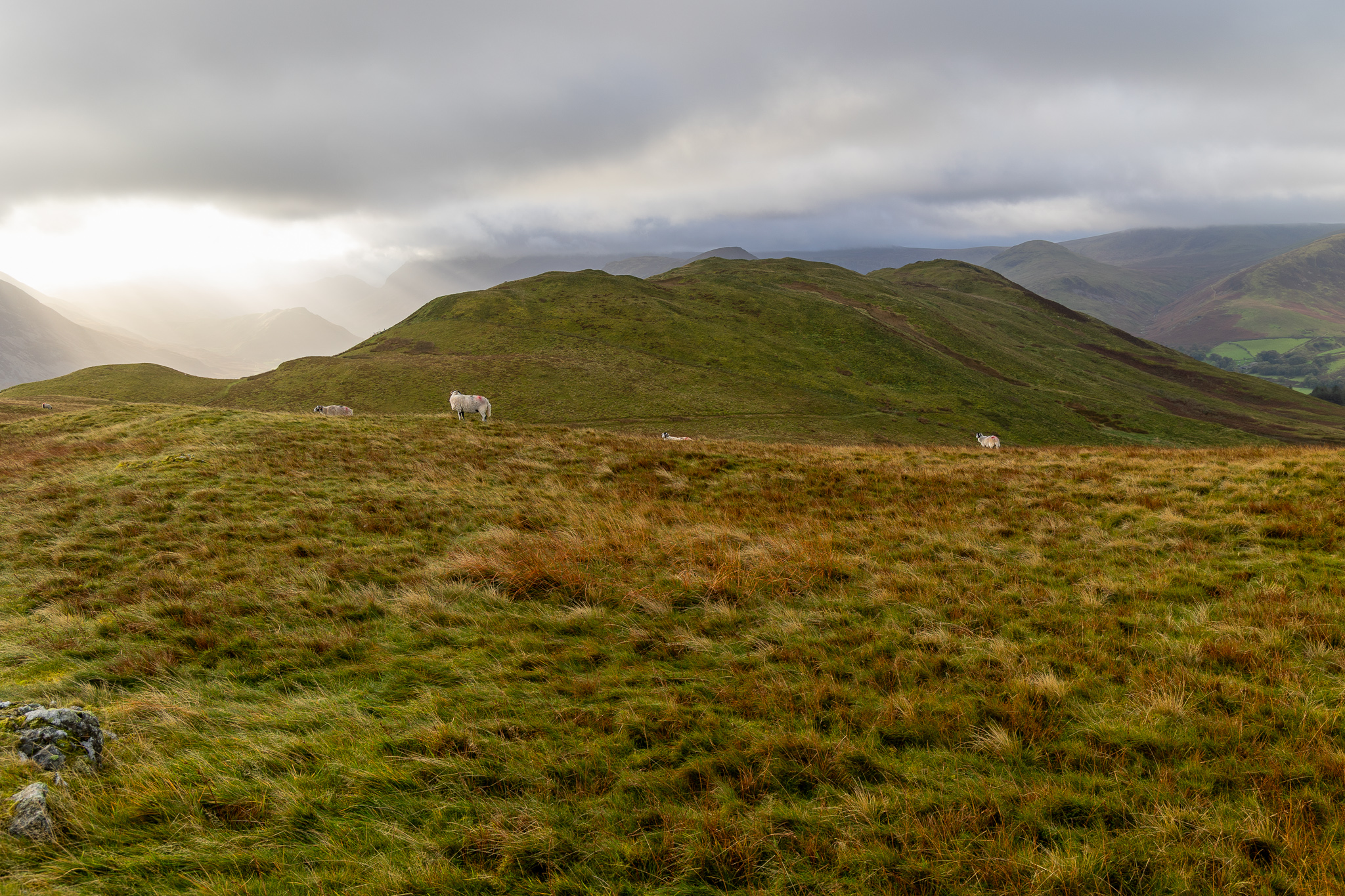
Low Fell and a burst of sunshine over the Buttermere Valley. 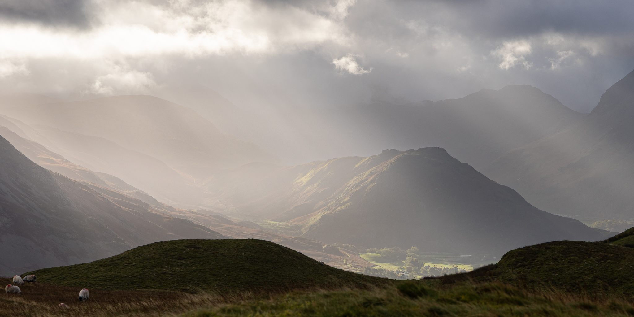
Light on Rannerdale. 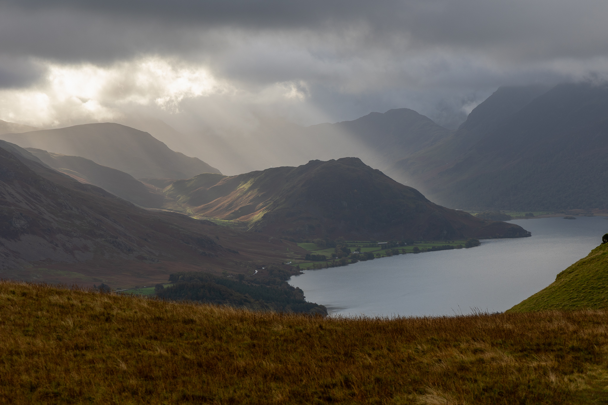
Interesting light, shining through over Rannerdale, it was constantly shifting and look at the heavy clouds beyond. 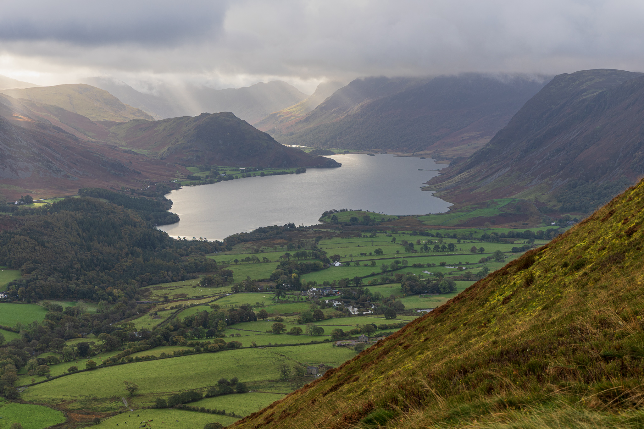
Crummock Water. 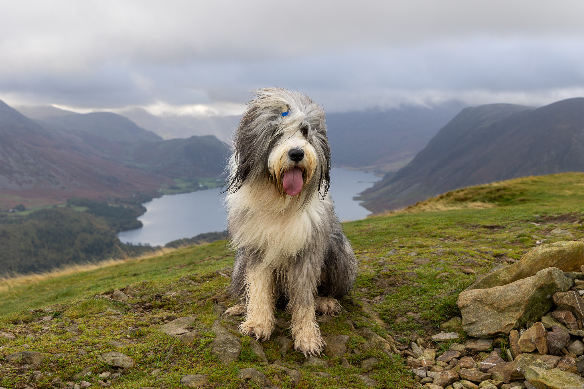
Finlay on Low Fell, that’s two more Wainwright’s today and 68/214 in total. 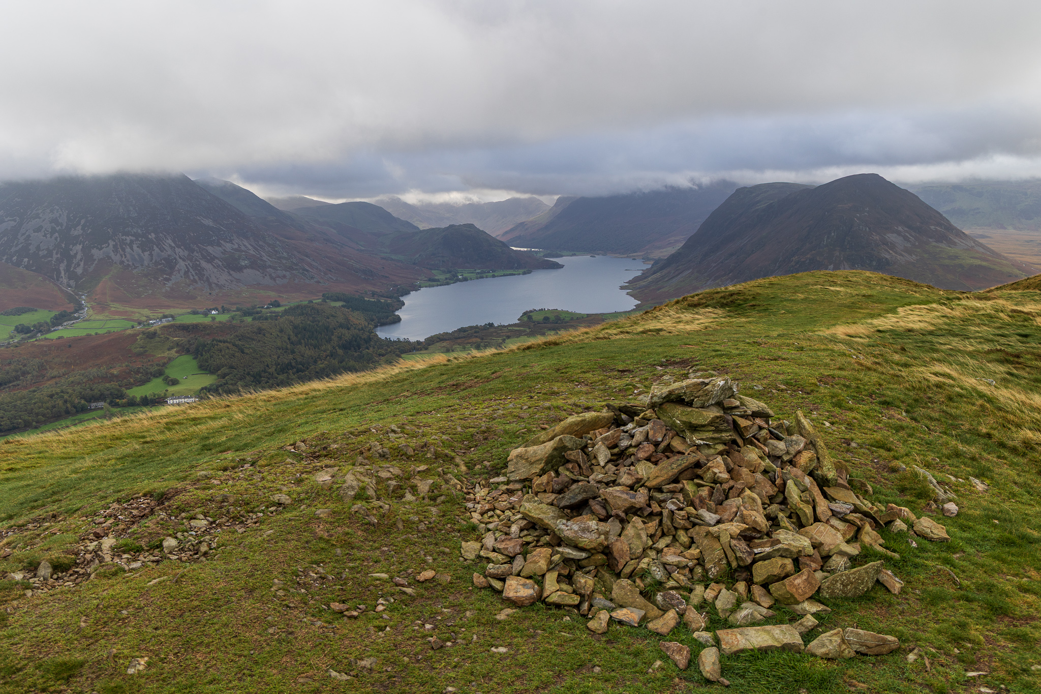
Low Fell north top. This is the higher of the two prominences on Low Fell but the one Wainwright counted as the summit is the south top. Birkett calls this one Low Fell and the south top Loweswater Fell. At least that’s all clear and not at all confusing! 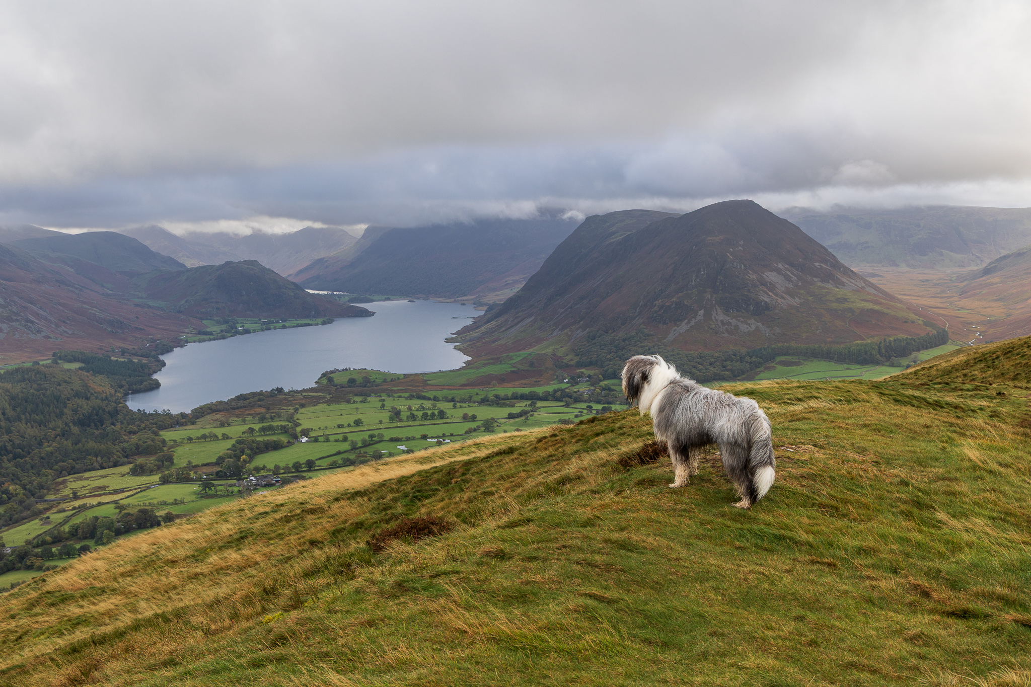
Finlay surveying his kingdom. 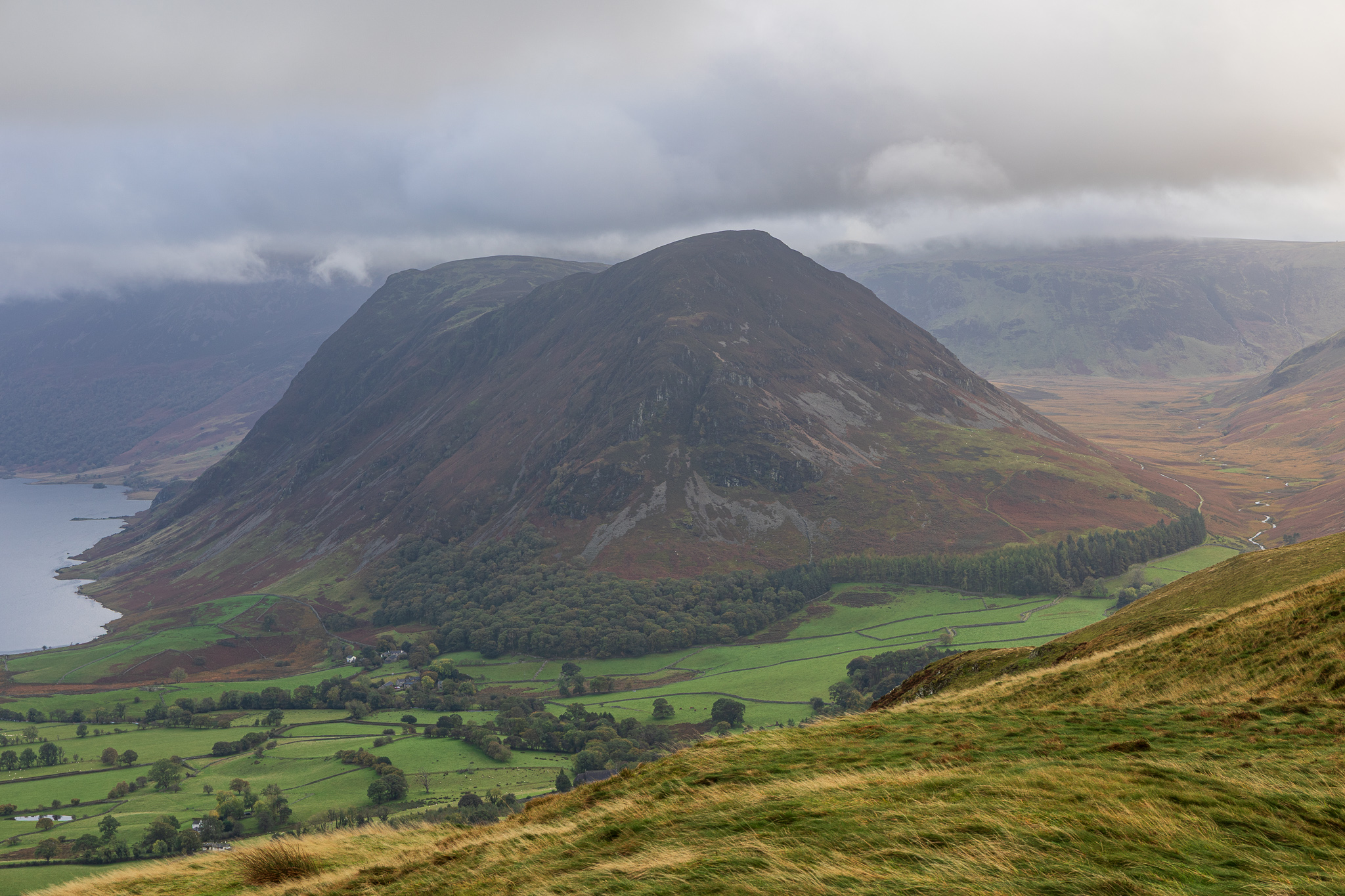
Mellbreak. 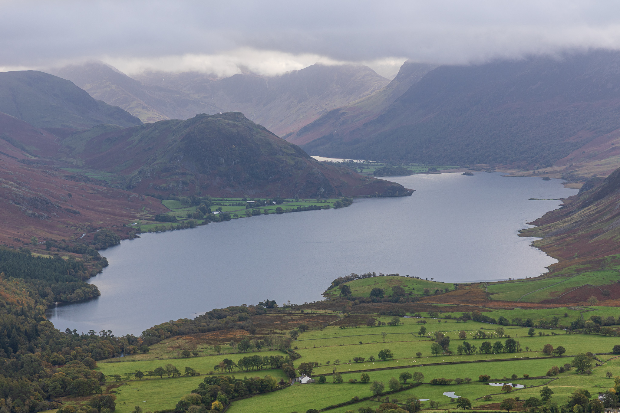
Crummock Water and a glimpse of Buttermere. 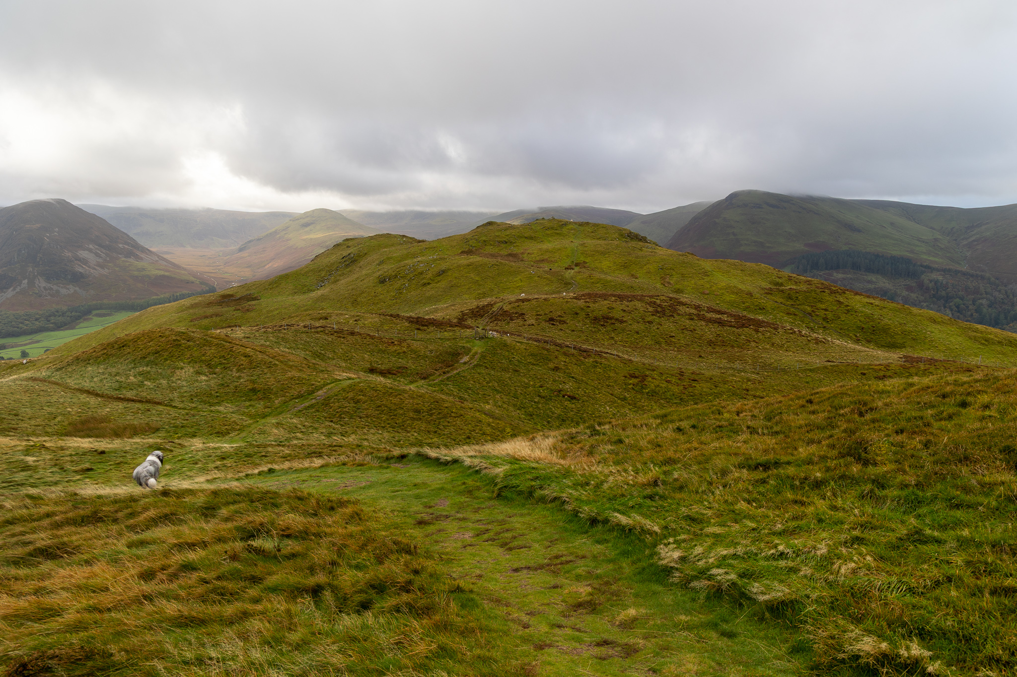
Heading for the south top of Low Fell. 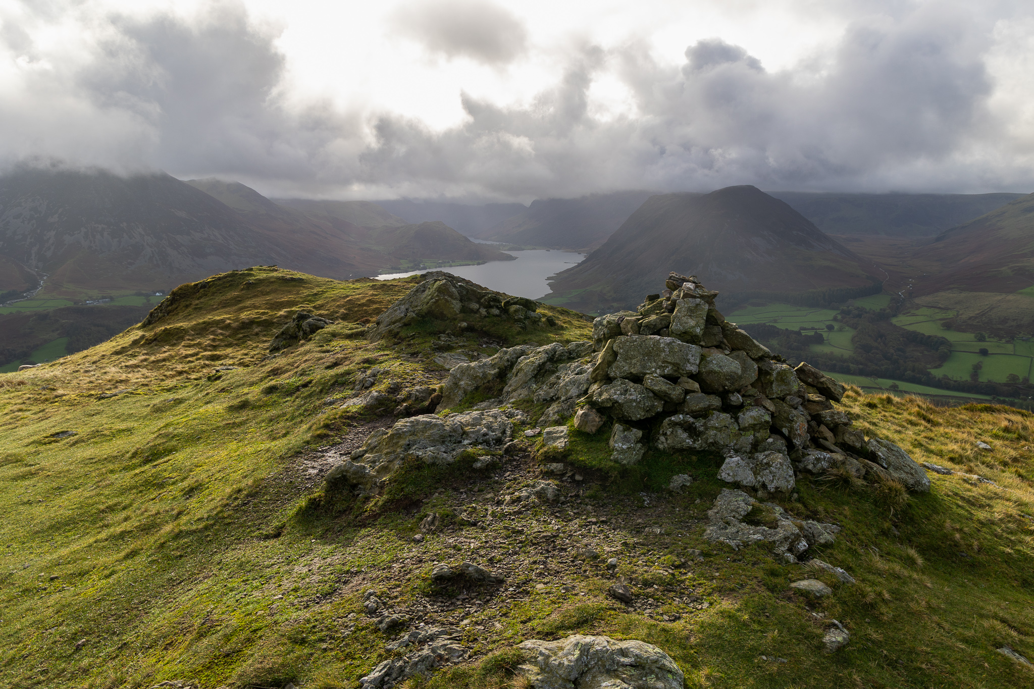
Low Fell (or Loweswater Fell, depending who’s book you are reading!). 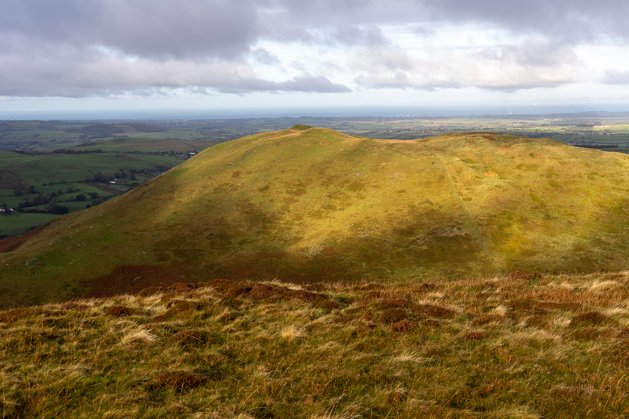
Sunshine on Carling Knott, our final top of the day. 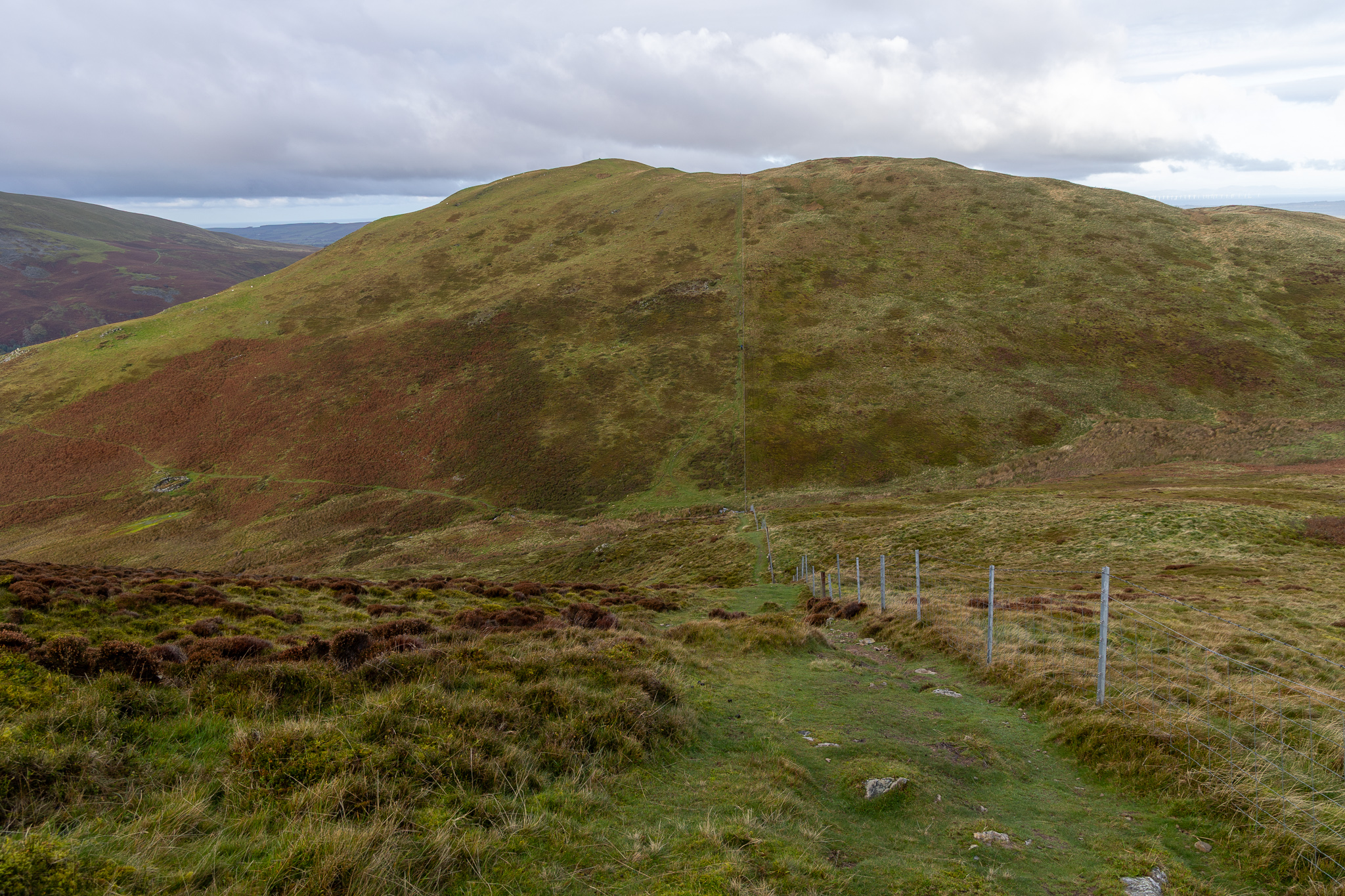
The descent to Crabtree Beck and then the steep pull to Carling Knott. Crossing Crabtree Beck by shimmying across the wooden bar at the bottom of the fence, I (annoyingly!) managed to snag my jacket sleeve on the barbed wire so there is a small tear in it now (and a small tear in my eye!). 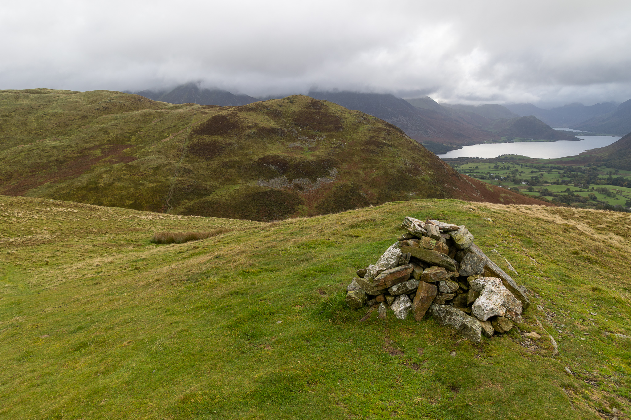
The cairn on the end of the Darling Fell ridge looking to Low Fell. 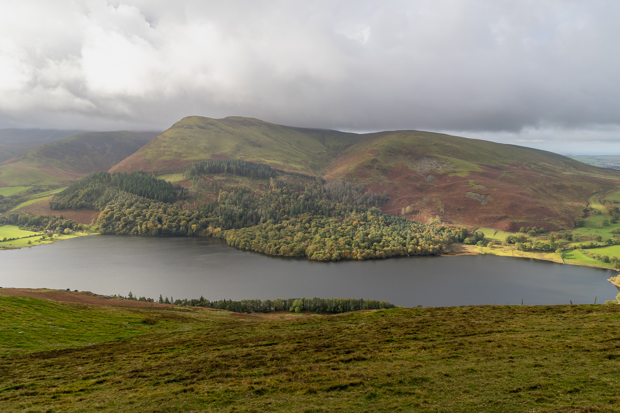
The view across Loweswater from the highest point of Darling Fell. 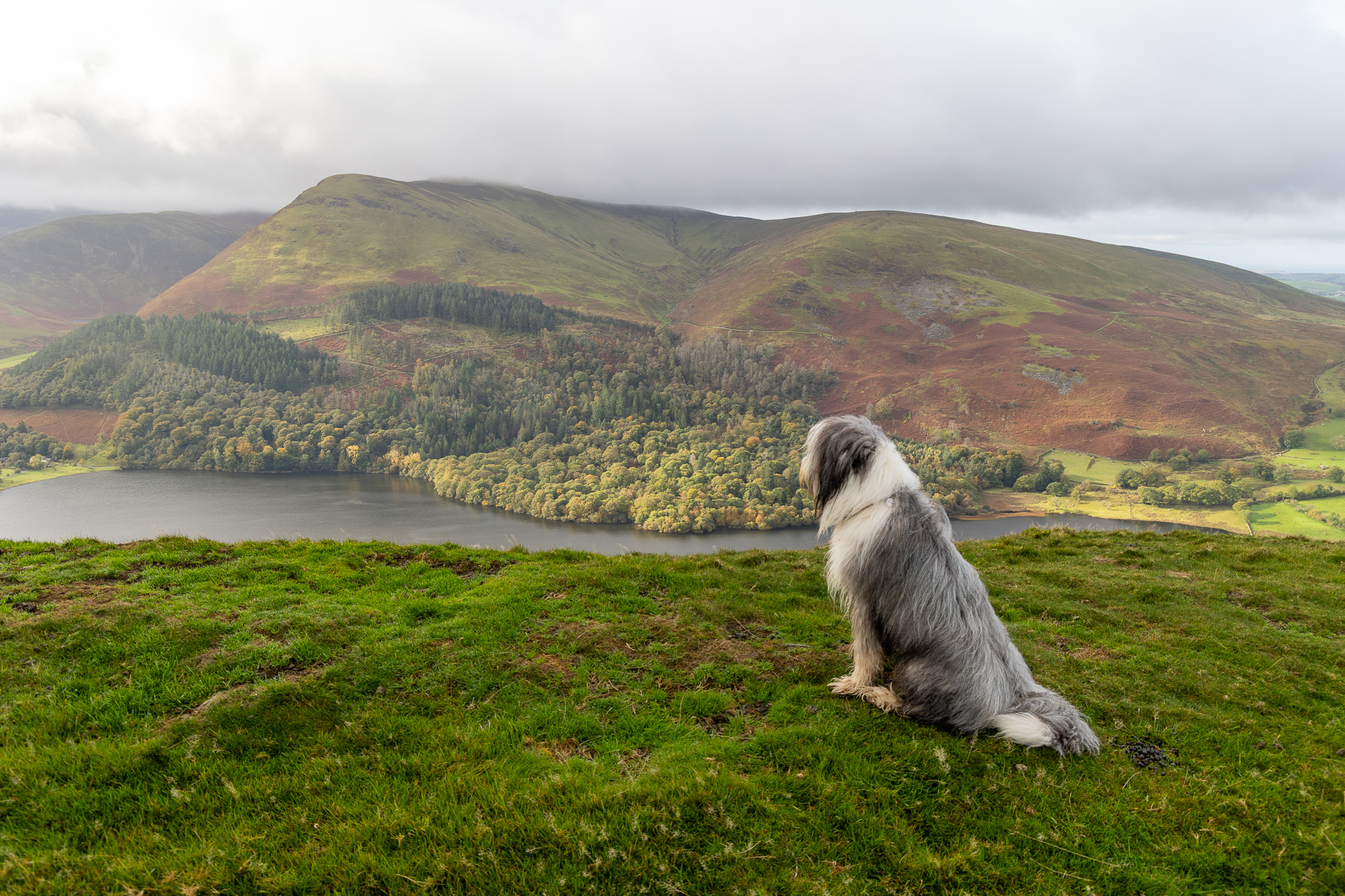
Sheep spotting. 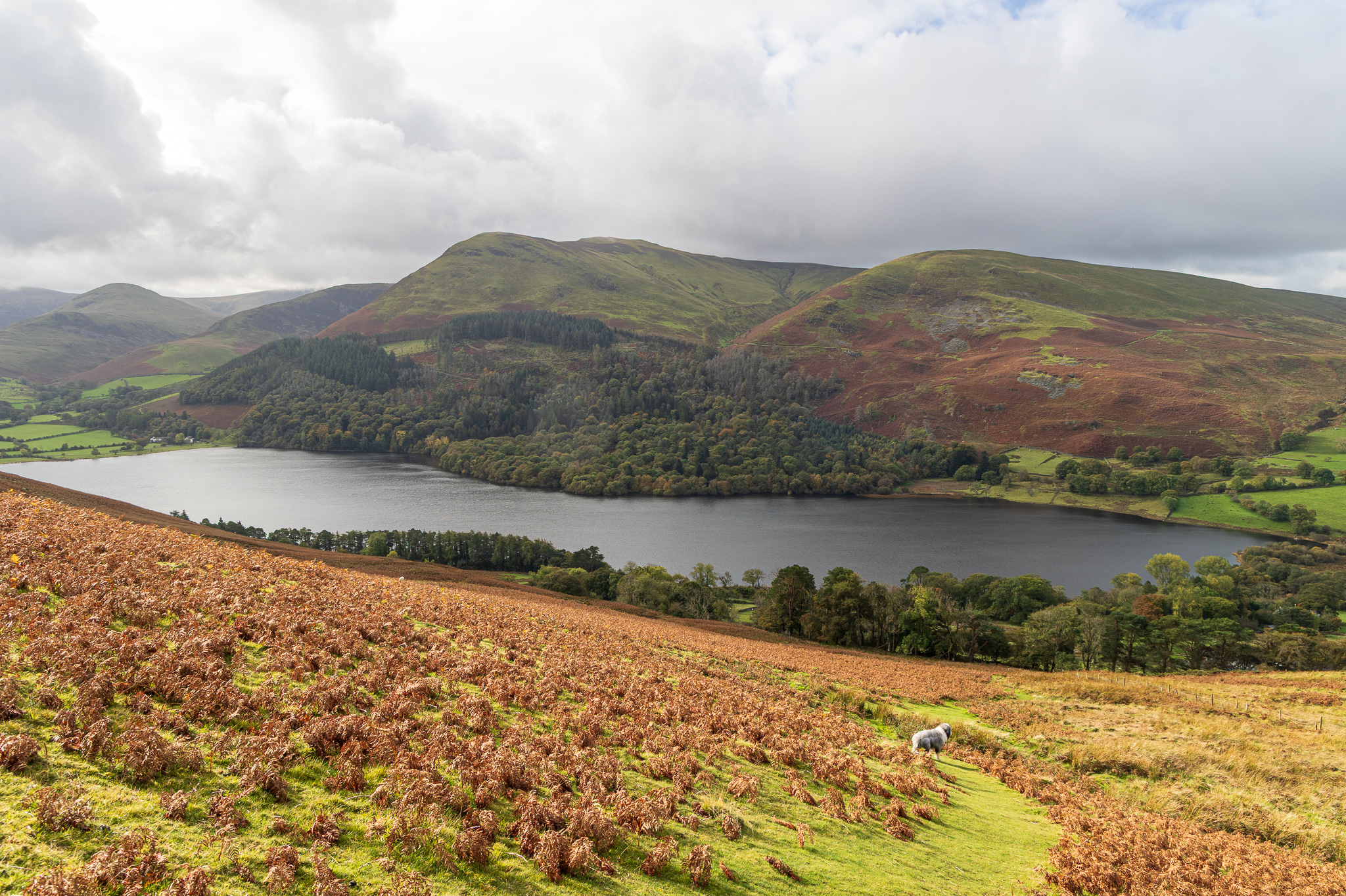
A final view of Loweswater from the steep descent back to the Mosser Road. From there I opted to return via Mosser Road and Askill track rather than along the main road. Ankle? A-okay!