Height: 806 metres / 2644 feet Grid reference: NY 16748 14783 Category: The Western Fells
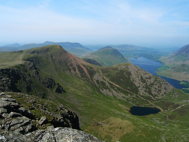
High Stile gives its name to the group of fells to the west of Buttermere (The High Stile group). There is a separate subsidiary summit, Grey Crag – which oddly enough is 1 metre higher than the main summit!
![High Stile summit](https://www.stridingedge.net/wp-content/uploads/2014/12/28.06.11-093.jpg)
High Stile summit
![High Crag and High Stile reflected in Buttermere](https://www.stridingedge.net/wp-content/uploads/2014/12/31.03.08-003.jpg)
High Crag and High Stile reflected in Buttermere
![High Stile across Ennerdale from Pillar.](https://www.stridingedge.net/wp-content/uploads/2014/12/22_08_07-067.jpg)
High Stile across Ennerdale from Pillar.
![High Stile from High Crag](https://www.stridingedge.net/wp-content/uploads/2014/12/07.06.06-098.jpg)
High Stile from High Crag
![High Stile summit.](https://www.stridingedge.net/wp-content/uploads/2014/12/35-High-Stile.jpg)
High Stile summit.
![Looking from High Stile across Bleaberry Tarn and Red Pike to Mellbreak and Crummock Water. Loweswater is visible in the distance.](https://www.stridingedge.net/wp-content/uploads/2014/12/Ennerdale-Circuit-panorama3.jpg)
Looking from High Stile across Bleaberry Tarn and Red Pike to Mellbreak and Crummock Water. Loweswater is visible in the distance.
![A panoramic view from High Stile - Red Pike and Dodd to the left, Crummock Water and Grasmoor to the right](https://www.stridingedge.net/wp-content/uploads/2014/12/28.06.11-100_stitch.jpg)
A panoramic view from High Stile – Red Pike and Dodd to the left, Crummock Water and Grasmoor to the right
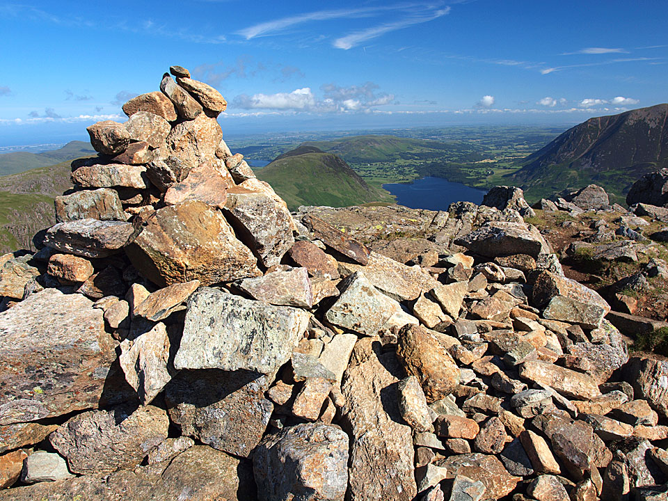
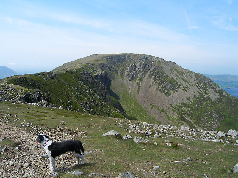
Grey Crag on High Stile
Height 807 metres/2648 feet Grid Reference NY 17010 14813
![The aptly named Red Pike and Dodd above Bleaberry Tarn - taken from Grey Crag.](https://www.stridingedge.net/wp-content/uploads/2014/12/07_06_06-107.jpg)
The aptly named Red Pike and Dodd above Bleaberry Tarn – taken from Grey Crag.