Striding Edge

A photo diary of Lake District fell walks

  • Walks
  • Fells
    • Wainwrights
      • Eastern Fells
      • Far Eastern Fells
      • Central Fells
      • Southern Fells
      • Northern Fells
      • North Western Fells
      • Western Fells
      • Outlying Fells
    • Birketts
  • Dogs
  • Love The Lakes
  • Contact

Fellbarrow

Height: 416 metres / 1365 feet Grid reference: NY 13219 24245 Category: The Western Fells
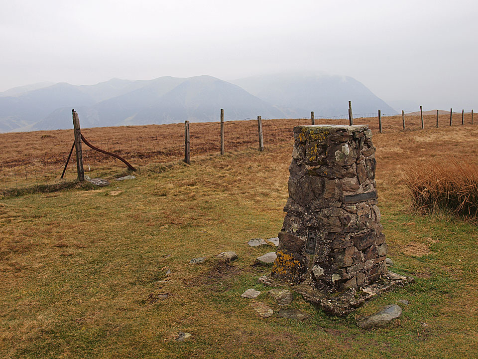
The summit of Fellbarrow
The summit of Fellbarrow

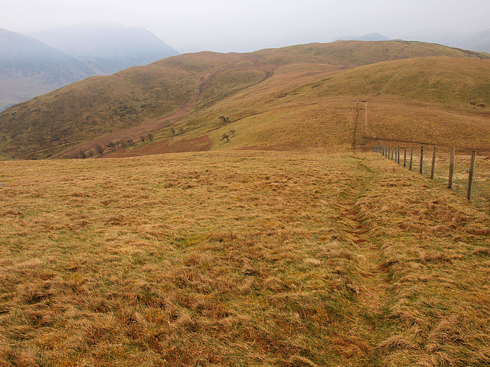
Looking back from the climb to Fellbarrow

Looking back from the climb to Fellbarrow

Fellbarrow

Walked on 29/03/2011

Start point: Loweswater (NY 128 217)

Loweswater – Darling Fell – Loweswater Fell – Low Fell – Sourfoot Fell – Smithy Fell – Fellbarrow – Askill Knott – Loweswater

Distance: 5 miles     Total Ascent: 526 metres     Time Taken: 2 hours 15 minutes     Start Time: 10:10

Weather: Grey and showery. 7°C

It was a grey old morning and I ended up not doing the walk I expected to but a shorter – and lower – one around the Fellbarrow group of fells. The rain came not long after the start of the walk but at least it dried up before the end. It always seems to be damp when I come this way so I must try and get here on a good day!

Fellbarrow

Fellbarrow route map.

29.03.11-006

Carling Knott.

29.03.11-007

Hen Comb across Loweswater.

29.03.11-008

Burnbank Fell.

29.03.11-009s

Loweswater panoramic.

29.03.11-013

Loweswater from the Mosser Road.

29.03.11-018

Looking northwards across the Solway Firth it seems brighter with Criffel standing proud.

29.03.11-022

A rest on Darling Fell after the steep climb, beyond is Low Fell Whiteside and Grasmoor.

29.03.11-028

Before reaching Low Fell there is a steep descent to Crabtree Beck then a re-ascent. The rain was coming in heavily now and I had to stop on the climb to put my waterproofs on.

29.03.11-031

Mellbreak and Crummock Water from Low Fell (this south top is the Wainwright summit, Birkett calls this Loweswater Fell).

29.03.11-033

Heading for the north top of Low Fell.

29.03.11-034

The view from the north top in the pouring rain (Birkett - 'Low Fell').

29.03.11-038

Lorton Vale from Watching Crag.

29.03.11-039

Whiteside and Grasmoor.

29.03.11-041

The uninspiring top (and cairn!) on Sourfoot Fell looking to Smithy Fell and Fellbarrow beyond.

29.03.11-045

Damp Dougal-Doo!

29.03.11-052

Getting a 'hurry up' look on Smithy Fell, Fellbarrow ahead.

29.03.11-063

Casperoo.

29.03.11-065

Looking back from the climb to Fellbarrow.

29.03.11-067

The summit of Fellbarrow.

29.03.11-092s

Loweswater from Askill Knott.

29.03.11-099

A touching sentiment, hidden on a fence on the return.

The Loweswater Fells

Walked on 18/05/2009

There were two walks today, both in the pursuit of Casper bagging the last few of his remaining Wainwright fells. The first was a short and easy one up to Latrigg – I guess I am guilty of always bypassing this one for the lure of the higher fells. The second walk took in the fells around Loweswater. This area is probably the longest drive for me to get to from home, so I guess that is why they get neglected…

Walk 2

Start point: Loweswater (NY 143 211)

Loweswater – Foulsyke – Thackthwaite – Fellbarrow – Low Fell – Loweswater – Mosedale – Hen Comb – Loweswater

Distance: 11.2 miles     Total Ascent: 909 metres     Time Taken: 5 hours

Weather: Rain. 13C.
 

Loweswater

Loweswater route map.

18.05.09-013

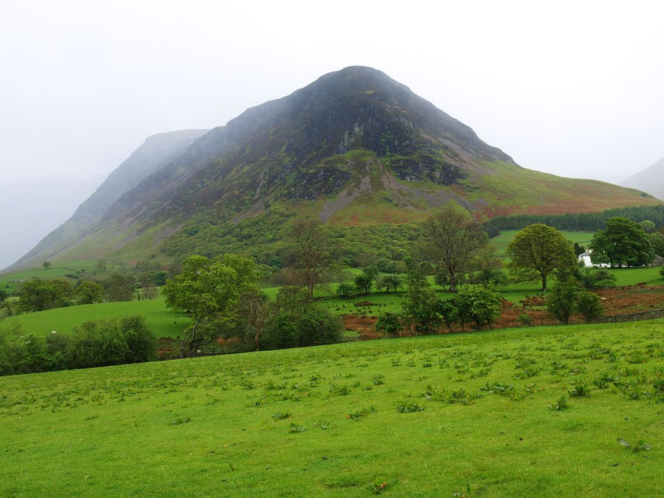
Loweswater Fell through the rain from the field crossing to Foulsyke.

18.05.09-026

Whiteside and Grasmoor.

18.05.09-027

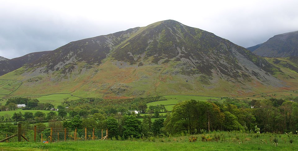
Looking back to Mellbreak. These are all 'smash and grab' photos taken in short interludes in the rain.
18.05.09-030

That was about it for photos for a while. The heavens really opened as I climbed to Fellbarrow from Thackthwaite, then on the final climb to Fellbarrow the wind whipped up and the rain began to fall in monsoon like conditions!
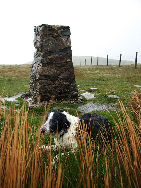
18.05.09-033

A quick-snatch photo on Fellbarrow with a half-drowned Casper. We didn't hang around on here - come on, let's go! I think the walk between here and Low Fell was the wettest weather I have ever been in. It was like standing under the shower it was that bad, with the water absolutely pouring down my face and off my waterproofs. I thought I wouldn't see anyone today...until I bumped into a couple of hardy StridingEdge followers who managed to recognise us despite the damp conditions.
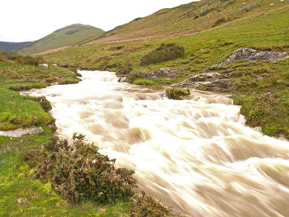
18.05.09-036

Crummock Water and Mellbreak from Low Fell, the rain has blown out for a little while now.

18.05.09-043

The steep descent down alongside the fence.

18.05.09-047

Crummock Water and Rannerdale Knotts.

18.05.09-051

Here it comes again - hang on to your hats!

18.05.09-053

Loweswater Fell from the bottom and there is even a hint of blue sky now.

18.05.09-056

Mellbreak with Hen Comb to the right, where we are off next.

18.05.09-058

Shapely Mellbreak.

18.05.09-066

Hmm, there was a problem here at the crossing of Mosedale Beck. There had been that much rain that the stepping stones were under all that water somewhere! There was only one thing for it if I was to get to Hen Comb today and that was walk to the bridge at the southern end of the valley.

18.05.09-069

Hen Comb and Mosedale Beck.

18.05.09-072

Sunshine on Gale Fell and Mosedale from the oh-so steep climb to Hen Comb.

18.05.09-080

Mellbreak in sun, Grasmoor beyond.

18.05.09-081

'I don't believe it!'. Loweswater is sunny now but the wind was fierce.

18.05.09-085

Great Borne from Hen Comb.

18.05.09-090

It was really windy on the summit of Hen Comb. If Casper had a bit more hair, he would have shown you just how much!

18.05.09-094

Buttermere view.

18.05.09-098

Mosedale from the descent (which had to be the same way due to the river crossing problem).

18.05.09-109

I think that look says it all Casper - just where did that blue sky come from?

Fellbarrow

Walked on 31/01/2005

Start point: Loweswater (NY 128 217)

Loweswater – Darling Fell (276) – Loweswater Fell (277) – Low Fell (278) – Sourfoot Fell (279) – Smithy Fell (280) – Fellbarrow (281) – Hatteringill Head on Whin Fell (282) – Loweswater

Weather: Overcast throughout the walk.

A visit to the north western fells above Loweswater today – not much luck with the weather though as the clag stubbornly clung to the fells all day despite their relatively low stature.

01 Fellbarrow

Fellbarrow route map.

02 Elevation

Elevation profile of the route. Key: DF=Darling Fell, LWF=Loweswater Fell, LF=Low Fell, SF=Sourfoot Fell, SMF=Smithy Fell, F=Fellbarrow, HH=Hatteringill Head on Whin Fell.

03 Fellbarrow 3D

3D image of the walk route.

Dsc04037

Loweswater from the ascent of Darling Fell. For completeness, summit shots without a view...

Dsc04043

Darling Fell.

Dsc04047

Low Fell.

Dsc04048

Sourfoot Fell.

Dsc04049

Smithy Fell. ....and the view on a clearer day...

Dsc04049a

Dsc04050

Where are we?

Dsc04062

There was a better view over the Solway Firth to Scotland than anywhere else today...

Dsc04071

Loweswater.

Dsc04073

Mellbreak.

Dsc04074

Rannerdale Knotts across Crummock Water.

Fellbarrow

Walked on 10/03/2004

Loweswater – Darling Fell – Loweswater Fell – Low Fell (182) – Sourfoot Fell – Smithy Fell – Fellbarrow (183) – Loweswater

A cold day, icy wind on the tops with some snow.

Fellbarrow

Fellbarrow - 10th March 00111

Burnbank Fell from the Mosser Road.

Fellbarrow - 10th March 00411

Loweswater from the ascent of Darling Fell.

Fellbarrow - 10th March 0071

Mellbreak, Crummock Water and Buttermere from Darling Fell summit.

Fellbarrow - 10th March 01011

Crummock Water from Loweswater Fell summit.

Fellbarrow - 10th March 02211

..and a similar view from the summit of Low Fell.

Fellbarrow - 10th March 02611

Whiteside and Grasmoor from Low Fell.

Fellbarrow - 10th March 03611

Fellbarrow summit with Hopegill Head, Whiteside and Grasmoor behind.

Walking Diary

  • The Mosedale Horseshoe 01/03/2022
  • Caw 18/01/2022
  • Coniston sunset 17/01/2022
  • Blencathra 15/01/2022
  • Scafell Pike 14/01/2022

Social

  • Facebook
  • Twitter

Information

  • Striding Edge
  • T&C’s
  • Privacy
  • Links