
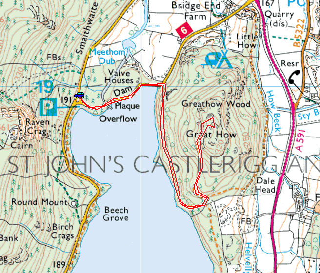
Start point: Car Park at the western side of Thirlmere Dam (NY 307 189)
Great How (539) from Thirlmere Dam
Distance: 2.2 miles Total Ascent: 250 metres Time Taken: 1 hour
Weather: Sunny. 17ºC.
The weather had almost completely turned before lunchtime for my fourth and final walk to Great How at the northern end of Thirlmere and the views were a bit washed out by the cloud cover. I wasn’t really expecting much of a view anyway as the fell is completely covered in trees but I was pleasantly surprised as it turned out. I must admit to there being a fifth walk on the cards to Brown Crag on the opposite side of the A591 from Great How but when I saw how steep it looked from there I decided to give it a miss today!
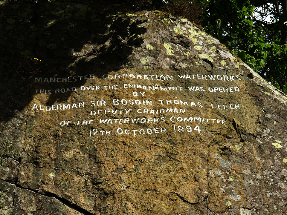
Inscription on the rock at the entrance to Thirlmere Dam wall.

Great How doesn't look a very inviting prospect from here being completely covered in trees, but I guess not that long ago all fells were this way.
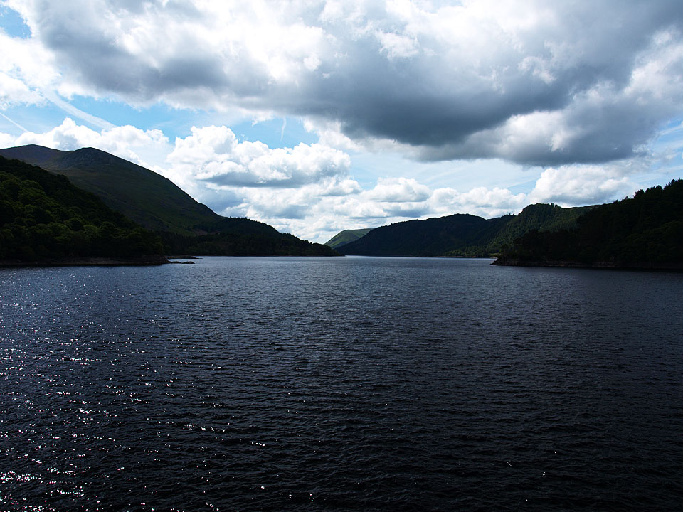
Thirlmere from the dam.
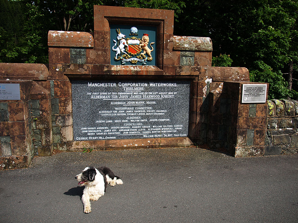
The sentinel at the plaque.
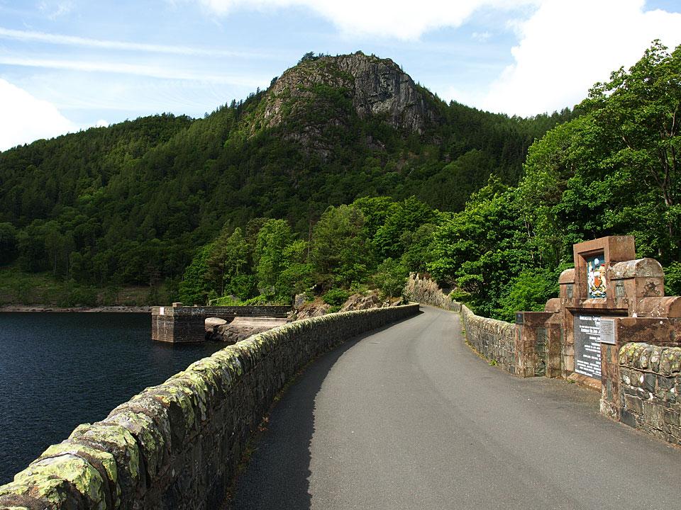
Raven Crag.
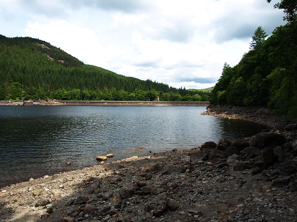
An alternative view of the dam from the lakeshore path.
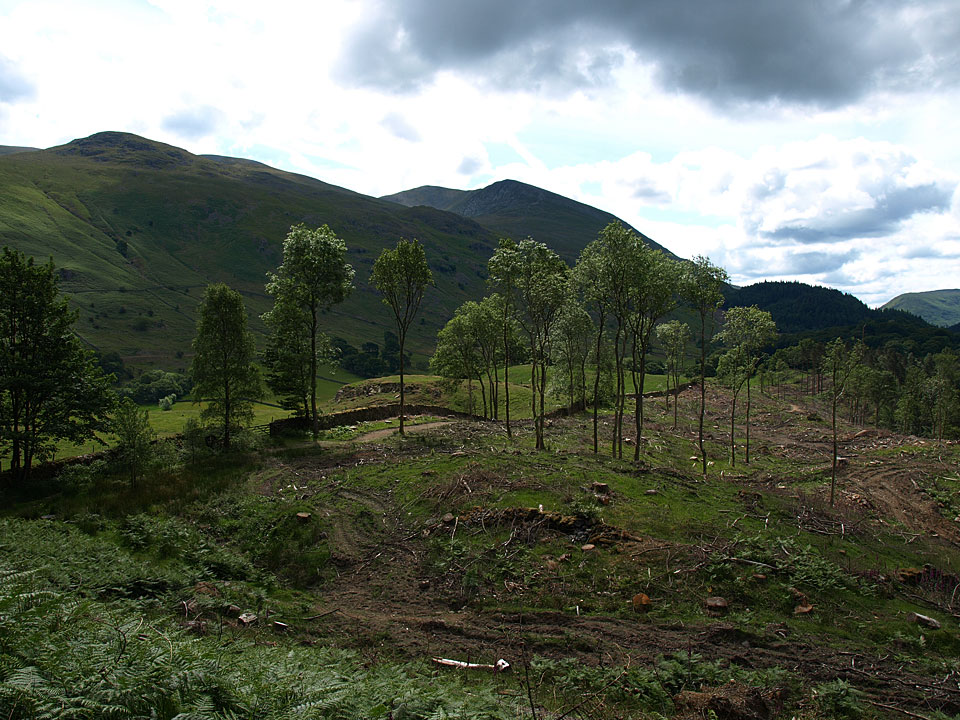
Thirlmere has been deforested along much of the eastern bank and is much better for it, here with a view to Helvellyn.

The summit of Great How.
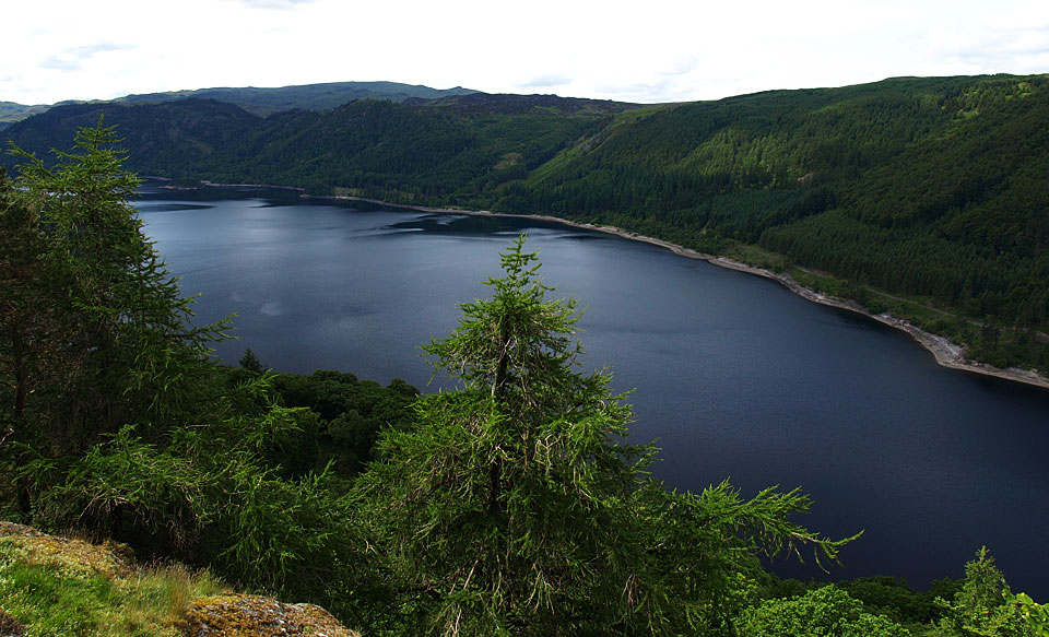
Thirlmere from Great How.