Height: 745 metres / 2443 feet Grid reference: NY 28292 00757
Walking the Black Sails ridge
Height: 745 metres / 2443 feet Grid reference: NY 28292 00757


Walking the Black Sails ridge
Walked on
Start point: Tilberthwaite car park (NY 306 010)
Tilberthwaite – Tilberthwaite Gill – Birk Fell Man on Birk Fell – Wetherlam Edge – Wetherlam – Black Sails – Red Dell – Hole Rake – Tilberthwaite
Distance: 6 miles Total Ascent: 880 metres Time Taken: 3 hours
Weather: Clear at first, mist and drizzle later. 19oC.
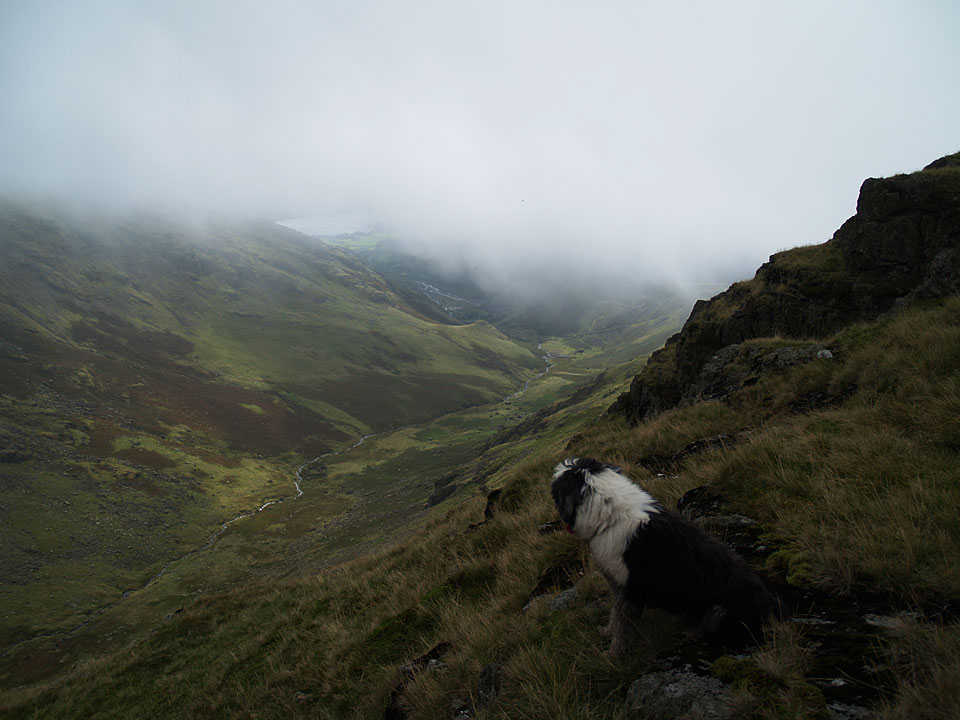
Everywhere but Wetherlam seemed to be in cloud this morning when I set out; it was basking under a lovely blue sky, but that quickly changed during the ascent of Wetherlam Edge. I thought it would be an interesting addition to drop down to Red Dell following the Black Sails ridge but it proved to be a tough climb back up to Hole Rake and over to Tilberthwaite.
Walked on
Start point: Coniston (SD 304 976)
Coniston – Walna Scar road – Brown Pike (48) – Buck Pike on Seathwaite Fell (49) – Dow Crag (50) – Goat’s Hawse – Coniston Old Man (51) – Brim Fell (52) – Levers Hawse – Great How (53) – Grey Friar (54) – Little Carrs (55) – Hell Gill Pike (56) – Great Carrs (57) – Swirl How (58) – Prison Band – Swirl Hawse – Black Sails (59) – Wetherlam (60) – Coniston
Weather: Overcast with sunny spells. Very windy.
A long Coniston round today taking in all the highest tops and some of the less well known ones. It was a drizzly start but this soon cleared and there were lots of sunny intervals with some cloud coming in. There was a strong breeze all day growing to gale force by the end of the walk.
You may have noticed a distinct lack of Tarns on this walk. This is because there were so many to be seen, I have given them their own page and they can be viewed here.
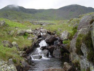
The initial ascent was via the Walna Scar road which is a good hours trek from Coniston before the highest point is reached. The picture is of Cove Bridge across Torver Beck
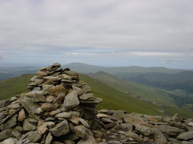
A sharp ascent from the Walna Scar road to the summit of Brown Pike. The furthest fell is Black Combe with Caw visible behind Walna Scar.
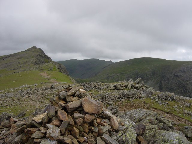
An easy traverse to Buck Pike. Dow Crag is the next fell along the path, in the distance Great Carrs, Swirl How and Great How Crags coming round to Brim Fell on the right.
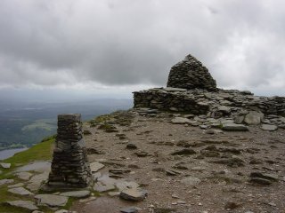
From Dow Crag, it's a descent to Goat's Hawse and then a steep ascent back up to the Old Man of Coniston.
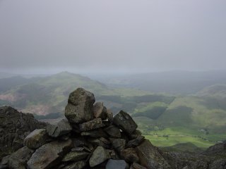
Off the beaten track now to a fairly long trek contouring round to Grey Friar, Looking out towards Eskdale and the Scafell range and then another contour round to Hell Gill Pike and Little Carrs.
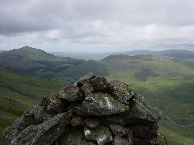
The summit of Hell Gill Pike. Harter Fell is on the left and Hard Knott on the right. The Hardknott - Wrynose road can be seen on the bottom right of the picture.
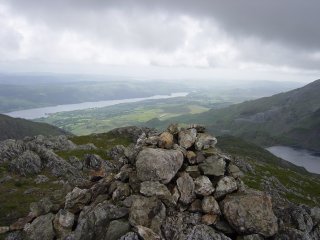
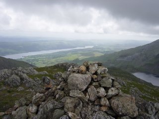
Then a steep descent of Prison Band before ascending Black Sails. The picture is from Black Sails summit showing Coniston Water and Levers Water.
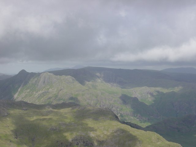
The sun shines over Langdale from Black Sails. Right of centre, Pavey Ark can be seen overlooking Stickle Tarn with the distinctive shape of Pike O' Stickle to the left.
Walked on
Start point: Coniston (SD 304 976)
Coniston – Walna Scar road – Brown Pike (48) – Buck Pike on Seathwaite Fell (49) – Dow Crag (50) – Goat’s Hawse – Coniston Old Man (51) – Brim Fell (52) – Levers Hawse – Great How (53) – Grey Friar (54) – Little Carrs (55) – Hell Gill Pike (56) – Great Carrs (57) – Swirl How (58) – Prison Band – Swirl Hawse – Black Sails (59) – Wetherlam (60) – Coniston
It was amazing how many tarns and stretches of water could be seen on this Coniston Round; they are shown on this page.
