Height: 633 metres / 2077 feet Grid reference: NY 21246 14156
Hindscarth from Black Star, the highest point of Honister Crag
Height: 633 metres / 2077 feet Grid reference: NY 21246 14156
Hindscarth from Black Star, the highest point of Honister Crag
Start point: Car Park at the head of Honister Pass (NY 225 135)
Honister Hause – Bell Crags – Black Star (440) – Fleetwith Pike (441) – Moses Trod – Beck Head – Great Gable – Green Gable (442) – Gillercomb Head – Brandreth (443) – Grey Knotts (444) – Honister Hause
Distance: 8.75 miles Total Ascent: 1159 metres Time Taken: 4 hours
Weather: Grey and overcast. 5ºC.
Today the weather was a lot duller than yesterday for a walk up to Great Gable from the Honister Pass. It did look promising at the start, but after the ascent of Great Gable I never got out of the clouds until reaching Grey Knotts. It was very quiet up there today and I had every summit to myself, which must be a record for Great Gable I think!


The track from Honister Pass looking down to the slate mine - the only slate mine in England.

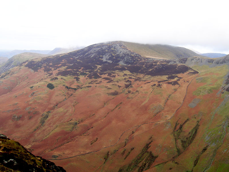
Hindscarth from Black Star, the highest point of Honister Crag.

Yewbarrow through the gap between Kirk Fell and Pillar.

The Buttermere Valley from Fleetwith Pike. The nearest water is Buttermere with Crummock Water behind and a glimpse of Loweswater in the distance.

High Crag and High Stile from Fleetwith Pike.

The summit of Grasmoor obscured by clouds.

Haystacks in the foreground with Pillar behind, across Ennerdale.

Angus is back! - on Fleetwith Pike.

High Crag.

Fleetwith Pike to the left of the ridge with Black Star along the same ridge to the right. Much evidence of continuing mining operations here.

Kirk Fell appears fleetingly from the cloud cover.

...as does Green Gable.

A panoramic view of Ennerdale and Buttermere. Select on the image to see a large annotated version.

Angus.

The Ennerdale Valley from the rising of the River Liza which runs all the way to Ennerdale Water.

A glimpse in to Wasdale and a view of Wast Water from Beck Head. Now it was up to Great Gable and up into the clouds.

The Fell and Rock Climbing Club plaque on Great Gable summit with poppies remaining from the Remembrance Sunday service.

The mist clears at Windy Gap to show Styhead Tarn.

A puddle shows how cold it is up on Grey Knotts.

Tarn on Grey Knotts.

Base Brown from the summit of Grey Knotts.