Height: 544 metres / 1785 feet Grid reference: NY 11719 20314
Loweswater from Carling Knott
Whiteside and Grasmoor from the Loweswater End of Carling Knott
Height: 544 metres / 1785 feet Grid reference: NY 11719 20314
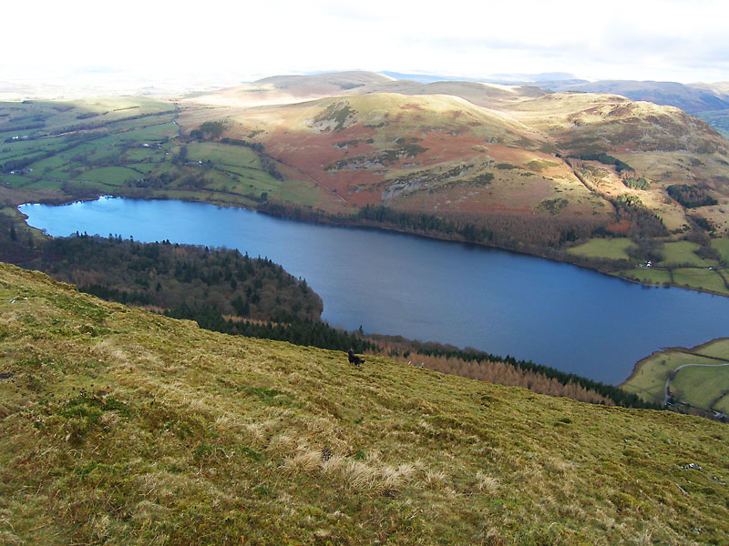
Loweswater from Carling Knott
Whiteside and Grasmoor from the Loweswater End of Carling Knott
Start point: Lamplugh (NY 089 209)
Lamplugh – Owsen Fell (452) – Burnbank Fell (453) – Loweswater End on Carling Knott (454) – Carling Knott (455) –Blake Fell (456) – Sharp Knott (457) – High Hows (Lamplugh) (458) – Lamplugh
Distance: 6.7 miles Total Ascent: 812 metres Time Taken: 3 hours
Weather: Dull with sunny intervals. 5°.
There was sunshine around the periphery of the Lakes today, but all the fells seemed to be under cloud. I had a walk in the far north-west, above Loweswater which gave some fine views for some quite lowly tops. Not all is friendly for walkers in this area though, as you will see…


The track from Lamplugh to Owsen Fell.

...but you're not allowed up there. What if I am walking 'The McMahon's' today?

The sun shines on Blake Fell and Sharp Knott, the way of descent later.

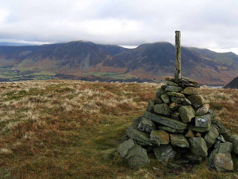
This is a Lake District famous thing on the summit of Burnbank Fell; the metal straining post is quite well known too...!

Looking across the Solway Firth to Criffel in Scotland.

Angus on Burnbank Fell.

Looking over to the Loweswater Fells.

Whiteside and Grasmoor from the Loweswater End of Carling Knott.

Looking across to Mellbreak, a glimpse of Crummock Water to the left.

Loweswater from Carling Knott.

A panoramic view of Loweswater.

Red Pike and High Stile, their heads in the cloud.

The clouds catch the top of Grasmoor.


The view from Carling Knott, Kirk Fell and Pillar in the clouds on the horizon.

The crowded mountain scene on the way to Blake Fell, Fleetwith Pike is between Mellbreak and High Stile.

Knock Murton and Cogra Moss from Blake Fell.

Fleetwith Pike at the head of Buttermere.

The forest path on the way to High Hows.

Blue sky now looking at Owsen Fell from High Hows.

Contented with the walk?