Height: 792 metres / 2598 feet Grid reference: NY 37454 10437 Category: The Eastern Fells
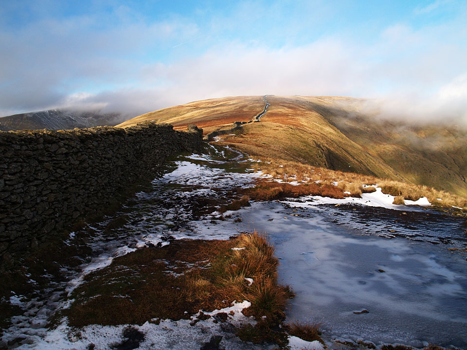
Looking back to Dove Crag from High Pike
Height: 792 metres / 2598 feet Grid reference: NY 37454 10437 Category: The Eastern Fells

Looking back to Dove Crag from High Pike
Walked on
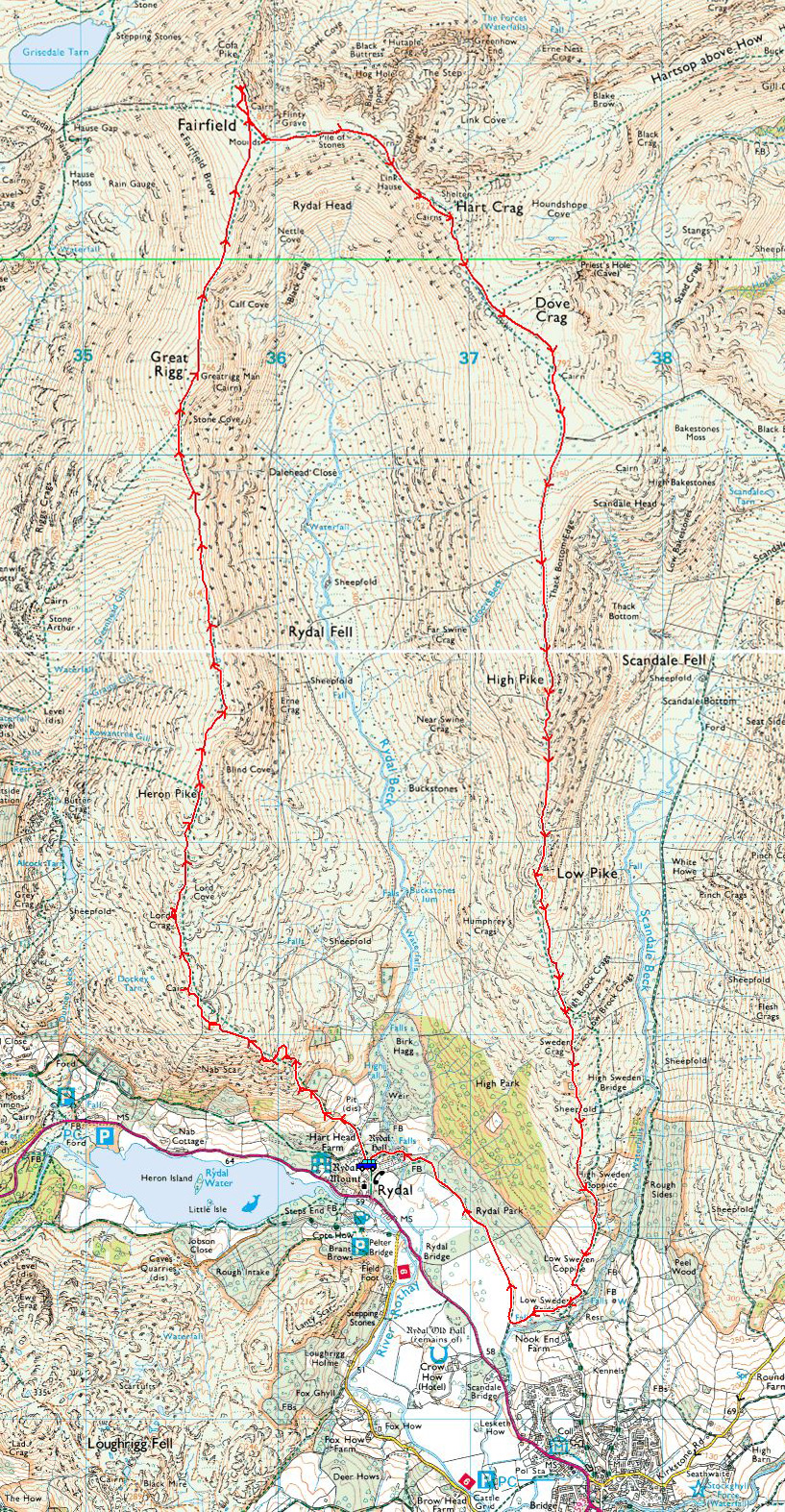
Start Point: Rydal (NY 365 062)
Rydal – Nab Scar – Heron Pike – Rydal Fell – Great Rigg – Fairfield – Hart Crag – Dove Crag – High Pike (Scandale) – Low Pike – Low Sweden Bridge – Rydal Park – Rydal
Distance: 10 miles Total Ascent: 1180 metres Time Taken: 5 hours Start Time: 07:35
Weather: Beautiful, warming up nicely to 17°C
The weather experts weren’t wrong today, it was an absolutely gorgeous morning for a walk around the Fairfield Horseshoe – one I haven’t done (unbelievably) since 2007. There wasn’t anyone around either until two thirds of the way when we met one or two people. I think this is the last day of the long hot summer as the weather is set to turn over the next few days…
Walked on
Start point: Ambleside (NY 375 046)
Ambleside – High Sweden Bridge – Low Pike – High Pike (Scandale) – Dove Crag – High Bakestones – Scandale Tarn – Scandale – Ambleside
Distance: 9 miles Total Ascent: 835 metres Time Taken: 6 hours 30 minutes Start Time: 08:00
Weather: Sunny and warm (eventually). 19°C
There was a mixed bag of weather today – poor weather for the initial climb sandwiched by sunshine and blue skies. I was joined on this walk by Clive Hutchby, author of The Wainwright Companion – the book is due out later this year and the photos in it are by me. This walk mimics ‘Dove Crag 5’, the page that was the first one Wainwright drew for the Pictorial Guides on November 9th 1952.
Walked on
Start point: Bottom of Kirkstone Pass (NY 402 113)
Kirkstone Pass – Hartsop Hall – Dovedale – Dove Crag – High Bakestones – Scandale Tarn – Little Hart Crag – High Hartsop Dodd – Kirkstone Pass
Distance: 7.9 miles Total Ascent: 915 metres Time Taken: 3 hours 15 minutes Start Time: 09:30
Weather: Sunny. 17°C
Wow, what a day today – it seems summer has arrived and it was the first time this year that my shorts had an airing. Fantastic views all around as well, you can’t beat it.
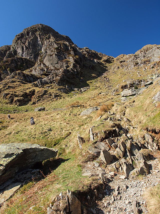
The start of the stone stairway. Dougal and Casper are going the wrong way but you can make out some people climbing the path in the distance.
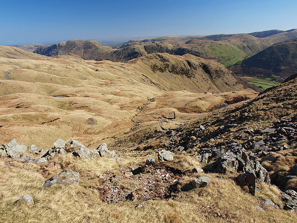
Hartsop above How and the far eastern fells. I got talking on the climb and managed to miss the Priest Hole - next time!
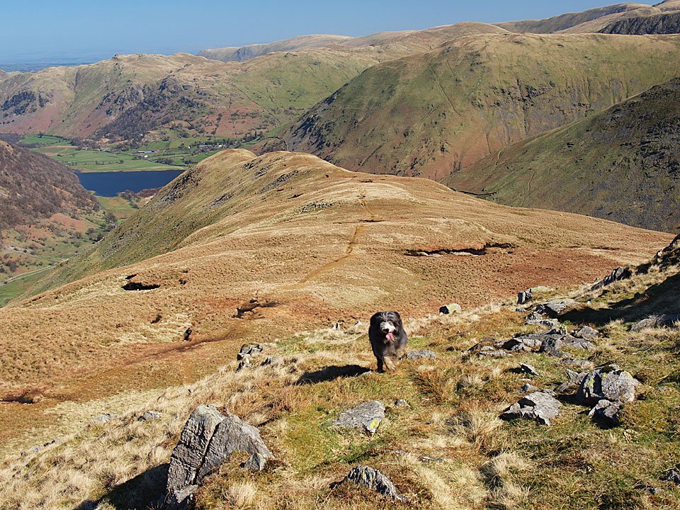
Heading for High Hartsop Dodd - it looks like Dougal has been already and is coming back to see where we are!
Walked on
Start point: Bottom of Kirkstone Pass (NY 402 113)
Kirkstone Pass – Hartsop Hall – Dovedale – Dove Crag – Bakestones Moss – Little Hart Crag – High Hartsop Dodd – Kirkstone Pass
Distance: 6.4 miles Total Ascent: 730 metres Time Taken: 3 hours 30 minutes
Weather: Strong wind, snow flurries. -2ºC.
It was really cold this morning again but the blue sky and crisp clearness of the weekend was gone to be replaced by strong winter weather. All was icy and frozen around Kirkstone Pass with heavy snow flurries at first. Once on the climb to Dovedale the wind really picked up and on the Dove Crag ridge it was severe and walking was difficult at times. When I got back to valley level I felt like I had taken a real pounding up there.
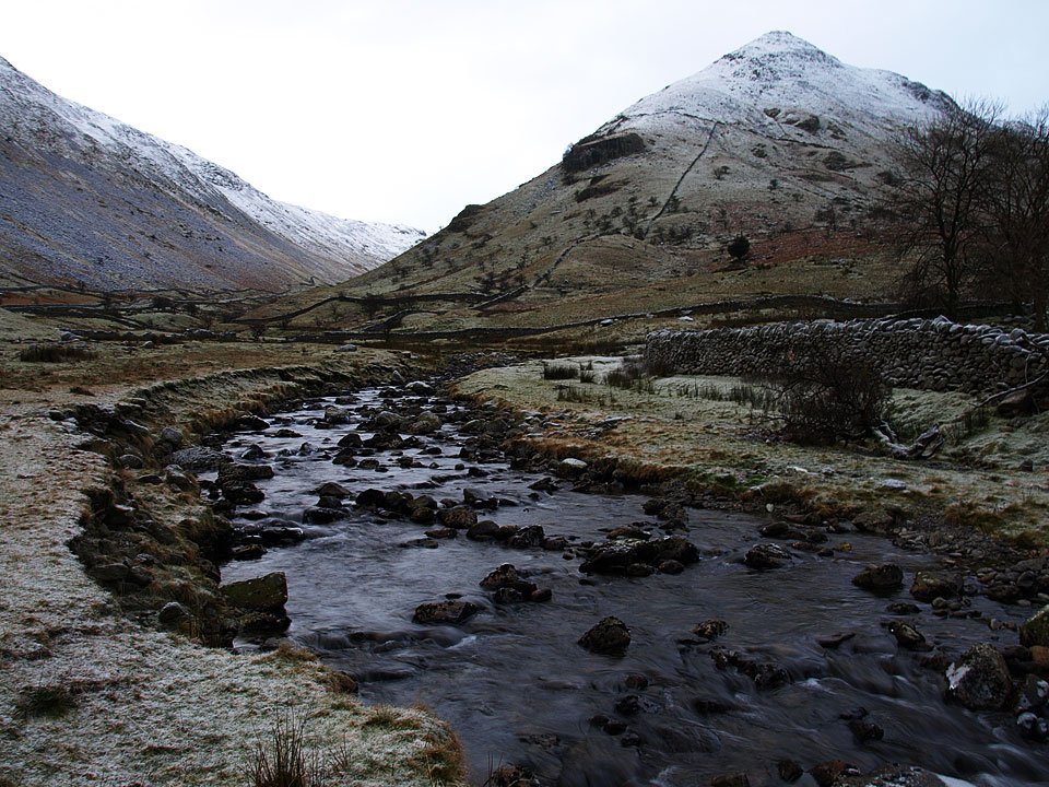
Blimey, it was cold this morning when I set off. This photo of Middle Dodd and Kirkstone Beck looks cold too.
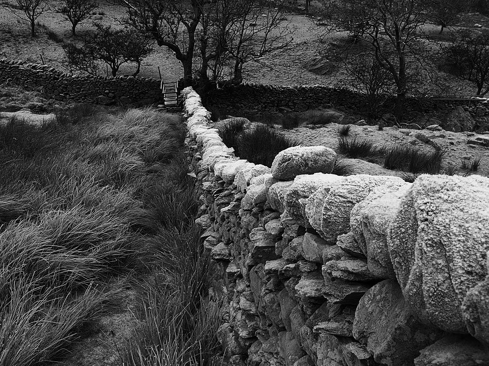
A frosty wall - mono photos seemed to match the conditions better than colour a lot of the time I thought.
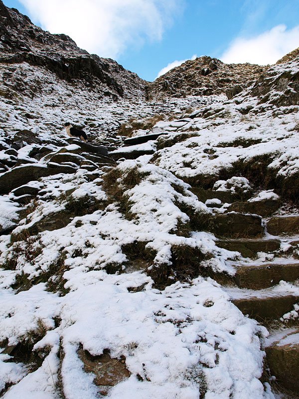
A bit of blue sky up there on the final part of the climb to Dove Crag. It all looks calm in this photo but the wind was picking up now making it feel even colder.
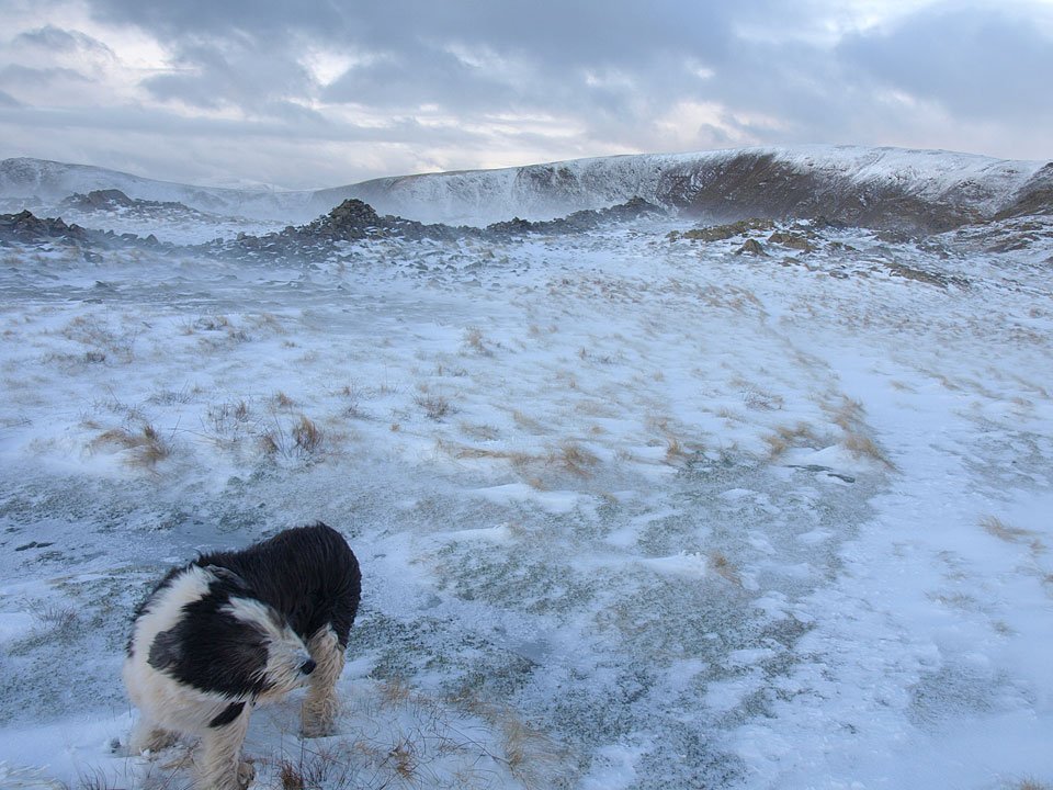
All hell was let loose once up onto the Dove Crag ridge with very strong winds and painful spindrift.
Walked on
Start point: Rydal (NY 365 062)
Rydal – Nab Scar – Heron Pike – Rydal Fell – Stone Arthur – Great Rigg – Fairfield – Hart Crag – Dove Crag – High Pike (Scandale) – Low Pike – Low Sweden Bridge – Rydal Park – Rydal
Distance: 10.5 miles Total Ascent: 1180 metres Time Taken: 5 hours
Weather: Clear at lower level, tops in mist. 4oC.
It was lovely and clear first thing this morning for a walk of the Fairfield Horseshoe with which I added a slight detour out to Stone Arthur above Grasmere. It was interesting to watch the weather almost constantly changing with clouds forming in the valleys before they lifted as I reached the top of Fairfield. The descent of Hart Crag and Dove Crag was done in very wintry mist with a covering of snow on these higher fells. By the time we got through that, the high cloud had come in to dull conditions somewhat and make it feel even cooler out of the sunshine.
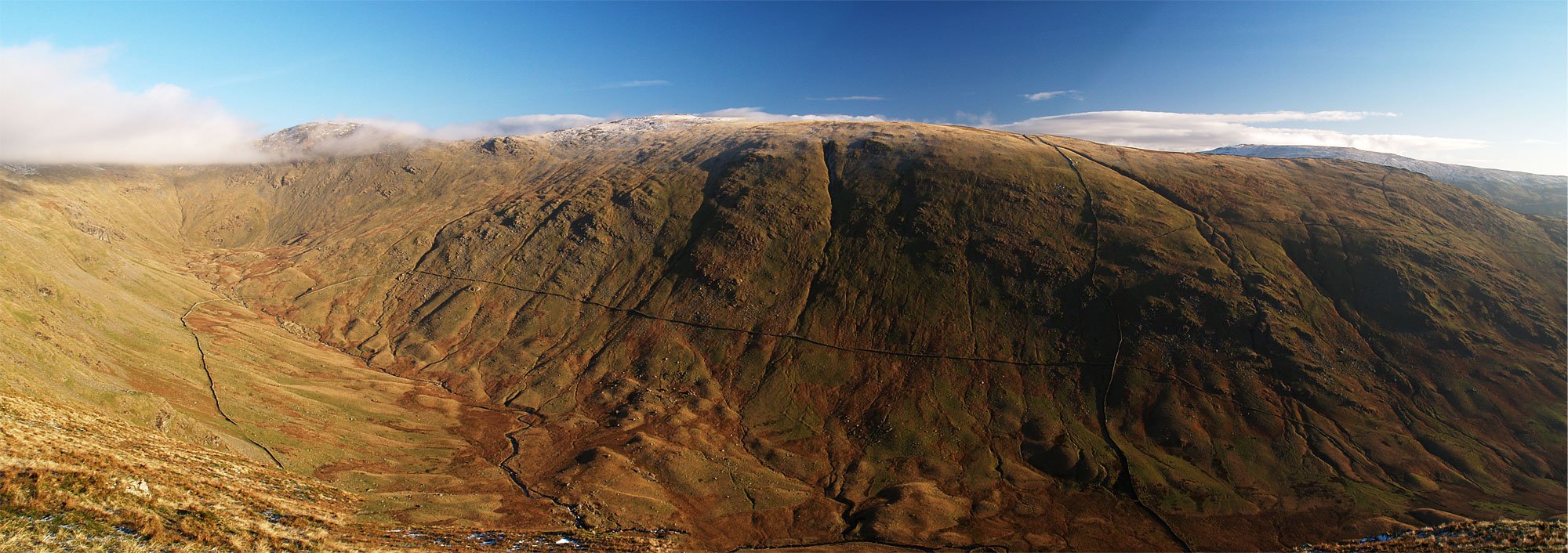
A panoramic view looking across Rydal to the route of return - Hart Crag, Dove Crag, High Pike and Low Pike
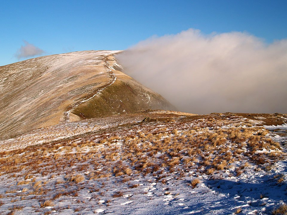
At this point things were happening quickly with the cloud all around. It looked like there was an inversion over Great Langdale way and here too the clouds looked to be forming and dropping into Rydal valley and I had hopes of an inversion here too.
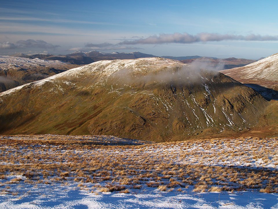
Seat Sandal with the Coledale fells in the distance. Here too the cloud was forming below the summit.
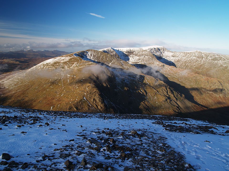
Dollywagon Pike, Nethermost Pike and Helvellyn - plus of course Striding Edge - from the summit of Fairfield.
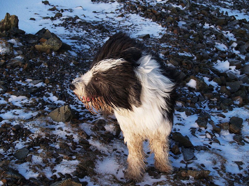
A cold wind whipped up whilst we were on Fairfield summit. That put paid to any chance of an inversion today I think.
Walked on
Start point: Rydal (NY 365 062)
Rydal – Nab Scar – Heron Pike – Rydal Fell – Great Rigg – Fairfield – Hart Crag – Dove Crag – High Pike (Scandale) – Low Pike – High Sweden Bridge – Ambleside – Rydal Park – Rydal
Distance: 12.9 miles Total Ascent: 1281 metres Time Taken: 5 hours
Weather: Sunny and warm. 27oC.
I knew it was going to be a warm one today – it was 23oC when I set off from Rydal this morning! It was hot and muggy with a welcome breeze on the higher parts, and very quiet up on the Fairfield Horseshoe. Angus and Casper kept themselves cool by wallowing in mud, glorious mud that baked on in the sun, and is proving impossible to get off.
Walked on
Start point: Ambleside – Rydal Road Car Park (NY 376 046)
Ambleside – Rydal Park – Nab Scar (118) – Heron Pike (119) – Rydal Fell (120) – Stone Arthur (121) – Great Rigg (122) – Fairfield – Hart Crag (123) – Dove Crag (124) – High Pike (Scandale) (125) – Low Pike (126) – High Sweden Bridge – Ambleside
Weather: Very warm, mainly overcast.
After a short lay off, it was good to get back out on the fells today with a classic round – The Fairfield Horseshoe. The weather looked promising but the haze never lifted although it was lovely and warm
From the car park at Ambleside, I followed the A591 to the delightful Rydal Park and walked through here to Rydal Mount.
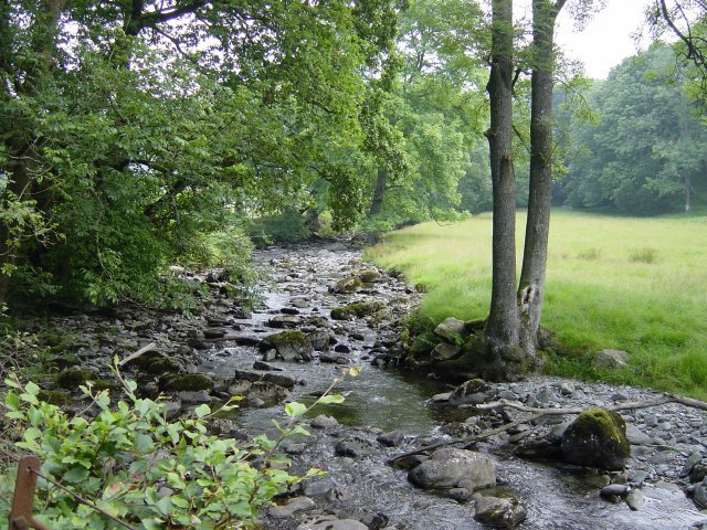
Scandale Beck in Rydal Park. From Rydal Mount (Wordsworth's old residence) the path is a steep stairway up to Nab Scar. On the way, there is a great view over Rydal Water over to Loughrigg.
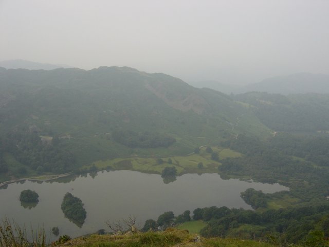
Loughrigg and Rydal Water from the ascent of Nab Scar. The summit cairn of Nab Scar is to the left of the main path - it was too hazy for views today.
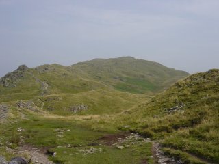
and the path to Heron Pike. The path climbs again from Nab Scar to Heron Pike and flattens off to reveal a quartz summit stone.
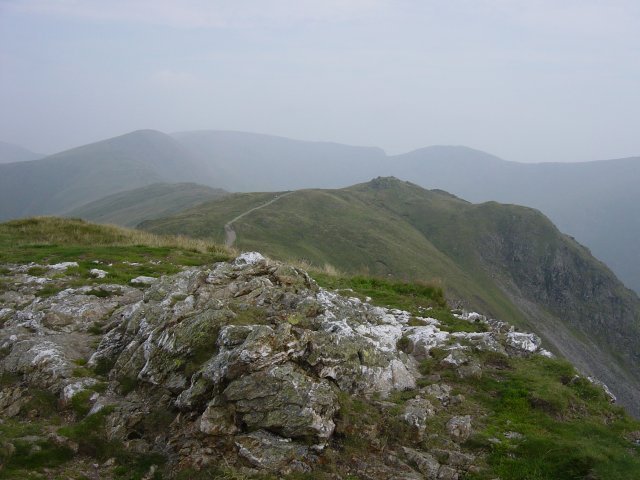
Rydal Fell from Heron Pike summit. Great Rigg, Fairfield and Hart Crag are on the horizon. From Heron Pike, the path descends then ascends again. To the right of the main path at the end of a wall is another cairn. The actual top is not named on O.S maps, only the whole fell. Birkett has named the summit after the fell, namely Rydal Fell.
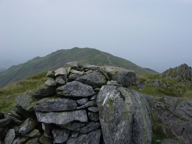
Heron Pike from Rydal Fell summit. From Rydal Fell, I made a detour from the usual Fairfield Horseshoe circuit by contouring around Greenhead Gill and striding out to Stone Arthur (which overlooks Grasmere) by picking up the main Stone Arthur - Great Rigg path.
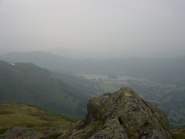
Grasmere from the summit of Stone Arthur. The tarn on the left is Alcock Tarn. From Stone Arthur, it was back along the main path and a steep ascent to Great Rigg.
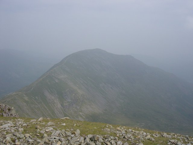
Saint Sunday Crag from Fairfield summit. From Fairfield it is a rocky descent then another ascent to Hart Crag to begin the return leg of the horseshoe.
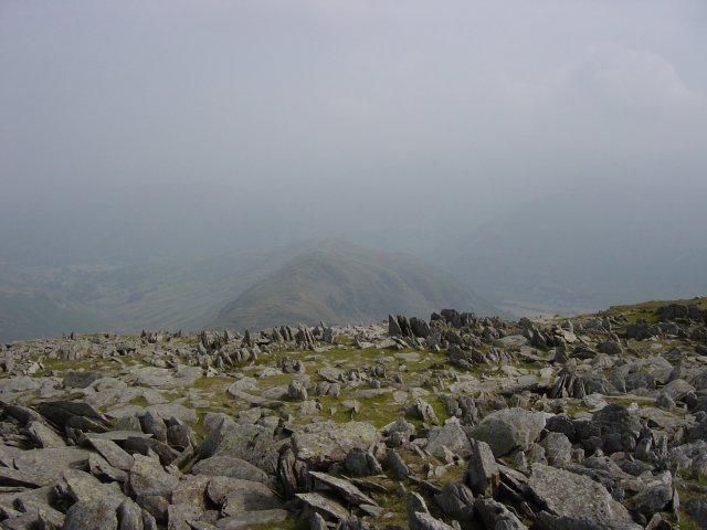
Hartsop above How from the rocky summit of Hart Crag. From the descent of Hart Crag, a wall guides you virtually all the way now. It is an easy ascent to Dove Crag from here.
