Height: 415 metres / 1362 feet Grid reference: NY 49159 16249

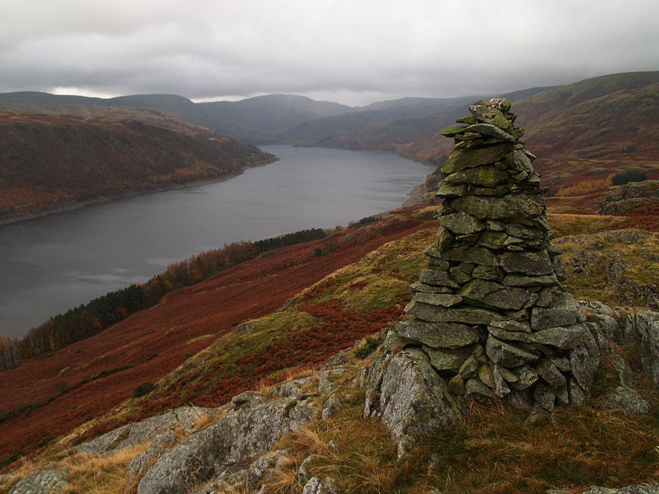
The prominent cairn on Four Stones Hill overlooking Haweswater
Height: 415 metres / 1362 feet Grid reference: NY 49159 16249

The prominent cairn on Four Stones Hill overlooking Haweswater
Walked on
Walk 1
Start point: Burnbanks (NY 508 161)
Burnbanks – Pinnacle How (518) – Birkhouse Hill – Four Stones Hill (519) – Bampton Fell (520) – Measand Beck – Burnbanks
Distance: 4.5 miles Total Ascent: 319 metres Time Taken: 2 hours
Weather: Rain and cold. 6oC.
Today was just the type of day to get some unashamed peak bagging done. It was clouded in over the high fells and it pretty much rained all day. I had a few Birkett bumps to walk around Haweswater so it made sense to try and get them in whilst I was up that way instead of having along drive for a couple of very short walks. The first walk was the longest and it took in the hills to the north of Haweswater and the dam starting from the small village of Burnbanks.

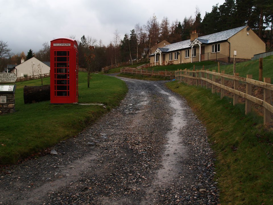
Burnbanks at the start of the walk. Originally it was a village to house workers during construction of Haweswater Dam.
Walk 2
Start point: Mardale (NY 479 118)
Brown Howe (Mardale) (521) from Mardale
Distance: 1.2 miles Total Ascent: 200 metres Time Taken: 30 minutes
Now it really was raining and it was very dreary. It took some effort to drive up the other side of Haweswater and then get out of the car again in the pouring rain for a short but steep climb up to Brown Howe. There are some nice views from the Old Corpse Road; I bet they would be superb on a clear, sunny day.
Walk 3
Start point: From the road above Bampton Grange (NY 521 187)
Knipe Scar (OF) (522) from above Bampton Grange
Distance: 4.5 miles Total Ascent: 319 metres Time Taken: 2 hours
This was one I didn’t fancy at all and I wasn’t disappointed with my disappointment, if you know what I mean (if not, I didn’t like it much). It was similar in appearance to other Limestone scars in the district with it having a flat top and limestone pavement. The views were non-existent today from there. Angus said he didn’t want to come on this one; I think he had the right idea!
