Height: 494 metres / 1621 feet Grid reference: NY 48889 06390

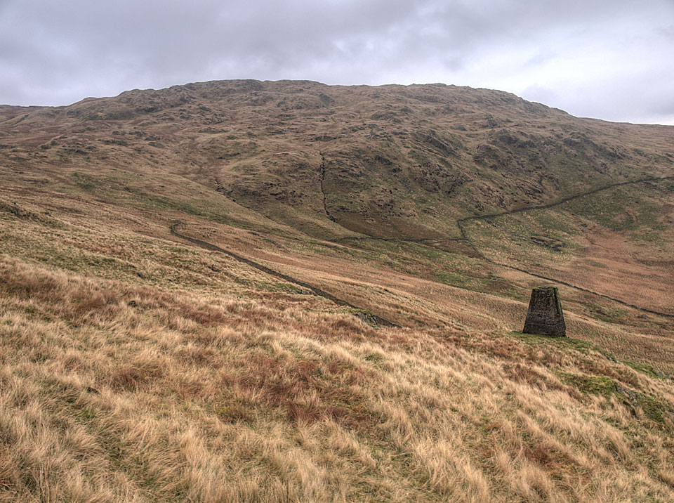
Grey Crag and the survey post on Great Howe

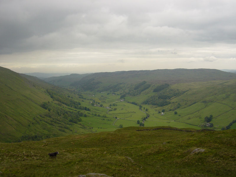
Longsleddale from Great Howe
Height: 494 metres / 1621 feet Grid reference: NY 48889 06390

Grey Crag and the survey post on Great Howe

Longsleddale from Great Howe
Walked on
Start point: Sadgill Bridge, Longsleddale (NY 483 057)
Sadgill Bridge, Longsleddale – Gatesgarth Pass – Branstree – Tarn Crag (Longsleddale) – Harrop Pike – Grey Crag(Longsleddale) – Great Howe (Longsleddale) – Sadgill Bridge, Longsleddale
Distance: 7.5 miles Total Ascent: 767 metres Time Taken: 3 hour 30 minutes Start Time: 09:00
Weather: Cold, wet and windy. 6C
Today I had a walk in Longsleddale, one of the remotest valleys around and I certainly saw no-one today. It was wild on the tops today with a strong wind and some heavy showers which coupled with boggy terrain made the going arduous at times – nice to be out for a longer walk once more though and I enjoyed it.

The top of Branstree is in cloud, looking across Wrengill Quarry. Once through the quarry the wind really started to pick up and the cloud was almost down to Gatescarth Pass.
Walked on
Start point: Sadgill Bridge, Longsleddale (NY 483 057)
Sadgill Bridge, Longsleddale – Gatesgarth Pass – Branstree (364) – Artlecrag Pike – Selside Pike (365) – High Howes (Mardale) (366) – Tarn Crag (Longsleddale) (367) – Harrop Pike (368) – Grey Crag (Longsleddale) (369) – Great Howe (Longsleddale) (370) – Sadgill Bridge, Longsleddale
Distance: 10.1 miles Total Ascent: 972 metres Time Taken: 3 hour 45 minutes
Weather: Overcast and hazy, a warm 17°C.
Today’s walk was a visit to some of the far eastern fells that I haven’t visited for a good while, starting from Longsleddale. Longsleddale is a lovely valley which is very quiet and Sadgill seems very remote at the end of the long valley road. The weather promised much but failed to deliver any sunshine although it was warm. Indeed, there were more than a few spots of rain towards the end.
