Height: 696 metres / 2283 feet Grid reference: NY 25965 04273
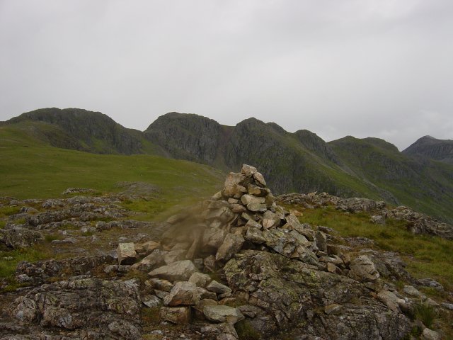
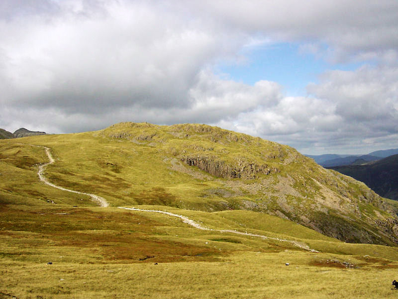
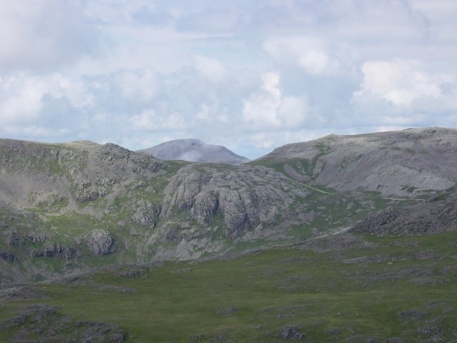
Great Knott from Cold Pike
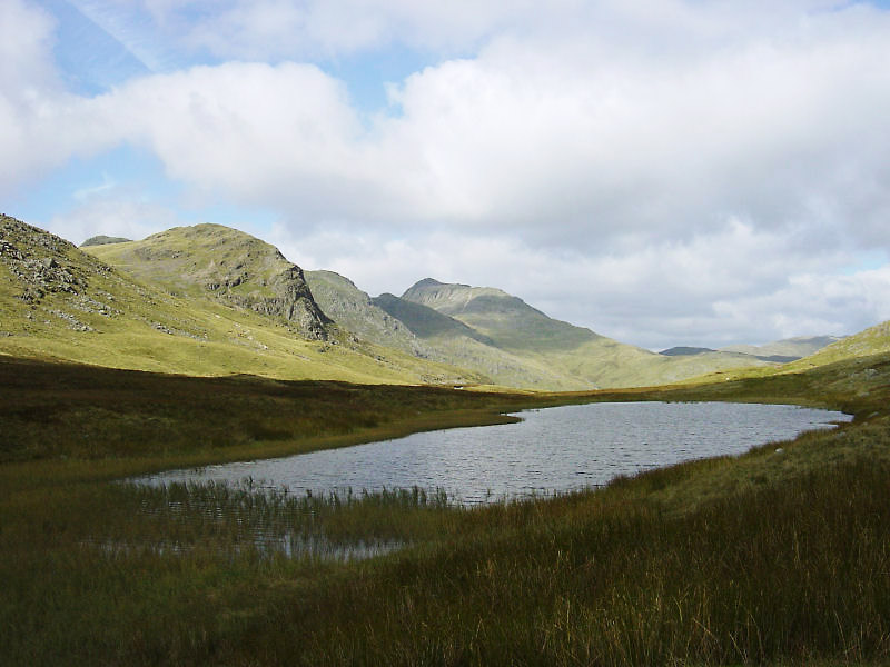
Looking across Red Tarn to Great Knott, the Crinkle Crags and Bow Fell
Height: 696 metres / 2283 feet Grid reference: NY 25965 04273


Great Knott from Cold Pike

Looking across Red Tarn to Great Knott, the Crinkle Crags and Bow Fell
Walked on
Start point: Three Shire Stone (NY 277 027)
Three Shire Stone – Rough Crags – Cold Pike – Great Knott – Red Tarn – Pike O’ Blisco – Black Crag – Three Shire Stone
Distance: 4 miles Total Ascent: 600 metres Time Taken: 2 hours
Weather: Cold and clear. 2oC.
After the poor weather recently, it was nice to get a clear day and blue skies again for a walk up to Cold Pike and Pike o’ Blisco, starting from the Three Shire Stone. The wind on the summit of Cold Pike was incredibly biting, but once out of the wind and back into the sunshine it soon warmed up nicely – a lovely day for a great walk.
Walked on
Start point: Three Shire Stone (NY 277 027)
Three Shire Stone – Rough Crags – Cold Pike – Great Knott – Red Tarn – Pike O’ Blisco – Black Crag – Three Shire Stone
Distance: 4 miles Total Ascent: 600 metres Time Taken: 3 hours
Weather: Sunny intervals but a lot cooler. 12°C.
The weather felt distinctly colder today on this walk from the top of the Wrynose Pass to Cold Pike and Pike o’ Blisco. Today was the day John Patterson completed his round of the Wainwrights, his 214th fell being the Pike o’ Blisco, and I met up with him and a group of friends en route to help him achieve a 40 year goal and to celebrate with champagne (of course!).
Walked on
Start point: The Old Dungeon Ghyll car park (NY 286 062)
Old Dungeon Ghyll – Pike O’ Blisco (61) – Red Tarn – Cold Pike (62) – Great Knott (63) – Crinkle Crags (64 – 68) – Shelter Crags (69) – 3 Tarns – Bowfell (70) – Climbers Traverse – White Stones on The Band (71) – The Band – Old Dungeon Ghyll
Weather: Sunny with scattered showers.
Today’s round is a high ridge round with great views of the Langdale Pikes and the Scafell range. Today started off sunny, but the clouds on the tops looked ominous.
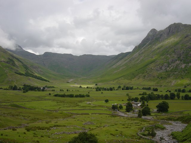
Up the tarmac from The Old Dungeon Ghyll car park, past Wall End and then a right turn onto the fell side for the ascent of Pike O' Blisco. This view of Mickleden over Wall End is from the road.
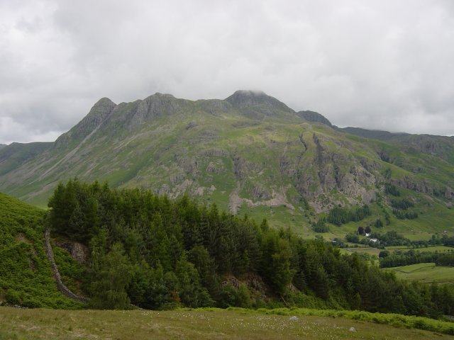
The path to Pike O' Blisco is a steep stairway. This view of the Langdale Pikes is from the path. The path eventually levels out and the summit dome of Pike O' Blisco is reached by a rocky scramble.
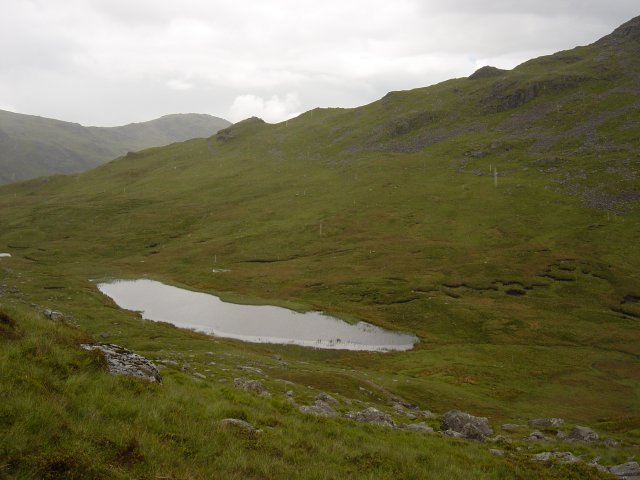
Red Tarn from the descent of Pike O' Blisco. The route I took was around the far left of the tarn from this view and then straight up the side of Cold Fell following the (electric) fence all the way to the summit.
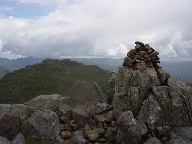
Pike O' Blisco from the summit of Cold Pike. Then it's an easy descent to the main path going to Crinkle Crags and striking northwards from the path I headed for Great Knott summit.
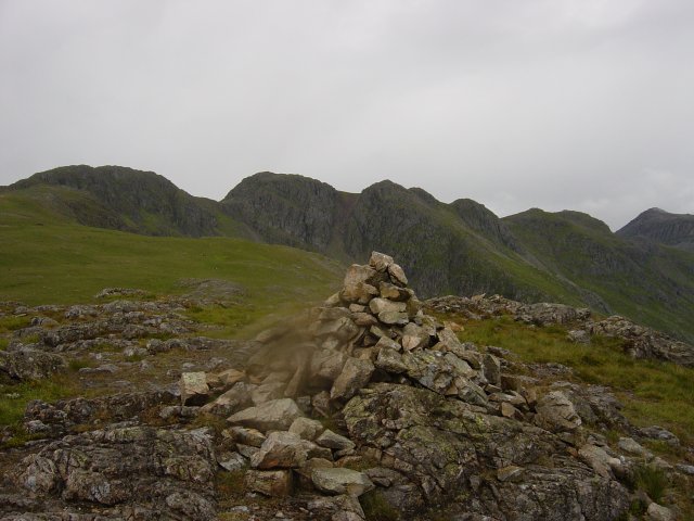
The Crinkle Crags from (a rainy) Great Knott summit. Great views of the Crinkle Crags ahead now, the main path is hard to miss.
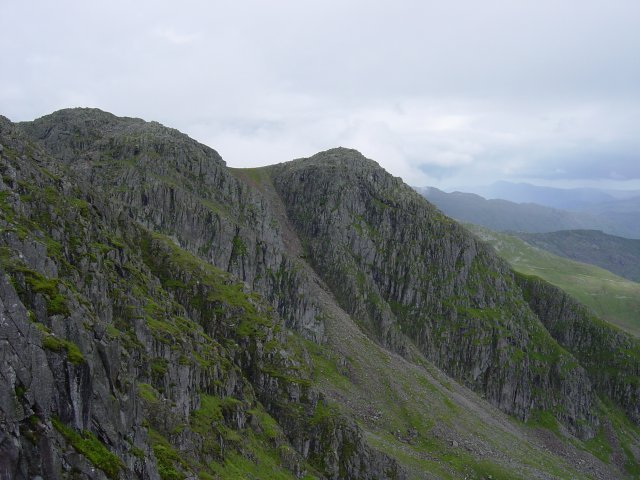
The second Crinkle, Mickle Door and the third Crinkle across Great Cove. There are five Crinkles in all, each is a separate summit. The highest summit is the second Crinkle, named Long Top. The Crinkle Crags can be a very confusing place in mist as the path does not follow a direct line. At the start of the second Crinkles ascent, there is a vertical rock face approximately 3 metres high known as 'the bad step'. This requires either climbing the rock or circumventing the step by following the path to the left flank of the buttress.
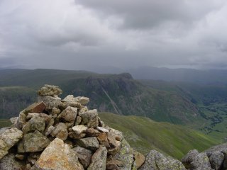
The Langdale Pikes from the fourth Crinkle, left and the Coniston fells from the fifth Crinkle, named Gunson Knott. When walking the ridge it appears there are more than five Crinkles, indeed there seems to be seven. The first top after the Crinkles is named Shelter Crags and there is a further un-named peak just before the descent to Three Tarns.
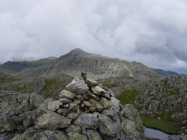
Bowfell from the summit of Shelter Crags. As the cloud was clearing, I decided to press on to Bowfell.
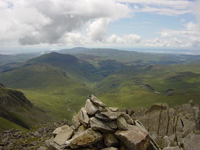
It was well worth climbing Bowfell for the spectacular views. Here Lingcove Beck, Hard Knott, Harter Fell and Black Combe can be seen from the summit.
Pillar from Bowfell. From here I took a different line of descent from the route of ascent. Following the path known as the climbers traverse from the summit alongside the Great Slab, a gigantic slab of steeply angled rock
