Height: 419 metres / 1375 feet Grid reference: NY 51043 14450 Category: The Outlying Fells
Harper Hills from Scalebarrow Knott
The reservoir on the Swindale supply line, Harper Hills
Height: 419 metres / 1375 feet Grid reference: NY 51043 14450 Category: The Outlying Fells
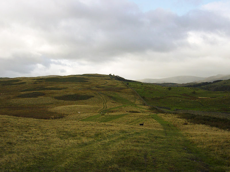
Harper Hills from Scalebarrow Knott
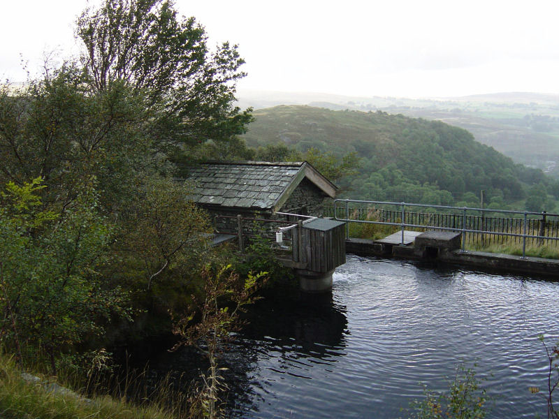
The reservoir on the Swindale supply line, Harper Hills
Start point: Swindale (NY 526 157)
Swindale – Scalebarrow Knott (415) (OF) – Harper Hills (416) (OF) – Powley’s Hill (417) – Hare Shaw (418) (OF) – Naddle High Forest (419) – Wallow Crag (420) – Naddle Low Forest (421) – Hugh’s Laithes Pike (OF) – Swindale
Distance: 8.5 miles Total Ascent: 717 metres Time Taken: 3 hours 15 minutes
Weather: Mixed – sunny but cold with the odd drizzly shower. 10°C.
I continued with my Wainwright Outlying fell quest today with a walk around the Naddle Valley above Haweswater Dam and the Mardale Valley. Haweswater, of course, is a flooded valley which is used as the Manchester water supply and evidence of the aqueduct and construction paraphernalia abound, even though it was built over 80 years ago.

The Naddle Horseshoe route map.

The approach to Scalebarrow Knott.

Harper Hills from Scalebarrow Knott.

The reservoir on the Swindale supply line, Harper Hills.

High Street, Kidsty Pike and High Raise.

Angus on the summit of Powley's Hill.

The view from Hare Shaw.

The Mardale Head skyline.

Naddle High Forest catches the sun.

The ridge of Naddle Forest from Naddle High Forest.

Selside Pike and Branstree from Wallow Crag.

Looking across Haweswater to Measand Beck and Bampton Common.

Haweswater.

Angus has a lie down on Naddle Low Forest.

Hugh's Laithes Pike, looking down to Haweswater Dam.

Fording Naddle Beck.