Striding Edge

A photo diary of Lake District fell walks

  • Walks
  • Fells
    • Wainwrights
      • Eastern Fells
      • Far Eastern Fells
      • Central Fells
      • Southern Fells
      • Northern Fells
      • North Western Fells
      • Western Fells
      • Outlying Fells
    • Birketts
  • Dogs
  • Love The Lakes
  • Contact

Hatteringill Head on Whin Fell

Height: 385 metres / 1263 feet Grid reference: NY 13335 24750

Fellbarrow

Walked on 31/01/2005

Start point: Loweswater (NY 128 217)

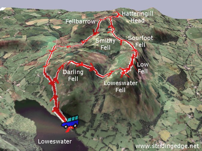
Loweswater – Darling Fell (276) – Loweswater Fell (277) – Low Fell (278) – Sourfoot Fell (279) – Smithy Fell (280) – Fellbarrow (281) – Hatteringill Head on Whin Fell (282) – Loweswater

Weather: Overcast throughout the walk.

A visit to the north western fells above Loweswater today – not much luck with the weather though as the clag stubbornly clung to the fells all day despite their relatively low stature.

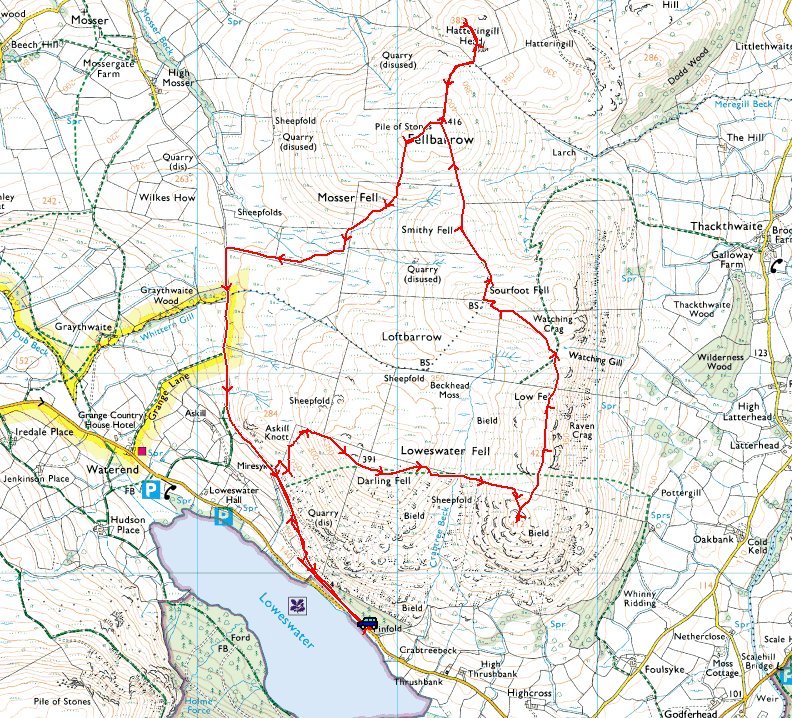
01 Fellbarrow

Fellbarrow route map.

02 Elevation

Elevation profile of the route. Key: DF=Darling Fell, LWF=Loweswater Fell, LF=Low Fell, SF=Sourfoot Fell, SMF=Smithy Fell, F=Fellbarrow, HH=Hatteringill Head on Whin Fell.

03 Fellbarrow 3D

3D image of the walk route.

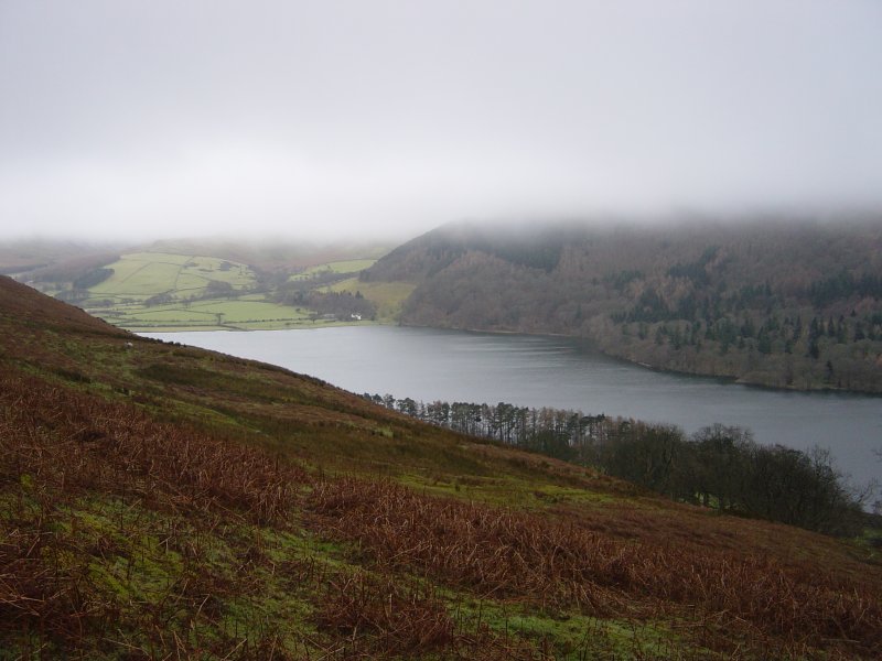
Dsc04037

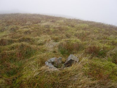
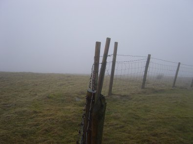
Loweswater from the ascent of Darling Fell. For completeness, summit shots without a view...

Dsc04043

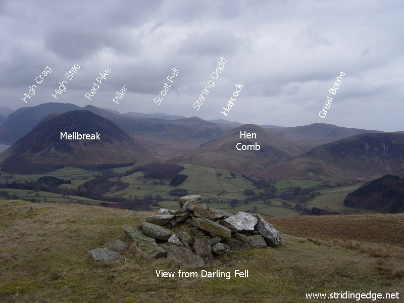
Darling Fell.

Dsc04047

Low Fell.

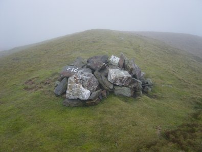
Dsc04048

Sourfoot Fell.

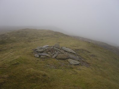
Dsc04049

Smithy Fell. ....and the view on a clearer day...

Dsc04049a

Dsc04050

Where are we?

Dsc04062

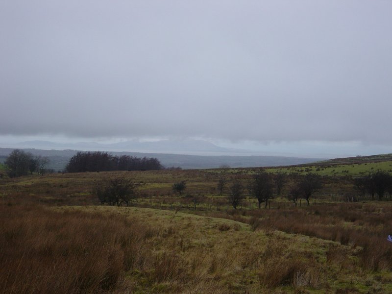
There was a better view over the Solway Firth to Scotland than anywhere else today...

Dsc04071

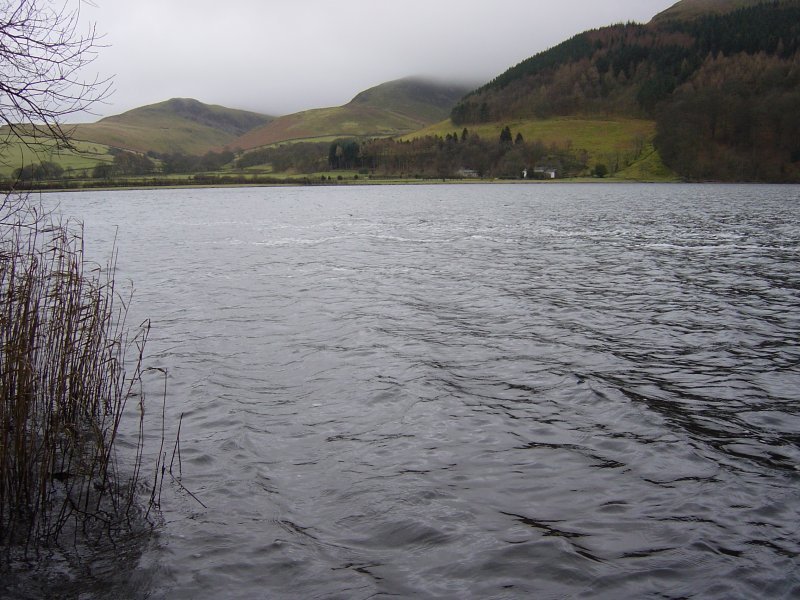
Loweswater.

Dsc04073

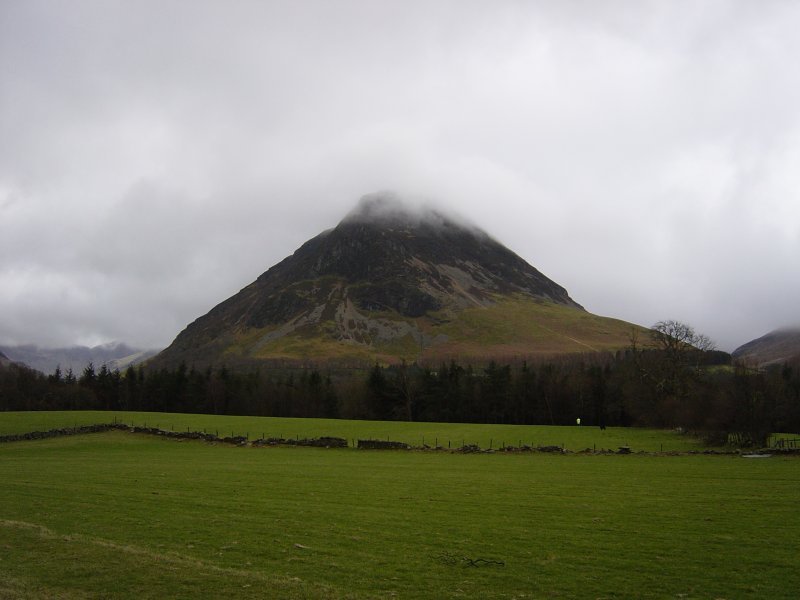
Mellbreak.

Dsc04074

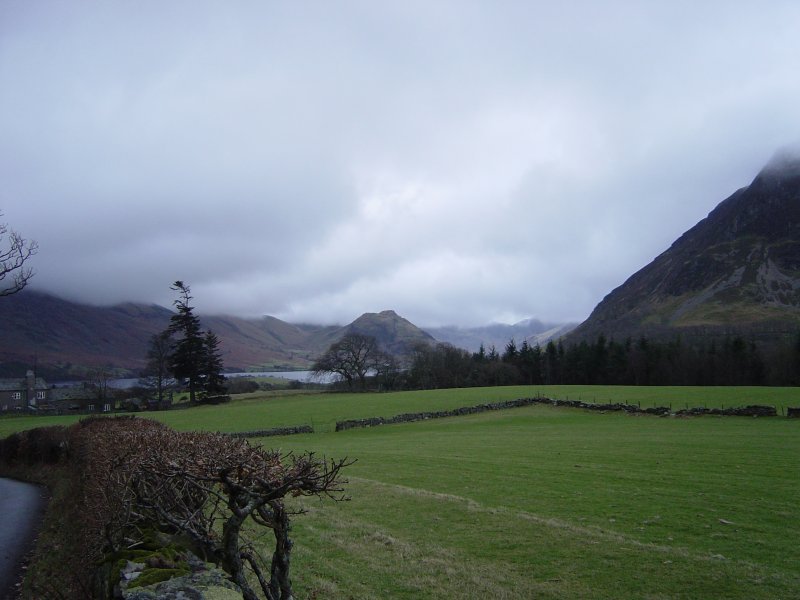
Rannerdale Knotts across Crummock Water.

Walking Diary

  • The Mosedale Horseshoe 01/03/2022
  • Caw 18/01/2022
  • Coniston sunset 17/01/2022
  • Blencathra 15/01/2022
  • Scafell Pike 14/01/2022

Social

  • Facebook
  • Twitter

Information

  • Striding Edge
  • T&C’s
  • Privacy
  • Links