Striding Edge

A photo diary of Lake District fell walks

  • Walks
  • Fells
    • Wainwrights
      • Eastern Fells
      • Far Eastern Fells
      • Central Fells
      • Southern Fells
      • Northern Fells
      • North Western Fells
      • Western Fells
      • Outlying Fells
    • Birketts
  • Dogs
  • Love The Lakes
  • Contact

Hawk Rigg

Height: 441 metres / 1447 feet Grid reference: NY 29953 01486
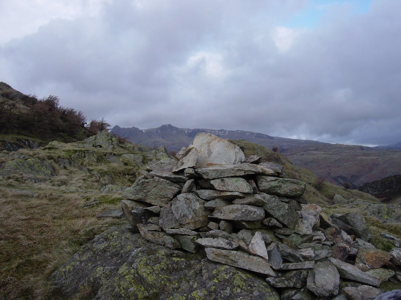
Hawk Rigg

Hawk Rigg

Tilberthwaite Fells

Walked on 21/01/2005

Start point: Tilberthwaite car park (NY 306 010)

Tilberthwaite – Tilberthwaite Gill – Blake Rigg (261) – Haystacks (Tilberthwaite) (262) – Hawk Rigg (263) – High Fell (264) – Great Intake on Low Fell (265) – Kitty Crag (266) – Long Crag on Yewdale Fells (267) – High Wythow (268) – Low Wythow (269) – Brackeny Crag (270) – Tilberthwaite

Weather: Cool and clear.

Today’s walk is a round of the Tilberthwaite Fells. Nestling between Coniston and Langdale and bearing the scars of an industrial past, this route with fells of small stature offers some excellent and surprising views.

01 Tilberthwaite

Tilberthwaite Fells route map.

02 elevation

Elevation profile of the route. Key: BR=Blake Rigg, H=Haystacks (Tilberthwaite), HR=Hawk Rigg, HF=High Fell, GI=Great Intake, KC=Kitty Crag, LC=Long Crag, HW=High Wythow, LW=Low Wythow, BF=Brackeny Fell

Dsc03825

High Tilberthwaite Farm.

Dsc03832

Wetherlam from Blake Rigg.

Dsc03834

The Langdale Pikes from Haystacks (the Tilberthwaite one!).

Dsc03840

Haystacks and Blake Rigg from Hawk Rigg.

Dsc03847

Red Screes and Caudale Moor flank the Kirkstone Pass in the centre distance, the near hummock is Great Intake from High Fell.

Dsc03859

The Langdale Pikes and Blea Tarn from Great Intake.

Dsc03868 annotated

Looking across to Pike O' Blisco and The Crinkle Crags - annotated.

Dsc03868

Looking across to Pike O' Blisco and The Crinkle Crags.

Dsc03870

Crossing and un-named beck above Tilberthwaite Gill, Wetherlam is behind.

Dsc03872

Looking back to the sunlit Tilberthwaite Fells.

Dsc03874

Hole Tarn.

Dsc03879

Levers Hawse and the Brim Fell - Swirl How ridge from Kitty Crag.

Dsc03884

Kitty Crag and the Coniston fells from Long Crag.

Dsc03887

Windermere and the eastern fells from High Wythow.

Dsc03889

The full length of Coniston Water can be seen from Low Wythow.

Dsc03891

The south face of Wetherlam from Brackeny Crag.

Walking Diary

  • The Mosedale Horseshoe 01/03/2022
  • Caw 18/01/2022
  • Coniston sunset 17/01/2022
  • Blencathra 15/01/2022
  • Scafell Pike 14/01/2022

Social

  • Facebook
  • Twitter

Information

  • Striding Edge
  • T&C’s
  • Privacy
  • Links