Striding Edge

A photo diary of Lake District fell walks

  • Walks
  • Fells
    • Wainwrights
      • Eastern Fells
      • Far Eastern Fells
      • Central Fells
      • Southern Fells
      • Northern Fells
      • North Western Fells
      • Western Fells
      • Outlying Fells
    • Birketts
  • Dogs
  • Love The Lakes
  • Contact

Wasdale and Irton Pike

Walked on 07/11/2011

A few sunset photos, a wander around Wasdale and then…

Start point: Old Quarry car park (NY 121 012)

Old Quarry car park – Irton Pike (OF) – Old Quarry car park

Distance: 1.3 miles     Total Ascent: 125 metres     Time Taken: 30 minutes     Start Time: 14:40

Weather: Sunny and bright. 9C

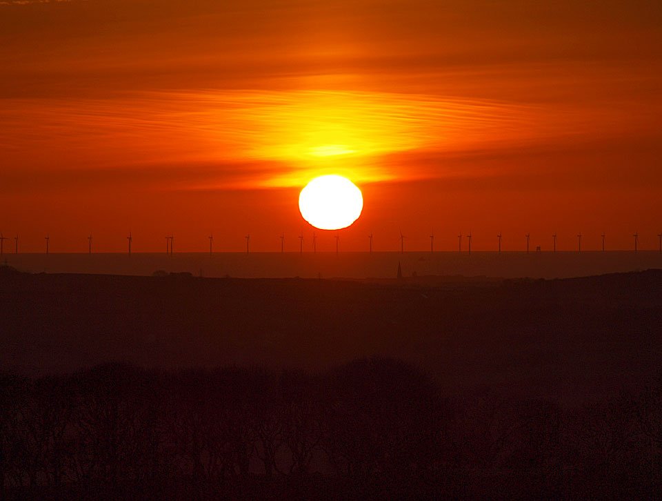
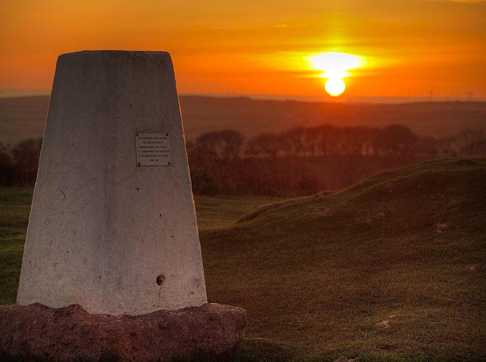
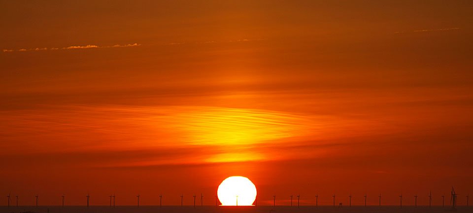
Firstly, some photos of a glorious sunset up on Birkrigg Common near Ulverston on Sunday evening…
06.11.11-008

Morecambe Bay from Birkrigg Common.

06.11.11-029

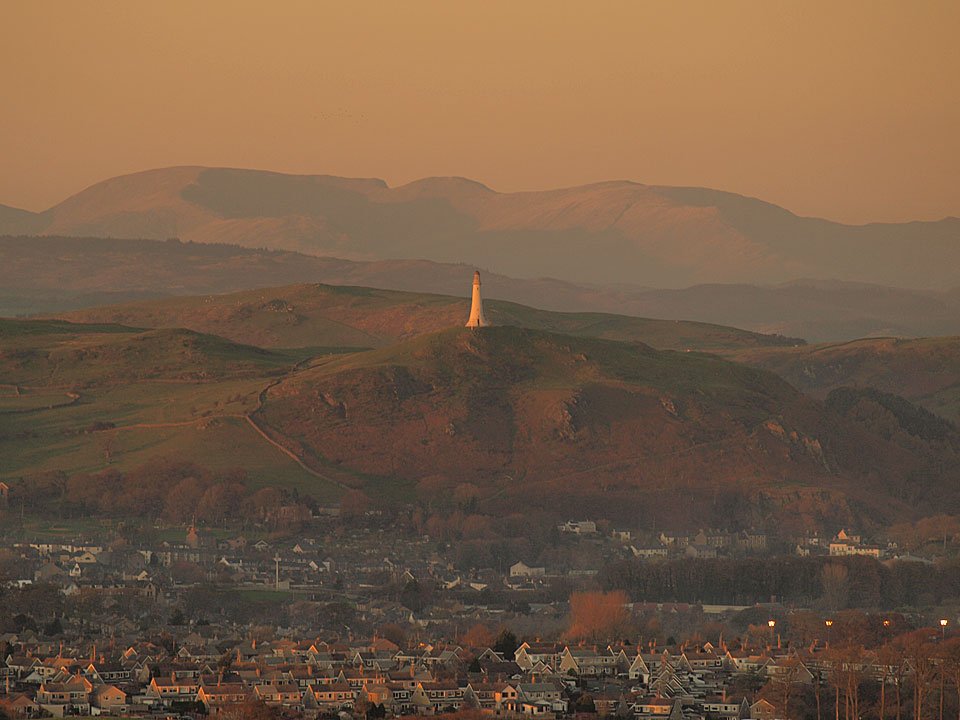
Sunset over Ulverston and The Hoad monument with the Fairfield Horseshoe beyond.

06.11.11-035

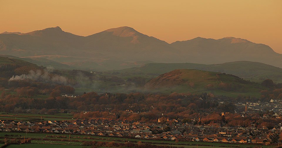
The Coniston fells.

06.11.11-047

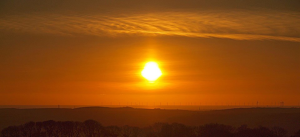
Lowering sun.

06.11.11-083

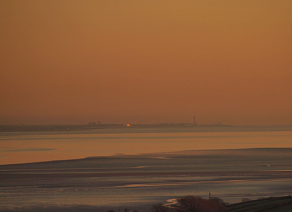
Blackpool Tower across the bay.

06.11.11-097

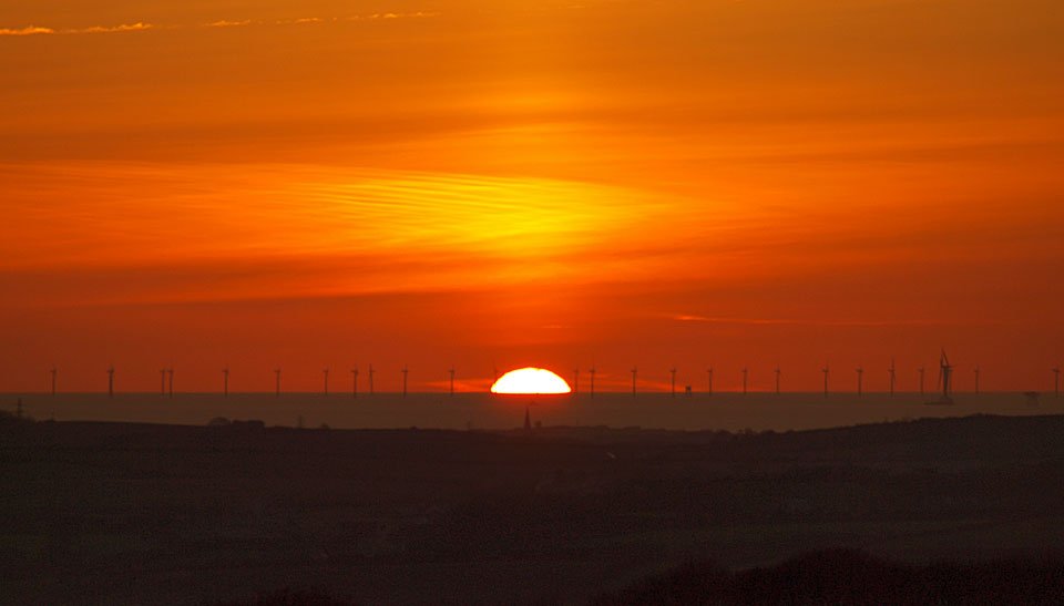
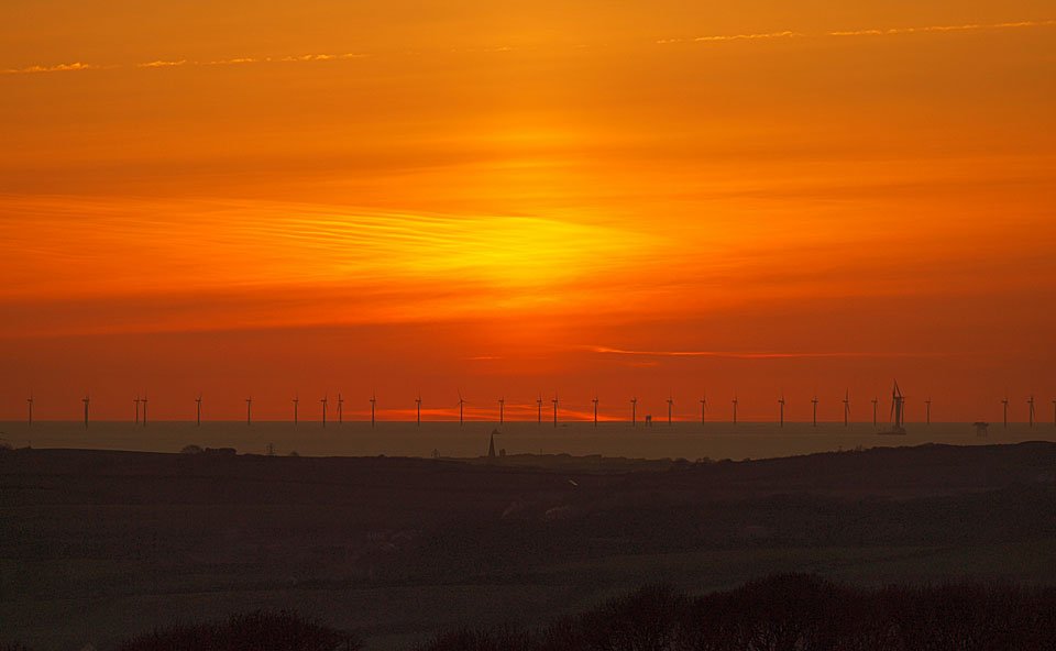
Lowering sun lights up the offshore wind farm.

06.11.11-116

Birkrigg Common.

06.11.11-118

Melting away the day.

06.11.11-139

Going...

06.11.11-151

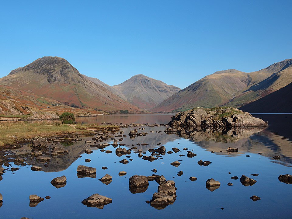
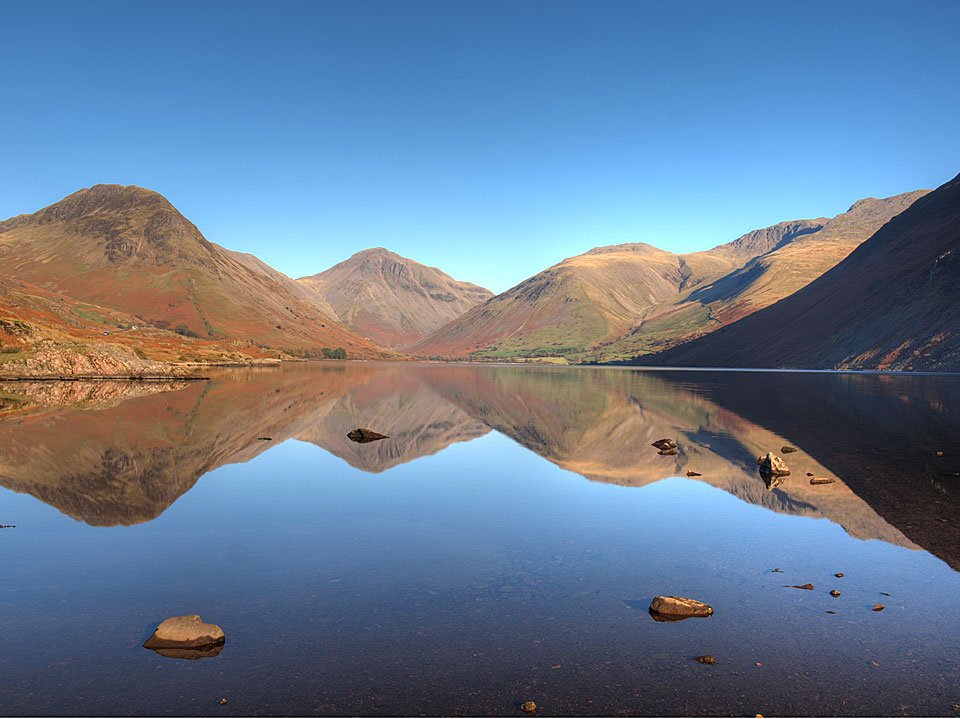
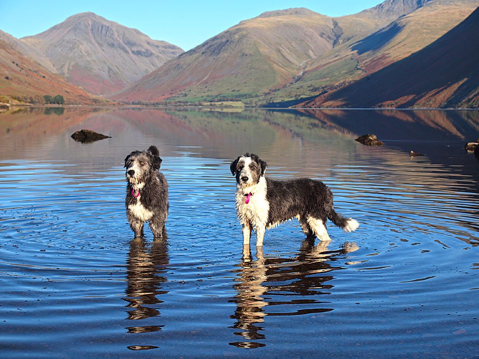
...gone. Monday was lovely and sunny so I wanted to visit Wasdale to see what it was like there and I wasn't disappointed - it was absolutely fantastic. Wast Water was flat calm and the views were clear - obviously, many of the shots are similar but it is a nice view...
07.11.11-040

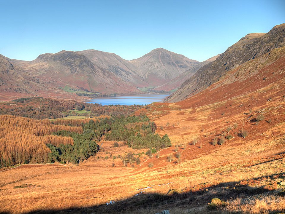
The classic view, or one of them. Yewbarrow, Great Gable and Lingmell.

07.11.11-043

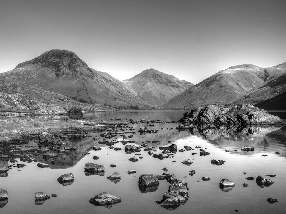
Similar, but different.

07.11.11-070

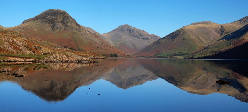
Reflected giants.

07.11.11-083

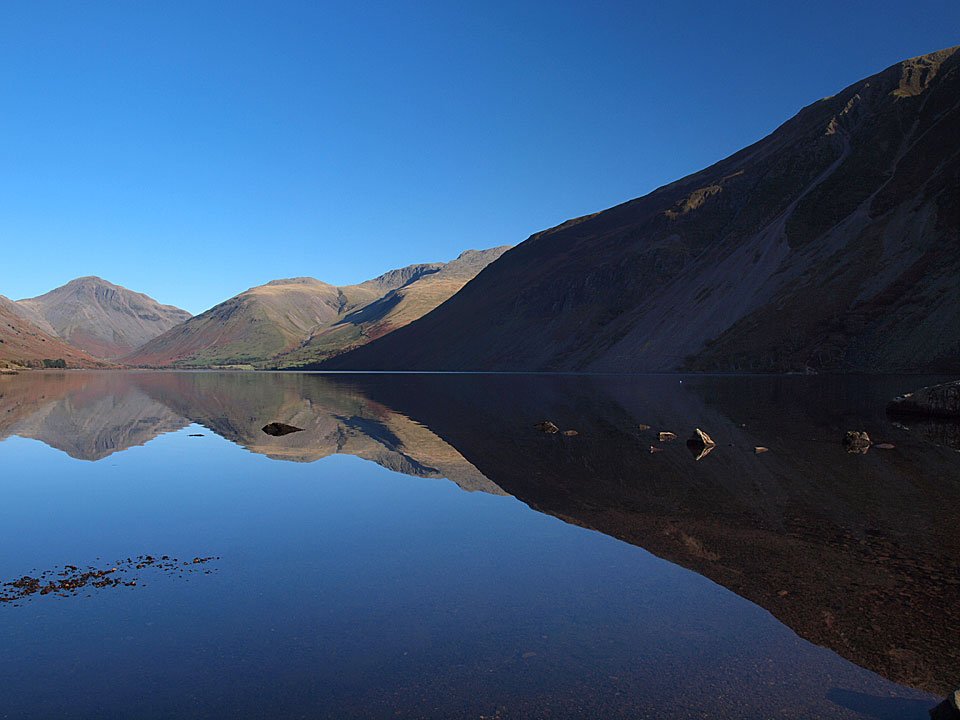
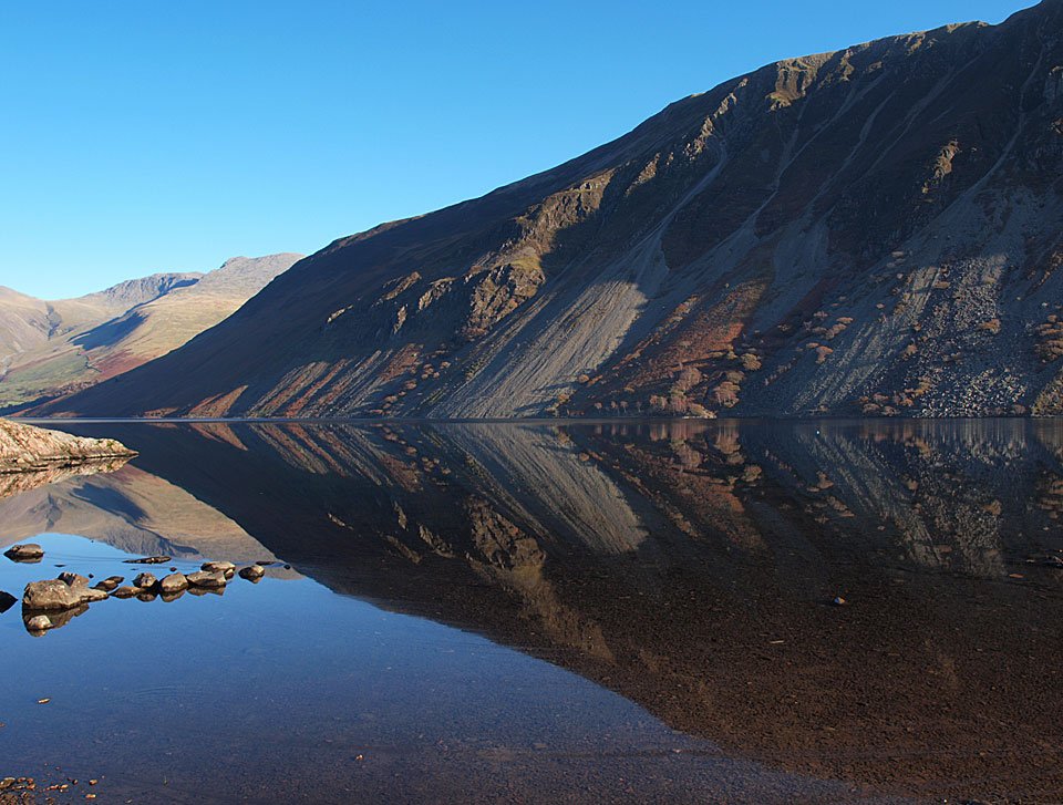
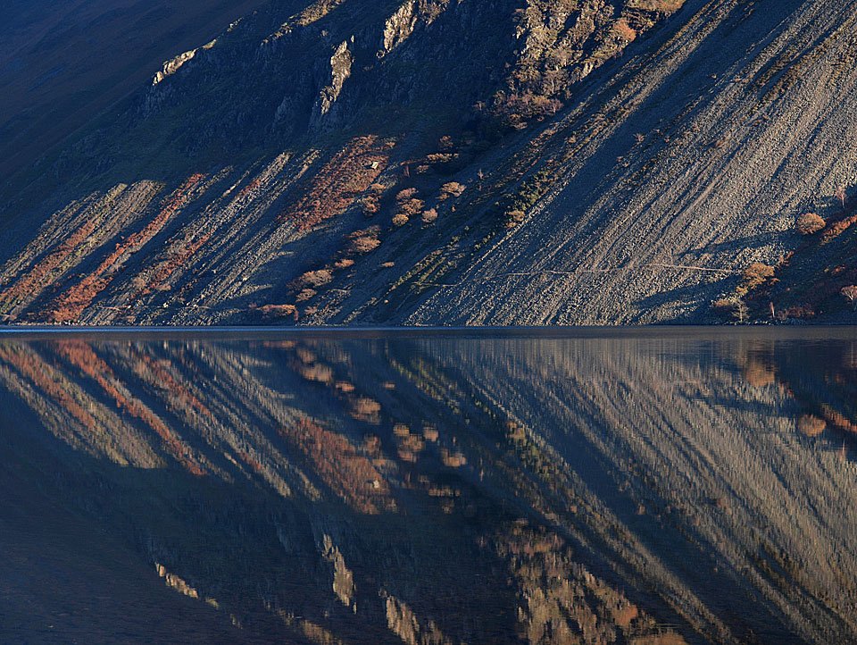
A different perspective with the dark and brooding screes reflected.

07.11.11-118

From a different place.

07.11.11-125

Lingmell and the Scafells.

07.11.11-137

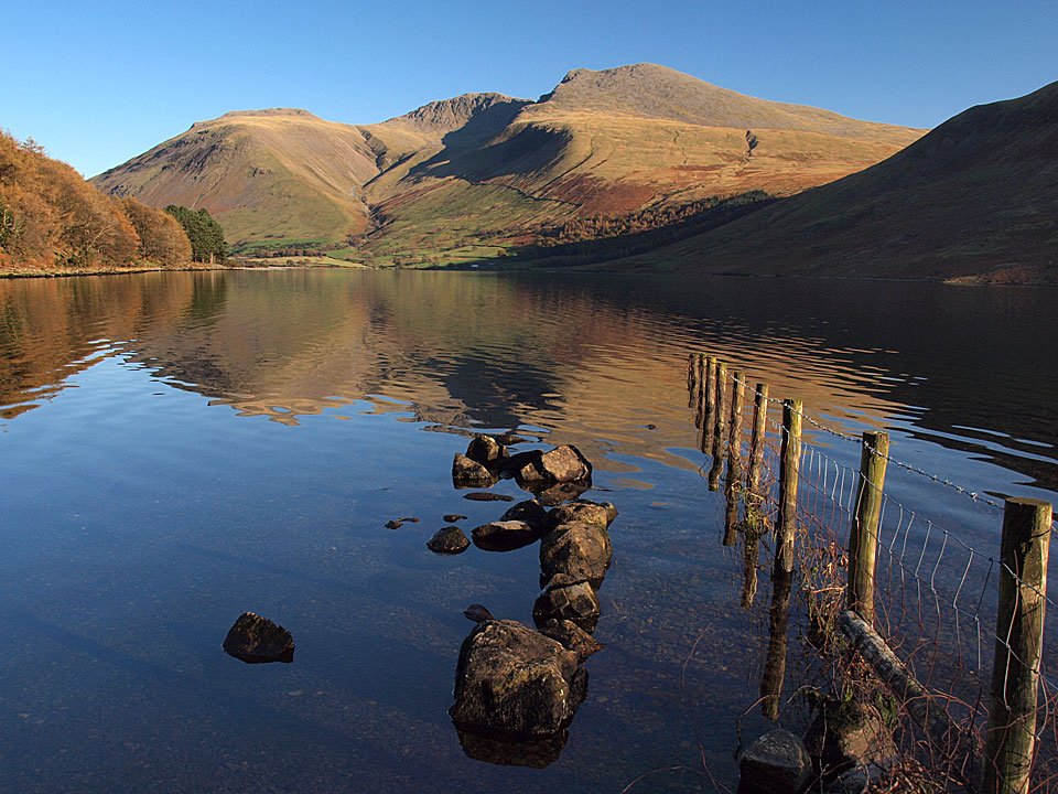
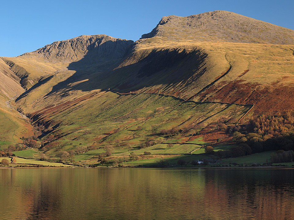
Scafell Pike and Scafell.

07.11.11-154

I think this was my favourite of them all, those colours have run into the water.

07.11.11-160

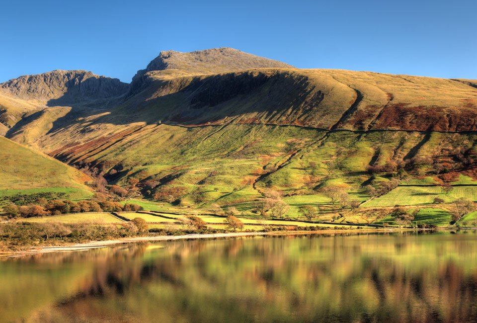
The Screes.

07.11.11-182

Reflected Screes.

07.11.11-198

Britain's favourite view...with some mountains and a lake as well! I spent so long soaking in the delights of beautiful Wasdale, I ran out of time for the planned walk but decided to stop off at little Irton Pike for a quick walk and a different perspective.
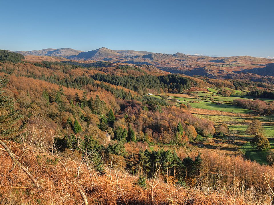
07.11.11-242

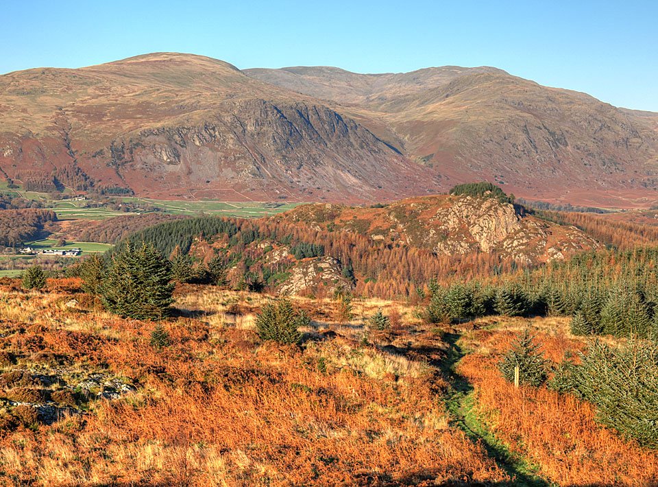
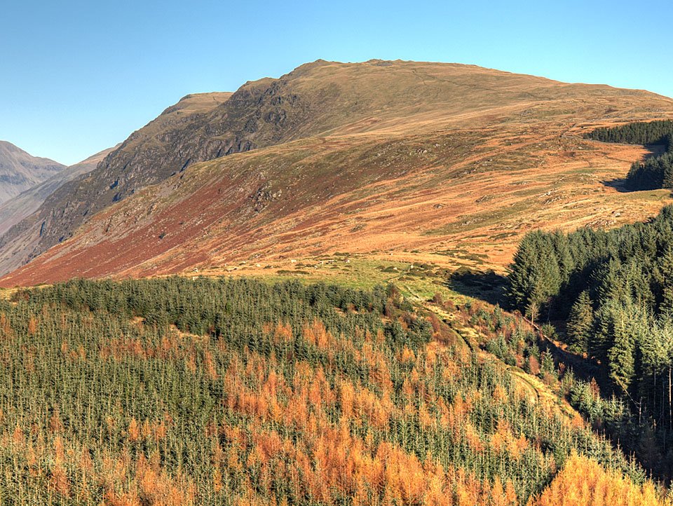
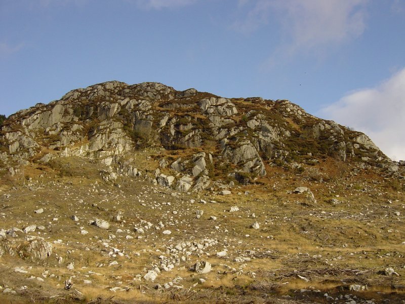
Harter Fell and Green Crag from the climb to Irton Pike. When I set off up this way it looked easy peasy and Dougal seemed quite keen on it to. It was a direct ascent from the start of the felled section, it should no problem at all. Well, it was until about a third of the way up when we encountered the fells trees, the thick gorse, the thick and prickly brambles... an army assault course. Once we were into the thick of it there was no going back and it took twice as long as if I'd gone right round. At one point I was sure I would get through to an enchanted castle and find sleeping beauty. Did anyone hear any loud cursing from over this way yesterday?

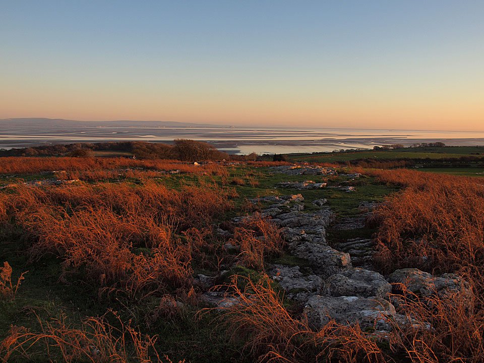
07.11.11-245

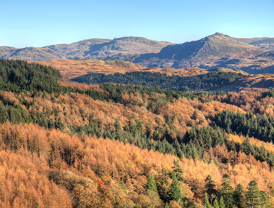
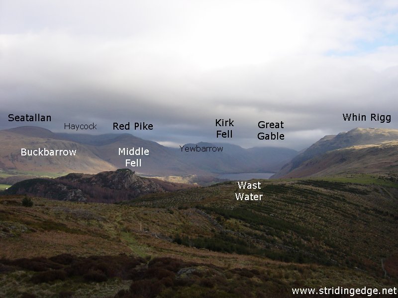
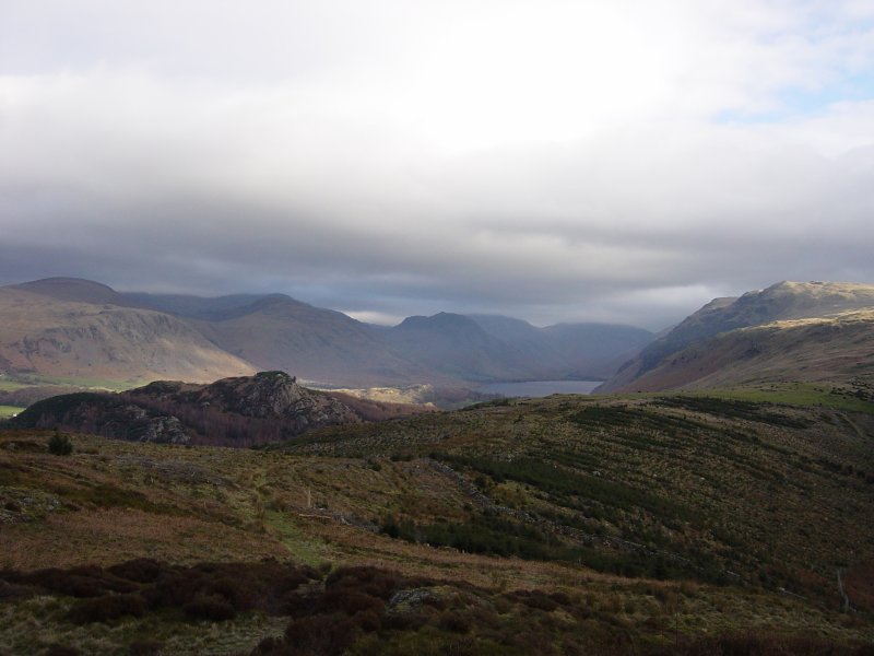
At least the views made up for it! Buckbarrow, Seatallan, Red Pike and Middle Fell from Irton Pike.

07.11.11-248

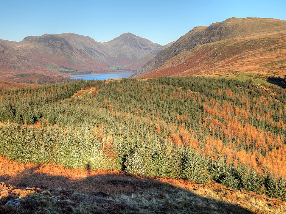
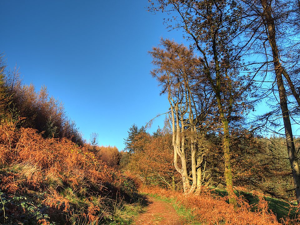
Wasdale, this time from a bit further away. Those trees are growing quickly and the walk is now through an avenue of trees, it feels much more like a forest than last time I was here.

07.11.11-251

Whin Rigg, the top of The Screes.

07.11.11-257

Colourful trees.

07.11.11-263

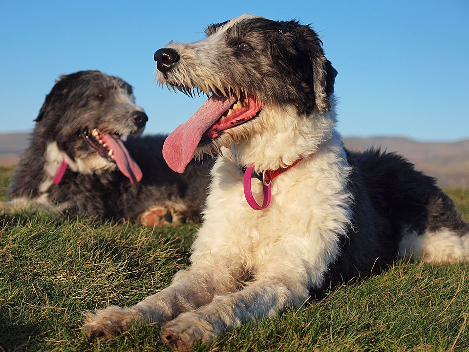
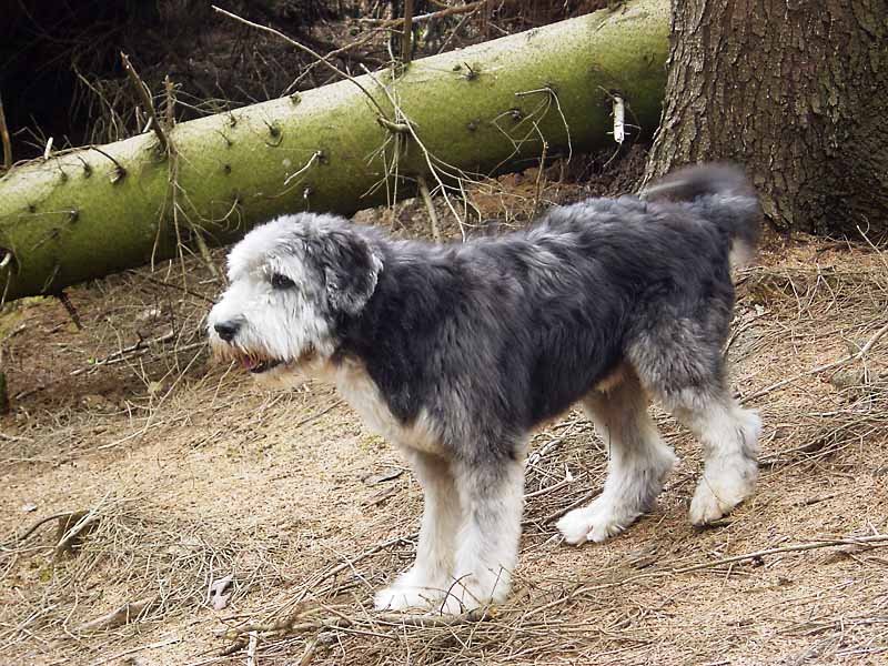
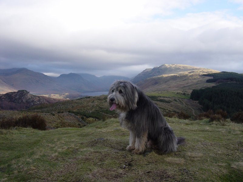
No wonder they have long tongues after that climb.

07.11.11-282

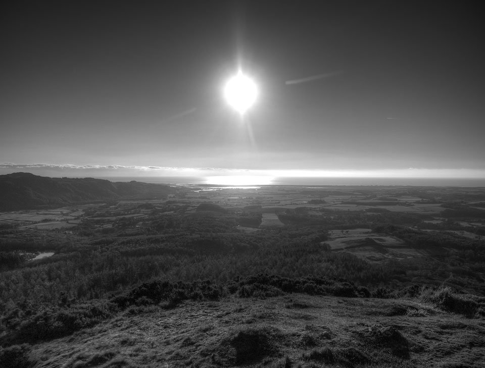
Sun reflected in Morecambe Bay. Keep in mind that big bank of cloud out there.

07.11.11-291

Wast Water and the giants.

07.11.11-315

The way back. On the way home, at Wreaks above Broughton...

07.11.11-321

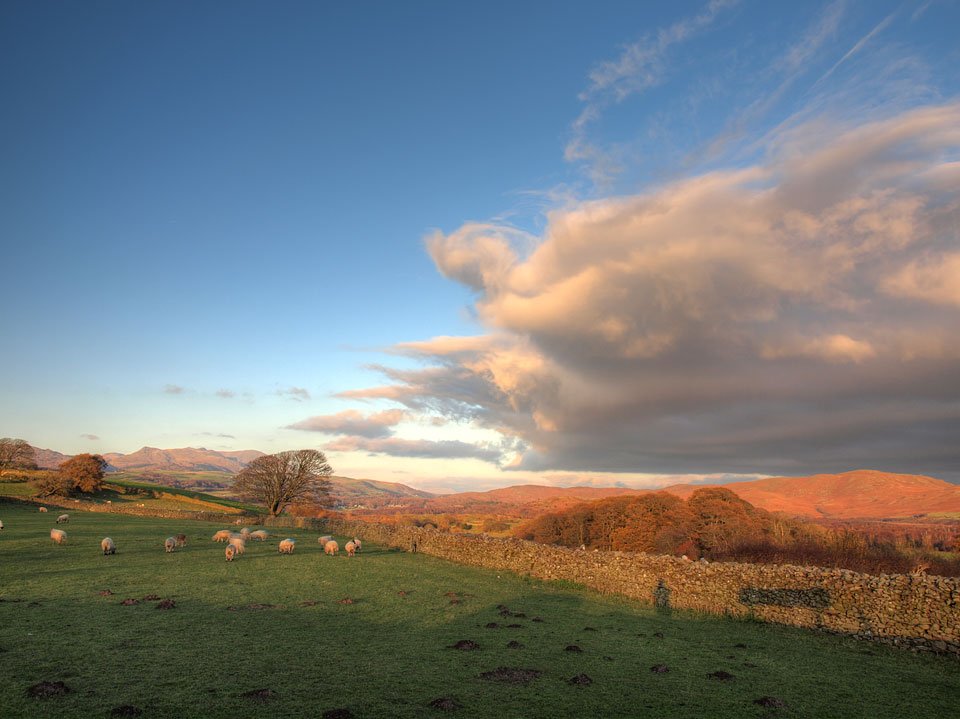
The Hand of Doom reaches out to for the Coniston fells. That big bank of cloud mentioned earlier was now rolling right into the Lake District.

Irton Pike

Walked on 01/08/2005

Start point: Old Quarry car park (NY 121 012)

Old Quarry car park – Irton Pike (OF) – Old Quarry car park

Distance: 1.3 miles     Total Ascent: 125 metres     Time Taken: 1 hour

Weather: Dull but warm and still. 18°C.

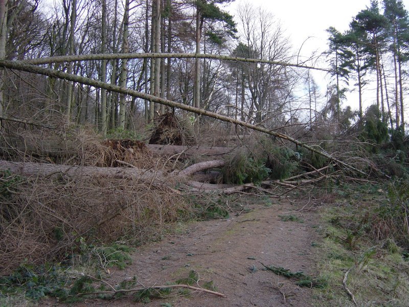
It was grey and overcast yet again this morning but very still and warm, the peacefulness shattered by many RAF jets screaming overhead today. We had a walk up to Irton Pike above Eskdale, the easy walk was made harder by the amount of trees still lying across the paths around the afforested base of Irton Fell.

Irton Pike

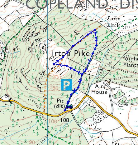
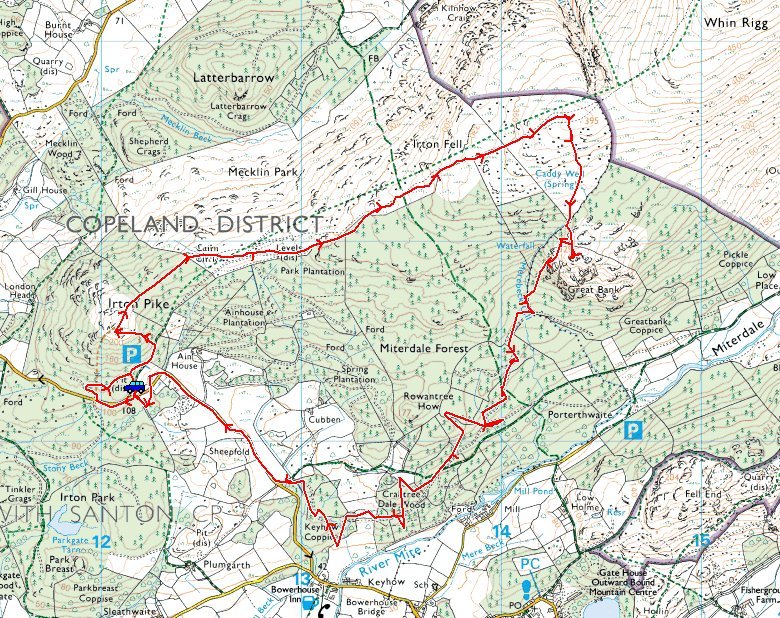
Irton Pike route map.

Irton Pike - 01st August 008

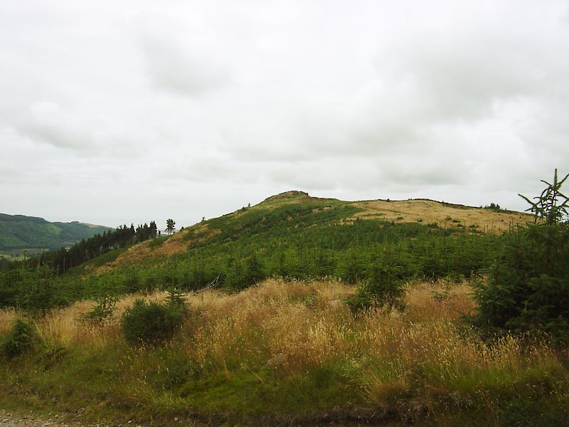
Ascending Irton Pike through the forest - plenty to bark at here.

Irton Pike - panorama1

The long shape of Muncaster Fell from Irton Pike.

Irton Pike - 01st August 015

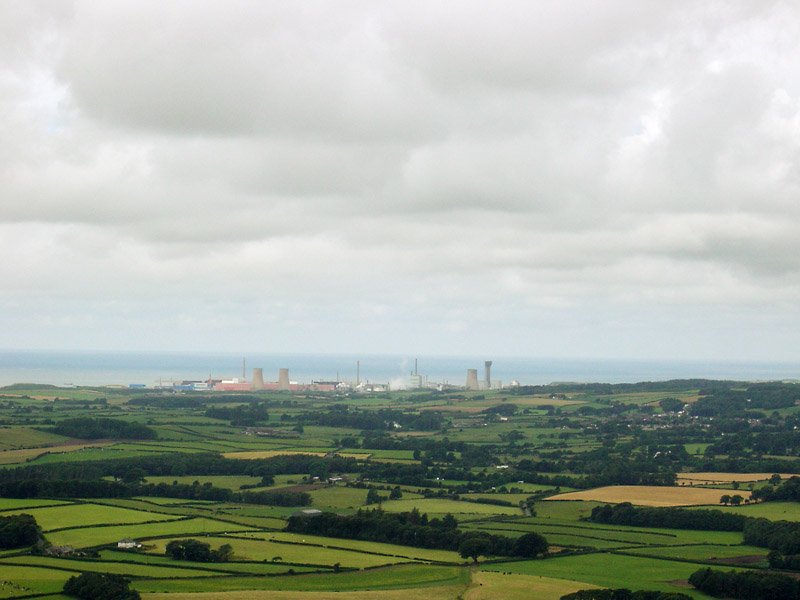
Sellafield and the west Cumbrian coast.

Irton Pike - 01st August 019

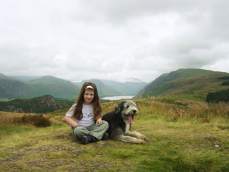
On the summit of Irton Pike looking to Wasdale Head.

Irton Pike - 01st August 024

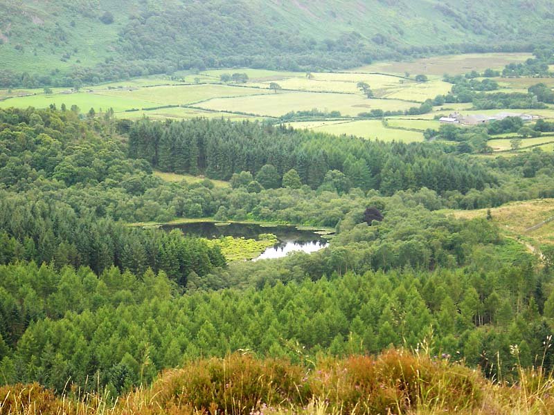
Looking down to Parkgate Tarn.

Irton Pike - panorama3_small

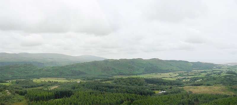
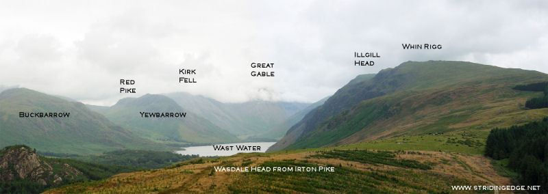
Wasdale Head from Irton Pike.

Irton Pike - 01st August 025

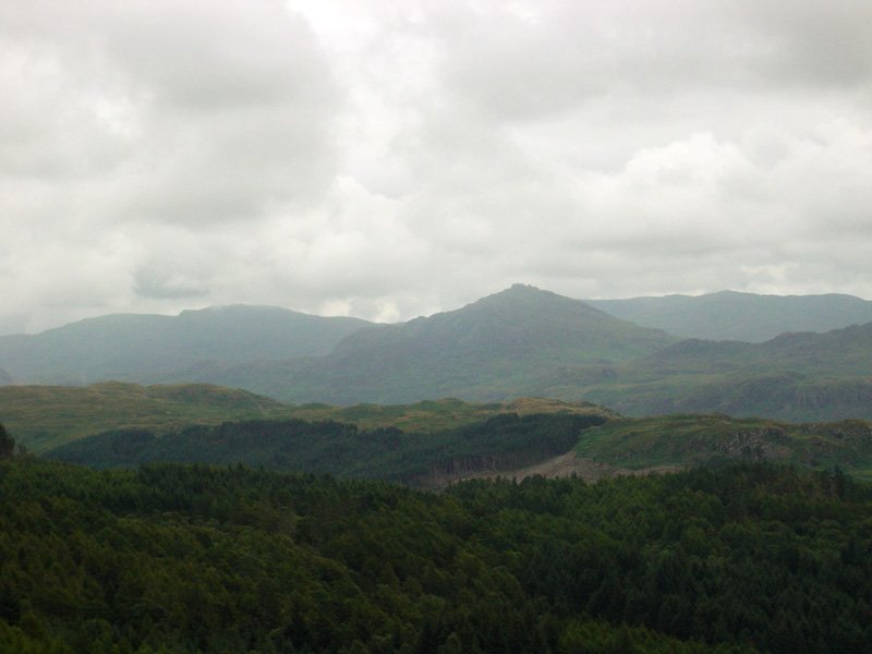
Across Eskdale to Harter Fell and the Coniston fells.

Irton Pike - 01st August 036

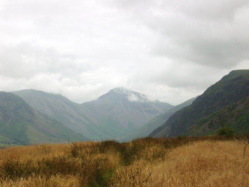
Great Gable makes a brief appearance from the clouds.

Irton Pike - 01st August 042

Irton Pike.

Irton Pike

Walked on 27/01/2005

Start point: Old Quarry car park (NY 121 012)

Old Quarry car park – Irton Pike (OF) – Irton Fell (271) – Great Bank (272) – Old Quarry car park

Weather: Cool and clear.

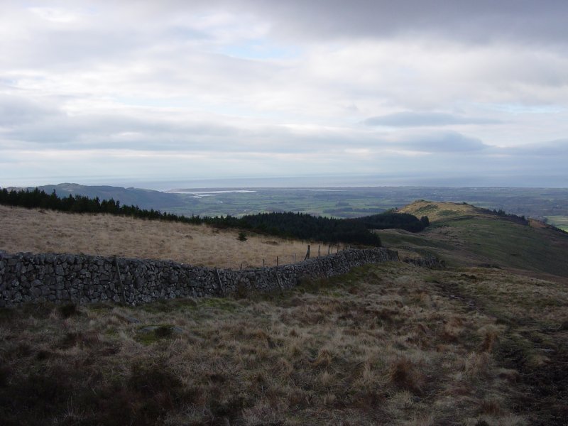
I’m under doctor’s orders today but exercise was recommended so it had to be an easy walk taken at a gentle pace. The Irton Pike/Irton Fell route was ideal as it gives great views of the high fells without being too strenuous. There were still many trees lying around in the Miterdale Forest and the surrounding woods having been blown over by the recent high winds.

01 Irton Pike

Irton Pike route map.

02 elevation

Elevation profile of the route. Key: IP=Irton Pike, IF=Irton Fell, GB=Great Bank.

03 Irton Pike 3D

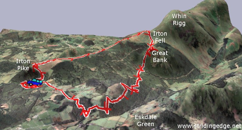
3D image of the walk route.

Dsc03901

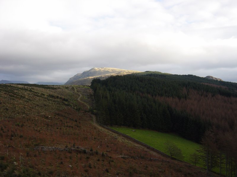
Illgill Head and Miterdale Forest from the ascent of Irton Pike. Great Bank shows above the trees to the right of the photo.

Dsc03908 Annotated

Wasdale Head from Irton Pike - annotated.

Dsc03908

Wasdale Head from Irton Pike.

Dsc03909

Dsc03918

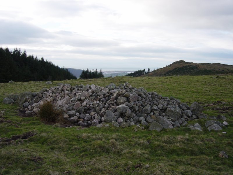
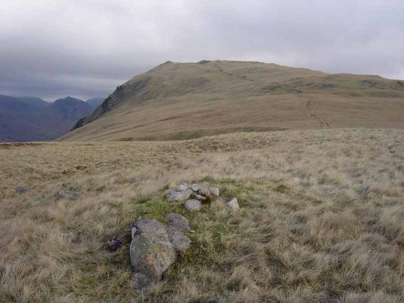
Wainwright wrote '...a massive heap of stones calls for investigation...'. This pile of stones is marked on the map as 'cairn circle' and lies between Irton Pike and Irton Fell. The Ravenglass Estuary can be seen above it with Irton Pike to the right.

Dsc03920

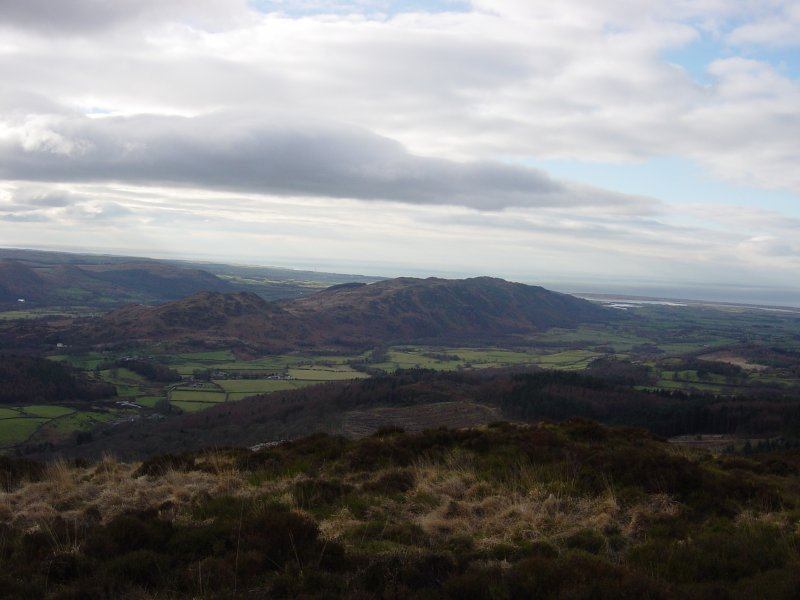
Another view of the River Mite entering the Ravenglass Estuary from higher up. The path looks down to Irton Pike, Muncaster Fell is to the left.

Dsc03923

Whin Rigg from the summit of Irton Fell, Yewbarrow is to the left. I was tempted....

Dsc03933

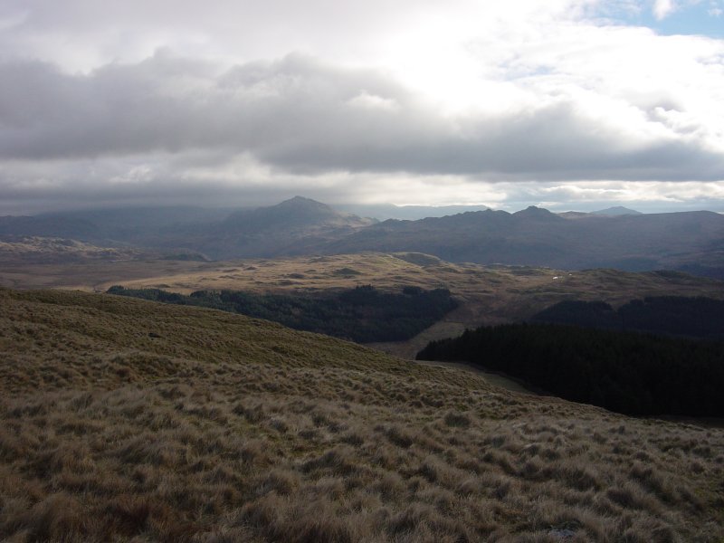
Harter Fell and Green Crag across Eskdale.

Dsc03936

Muncaster Fell from Great Bank.

Dsc03945

The rocky south face of Great Bank.

Dsc03951

There is still much evidence of the devastation caused by the recent high winds.

Walking Diary

  • The Mosedale Horseshoe 01/03/2022
  • Caw 18/01/2022
  • Coniston sunset 17/01/2022
  • Blencathra 15/01/2022
  • Scafell Pike 14/01/2022

Social

  • Facebook
  • Twitter

Information

  • Striding Edge
  • T&C’s
  • Privacy
  • Links