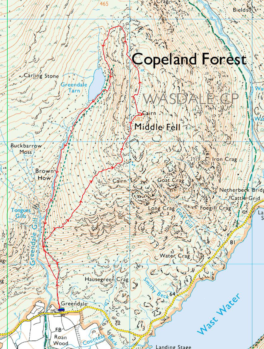
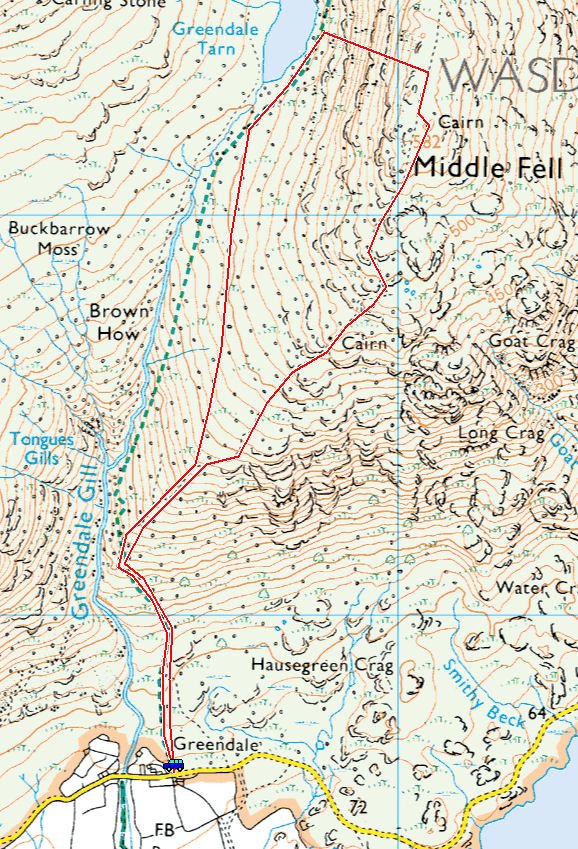
Start point: Greendale (NY 144 056)
Greendale – Middle Fell – Seatallan – Greendale Tarn – Greendale Gill – Greendale
Distance: 8 km Total Ascent: 726 metres Time Taken: 2 hours 30 minutes Start Time: 10:25
Well, 2 walks in 2 years – not bad eh! What fantastic weather this morning as well, much better than I was expecting. When I got to Wasdale the skies were clear and sunny but the cloud was building up over the high fells for the duration of the walk and it eventually caught us up on Seatallan. I can’t grumble at all with that though as it was really quite warm in the glorious sunshine. As ever, the Western side of the Lake District was very quiet and there was hardly a soul around.
Unbelievably, the last time I walked Middle Fell was 2015 and Seatallan 2014!

Wow, what a surprise in Wasdale this morning! I thought conditions would be okay but always a treat top see it this clear.

Just follow the path from Greendale.

A light dusting of snow on Scafell.

It was really quite warm in the sun as indicated by Fletcher's tongue.

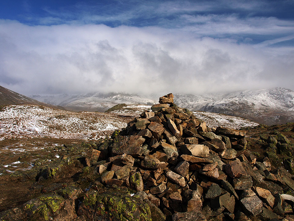
The cloud was starting to build throughout the walk, at least it was clear when I made it to the top of Middle Fell, here looking across Wast Water to the Scafells from the summit cairn.

Yewbarrow and Great Gable are still clear but look at the cloud building to the right of this photo.

Kirk Fell and Great Gable beyond Yewbarrow.

It was gorgeous up here today and no-one about.

Strike a pose Fletcher.

You can never tire of this view....

...fabulous.

Looking towards the West Cumbrian coast.

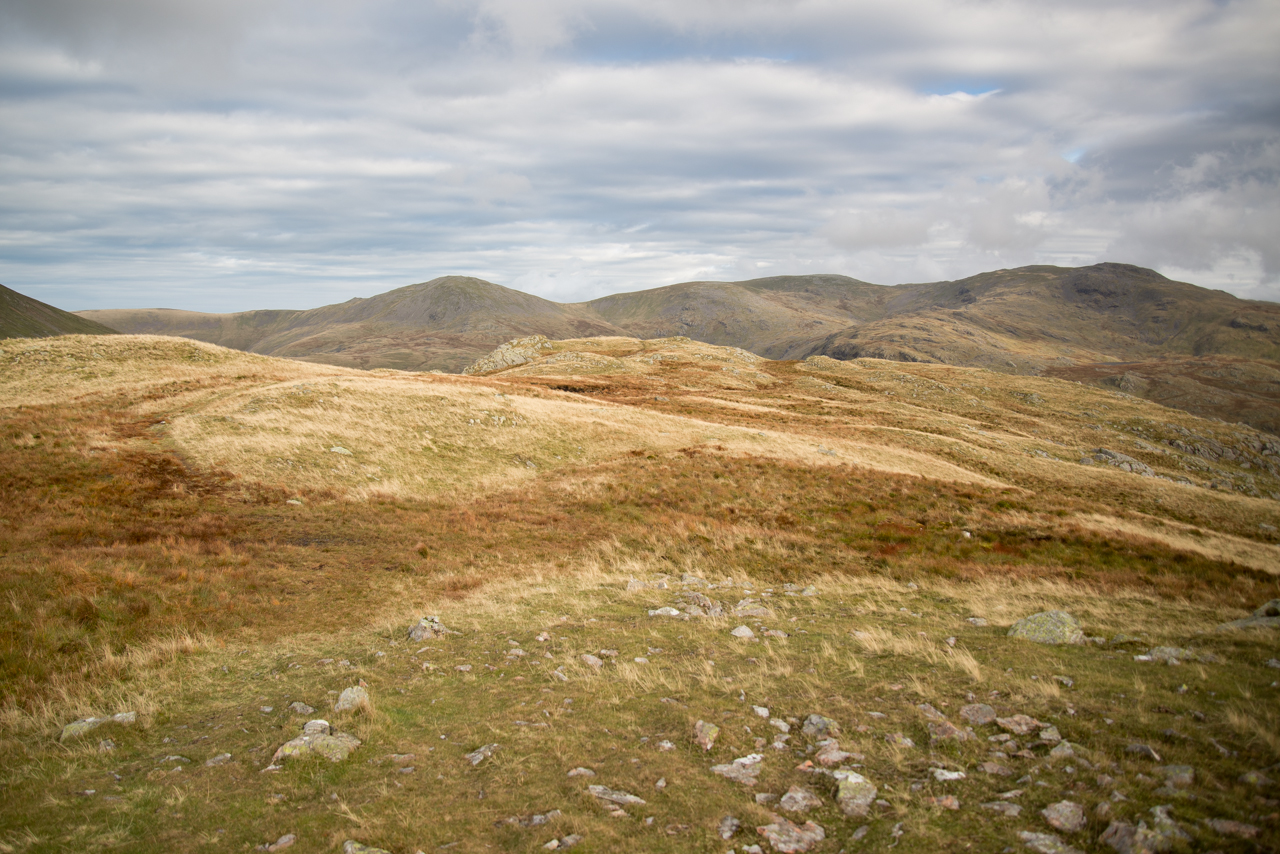
Heading along the Middle Fell summit plateau.

Haycock.

Fletcher is trying to find the best route down and then which way to climb Seatallan.

The Scafells - gone!

This is a steep climb to Seatallan, Fletcher my lad.

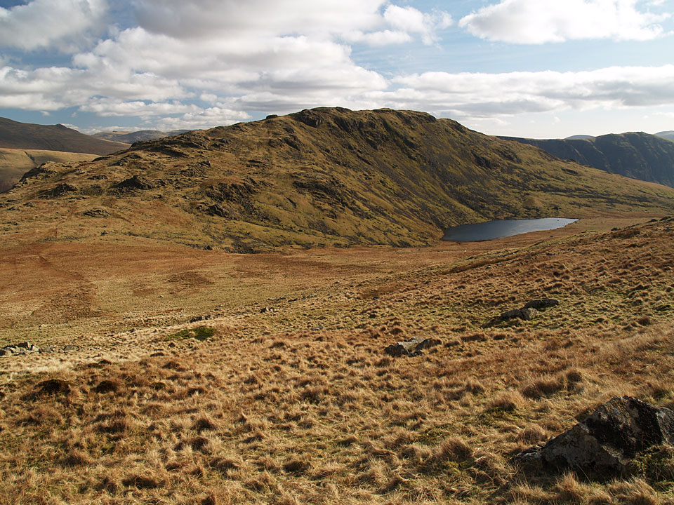
Looking down on Middle Fell and Greendale Tarn.

Seatallan summit - we are being enveloped in cloud now.

The head of Blengdale.

We made a direct descent today rather than following the (probably) more usual route to Glade How and Buckbarrow. When I looked at the map I was close to a named, marked stone on the map (Carling Stone). I never noticed anything and have not noticed it before - I wish I had looked at the map and seen it but will make a note for next time.

Perhaps Fletcher knows which one the Carling Stone is!

Greendale Gill.

A gathering.