Height: 205 metres / 673 feet Grid reference: SD 39008 84825 Category: The Outlying Fells
Newton Fell North
Height: 205 metres / 673 feet Grid reference: SD 39008 84825 Category: The Outlying Fells

Newton Fell North
Walked on
Two short walks this morning to Newton Fell at the Southern end of the Lake District. The first to Newton Fell South starts from the village of Lindale, the summit being Dixon Heights. The second walk to Newton Fell North starts from the Whitestone Caravan site on the main A590 and visits Newton Fell high point and White Stone. This walk follows Wainwright’s Newton Fell chapter in his book ‘The Outlying Fells of Lakeland’, page 52.
Start point: Lindale (SD 413 807)
(i) Newton Fell South (Dixon Heights) (OF) from Lindale
Weather: Foggy at first, clearing later.
There are spaces for parking on the road near to the Royal Oak pub on the way into Lindale. The area around here has significantly changed since Wainwright described the walk in the early seventies in that Lindale now has a bypass. This major dual carriageway cuts through the description given by Wainwright near to the start of the walk and it is an extremely hazardous task crossing this busy road.
I was interested to see how much of the original walk I could follow so I set off as the AW description through a ginnel south of the Royal Oak, past a workshop and into a field with a large pylon but the path ended abruptly due to the dual carriageway here so I followed the path over a stream and past some cottages to come back out onto the main road, north of my starting point – basically a large U around the car. I then carried on up to the dual carriageway, took my life in my hands and crossed over to resume the path over a wall. The large lump ahead is Raven’s Barrow – I made a pathless ascent through thick bracken and gorse (ouch!). With hindsight it would have been better to skirt the foot of it and ascend from the north. Once at the top of Raven’s Barrow, there are views over Lindale and the Kent Estuary, the fog was just starting to clear when I reached here.
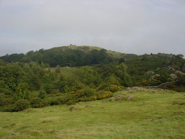
Dixon Heights from Raven's Barrow. Dixon Heights can be seen ahead from the top of Raven's Barrow with the ruined tower perched on its summit. Newton Fell is a sanctuary for wild ponies and I met these while crossing the hollow prior to the ascent of Dixon Heights.
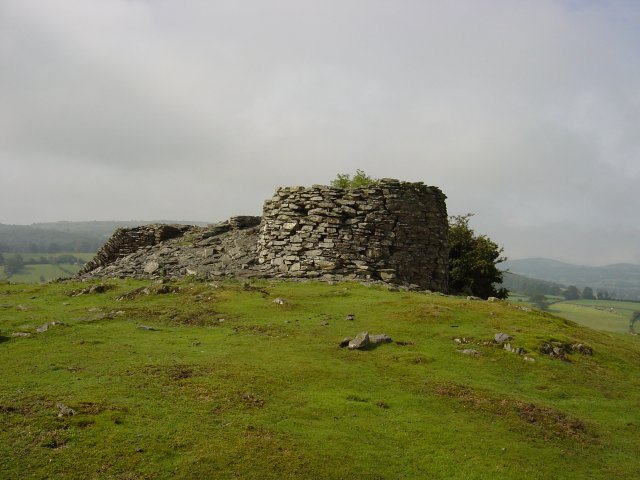
The ruined tower on the top of Dixon Heights. Descending north, a tarn with a wall running through it marks the limit of the walk.
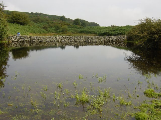
An un-named tarn complete with wall running through it. The path to the left of the tarn adjacent to the wall improves all the way and leads back to the A590 through Eller How. On the way, the path passes by a battlement ruin up to the left.
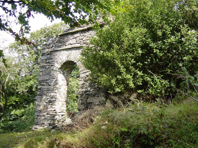
Ruin with battlements, Eller How estate. Taking my life in my hands once again, I crossed the A590 and back towards Lindale along the tarmac. Start point: Lane opposite Whitestone caravan site (SD 392 840) (ii) Newton Fell North (White Stone) (OF) from Whitestone Caravan site The second part of the walk takes in White Stone on Newton Fell. There is road verge parking on the minor road directly opposite Whitestone caravan site. I walked through the site following the public footpath which bears round to the right and leaves the main track to ascend first through woodland and then through bracken. Whilst climbing through the bracken here, I spotted half a dozen red deer further up the slope. I followed the wall up the side of the slope and climbed over it to find high point of Newton Fell. This is marked by a small cairn. I then followed the wall which carries on along the ridge all the way to White Stone through the thick bracken.
Taking my life in my hands once again, I crossed the A590 and back towards Lindale along the tarmac.
Start point: Lane opposite Whitestone caravan site (SD 392 840)
(ii) Newton Fell North (White Stone) (OF) from Whitestone Caravan site
The second part of the walk takes in White Stone on Newton Fell. There is road verge parking on the minor road directly opposite Whitestone caravan site. I walked through the site following the public footpath which bears round to the right and leaves the main track to ascend first through woodland and then through bracken. Whilst climbing through the bracken here, I spotted half a dozen red deer further up the slope. I followed the wall up the side of the slope and climbed over it to find high point of Newton Fell. This is marked by a small cairn. I then followed the wall which carries on along the ridge all the way to White Stone through the thick bracken.
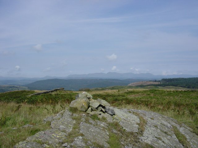
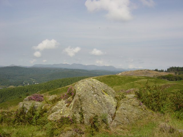
The Coniston Fells from the summit of Newton Fell. Caw is the pyramid left of centre and Dow Crag and Coniston Old Man are either side of the centre vee (Goat's Hawse).
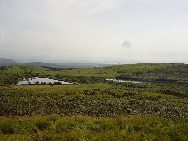
High Newton Reservoirs from Newton Fell. Followed the wall through the bracken across two small depressions, I came to a wall with a stile which gave access to the White Stone enclosure.
