Striding Edge

A photo diary of Lake District fell walks

  • Walks
  • Fells
    • Wainwrights
      • Eastern Fells
      • Far Eastern Fells
      • Central Fells
      • Southern Fells
      • Northern Fells
      • North Western Fells
      • Western Fells
      • Outlying Fells
    • Birketts
  • Dogs
  • Love The Lakes
  • Contact

Owsen Fell

Height: 409 metres / 1342 feet Grid reference: NY 10060 20952
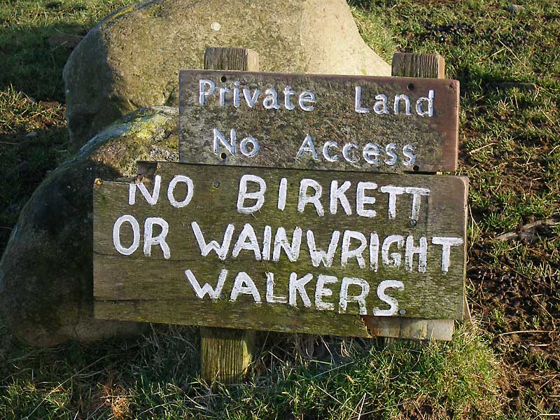
What if you are walking 'The McMahon's'?

What if you are walking ‘The McMahon’s’?

Blake Fell

Walked on 08/02/2006

Start point: Lamplugh (NY 089 209)

Lamplugh – Owsen Fell (452) – Burnbank Fell (453) – Loweswater End on Carling Knott (454) – Carling Knott (455) –Blake Fell (456) – Sharp Knott (457) – High Hows (Lamplugh) (458) – Lamplugh

Distance: 6.7 miles     Total Ascent: 812 metres     Time Taken: 3 hours

Weather: Dull with sunny intervals. 5°.

There was sunshine around the periphery of the Lakes today, but all the fells seemed to be under cloud. I had a walk in the far north-west, above Loweswater which gave some fine views for some quite lowly tops. Not all is friendly for walkers in this area though, as you will see…
Blake Fell

08.02.06-003

The track from Lamplugh to Owsen Fell.

08.02.06-005

...but you're not allowed up there. What if I am walking 'The McMahon's' today?

08.02.06-011

The sun shines on Blake Fell and Sharp Knott, the way of descent later.

08.02.06-014

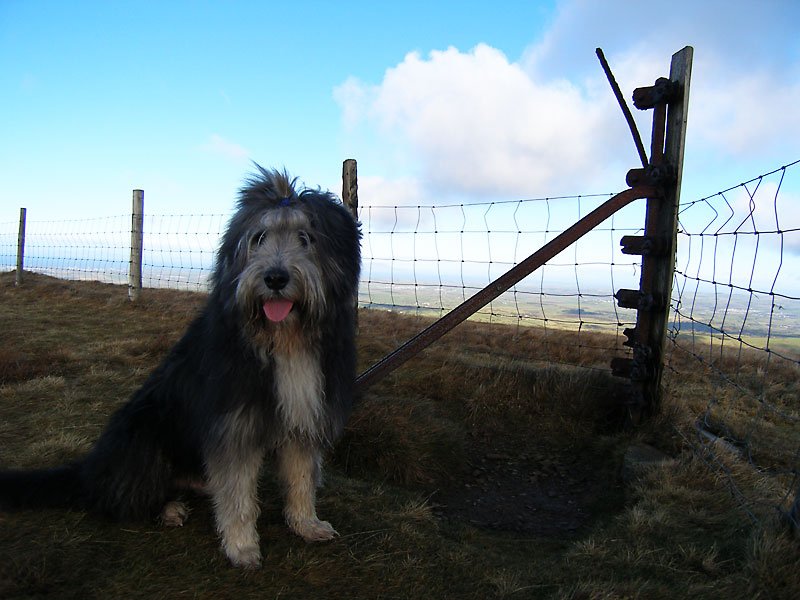
This is a Lake District famous thing on the summit of Burnbank Fell; the metal straining post is quite well known too...!

08.02.06-022

Looking across the Solway Firth to Criffel in Scotland.

08.02.06-034

Angus on Burnbank Fell.

08.02.06-038

Looking over to the Loweswater Fells.

08.02.06-043

Whiteside and Grasmoor from the Loweswater End of Carling Knott.

08.02.06-047

Looking across to Mellbreak, a glimpse of Crummock Water to the left.

08.02.06-055

Loweswater from Carling Knott.

08.02.06-075

A panoramic view of Loweswater.

08.02.06-084

Red Pike and High Stile, their heads in the cloud.

08.02.06-085

The clouds catch the top of Grasmoor.

08.02.06-100

08.02.06-089

The view from Carling Knott, Kirk Fell and Pillar in the clouds on the horizon.

08.02.06-095

The crowded mountain scene on the way to Blake Fell, Fleetwith Pike is between Mellbreak and High Stile.

08.02.06-109

Knock Murton and Cogra Moss from Blake Fell.

08.02.06-113

Fleetwith Pike at the head of Buttermere.

08.02.06-122

The forest path on the way to High Hows.

08.02.06-130

Blue sky now looking at Owsen Fell from High Hows.

08.02.06-134

Contented with the walk?


Walking Diary

  • The Mosedale Horseshoe 01/03/2022
  • Caw 18/01/2022
  • Coniston sunset 17/01/2022
  • Blencathra 15/01/2022
  • Scafell Pike 14/01/2022

Social

  • Facebook
  • Twitter

Information

  • Striding Edge
  • T&C’s
  • Privacy
  • Links