Height: 657 metres / 2156 feet Grid reference: NY 40564 16955 Category: The Far Eastern Fells
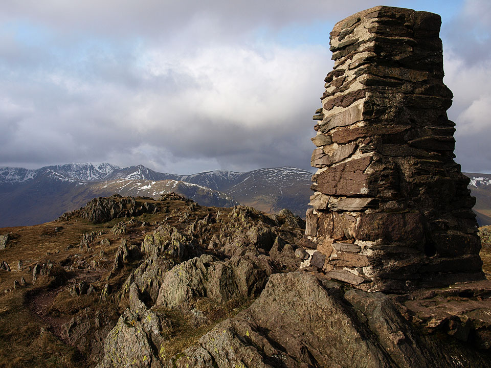
Helvellyn from the summit
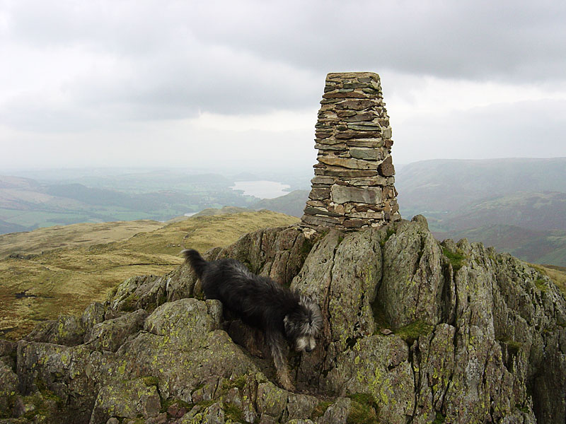
Angus camouflaged on the summit of Place Fell.
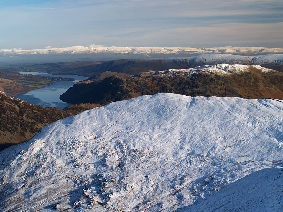
A great view of The Pennines and Ullswater from Catstycam with Place Fell, centre right, over Birkhouse Moor


