Height: 465 metres / 1526 feet Grid reference: NY 50477 13515

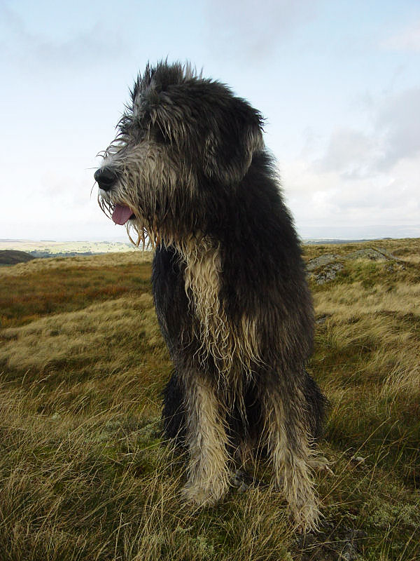
Angus on the summit of Powley’s Hill
Height: 465 metres / 1526 feet Grid reference: NY 50477 13515

Angus on the summit of Powley’s Hill
Walked on
Start point: Swindale (NY 526 157)
Swindale – Scalebarrow Knott (415) (OF) – Harper Hills (416) (OF) – Powley’s Hill (417) – Hare Shaw (418) (OF) – Naddle High Forest (419) – Wallow Crag (420) – Naddle Low Forest (421) – Hugh’s Laithes Pike (OF) – Swindale
Distance: 8.5 miles Total Ascent: 717 metres Time Taken: 3 hours 15 minutes
Weather: Mixed – sunny but cold with the odd drizzly shower. 10°C.
I continued with my Wainwright Outlying fell quest today with a walk around the Naddle Valley above Haweswater Dam and the Mardale Valley. Haweswater, of course, is a flooded valley which is used as the Manchester water supply and evidence of the aqueduct and construction paraphernalia abound, even though it was built over 80 years ago.
