Height: 338 metres / 1109 feet Grid reference: NY 14926 17778

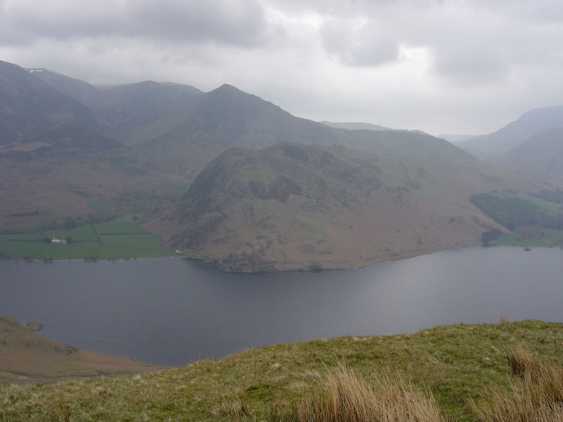
Rannerdale Knotts across Crummock Water from Scale Knott
Height: 338 metres / 1109 feet Grid reference: NY 14926 17778

Rannerdale Knotts across Crummock Water from Scale Knott
Walked on
Start point: Loweswater (NY 147 214)
Loweswater – North Top of Mellbreak – South Top of Mellbreak – Scale Knott – High Ling Crag – Iron Stone – Loweswater
Distance: 5.3 miles Total Ascent: 530 metres Time Taken: 3 hours 15 minutes
Weather: Overcast turning to strong winds and showers. 6°C.
The forecast was for worsening weather throughout the day and the rain clouds were always threatening during today’s walk with friends
Roger and Ann Hiley and their dogs Harry and Bethan up to their local fell, Mellbreak. Once at the top of the steep section and onto the summit ridge, the wind really picked up making the going tough at times and the rain well and truly arrived by the time we descended to the lovely lakeside path back to Loweswater. Thanks to Roger and Ann for a great walk today.

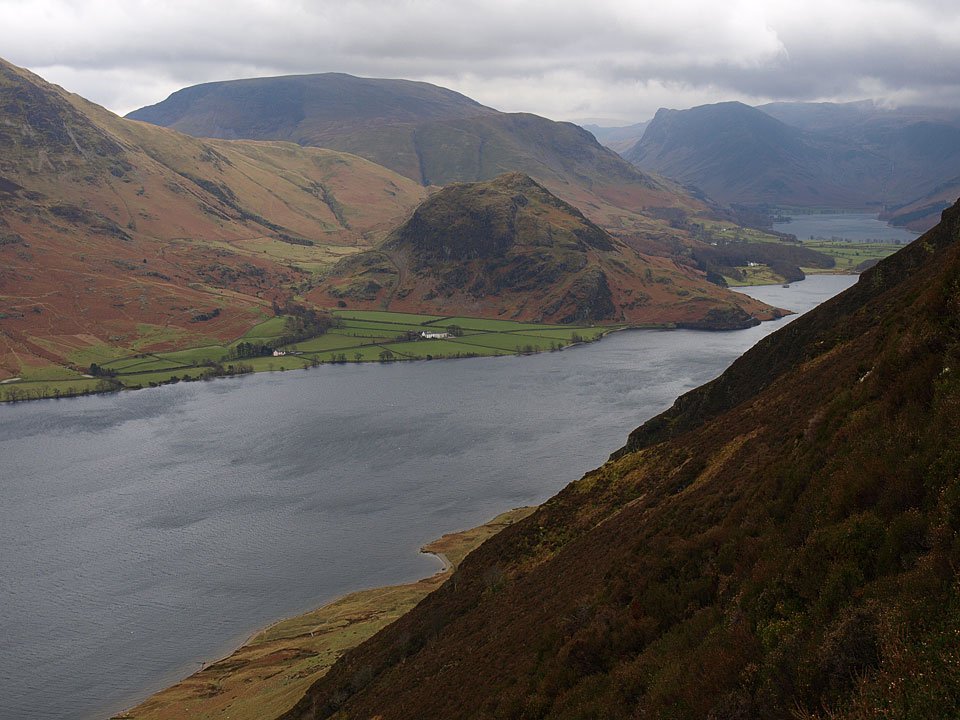
"A lovely peep around the corner" said Wainwright, and who would argue with that? Rannerdale Knotts is central with Robinson behind and Fleetwith Pike to the right at the end of Buttermere.
Walked on
Start point: Loweswater (NY 147 214)
Loweswater – North Top of Mellbreak (340) – South Top of Mellbreak (341) – Scale Knott (342) – Mosedale – Hen Comb(343) – Little Dodd (Loweswater) (344) – Loweswater
Distance: 8.7 miles Total Ascent: 857 metres Time Taken: 3 hours
Weather: Mild, overcast. 12-14oC.
The blue skies of yesterday had gone again by this morning to be replaced by the more usual leaden, grey variety. I think I picked the brightest place in the whole Lake District for a walk today from Loweswater up to Mellbreak and back along the other side of Mosedale along the Hen Comb ridge.
I called in on Roger and Ann Hiley at Oak Cottage, Loweswater who joined me for the initial stage of the walk up to Mellbreak with their two dogs Harry and Bethan.
Walked on
Scalehill Bridge – Loweswater – Mellbreak (133) – Scale Knott – Starling Dodd (134) – Great Borne (135) – Floutern Tarn – Hen Comb (136) – Gavel Fell (137) – Blake Fell (138) – Burnbank Fell (139) – Holme Wood – Loweswater – Scalehill Bridge
From AW 'The Western Fells' - "A negative signpost (intended to help motorists) Kirkstile Inn road junction.
View from the ascent of Mellbreak looking towards Loweswater with Low Fell to the right. Note the ancient earthworks in the centre.
Wainwrights "...a lovely peep around a corner..." from Mellbreak on the direct ascent from Loweswater.
Starling Dodd summit looking towards Pillar. Note the ironwork has been separated from the stone in the main summit cairn.

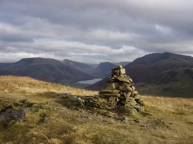
Hen Comb summit looking over Buttermere. Background L-R: Robinson, Dale Head, Fleetwith Pike and Starling Dodd.
