Height: 422 metres / 1384 feet Grid reference: SD 14587 89263
Looking towards the west Cumbrian coast from Stoneside Hill summit
Height: 422 metres / 1384 feet Grid reference: SD 14587 89263
Looking towards the west Cumbrian coast from Stoneside Hill summit
Start point: Corney Fell road (SD 150 896)Corney Fell road – Stoneside Hill – Charity Chair – Stoupdale Head (OF) – Black Crag – Raven Crag – Corney Fell road
Distance: 4.5 miles Total Ascent: 300 metres Time Taken: 2 hours
Weather: Grey, overcast and windy. 13oC.
It was a grey start to the day again today with plenty of rain and fast moving clouds around. I decided to stay relatively low and visit a pretty much unfrequented area to the south of the Corney Fell road, Swinside Fell. This was a really boggy route and quite hard going with only occasional, fleeting views of anything – and it felt so cold, almost (dare I say it?) Autumnal…


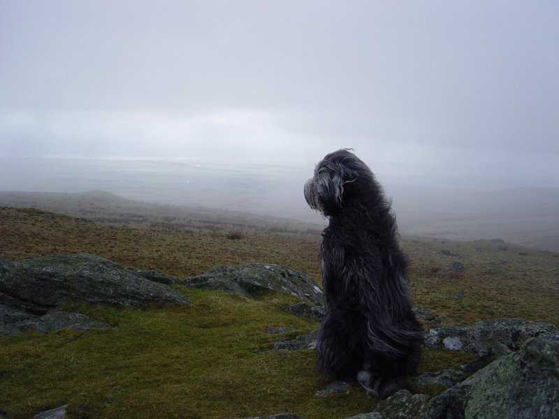
We couldn't see a thing in the mist on Stoneside Hill.

The mist suddenly clears for a while looking over to Hentoe Hill and Black Combe.

Charity Chair.

Looking back to Stoneside Hill, now out of the mist.

Plenty of bogs to roll in around here Casper!

The mist rolled back in again all the way to Stoupdale Head but suddenly cleared again at Derry, looking along Whicham Beck.

It's a bit windy up here!

Yep!

Knott Hill and the Duddon Estuary from Black Crag.

A panoramic view from Raven Crag - Swinside Farm below with Swinside Stone Circle, centre, and Knott Hill.

Something's going on in the Circle.

A storm brewing on the Coniston fells.

Couldn't see this at the start of the walk - the route to Stoneside Hill.
Start point: Corney Fell road (SD 150 896)
Corney Fell road – Stoneside Hill (251) – Great Paddy Crag – Buck Barrow – Kinmont Buck Barrow – Corney Fell road and then Burney (OF)
Weather: Overcast, cold.
Today’s walk was a short one from the Corney Fell road – no views whatsoever from any of the peaks visited, in complete contrast to the weather round here yesterday.


Stoneside Hill from the Corney Fell road.

Looking towards the west Cumbrian coast from Stoneside Hill summit.

Which way down from Buck Barrow? On the way home, I could see the clouds hanging in the Crake valley - it was worth a short ascent to Wainwright Outlying fell Burney for a better view.

Beacon Fell to the left and the clouds forming in the Crake Valley.

The southern end of the Crake Valley.

The Duddon Estuary.

Windmills on Kirkby Moor from Great Burney.

