Height: 535 metres / 1755 feet Grid reference: NY 15200 03442 Category: The Southern Fells
Whin Rigg is more commonly known from the Wasdale side as The Screes, which fall to Wast Water.
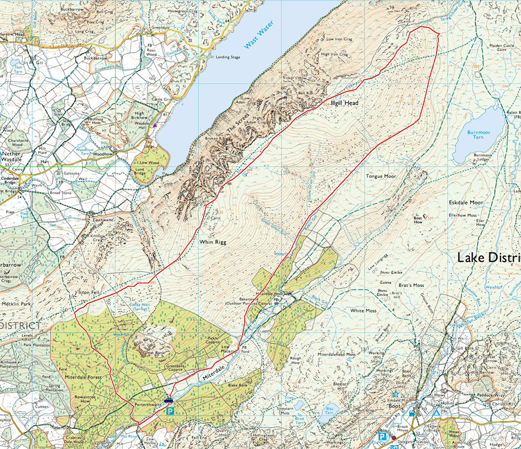
The view from the summit of Whin Rigg
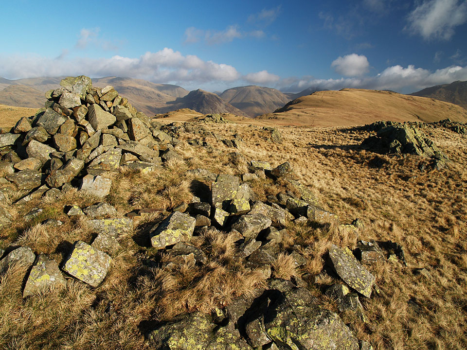
Whin Rigg ahead from Irton Fell
Whin Rigg