Striding Edge

A photo diary of Lake District fell walks

  • Walks
  • Fells
    • Wainwrights
      • Eastern Fells
      • Far Eastern Fells
      • Central Fells
      • Southern Fells
      • Northern Fells
      • North Western Fells
      • Western Fells
      • Outlying Fells
    • Birketts
  • Dogs
  • Love The Lakes
  • Contact

White How on Birker Fell

(or White Crag)

Height: 444 metres / 1457 feet Grid reference: SD 20500 97438

All the colours - Green Crag from White How

All the colours – Green Crag from White How
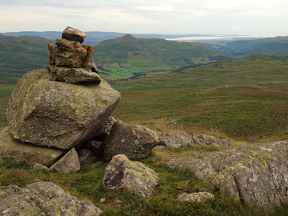
 

Stickle Pike and the Duddon Estuary from White How

Stickle Pike and the Duddon Estuary from White How

Green Crag

Walked on 12/07/2010

Start point: Birker Fell road (SD 175 972)

Birker Fell Road – Little Crag – Great Crag on Birker Fell – Black Crag – Broad Crag –  Green Crag – White How on Birker Fell – Far Hill – Great Worm Crag (OF) – Rough Crag – Birker Fell Road

Distance: 4.6 miles     Total Ascent: 365 metres     Time Taken: 2 hours     Start Time: 09:55

Weather: Overcast. 17C

Well, after the long hours sorting out Love the Lakes in Keswick – some in the shop and lots at home as well – it was good to get out on the fells once more and Casper and Dougal were certainly wound up like coiled springs and when I let them out of the car there was no stopping them. This was a good little walk; it was dull and grey but at least it was fine. The rain over the weekend meant the ground was sodden once more and I did manage to get a good boot full crossing Highford Beck near the beginning of the walk!
 

Green Crag

Green Crag route map.

12.07.10-002

...and they're off! Freedom for the boys.

12.07.10-003

Heading for Little Crag in the dog vs sheep showdown.

12.07.10-009

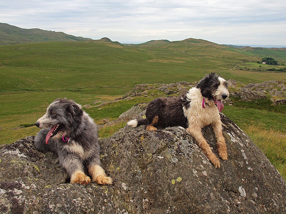
Dougal and Casper on Little Crag sport their new Striding Edge silicon bands (see below). Want one? Details coming soon, they can be worn on your wrist or attached to your rucksack so you can identify fellow StridingEdge and Love the Lakes followers.

falcon marketing - 44718

The Band.

12.07.10-019

Looking at Great Crag from Little Crag, we are going to climb that rake to the right.

12.07.10-026

Heading for the rake on Great Crag.

12.07.10-030

Climbing the steep rake - Angus Rake I will name it as it made me think of him and when we climbed that way...

14.12.05-006

12.07.10-032

Casper has found a lofty perch up there.

12.07.10-033

Looking back over Little Crag to Devoke Water.

12.07.10-035

The Scafells and Upper Eskdale from Great Crag.

12.07.10-037

Green Crag ahead, where we are heading for next.

12.07.10-041

Scafell and Slight Side, Low Birker Tarn in the foreground.

12.07.10-043

Green Crag from Broad Crag.

12.07.10-049

Haystacks or Crook Crag and Green Crag?

12.07.10-057

A wonderful panorama from Green Crag.

12.07.10-076

Harter Fell across Ulpha Fell from Green Crag.

12.07.10-077

Upper Eskdale to Bowfell and Crinkle Crags.

12.07.10-083

Dougal is a Friend of LovetheLakes.net.

12.07.10-087

The view from the southern summit.

12.07.10-098

Stickle Pike and the Duddon Estuary from White How.

12.07.10-102

Dow Crag and the Coniston Fells.

12.07.10-106

Green Crag and Harter Fell from the climb to Great Worm Crag.

12.07.10-109

Devoke Water from Great Worm Crag.

12.07.10-128_stitcht

A 360 panoramic from Great Worm Crag.

12.07.10-135

Ancient Cairn and The Pike from Rough Crag.

12.07.10-144

Looking back to Great Worm Crag and Rough Crag.

12.07.10-147

Boundary Stone - Ulpha and Birker.

Green Crag

Walked on 08/06/2007

Start point: Brown Rigg on the Birker Fell road. (SD 181 962)

Birker Fell Road (Brown Rigg) – Little Crag – Great Crag on Birker Fell – Black Crag – Broad Crag –  Green Crag – White How on Birker Fell – Far Hill – Great Worm Crag (OF) – Rough Crag – Birker Fell Road (Brown Rigg)

Distance: 4.8 miles     Total Ascent: 355 metres     Time Taken: 2 hours

Weather: Overcast and grey. 20oC.

It was really overcast and grey this morning but quite warm and muggy. We had a shorter walk than yesterday across Birker Moor visiting some of the many rocky outcrops on this rough area between the Duddon Valley and Eskdale. On a better day, the views are extensive from here; today they were virtually non-existent.
Green Crag

08.06.07-005

Casper makes a run for Little Crag with Great Crag beyond.

08.06.07-009

I can still see you!

08.06.07-018

Great Crag from Little Crag, the grassy rake to the right is the way up.

08.06.07-019

Casper and Angus on Great Crag.

08.06.07-032

Not much of a view today, here looking over Birkerthwaite.

08.06.07-039

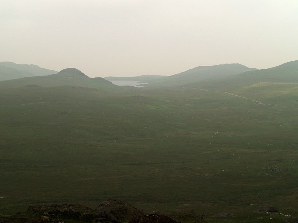
I could just about see Devoke Water from here with the line of the road to Eskdale curving in front of it.
08.06.07-056

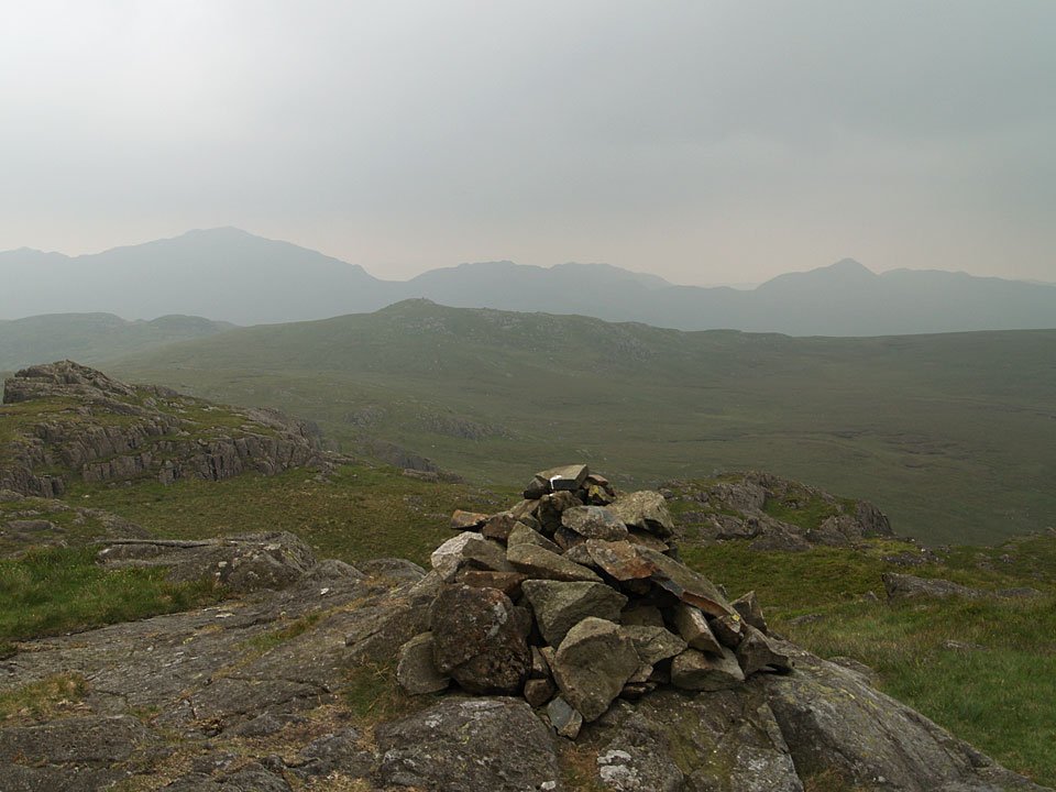
Green Crag. I climbed up to the extreme right and along the ridge.

08.06.07-059

A familiar silhouette of Harter Fell from Green Crag.

08.06.07-062

Looking to the south from Green Crag. The distant fells are Caw and Stickle Pike with the next target, White How, in front.

08.06.07-069

Great Worm Crag from White How.

08.06.07-071

Looking back to Green Crag.

08.06.07-080

The sun is starting to break through on Green Crag now as I reach Far Hill on the way to Great Worm Crag. Typical!

08.06.07-078

Green Crag.

08.06.07-086

Great Worm Crag from an ancient cairn on Rough Crag.

Great Worm Crag

Walked on 14/12/2005

Start point: Brown Rigg on the Birker Fell road. (SD 181 962)

Birker Fell Road (Brown Rigg) – Little Crag – Great Crag on Birker Fell – White How on Birker Fell – Great Worm Crag (OF) – Rough Crag – Birker Fell Road (Brown Rigg)

Distance: 3.6 miles     Total Ascent: 324 metres     Time Taken: 1 hour 45 minutes

Weather: Bright and sunny. 7ºC.

It was a bit brighter this morning for a short walk around little visited Birker Fell, the high point of the walk being the intriguingly named Great Worm Crag. Great views today but conditions were changing rapidly on the high fells with the cloud seemingly appearing and disappearing every half hour.

a.  Great Worm Crag.jpg
b. 14.12.05-001.jpg
c. 14.12.05-006.jpg
d. 14.12.05-022.jpg
e. 14.12.05-053.jpg
f. 14.12.05-026.jpg
g. 14.12.05-032.jpg
h. 14.12.05-074.jpg
i. 14.12.05-103.jpg
j. 14.12.05-106.jpg
k. 14.12.05-111.jpg
l. 14.12.05-115.jpg
m. 14.12.05-117.jpg
n. 14.12.05-121.jpg
o. 14.12.05-124.jpg
p. 14.12.05-125.jpg
q. 14.12.05-132.jpg
r. 14.12.05-133.jpg

Great Worm Crag

Walked on 22/11/2004

Start point: Brown Rigg on the Birker Fell road. (SD 181 962)

Birker Fell Road (Brown Rigg) – Little Crag – Great Crag on Birker Fell (221) – Broad Crag on Birker Fell (222) – White How on Birker Fell (223) – Great Worm Crag (224) (OF) – Rough Crag – Birker Fell Road (Brown Rigg)

Weather: Overcast and windy with showers.

Today’s walk is a circuit of the knobbly and boggy Birker Fell and it follows a hybrid version of Wainwright’s Great Worm Crag chapter in his book ‘The Outlying Fells of Lakeland’, page 136. This area is a virtually pathless, boggy waste and the many grassy hummocks complete the scene. I’m certain that on a clear day the views to the Sca Fell range would be superb…

Birker Fell

Dsc02892

The approach to Great Crag, right, Little Crag is to the left.

Dsc02893

Crossing Highford Beck.

Dsc02895

Looking down to Birkerthwaite and over the Eskdale Valley from Little Crag. Illgill Head and Whin Rigg are on the horizon in the cloud.

Dsc02896

The rocky tor of Great Crag. I climbed the green scar on the right.

Dsc02898

Great Crag summit

Dsc02907

Broad Crag summit looking to White Crag and Great Worm Crag

Dsc02904

Broad Crag.

Dsc02914

Harter Fell from the summit of White How.

Dsc02916

Green Crag from White How.

Dsc02922

The summit of Great Worm Crag.

Dsc02929

Stickle Pike and The Dunnerdale Fells, left, with The Pike to the right behind the ancient cairn on Rough Crag.

Birker Fell 3D

Walking Diary

  • The Mosedale Horseshoe 01/03/2022
  • Caw 18/01/2022
  • Coniston sunset 17/01/2022
  • Blencathra 15/01/2022
  • Scafell Pike 14/01/2022

Social

  • Facebook
  • Twitter

Information

  • Striding Edge
  • T&C’s
  • Privacy
  • Links