Height: 598 metres / 1962 feet Grid reference: SD 24912 95563
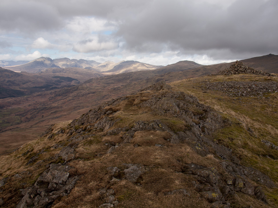
White Pike
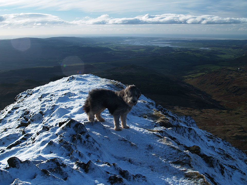
Angus on White Pike, the Duddon Estuary beyond
Height: 598 metres / 1962 feet Grid reference: SD 24912 95563

White Pike

Angus on White Pike, the Duddon Estuary beyond
Walked on
Start Point: Kiln Bank Cross (SD 215 933)
Seathwaite – Park Head Road – Caw (OF) – Pikes (OF) – White Pike – White Maiden – Walna Scar (OF) – Walna Scar Road – Seathwaite
Distance: 7.8 miles Total Ascent: 773 metres Time Taken: 3 hours 20 minutes Start Time: 13:00
Weather: Generally overcast, 17°C
The weather was supposed to clear later in the day, unfortunately that never materialised but I was enjoying the fresh air so much I extended a planed shorter walk to Caw by linking it to the Coniston fells. It was an unusual route but it was worth it to see if it could be done (the answer is yes, but recommended? Probably not!).
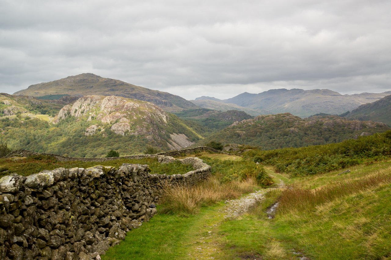
Looking back along the Duddon Valley, Bowfell at its head. Shortly after this the path doubles back on itself to climb Caw.
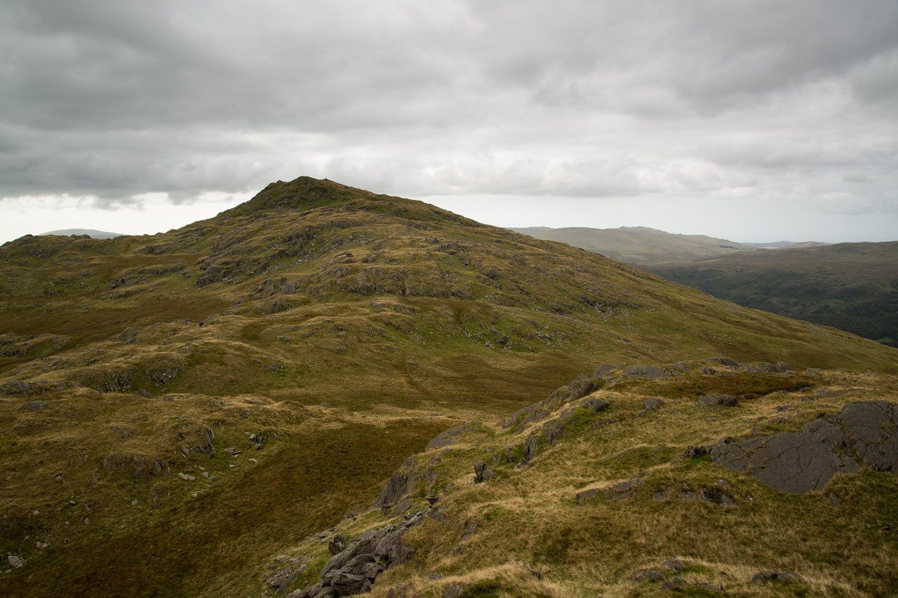
The next stop was Pikes, a conspicuous peak between Caw and White Pike, here looking back towards Caw from the summit.
Walked on
Start point: Long House at the foot of the Walna Scar Road near Seathwaite, Duddon Valley (SD 239 968)
Long House – Walna Scar road – White Pike – White Maiden – Walna Scar (OF) – Walna Scar Road – Long House
Distance: 3.5 miles Total Ascent: 460 metres Time Taken: 1 hours 30 minutes Start Time: 13:30
Weather: A real mixed bag but generally a cold wind. 5C
The snow seems to have disappeared from all the south western fells now. Today was a real mixed bag of weather but an enjoyable climb up through the Walna Scar Quarries up to White Pike and White Maiden. It seems like ages since I have been this way so it was a welcome (if a bit fresh) return.
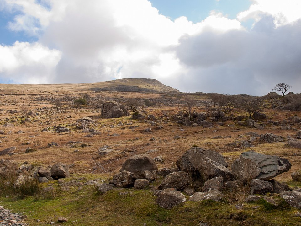
There's a touch of blue sky up there, looking up to White Pike from the bottom of the Walna Scar Road.
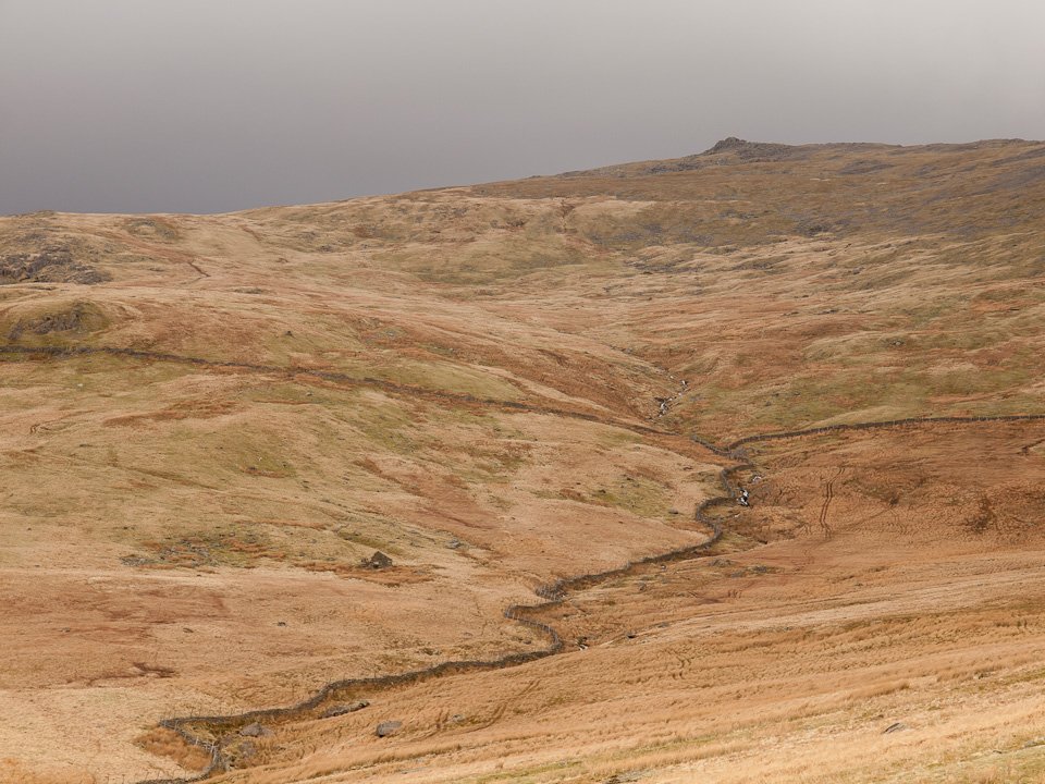
The gentler south western side of Dow Crag. You would never guess what the eastern face of it was like from here.
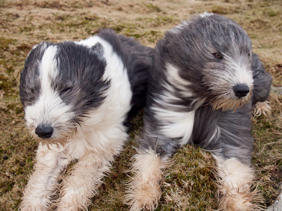
From the quarry it is a steep and direct climb to White Pike. The wind really picked up climbing up here (as Casper and Dougal demonstrate) and with it came the rain.
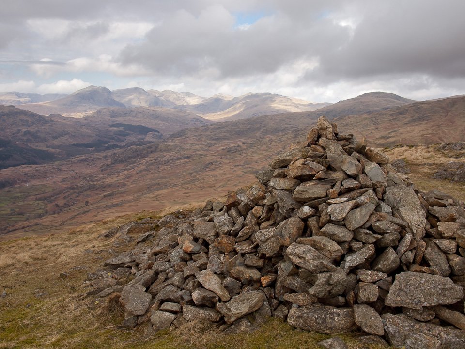
...but the strong wind blew the clouds right away by the time I reached the summit cairn of White Pike and the Scafells are magically revealed once more.
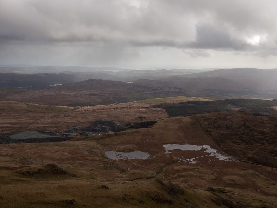
Broughton Moor Slate Quarry below, beyond is Beacon Fell and Beacon Tarn with a glimpse of Coniston Water.
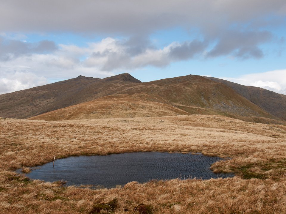
Heading for the small lump of Walna Scar looking to Dow Crag, Buck Pike and Brown Pike. On the distant right is The Old Man.
Walked on
Start point: Long House at the foot of the Walna Scar Road near Seathwaite, Duddon Valley (SD 239 968)
Long House – Walna Scar road – White Pike – White Maiden – Walna Scar – Brown Pike – Buck Pike – Dow Crag – Seathwaite Tarn – Long House
Distance: 7 miles Total Ascent: 700 metres Time Taken: 3 hours 15 minutes
Weather: Snowy and cold wind with sunny spells. 4°C
It was sunny, snowy and cold up on the Coniston fells this morning and it was nice to get above the snow line and tread the crisp, new snow in sunshine for a while. The wind was constantly blowing in snow showers up on the Dow Crag ridge and it looks like there is more to come. I had intended to walk round to Grey Friar and descend that way but the ominous clouds and heavy snow showers put paid to that idea!
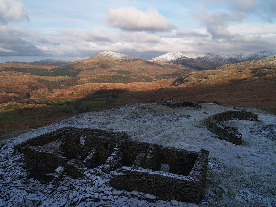
Above the snow line and above the ruins of Walna Scar Quarries looking to Harter Fell, the Scafell range covered by cloud. The wind was really strong and very cold from here - an icy blast.
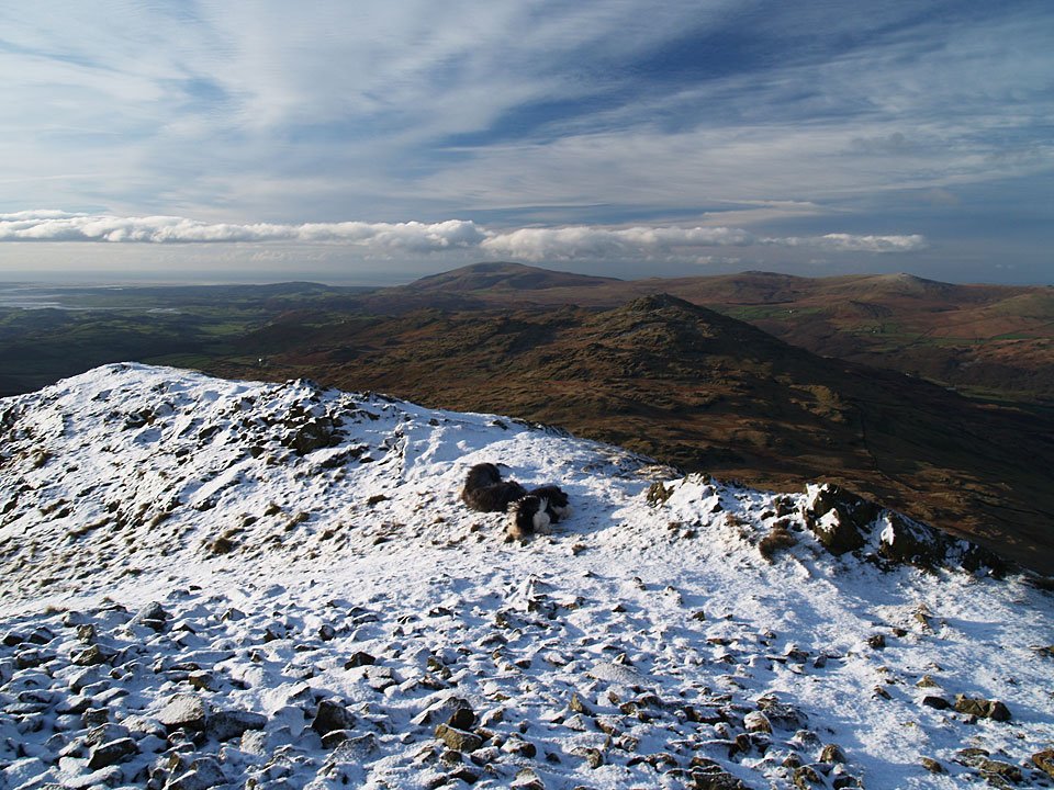
A contrast in colours on the aptly named White Pike looking across to Caw with Black Combe beyond. I think Angus and Casper are trying to shelter from the oh-so cold wind!
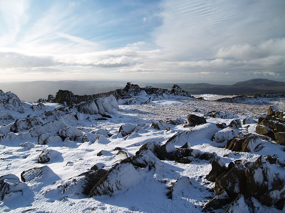
On the summit of White Maiden. Angus is trying to remove the snow that has balled under his paws, an occupational hazard for a fell walking dog.
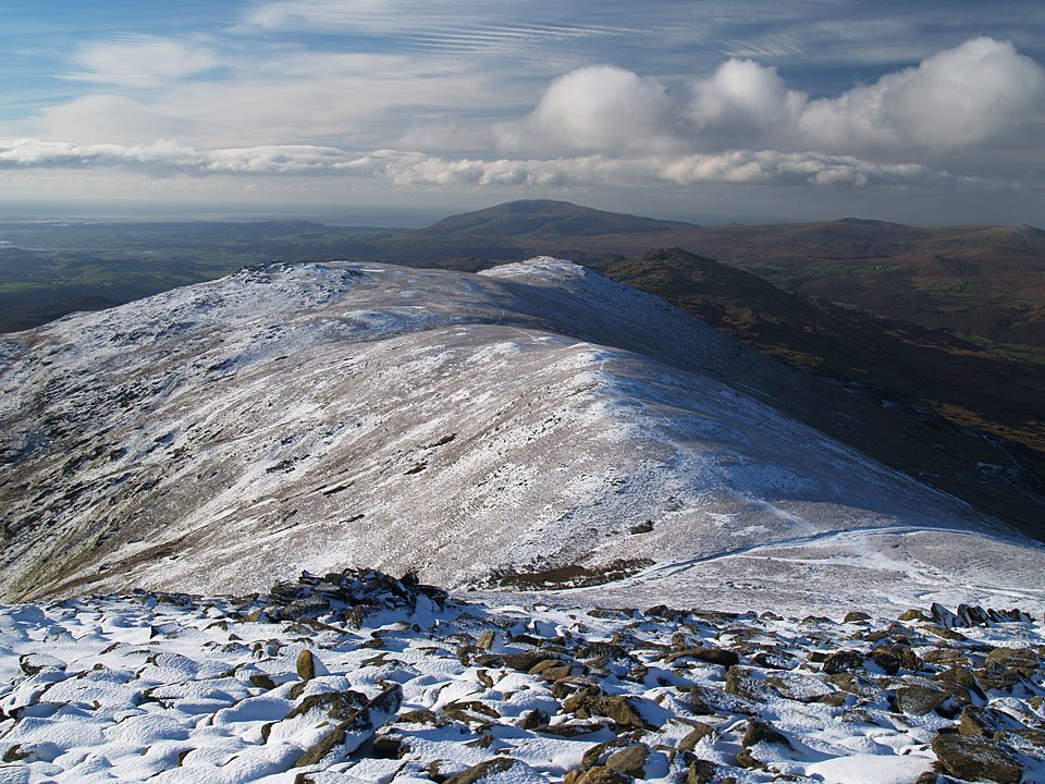
The view from Brown Pike looking back to Walna Scar, White Maiden and White Pike with a non-showy Caw and Black Combe beyond.
Walked on
Start point: Torver (SD 285 945)
Torver – Bleaberry Haws – High Pike Haw – White Maiden – White Pike – Walna Scar (OF) – Walna Scar Road – Brown Pike – Buck Pike on Seathwaite Fell – Dow Crag – Goat’s Haws – Tranearth – Torver
Distance: 8.9 miles Total Ascent: 992 metres Time Taken: 3 hours 20 minutes
Weather: Sunny and hazy. 17°C.
The sun was shining again today, with temperatures up to a pleasant 17°C at valley level, although at times it was quite chilly in the cold breeze on the tops. I had a walk up to the Coniston fells from Torver, using the gradual ascent up to Walna Scar via the ‘ignored by Wainwright’ south western fells. The view becomes increasingly better using this route with unrivalled views of the southern Coniston fells and great views along the Duddon Valley to Harter Fell and the Sca Fells beyond.
Walked on
Start point: Torver (SD 285 945)
Torver – Bleaberry Haws – High Pike Haw (205) – White Maiden (206) – White Pike (207) – Walna Scar (208) (OF) – Walna Scar Road – Cove Bridge – Tranearth – Torver
Weather: Rain, rain (go away!)
Today’s walk takes in a circuit of Torver High Common and is truncated from what I originally planned due to the rather inclement weather. As it rained from start to finish, there are no promised great views of the Coniston Fells or the Sca Fells, but there are some nice water shots – seeing as there was so much of it around!
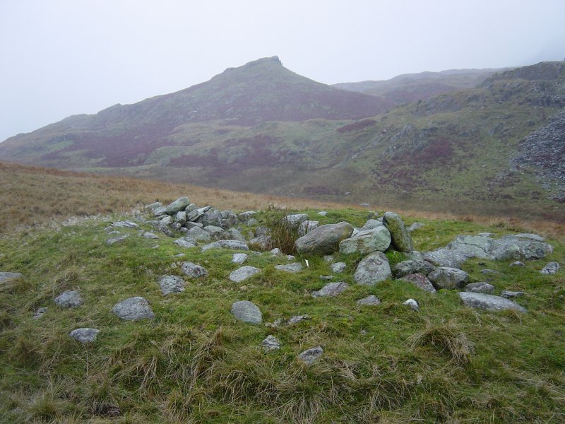
The shapely peak of High Pike Haw. In the foreground is an ancient cairn on Bleaberry Haws which is marked on the map. It consists of a circular hollow approximately 1.5 metres in diameter and 0.5 metres deep, surrounded by stones. This area yields much evidence of a Bronze Age settlement.
