Striding Edge

A photo diary of Lake District fell walks

  • Walks
  • Fells
    • Wainwrights
      • Eastern Fells
      • Far Eastern Fells
      • Central Fells
      • Southern Fells
      • Northern Fells
      • North Western Fells
      • Western Fells
      • Outlying Fells
    • Birketts
  • Dogs
  • Love The Lakes
  • Contact

Hampsfell

Walked on 29/03/2005

Start point: Grange Fell road (SD 396 779)

Hampsfell (OF) from the Grange Fell road

Distance: 2 miles     Total Ascent: 200 metres     Time Taken: 1 hour 30 minutes

Weather: Warm and sunny, 11°C.

Lying between Grange-over-Sands and Cartmel, Hampsfell is an elevated ridge of Limestone overlooking the Kent Estuary and Morecambe Bay. It was an easy and pleasant stroll this morning in the sunshine from the Grange Fell road up to the crowning glory on the summit –  a tower called The Hospice.

Hampsfell is described in Wainwright’s Hampsfell chapter in his book ‘The Outlying Fells of Lakeland’, page 58.


Hampsfell - Panorama1

Morecambe Bay from the ascent to Hampsfell.

Hampsfell - 29.03.05 009

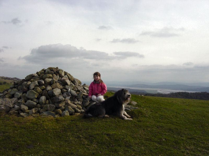
Angus and Connie at the beacon on Fell End.

Hampsfell - 29.03.05 010

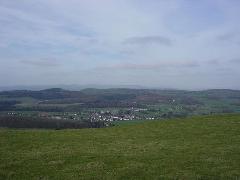
Looking down to Cartmel.

Hampsfell - 29.03.05 021

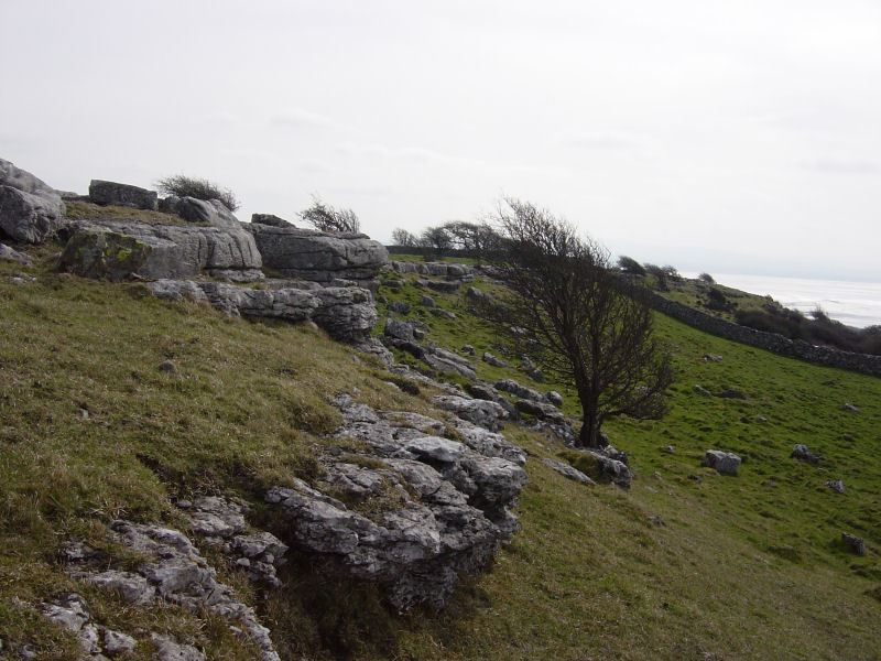
Limestone pavement on Hampsfell.

Hampsfell - 29.03.05 022

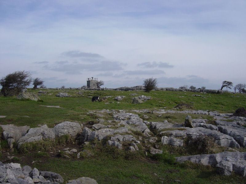
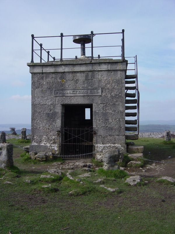
The approach to Hampsfell with The Hospice in view.

Hampsfell - 29.03.05 028

The Hospice, provided for "the shelter and entertainment of travellers over the fell".

Hampsfell - 29.03.05 023

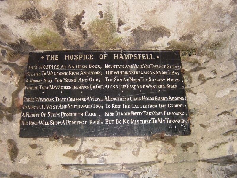
One of the poetry panels inside The Hospice.

Hampsfell - 29.03.05 036

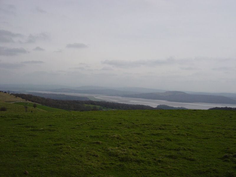
The Kent Estuary.

Share this…


  • Facebook


  • Twitter


  • Messenger


  • Whatsapp


  • Email

Previous walk Next walk

Walking Diary

  • The Mosedale Horseshoe 01/03/2022
  • Caw 18/01/2022
  • Coniston sunset 17/01/2022
  • Blencathra 15/01/2022
  • Scafell Pike 14/01/2022

Social

  • Facebook
  • Twitter

Information

  • Striding Edge
  • T&C’s
  • Privacy
  • Links