Striding Edge

A photo diary of Lake District fell walks

  • Walks
  • Fells
    • Wainwrights
      • Eastern Fells
      • Far Eastern Fells
      • Central Fells
      • Southern Fells
      • Northern Fells
      • North Western Fells
      • Western Fells
      • Outlying Fells
    • Birketts
  • Dogs
  • Love The Lakes
  • Contact

Hugill Fell

Walked on 04/05/2005

Start point: Barley Bridge, Staveley (SD 470 987)

Hugill Fell (OF) from Staveley

Distance: 1.6 miles     Total Ascent: 160 metres     Time Taken: 30 minutes

Weather: Sunny and warm. 15°C.

I was in Kendal at lunchtime, the sun was shining so I took the opportunity to try and dry out after yesterdays damp affair and headed up to the Wainwright Outlying fell, Hugill Fell from Staveley. A nice and easy one this with some great views, especially when the sun shines.

Today’s short walk follows Wainwright’s Hugill Fell chapters in his book ‘The Outlying Fells of Lakeland’, page 22.

Hugill Fell

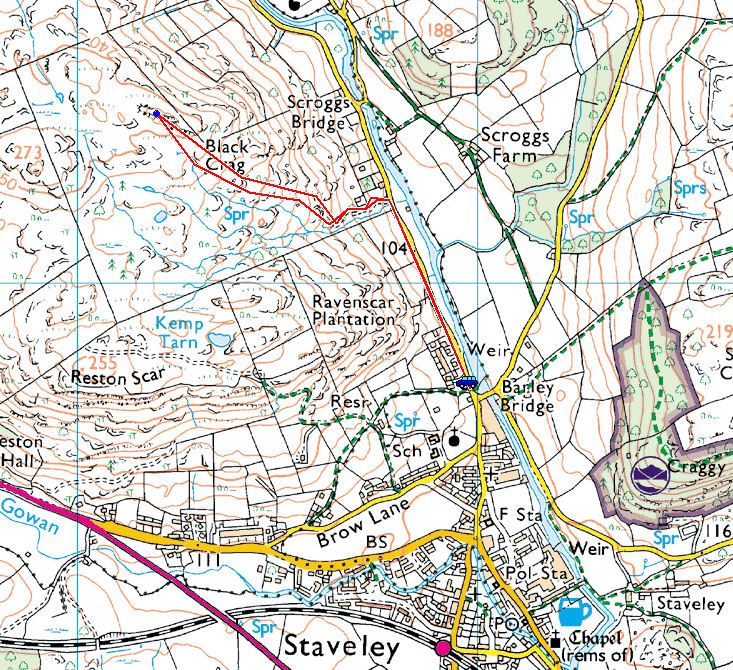
Hugill Fell route map.

Hugill Fell - 4th May 001

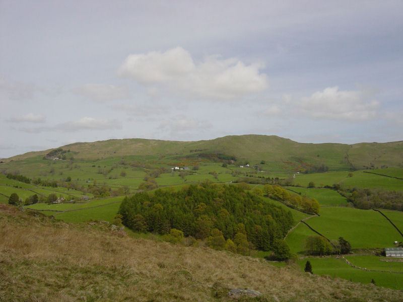
Brunt Knott over Kentmere Valley.

Hugill Fell - 4th May 005

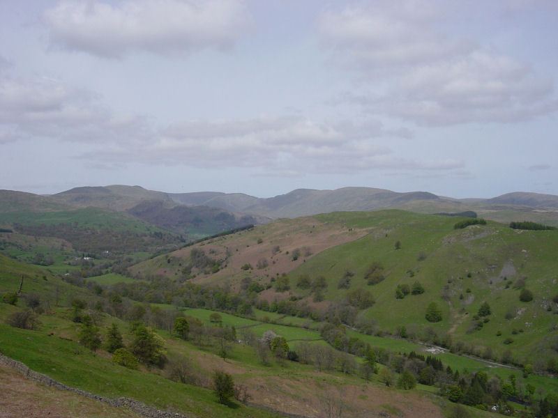
The head of Kentmere and the Kentmere Horseshoe.

Hugill Fell - 4th May 009

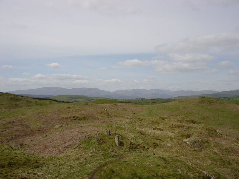
View of the distant high fells from Hugill Fell; the Coniston fells to the left, the Langdales to the right.

Hugill Fell - 4th May 011

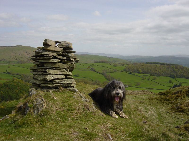
The summit of Hugill Fell.

Hugill Fell - panorama3

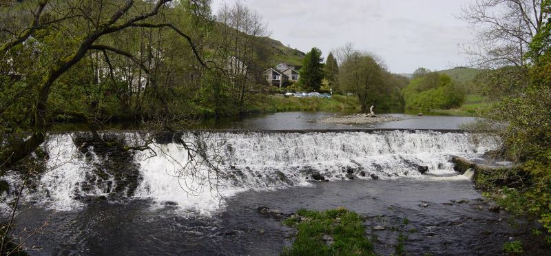
The River Kent flows over the weir at Barley Bridge, Staveley.

Share this…


  • Facebook


  • Twitter


  • Messenger


  • Whatsapp


  • Email

Previous walk Next walk

Walking Diary

  • The Mosedale Horseshoe 01/03/2022
  • Caw 18/01/2022
  • Coniston sunset 17/01/2022
  • Blencathra 15/01/2022
  • Scafell Pike 14/01/2022

Social

  • Facebook
  • Twitter

Information

  • Striding Edge
  • T&C’s
  • Privacy
  • Links