Striding Edge

A photo diary of Lake District fell walks

  • Walks
  • Fells
    • Wainwrights
      • Eastern Fells
      • Far Eastern Fells
      • Central Fells
      • Southern Fells
      • Northern Fells
      • North Western Fells
      • Western Fells
      • Outlying Fells
    • Birketts
  • Dogs
  • Love The Lakes
  • Contact

Rough Crag

Walked on 22/07/2005

Start point: Birker Fell road (SD 171 977)

Birker Fell Road –  Rough Crag (Birker Moor) (OF) – Devoke Water – Birker Fell Road

Weather: Cloudy. 18°C.

It was another overcast day today with a thick band of low lying cloud over the fells. We just managed to stay below it but the views were totally obliterated from Rough Crag on the northern side of Devoke Water.

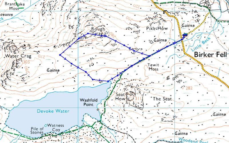
Rough Crag

Rough Crag route map.

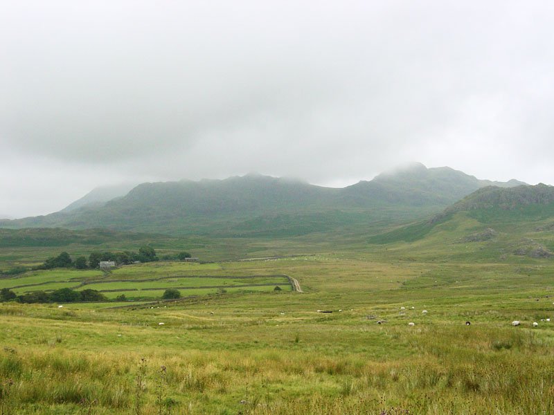
Rough Crag - 22nd July 001

Harter Fell and Green Crag getting lost in the low cloud from Birker Fell.

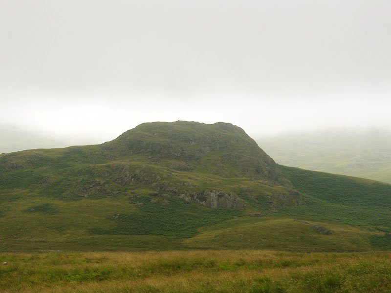
Rough Crag - 22nd July 005

Seat How.

Rough Crag - panorama1 copy

Devoke Water through the mist from Rough Crag.

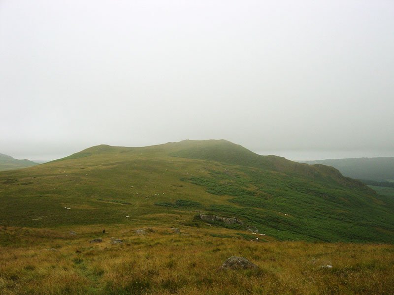
Rough Crag - 22nd July 015

Water Crag from Rough Crag.

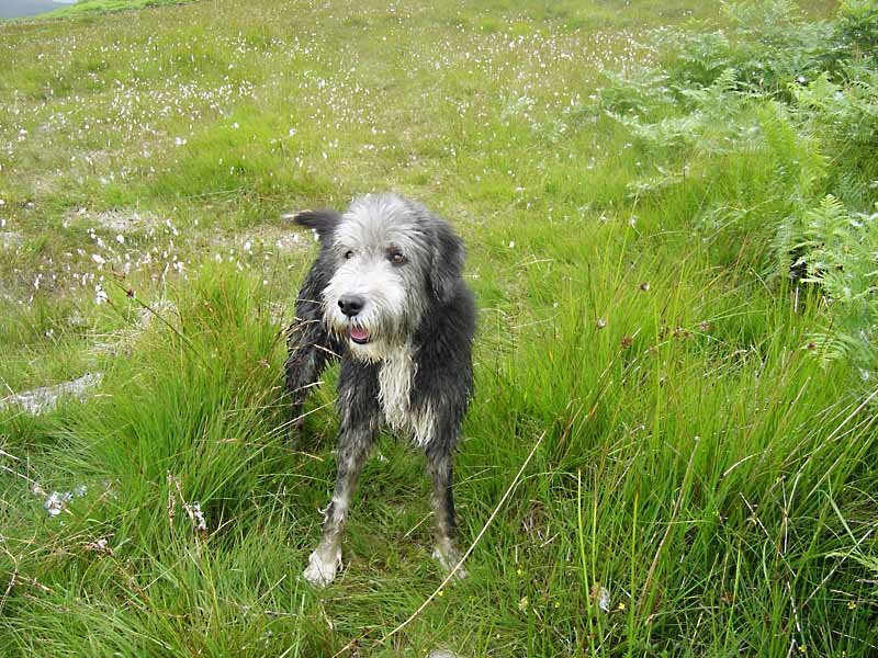
Rough Crag - 22nd July 026

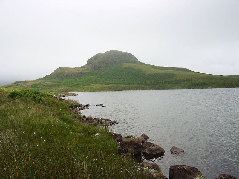
Angus on the shore of Devoke Water.

Rough Crag - 22nd July 029

Seat How over Devoke Water. ...and on the way home we stopped off at The River Duddon...

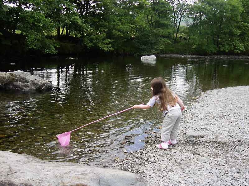
Rough Crag - 22nd July 037

...to use a fishing net.

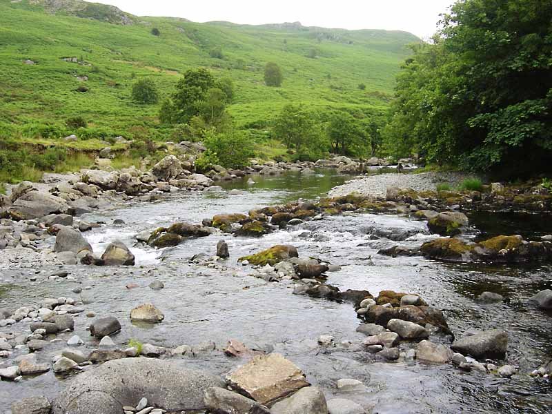
Rough Crag - 22nd July 040

The River Duddon.

Share this…


  • Facebook


  • Twitter


  • Messenger


  • Whatsapp


  • Email

Previous walk Next walk

Walking Diary

  • The Mosedale Horseshoe 01/03/2022
  • Caw 18/01/2022
  • Coniston sunset 17/01/2022
  • Blencathra 15/01/2022
  • Scafell Pike 14/01/2022

Social

  • Facebook
  • Twitter

Information

  • Striding Edge
  • T&C’s
  • Privacy
  • Links