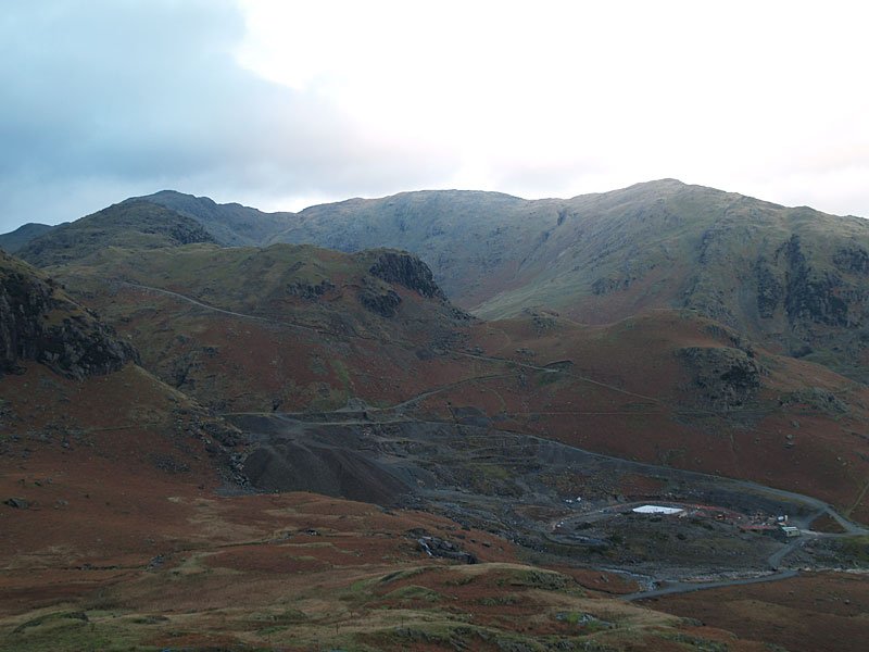
Striding Edge

A photo diary of Lake District fell walks

  • Walks
  • Fells
    • Wainwrights
      • Eastern Fells
      • Far Eastern Fells
      • Central Fells
      • Southern Fells
      • Northern Fells
      • North Western Fells
      • Western Fells
      • Outlying Fells
    • Birketts
  • Dogs
  • Love The Lakes
  • Contact

Coniston Round

Walked on 21/12/2006

Start point: Walna Scar road (SD 289 970)

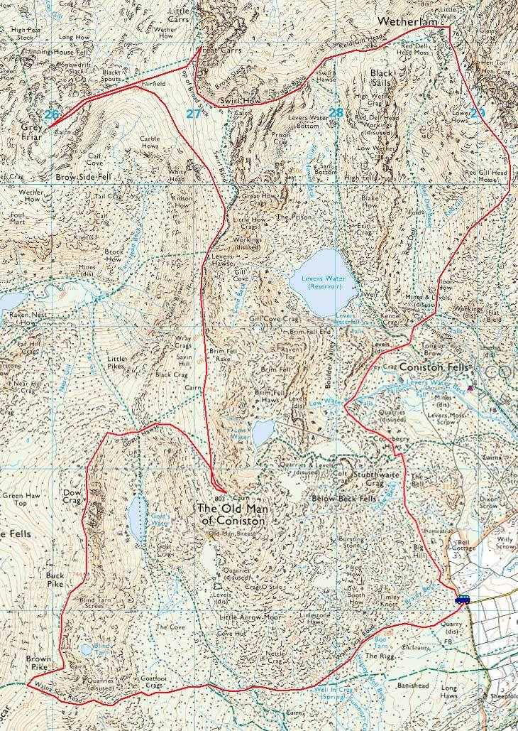
Walna Scar road – Brown Pike – Buck Pike – Dow Crag – Goat’s  Hawse – Coniston Old Man – Brim Fell– Levers Hawse –  Great How – Grey Friar – Great Carrs – Swirl How – Prison Band – Swirl Hawse –Wetherlam  – Red Dell – Boulder Valley – Walna Scar Road

Distance: 11.8 miles     Total Ascent: 1320 metres     Time Taken: 5 hours

Weather: Cold and windy. 4oC.

That wasn’t supposed to happen! The weather was predicted to be the same as yesterday, blue skies and general loveliness above the clouds – however, rule #1 is there is no accounting for the weather. There was a strong wind and grey skies above the low lying fog with the upper clouds only clearing at the very end of the walk. This was a good long walk on the shortest day of the year and the fells were surprisingly busy today.
01 Coniston-Round

21.12.06-003

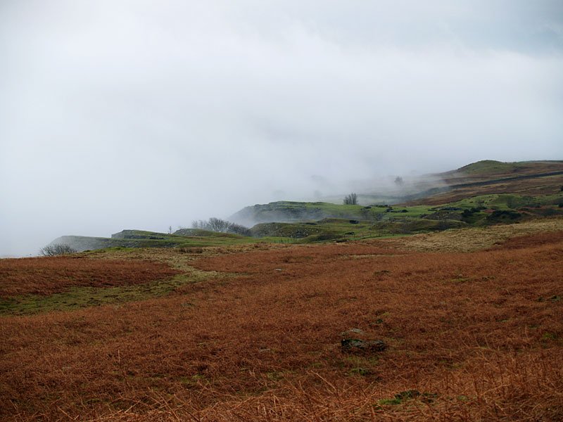
Walking along the Walna Scar road, we were quickly above the low lying cloud, here looking to Torver High Common.
21.12.06-015

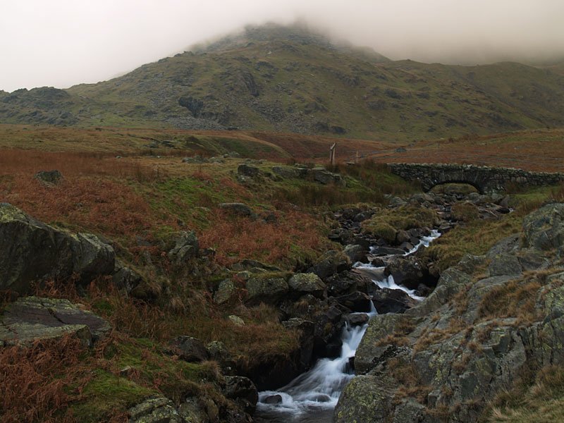
At Cove Bridge, it was fairly obvious that this wasn't going to be a still blue sky temperature inversion day. Brown Pike is in the cloud beyond the bridge.
21.12.06-022

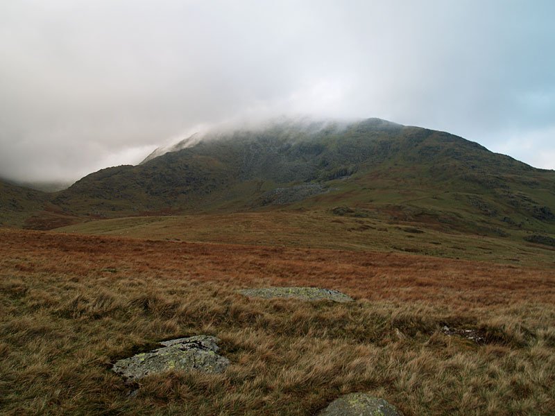
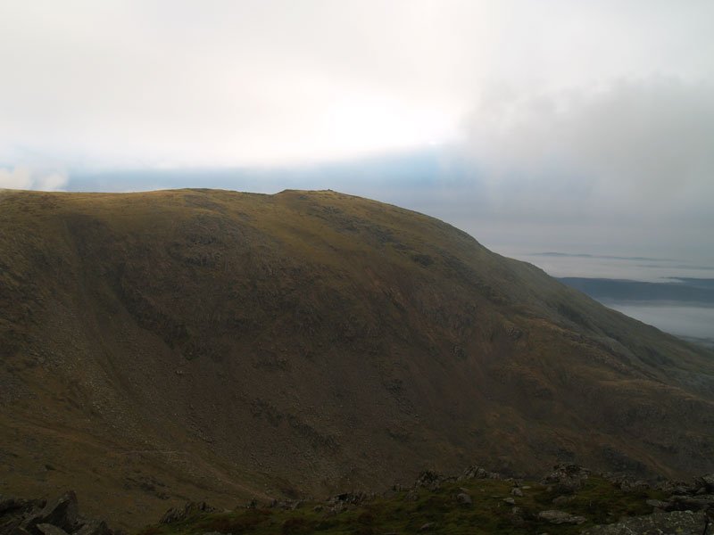
Coniston Old Man, the cloud sticking to the summit.

21.12.06-028

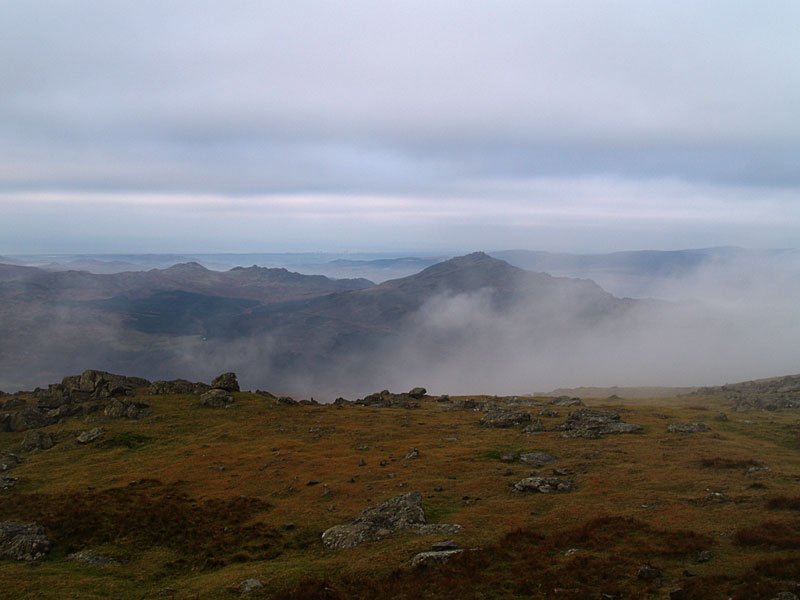
Once onto the Brown Pike - Buck Pike ridge the icy wind was really blowing up a gale. A fleeting gap in the clouds reveals Harter Fell.
21.12.06-032

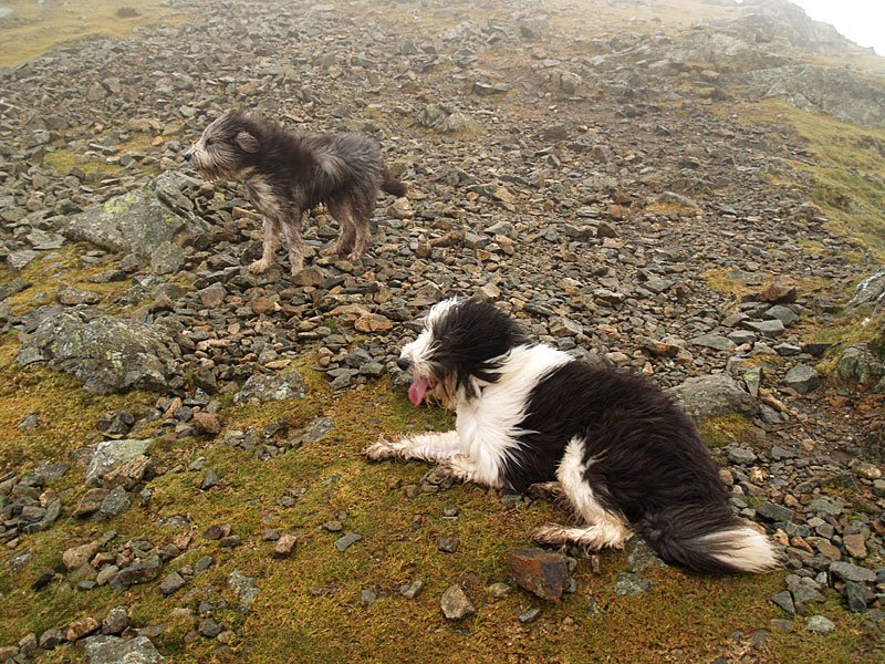
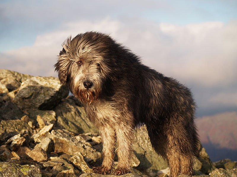
Casper sticking his tongue out to the wind.

21.12.06-036

Looking back from Dow Crag to Buck Pike.

21.12.06-042

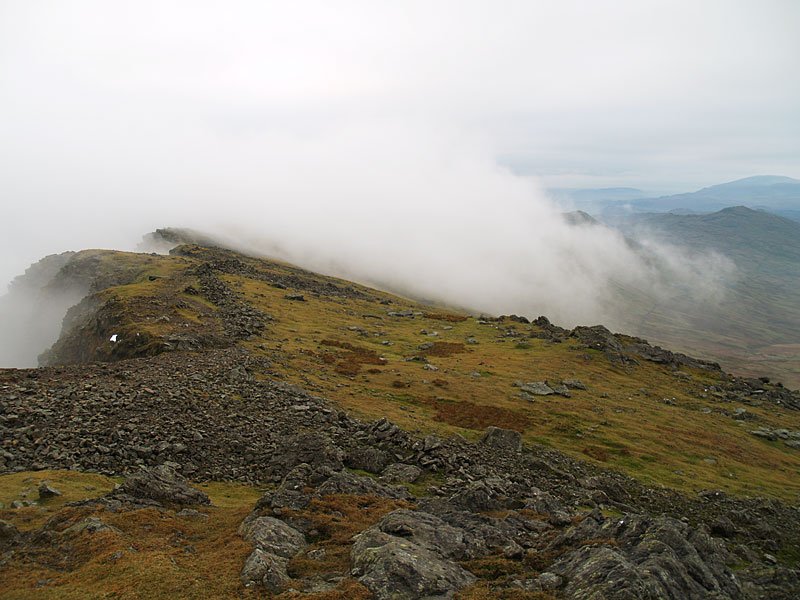
Descending from Dow Crag, the cloud clinging to Brim Fell.

21.12.06-045

Clear on The Old Man - for now, anyway!

21.12.06-047

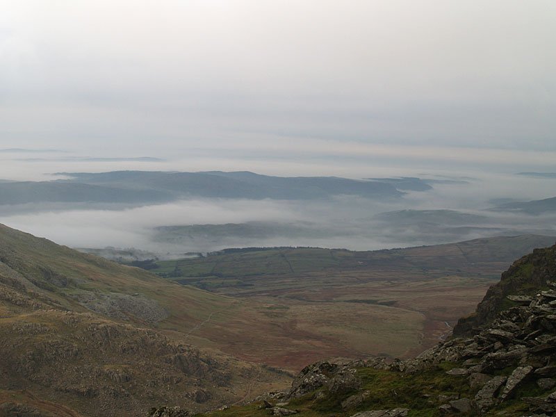
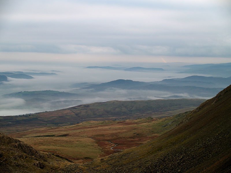
The mist still hanging in the valleys to the south.

21.12.06-052

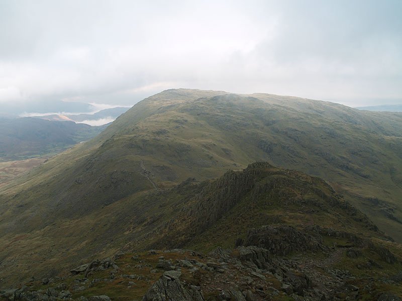
Grey Friar, Great Carrs, Swirl How and Brim Fell - all to be visited today.

21.12.06-053

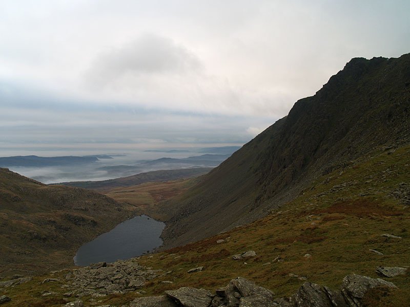
Looking south over Goats Water in the lee of Dow Crag.

21.12.06-056

Looking south, Beacon Fell centre.

21.12.06-060

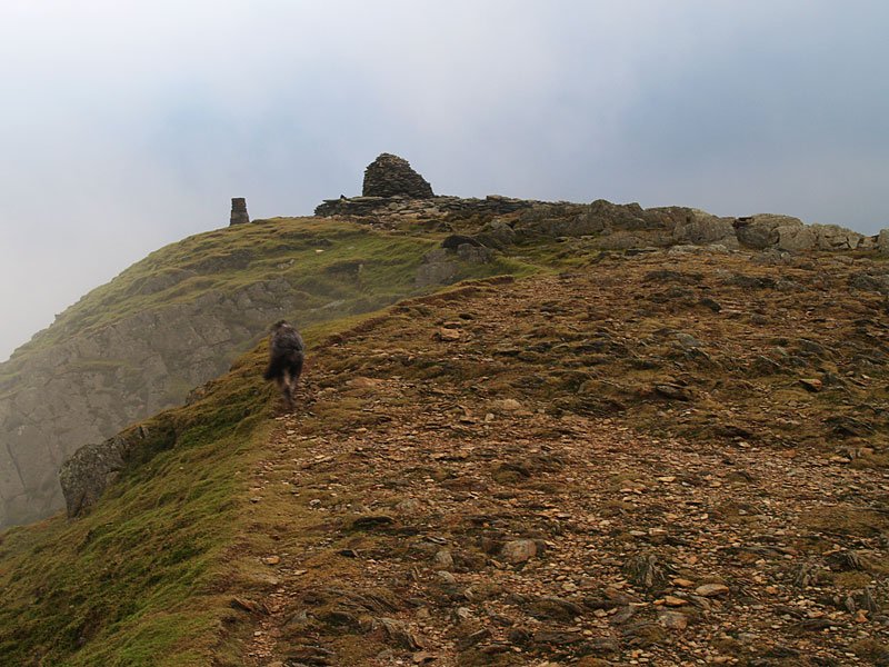
Approaching the summit of The Old Man.

21.12.06-063

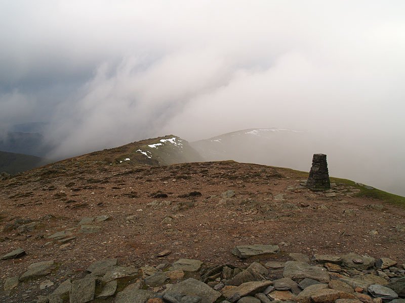
The Old Man of Coniston.

21.12.06-065

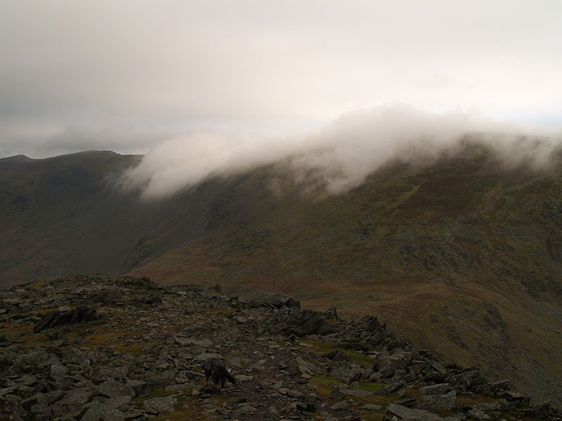
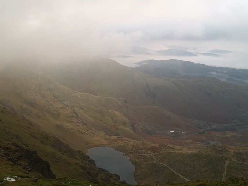
The easterly view to the Furness Fells over Low Water shortly before being engulfed in cloud again. It was a cold, strong wind that blew walking along to Brim Fell and beyond.
21.12.06-072

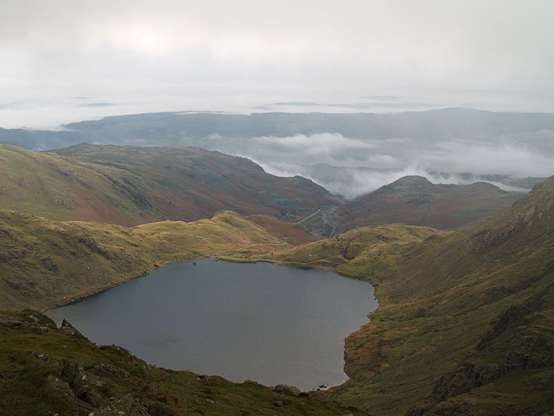
Levers Water from Little How Crags after walking through the worst of the storm - but it was back into the mist for the climb to Grey Friar then Great Carrs and Swirl How.

21.12.06-087

Descending Prison Band to Black Sails and Wetherlam from Swirl How.

21.12.06-100

On the way to Wetherlam, the clouds parted and blue sky and sunshine appeared to the east. Behind, Coniston remained under brooding skies.

21.12.06-114

Pike o' Stickle from Wetherlam.

21.12.06-115

Looking north-east over Little Langdale.

21.12.06-117

The Langdales under a thick blanket of cloud, Blea Tarn centre.

21.12.06-124

The mist still clinging to the valleys.

21.12.06-136

Angus.

21.12.06-138

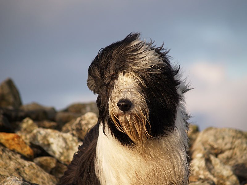
Casper.

21.12.06-147

The sky is ever clearing.

21.12.06-161

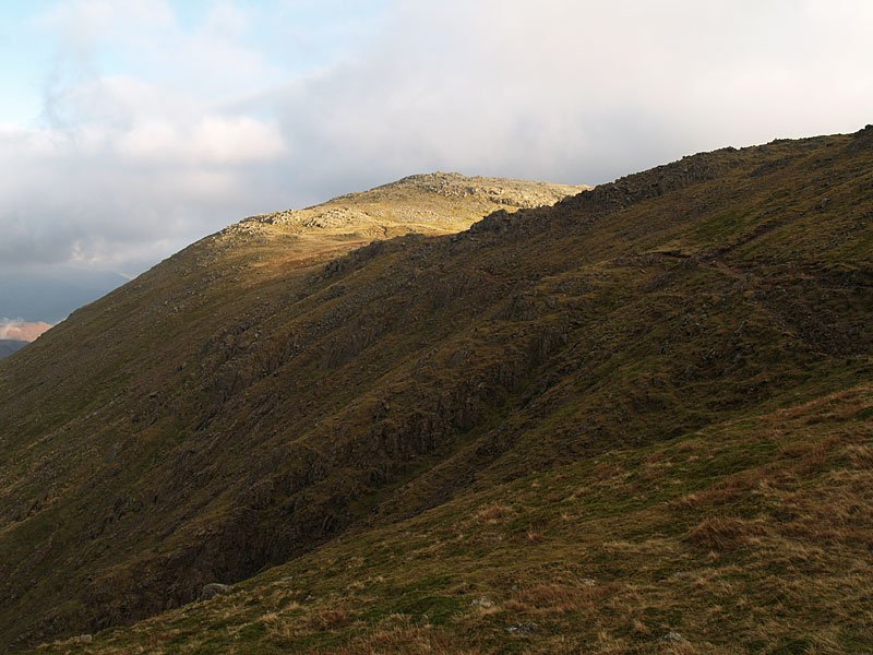
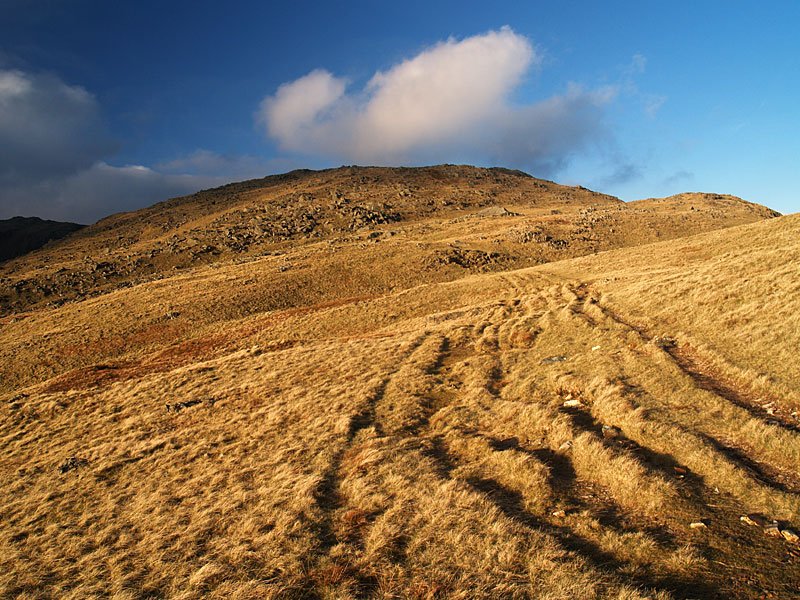
Looking back along the furrowed path to Wetherlam.

21.12.06-163

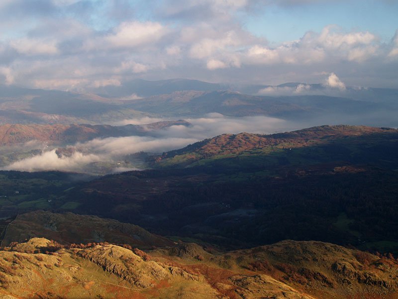
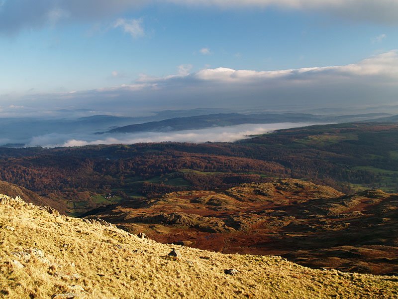
The southern end of Windermere still under a blanket of cloud.

21.12.06-170

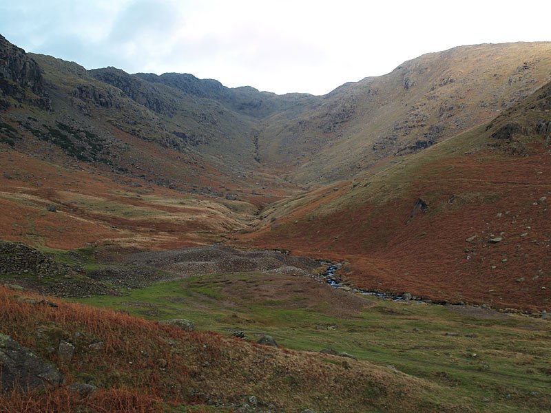
Red Dell.

21.12.06-174

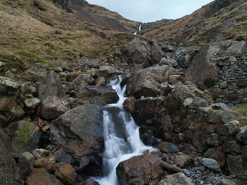
Crossing Levers Water Beck.

21.12.06-179

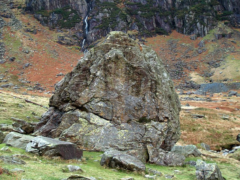
The Pudding Stone, Boulder Valley.

21.12.06-181

Looking over Coppermines Valley to Black Sails and Wetherlam.

Share this…


  • Facebook


  • Twitter


  • Messenger


  • Whatsapp


  • Email

Previous walk Next walk

Walking Diary

  • The Mosedale Horseshoe 01/03/2022
  • Caw 18/01/2022
  • Coniston sunset 17/01/2022
  • Blencathra 15/01/2022
  • Scafell Pike 14/01/2022

Social

  • Facebook
  • Twitter

Information

  • Striding Edge
  • T&C’s
  • Privacy
  • Links