Striding Edge

A photo diary of Lake District fell walks

  • Walks
  • Fells
    • Wainwrights
      • Eastern Fells
      • Far Eastern Fells
      • Central Fells
      • Southern Fells
      • Northern Fells
      • North Western Fells
      • Western Fells
      • Outlying Fells
    • Birketts
  • Dogs
  • Love The Lakes
  • Contact

Jack’s Rake

Walked on 08/09/2008

Start point: New Dungeon Ghyll Car Park (NY 295 064)

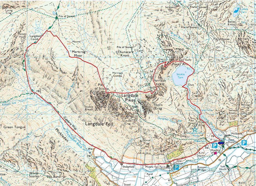
New Dungeon Ghyll – Stickle Tarn – Jack’s Rake – Pavey Ark – Harrison Stickle – Pike O’Stickle – Martcrag Moor – Stake Pass – Mickleden – New Dungeon Ghyll

Distance: 7 miles     Total Ascent: 815 metres     Time Taken: 4 hours

Weather: Clear becoming overcast. 17ºC.

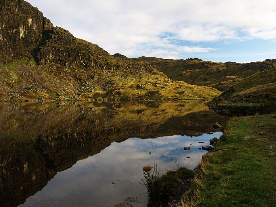
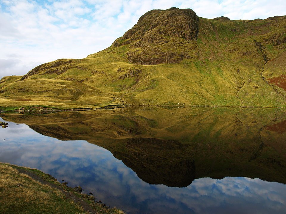
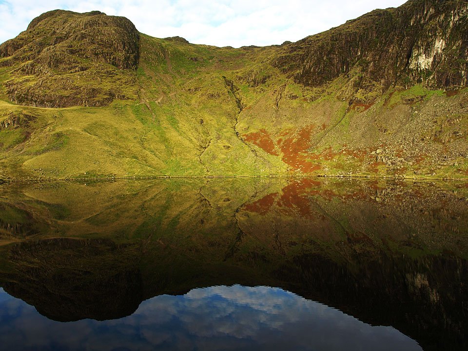
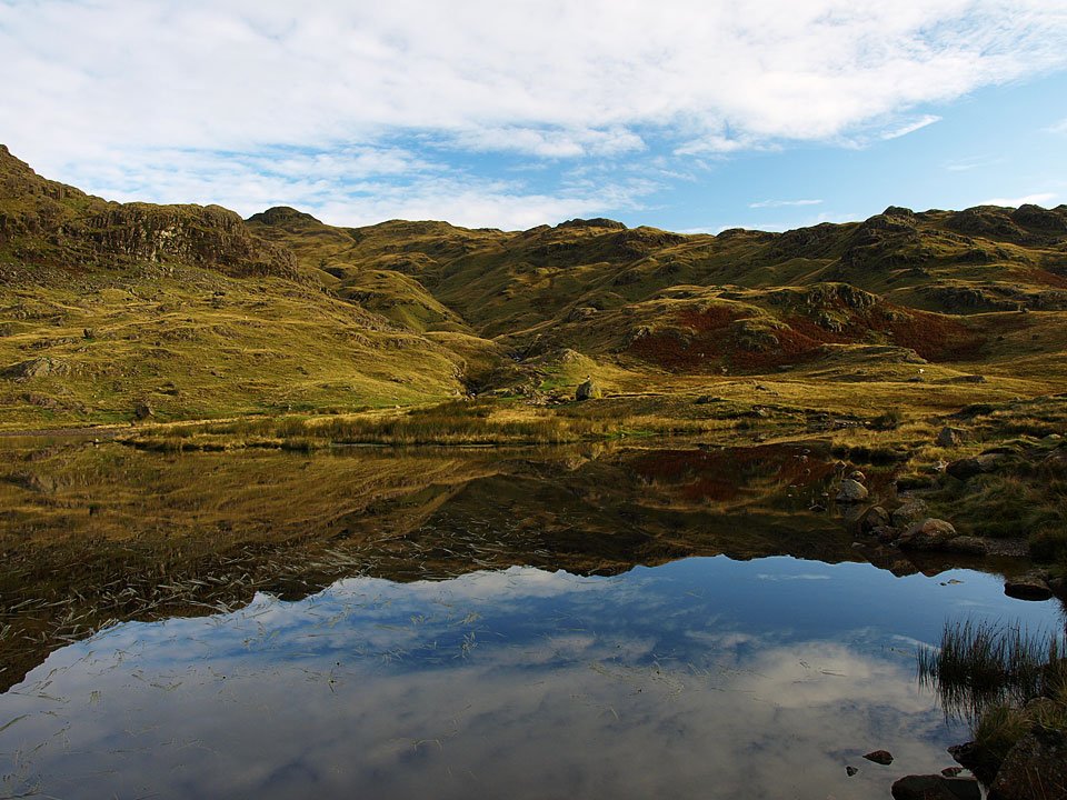
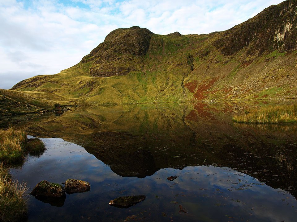
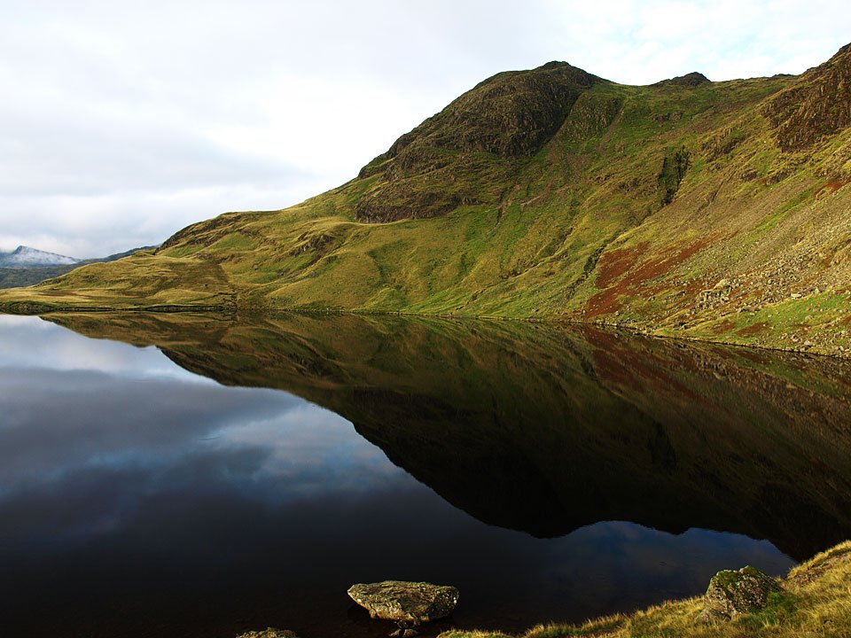
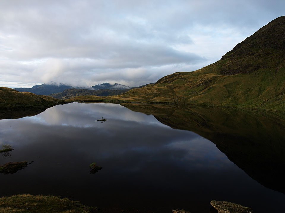
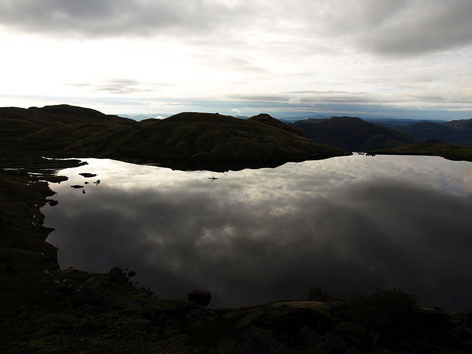
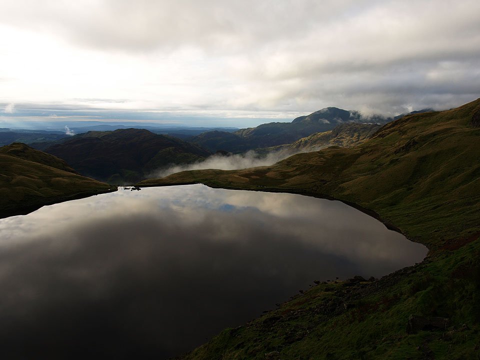
The schools are back…and so am I! It was a great feeling to be back out on the high fells again after a busy summer and what has felt like an age. The weather turned up trumps too with almost perfect conditions at the start of the walk and Stickle Tarn was at its best being mirror finished.

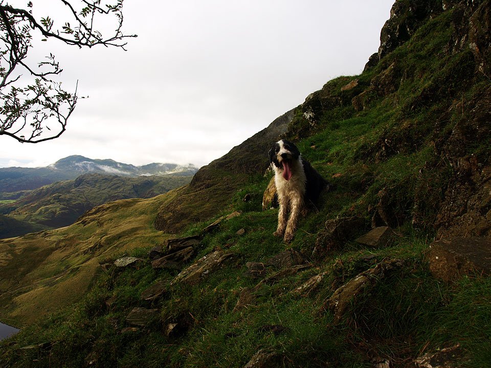
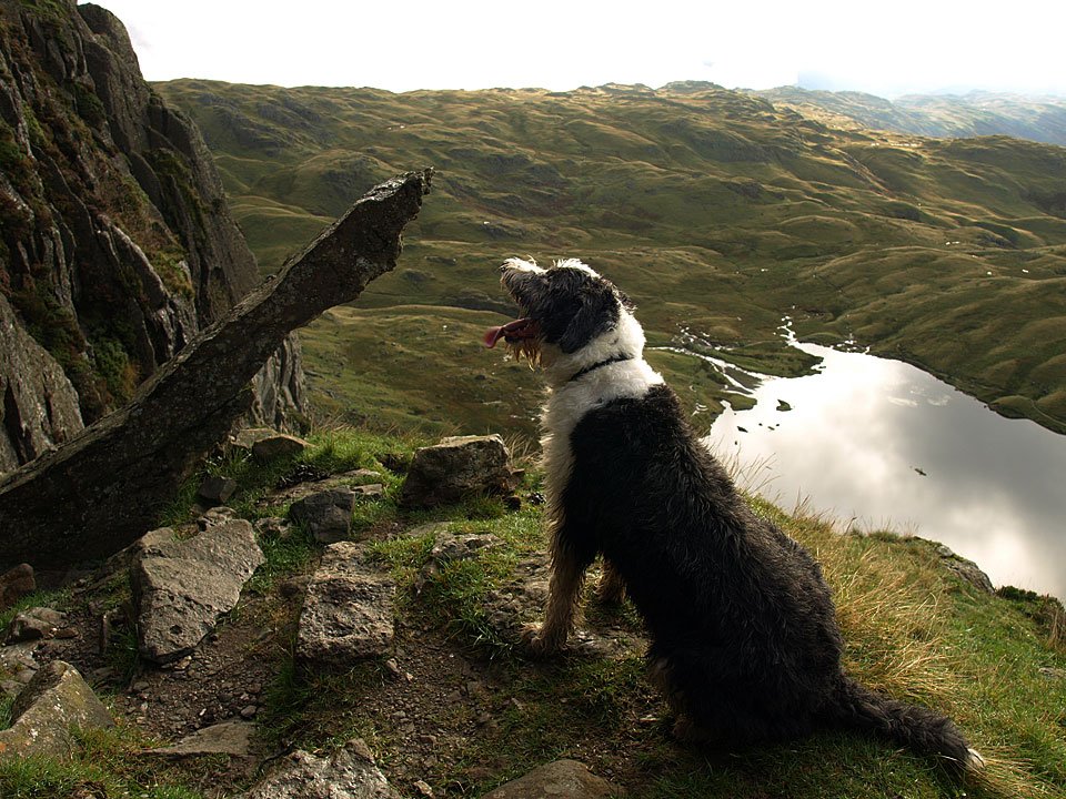
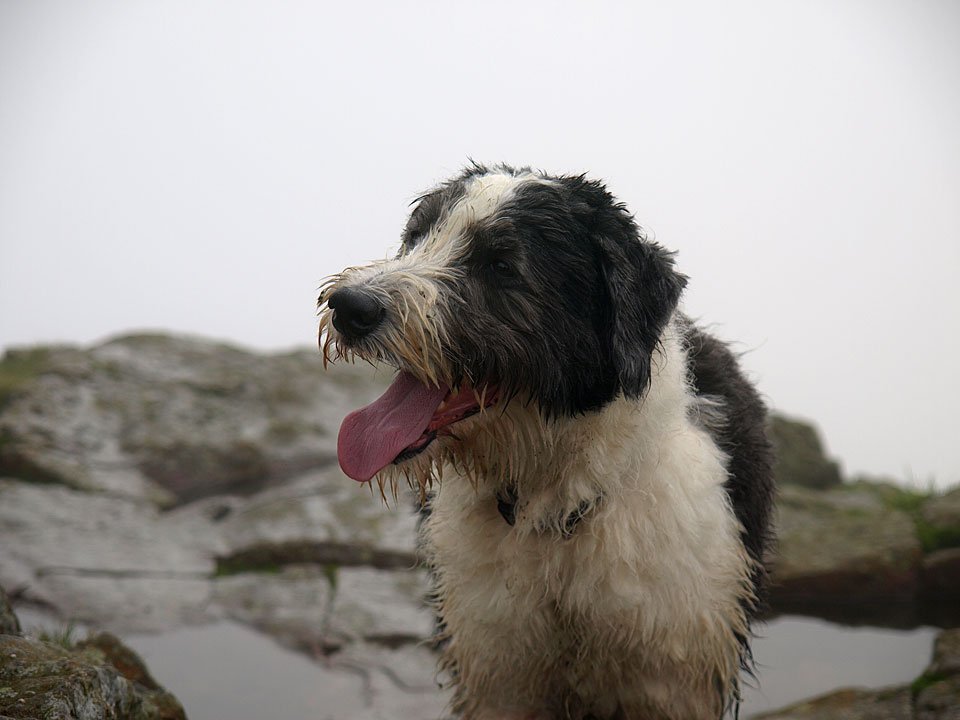
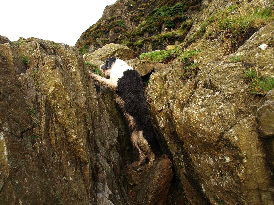
Note: This walk involves the awkward (for walkers) Jack’s Rake. Today I took Casper up there with me because I knew he could manage it okay; he is a Bearded Collie and they are bred to be on this type of terrain and he took it all in his stride.
Just because I went up there with my dog, it does not mean that any dog (or human for that matter) will be able to manage it – you have been warned!
Langdales.jpg

08.09.08-002.jpg

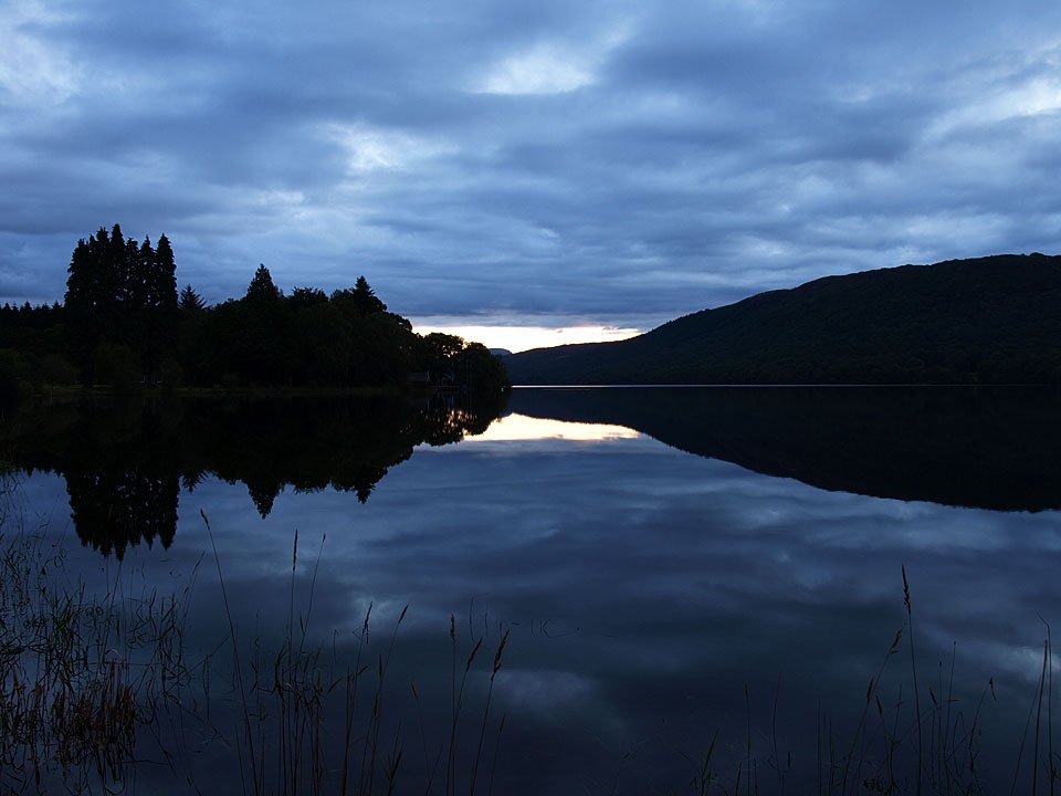
I couldn't resist this early morning one - sunrise over a calm looking Coniston Water.

08.09.08-011.jpg

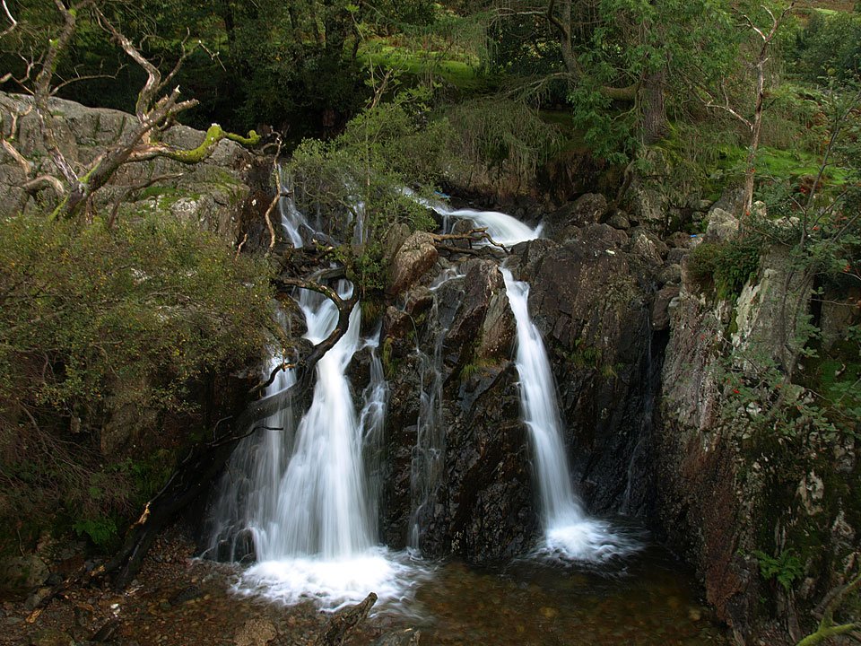
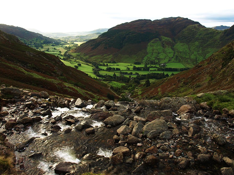
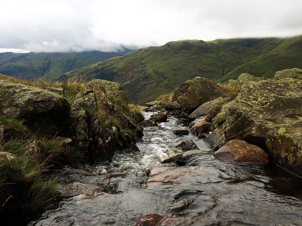
Stickle Ghyll was in full flow after the recent downpours.

08.09.08-015.jpg

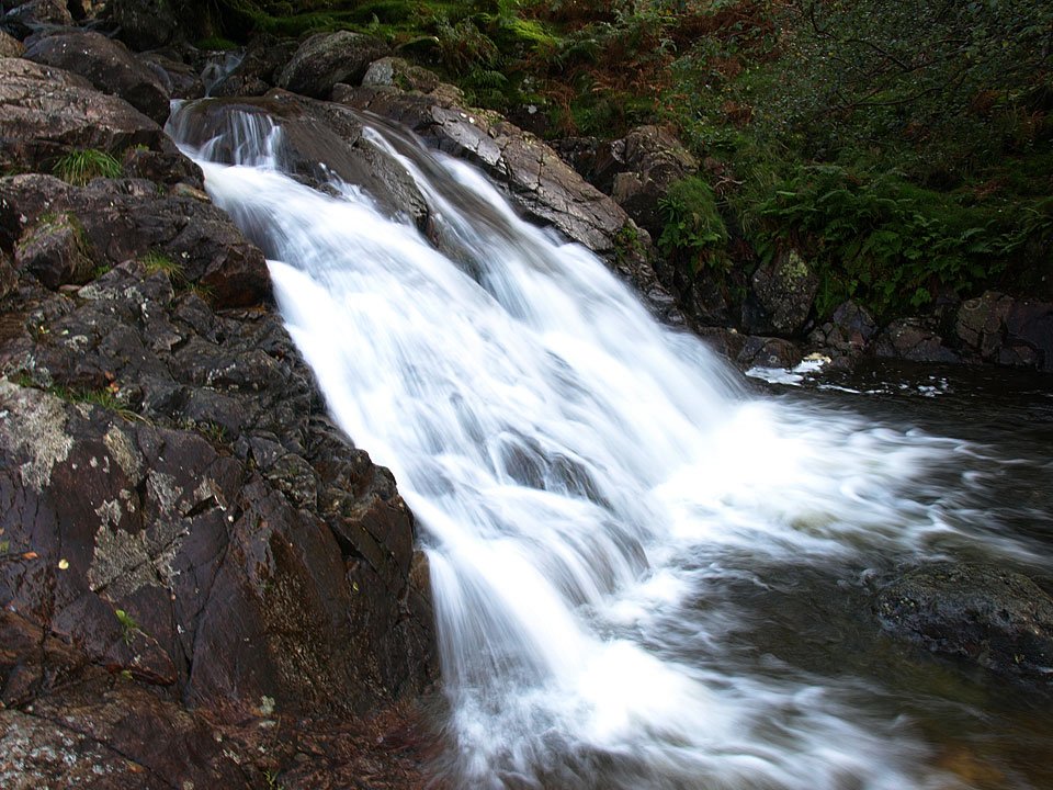
It was roaring today.

08.09.08-022.jpg

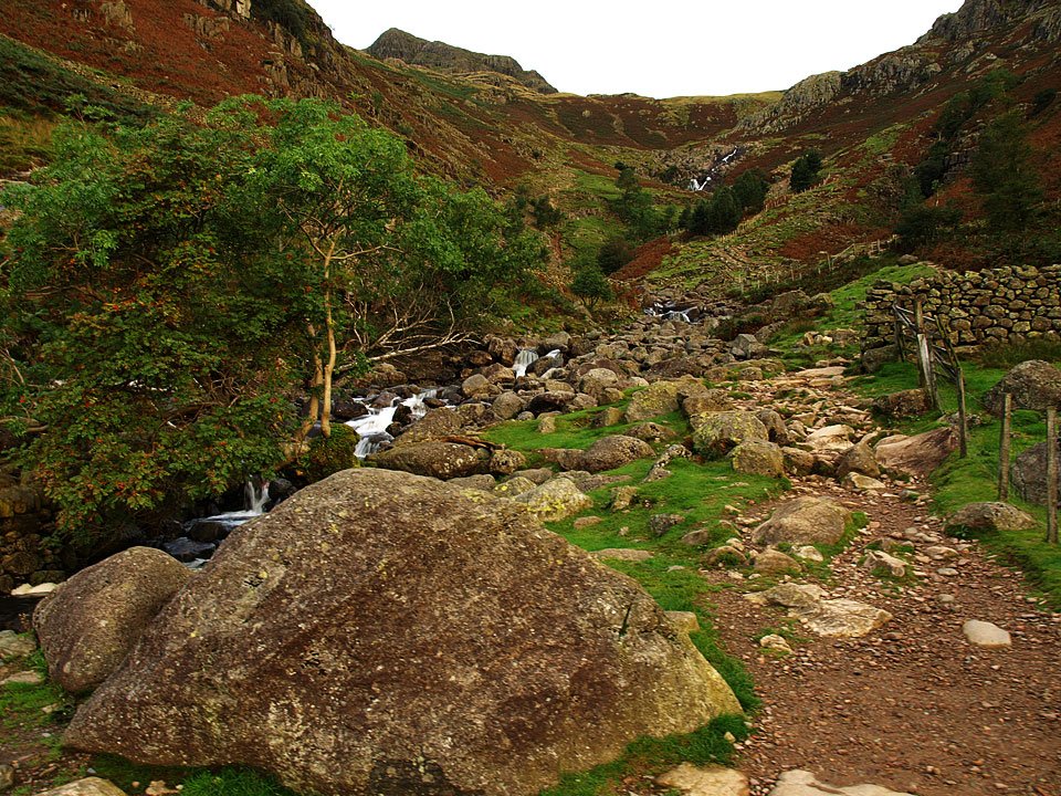
The path to Stickle Tarn.

08.09.08-027.jpg

Lingmoor Fell and Great Langdale from the climb.

08.09.08-032.jpg

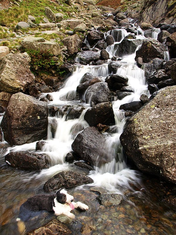
Casper has a relaxing soak!

08.09.08-035.jpg

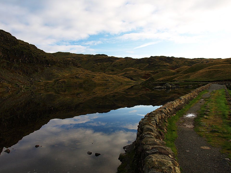
The dam on Stickle Tarn.

08.09.08-037.jpg

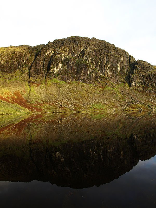
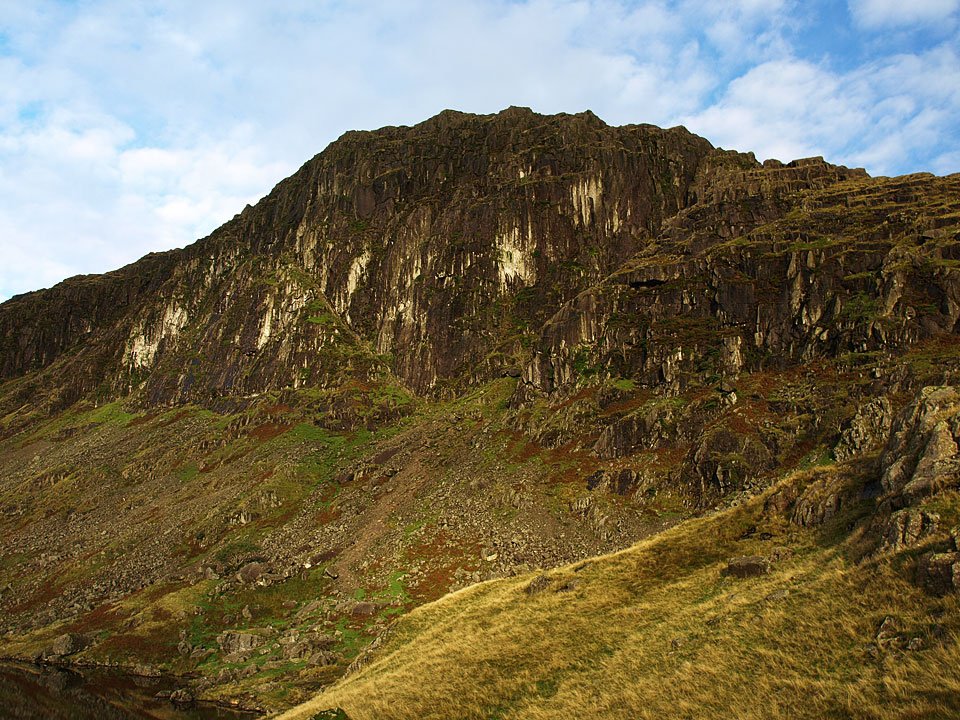
Pavey Ark.

08.09.08-046.jpg

The view to the north-east.

08.09.08-047.jpg

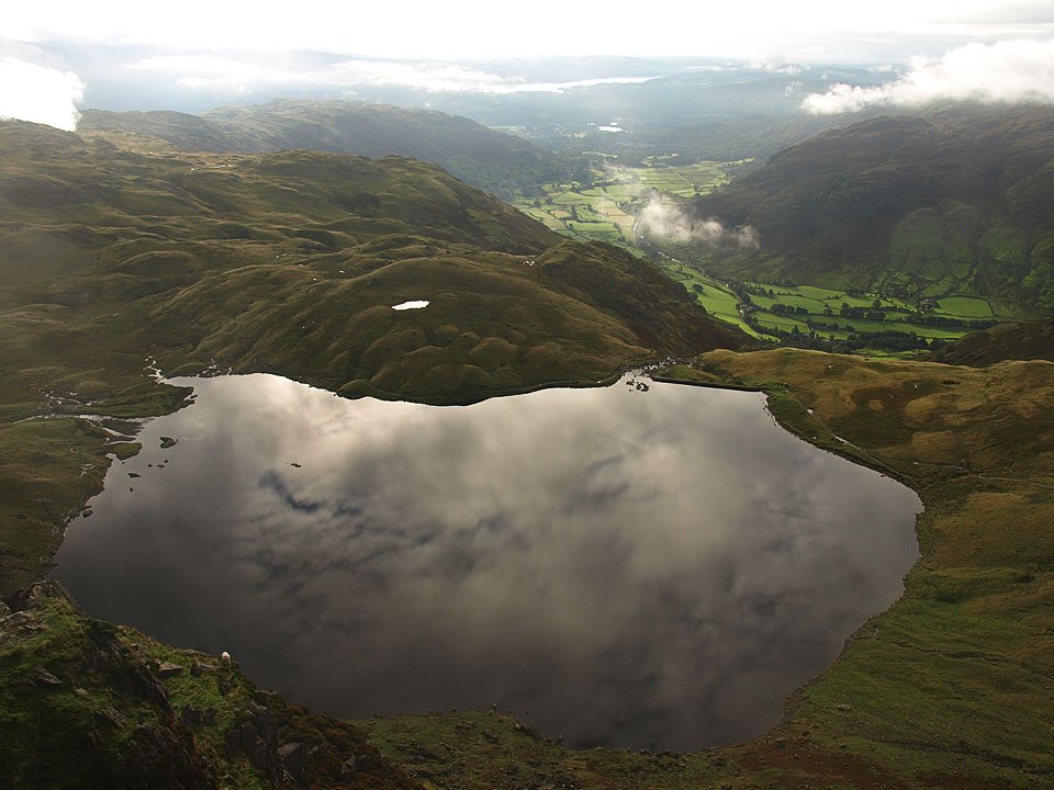
Stickle tarn was mirror finished today. This is Harrison Stickle reflected in it.

08.09.08-054.jpg

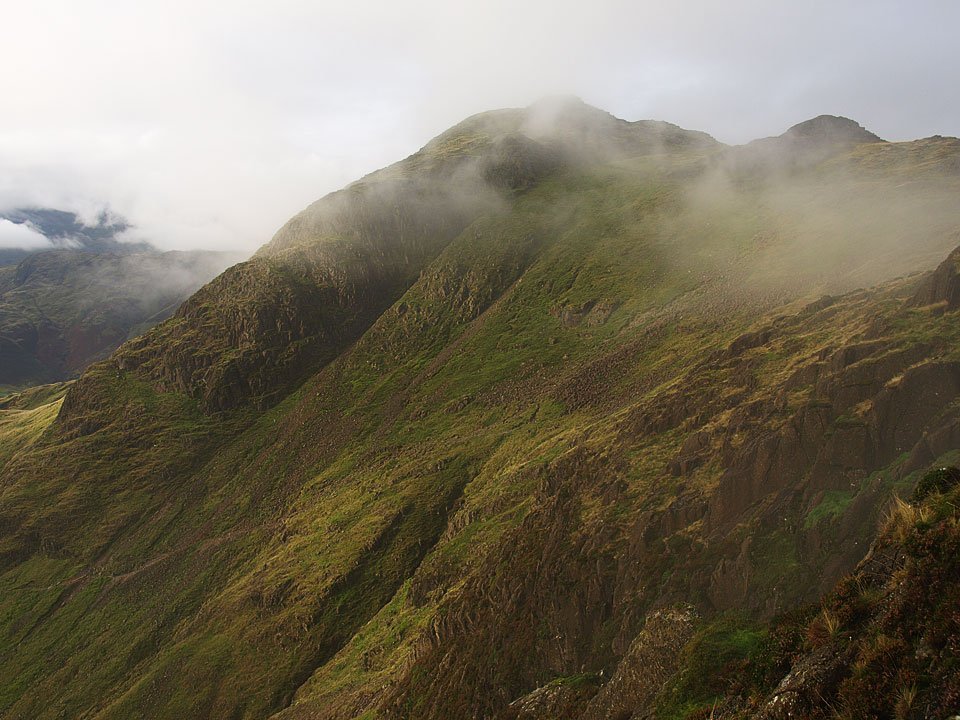
Harrison Stickle and Pavey Ark.

08.09.08-056.jpg

Following the path around the tarn.

08.09.08-057.jpg

Harrison Stickle once more from the eastern end of Stickle Tarn.

08.09.08-063.jpg

Rounding the tarn to reach Jack's Rake.

08.09.08-064.jpg

Looking across to the Coniston fells.

08.09.08-066.jpg

The face of Pavey Ark. Jack's Rake is the diagonal line running up from the centre to the left.

08.09.08-070.jpg

Moody Stickle Tarn from the bottom of Jack's Rake.

08.09.08-071.jpg

It looks quite bright over that way but the clouds are ominously beginning to form beyond the tarn.

08.09.08-074.jpg

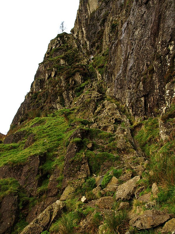
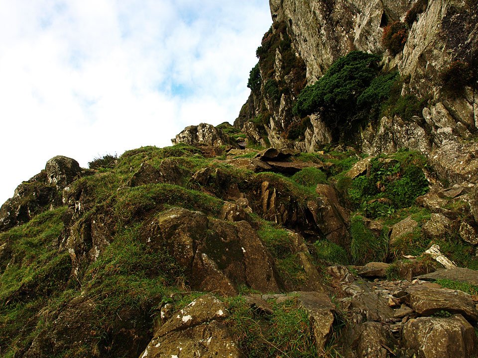
The start of Jack's Rake. It was a bit wet and greasy up there today after all the recent rain.

08.09.08-078.jpg

Looking back down the steep first section.

08.09.08-080.jpg

Great Langdale and Windermere from the first tree.

08.09.08-083.jpg

Continuing the climb.

08.09.08-084.jpg

You can do it Casper lad!

08.09.08-086.jpg

More cloud forming over the Vale of Grasmere.

08.09.08-095.jpg

Casper mirrors this prominent rock.

08.09.08-101.jpg

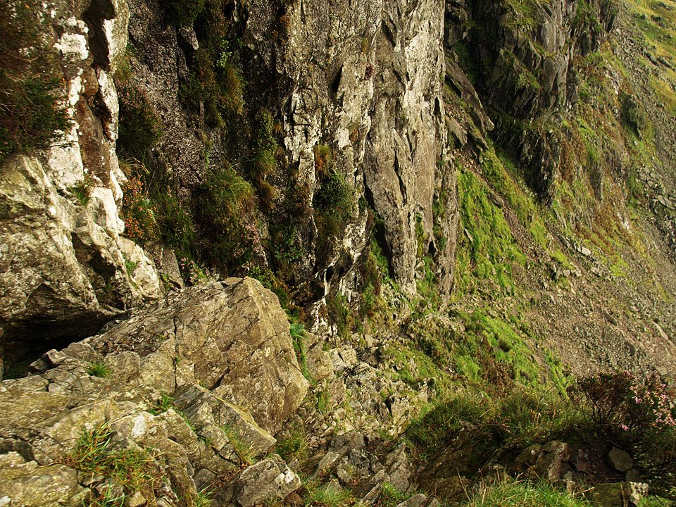
Climbing Gwynne's Chimney, Beardie style. He did well to climb Jack's Rake, only requiring a leg up here and there,
08.09.08-104.jpg

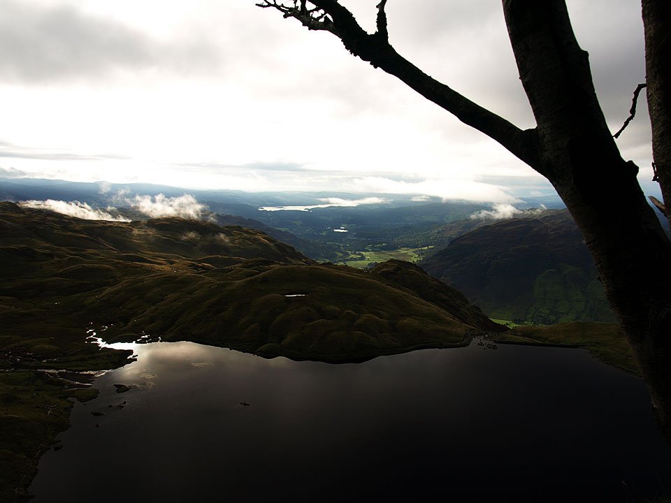
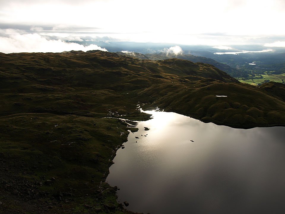
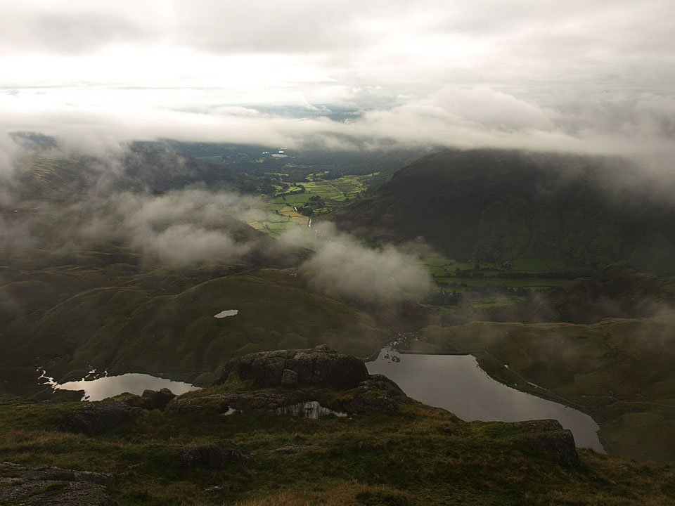
Stickle Tarn from Great Gully.

08.09.08-105.jpg

Looking across to Harrison Stickle.

08.09.08-108.jpg

The summit of Pavey Ark, High Raise to the right with low cloud over the northern fells.

08.09.08-110.jpg

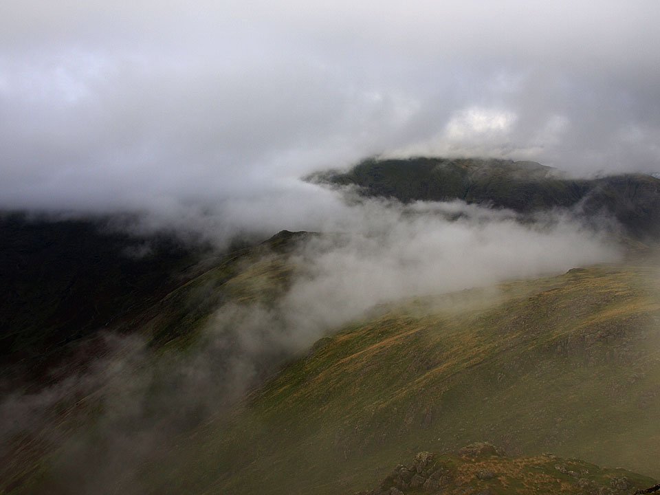
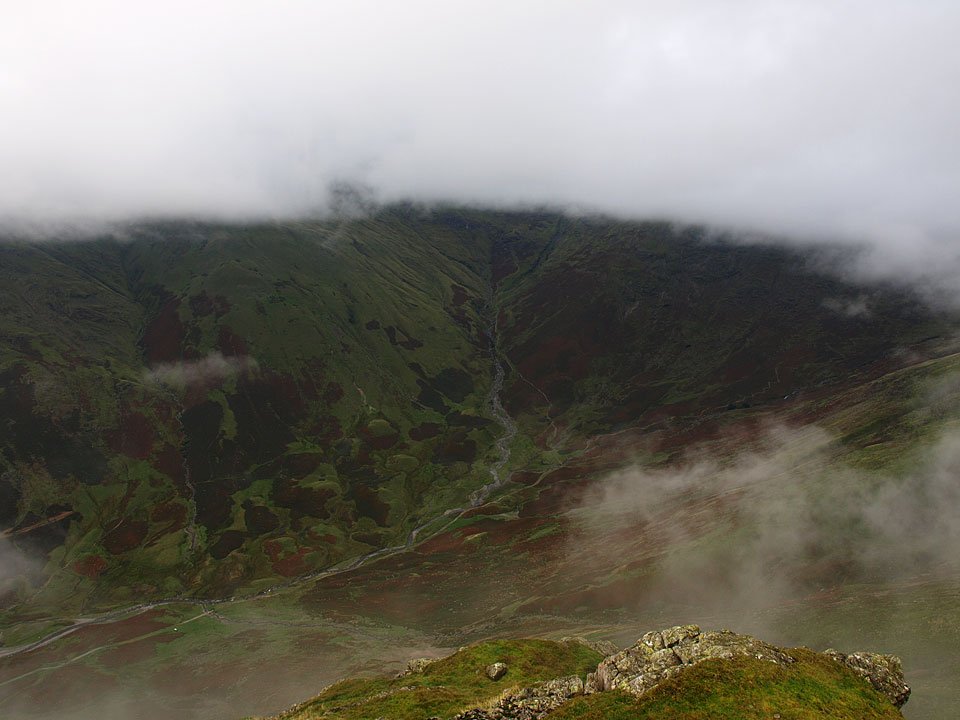
This view from Pavey Ark shows the cloud thickening and it wasn't long before I was completely enveloped in the clag.
08.09.08-114.jpg

Casper on Harrison Stickle, still no view and it was like that all the way to Pike o' Stickle.

08.09.08-131.jpg

A fleeting glimpse of Mickleden from Pike o' Stickle. Stake Pass, the route of descent used later, can be seen zig-zagging down from top right to centre.

08.09.08-132.jpg

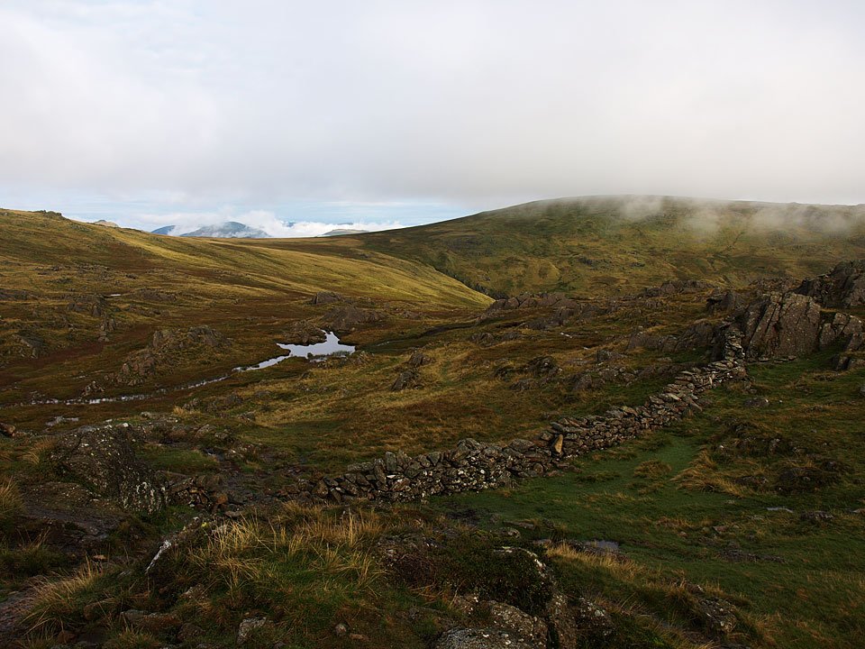
...and over to Martcrag Moor, the way we are heading next.

08.09.08-142.jpg

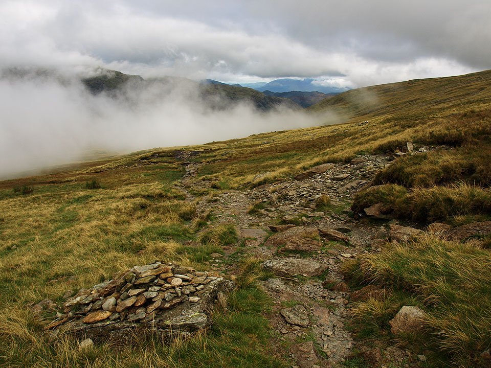
Back out of the cloud again descending to Martcrag Moor with a view all the way through to Skiddaw.

08.09.08-145.jpg

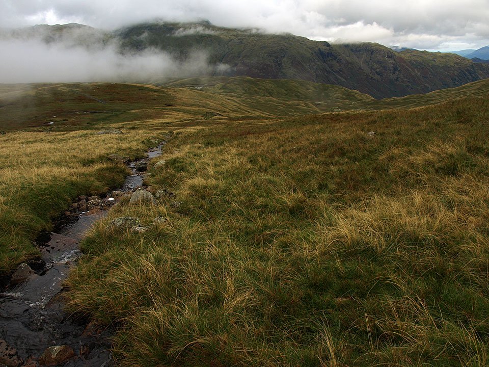
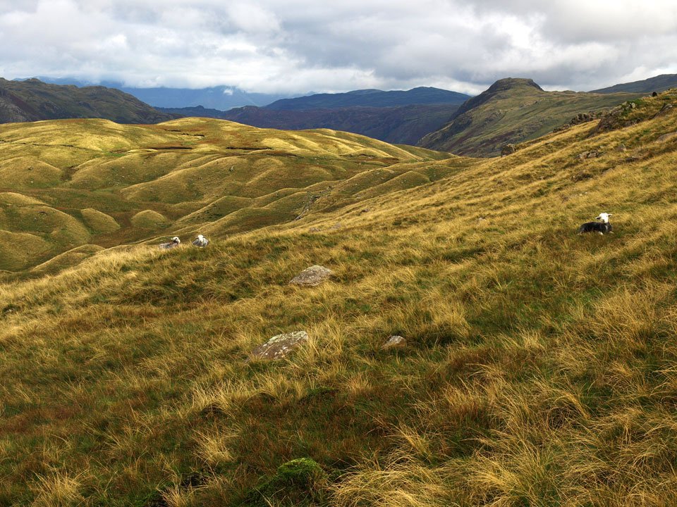
Glaramara from the boggy descent.

08.09.08-155.jpg

Looking across to Sergeant's Crag.

08.09.08-159.jpg

The Band and Crinkle Crags from the top of Stake Gill.

08.09.08-164.jpg

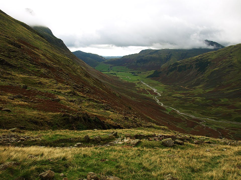
Mickleden from Stake Pass.

08.09.08-185.jpg

Rossett Pike and Mickleden Beck from Mickleden.

08.09.08-198.jpg

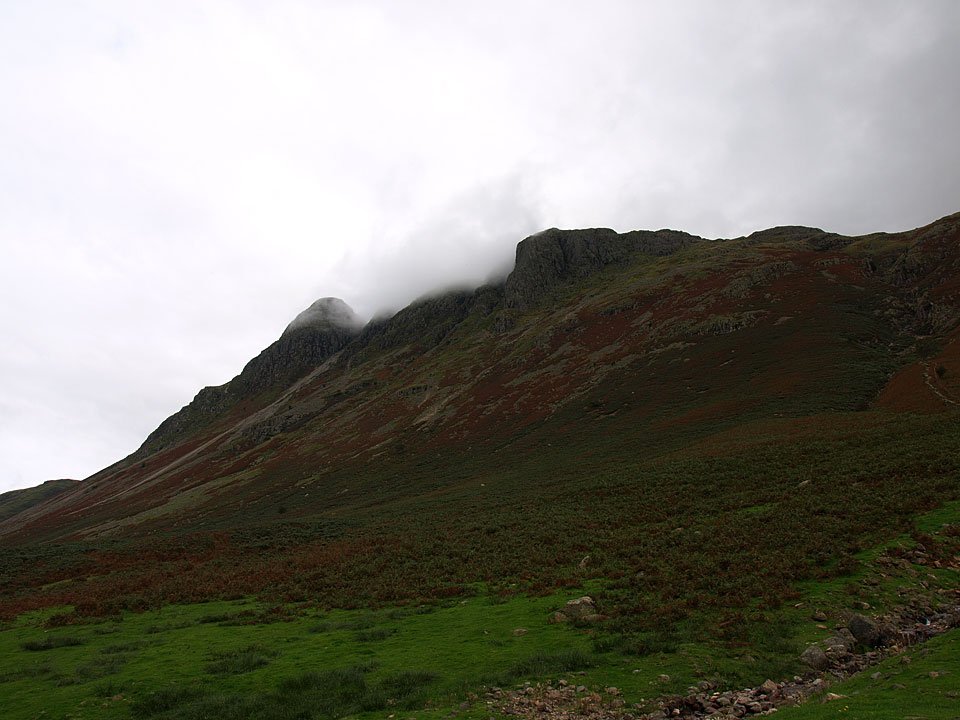
The Langdale Pikes, the cloud constantly forming on them then quickly disappearing.

08.09.08-213.jpg

Blue sky over Crinkle Crags as the weather has another change and there was a fair bit of sunshine around now.

08.09.08-214.jpg

Bowfell puts in its first appearance of the day.

08.09.08-219.jpg

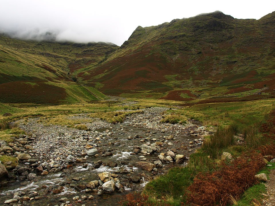
Sunshine on the Langdale Pikes from Great Langdale.
Share this…


  • Facebook


  • Twitter


  • Messenger


  • Whatsapp


  • Email

Previous walk Next walk

Walking Diary

  • The Mosedale Horseshoe 01/03/2022
  • Caw 18/01/2022
  • Coniston sunset 17/01/2022
  • Blencathra 15/01/2022
  • Scafell Pike 14/01/2022

Social

  • Facebook
  • Twitter

Information

  • Striding Edge
  • T&C’s
  • Privacy
  • Links