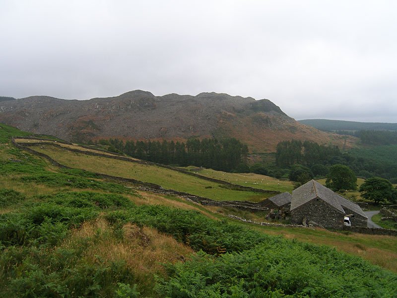
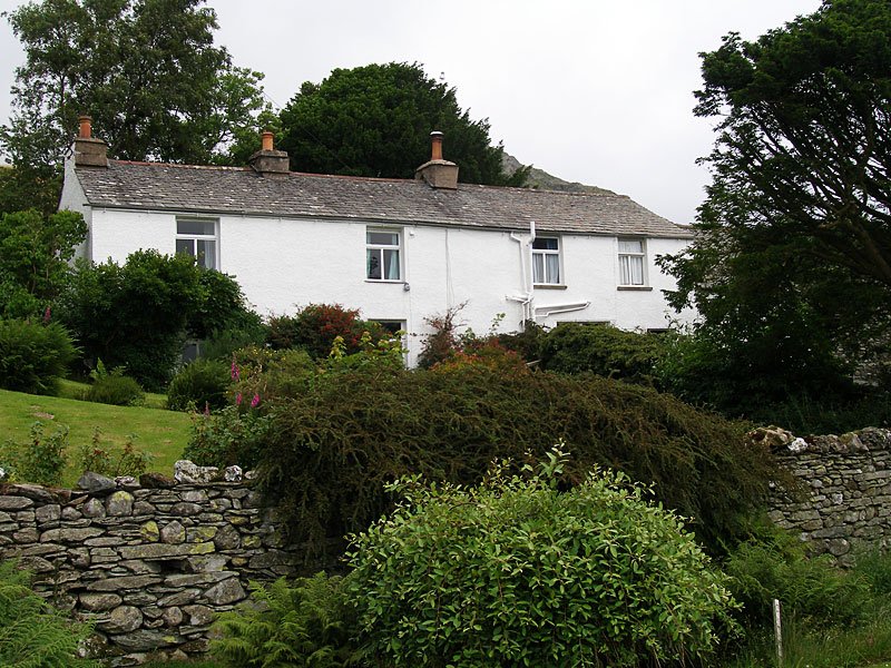
Start point: The Hawk (SD 239 924)
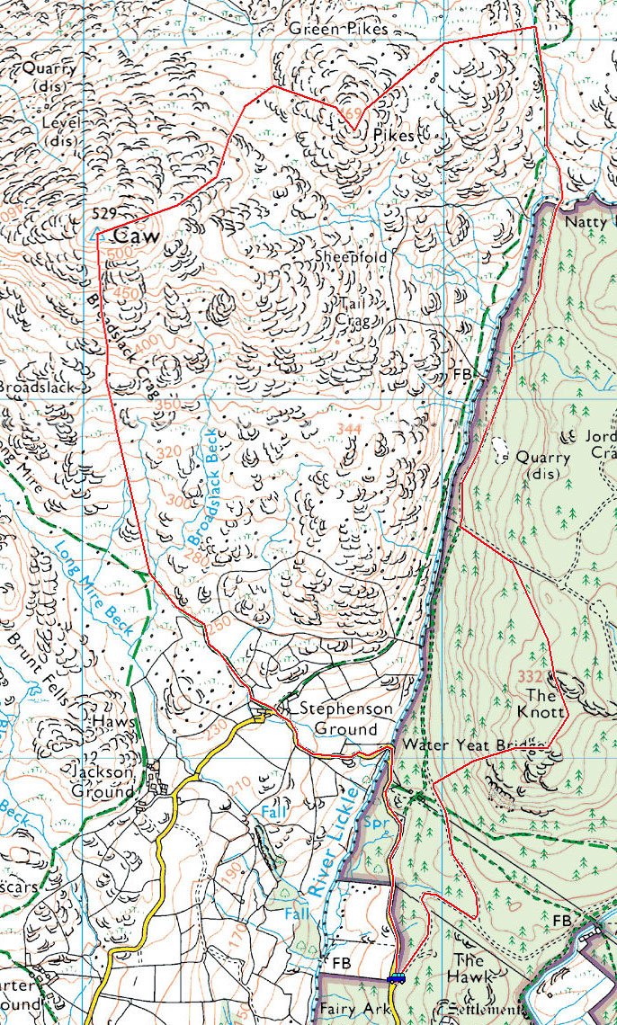
The Hawk – The Knott – Natty Bridge – Pikes (OF) – Caw (OF) – Long Mire – Stephenson Ground – Water Yeat Bridge -The Hawk
Distance: 4.5 miles Total Ascent: 500 metres Time Taken: 2 hours 30 minutes.
Weather: Dull and overcast, very still. 15oC.
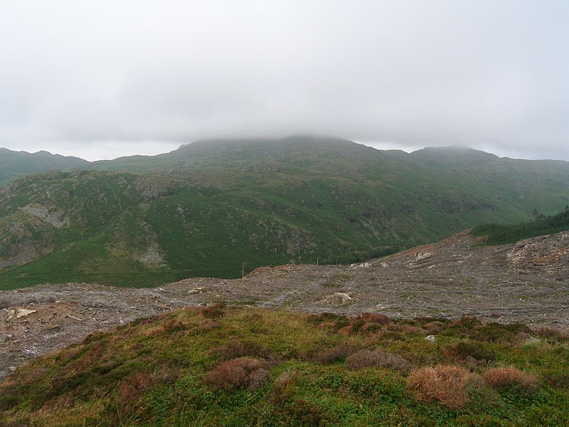
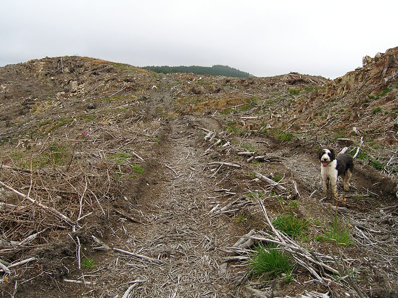
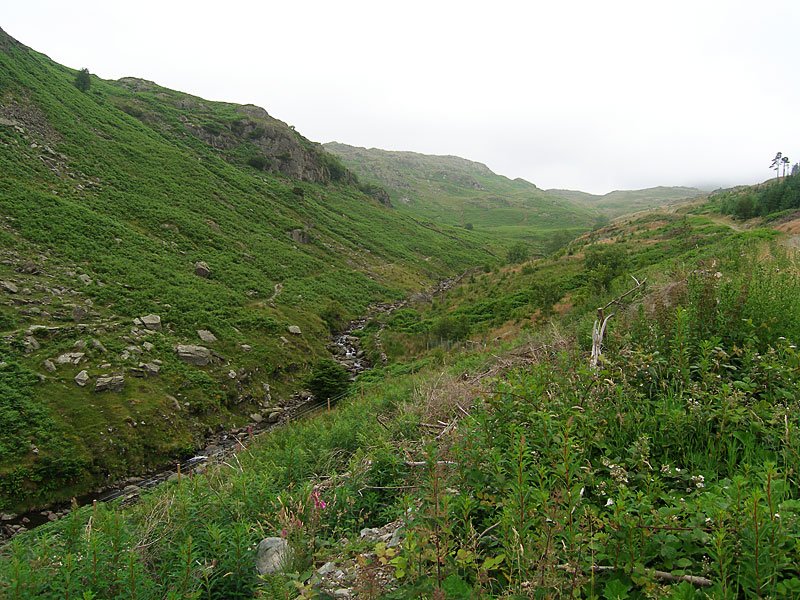
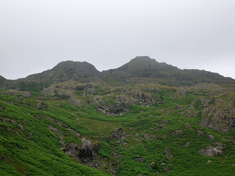
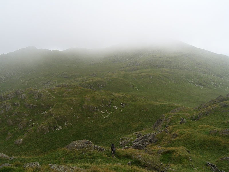
Relatively few visit the Lickle Valley, some perhaps have not heard of it but it is a lovely place – very quiet and removed from all manner of everyday life. It was a pity about the lack of views today as perhaps the photos do not show it at its best, so we will return when the skies are clearer. It almost felt as if we were pioneering on The Knott for this must surely be a different scene now the trees are removed.
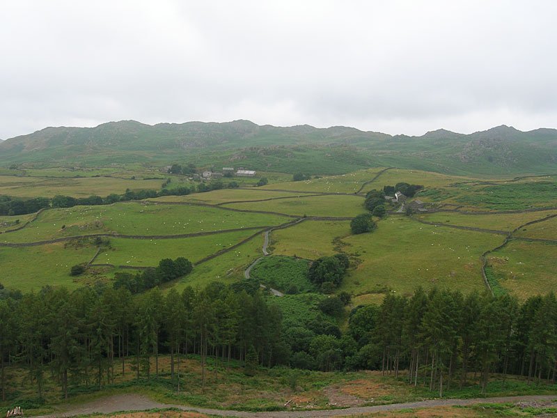
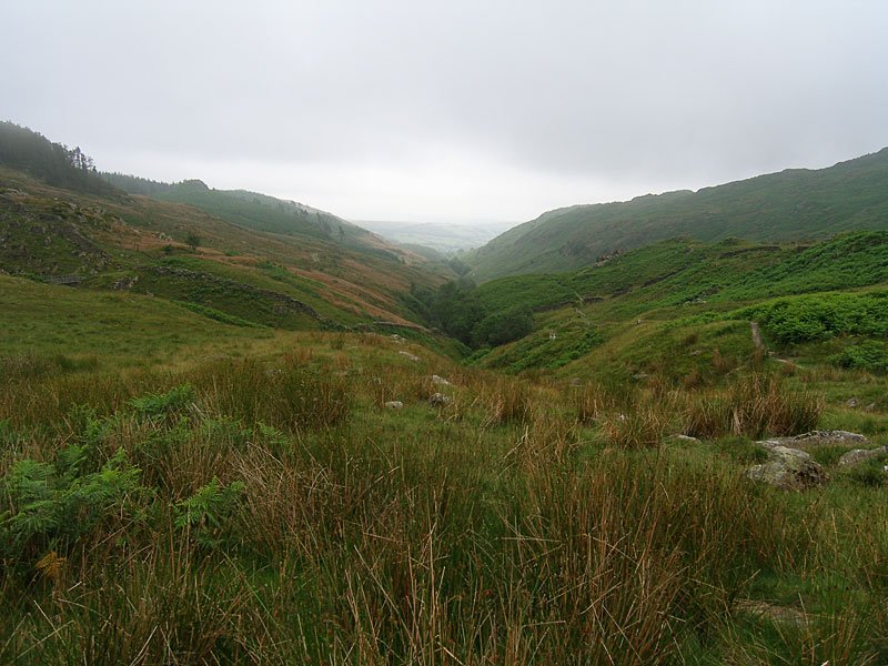
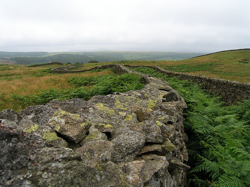
The Dunnerdale Fells across Carter Ground, Stephenson Ground and the Lickle Valley. The River Lickle is below the tree line at the bottom of the picture.
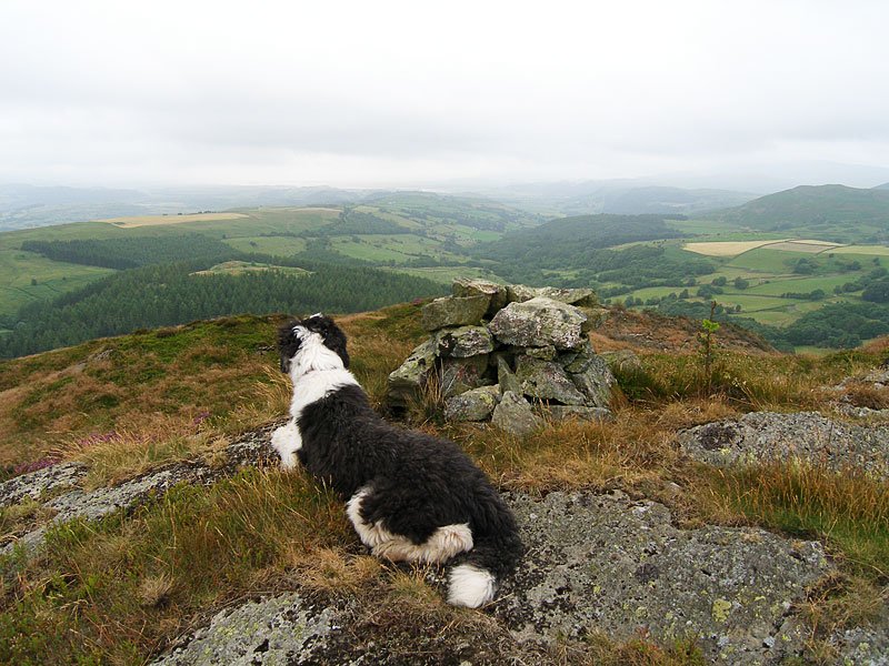
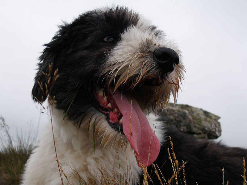
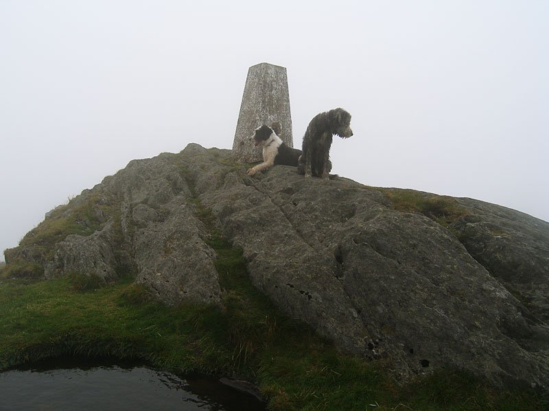
Casper settles down next to an ancient cairn on a prominence approaching The Knott. This area has recently been cleared of forestry and it has really open views now.
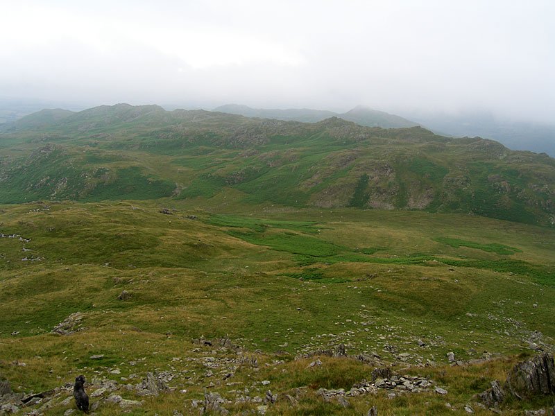
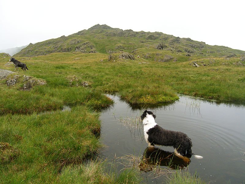
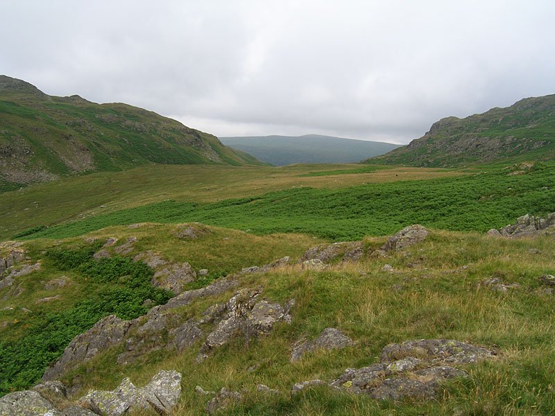
Looking across Long Mire on the descent of Caw - the ghostly peak beyond the near ridge is Stickle Pike.

