Striding Edge

A photo diary of Lake District fell walks

  • Walks
  • Fells
    • Wainwrights
      • Eastern Fells
      • Far Eastern Fells
      • Central Fells
      • Southern Fells
      • Northern Fells
      • North Western Fells
      • Western Fells
      • Outlying Fells
    • Birketts
  • Dogs
  • Love The Lakes
  • Contact

Blawith Knott

Walked on 06/07/2010

Start point: Woodland Fell road (SD 256 879)

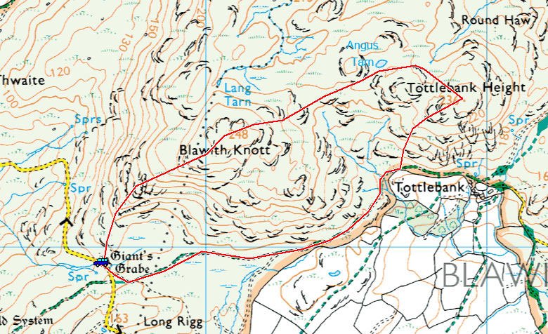
Woodland Fell Road – Blawith Knott (OF) – Angus Tarn – Tottlebank Height (OF) – Woodland Fell Road

Distance: 2 miles     Total Ascent: 156 metres     Time Taken: 50 minutes     Start Time: 08:30

Weather: Overcast. 16C

This must be about as far south and as far away in the Lake District as I could get from my last walk up to Binsey. The truth is I didn’t expect to get out anywhere at all this week but there is a lull in the shop preparations in Keswick as they are screeding the floor and we can’t get near today. That made today’s walk all the better and I always find Blawith Knott a good shorter walk.

The Keswick shop open this weekend so if you are in the area, please call in and see us – we will all be there including Dougal and Casper and it would be great to have a chat.

 

Blawith-Knott_map

Blawith Knott route map.

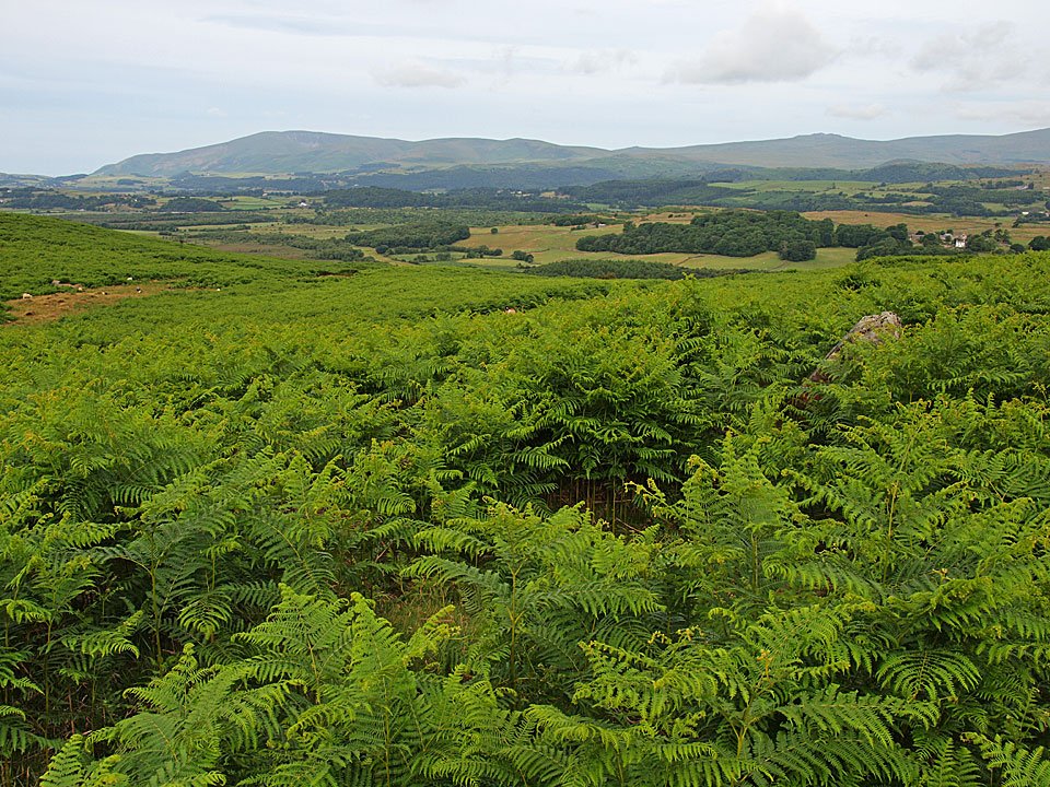
06.07.10-002

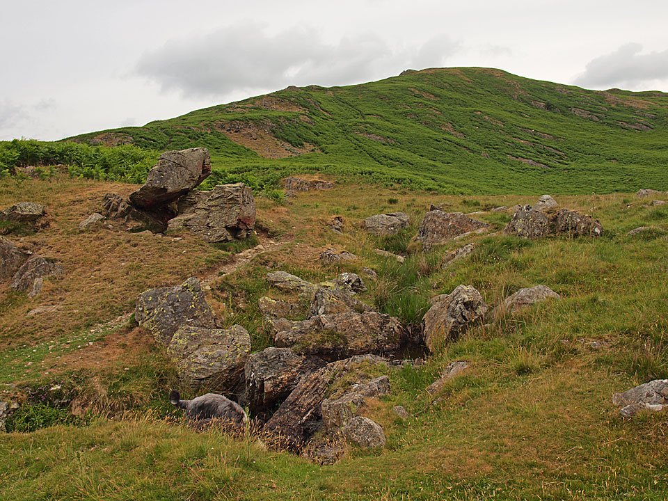
Giant's Grave is almost completely obscured by the bracken (centre right) looking across to Black Combe.

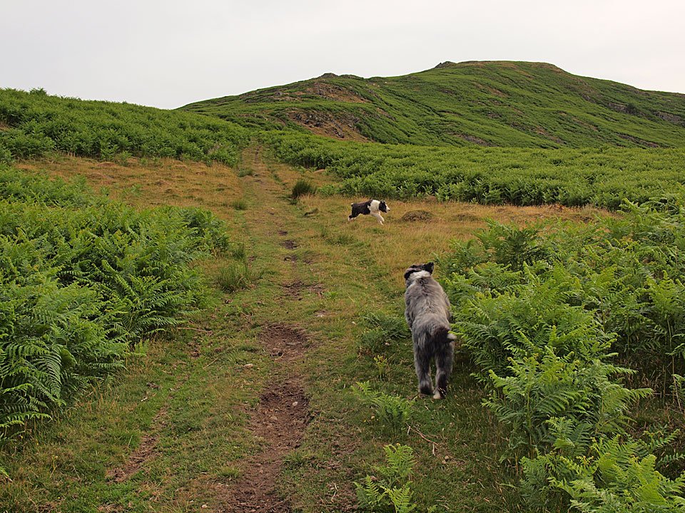
06.07.10-004

A spring in their steps on the way to Blawith Knott.

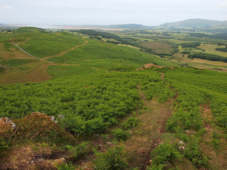
06.07.10-009

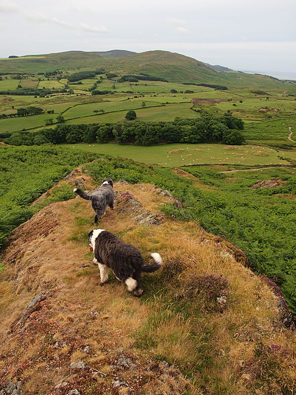
Looking back down to the Duddon Estuary.

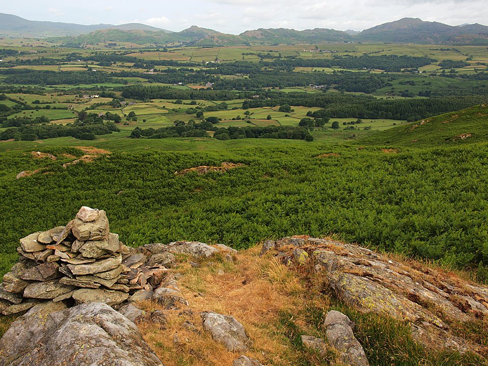
06.07.10-012

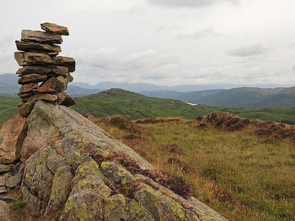
Stickle Pike, the Dunnerdale Fells and Caw from the western summit cairn.

06.07.10-025

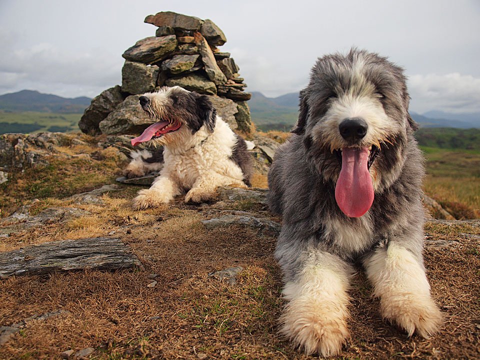
Casper and Dougal on Blawith Knott.

06.07.10-035

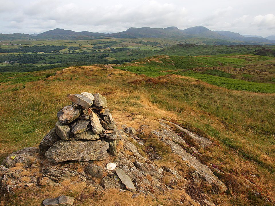
The Coniston fells from Blawith Knott.

06.07.10-038

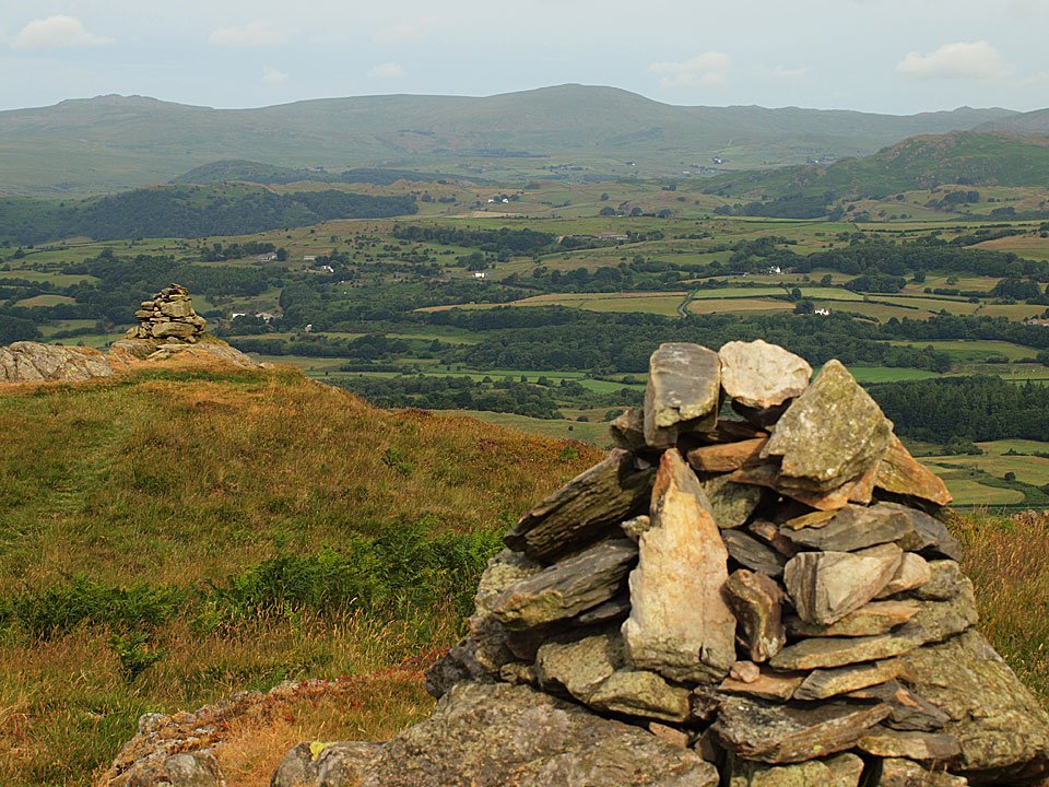
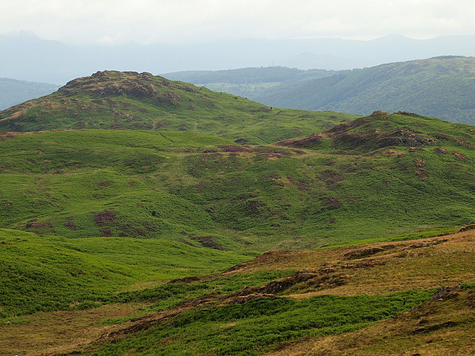
The two cairns and Whitfell.

06.07.10-041

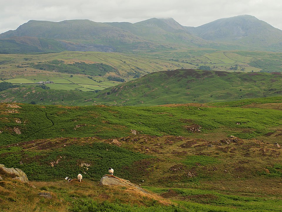
The cloud is lifting from the Coniston fells.

06.07.10-044

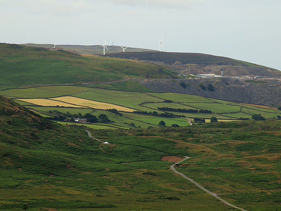
Windmills and spoil heaps on Kirkby Moor.

06.07.10-046

Beacon Fell and Wool Knott.

06.07.10-049

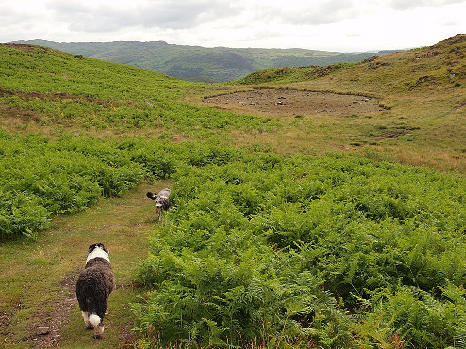
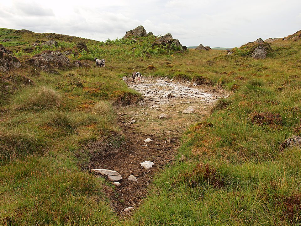
Heading for dry Angus Tarn.

06.07.10-053

The boys have a swim!

06.07.10-057

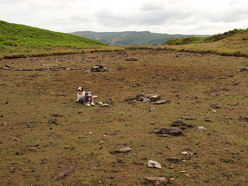
No water here either Casper.

06.07.10-060

Tottlebank Height and the merest glimpse of Coniston Water to the right of Beacon Fell.

06.07.10-067

Tongue unfurled Casper.

06.07.10-074

Descending the mighty Tottlebank Height Edge.

06.07.10-077

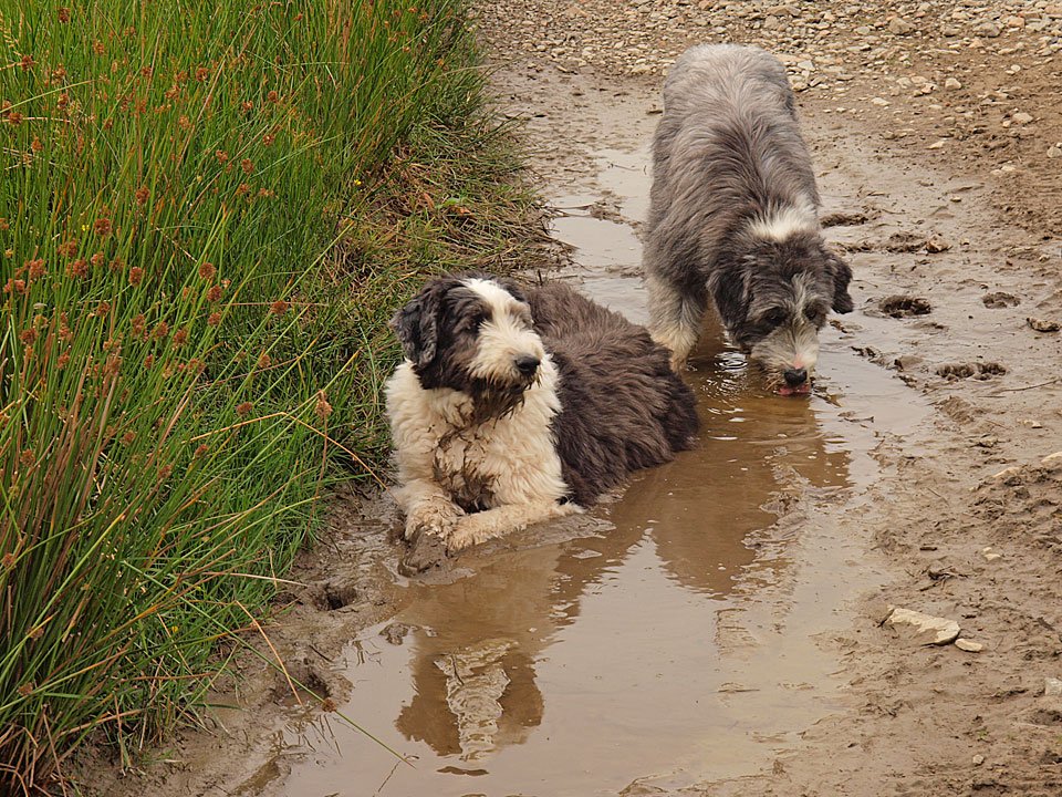
Well, I guess they found some water at last - nice!

06.07.10-081

Those two are getting cleaned up in the beck at the base of Blawith Knott (bottom).

Share this…


  • Facebook


  • Twitter


  • Messenger


  • Whatsapp


  • Email

Previous walk Next walk

Walking Diary

  • The Mosedale Horseshoe 01/03/2022
  • Caw 18/01/2022
  • Coniston sunset 17/01/2022
  • Blencathra 15/01/2022
  • Scafell Pike 14/01/2022

Social

  • Facebook
  • Twitter

Information

  • Striding Edge
  • T&C’s
  • Privacy
  • Links