Striding Edge

A photo diary of Lake District fell walks

  • Walks
  • Fells
    • Wainwrights
      • Eastern Fells
      • Far Eastern Fells
      • Central Fells
      • Southern Fells
      • Northern Fells
      • North Western Fells
      • Western Fells
      • Outlying Fells
    • Birketts
  • Dogs
  • Love The Lakes
  • Contact

Great Burney

Walked on 25/04/2006

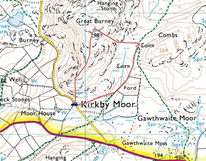
Start point: Woodland Fell road (SD 259 852)

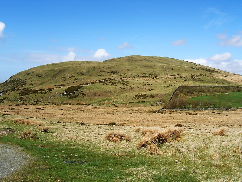
Burney (OF) from the Woodland Fell Road

Distance: 1.5 miles     Total Ascent: 150 metres     Time Taken: 1 hour

Weather: Sunny with a stiff breeze. 13oC.

Today was a day of two halves – raining and dreary this morning, clearing in the afternoon to give bright sunshine and blue skies. Great Burney lies on the south western edge of the Lake District National Park and is easily reached from the main A5092 road for an easy ascent with lovely views.

01 Great Burney

25.04.06-001

Great Burney from the Woodland Fell road. The route of ascent is along the wall to the right and the route of descent is the track heading diagonally left.

25.04.06-004

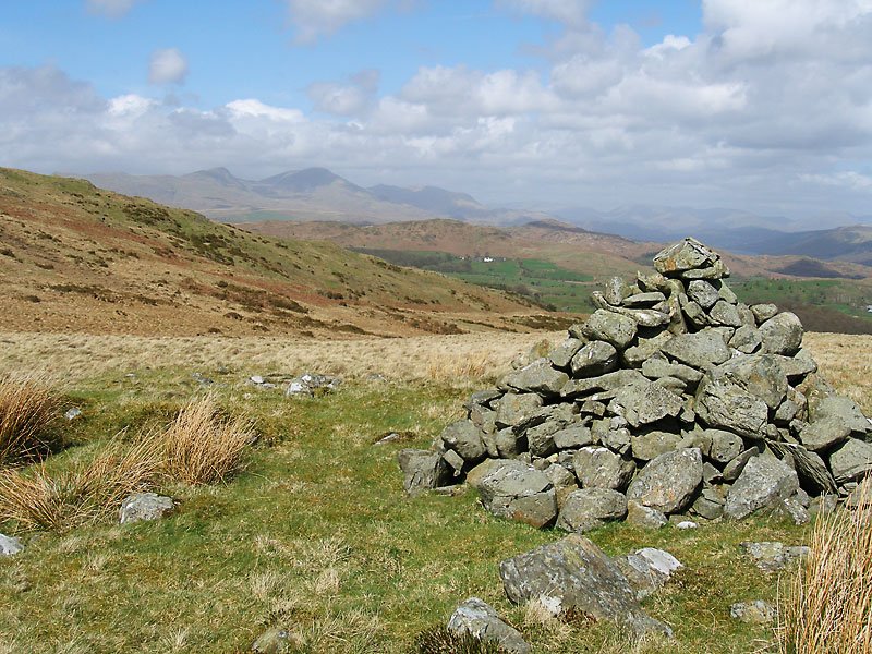
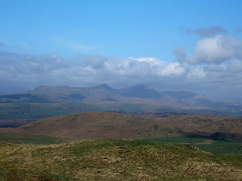
The Coniston fells from the cairn between Great Burney and Coombs.

25.04.06-008

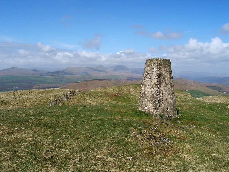
Great Burney summit looking to Caw and Coniston.

25.04.06-014

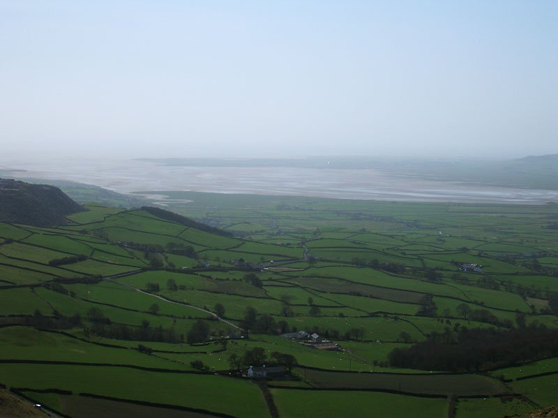
The Duddon Estuary over the green fields.

25.04.06-015

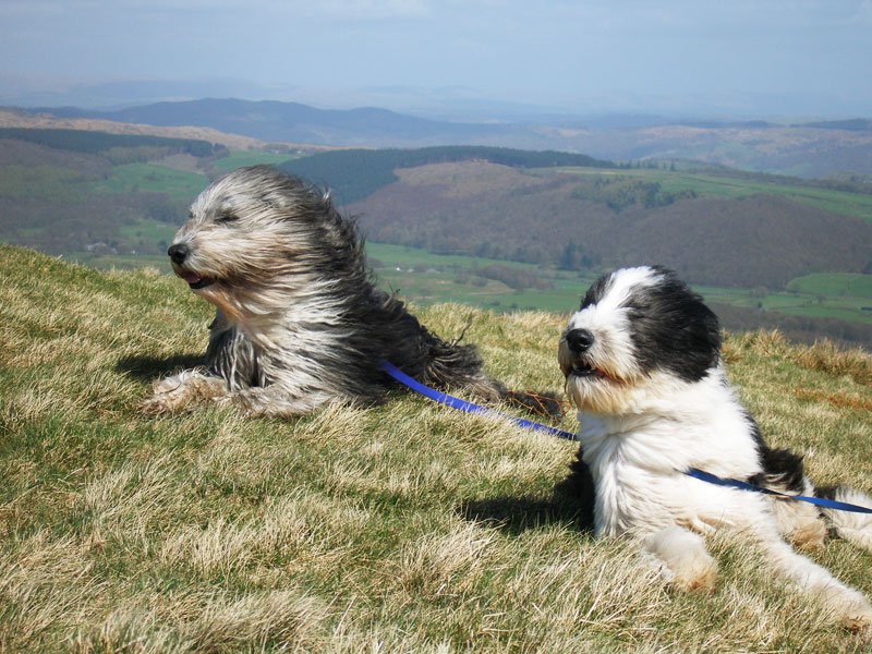
There was a cool, stiff breeze on the top - it looks as if Angus' lead has skewered Casper here!

25.04.06-023

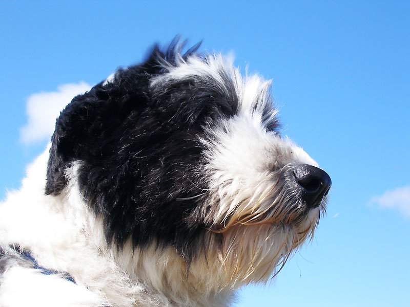
Casper.

25.04.06-025

The Coniston fells.

25.04.06-027

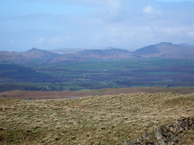
Stickle Pike and Caw.

25.04.06-051

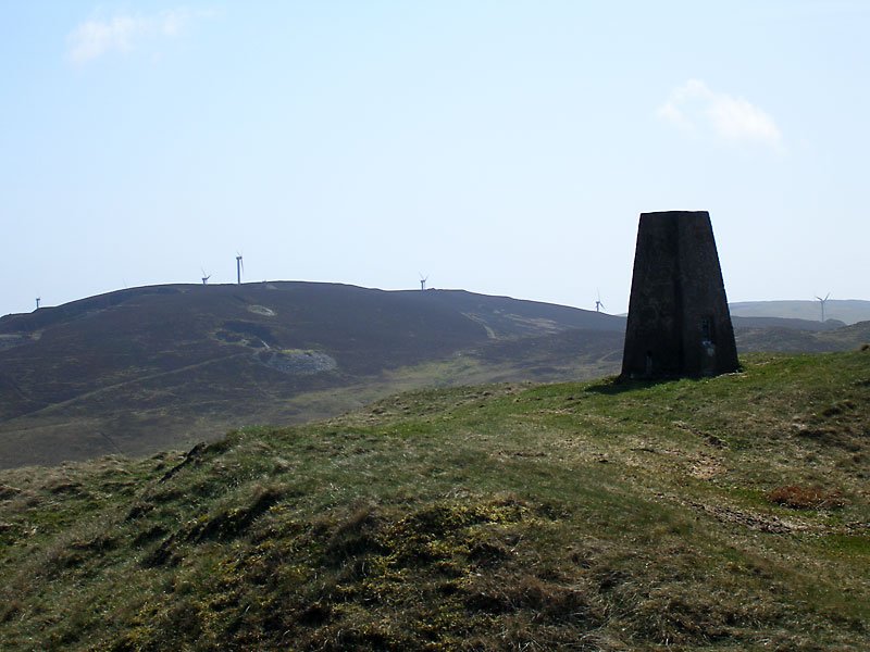
Windmills on Kirkby Moor to the south.

25.04.06-055

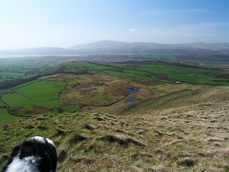
Looking over Burney Tarn and the Duddon Estuary to Black Combe.

Share this…


  • Facebook


  • Twitter


  • Messenger


  • Whatsapp


  • Email

Previous walk Next walk

Walking Diary

  • The Mosedale Horseshoe 01/03/2022
  • Caw 18/01/2022
  • Coniston sunset 17/01/2022
  • Blencathra 15/01/2022
  • Scafell Pike 14/01/2022

Social

  • Facebook
  • Twitter

Information

  • Striding Edge
  • T&C’s
  • Privacy
  • Links