Striding Edge

A photo diary of Lake District fell walks

  • Walks
  • Fells
    • Wainwrights
      • Eastern Fells
      • Far Eastern Fells
      • Central Fells
      • Southern Fells
      • Northern Fells
      • North Western Fells
      • Western Fells
      • Outlying Fells
    • Birketts
  • Dogs
  • Love The Lakes
  • Contact

Threshthwaite Horseshoe

Walked on 08/10/2007

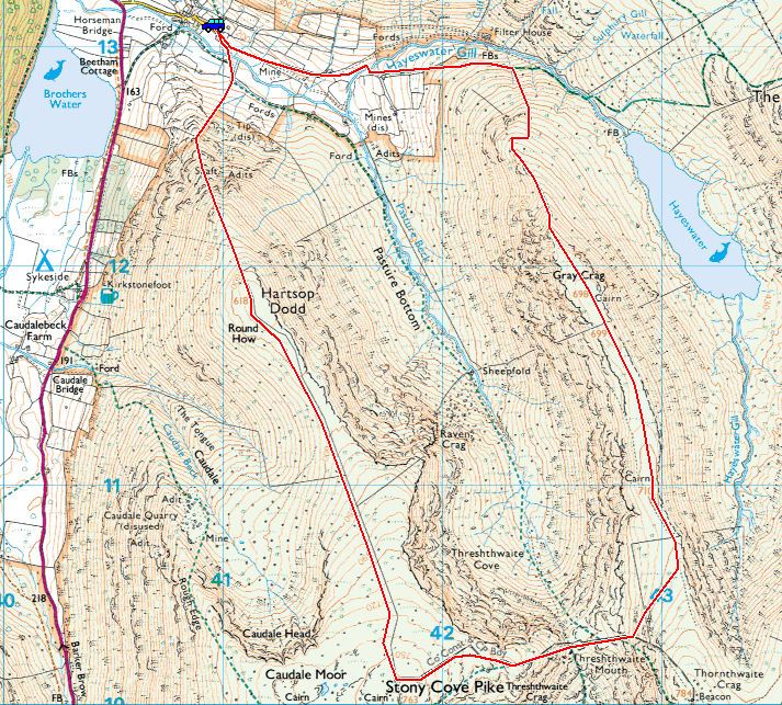
Start point: Hartsop (NY 410 130)

Hartsop – Hartsop Dodd – Caudale Moor (Stony Cove Pike) – Threshthwaite Mouth – Gray Crag – Hartsop

Distance: 5.5 miles     Total Ascent: 775 metres     Time Taken: 2 hours 45 minutes

Weather: Initially clear then cloud. 10oC.

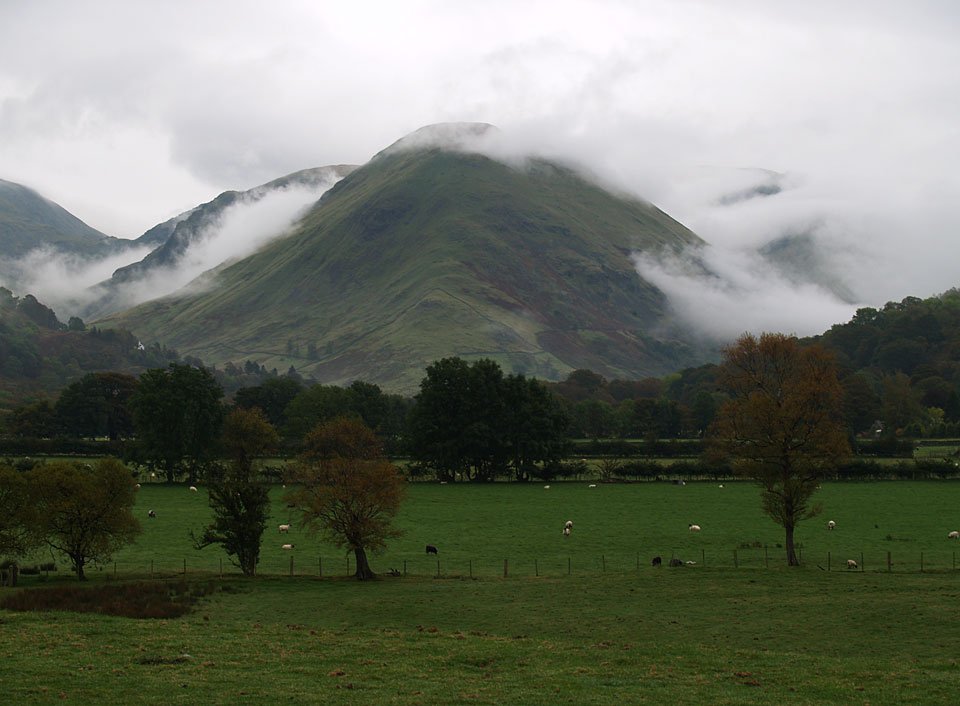
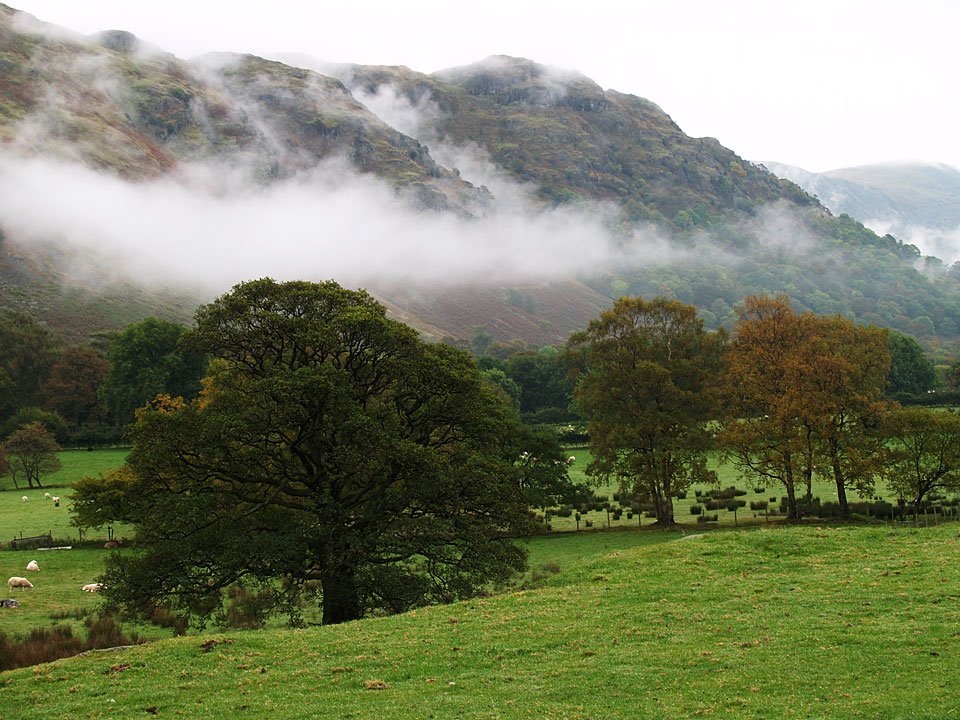
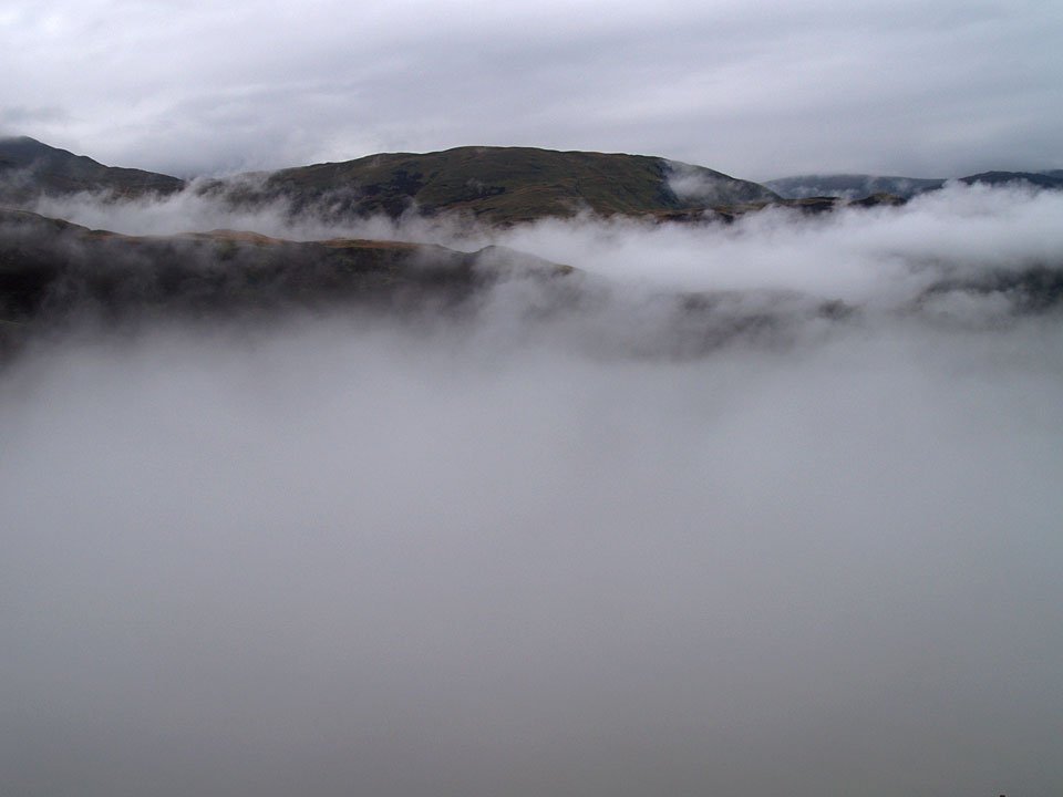
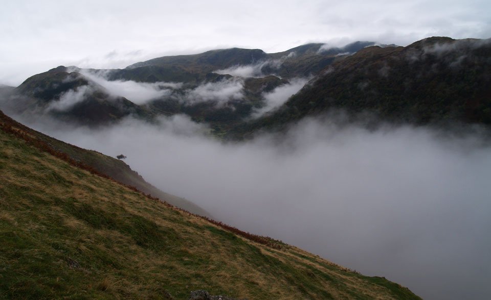
I didn’t know what to expect today, I certainly didn’t expect any clear photos as it was raining so much! As I went over Kirkstone Pass, there was a certain amount of clarity around Hartsop, so that’s what I settled on. The clouds were hanging around in thick layers in the valleys but eventually it lifted to cover the tops and the highest part of the walk was completed in the mist.

Threshthwaite Horseshoe

08.10.07-006

Hartsop Dodd.

08.10.07-003

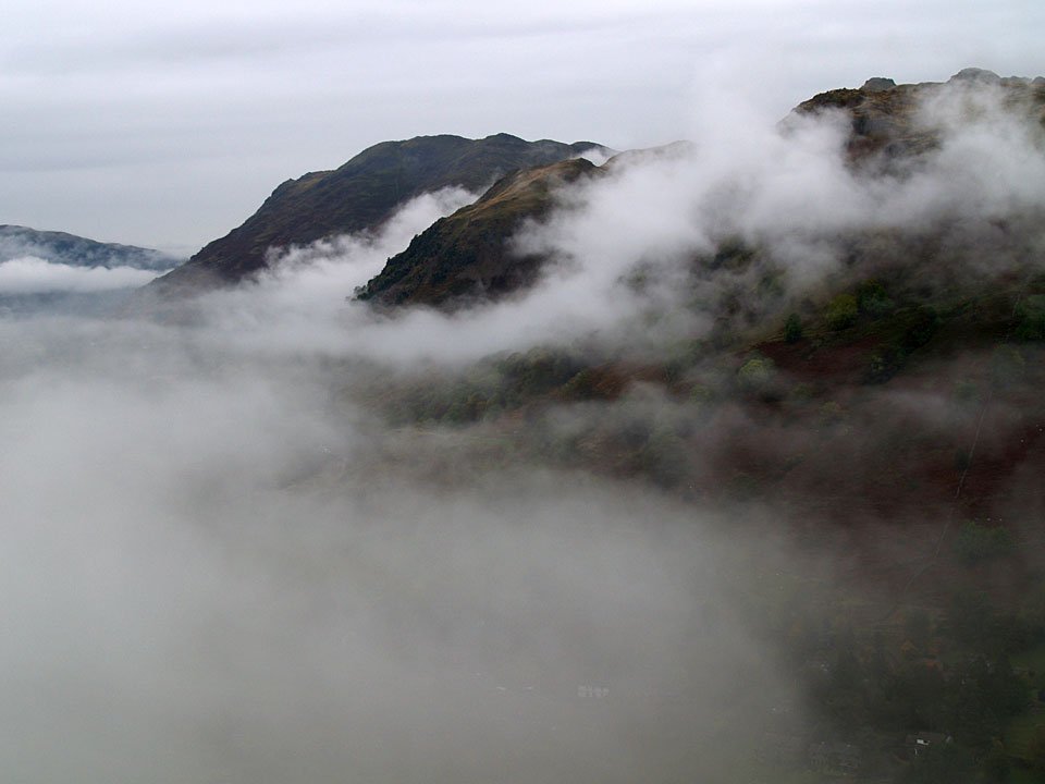
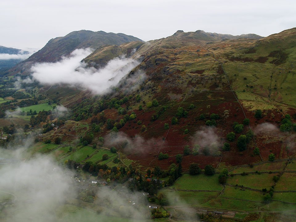
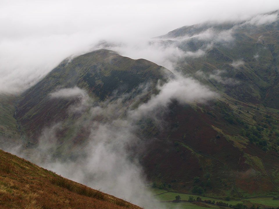
Clouds hanging on the side of Angletarn Pikes.

08.10.07-010

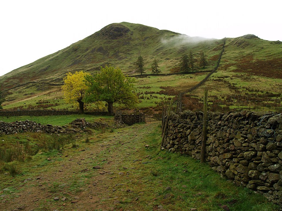
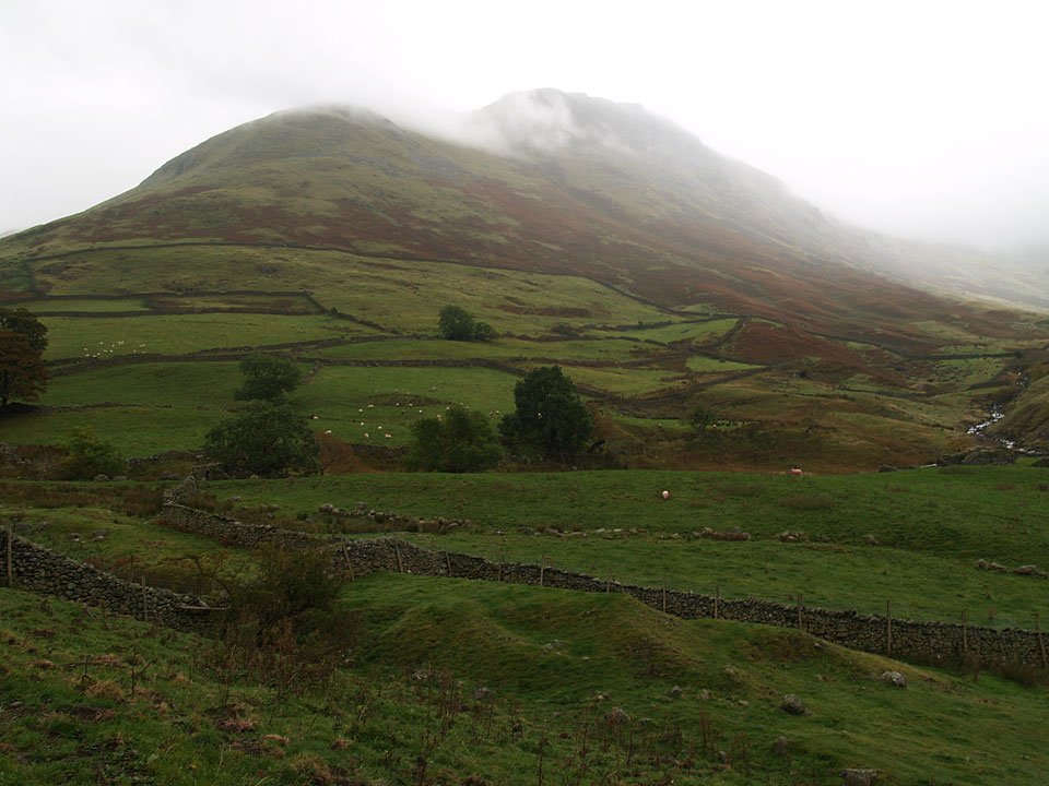
At the bottom of Hartsop Dodd, the steep ascent is straight up alongside the wall.

08.10.07-016

Lingy Crag above Hartsop village from the climb to Hartsop Dodd.

08.10.07-023

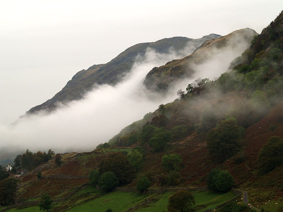
Looking over to Saint Sunday Crag across the low lying clouds.

08.10.07-024

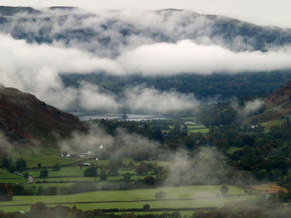
Angletarn Pikes with Hartsop through the mist, bottom..

08.10.07-027

Looking over Brothers Water to Dovedale.

08.10.07-029

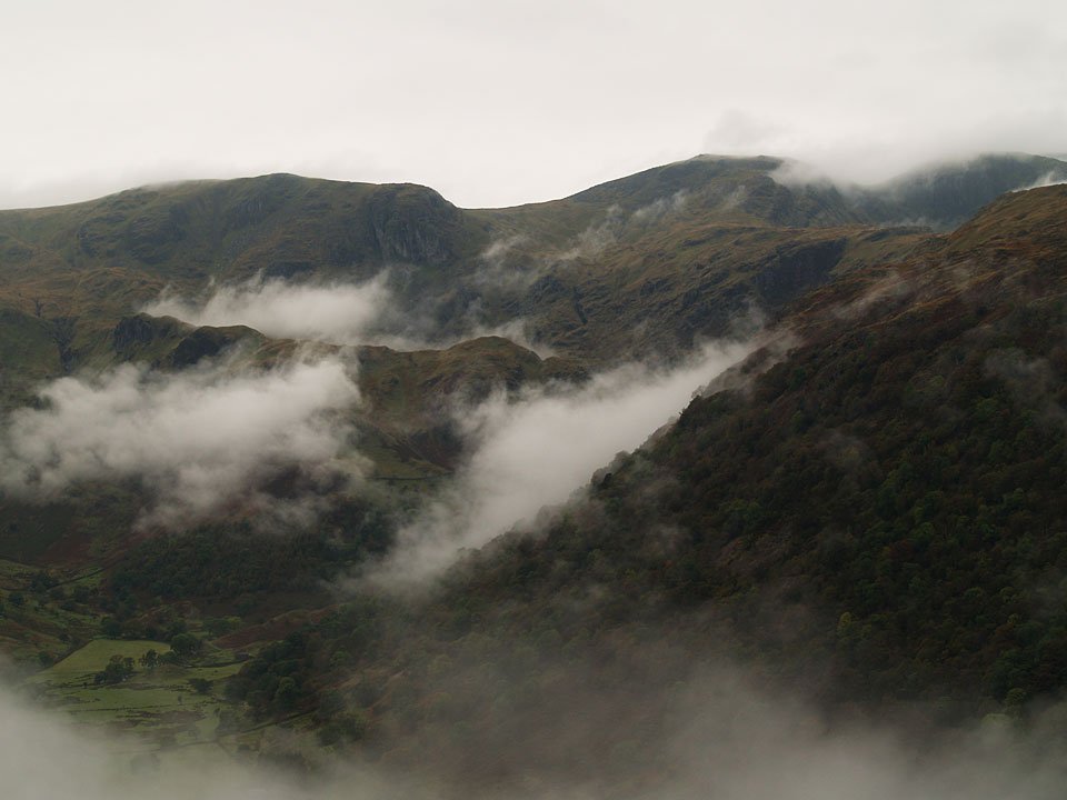
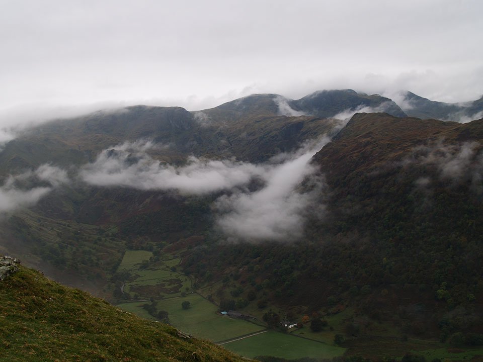
Dovedale.

08.10.07-031

A glimpse of Ullswater through the clouds in Patterdale.

08.10.07-035

Place Fell and Angletarn Pikes.

08.10.07-038

Looks like it is clearing out a bit over Patterdale now.

08.10.07-040

Dove Crag, Hart Crag and Fairfield.

08.10.07-041

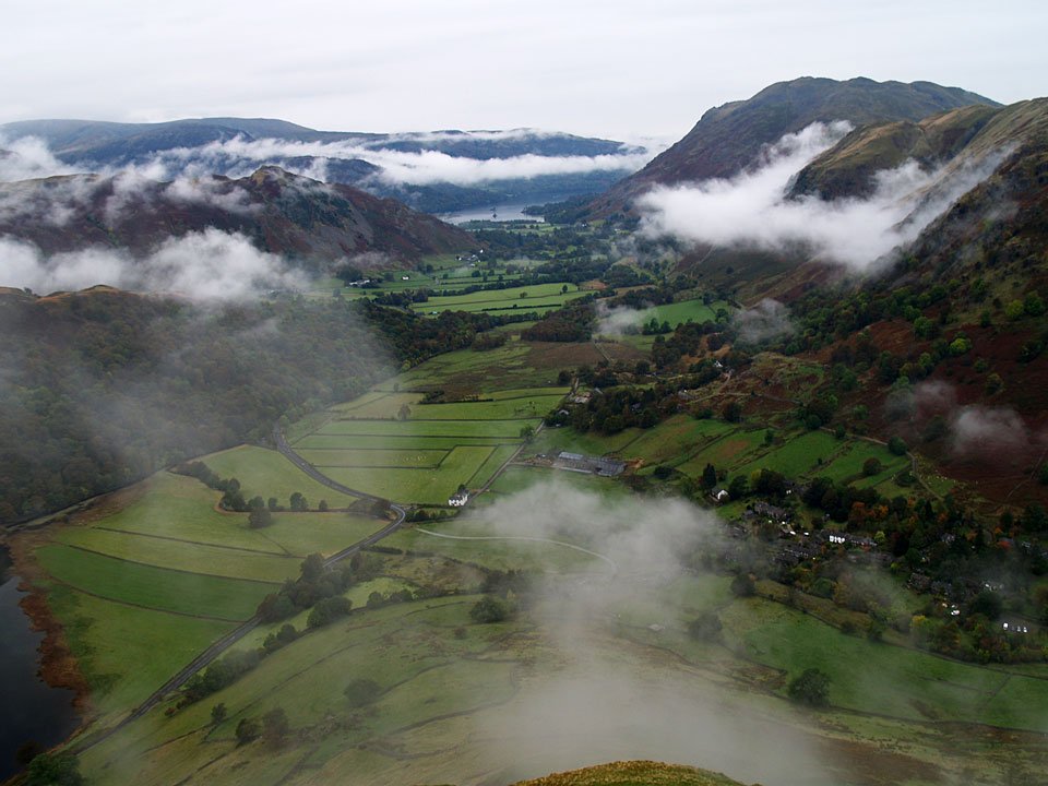
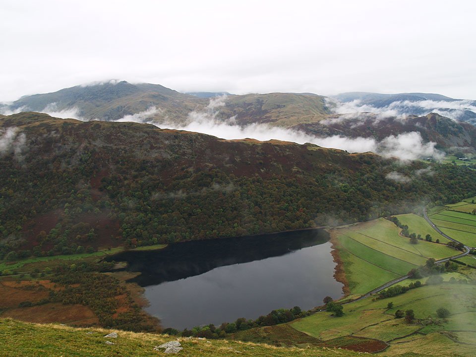
Brothers Water and Hartsop above How with Saint Sunday Crag beyond.

08.10.07-046

Middle Dodd.

08.10.07-047

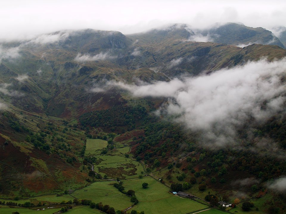
Dovedale.

08.10.07-050

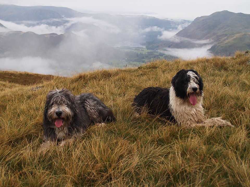
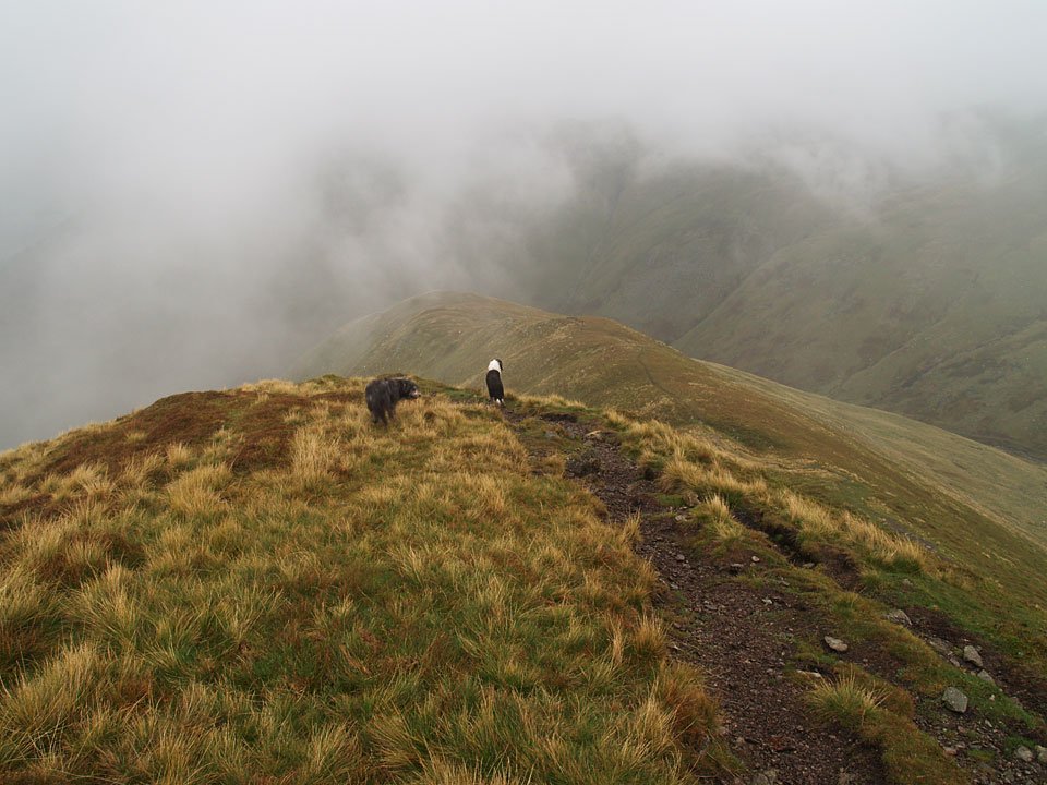
Angus and Casper on Hartsop Dodd.

08.10.07-053

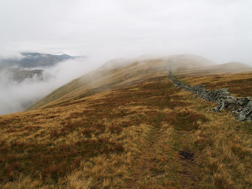
Looking back to Hartsop Dodd summit from the ridge walk to Caudale Moor....and that was it! It was up into the clouds onto Caudale Moor, remaining in them descending to Threshthwaite Mouth, up to Gray Crag and along the ridge.

08.10.07-057

Out of the clouds at last and over the steep descent of Gray Crag.

08.10.07-064

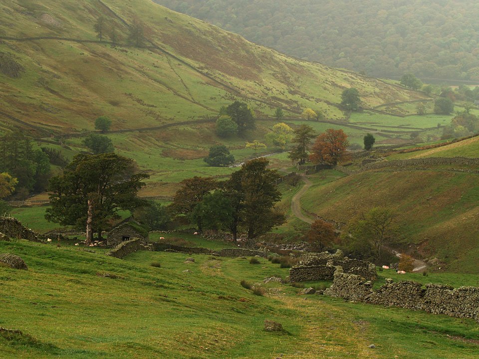
Hartsop.

08.10.07-070

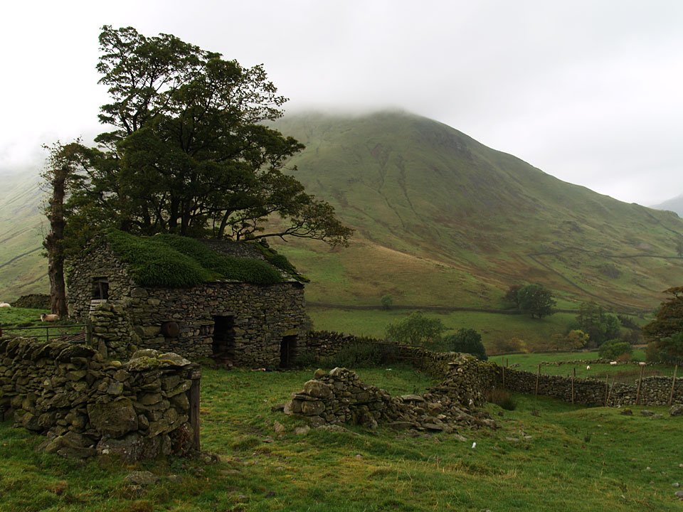
The top of Hartsop Dodd in cloud now beyond this old barn.

08.10.07-072

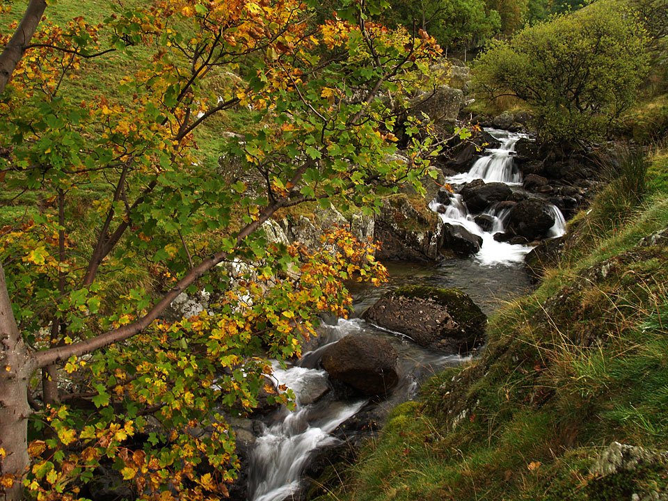
Hayeswater Gill.

08.10.07-079

Looking back to Gray Crag.

Share this…


  • Facebook


  • Twitter


  • Messenger


  • Whatsapp


  • Email

Previous walk Next walk

Walking Diary

  • The Mosedale Horseshoe 01/03/2022
  • Caw 18/01/2022
  • Coniston sunset 17/01/2022
  • Blencathra 15/01/2022
  • Scafell Pike 14/01/2022

Social

  • Facebook
  • Twitter

Information

  • Striding Edge
  • T&C’s
  • Privacy
  • Links