Striding Edge

A photo diary of Lake District fell walks

  • Walks
  • Fells
    • Wainwrights
      • Eastern Fells
      • Far Eastern Fells
      • Central Fells
      • Southern Fells
      • Northern Fells
      • North Western Fells
      • Western Fells
      • Outlying Fells
    • Birketts
  • Dogs
  • Love The Lakes
  • Contact

Blawith Knott

Walked on 03/11/2013

Start point: Woodland Fell road (SD 256 879)

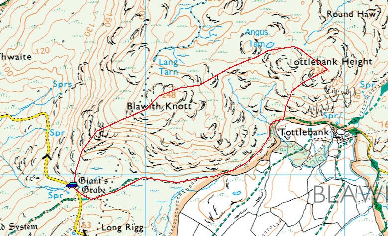
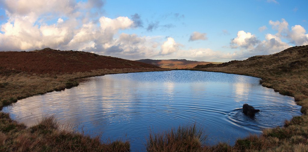
Woodland Fell Road – Blawith Knott (OF) – Angus Tarn – Tottlebank Height (OF) – Woodland Fell Road

Distance: 2 miles     Total Ascent: 156 metres     Time Taken: 1 hour 15 minutes     Start Time: 14:50

Weather: Cool. 7oC

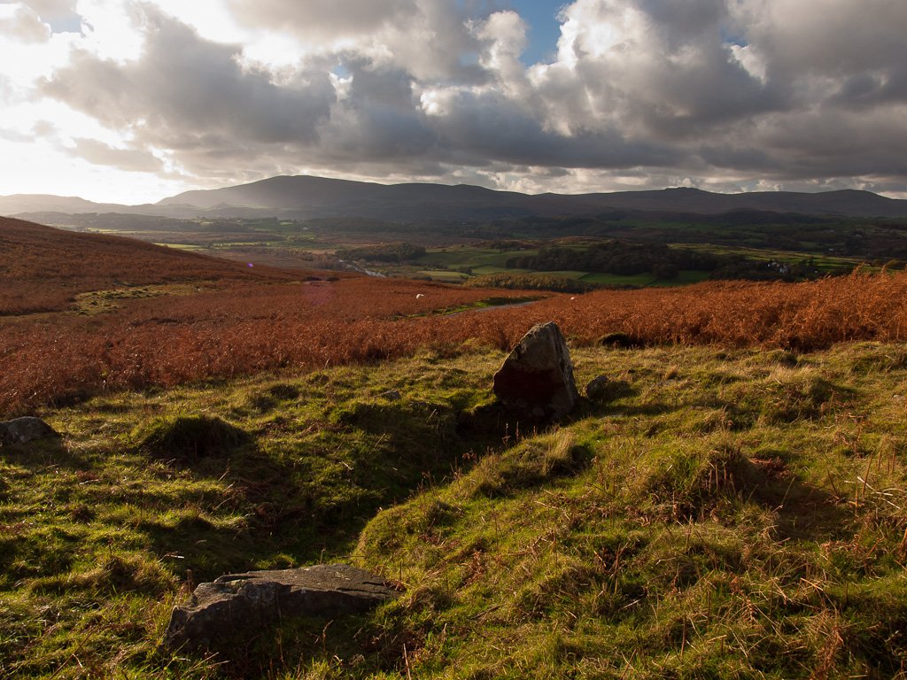
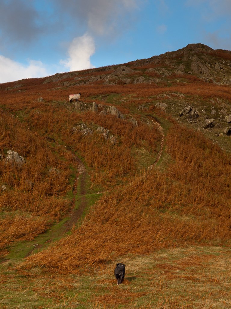
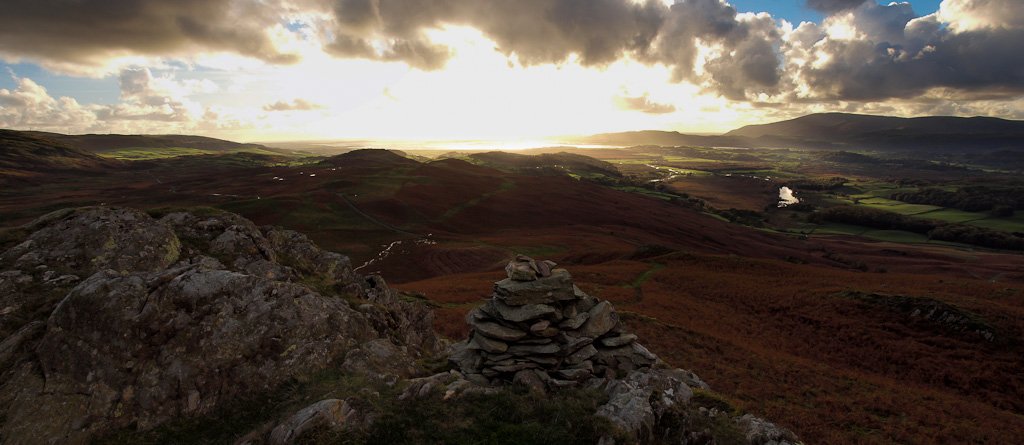
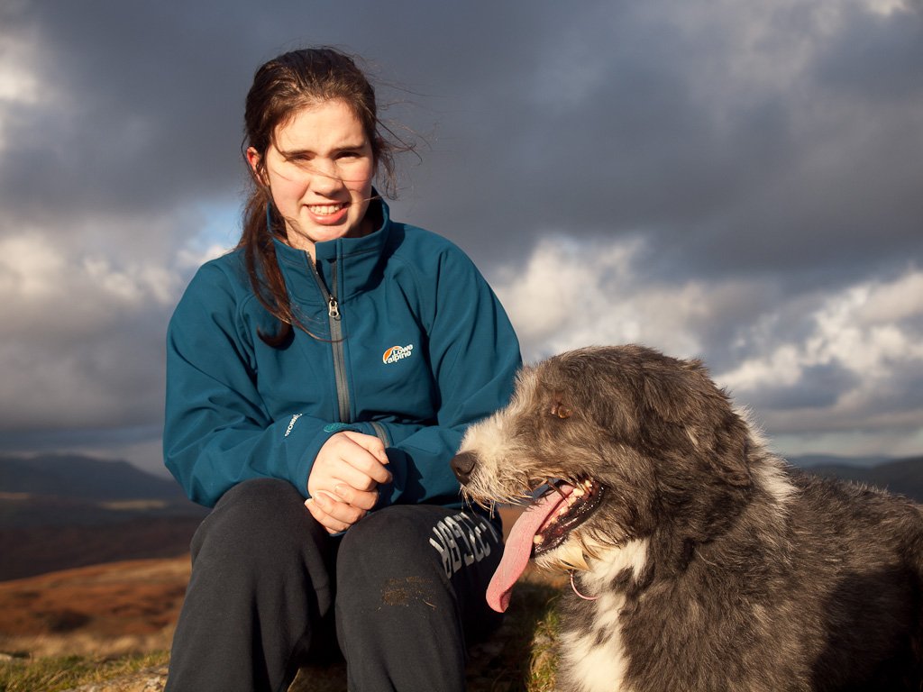
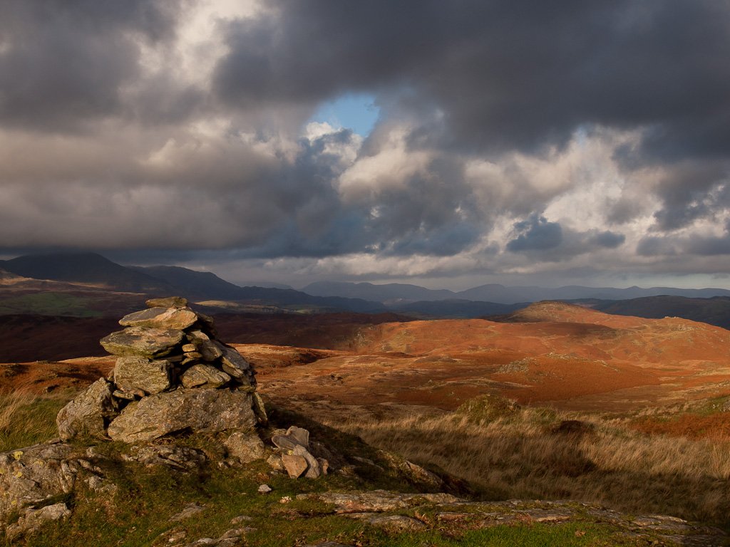
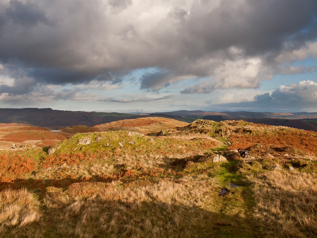
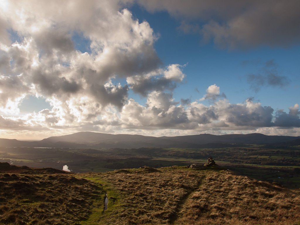
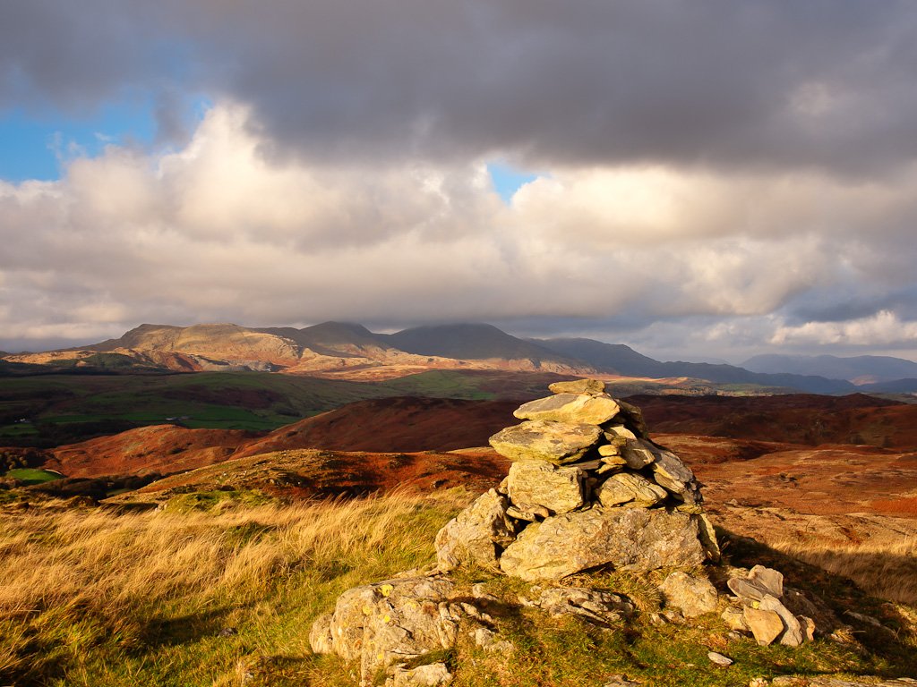
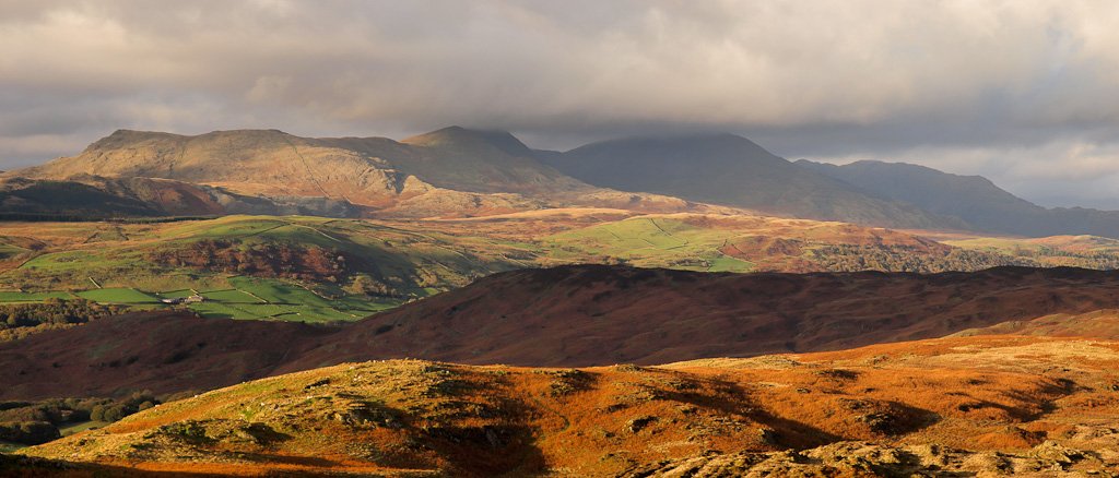
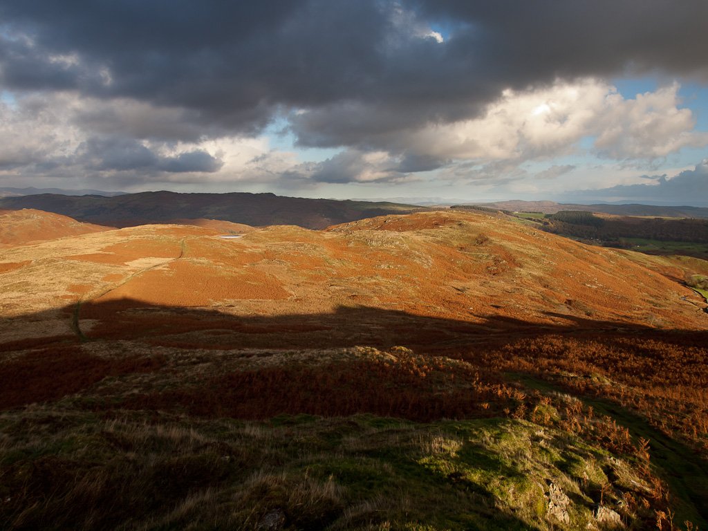
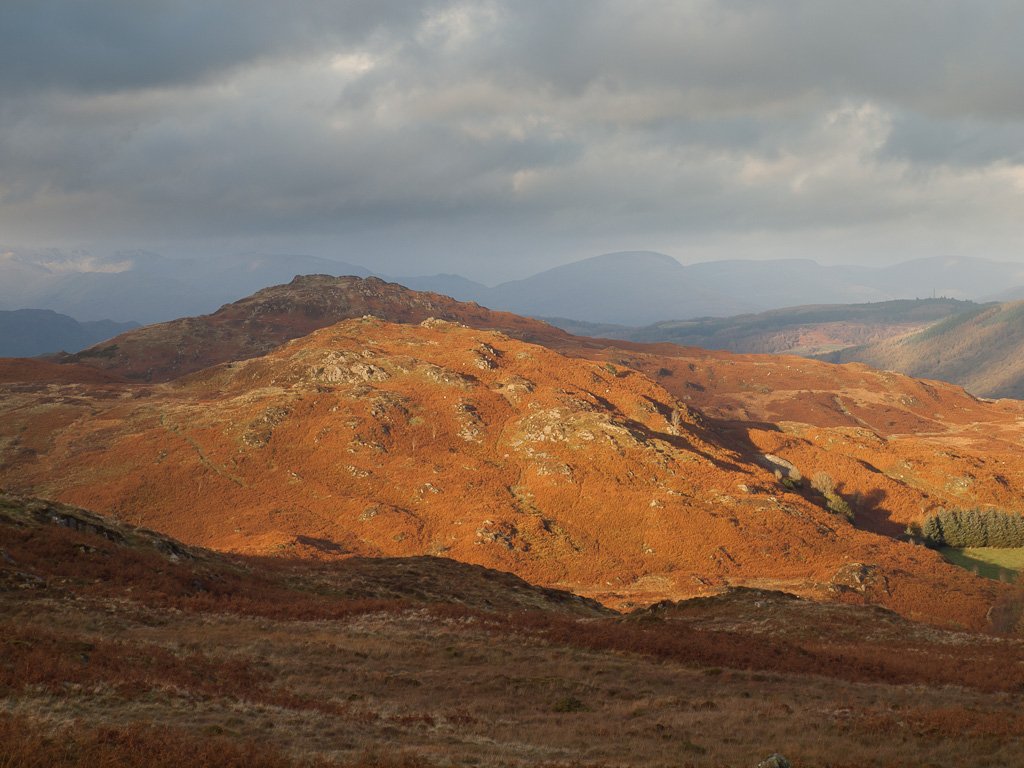
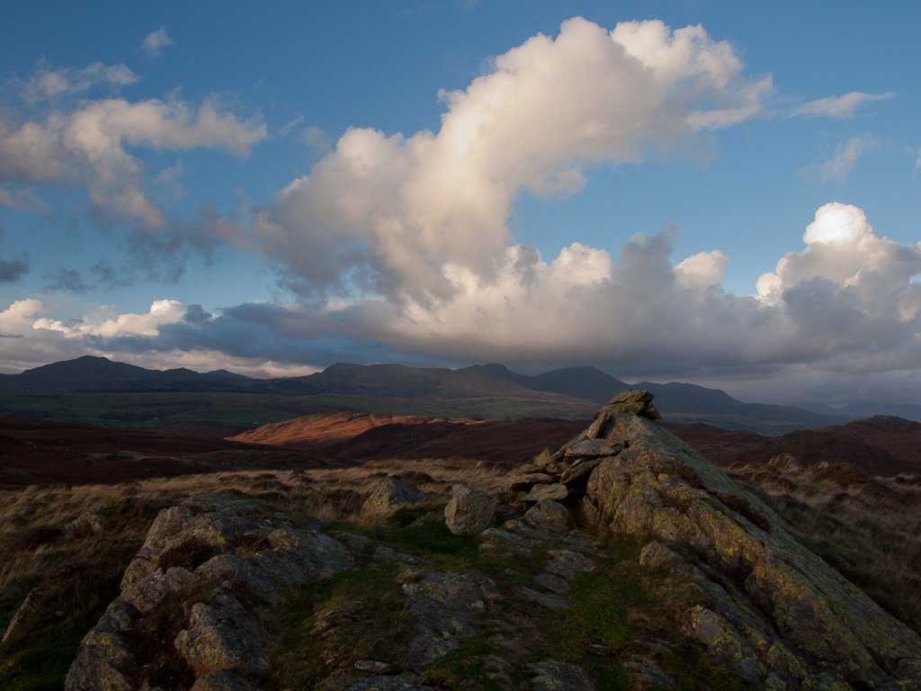
The weather was surprisingly good this afternoon – it felt windy at valley level, yet up on the fells not so bad! This is a lovely little walk, another of our favourites and not a soul to be seen around here.

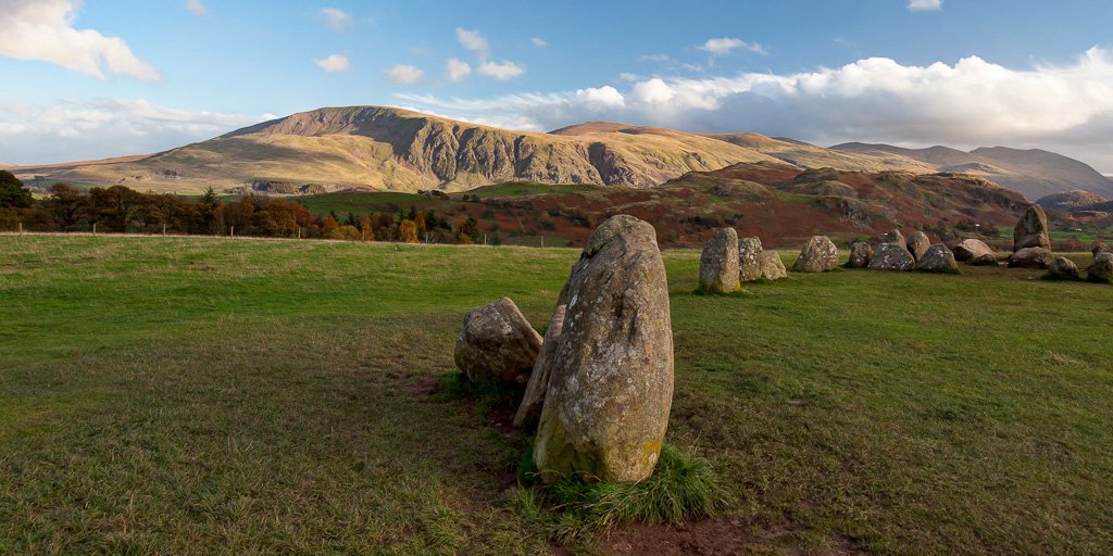
Firstly, a few shots taken of Friday from Castlerigg Stone Circle…

01 Blawith-Knott_map.jpg
PB015225_6_7_stitch.jpg
PB015234_5_6_stitch-Edit.jpg
PB015243_4_stitch.jpg
PB035249
PB035257-Edit
PB035261
PB035271_stitch
PB035284
PB035290
PB035295
PB035300
PB035306_7_8
PB035321_stitch
PB035322
PB035329_stitch
PB035336
PB035356
PB035376_7_8

Share this…


  • Facebook


  • Twitter


  • Messenger


  • Whatsapp


  • Email

Previous walk Next walk

Walking Diary

  • The Mosedale Horseshoe 01/03/2022
  • Caw 18/01/2022
  • Coniston sunset 17/01/2022
  • Blencathra 15/01/2022
  • Scafell Pike 14/01/2022

Social

  • Facebook
  • Twitter

Information

  • Striding Edge
  • T&C’s
  • Privacy
  • Links