Striding Edge

A photo diary of Lake District fell walks

  • Walks
  • Fells
    • Wainwrights
      • Eastern Fells
      • Far Eastern Fells
      • Central Fells
      • Southern Fells
      • Northern Fells
      • North Western Fells
      • Western Fells
      • Outlying Fells
    • Birketts
  • Dogs
  • Love The Lakes
  • Contact

Blawith Knott & Tottlebank Height

Walked on 20/08/2012

Start point: Woodland Fell road (SD 256 879)

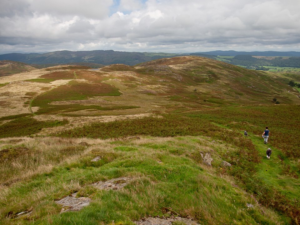
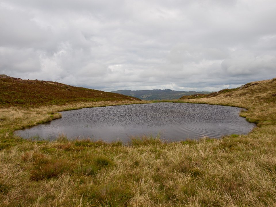
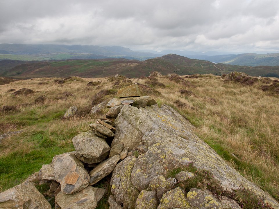
Woodland Fell Road – Blawith Knott (OF) – Angus Tarn – Tottlebank Height (OF) – Woodland Fell Road

Distance: 2 miles     Total Ascent: 156 metres     Time Taken: 1 hour 15 minutes     Start Time:14:25

Weather: Warm with the odd sunny spell. 20oC

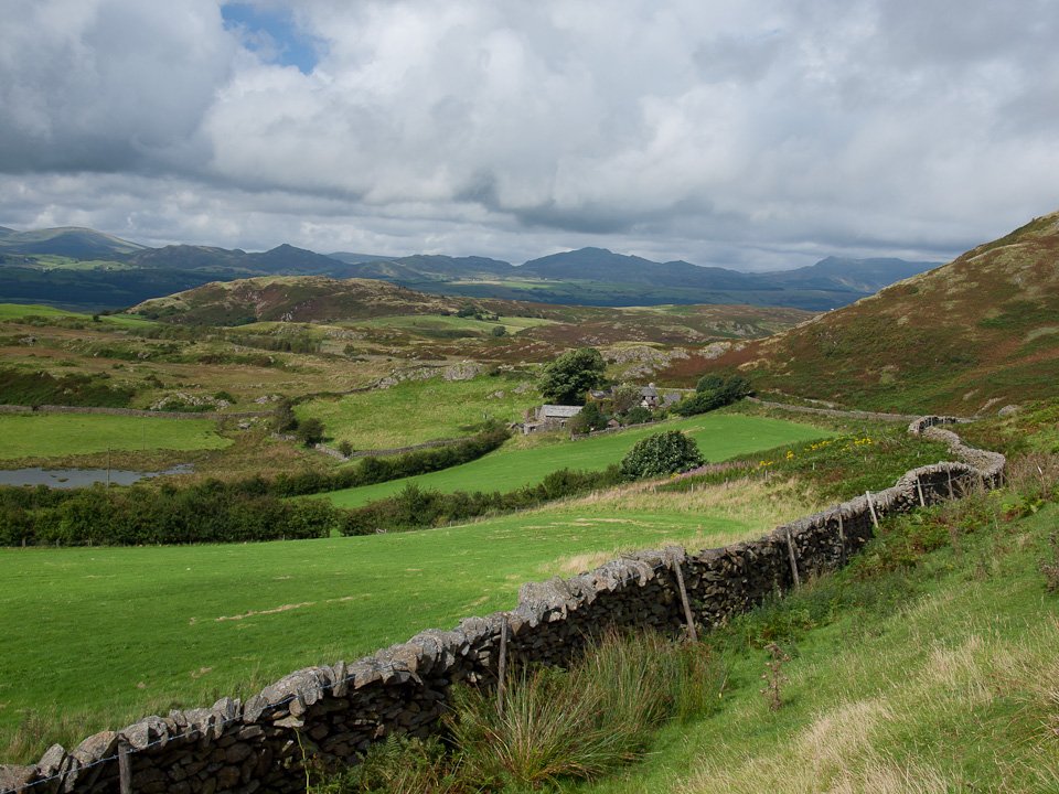
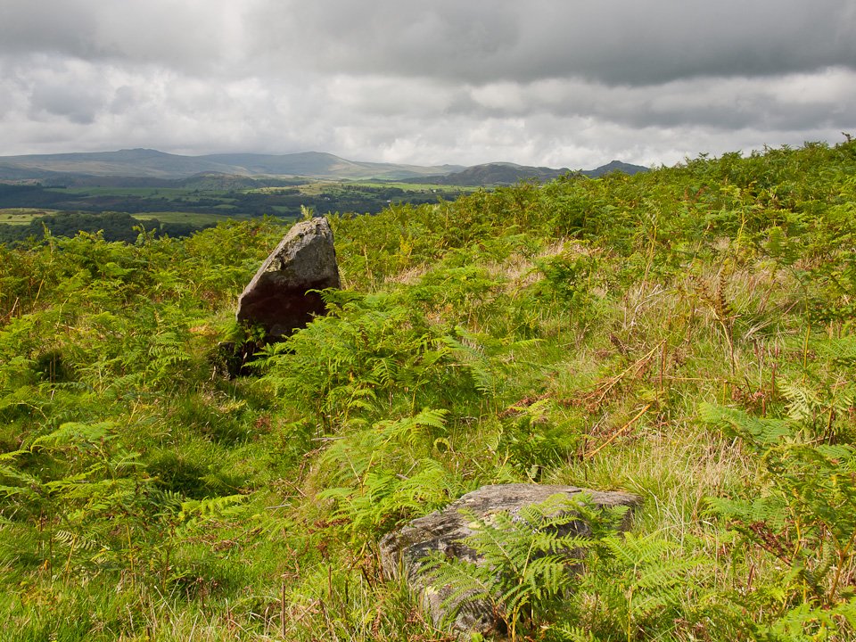
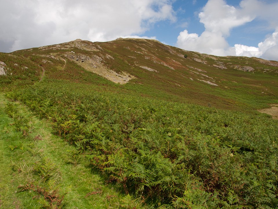
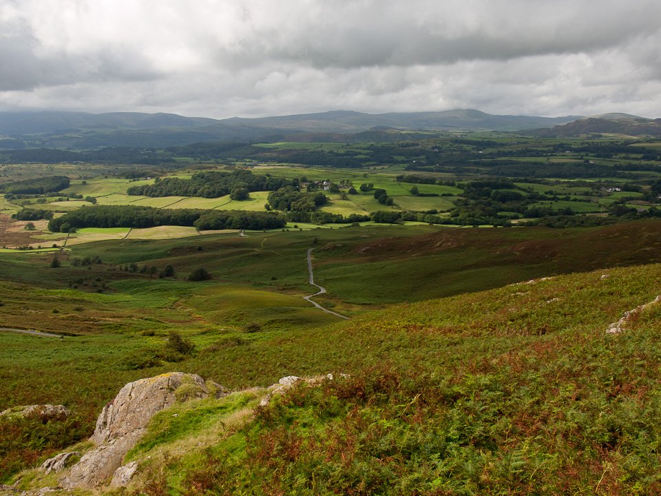
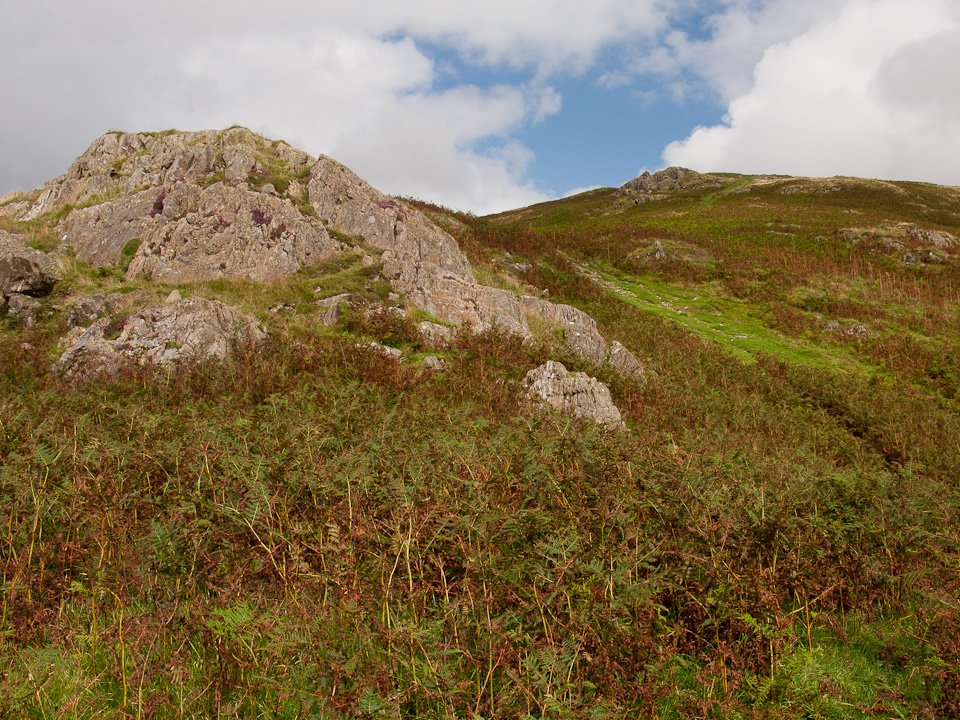
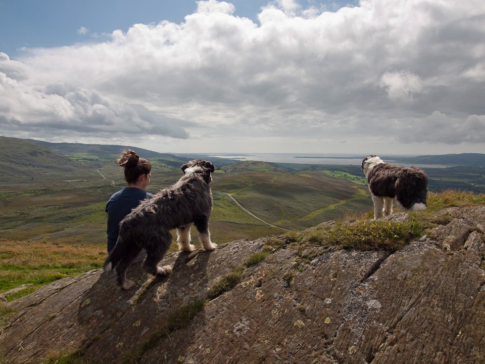
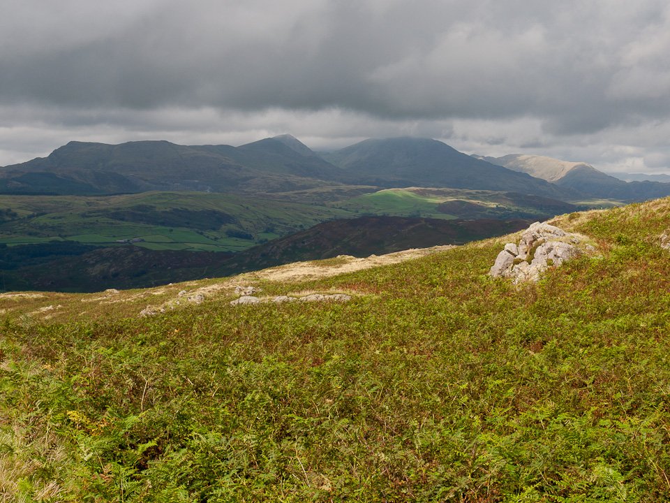
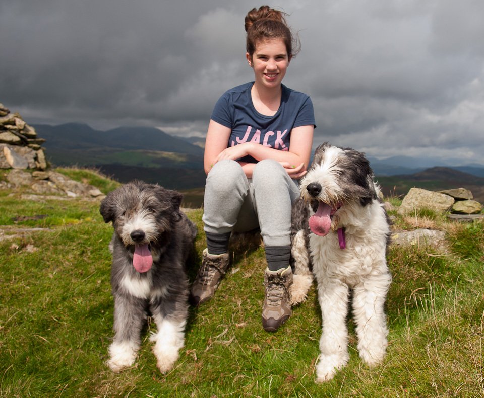
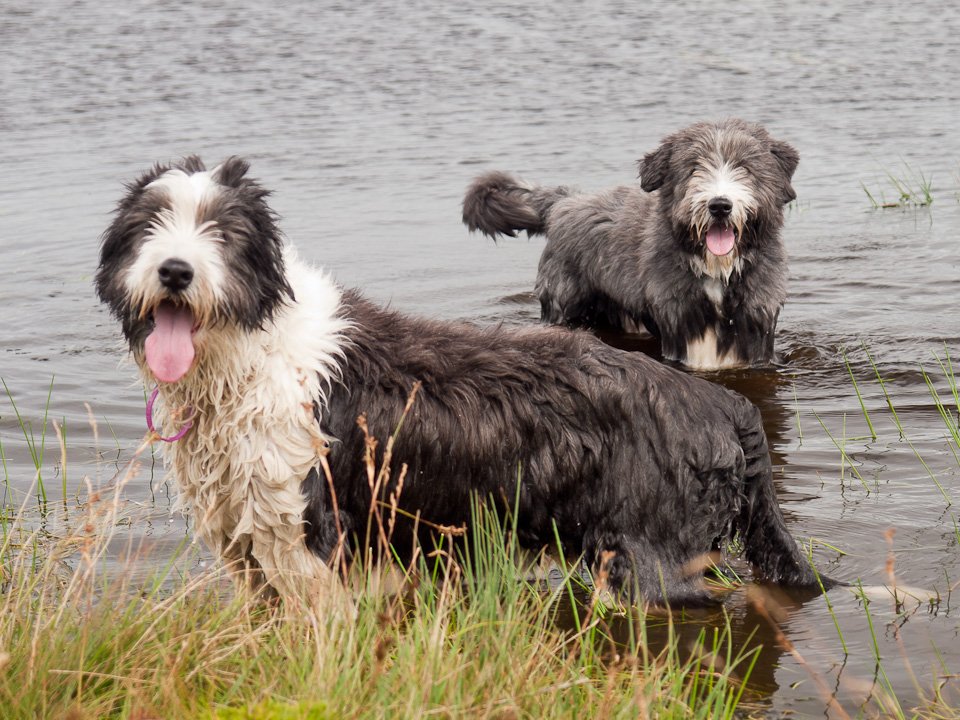
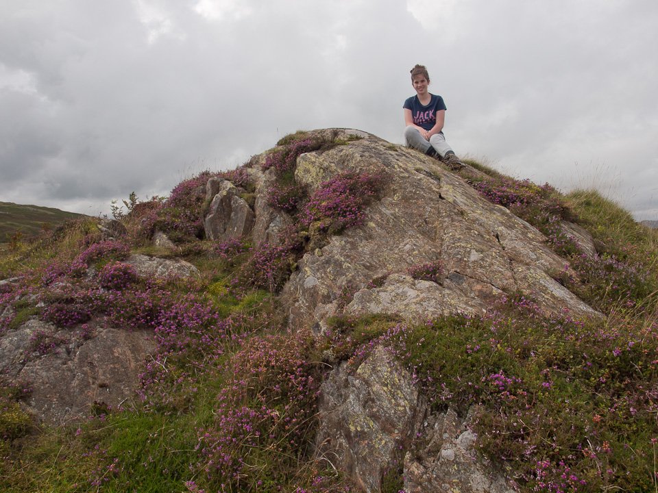
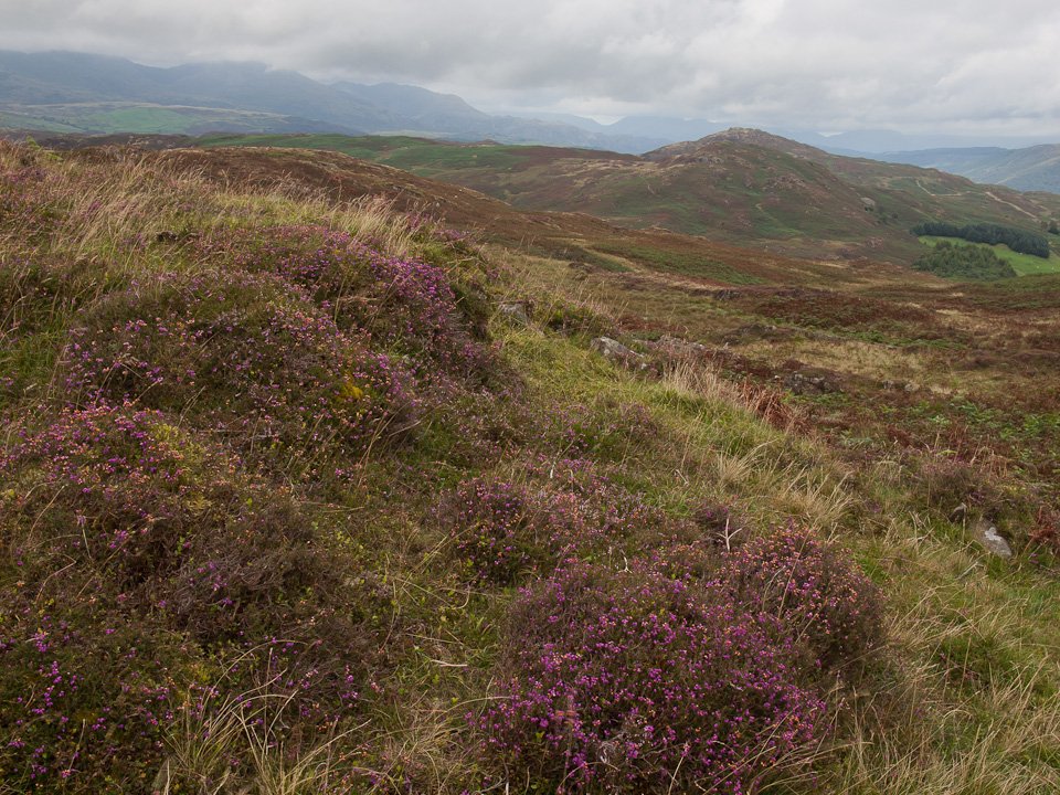
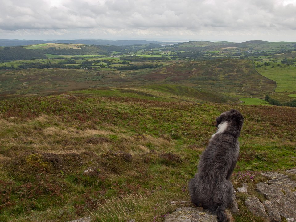
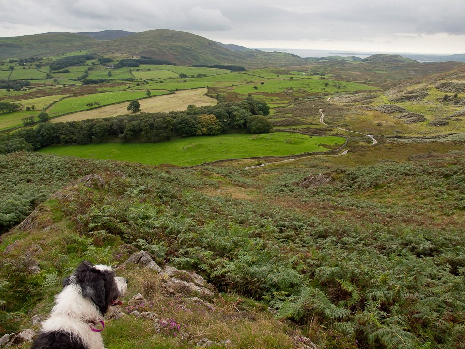
It was another warm and muggy morning and there was a bit of rain around but it eventually cleared and was quite sunny for a period. We took this opportunity to head for Blawith Knott but the sun didn’t last the distance with the cloud catching us in the end.

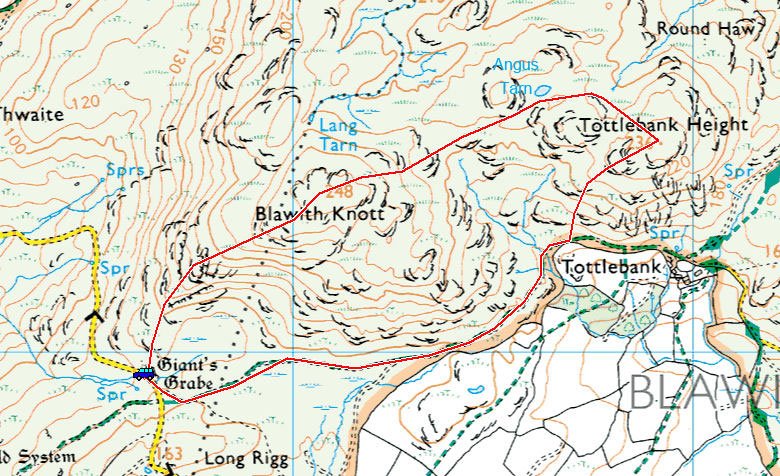
01 Blawith-Knott_map.jpg
P8204932.jpg
P8204933.jpg
P8204937.jpg
P8204938.jpg
P8204941.jpg
P8204949.jpg
P8204957.jpg
P8204961.jpg
P8204973.jpg
P8204977.jpg
P8204987.jpg
P8204994.jpg
P8204997.jpg
P8205005.jpg
P8205008.jpg
P8205013.jpg
P8205014.jpg

Share this…


  • Facebook


  • Twitter


  • Messenger


  • Whatsapp


  • Email

Previous walk Next walk

Walking Diary

  • The Mosedale Horseshoe 01/03/2022
  • Caw 18/01/2022
  • Coniston sunset 17/01/2022
  • Blencathra 15/01/2022
  • Scafell Pike 14/01/2022

Social

  • Facebook
  • Twitter

Information

  • Striding Edge
  • T&C’s
  • Privacy
  • Links