Start Point: Browfoot Lane, Kentmere (NY 448 004) – Not recommended!
Browfoot Lane – Capple Howe – Sour Howes – Sallows – Kentmere Park – Browfoot Lane
Distance: 12 km
Total Ascent: 331 metres
Time Taken: 3 hours
Start Time: 09:40
Weather: Ever improving. 7ºC
Finlay’s Wainwright count: 14/214 (2 new this walk)

Route Map as an indication of the route taken. A better starting point to tackle these fells from Kentmere side would have been Kentmere or perhaps High Borrans.
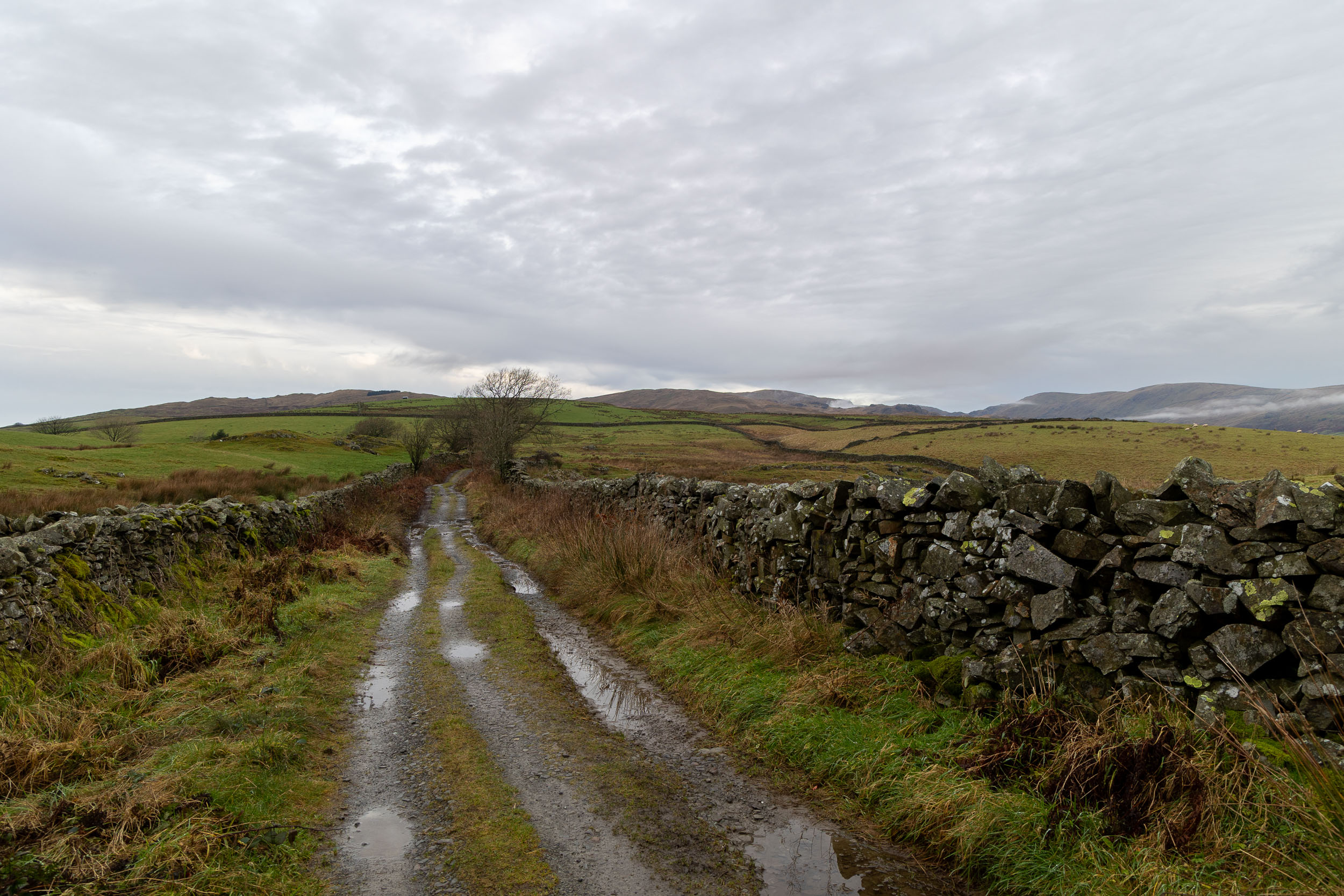
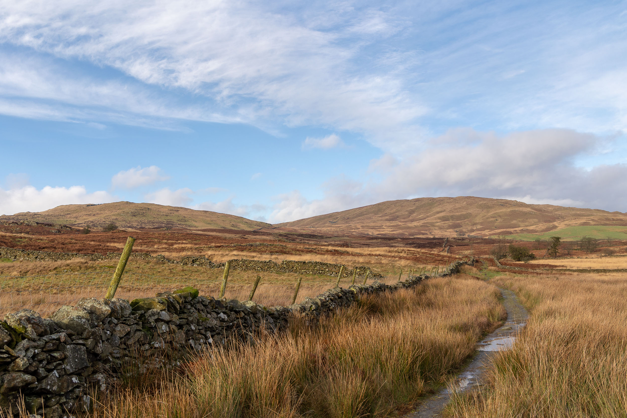
Setting off along the (very) wet bridleway towards Sour Howes. I parked at the top of Browfoot Lane which is certainly not to be recommended. The lane was covered with quite large potholes and at the top of it, where the road meets the bridleway, there was barely room to park a single car.

This was quite a big day in Finlay’s fell walking career – after doing a lot of recall training it was time to give him a chance off lead and this seemed like the perfect opportunity to do it. The bridleway was walled for long sections with numerous gates so there was no chance of him running off too far! As it happened he was fine and came back every time so the off lead training was extended to the open countryside – he did very well!
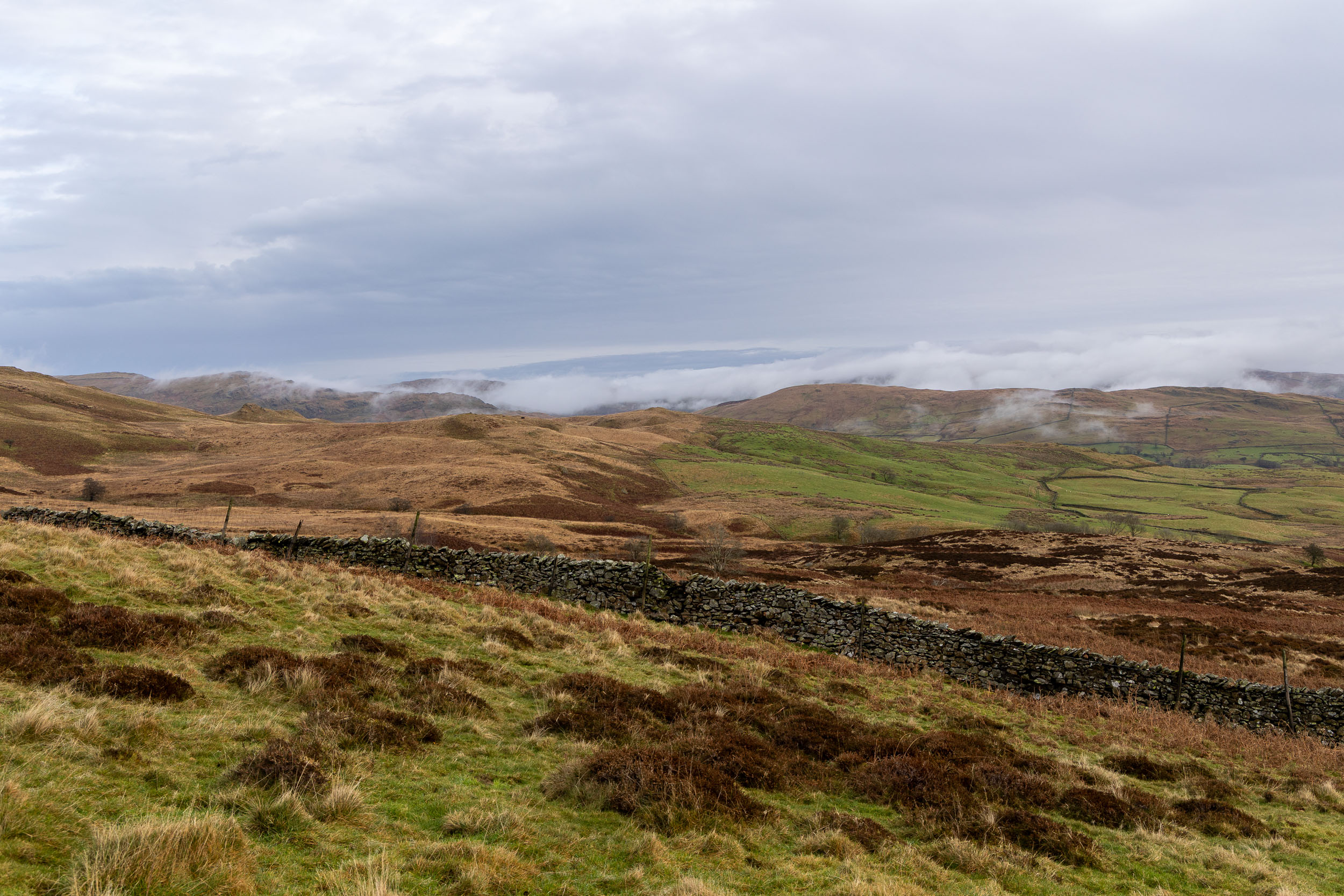
There was plenty of low cloud hugging the fell tops, especialy to the east of Kentmere.

Well that was a boggy old trudge but I guess there has ben plenty of rain lately. I ended up going too far and crossing Park Beck before climbing through a gate, which was a mistake as there was no way on to the open fellside that I could see (although I did end up coming from Sallows that way later on) so I retraced my steps and climbed to the right of the wall to the south of the beck. This is looking to Morecambe Bay from one of the Grouse butts on the steep climb.
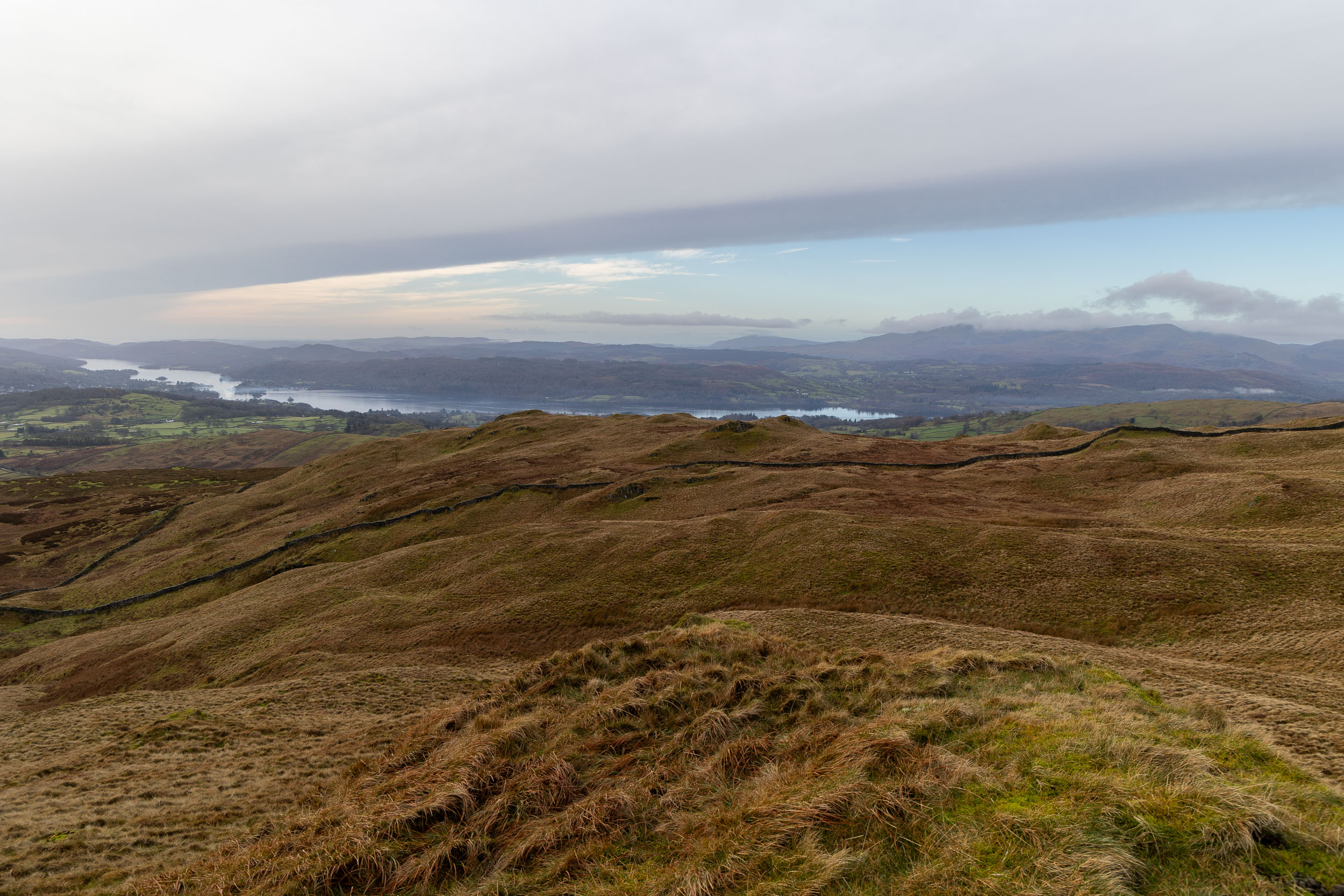
A fantastic view of Windermere opened up as we climbed, this is taken from the top of Capple Howe.

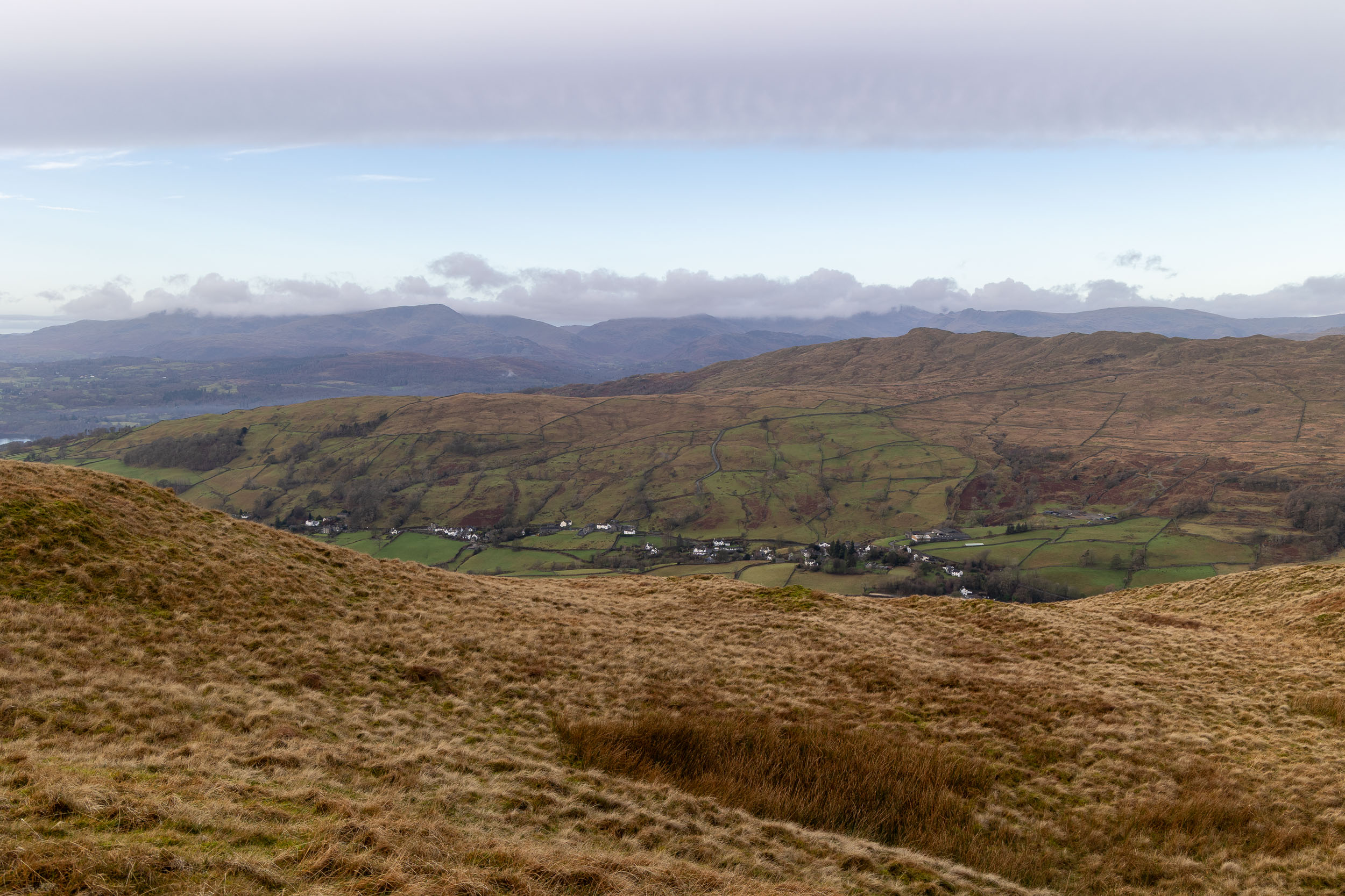
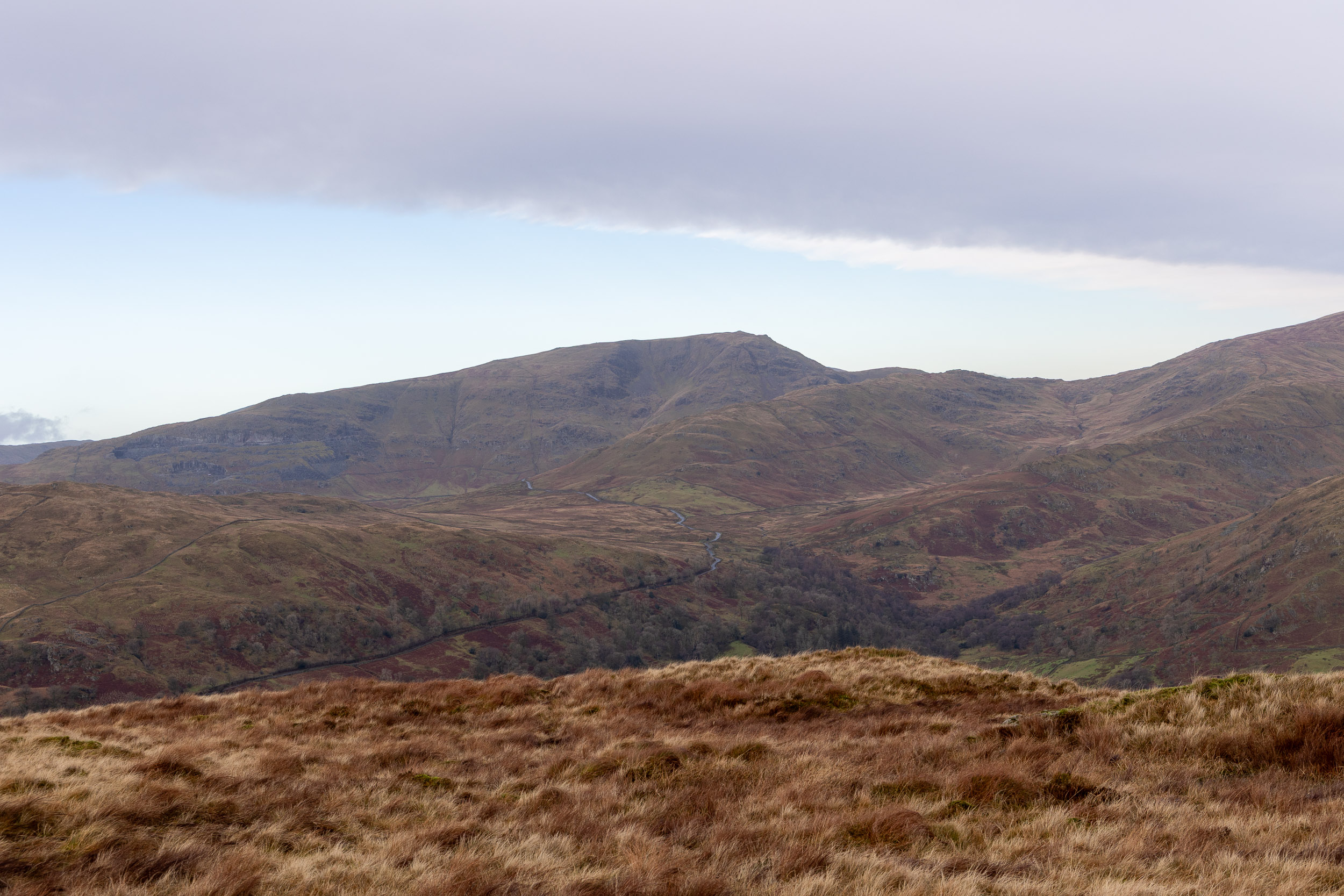
It is a short walk to Sour Howes from Capple Howe and the view to Threshthwaite Mouth and the head of Troutbeck are tremendous. Wainwright #13 for Finlay!

Sour Howes.
Troutbeck from Sour Howes.

Heading for Sallows, another squelchy affair.
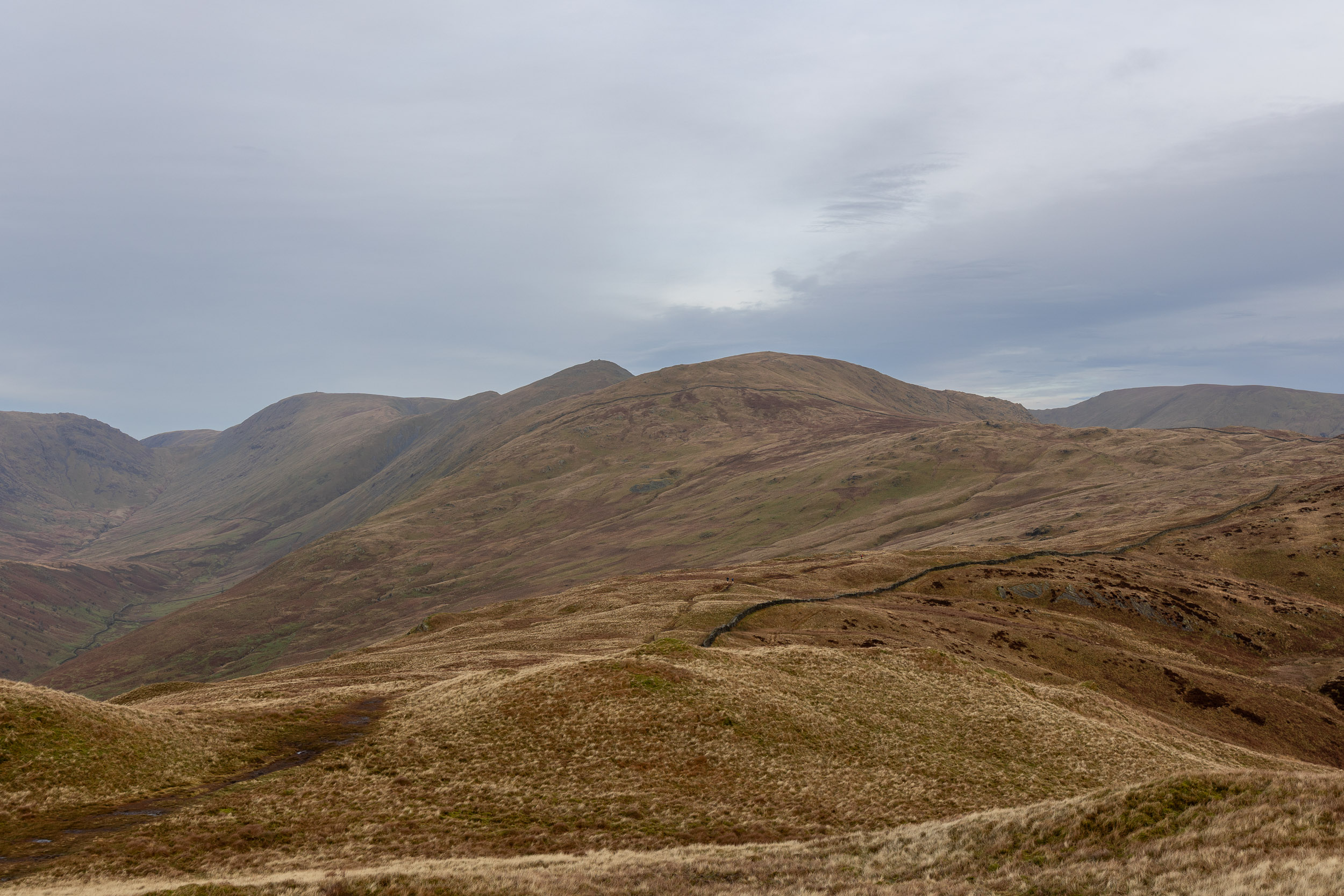
A fine view along some of the Far Eastern fells – Yoke, Ill Bell, Froswick, Thornthwaite Crag.
Red Screes and the Kirskstone Pass road in view.
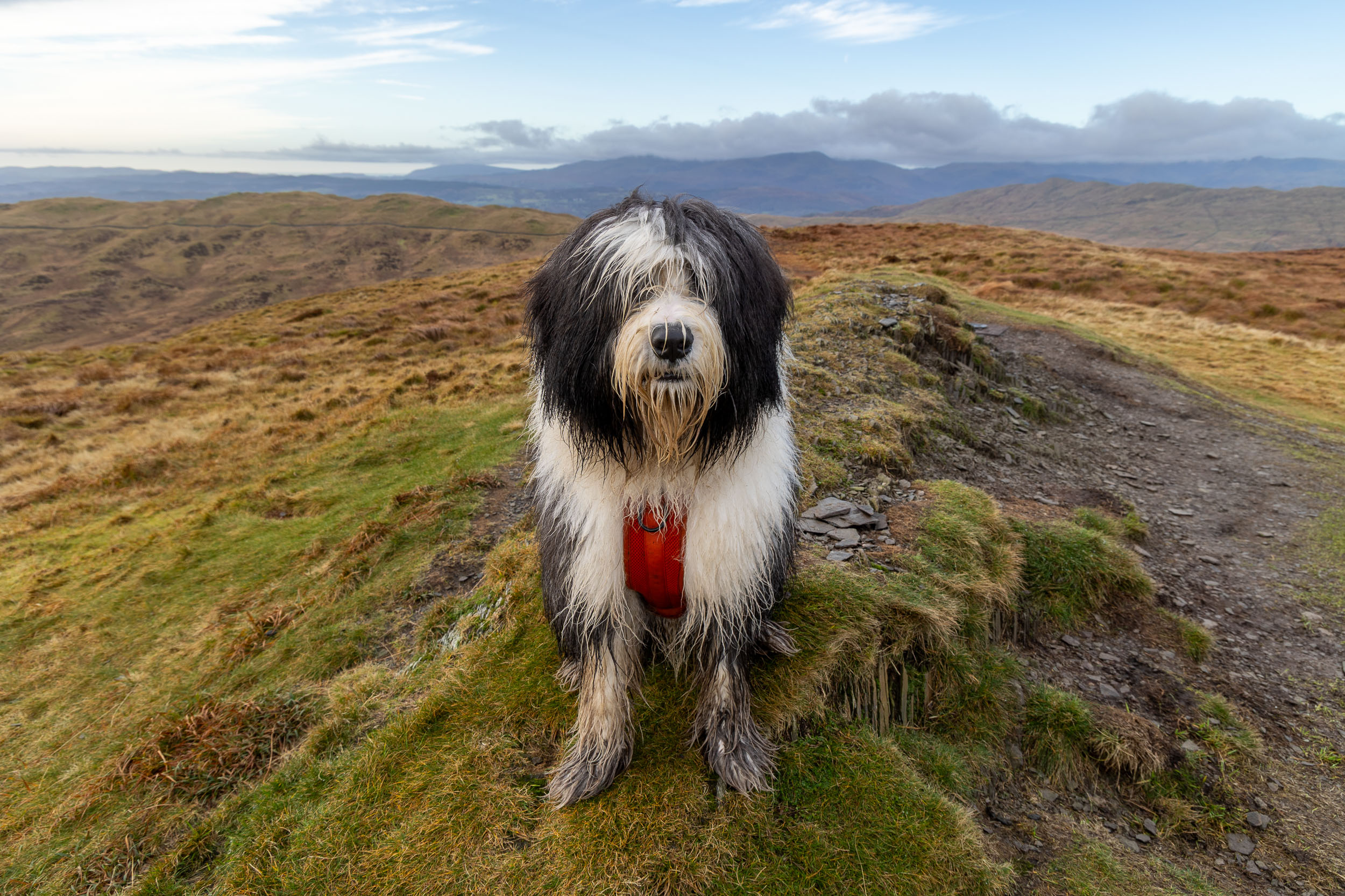
Finlay on the summit mound of Sallows, #14/214.
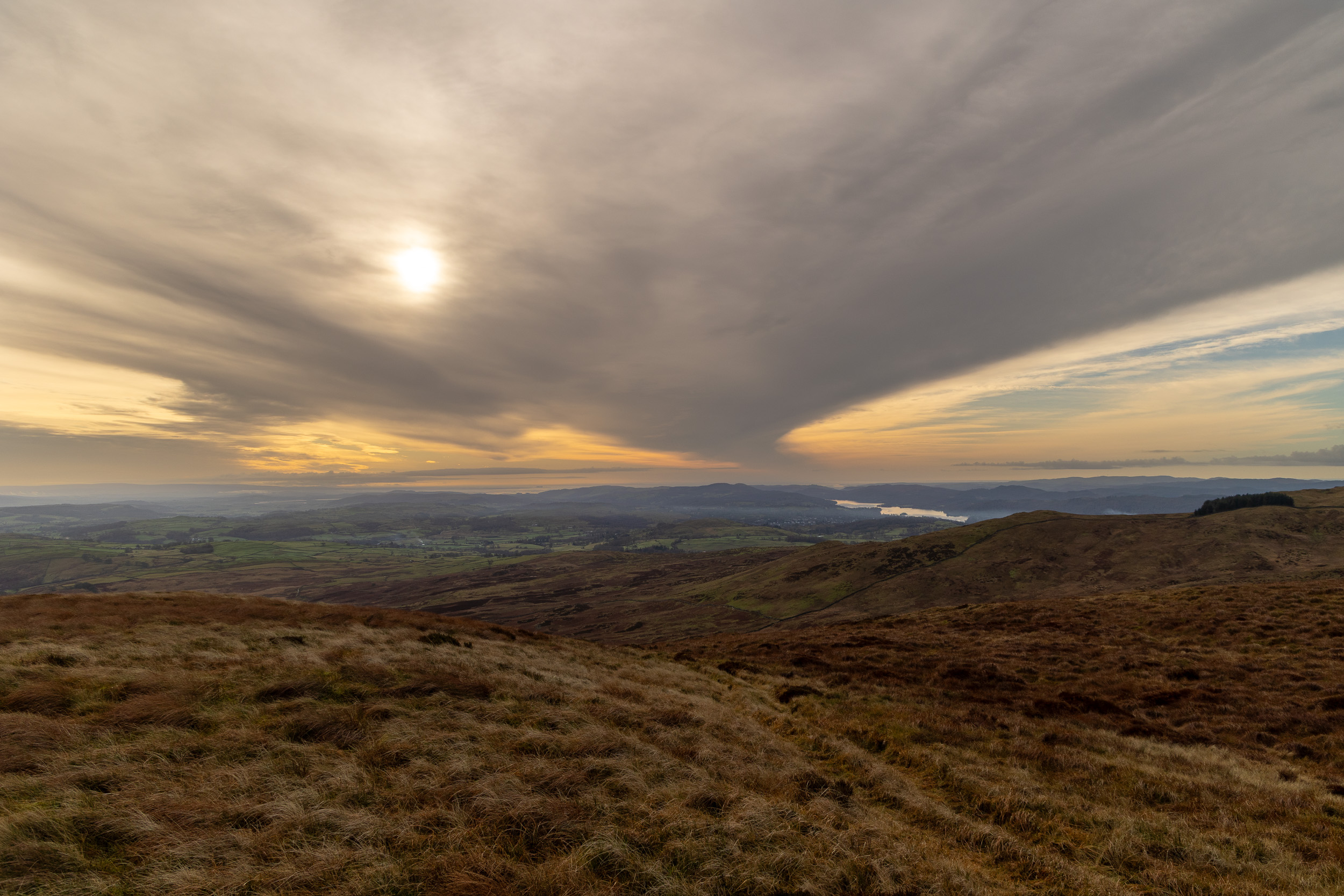
There was a lovely, dramatic winter sky looking southwards.

Looking down on Kentmere from the descent from Sallows. On the face of it this should have been a straightforward descent, however someone had placed a herd of cows in the way of us and the path below so special avoidance techniques were required to circumnavigate them!
We successfully negotiated a way down and the skies were ever clearing with even a bit of sunshine now. We walked this path in both directions – Sour Howes is on the left and Sallows on the right.
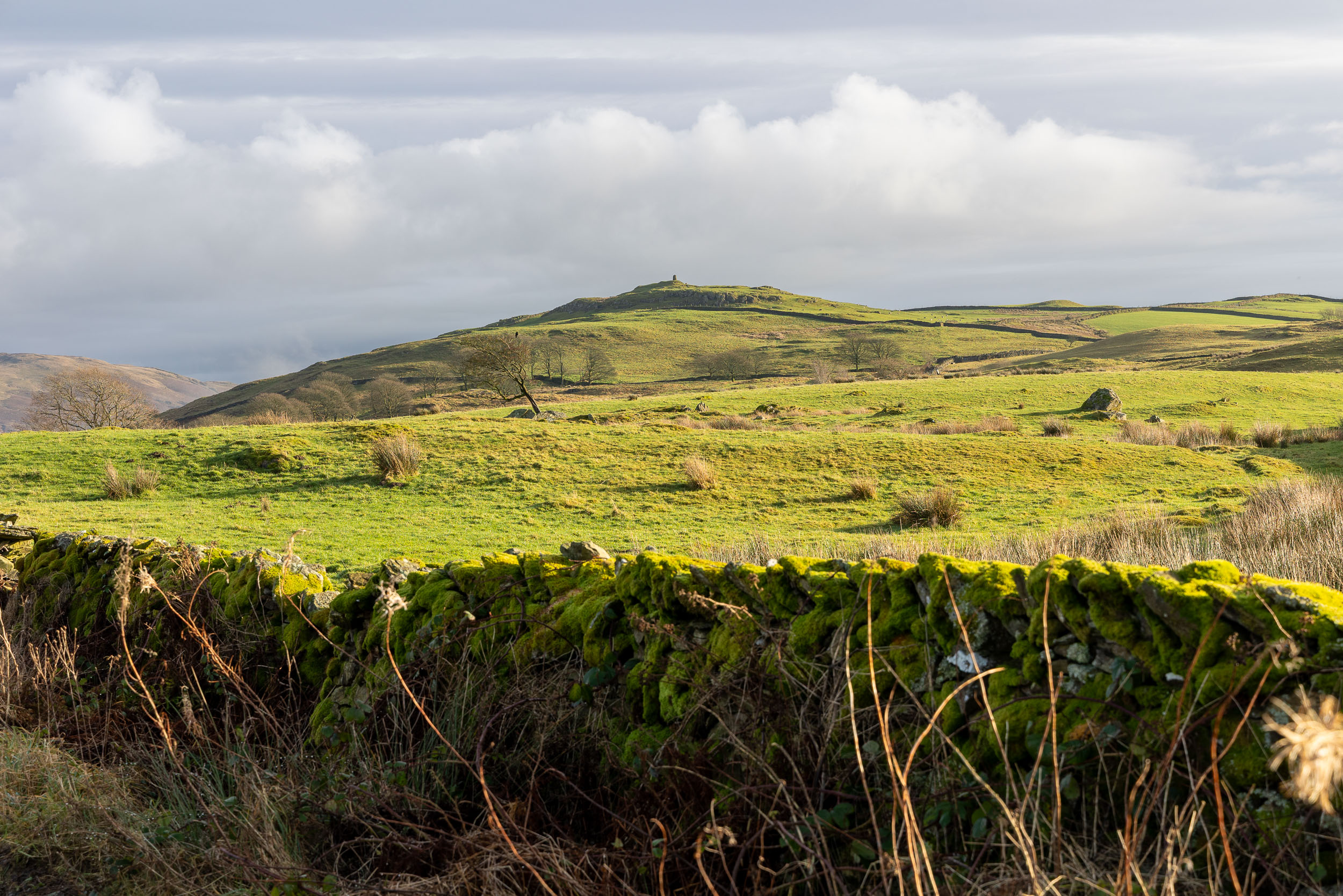
Williamson’s Monument on Hugill Fell.

Almost back at the car and it was the best part of the day now looking across to Green quarter.
Leave a Reply