
Start Point: Woodland Fell road (SD 256 879)
Woodland Fell road – Blawith Knott – Angus Tarn – Tottlebank Height – Woodland Fell road
| Distance: | 3.4 km |
| Total Ascent: | 114 m |
| Time Taken: | 1 hours 15 minutes |
| Start Time: | 09:50 |
| Weather: | Sunny. 17ºC |
| Finlay’s Wainwright Count: | 49/214 (0 new this walk) |
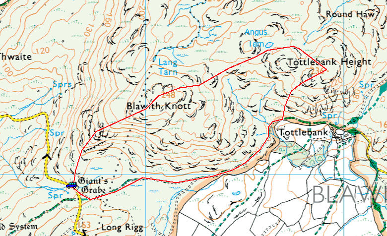
What a gorgeous morning again, lovely to see the sunshine again and get some warmth on our backs. We have done this walk many times before and the views are, as ever, are just beautiful. Finlay had a first time visit to (dry) Angus Tarn and also a bit more sheep training, he is doing brilliantly now and barely bothers looking at sheep when we are walking. The whole walk today was off lead (whilst watching very carefully of course!).
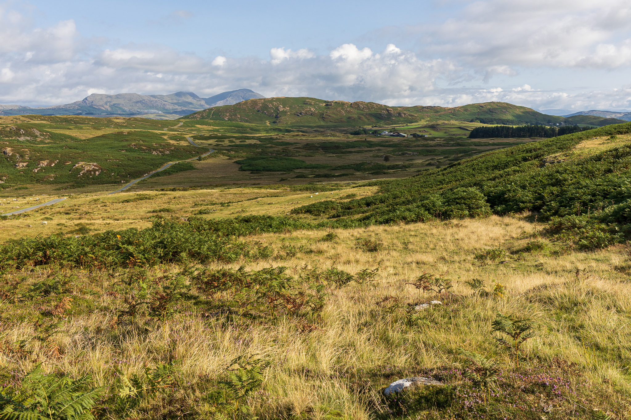
Looking across to Blawith Knott and Tottlebank Height (the darker green fells across the low ground) with the Coniston fells beyond. 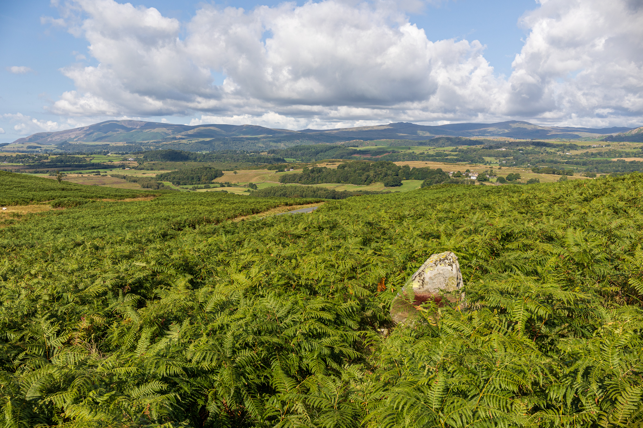
At the start of the climb to Blawith Knott is Giant’s Grave which is a ring cairn (currently overgrown with bracken) with the main stone visible, here looking towards Black Combe. 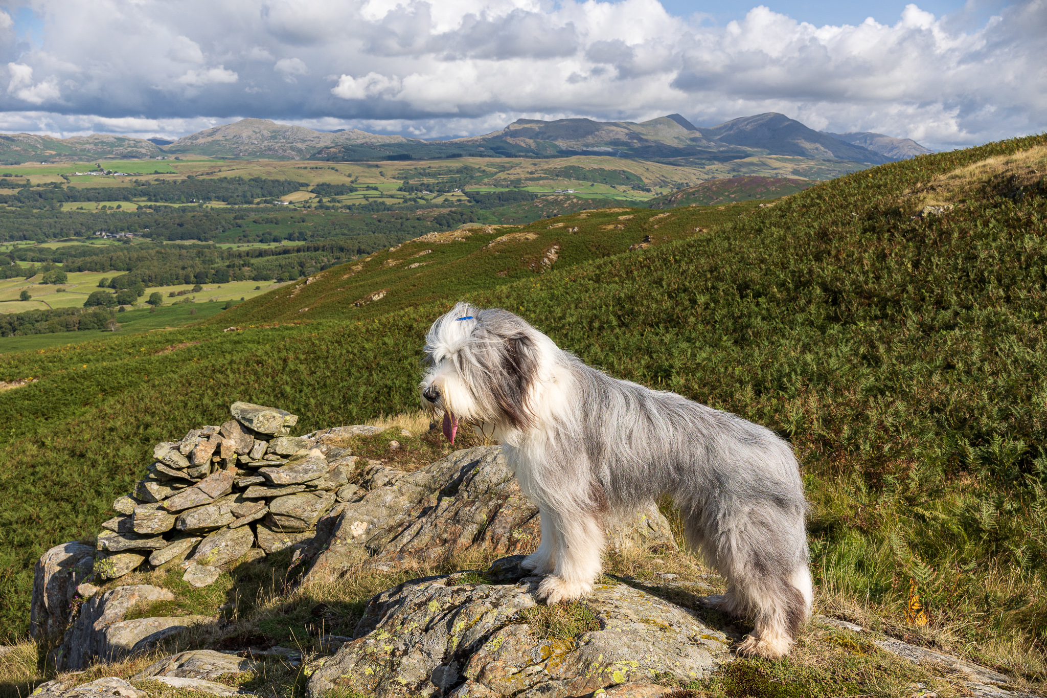
The new King of the Fells? Finlay at the first cairn on the climb to Blawith Knott. 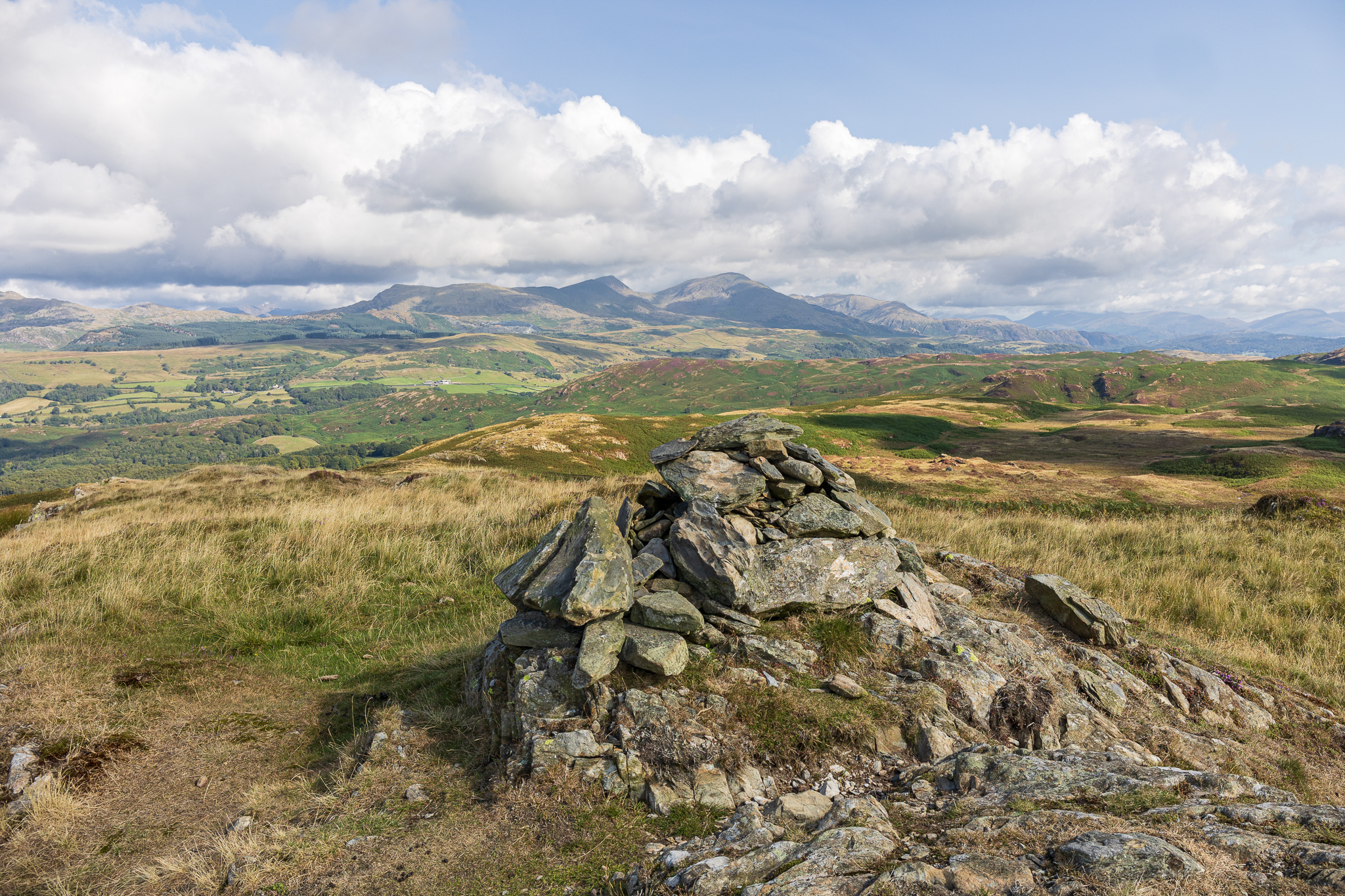
Blawith Knott and the Coniston fells. 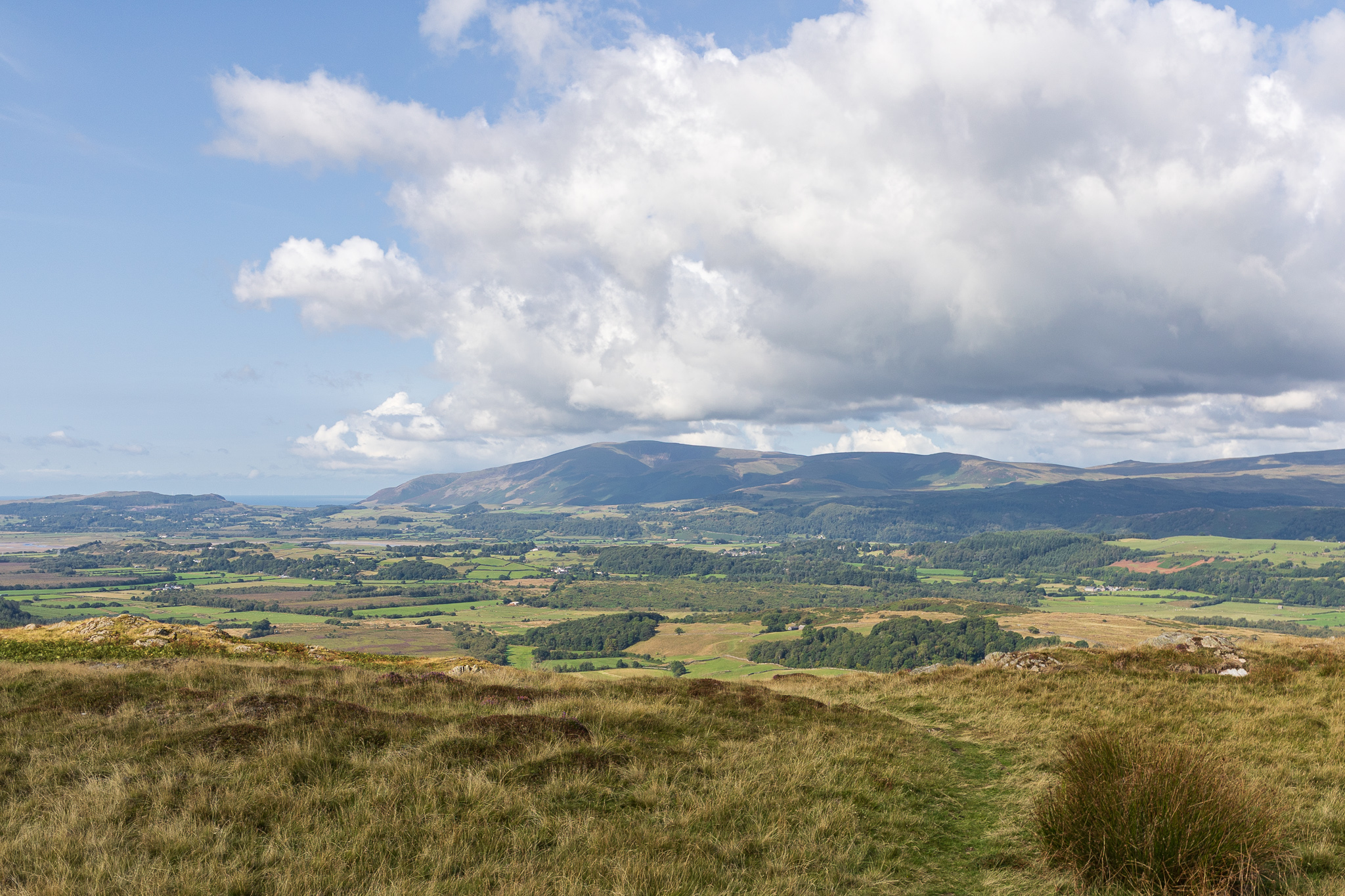
Black Combe from the top of Blawith Knott. 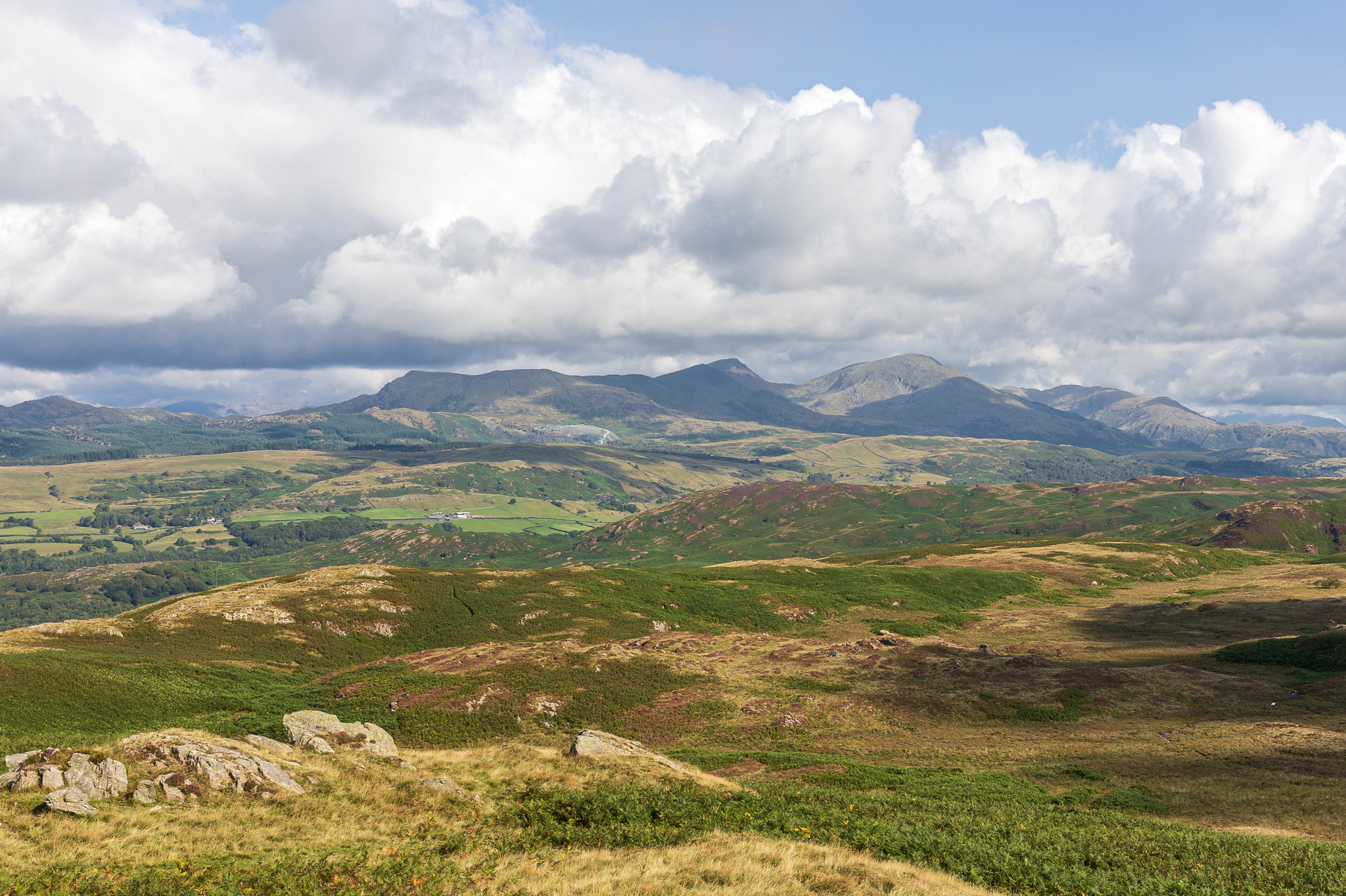
Close up on the familiar profile of the Coniston fells. 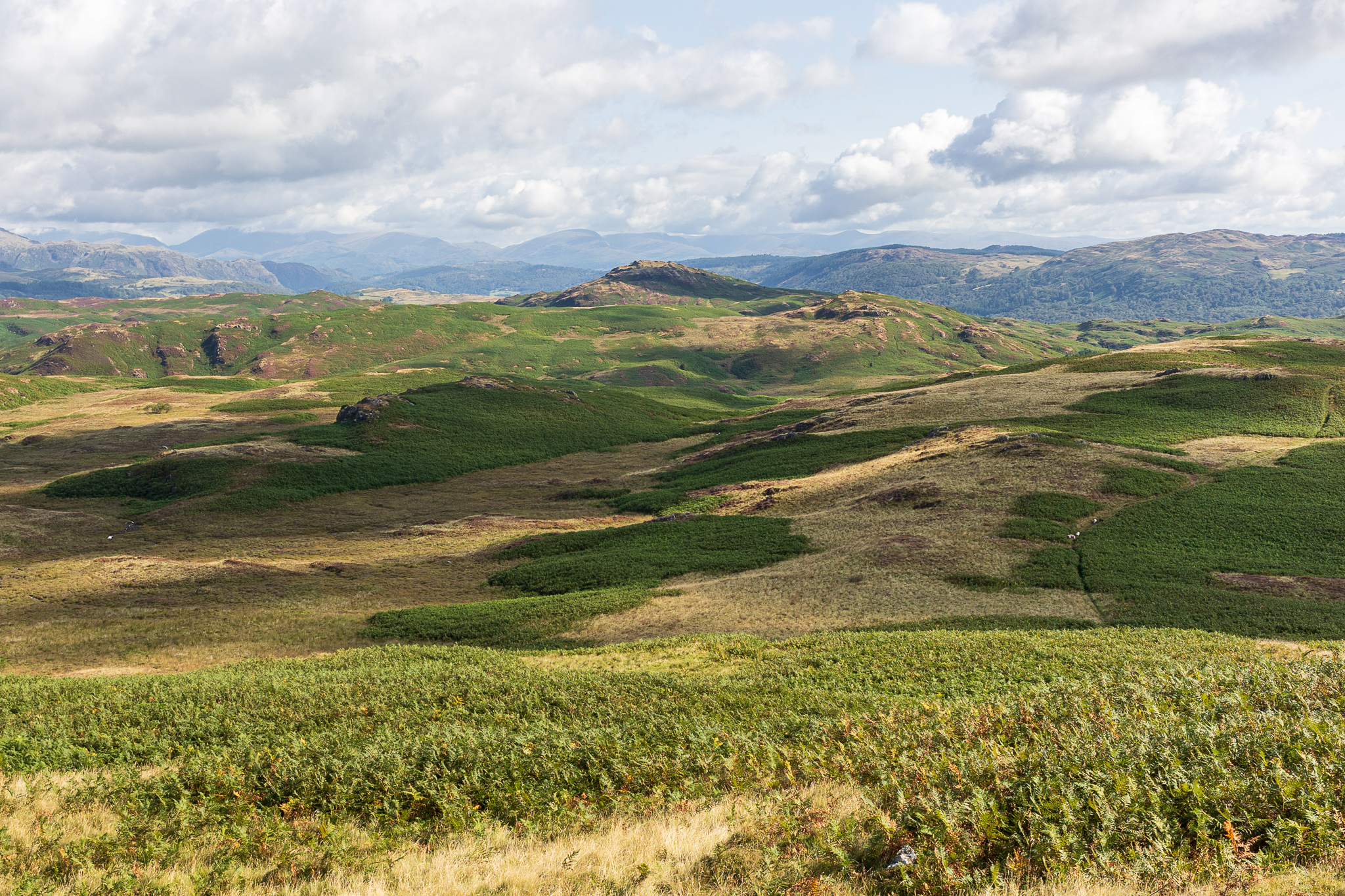
Beacon Fell and Wool Knott. 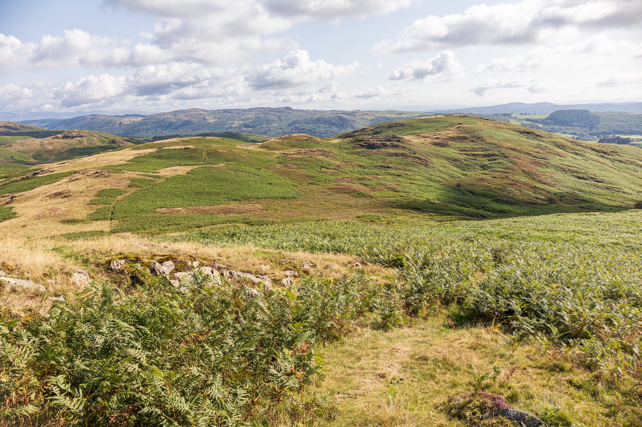
The way ahead – the path descend down to the left before passing Angus Tarn and then to Tottlebank Height. It looks further than it feels from here! 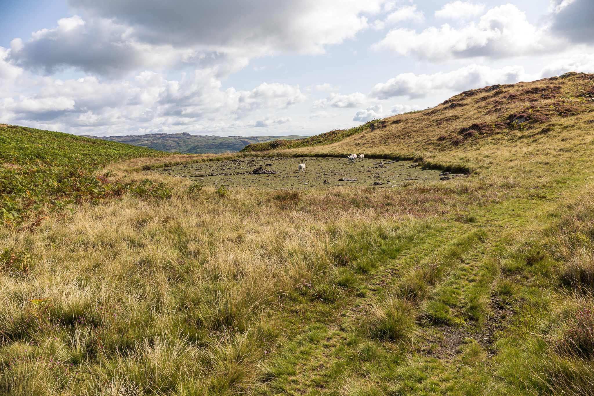
Angus Tarn (our families name for this un-named tarn as it reminds us of our OG Beardie, Angus). No water in it today but plenty of sheep! 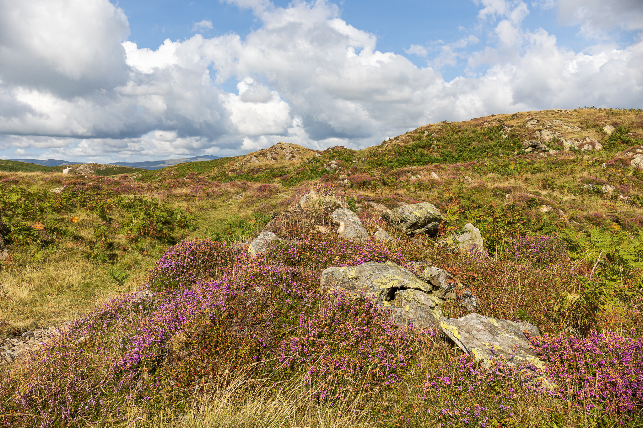
The fells were once again lit up by beautiful Ling today. 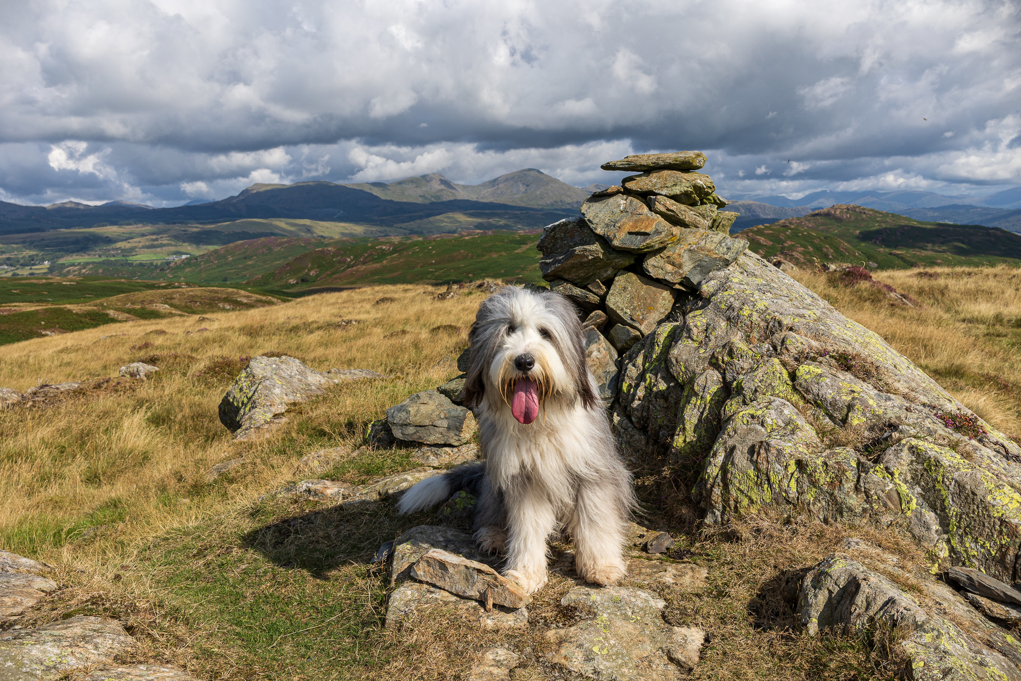
Finlay poses on Tottlebank Height. 
The Coniston fells from Tottlebank Height with a glimpse of Coniston Water centre right. 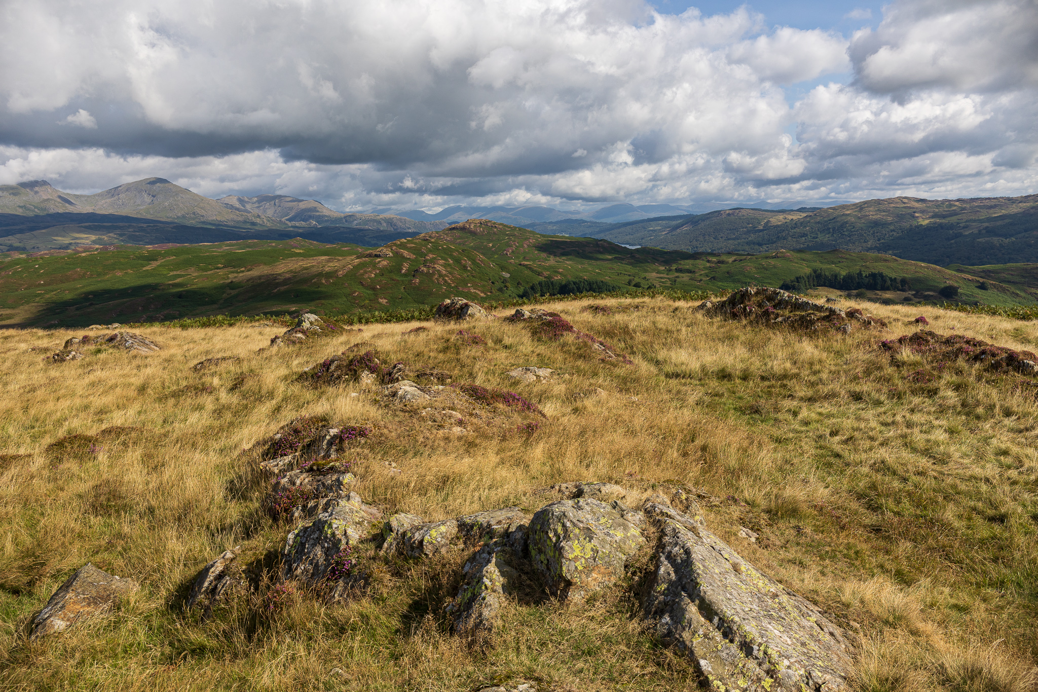
The view into the heart of the Lakes from beyond the cairn. 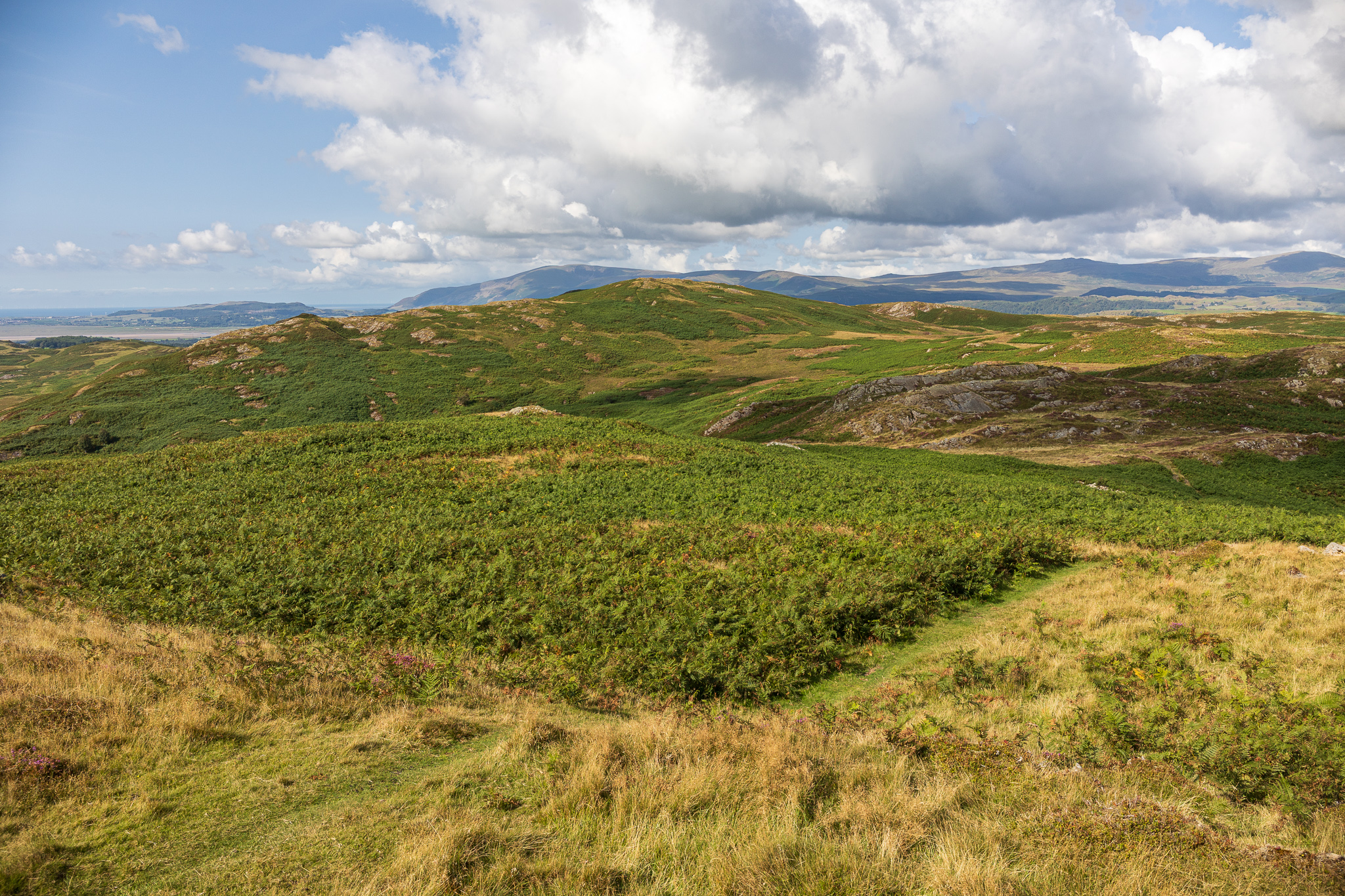
Looking back to Blawith Knott. 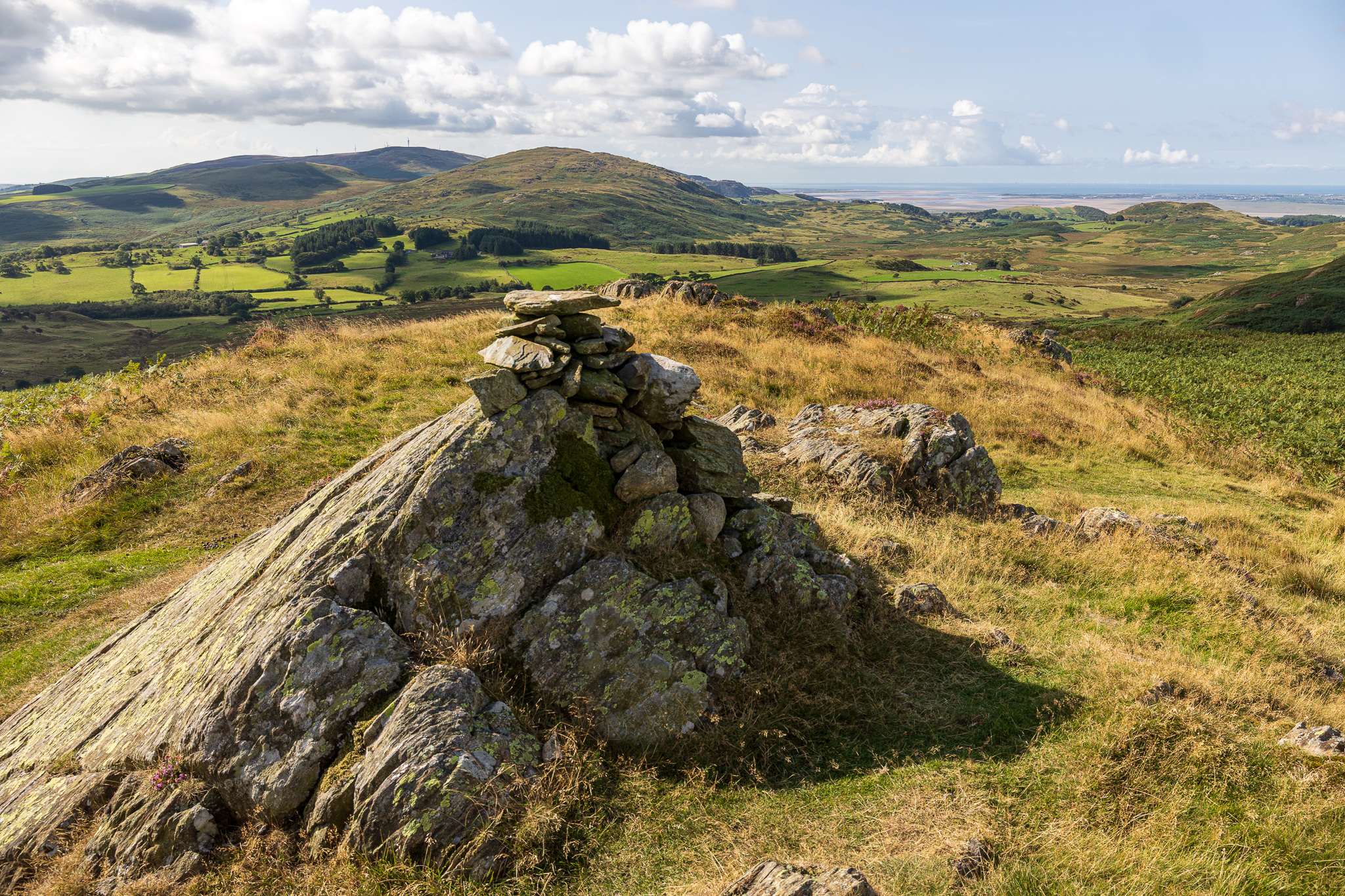
Kirkby Moor, Burney and the Duddon Estuary.
It’s a while since I been on those fells, Sean. In fact the last time I was near would be June 2018 as I passed them by on Day 1 of my Cumbria Way expedition. Tempus Fugit, as they say. 🙂
Always lovely up there Rod and well worth a visit. Easy enough for me as they are close by and make for a good dog walk and head clearing space. Fabulous views of the higher fells too which is always a bonus. Sean
After a disastrous outing, from Brown Howe Quarry to link Beacon Fell, Wool Knot and Yew Bank fighting bracken and bogs I am opting to follow your route to Blawith Knott and Tottlebank, I hope it is much easier. Hope you and your family are keeping well.
Hi Clive, sounds like you had an adventure there! It is a pleasant stroll following this route and yes, much easier – only known by Furness Folk according to the AW Outlying fells book so I can include you in that (honary these days 🙂 ). All good here, hope you and yours are too. Thanks, Sean