Striding Edge

A photo diary of Lake District fell walks

  • Walks
  • Fells
    • Wainwrights
      • Eastern Fells
      • Far Eastern Fells
      • Central Fells
      • Southern Fells
      • Northern Fells
      • North Western Fells
      • Western Fells
      • Outlying Fells
    • Birketts
  • Dogs
  • Love The Lakes
  • Contact

Reston Scar

Walked on 26/04/2009

Start point: Staveley (SD 469 985)

Reston Scar (OF) from Staveley

Distance: 1.6 miles     Total Ascent: 150 metres     Time Taken: 1 hour

Weather: Warm with sunny spells. 15°C.

Today we had a short walk from Staveley up to Reston Scar, the one that is clearly visible from the main road heading towards Windermere. It was really quite pleasant when the sun was shining and the views were fairly extensive.

 

Reston Scar

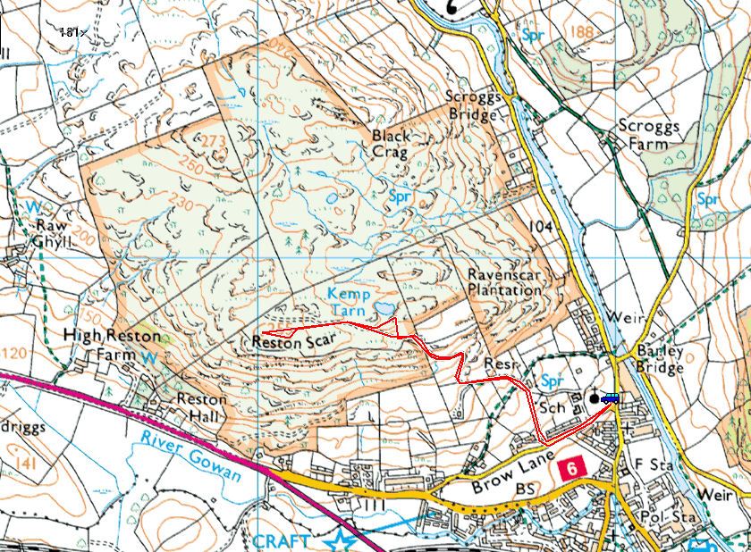
Reston Scar route map.

26.04.09-003

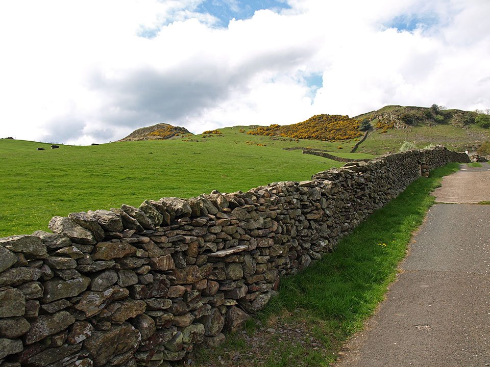
Climbing the path from Brow Lane to Reston Scar.

26.04.09-009

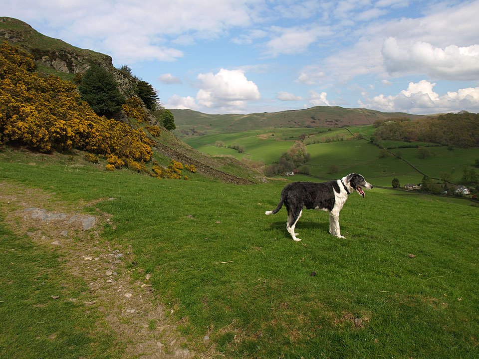
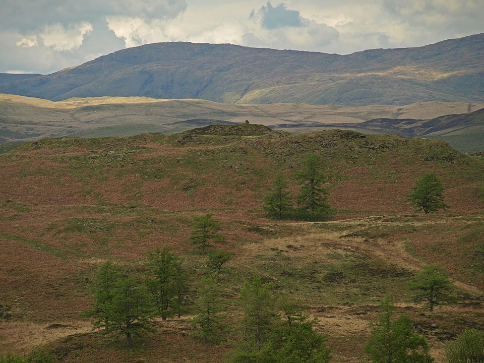
Casper and Brunt Knott.

26.04.09-010

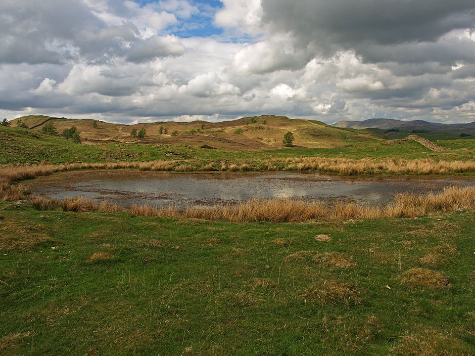
Kemp Tarn, a tarn that made Casper dirtier rather than cleaner when he had a dip.

26.04.09-017

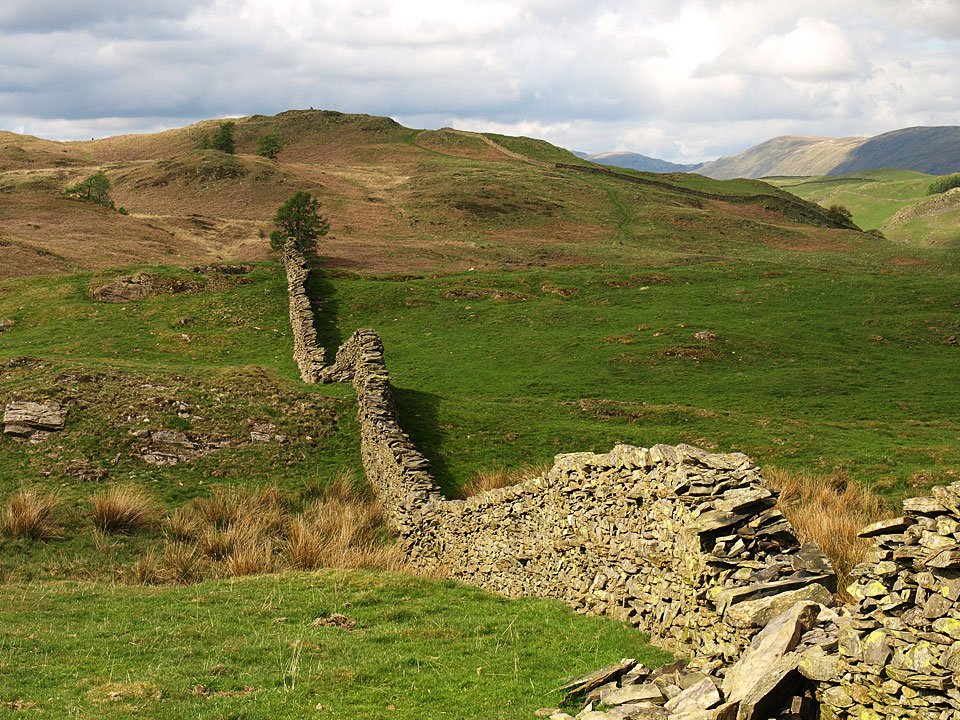
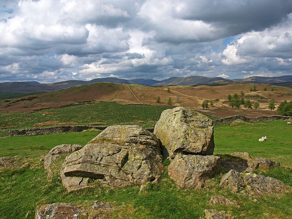
Looking along the wall to Hugill Fell.

26.04.09-030

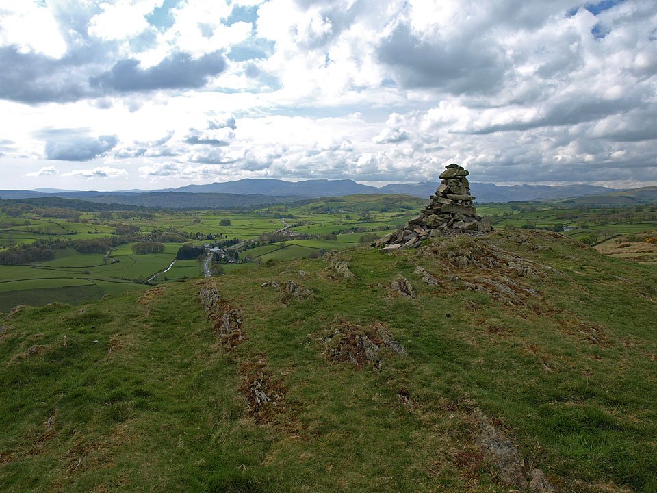
The silhouette of the Coniston fells from the top of Reston Scar.

26.04.09-037

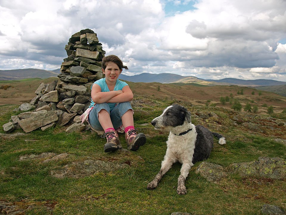
Connie and Casper at the top. It was warm until we reached the top where we managed to find the breeze.

26.04.09-040

Kentmere Pike beyond Hugill Fell summit.

26.04.09-046

Kentmere from Reston Scar.

26.04.09-058

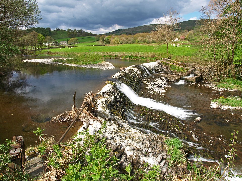
Back at Barley Bridge in Staveley and a chance for Casper to clean up.

Share this…


  • Facebook


  • Twitter


  • Messenger


  • Whatsapp


  • Email

Previous walk Next walk

Walking Diary

  • The Mosedale Horseshoe 01/03/2022
  • Caw 18/01/2022
  • Coniston sunset 17/01/2022
  • Blencathra 15/01/2022
  • Scafell Pike 14/01/2022

Social

  • Facebook
  • Twitter

Information

  • Striding Edge
  • T&C’s
  • Privacy
  • Links