Striding Edge

A photo diary of Lake District fell walks

  • Walks
  • Fells
    • Wainwrights
      • Eastern Fells
      • Far Eastern Fells
      • Central Fells
      • Southern Fells
      • Northern Fells
      • North Western Fells
      • Western Fells
      • Outlying Fells
    • Birketts
  • Dogs
  • Love The Lakes
  • Contact

Greenup Horseshoe

Walked on 21/04/2008

Start point: Stonethwaite (NY 262 137)

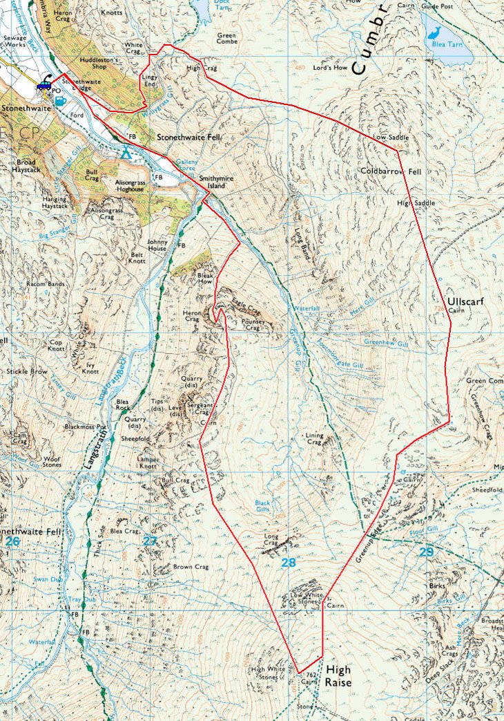
Stonethwaite – High Crag – Low Saddle of Coldbarrow Fell – High Saddle of Coldbarrow Fell – Ullscarf – Greenup Edge – Low White Stones –High Raise – Sergeant’s Crag – Eagle Crag – Stonethwaite

Distance: 8.3 miles     Total Ascent: 890 metres     Time Taken: 4 hours

Weather: Overcast. 12oC.

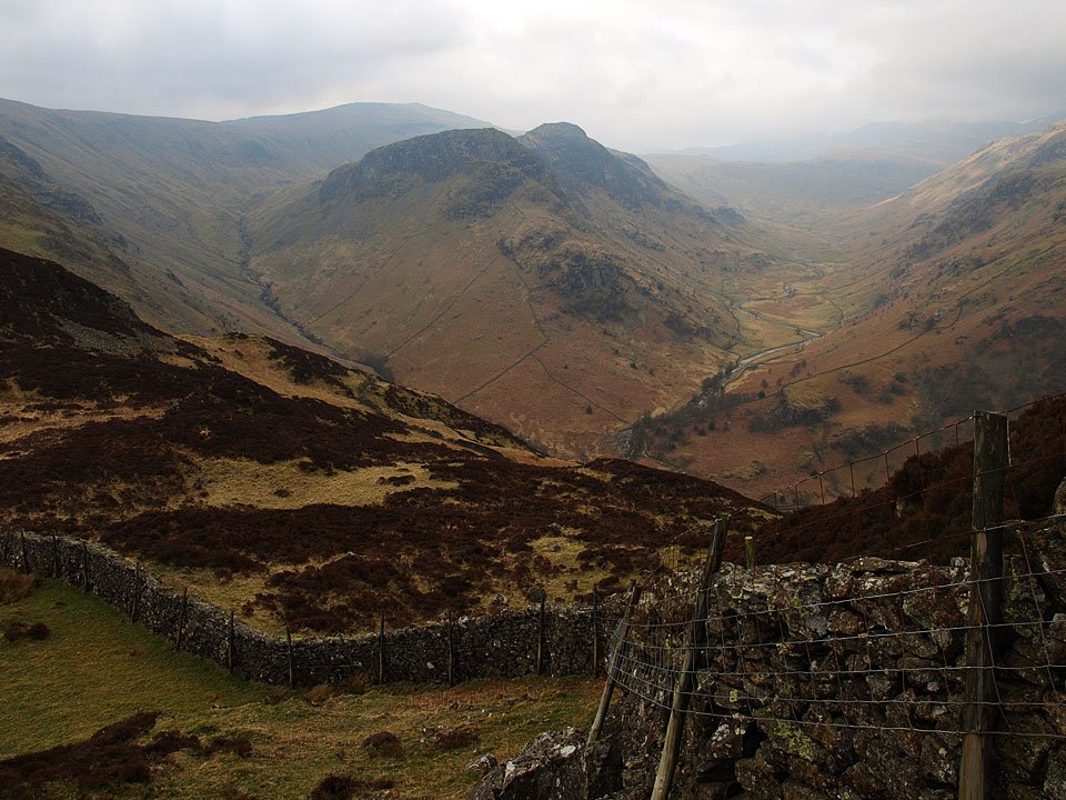
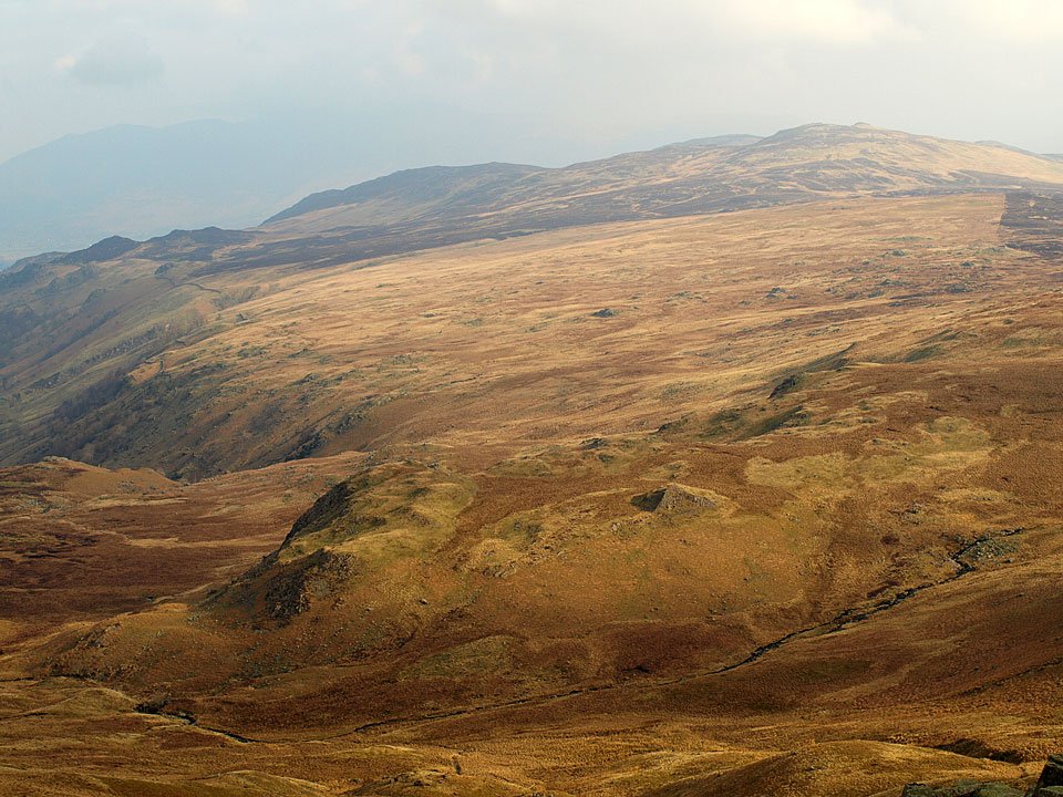
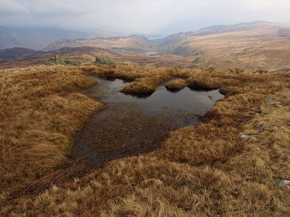
It was yet again hazy and rather grey this morning for a walk around the Greenup skyline yet there were still some great views from these central fells. The route up to Ullscarf can only be recommended for the increasingly improving view on the way up but not the terrain which is rough, pathless and boggy. The descent from Eagle Crag though was better than the climb up I found – it’s a steep one, that!
Greenup-Horseshoe.jpg

21.04.08-015.jpg

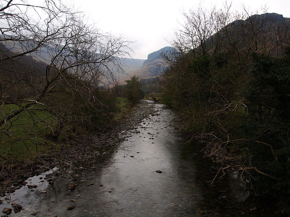
Eagle Crag from Stonethwaite Bridge.

21.04.08-024.jpg

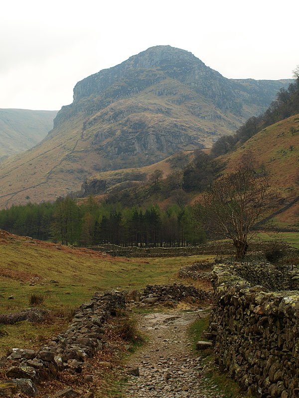
A hazy Eagle Crag from the path that is part of both the Cumbria Way and Coast to Coast routes.

21.04.08-026.jpg

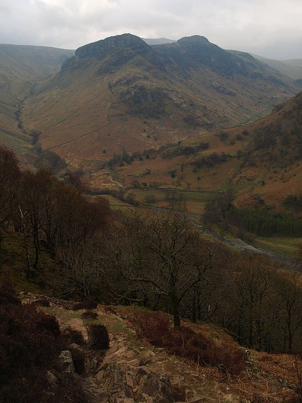
Eagle Crag and Sergeant's Crag after the steep climb through the woods.

21.04.08-032.jpg

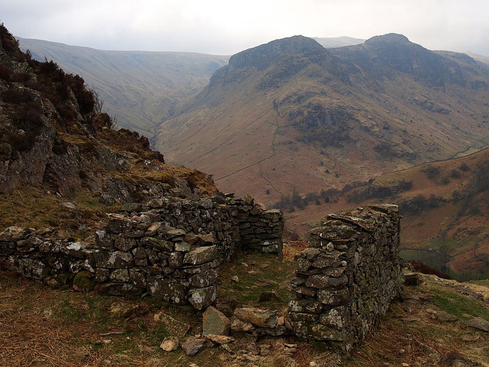
...and again from further up. I followed the skyline up to the left, which is Greenup Edge, to High Raise before descending Sergeant's Crag and Eagle Crag.

21.04.08-037.jpg

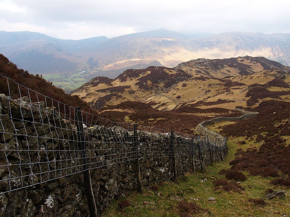
Climbing High Crag. Across the Borrowdale Valley are Dale Head and High Spy.

21.04.08-039.jpg

High Raise beyond Eagle Crag, Greenup to the left, Langstrath to the right.

21.04.08-044.jpg

A bit of sunshine on High Tove and High Seat.

21.04.08-049.jpg

Climbing Coldbarrow Fell with a view of Watendlath Tarn and Derwent Water.

21.04.08-052.jpg

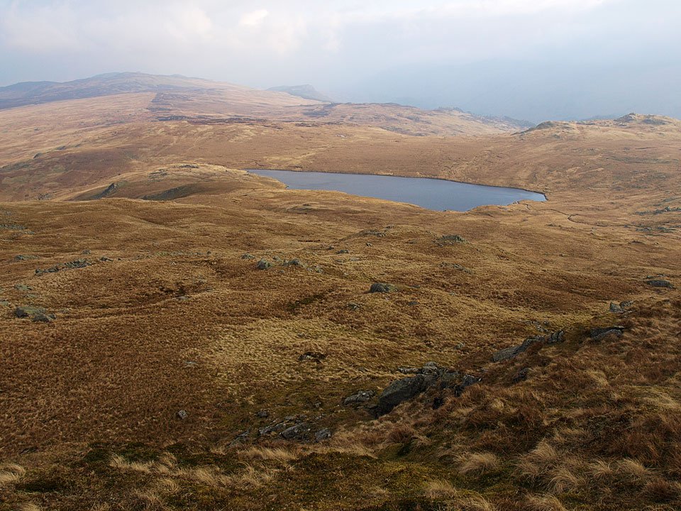
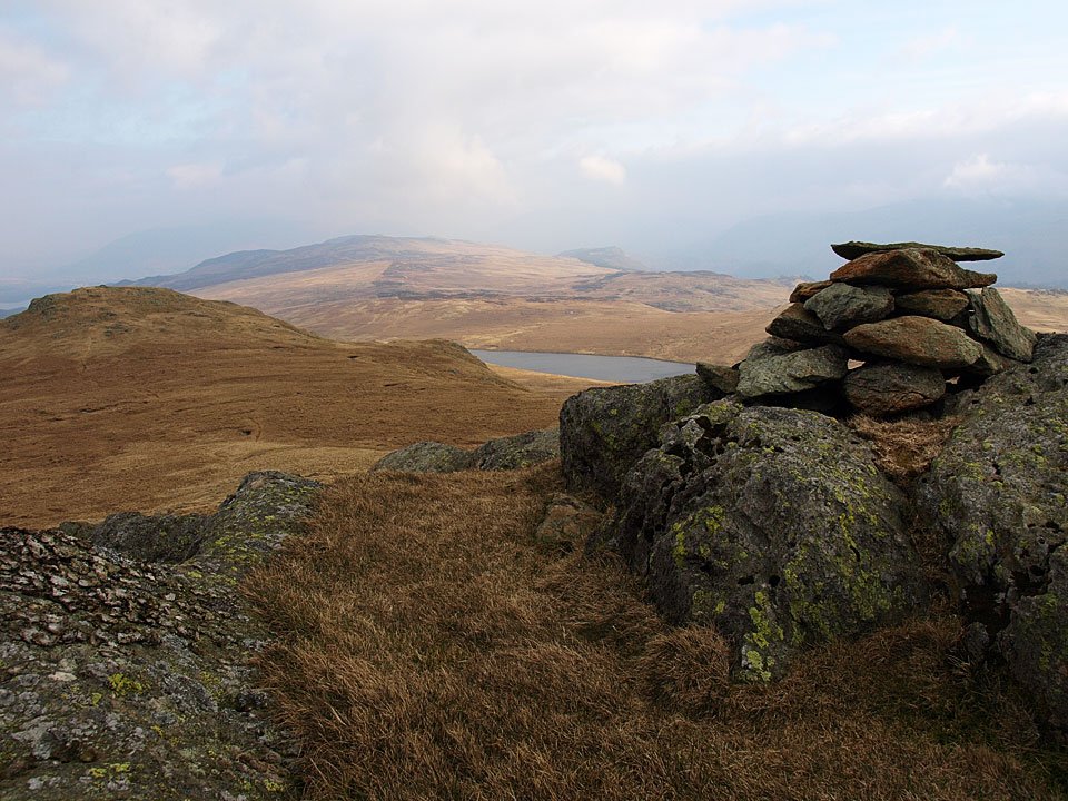
Blea Tarn from Low Saddle, Armboth Fell beyond.

21.04.08-055.jpg

Low Saddle on Coldbarrow Fell.

21.04.08-065.jpg

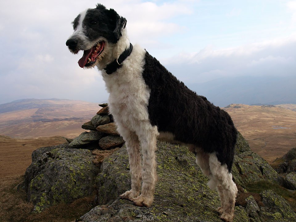
Casper, the Lion King.

21.04.08-072.jpg

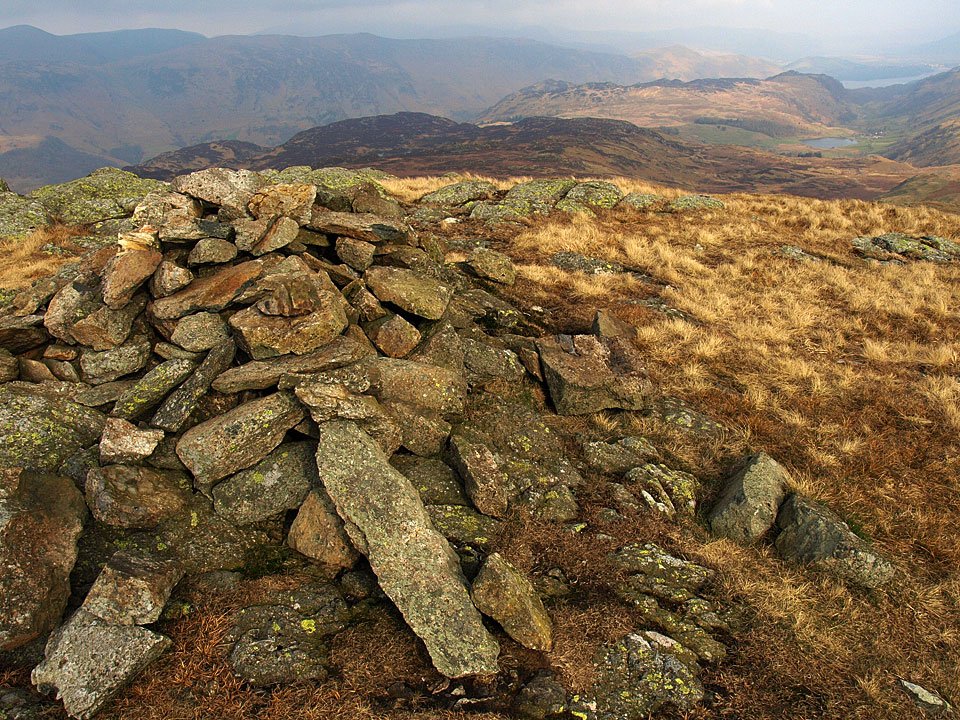
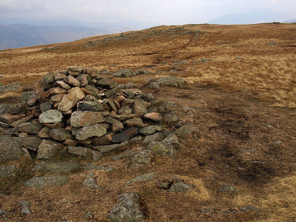
High Saddle on Coldbarrow Fell.

21.04.08-080.jpg

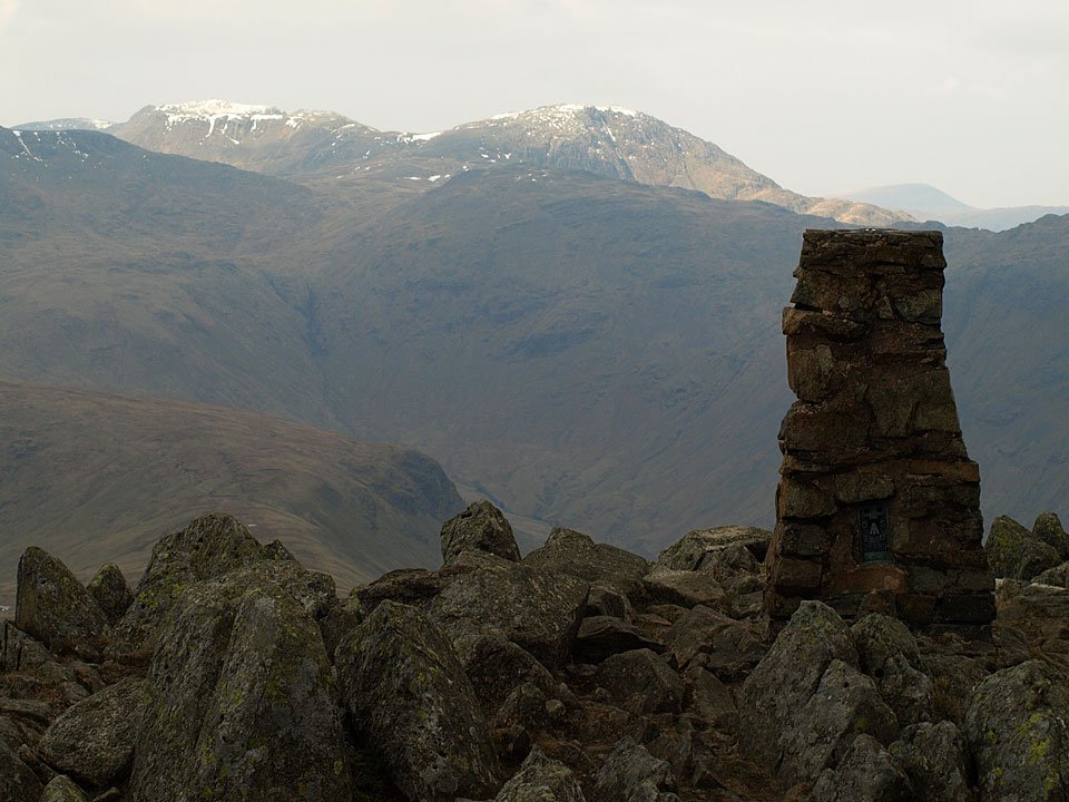
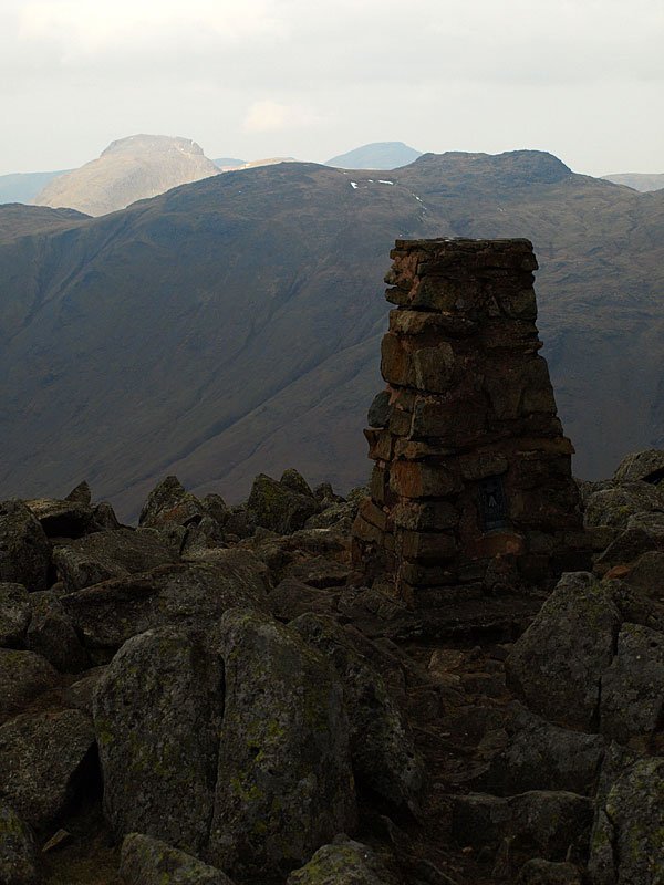
Bowfell, Esk Pike and the Scafells from the summit of Ullscarf, Great Gable a distant right.

21.04.08-083.jpg

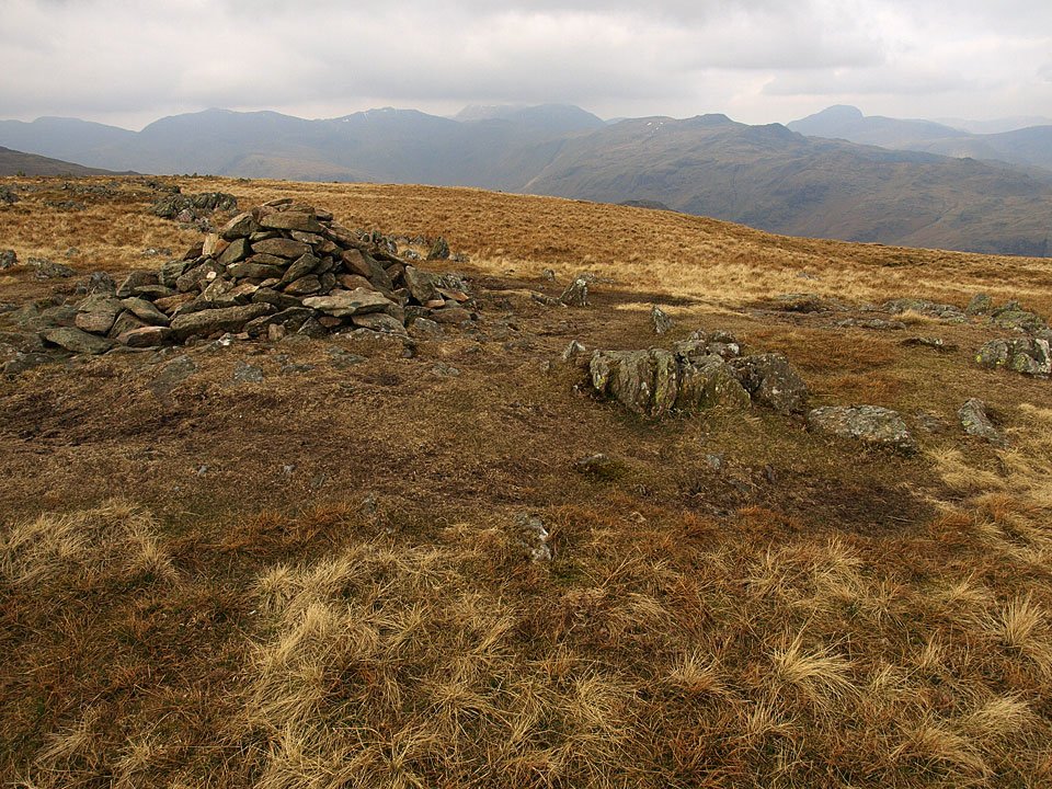
Ullscarf.

21.04.08-102.jpg

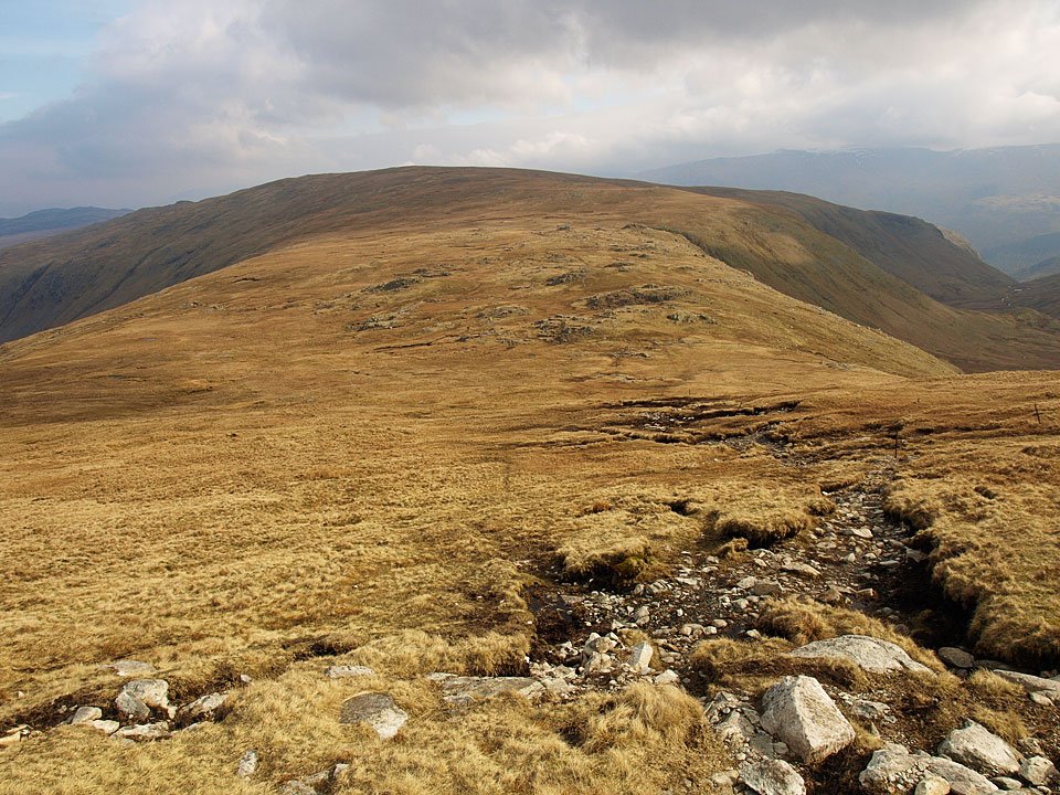
Another all too brief glimpse of sunshine on the climb to Low White Stones looking over Greenup Edge to Ullscarf.

21.04.08-105.jpg

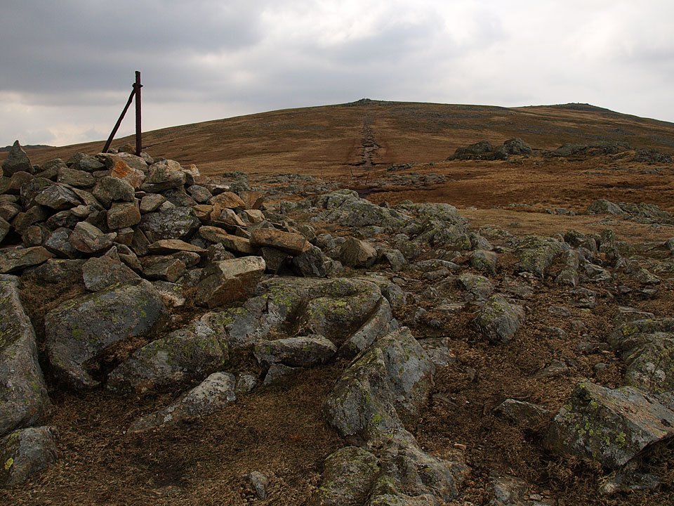
Heading for High Raise.

21.04.08-111.jpg

Snow topped Scafell Pike and Great End from High Raise.

21.04.08-114.jpg

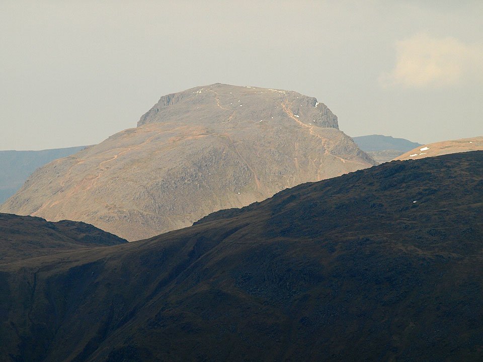
Sunlight on Great Gable.

21.04.08-115.jpg

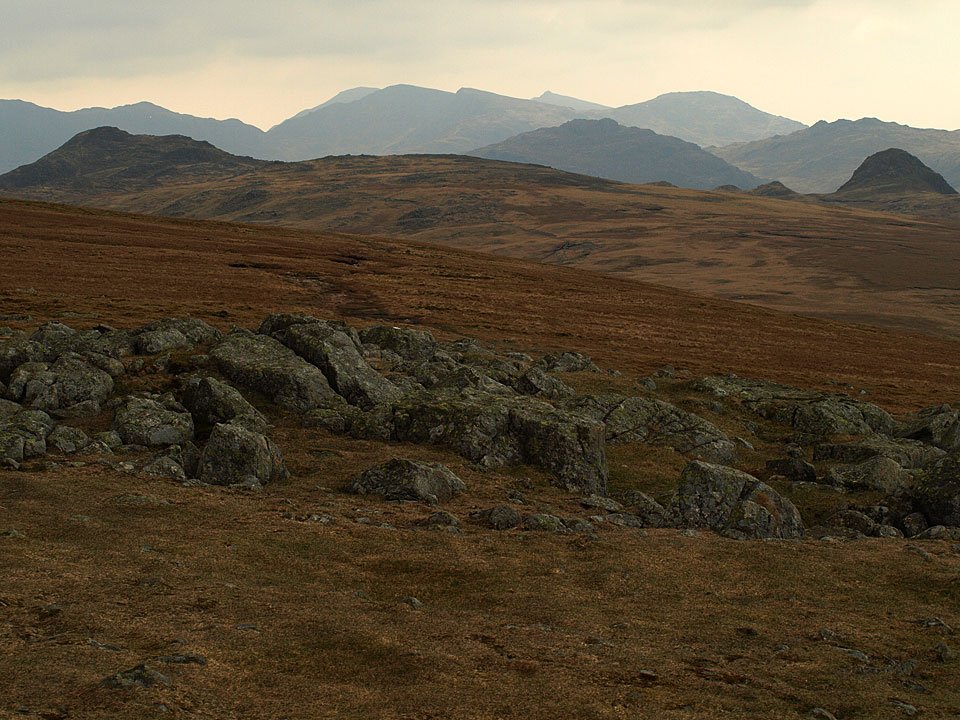
A southerly silhouette - the Coniston fells beyond the Langdale Pikes.

21.04.08-118.jpg

Great Gable over Glaramara.

21.04.08-130.jpg

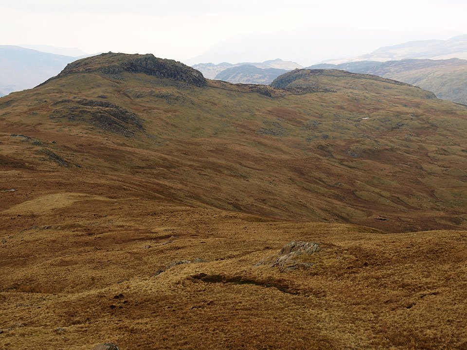
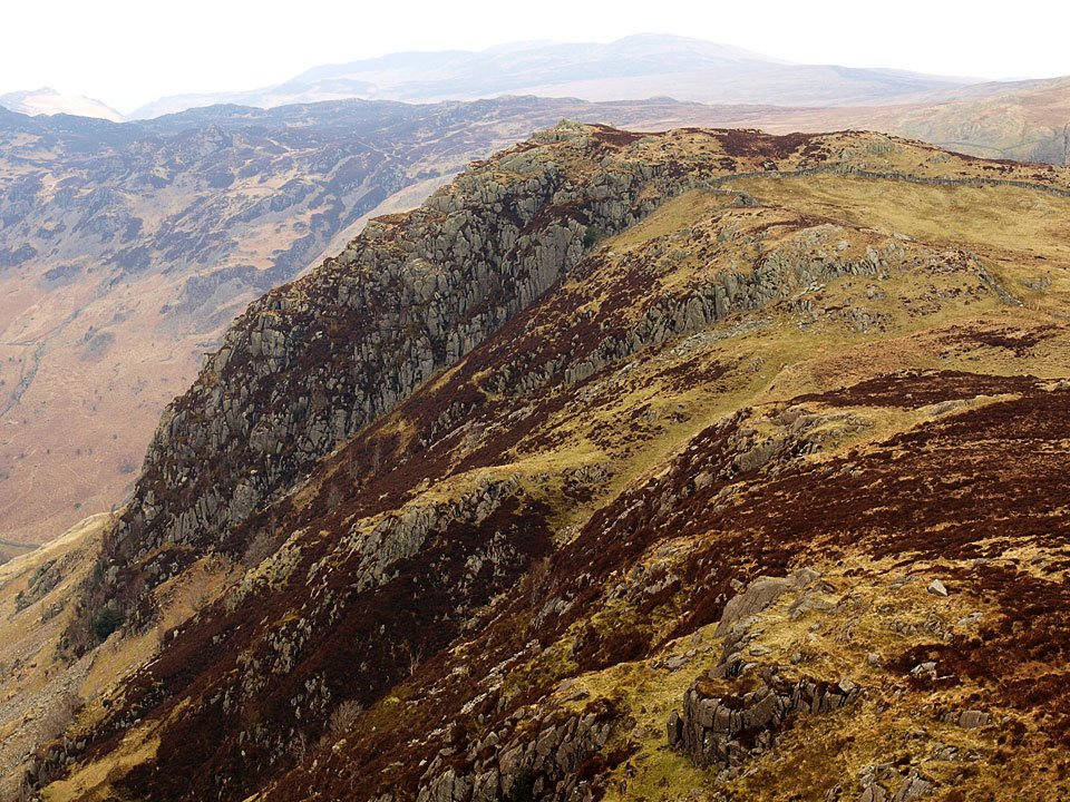
Descending to Sergeant's Crag, left and Eagle Crag to the right.

21.04.08-140.jpg

High Raise from Sergeant's Crag. The lump on the far right is Pike o' Stickle.

21.04.08-146.jpg

Eagle Crag from Sergeant's Crag.

21.04.08-155.jpg

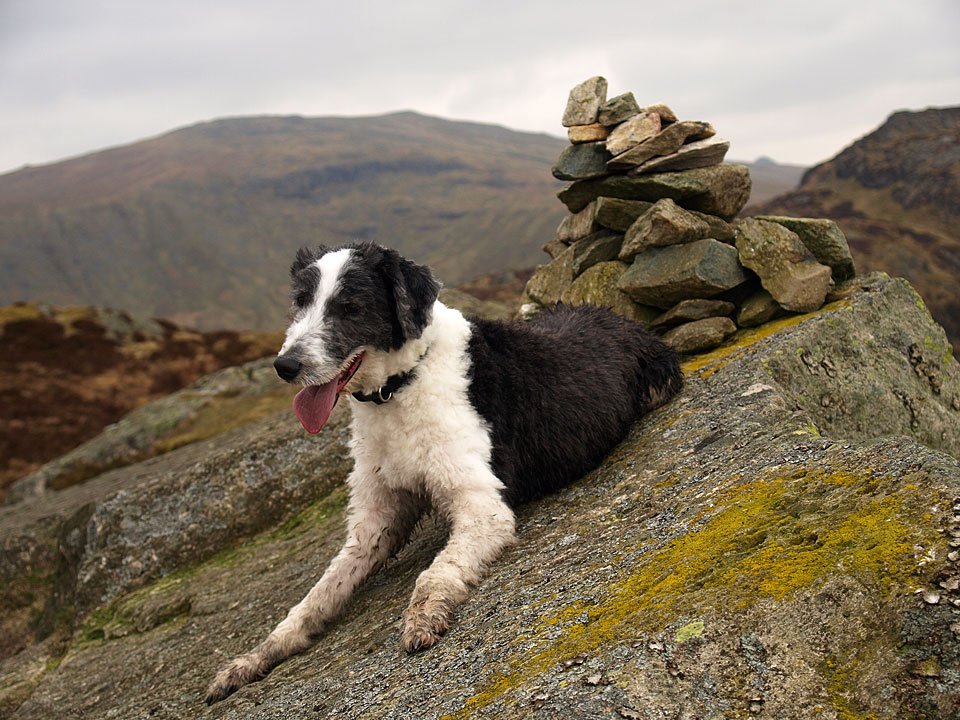
Hold on tight Casper! The summit of Eagle Crag.
21.04.08-159.jpg

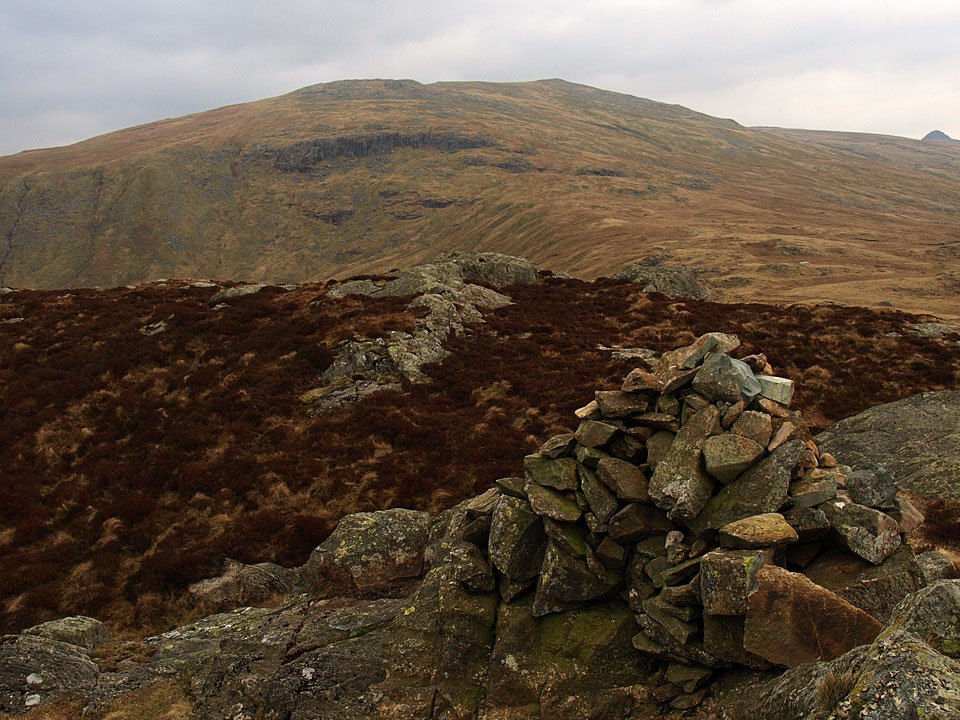
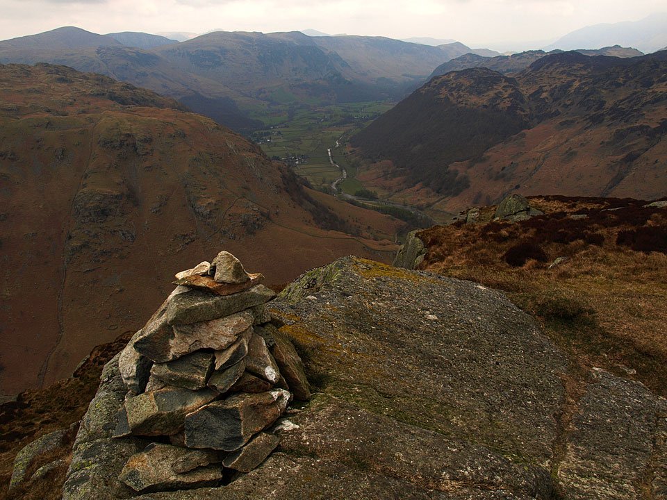
Sergeant's Crag and Langstrath from the summit of Eagle Crag. At the head are Bowfell and Esk Pike.
21.04.08-161.jpg

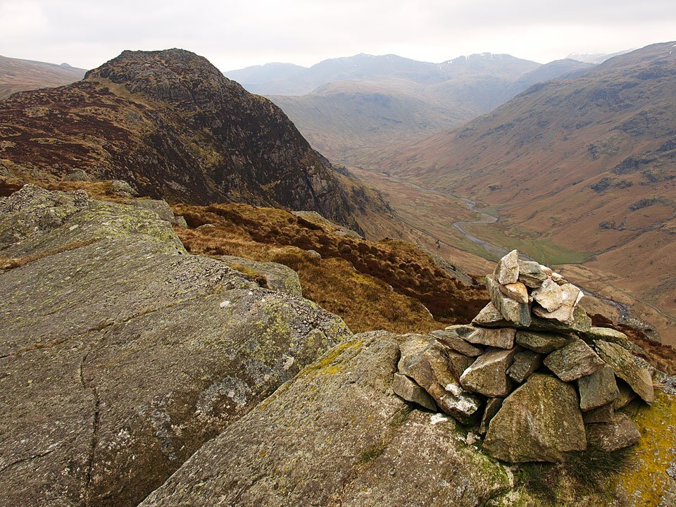
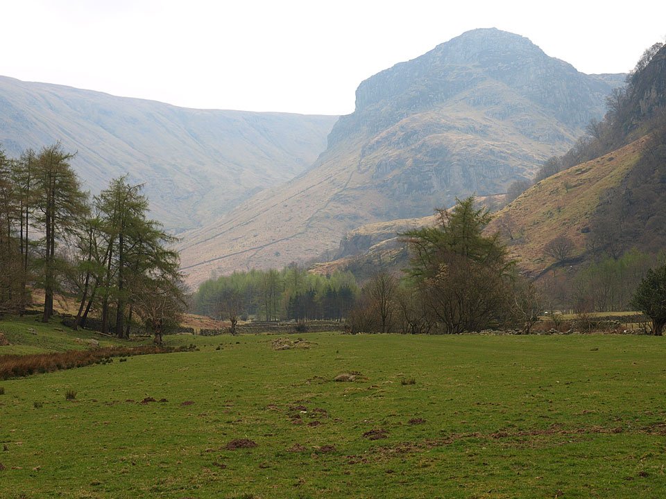
Borrowdale from Eagle Crag.
21.04.08-173.jpg

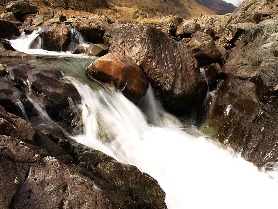
Cascades on Langstrath Beck.

21.04.08-175.jpg

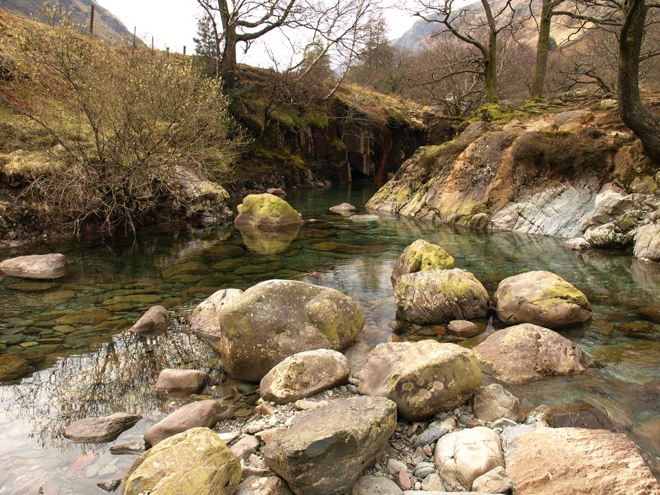
Lovely clear pools on Langstrath Beck. If it was 10 degrees warmer...

21.04.08-178.jpg

A final, still hazy view to Eagle Crag from Stonethwaite.

Share this…


  • Facebook


  • Twitter


  • Messenger


  • Whatsapp


  • Email

Previous walk Next walk

Walking Diary

  • Walla Crag 27/03/2025
  • Bowfell 19/03/2025
  • Farewell Fletcher 27/02/2025
  • Scafell Pike & Lingmell 16/01/2025
  • Blencathra 10/01/2025

Social

  • Facebook
  • Twitter

Information

  • Striding Edge
  • T&C’s
  • Privacy
  • Links