Striding Edge

A photo diary of Lake District fell walks

  • Walks
  • Fells
    • Wainwrights
      • Eastern Fells
      • Far Eastern Fells
      • Central Fells
      • Southern Fells
      • Northern Fells
      • North Western Fells
      • Western Fells
      • Outlying Fells
    • Birketts
  • Dogs
  • Love The Lakes
  • Contact

Fairfield

Walked on 12/04/2005

Start point: Cow Bridge, Hartsop (NY 403 134)

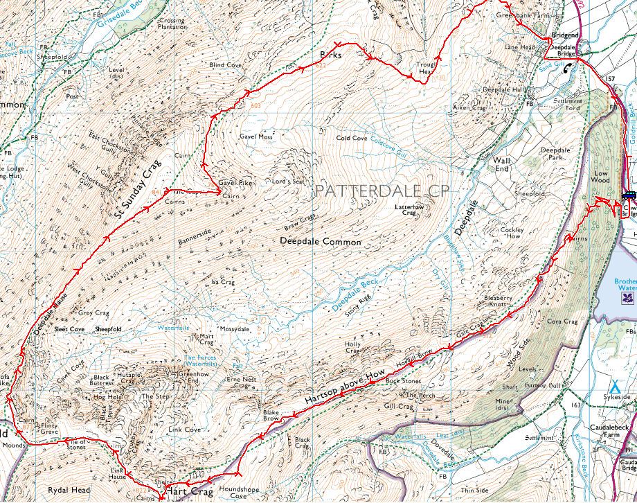
Cow Bridge – Gale Crag (322) – Hartsop Above How (323) – Hart Crag – Fairfield – Cofa Pike – Saint Sunday Crag –Gavel Pike – Birks (324) – Arnison Crag (325) – Cow Bridge

Distance: 9.7 miles     Total Ascent: 1385 metres     Time Taken: 4 hours

Weather: Sunny with a strong breeze. 8oC in the valley rising to 12oC. Icy cold on the tops.

I had a great high level ridge walk today along the Hartsop above How ridge, up to Hart Crag and Fairfield and then back down along the Saint Sunday ridge. It was a pleasant surprise to see the sunshine, but it was deceptively cold on the tops with a bitter wind blowing. With hindsight I would have been better off starting and finishing at Deepdale Bridge and walking the full Hartsop above How ridge.

Fairfield

Fairfield route map.

Elevation

Elevation profile of the route.

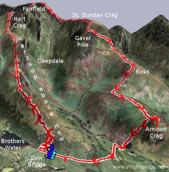
Fairfield 3D

3D image of the walk route.

Fairfield - 12th April 005

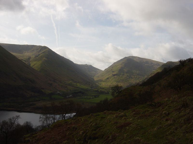
Caudale Moor, Kirkstone Pass and Red Screes in early sunlight from the steep ascent to the Hartsop Above How ridge.

Fairfield - Panorama1_small

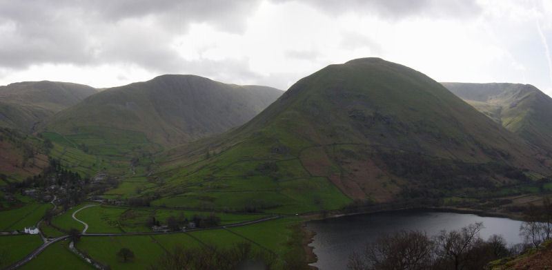
Hartsop Dodd over Brothers Water. To the left are Gray Crag and High Street.

Fairfield - 12th April 014

Place Fell from Gale Crag summit. Great Mell Fell can be seen to the left.

Fairfield - Panorama2_small_annotated

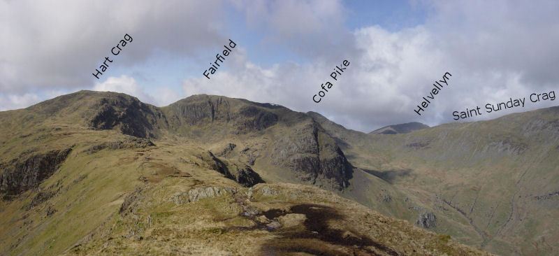
The view along the ridge from the summit of Hartsop above How.

Fairfield - 12th April 021

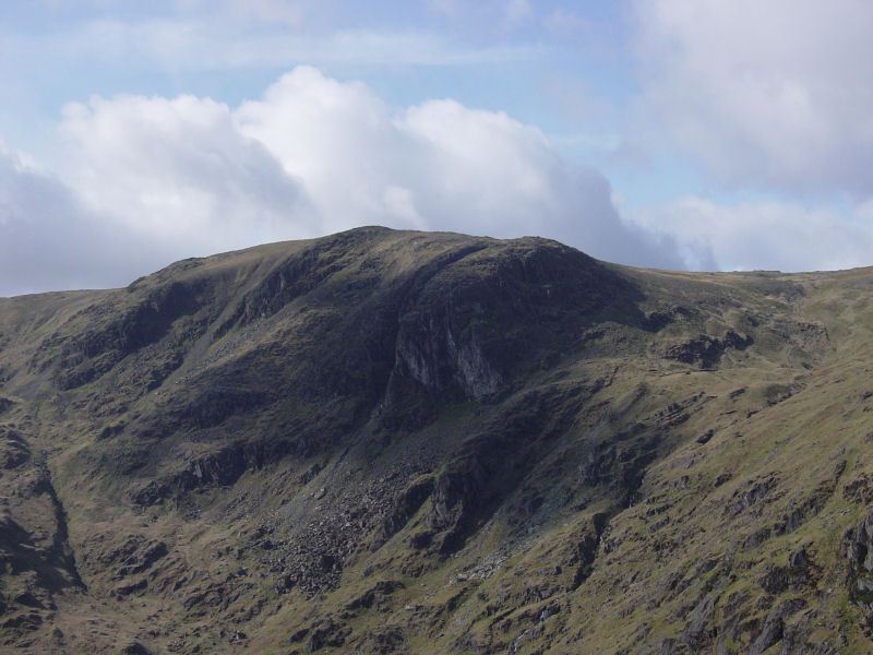
Dove Crag.

Fairfield - 12th April 026

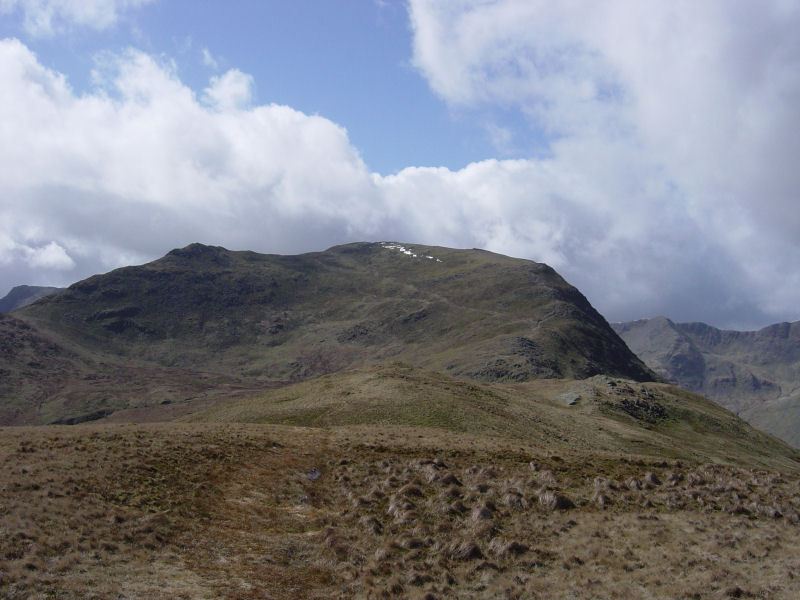
Looking back along Hartsop above How from Hart Crag.

Fairfield - 12th April 029

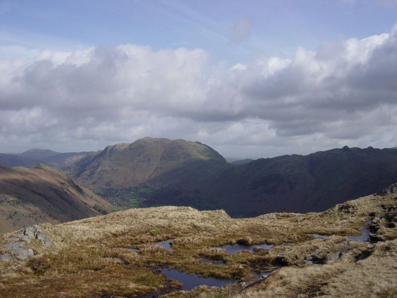
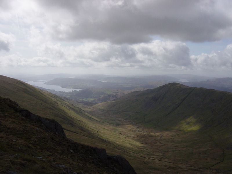
The view from Rydal Head. Windermere, Esthwaite Water and Coniston Water are all visible.

Fairfield - Panorama3_small

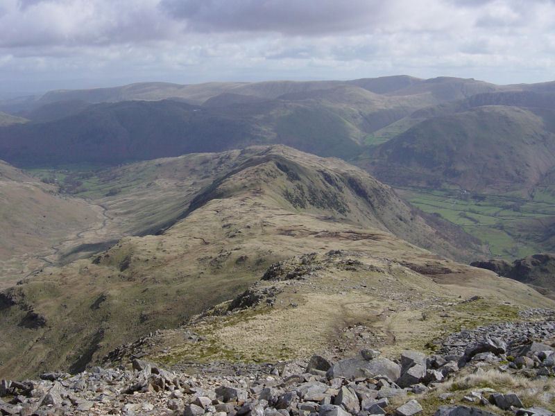
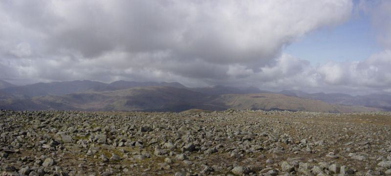
Fairfield summit.

Fairfield - 12th April 041

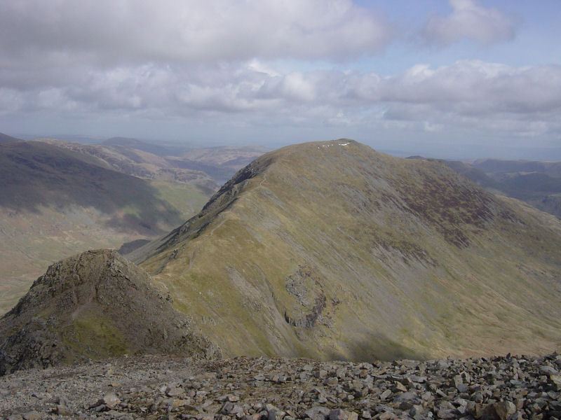
Cofa Pike to the left and Saint Sunday Crag.

Fairfield - Panorama4_small

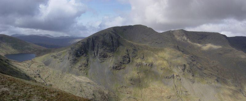
Grisedale Tarn and the Dollywagon Pike - Nethermost Pike - Helvellyn ridge.

Fairfield - 12th April 052

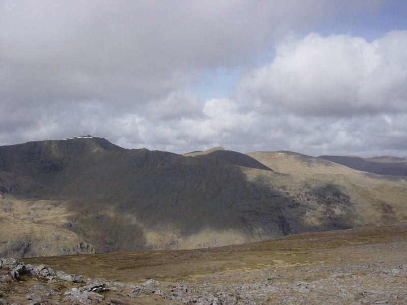
Striding Edge and Helvellyn from Saint Sunday Crag. The peak of Catstycam is to the right, then Raise and the Dodd's.

Fairfield - 12th April 058

Gavel Pike and Saint Sunday Crag from Birks.

Fairfield - 12th April 064

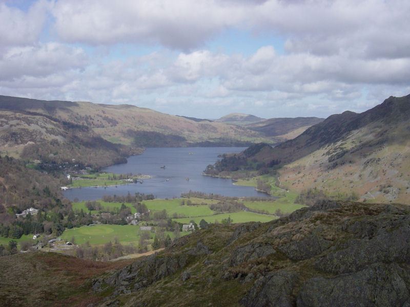
Ullswater from Arnison Crag.

Fairfield - 12th April 070

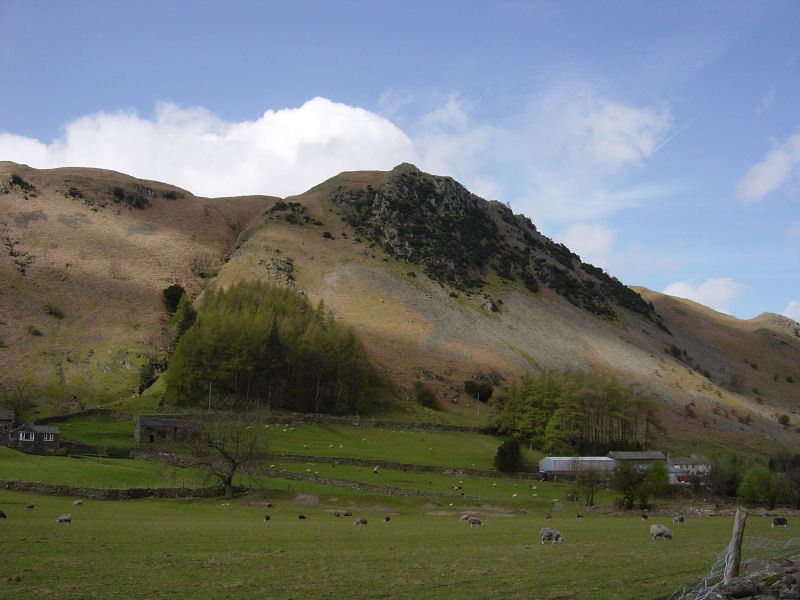
Arnison Crag.

Share this…


  • Facebook


  • Twitter


  • Messenger


  • Whatsapp


  • Email

Previous walk Next walk

Walking Diary

  • The Mosedale Horseshoe 01/03/2022
  • Caw 18/01/2022
  • Coniston sunset 17/01/2022
  • Blencathra 15/01/2022
  • Scafell Pike 14/01/2022

Social

  • Facebook
  • Twitter

Information

  • Striding Edge
  • T&C’s
  • Privacy
  • Links