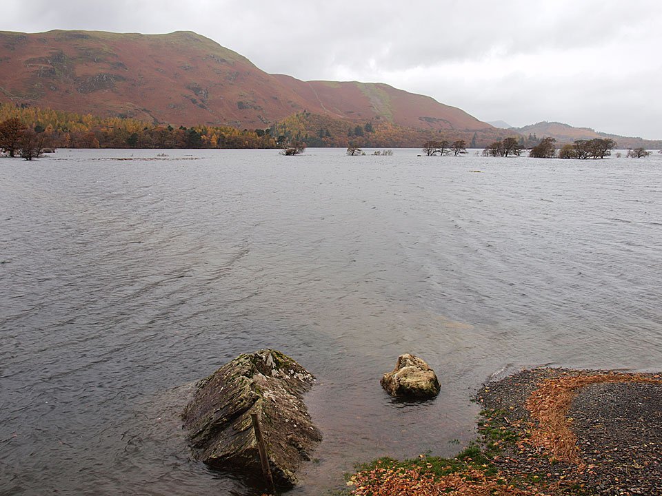
Striding Edge

A photo diary of Lake District fell walks

  • Walks
  • Fells
    • Wainwrights
      • Eastern Fells
      • Far Eastern Fells
      • Central Fells
      • Southern Fells
      • Northern Fells
      • North Western Fells
      • Western Fells
      • Outlying Fells
    • Birketts
  • Dogs
  • Love The Lakes
  • Contact

Castle Crag

Walked on 05/11/2010

Start point: Grange (NY 252 175)

Grange – Allerdale Ramble – Castle Crag – High Hows Wood – Low Hows Wood – Grange

Distance: 3.1 miles     Total Ascent: 270 metres     Time Taken: 1 hour 10 minutes     Start Time: 11:00

Weather: Light rain. 10C

The extreme wet weather made an unwelcome return again yesterday and many roads in the area were flooded with flood warnings also being given for many areas in Cumbria. I visited both Love the Lakes shops this morning and was good to see that all the roads were open and largely clear of water. There was some localised flooding and I took some photos of these areas on my journey. Eventually I ended up in Borrowdale for a short walk up to the lowest Wainwright of them all, Castle Crag.

A few photos taken on the way to Love the Lakes, Bowness…
Castle Crag

Castle Crag route map.

05.11.10-002

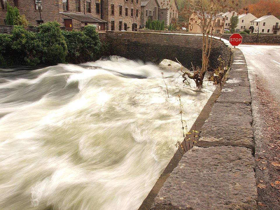
The River Leven at Backbarrow, a raging torrent with spray everywhere.

05.11.10-023

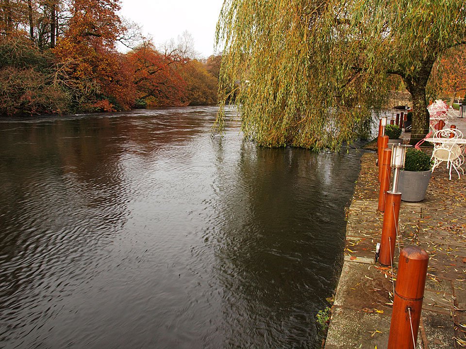
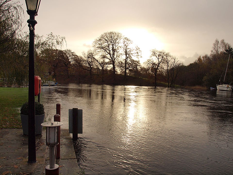
The Swan Hotel at Newby Bridge and the water is lapping at the terrace.

05.11.10-025

Looking the other ay from the same place. The water has risen above the bank on the grassed area to the left and that boat on the right has broken its mooring.
05.11.10-028

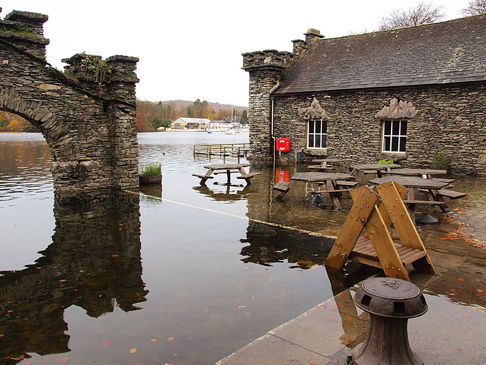
The almost inevitable flooding at Fell Foot cafe. The water isn't as deep as it has been the last couple of years but I think the tea room is flooded.

05.11.10-031

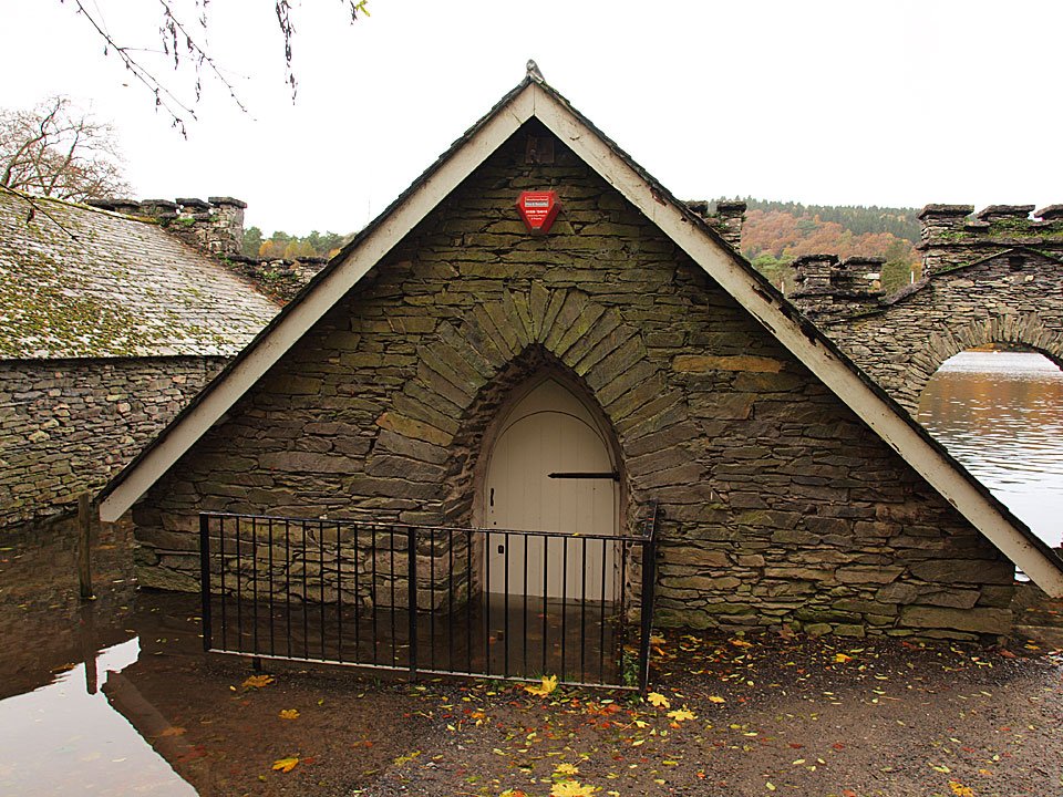
This building certainly is.

05.11.10-037

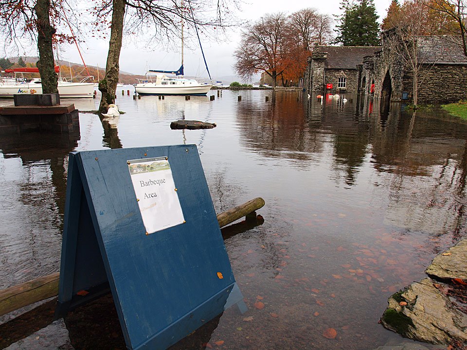
So is the barbeque area.

05.11.10-039

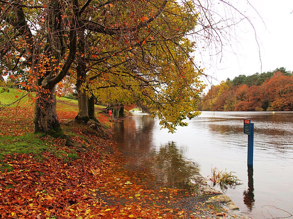
Fell Foot path.

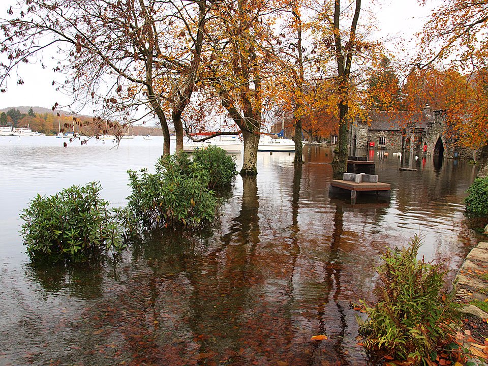
05.11.10-041

Shrubs and trees partially submerged.

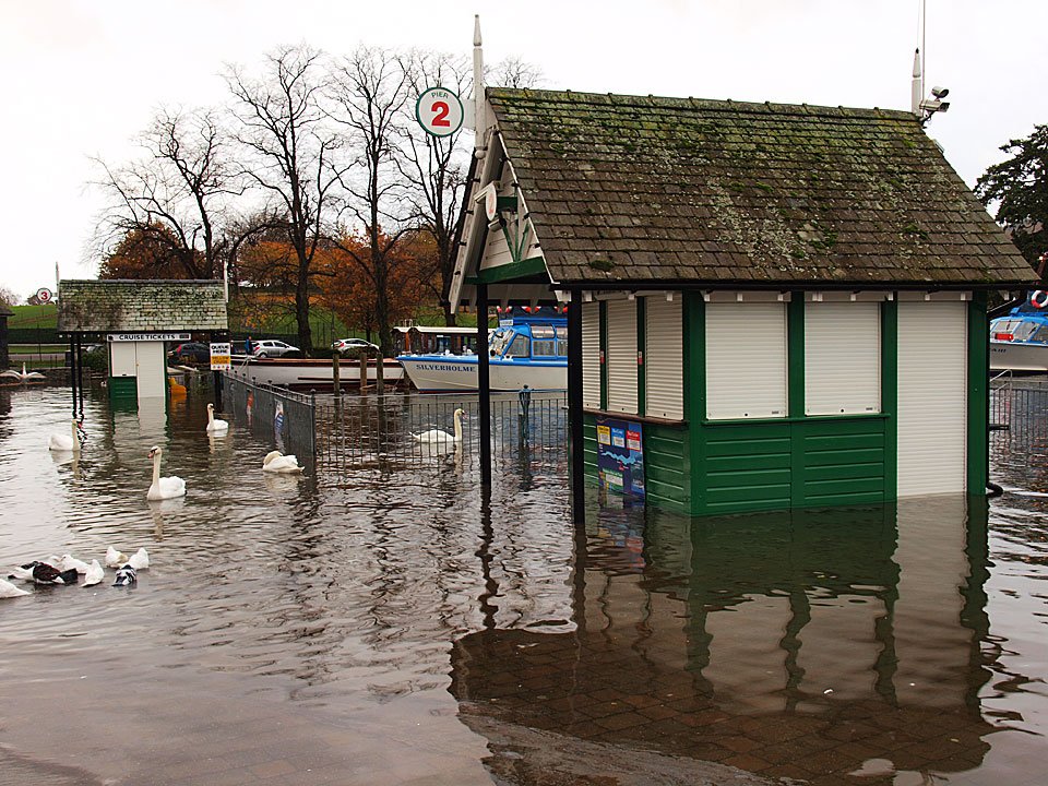
05.11.10-042

Ticket offices under water in Bowness.

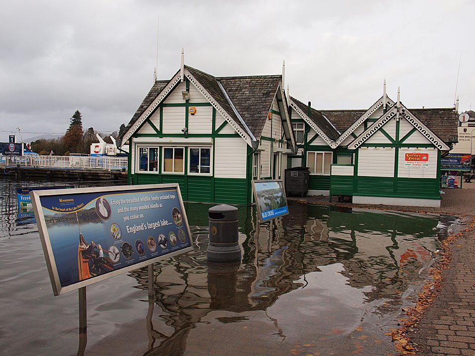
05.11.10-043

05.11.10-046

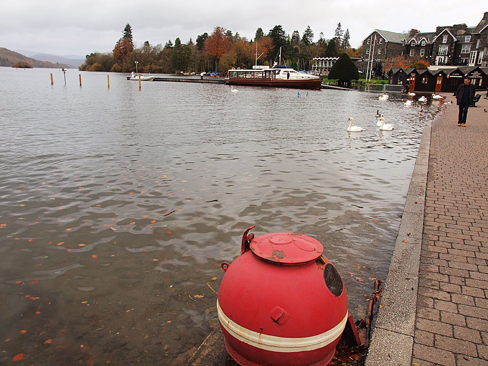
Windermere lapping at the promenade.

05.11.10-047

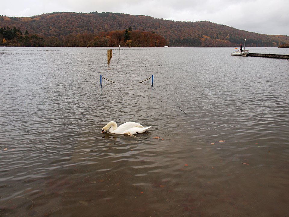
A swan looks for the jetty. - - - At least the roads to Keswick were clear enough with most of yesterday's standing water now gone.

05.11.10-053

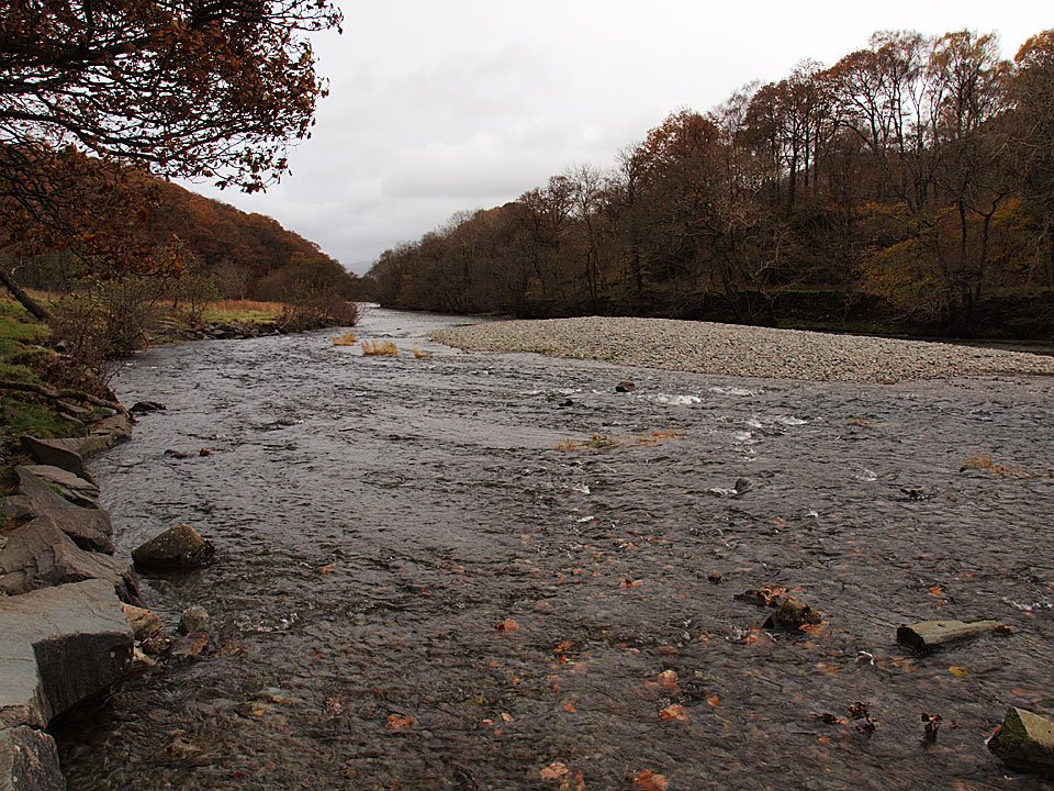
The River Derwent looking towards Grange.

05.11.10-057

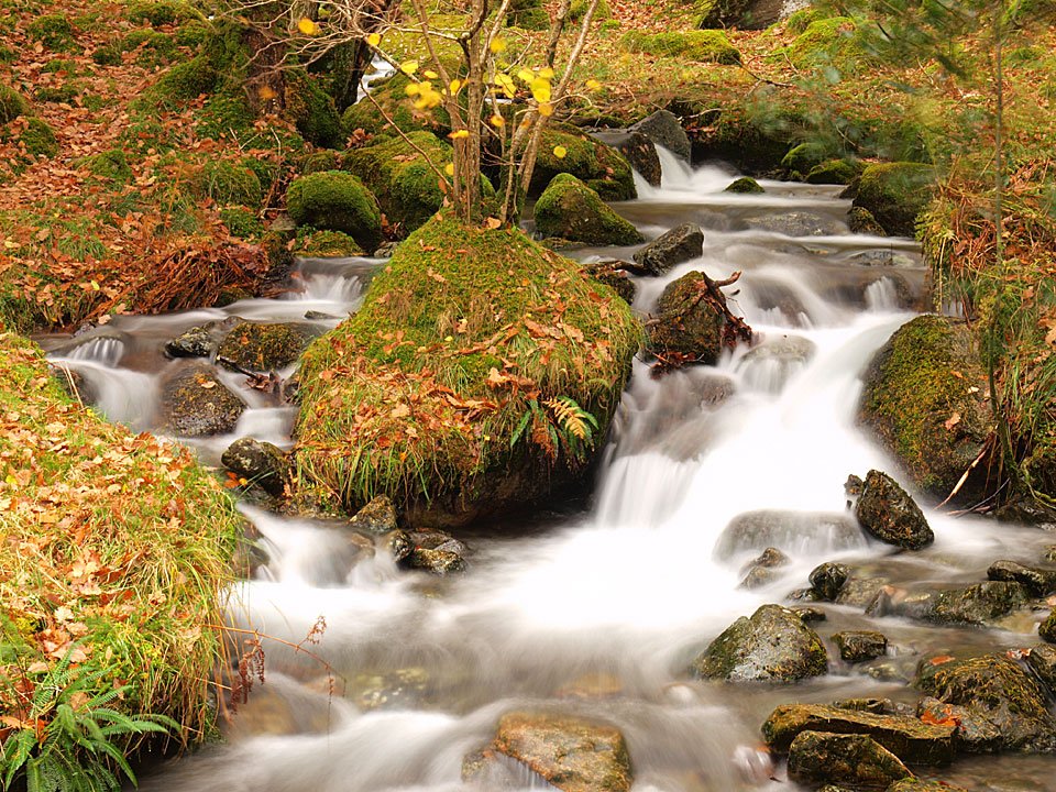
Beck crossing.

05.11.10-063

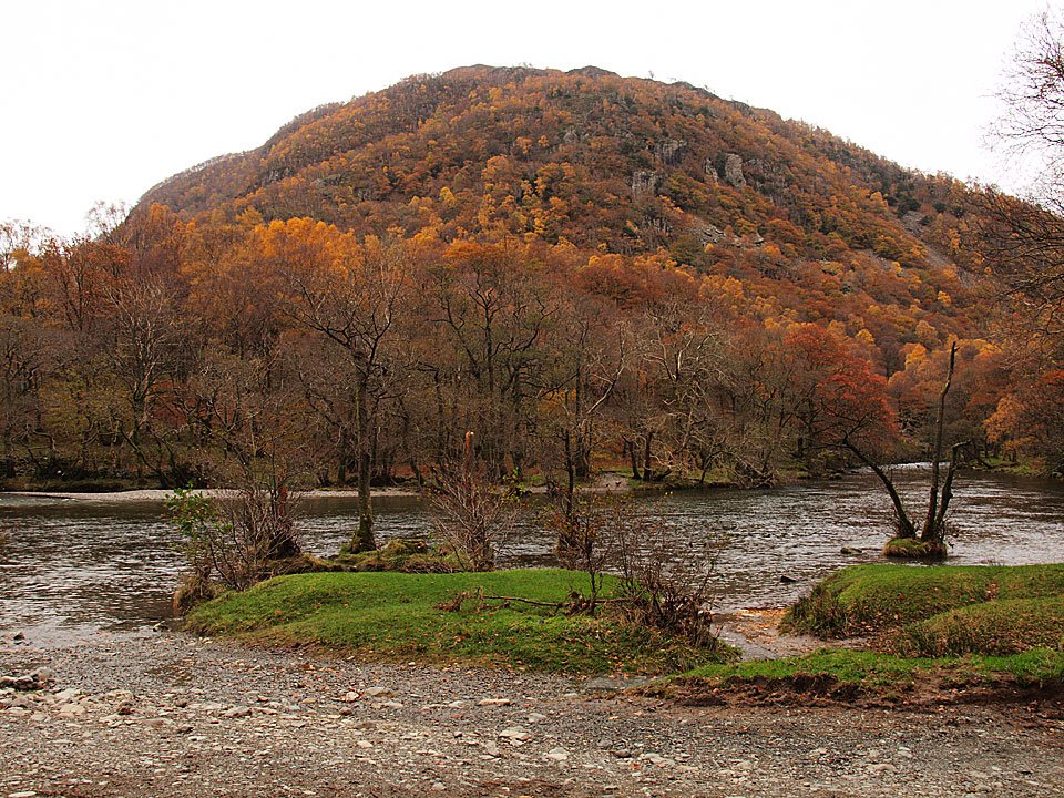
King's How across the river.

05.11.10-066

Crossing Gowder Dub.

05.11.10-074

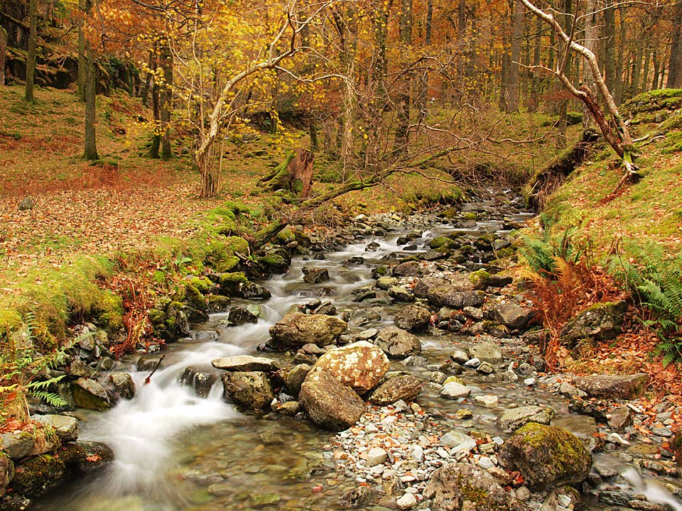
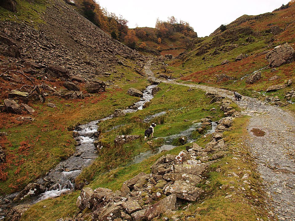
Following the Allerdale Ramble adjacent to Broadslack Gill.

05.11.10-076

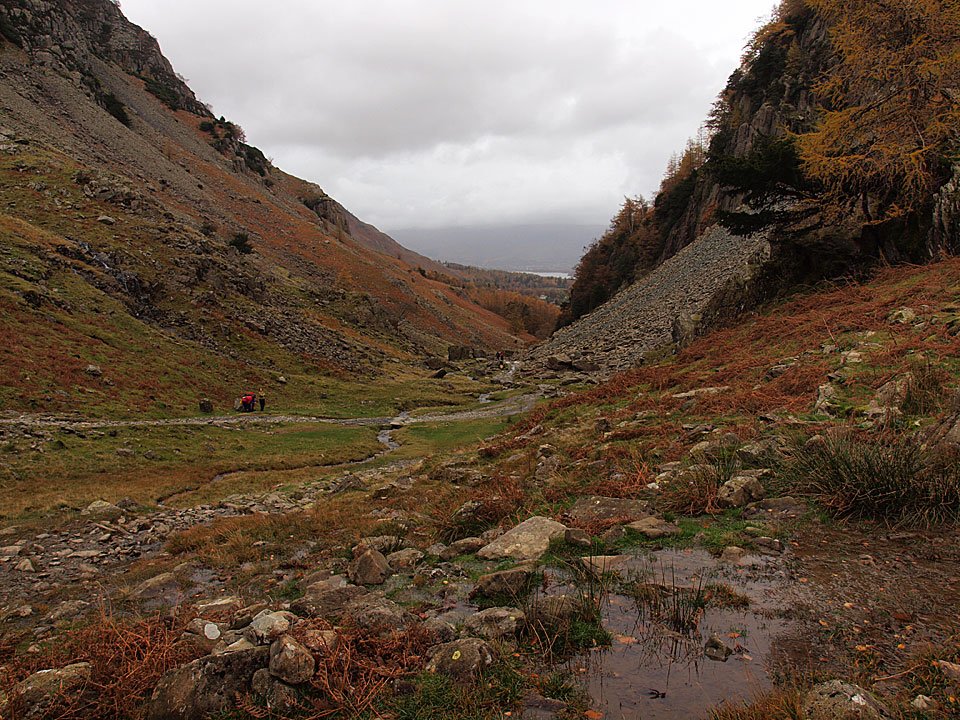
Looking back along the path from the start of the climb to Castle Crag.

05.11.10-077

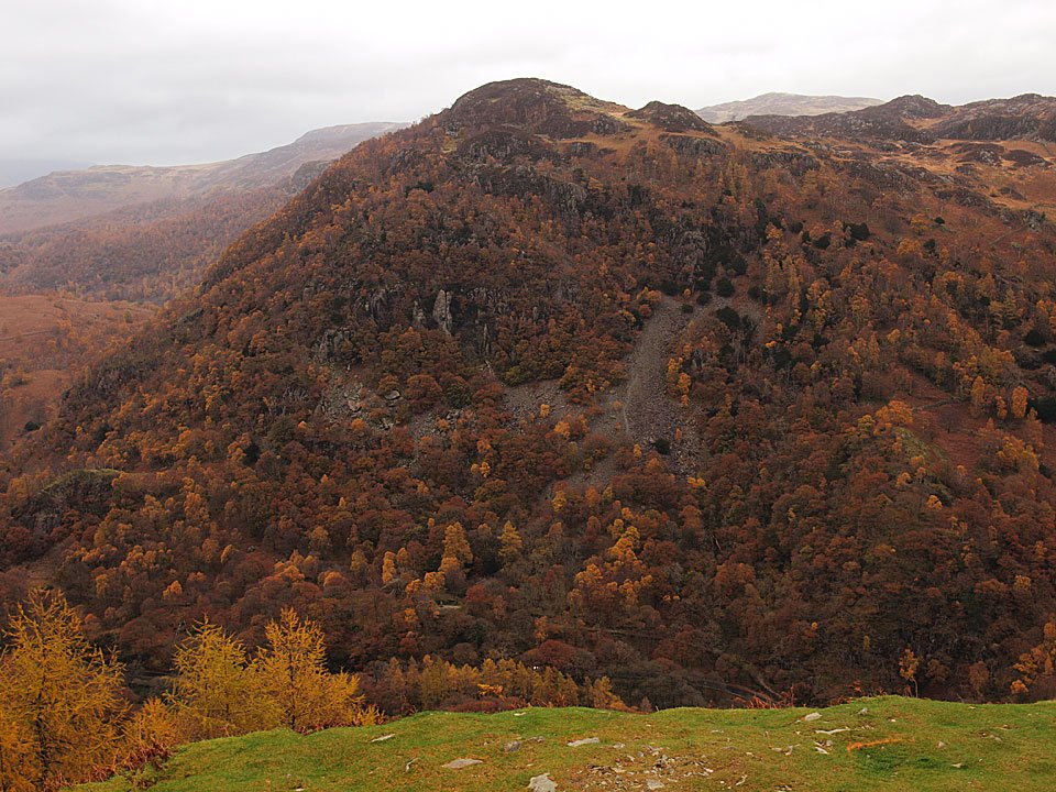
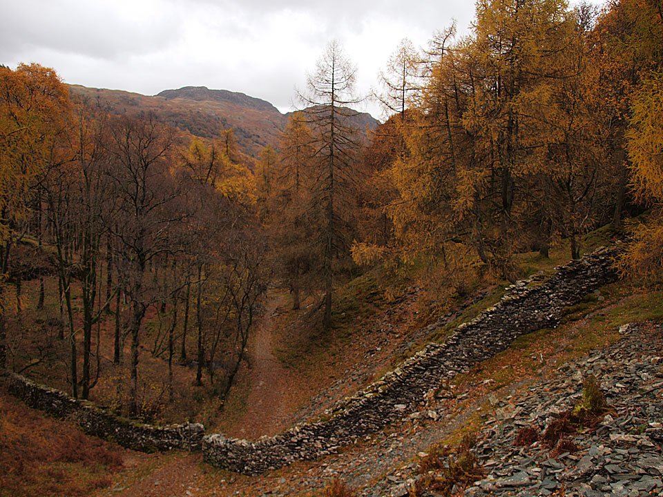
Castle Crag ahead through the larches and spoil heaps.

05.11.10-082

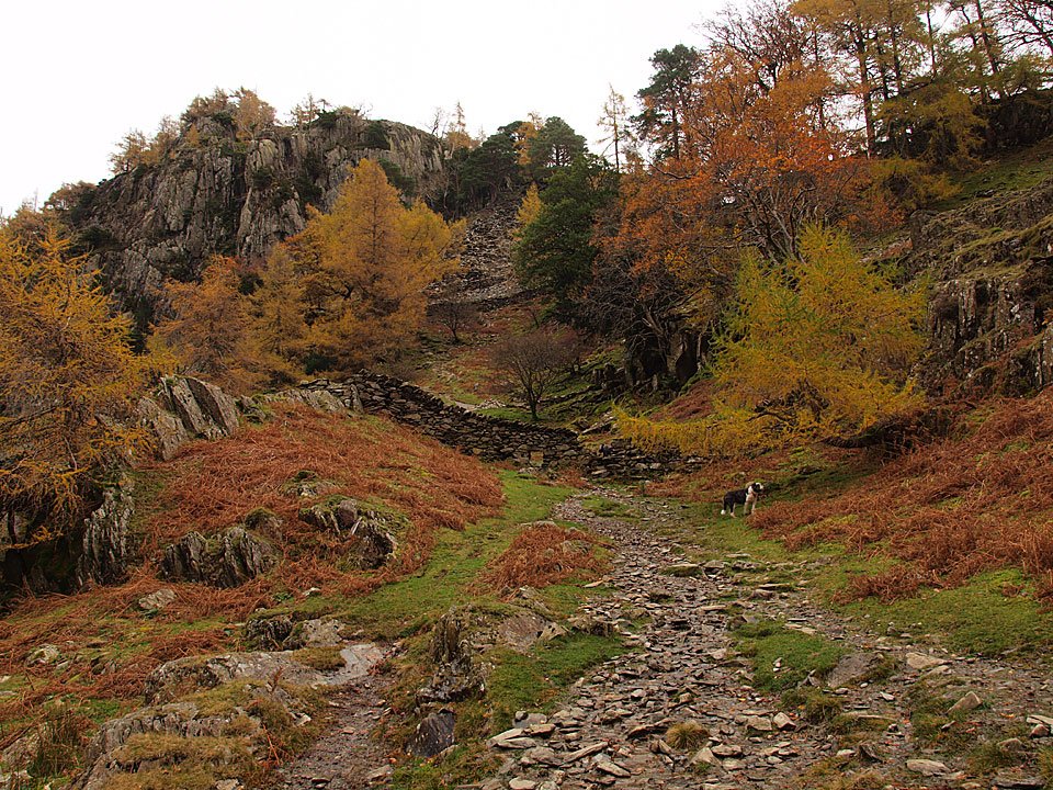
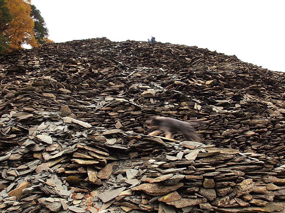
Dougal (in camouflage!) finds the zig zags through the slate spoil.

05.11.10-084

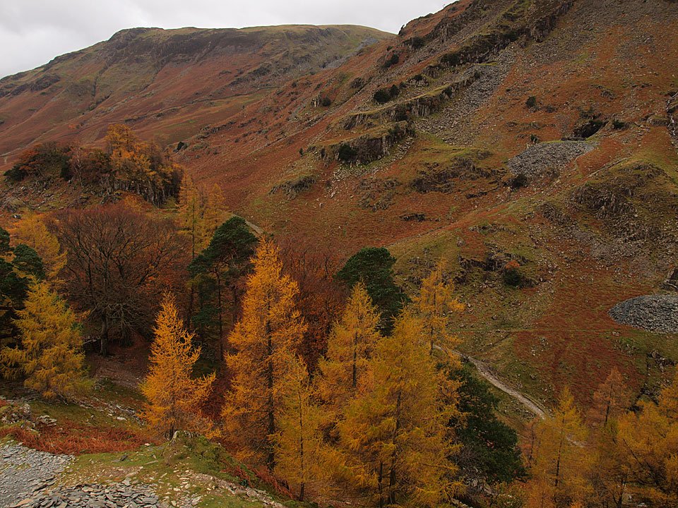
Looking across the colourful trees towards Dale Head.

05.11.10-085

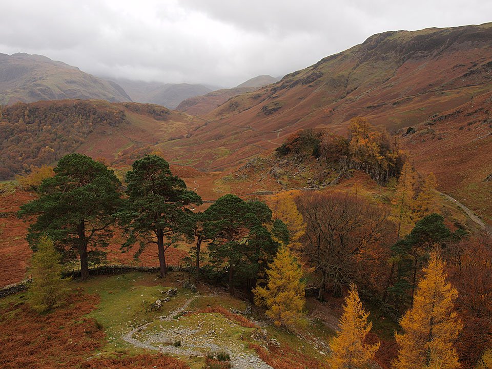
Looking into Borrowdale across Wainwrights Scots Pines.

05.11.10-086

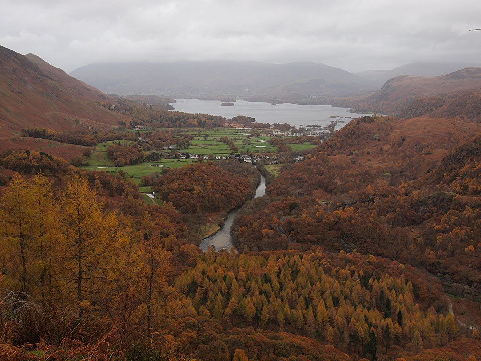
Here comes the rain! Derwent Water from the top of Castle Crag.

05.11.10-090

King's How.

05.11.10-101

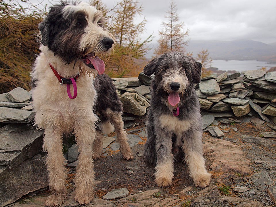
Big Casper and tiny Dougal.

05.11.10-103

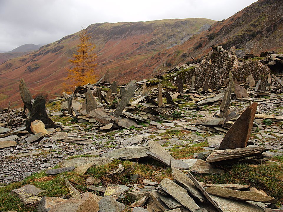
The standing slate stones below the summit.

05.11.10-104

The Borrowdale Fells from Castle Crag.

05.11.10-111

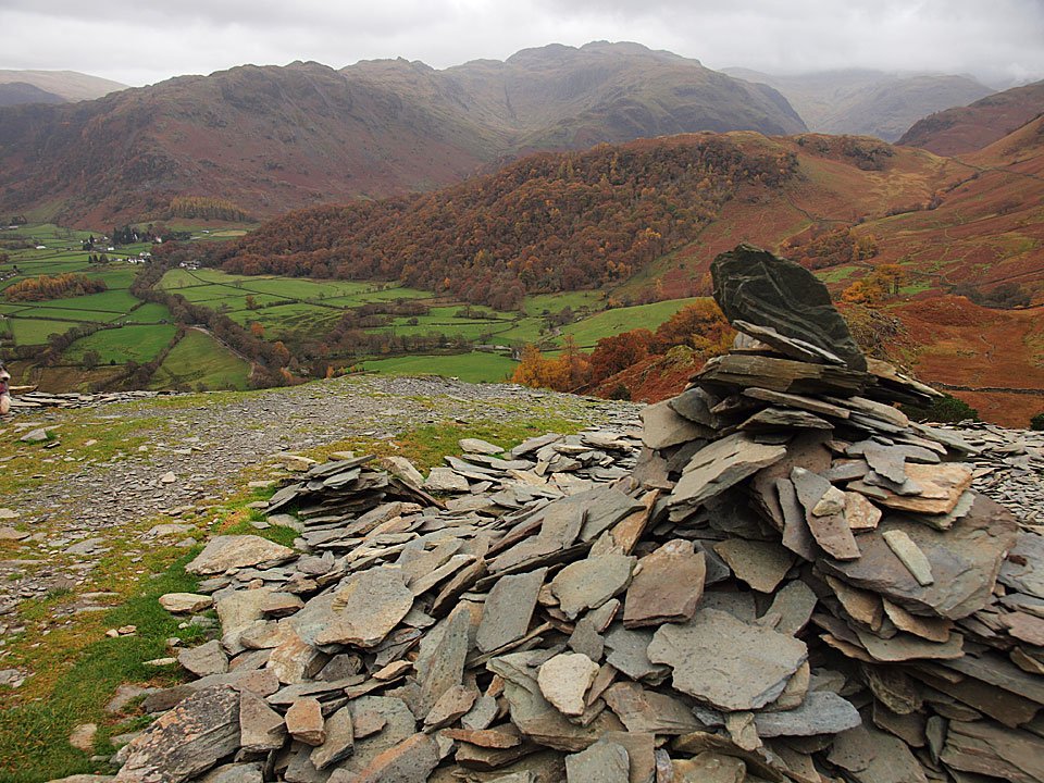
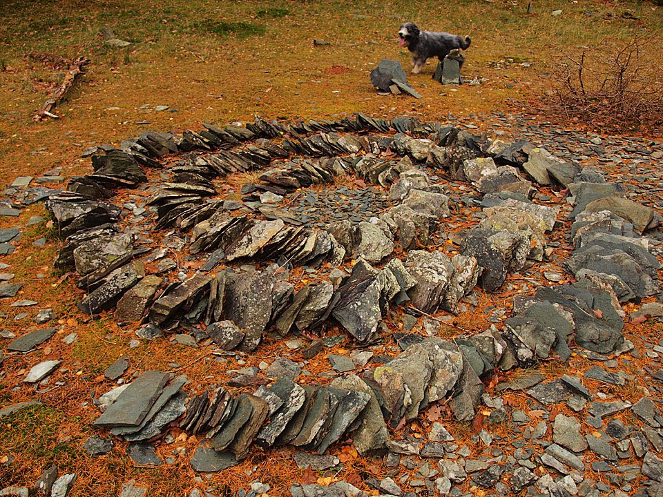
Dougal and a spiral masterpiece.

05.11.10-112

High Hows Wood.

05.11.10-119

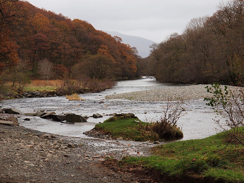
Back to the River Derwent.

05.11.10-122

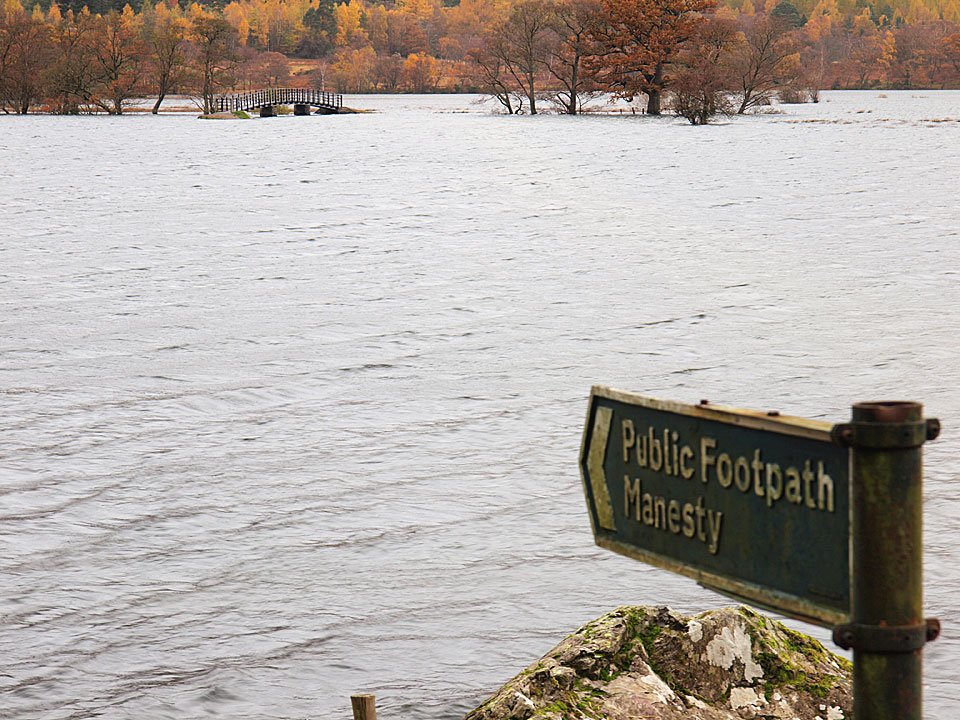
Down at the southern end of Derwent Water, there is no way to get to the footbridge today.

05.11.10-125

Derwent Water flood.

Share this…


  • Facebook


  • Twitter


  • Messenger


  • Whatsapp


  • Email

Previous walk Next walk

Walking Diary

  • The Mosedale Horseshoe 01/03/2022
  • Caw 18/01/2022
  • Coniston sunset 17/01/2022
  • Blencathra 15/01/2022
  • Scafell Pike 14/01/2022

Social

  • Facebook
  • Twitter

Information

  • Striding Edge
  • T&C’s
  • Privacy
  • Links