Start point: Woodland Fell road (SD 256 879)
Woodland Fell Road – Blawith Knott (OF) – Angus Tarn – Tottlebank Height (OF) -Round Haw – Wool Knott (OF) – Slatestone Fell – Tottlebank Height (OF) – Woodland Fell Road
Distance: 4.7 miles Total Ascent: 417 metres Time Taken: 2 hours Start Time: 09:25
Weather: Cold and changeable with showers. 2C
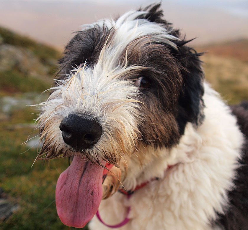
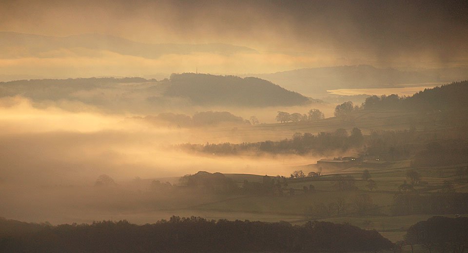
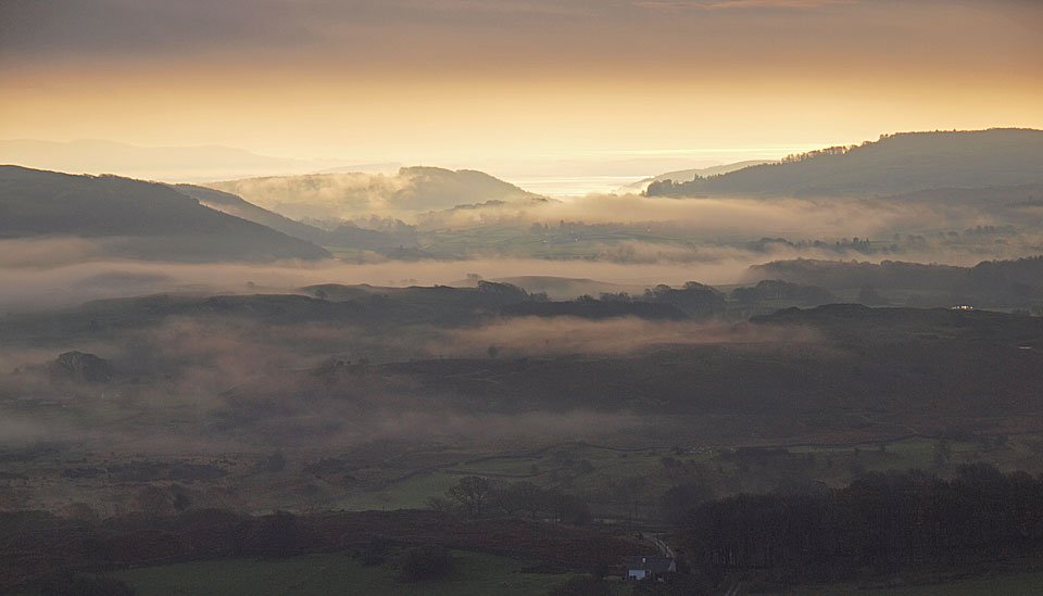
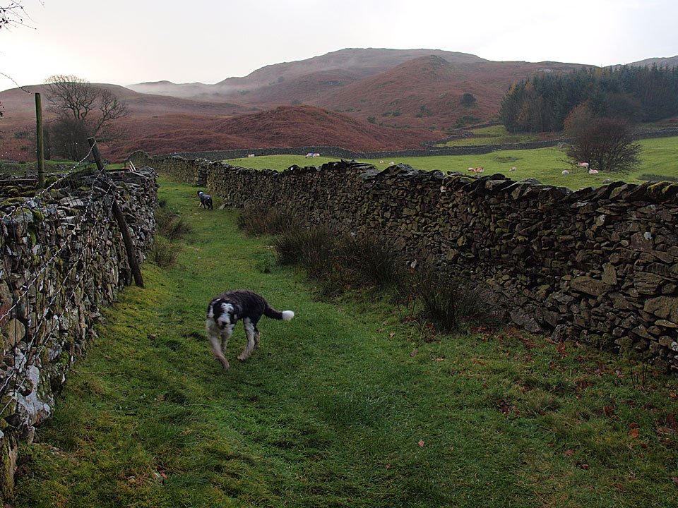
The weather was completely odd in the south west Lakes this morning – when I set off it was cold and clear with an inversion over Coniston Water but I was soon overtaken by higher level cloud which was constantly clearing then dropping down again. At one point it started raining as well and you couldn’t tell what it would be like from one minute to the next. It was good to get out on a walk today though – it is Casper’s 7th birthday today, so Happy Birthday to him!
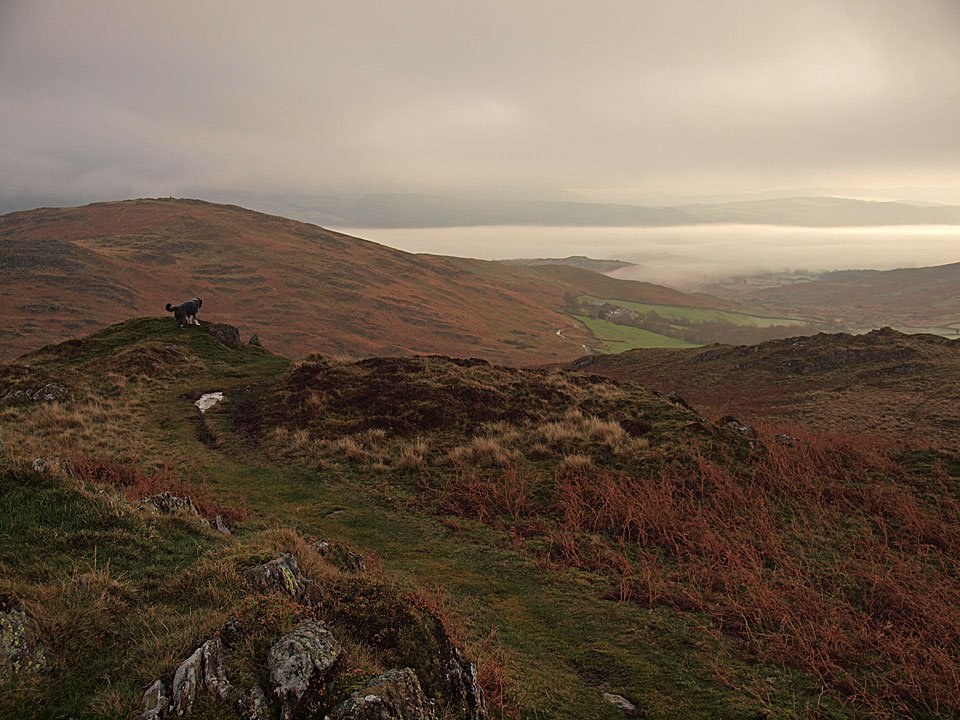
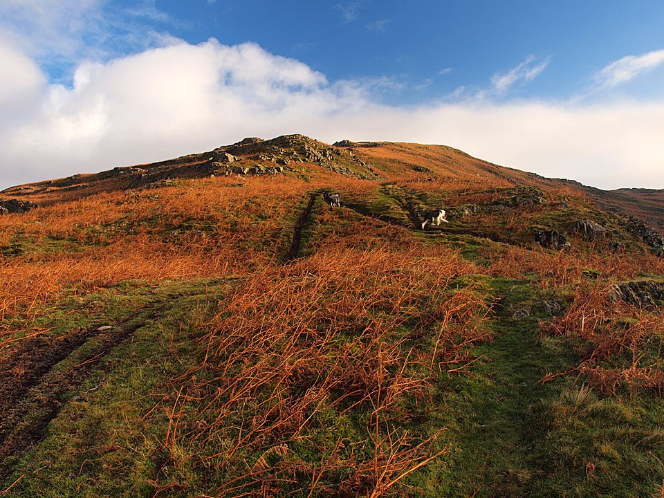
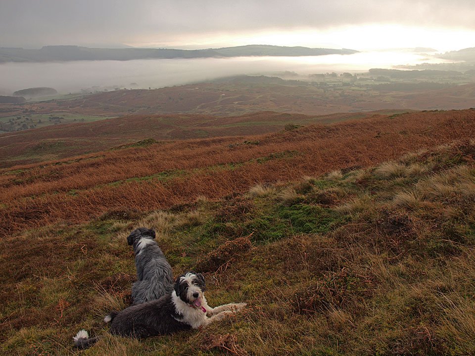
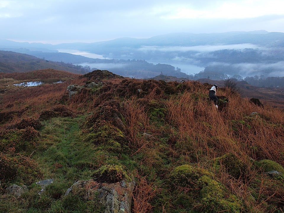
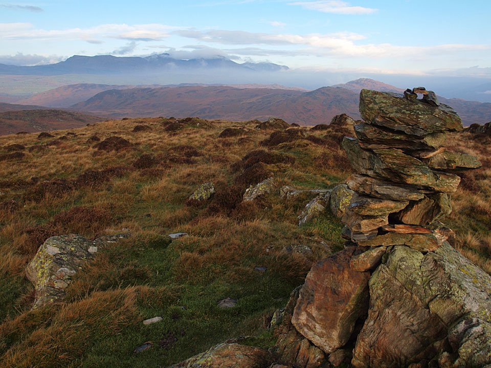
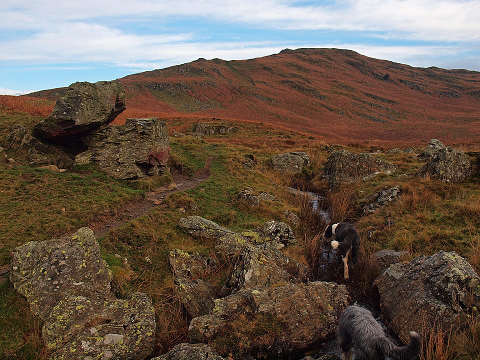
Dougal heads for Tottlebank Height. Beyond, there is a temperature inversion over Coniston Water and the Crake Valley.
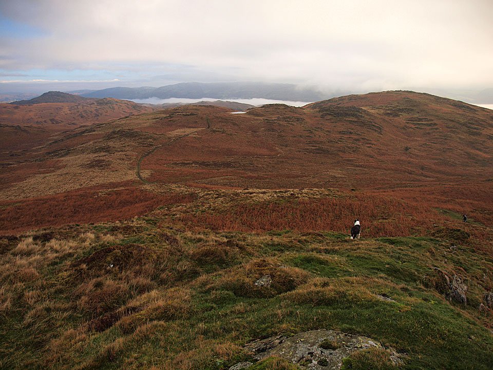
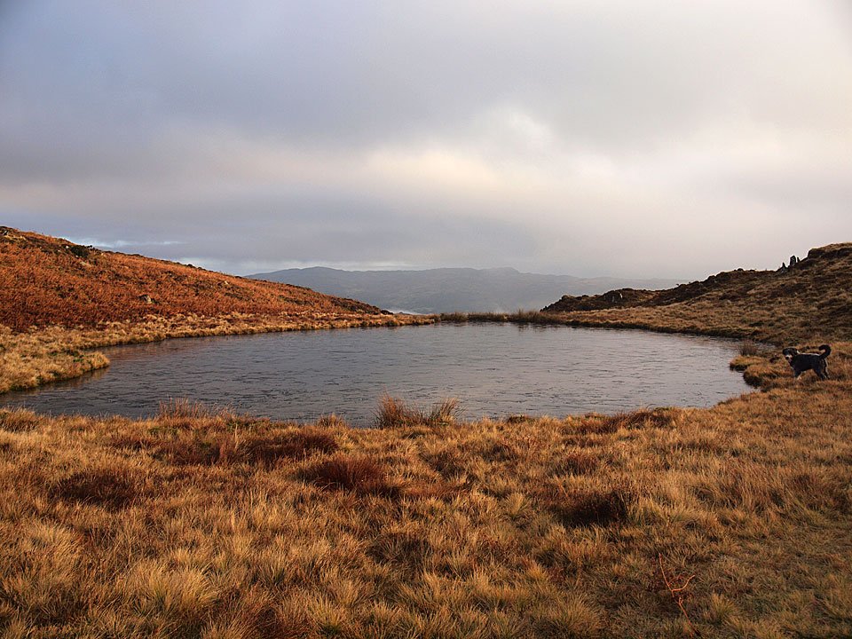
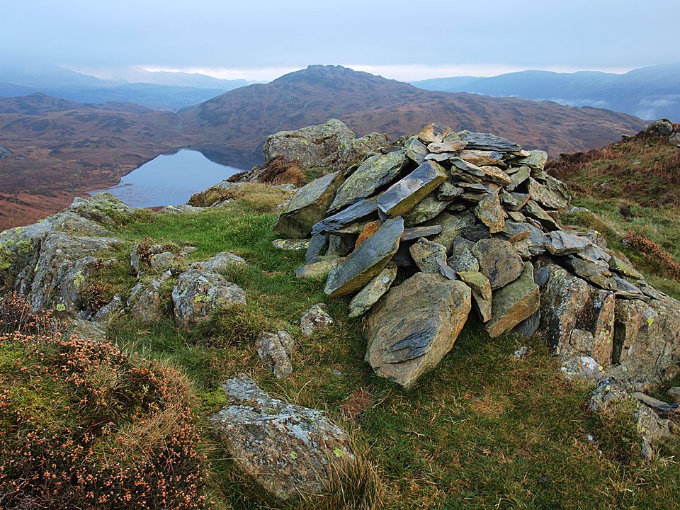
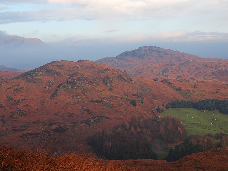
Beacon Fell left, Angus Tarn centre and Tottlebank Height on the right with the Coniston Water inversion visible along its length.
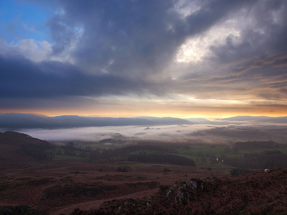
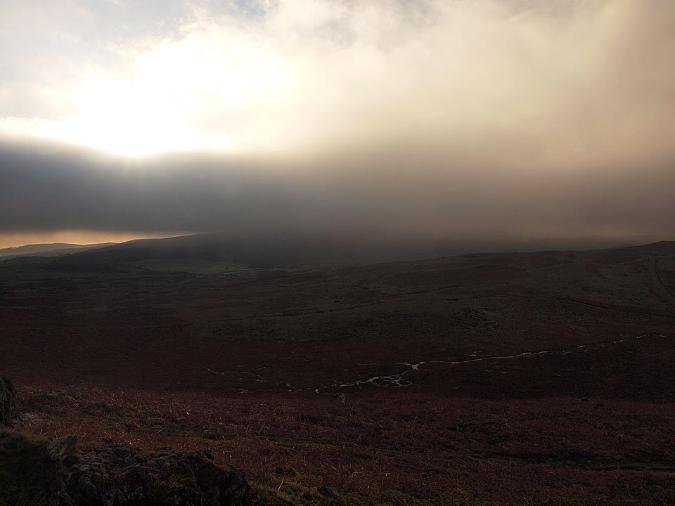
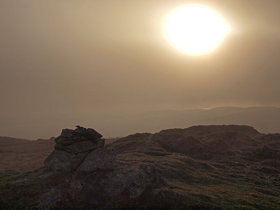
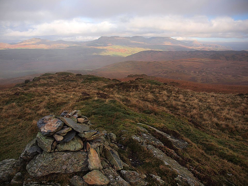
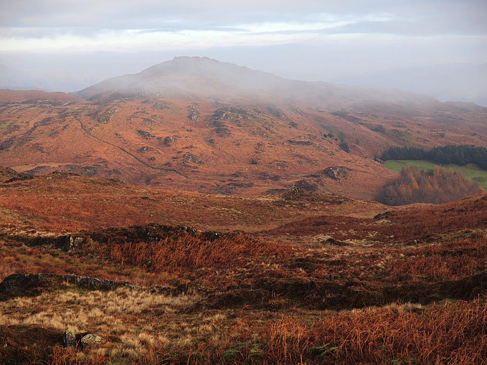
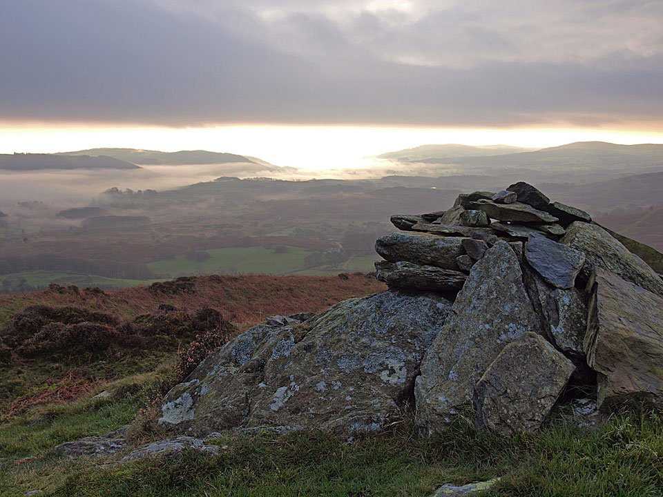
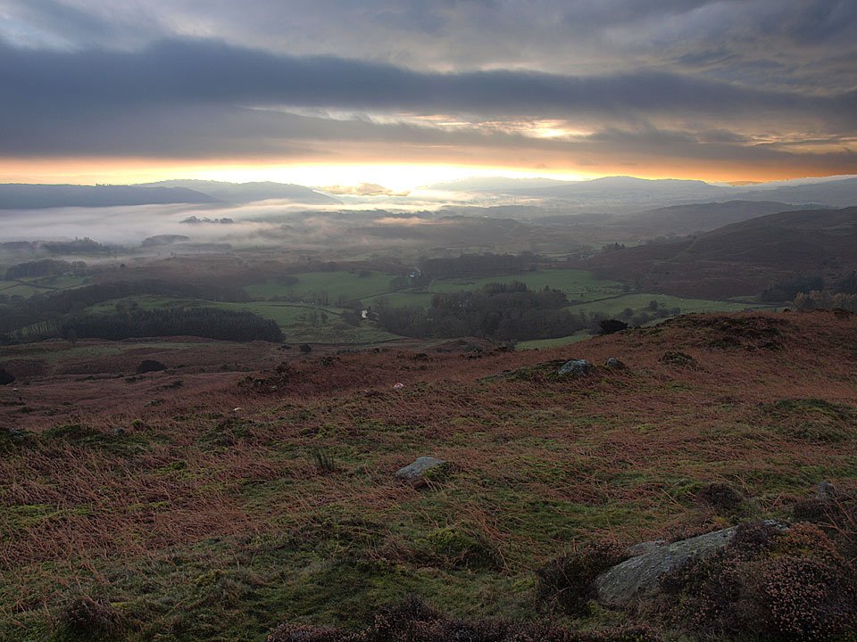
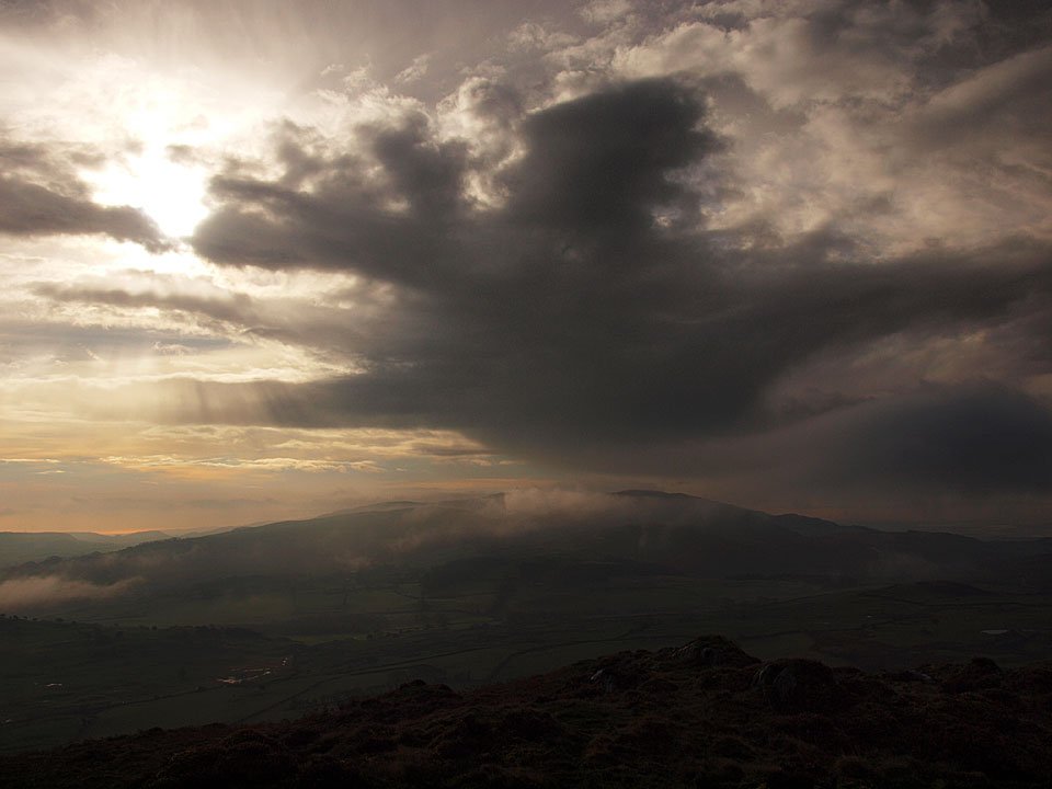
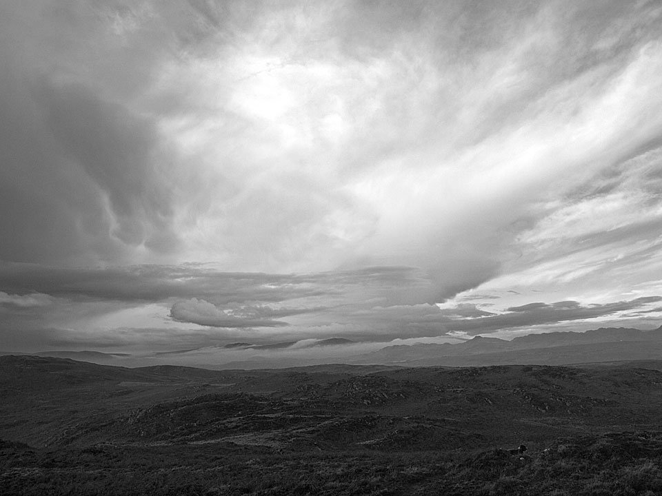
Dramatic sky, dramatic inversion from Slatestone Fell. Now there's an odd thing - it was absolutely chucking it down now and freezing cold but I didn't think you could get an inversion in those conditions.

