Striding Edge

A photo diary of Lake District fell walks

  • Walks
  • Fells
    • Wainwrights
      • Eastern Fells
      • Far Eastern Fells
      • Central Fells
      • Southern Fells
      • Northern Fells
      • North Western Fells
      • Western Fells
      • Outlying Fells
    • Birketts
  • Dogs
  • Love The Lakes
  • Contact

Lake District flood

Walked on 20/11/2009

The Lake District floods

Today was more than just an ordinary journey to our Love the Lakes shop in Bowness, it was quite difficult just getting there after all the rain over the last day or two which made some of the roads only passable with care and some large tailbacks. The south Lakes certainly didn’t get as much rain as seen in Cockermouth and Keswick but it certainly got a lot more than usual. Last year during the floods in October it was said that it was the highest Windermere has been in living memory and that we would never see it like that again. This year, however, it was even worse. The following photos were simply taken at stops during our journey today.
20.11.09-012

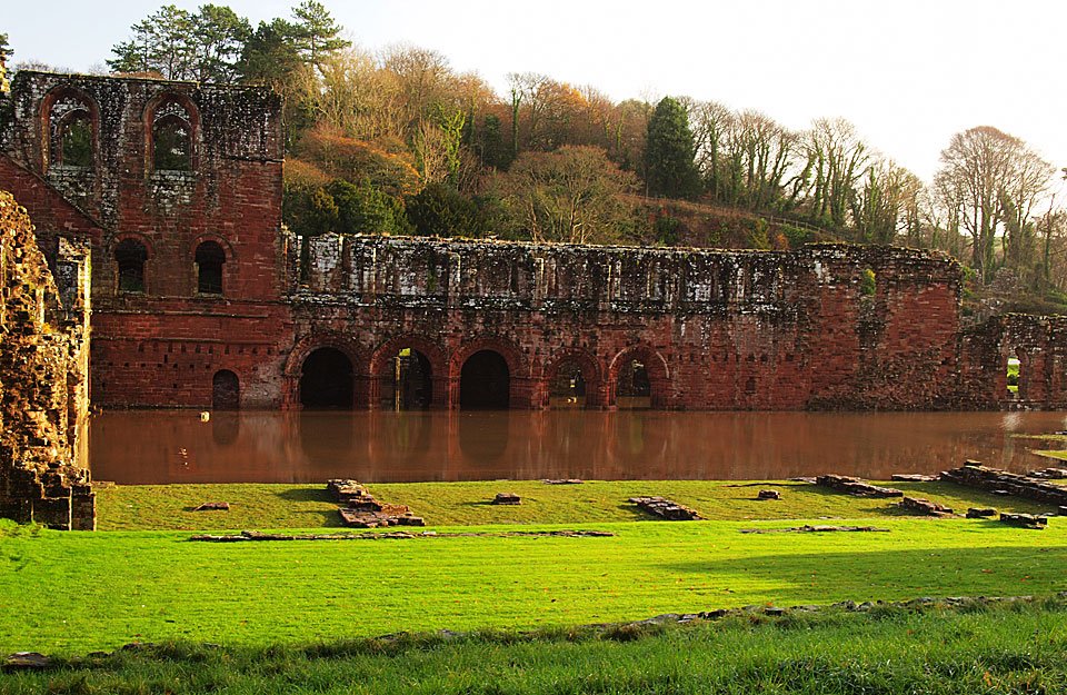
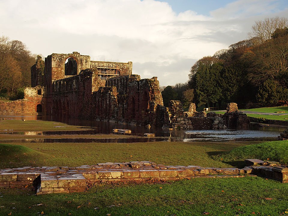
The ruins of Furness Abbey under water.

20.11.09-017

Sunshine and floods at Furness Abbey. The roads around Ulverston were blocked this morning so we had to take a circuitous route to get to our Love the Lakes shop in Bowness.
20.11.09-022

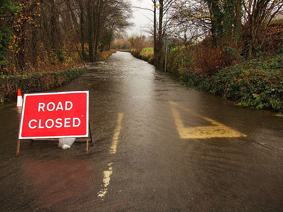
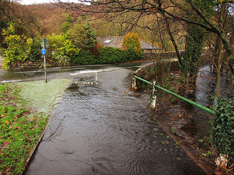
This is the road up the east side of Coniston Water from Lowick Bridge, now it is a river.

20.11.09-024

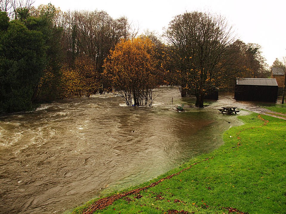
The swollen River Crake.

20.11.09-027

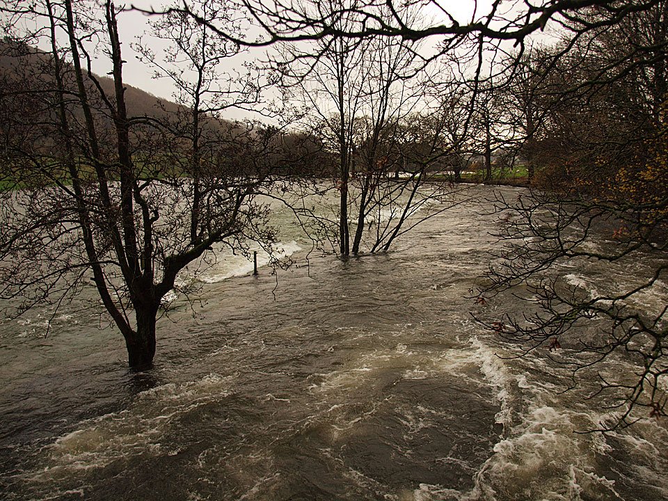
Looking downstream from Lowick Bridge, the trees on the left show the normal line of the river.

20.11.09-031

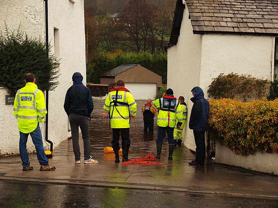
Further downstream at Spark Bridge, the houses with river frontage are under water and people are being rescued by the coastguard and police.
20.11.09-035

Flooded houses at Spark Bridge.

20.11.09-040

The River Crake downstream of Spark Bridge. Further on our journey at Newby Bridge there were big tailbacks on the main A590.
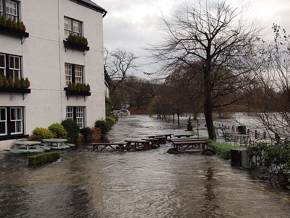
20.11.09-043

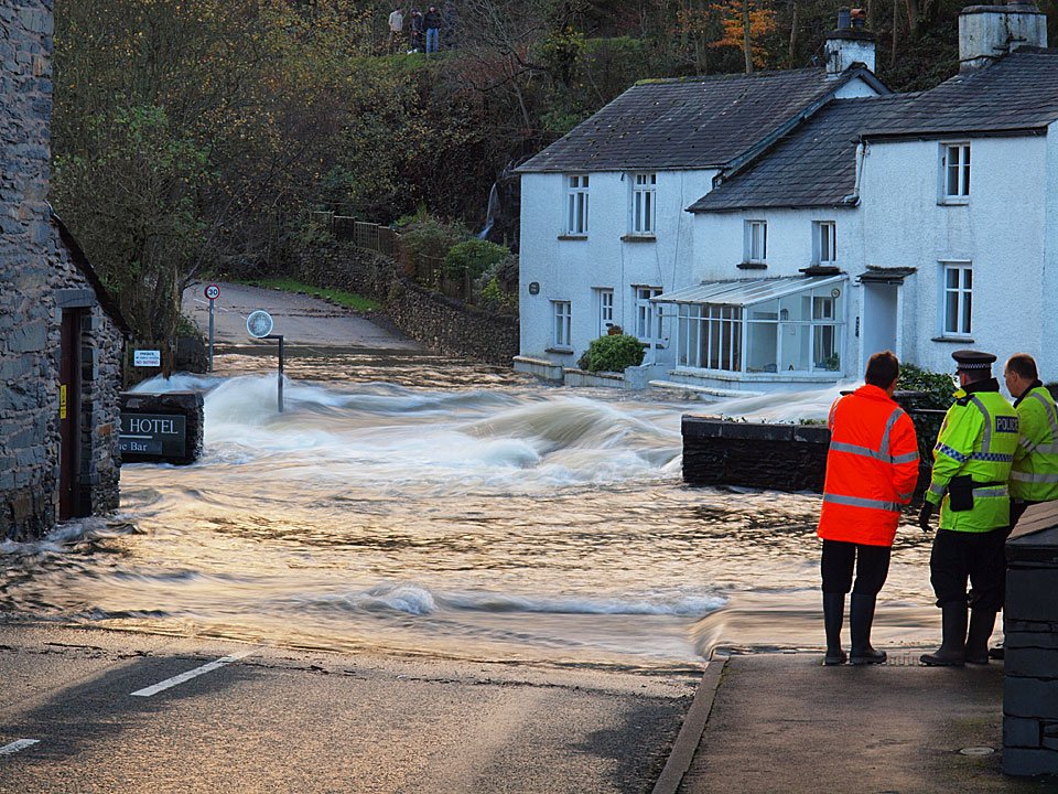
The River Leven has burst its banks and is overflowing Newby Bridge.

20.11.09-046

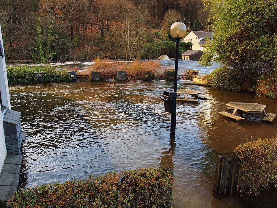
The Swan Hotel - normally this is a nice place to sit out alongside the river. The centre part is a road and the tables and chairs are normally between the line of trees and the line of bollards to the right.
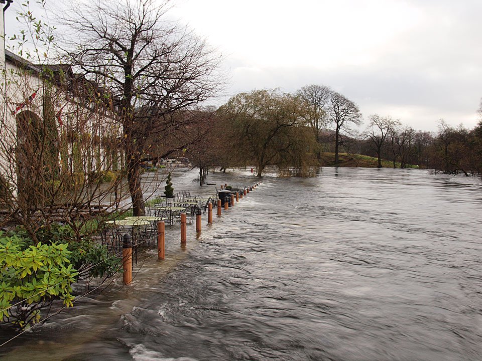
20.11.09-054

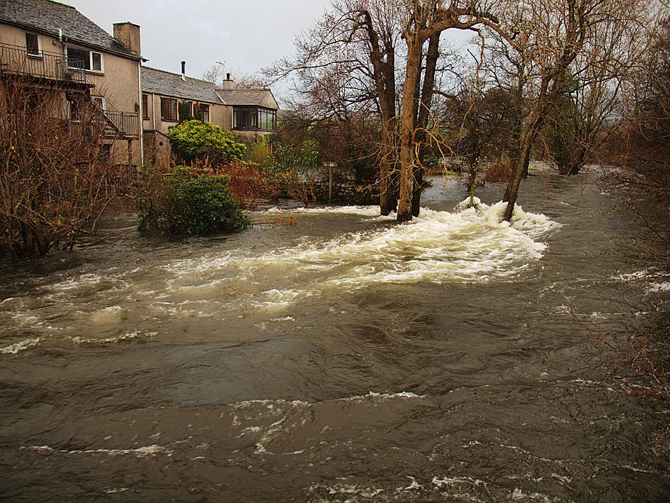
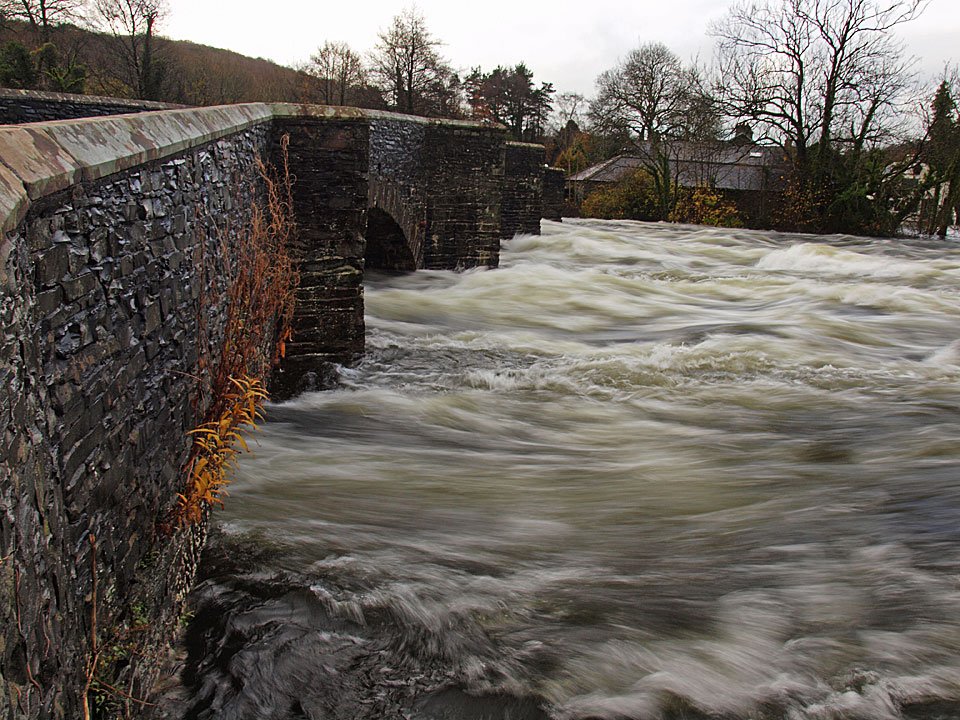
Newby Bridge and the extremely fast flowing River Leven.

20.11.09-055

The usual line of the river bank is where the bollards are and some tables and chairs have survived.
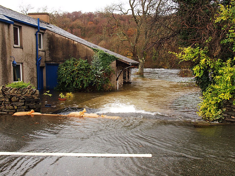
20.11.09-064

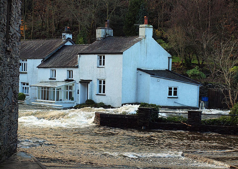
A house on the banks of the River Leven next to Newby Bridge. It was an interesting journey along from Newby Bridge to Bowness but we made it okay in the end. The level of the lake was, unbelievably, higher than last year.
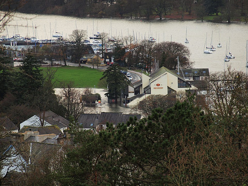
20.11.09-066

Boats for hire at Bowness.

20.11.09-068

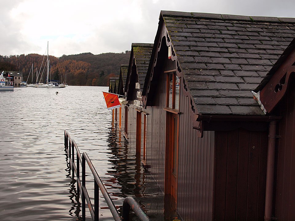
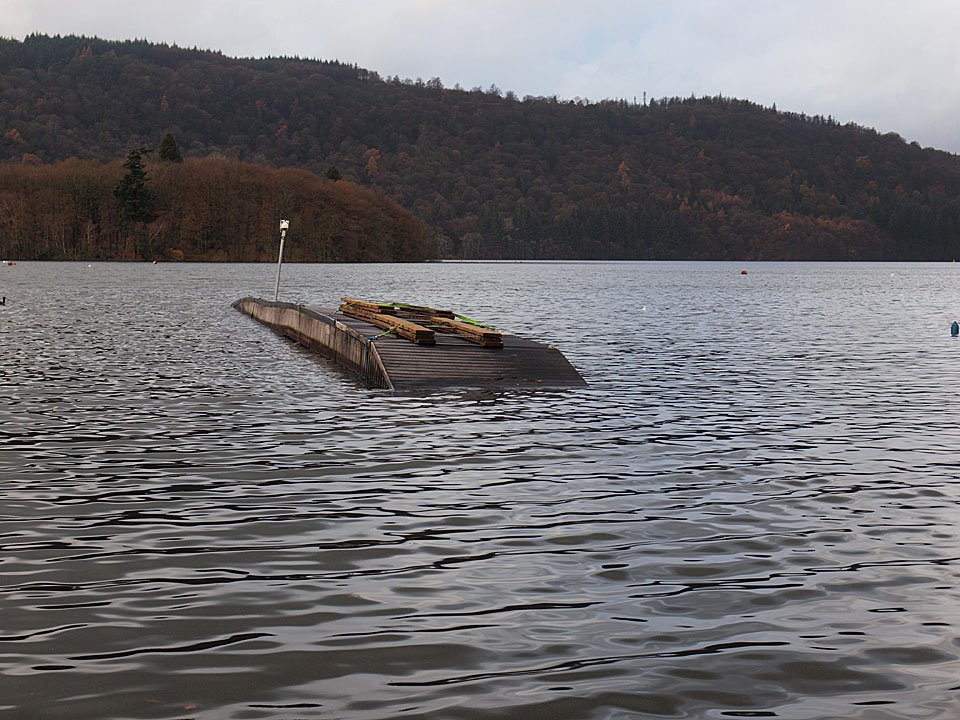
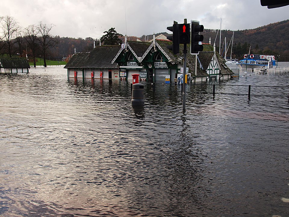
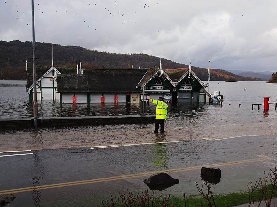
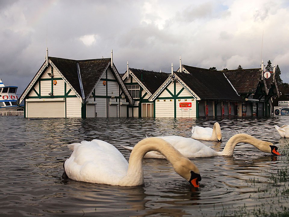
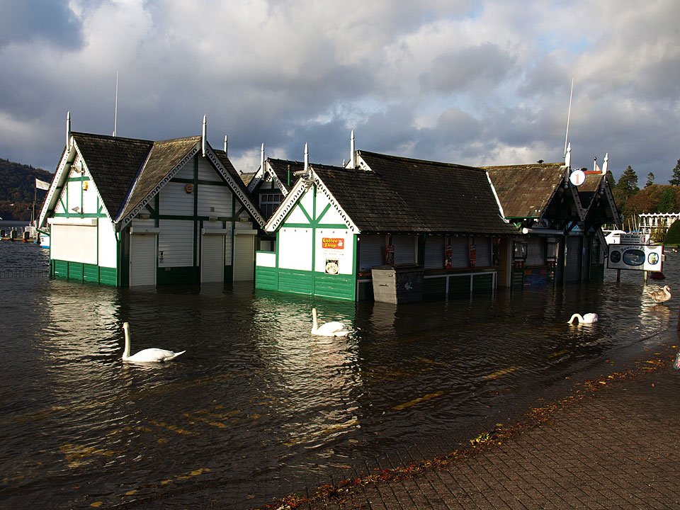
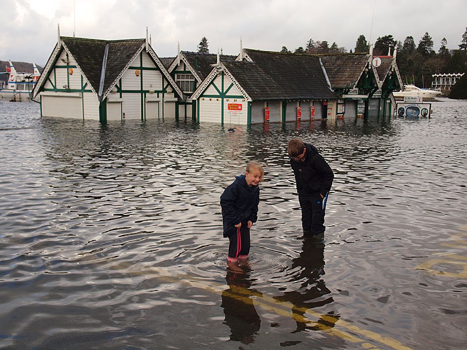
The jetties and ticket offices are all submerged.

20.11.09-070

I think this jetty is broken!

20.11.09-076

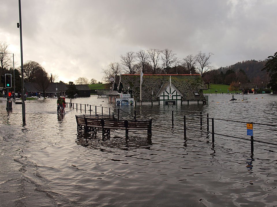
That's one way to beat the floods - on a bicycle.

20.11.09-078

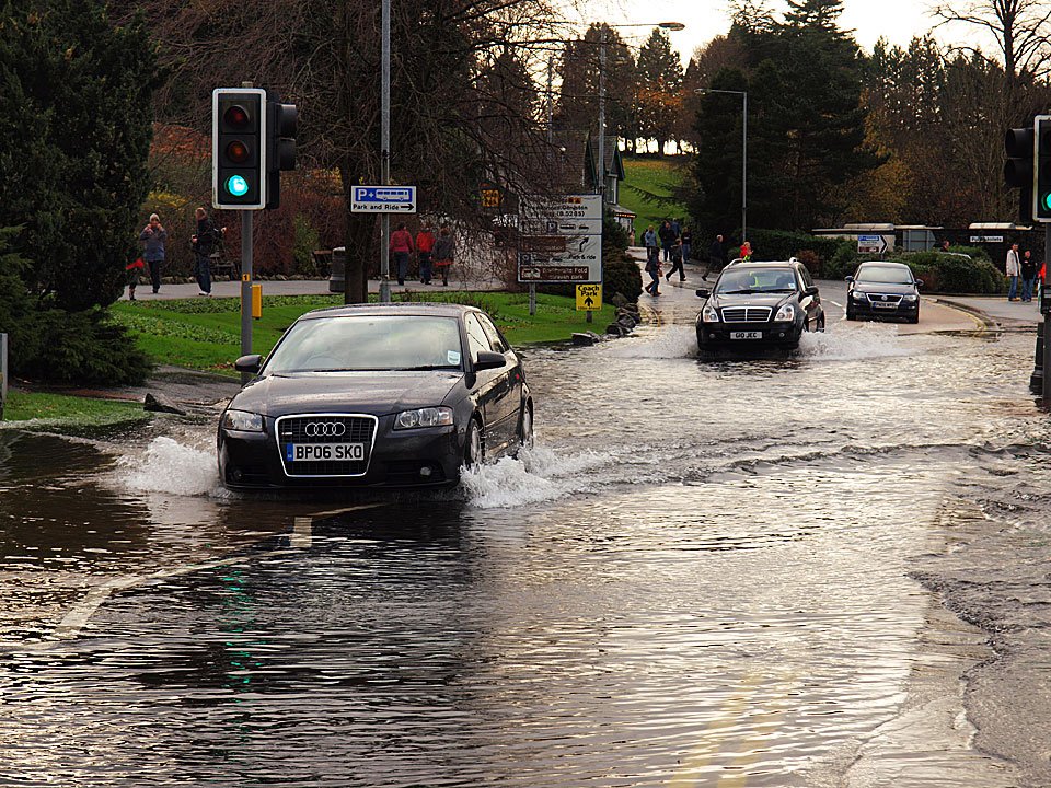
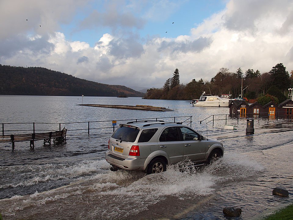
Tackling the floods by car.

20.11.09-080

No sailings today.

20.11.09-082

Holding back the tide.

20.11.09-085

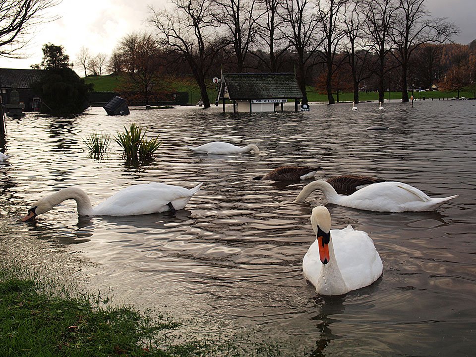
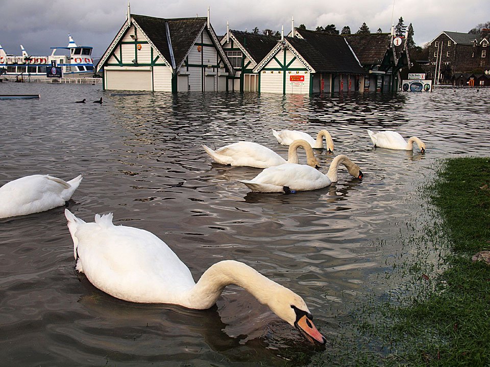
The swans have a bit more lake to swim in today.

20.11.09-088

They are happily feeding on newly submerged grass and plants.

20.11.09-091

26.10.08-171

This photo was taken last year for comparison - a good 3 foot deeper this year I think.

20.11.09-097

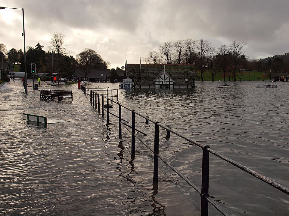
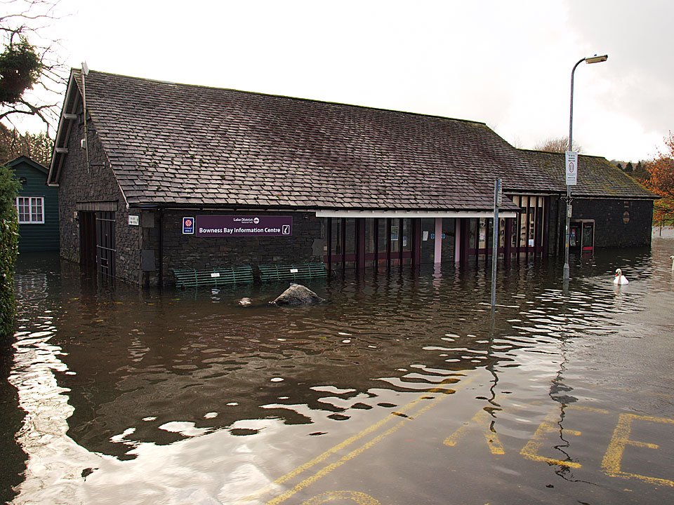
The newly refurbished Tourist Information Centre, sadly it will require another refit now.

20.11.09-101

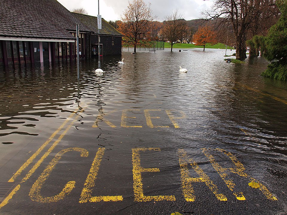
Keep Clear, swans about.

20.11.09-115

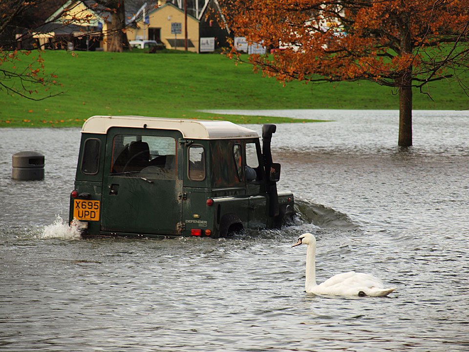
Someone was braving it today...and a Land Rover went through the flood as well!

20.11.09-122

Seeing how far out wellie level is.

20.11.09-126

A glimmer of blue sky seems promising and a much better prospect than more rain.

20.11.09-132

A birds eye view of the flood looking down to The Glebe from Biskey Howe. Later, on the journey home...
20.11.09-136

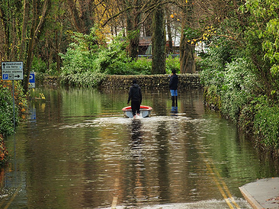
This is the road to the car ferry across Windermere but today you need a boat to get to it.

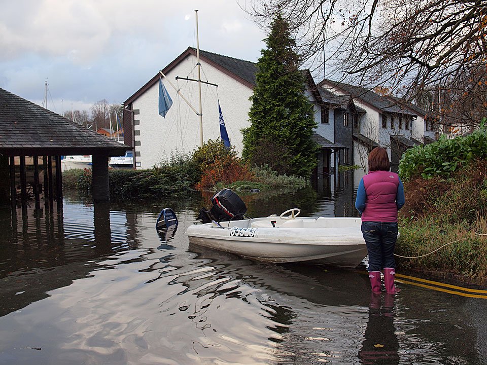
20.11.09-144

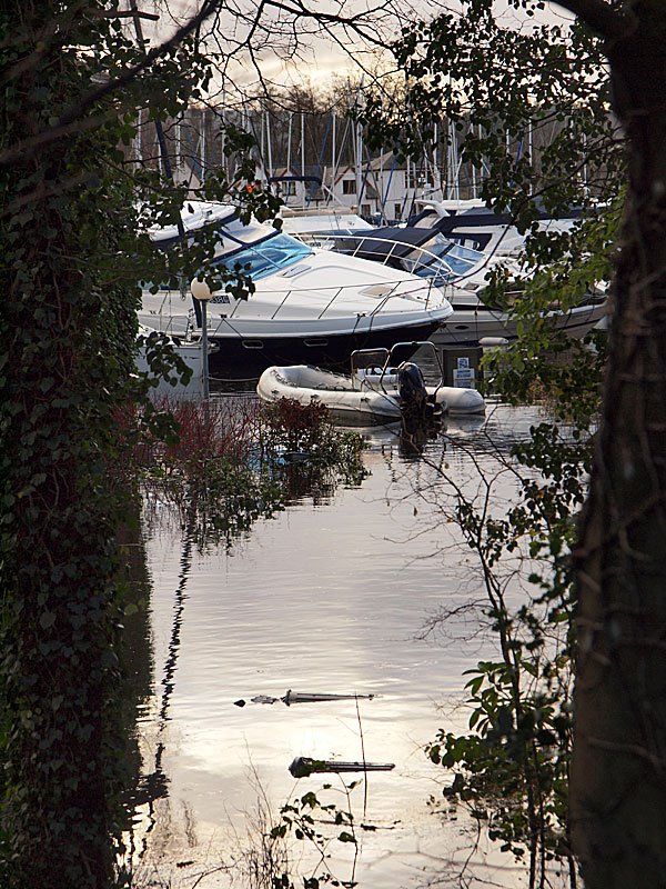
Boats at the marina at a bit of an angle.

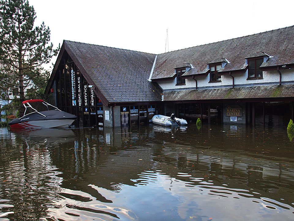
20.11.09-146

The marina is under water.

20.11.09-153

The Marina Centre.

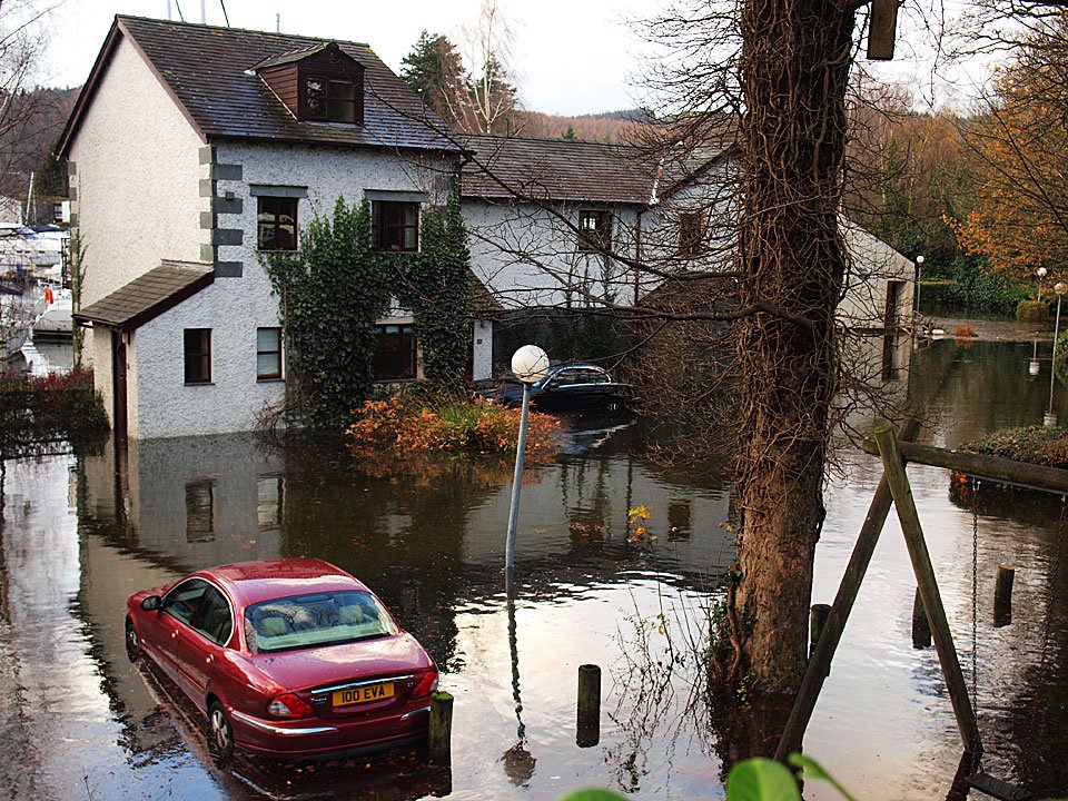
20.11.09-155

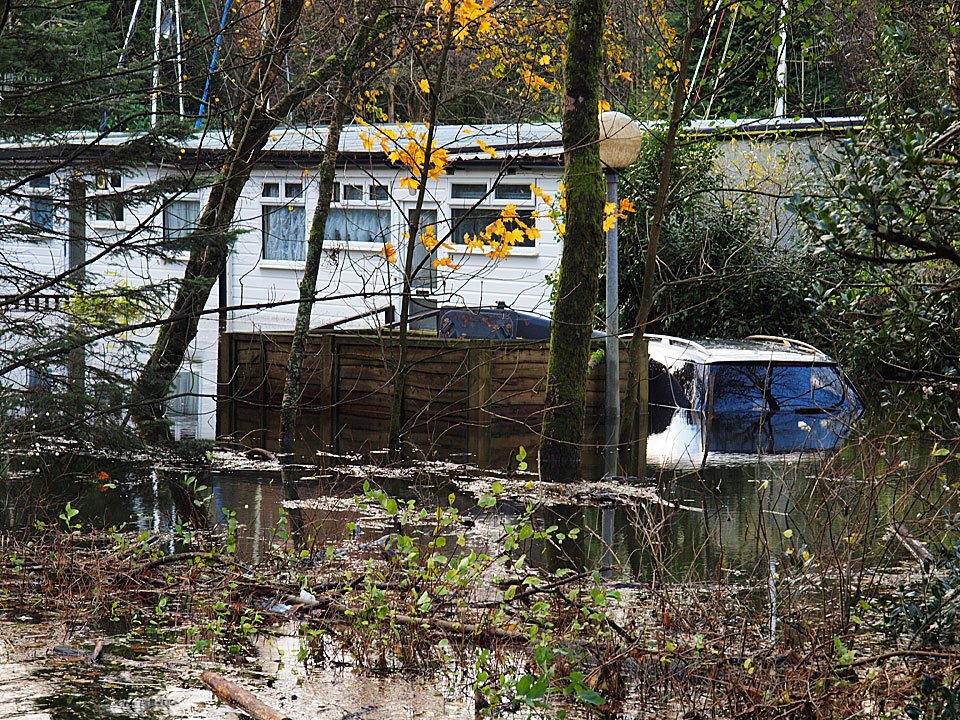
Flooded cottages.

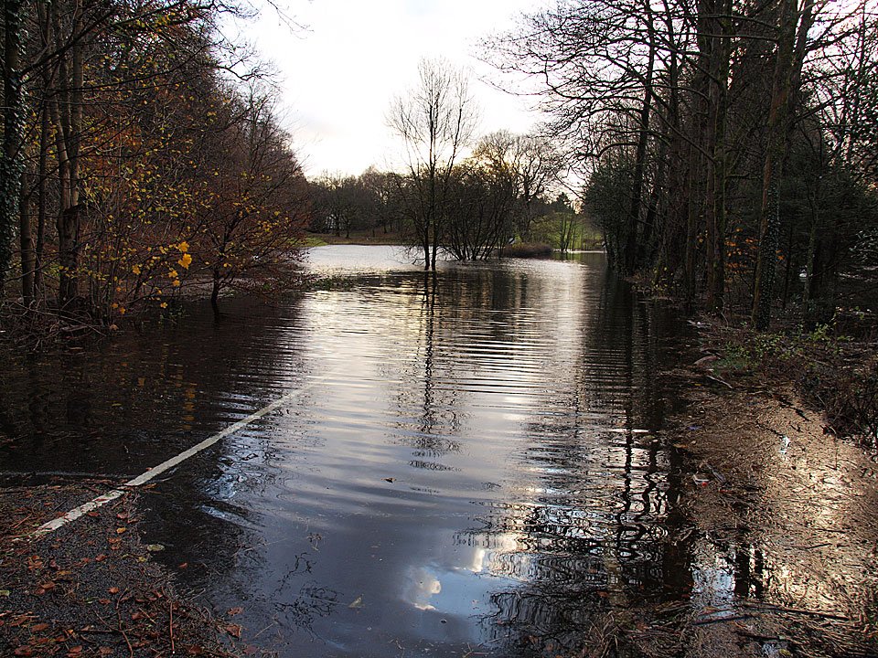
20.11.09-160

The main A592 road to Newby Bridge.

20.11.09-166

This car is going nowhere.

20.11.09-170

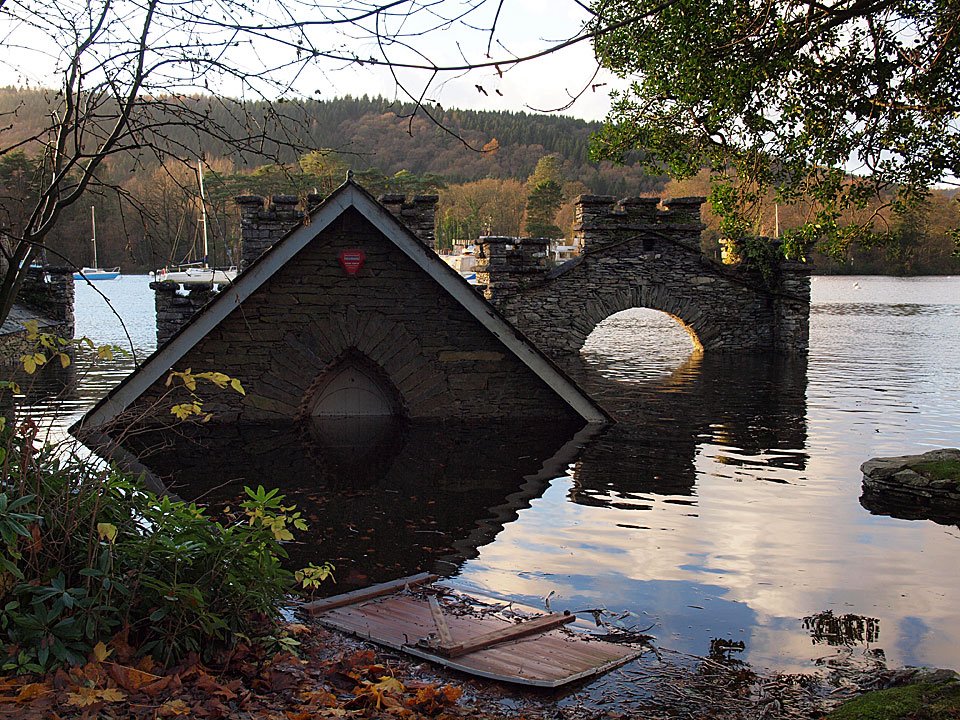
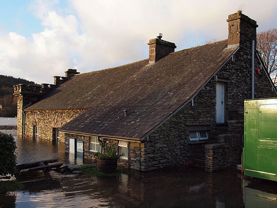
Down at Fell Foot, the cafe was refurbished after last years flood but will also need doing again now.
20.11.09-171

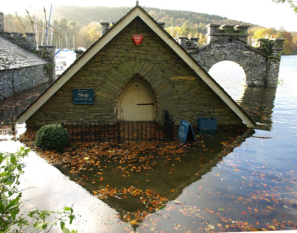
The National Trust shop, 2009 flood...

26.10.08-214

...and the same shop, 2008 flood. It is about 2 foot deeper here this year I think.

20.11.09-178

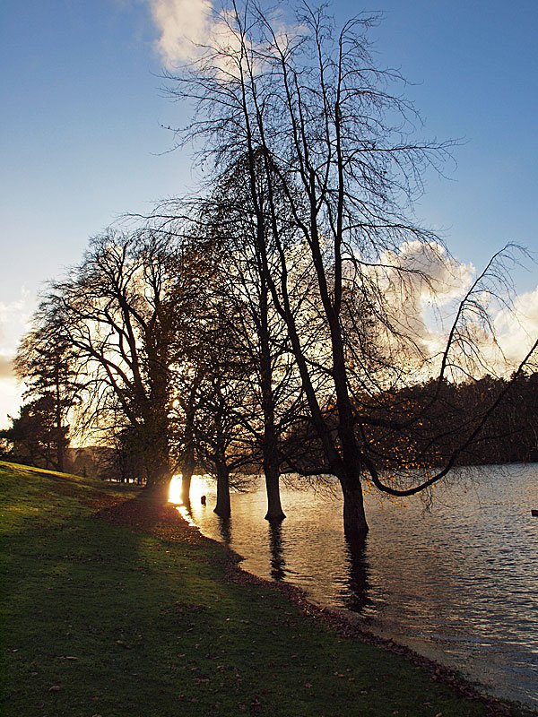
Fell Foot sunset.

20.11.09-179

Wading out to the NT shop.

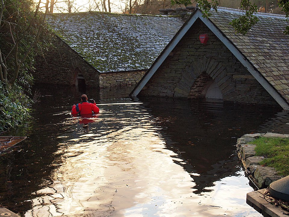
20.11.09-189

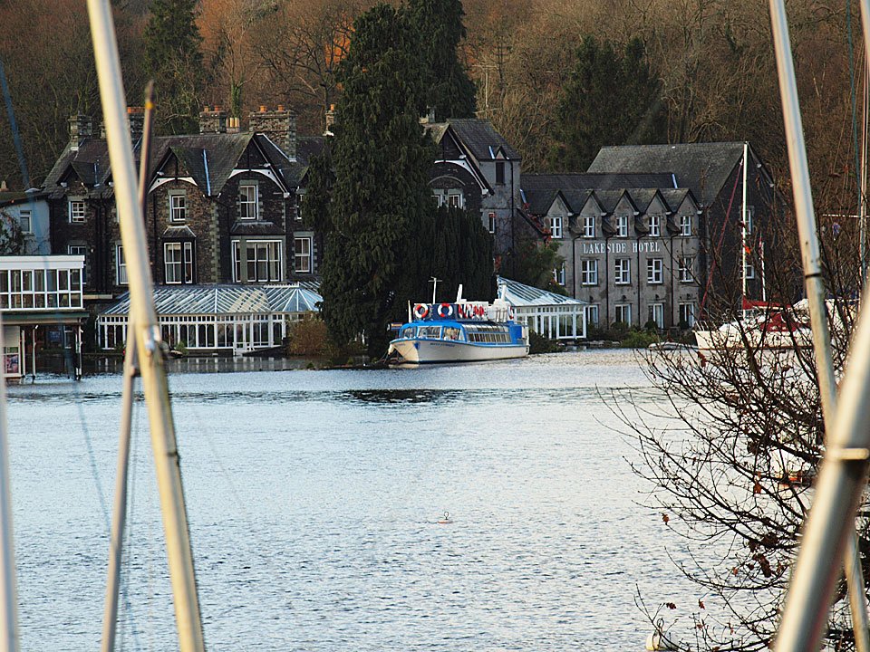
Across Windermere, the Lakeside Hotel is flooded too and the ferry looks like it has smashed into that tree. Backbarrow on the way home...
20.11.09-195

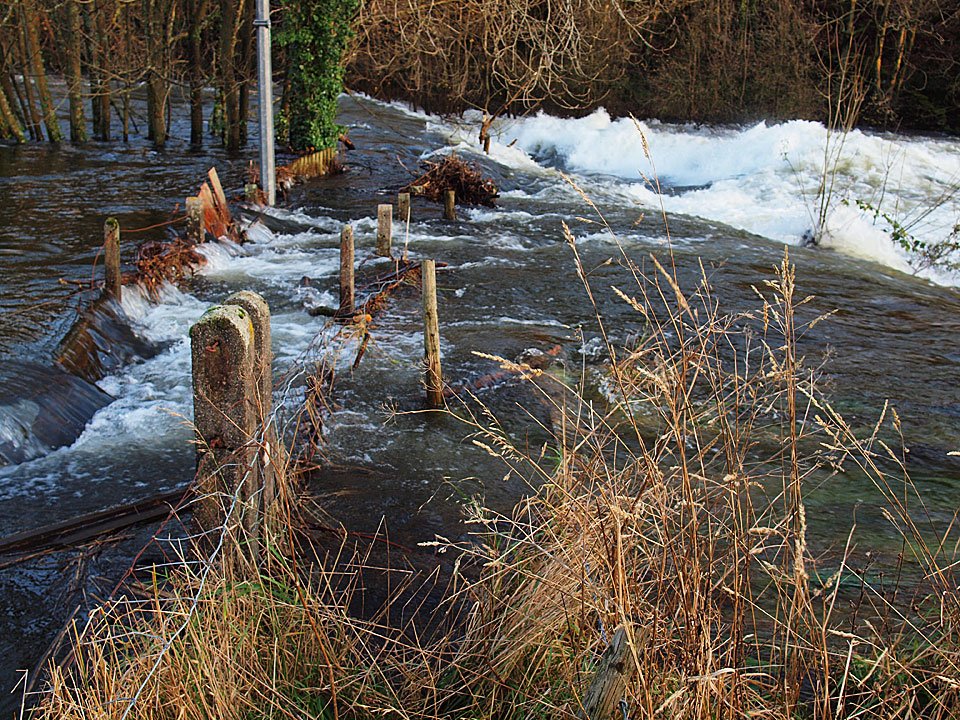
The River Leven has breached the bridge and road at Backbarrow.

20.11.09-209

The bridge wall collapse can be seen in this photo.

20.11.09-223

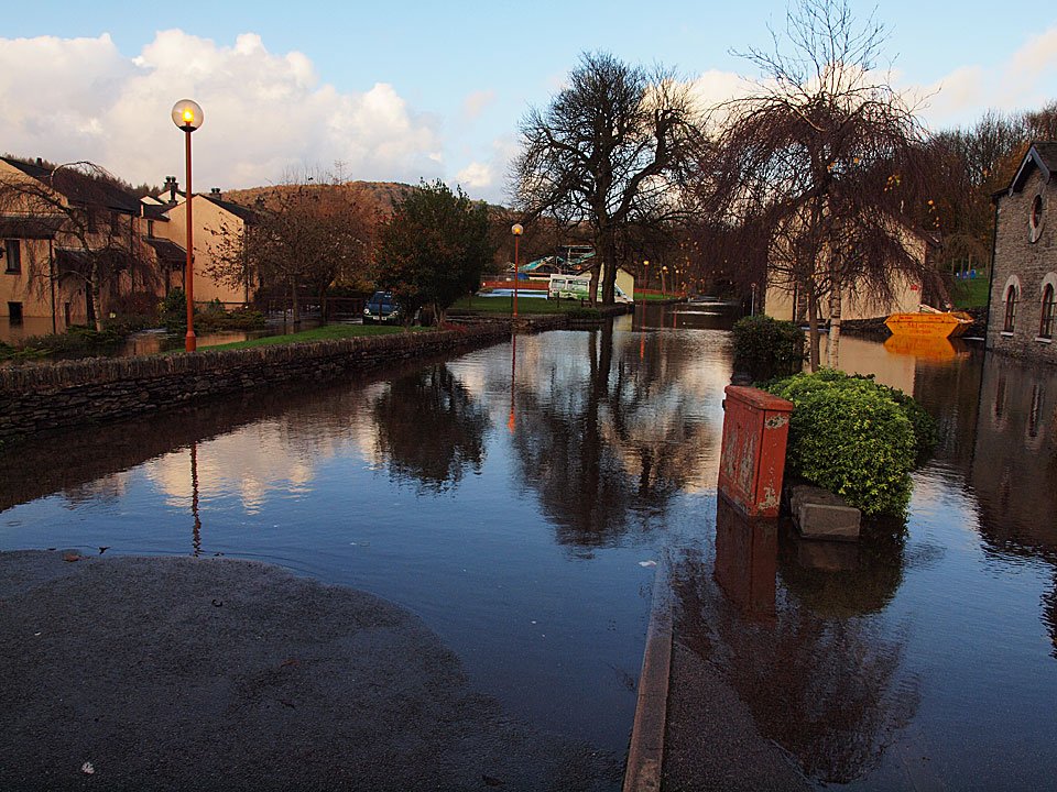
Flooded gardens in Backbarrow.

20.11.09-230

20.11.09-231

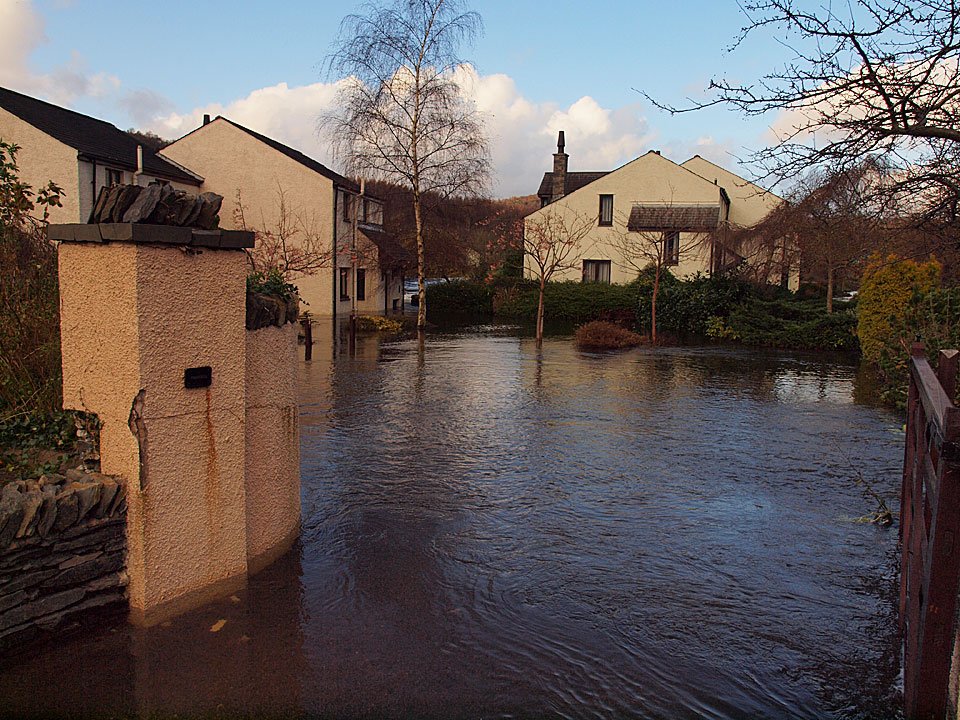
The roads are impassable here.

20.11.09-245

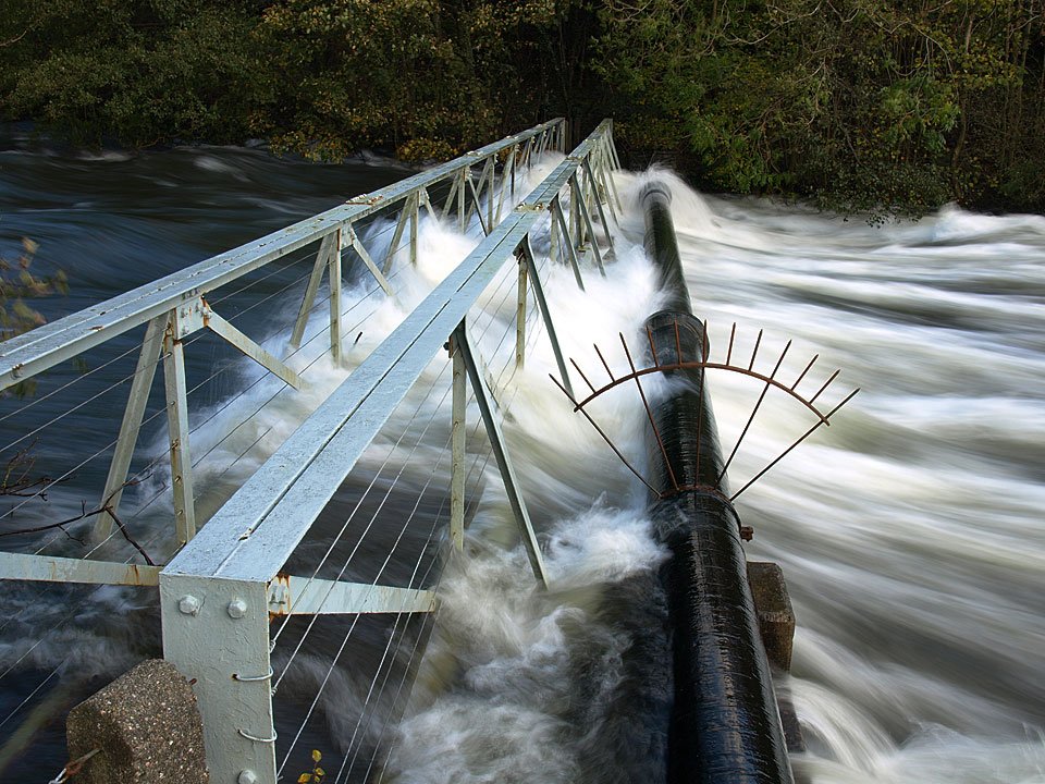
The footbridge across the River Leven...

26.10.08-266

...last year it was more visible.

20.11.09-255

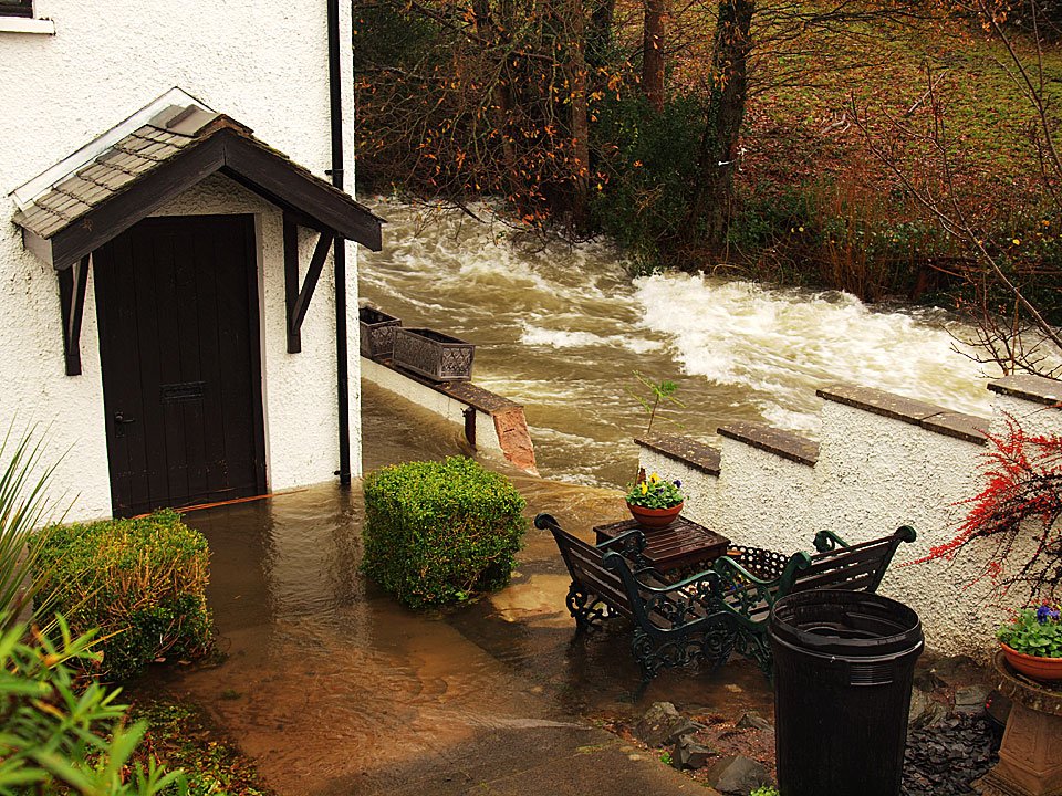
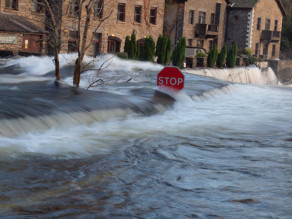
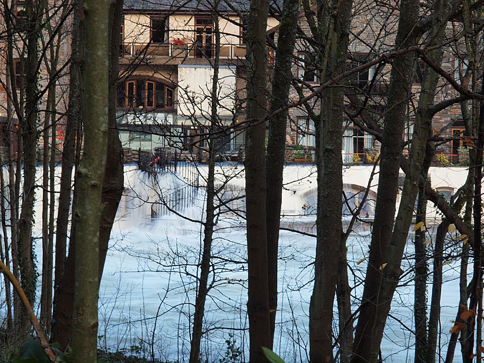
Through the trees you can just make out the line of the patio at the Whitewater Hotel, today with water gushing over it.
20.11.09-257

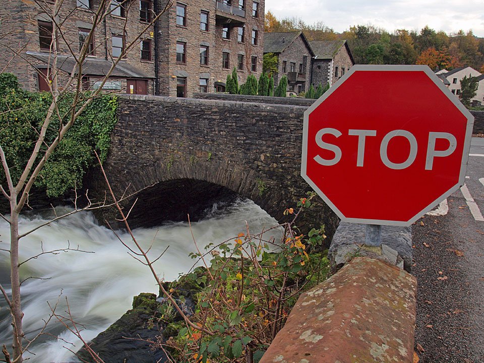
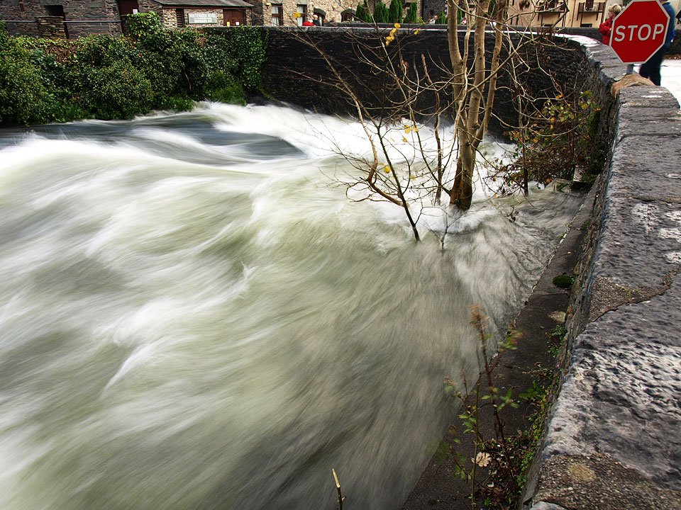
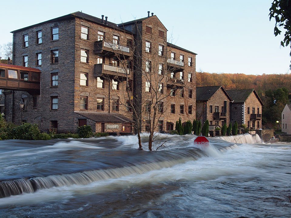
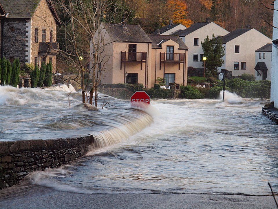
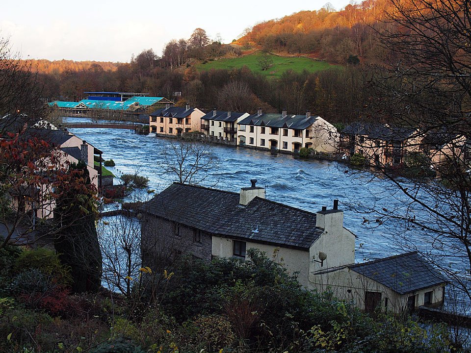
The River Leven through Backbarrow. To see how full the River Leven is, compare the following photos and note the prominent 'Stop' sign:

29.10.09-003

The normal level...

26.10.08-251

...the level during last years flood...

20.11.09-284

...blimey, the level today. © www.stridingedge.net

20.11.09-288

The water is right over the bridge and across the road the water is flowing from the Whitewater Hotel. © www.stridingedge.net

20.11.09-294

There is no way through here now. © www.stridingedge.net Please credit www.stridingedge.net if you use any photos on this site or contact me for hi-res versions.

Share this…


  • Facebook


  • Twitter


  • Messenger


  • Whatsapp


  • Email

Previous walk Next walk

Walking Diary

  • The Mosedale Horseshoe 01/03/2022
  • Caw 18/01/2022
  • Coniston sunset 17/01/2022
  • Blencathra 15/01/2022
  • Scafell Pike 14/01/2022

Social

  • Facebook
  • Twitter

Information

  • Striding Edge
  • T&C’s
  • Privacy
  • Links