Striding Edge

A photo diary of Lake District fell walks

  • Walks
  • Fells
    • Wainwrights
      • Eastern Fells
      • Far Eastern Fells
      • Central Fells
      • Southern Fells
      • Northern Fells
      • North Western Fells
      • Western Fells
      • Outlying Fells
    • Birketts
  • Dogs
  • Love The Lakes
  • Contact

Sour Howes and Sallows

Walked on 27/11/2009

Start point: Troutbeck (NY 413 028)

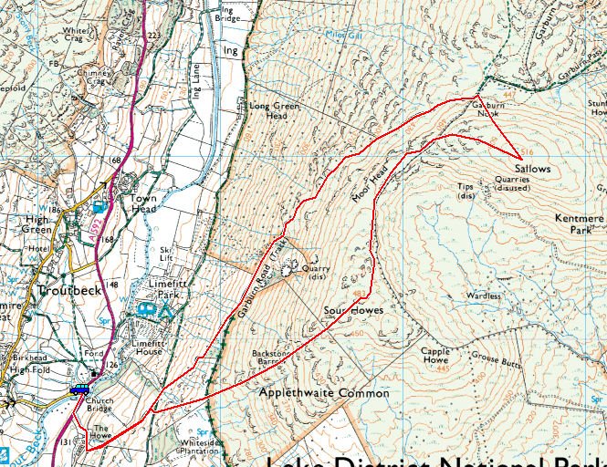
Troutbeck – Garburn Road – Sour Howes – Moor Head – Sallows – Garburn Road – Troutbeck

Distance: 4.7 miles     Total Ascent: 434 metres     Time Taken: 2 hours

Weather: Showers, clearing. 8oC

Hopefully, everything is returning to normal for most in the Lake District whilst further north at Cockermouth and Workington, things will take a little longer to straighten out. We walked a couple of the smaller Far Eastern fells today, Sour Howes and Sallows. We started the walk in the rain but surprisingly it brightened up towards the end of it and there was even a sprinkling of snow visible across on the western fells.
Sallows

Sallows route map.

27.11.09-001

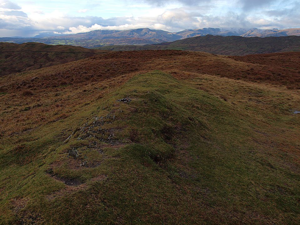
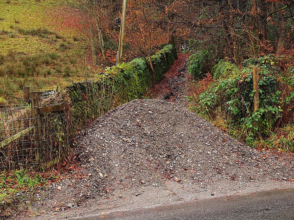
First we had to scale this new Lake District summit at the foot of the Garburn Road! This pile of shale was washed down from the track across the road last week. The Garburn Road was deeply rutted making going (especially in descent) a bit tricky at times.
27.11.09-010

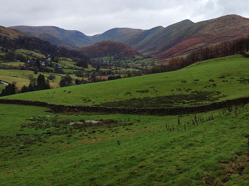
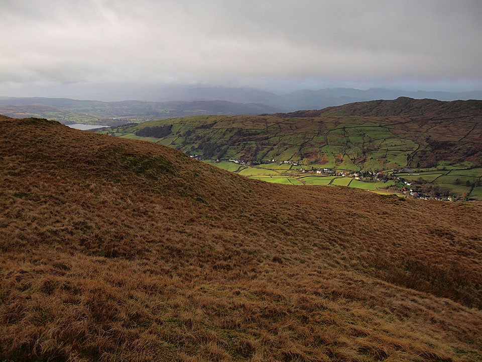
Troutbeck Park from the Garburn Road.

27.11.09-022

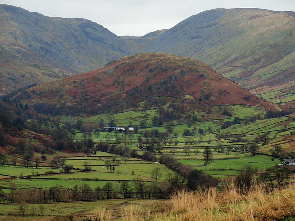
The Tongue.

27.11.09-037

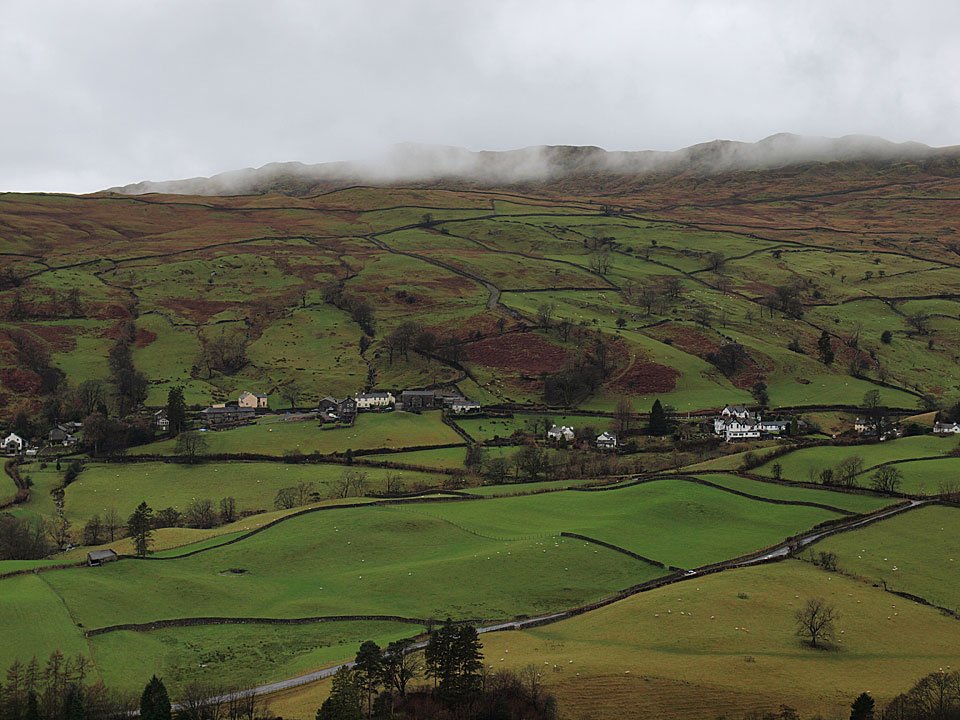
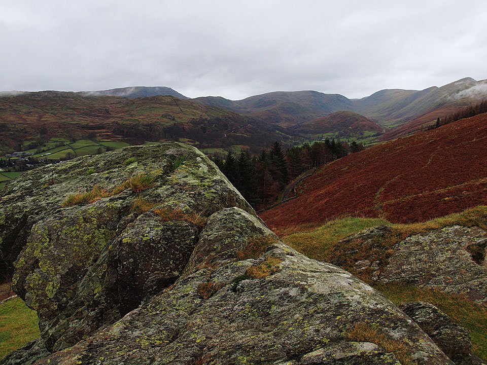
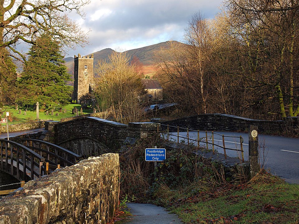
Looking across Troutbeck to a misty Wansfell.

27.11.09-055

Wansfell from Applethwaite Common.

27.11.09-056

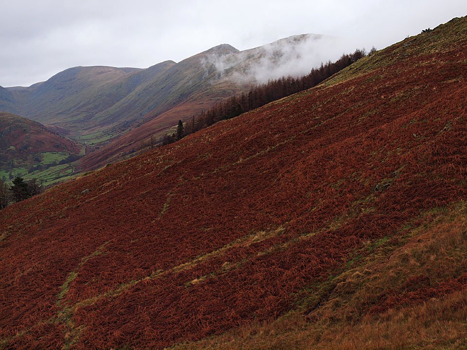
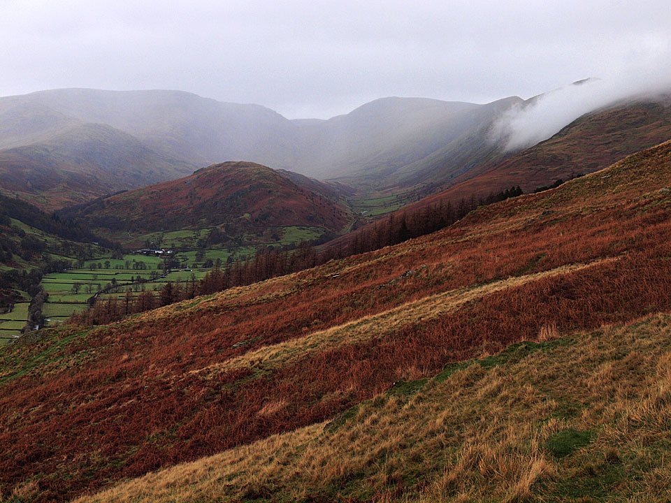
The head of Troutbeck Park from the climb to Sour Howes.

27.11.09-057

Sour Howes ahead.

27.11.09-067

It is all a bit drizzly at the moment.

27.11.09-070

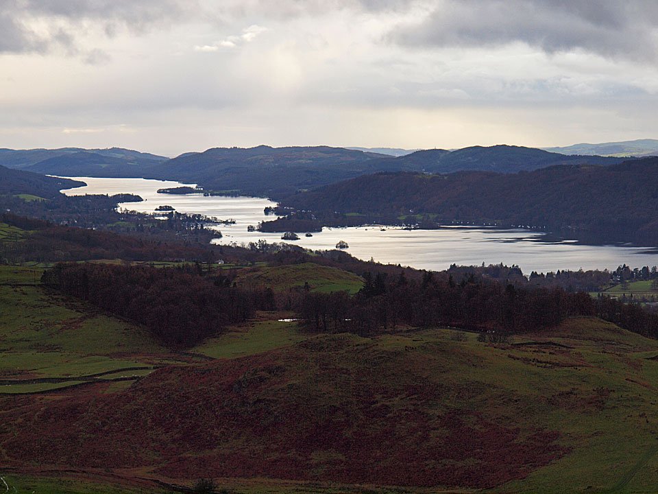
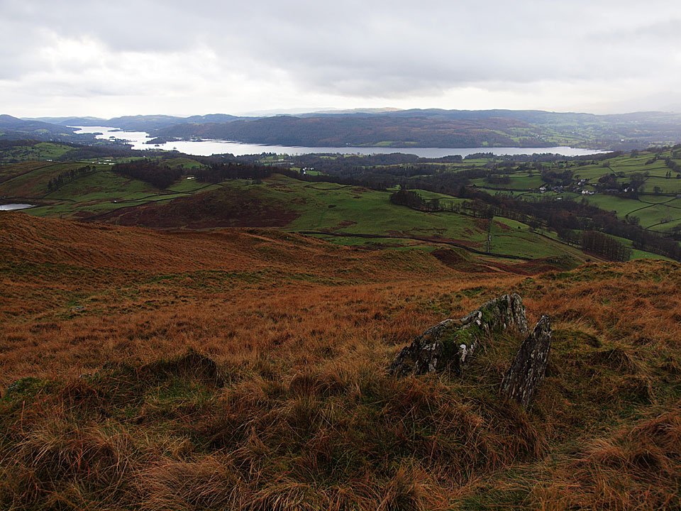
Windermere.

27.11.09-071

I think that shower is heading straight for me.

27.11.09-078

A panoramic view of Windermere.

27.11.09-100

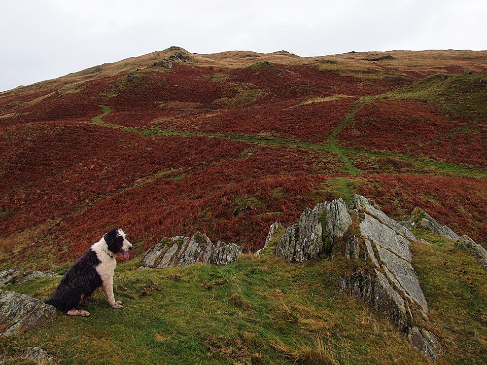
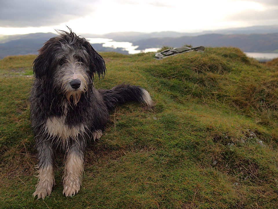
Damp Dougal on Sour Howes.

27.11.09-101

Miraculously, Troutbeck is bathed in sunshine below while beyond the ominous clouds are hanging over the western fells.

27.11.09-105

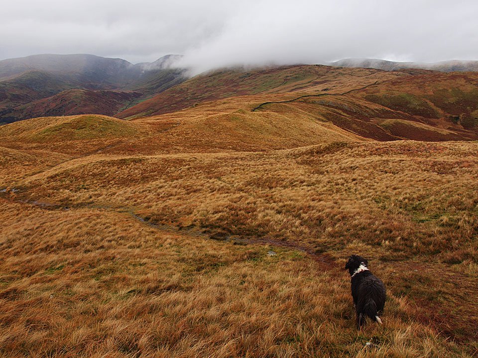
Dougal takes the lead on Moor Head.

27.11.09-108

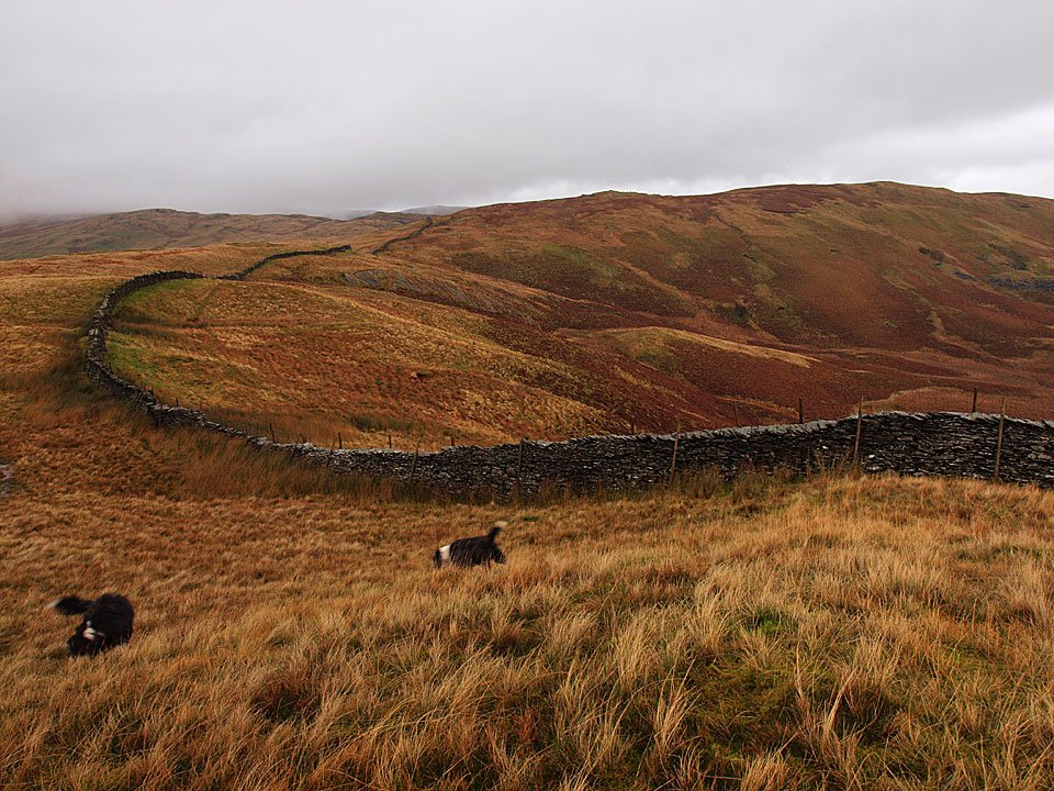
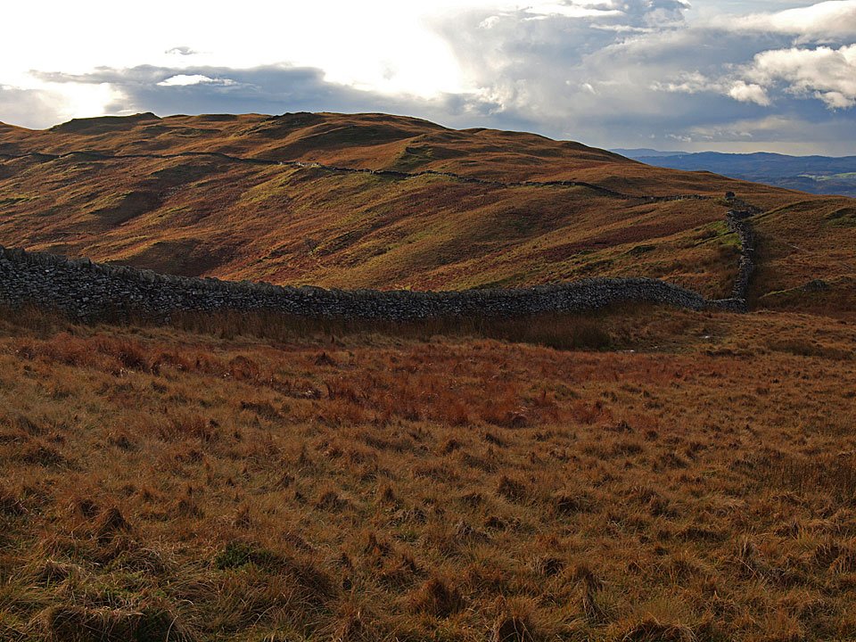
Following the wall to Sallows and it is raining heavily now.

27.11.09-111

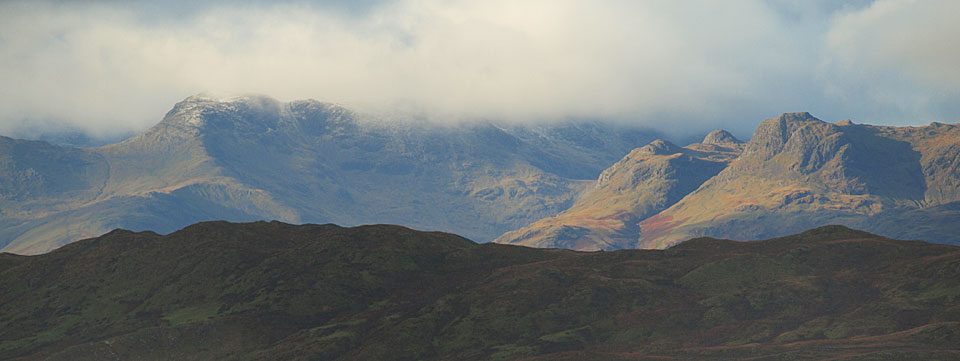
Over to the west though, there is sunshine with a fresh sprinkling of snow on Bowfell with the Langdale Pikes to the right.

27.11.09-115

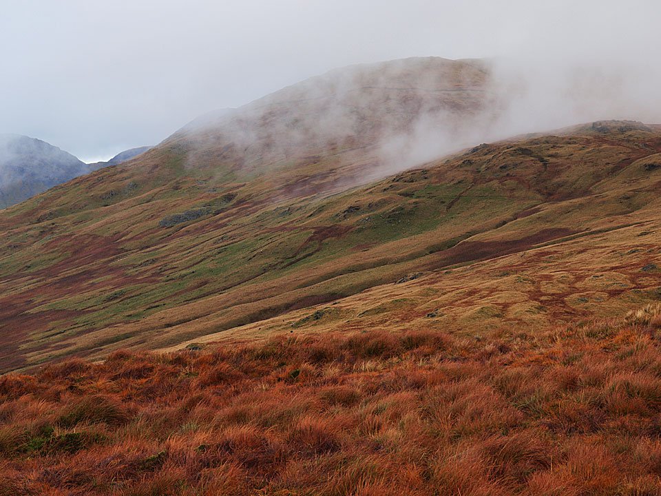
The cloud drifting across Yoke. Perhaps that sunshine will come this way.

27.11.09-131

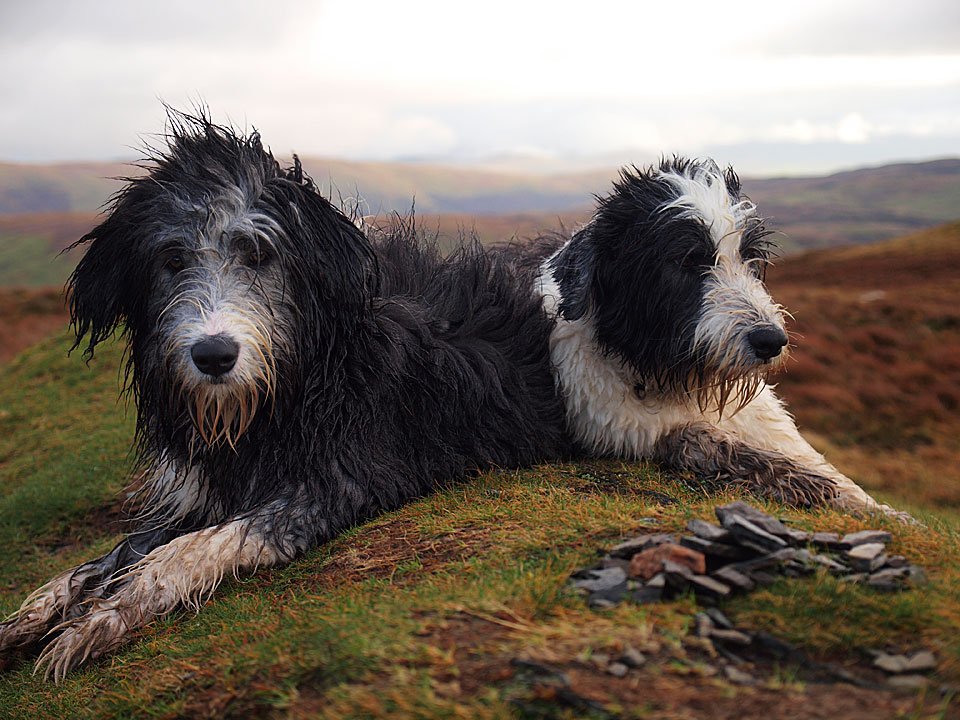
Dougal and Casper on Sallows.

27.11.09-134

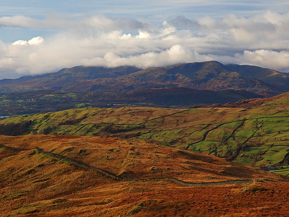
Looking towards Coniston from the summit mound of Sallows.

27.11.09-141

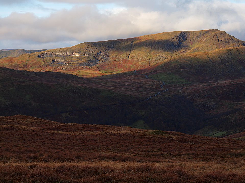
Red Screes and the ribbon of the Kirkstone Pass road below it.

27.11.09-149

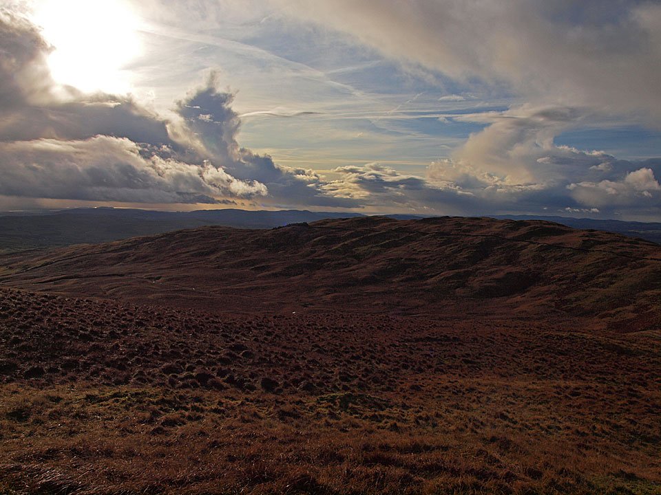
The skies are clearing over Sour Howes to the south now.

27.11.09-152

Sunshine and a clear view.

27.11.09-153

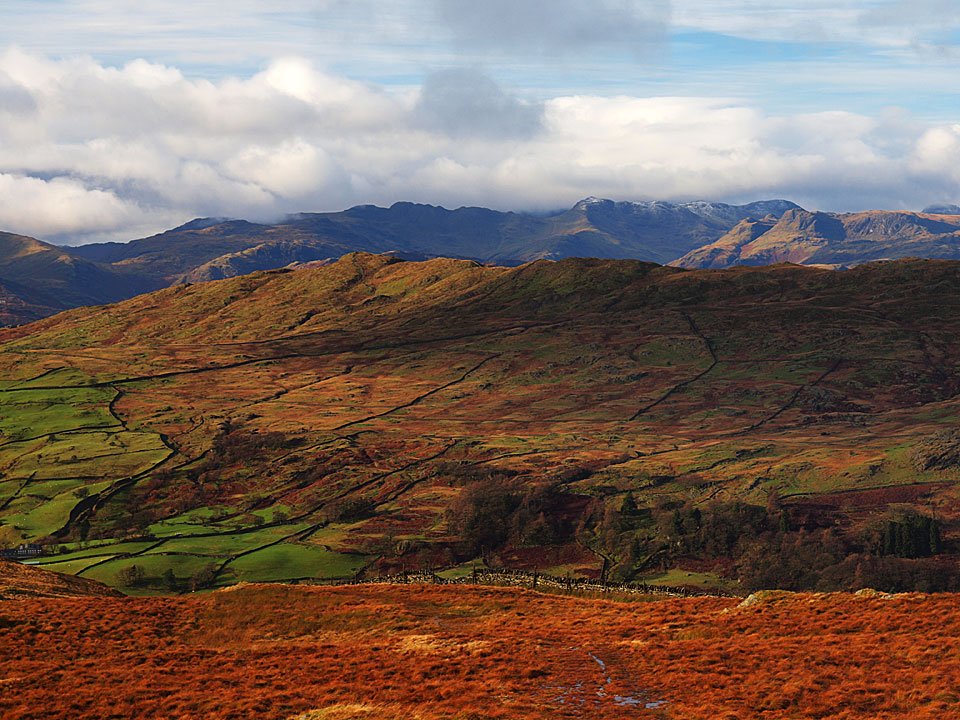
The Coniston fells.

27.11.09-154

Sour Howes.

27.11.09-156

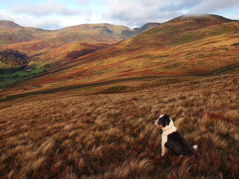
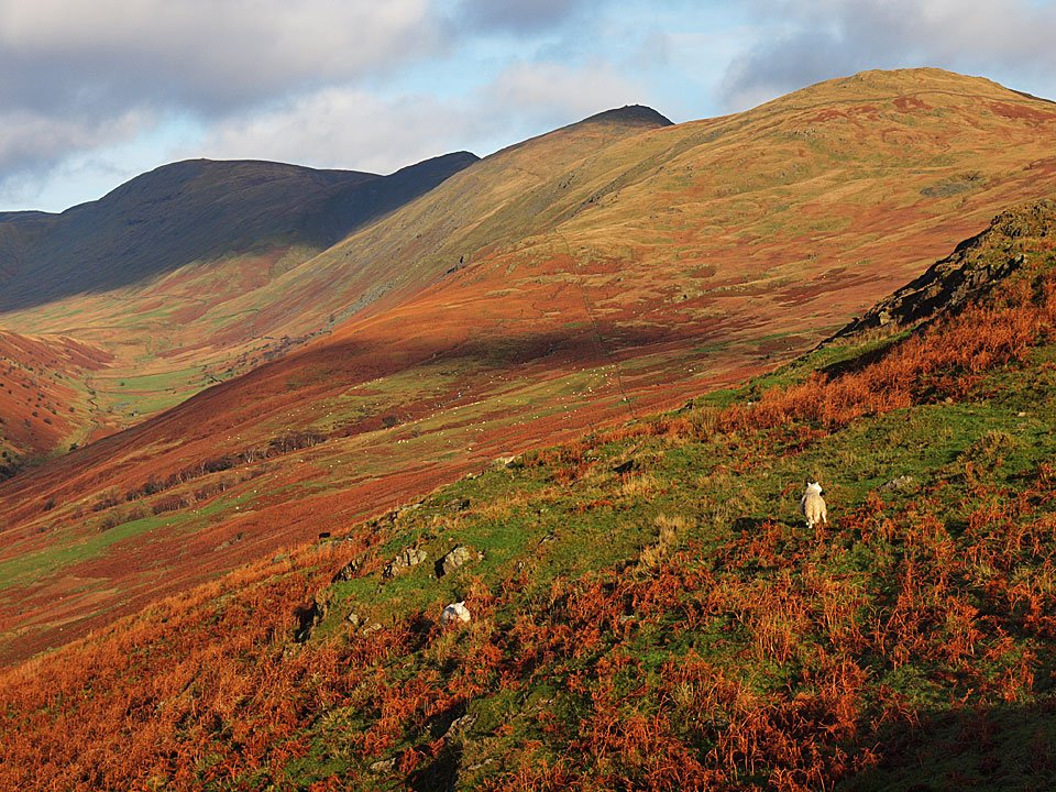
Casper takes in the view from the descent back to the Garburn Road.

27.11.09-158

Red Screes, Caudale Moor and Dougal.

27.11.09-181

Thornthwaite Crag, Froswick, Ill Bell and Yoke.

27.11.09-188

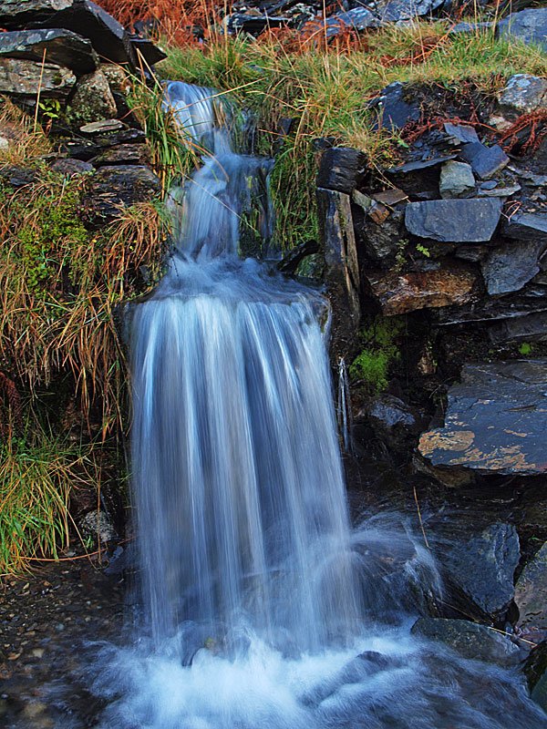
Water spout on the way down.

27.11.09-191

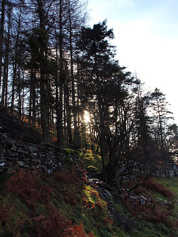
Sunshine through the trees in the old quarry.

27.11.09-193

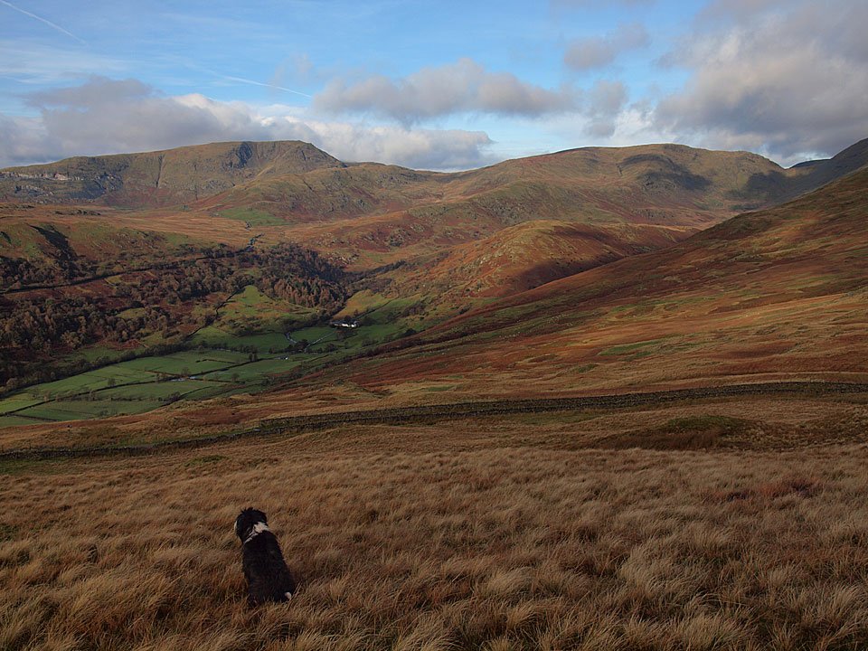
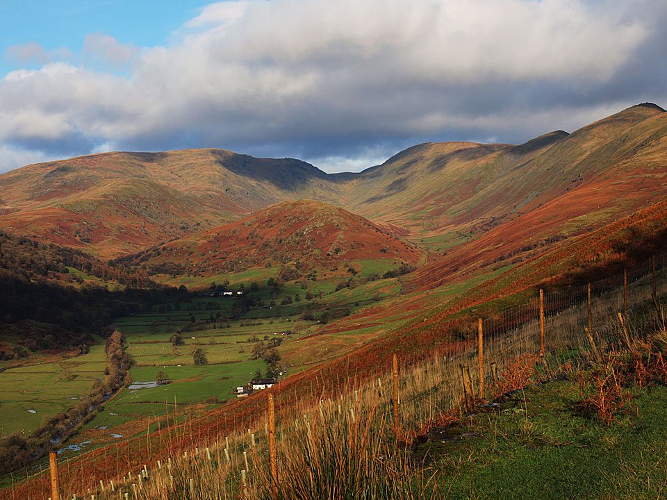
Troutbeck Park, a clearer view than at the start of the walk.

27.11.09-200

Back to Troutbeck.

Share this…


  • Facebook


  • Twitter


  • Messenger


  • Whatsapp


  • Email

Previous walk Next walk

Walking Diary

  • The Mosedale Horseshoe 01/03/2022
  • Caw 18/01/2022
  • Coniston sunset 17/01/2022
  • Blencathra 15/01/2022
  • Scafell Pike 14/01/2022

Social

  • Facebook
  • Twitter

Information

  • Striding Edge
  • T&C’s
  • Privacy
  • Links