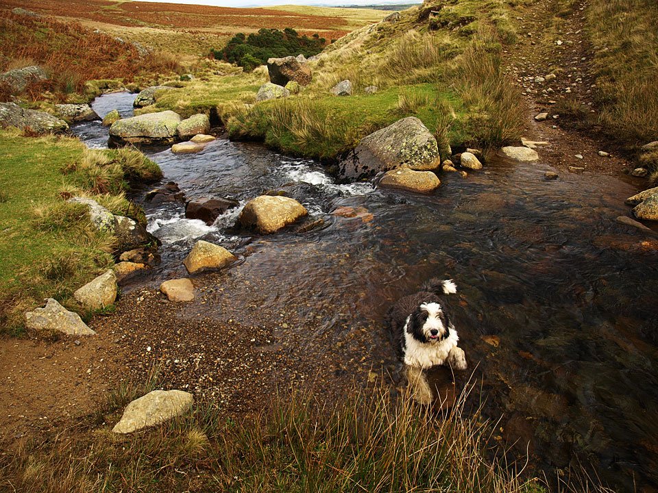
Striding Edge

A photo diary of Lake District fell walks

  • Walks
  • Fells
    • Wainwrights
      • Eastern Fells
      • Far Eastern Fells
      • Central Fells
      • Southern Fells
      • Northern Fells
      • North Western Fells
      • Western Fells
      • Outlying Fells
    • Birketts
  • Dogs
  • Love The Lakes
  • Contact

High Pike

Walked on 21/11/2008

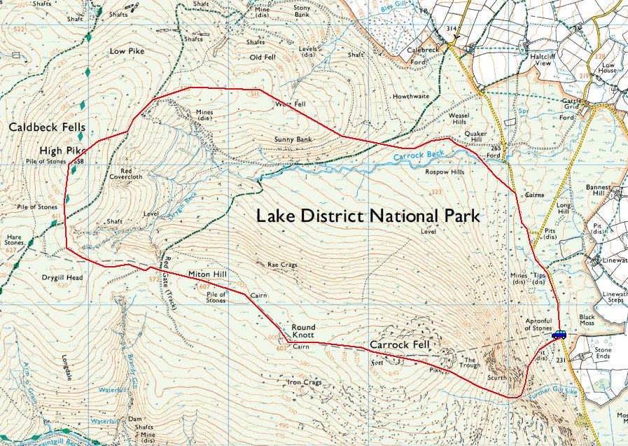
Start point: Stone Ends (NY 354 338)

Stone Ends – Rake Trod – Carrock Fell – Round Knott – Miton Hill – High Pike – West Fell – Carrock Beck – Stone Ends

Distance: 6 miles     Total Ascent: 530 metres     Time Taken: 2 hours 30 minutes

Weather: Frequent snow showers and an icy cold wind. 5oC.

It started off bright enough this morning but once on Rake Trod, the wind really picked up and almost immediately it started snowing. The arctic conditions were predicted this weekend but it came as a shock to the system nevertheless. I normally run warm when I am out but I was chilled to the bone today, so I wonder what the wind chill factor was?
High Pike.jpg

21.11.08-010.jpg

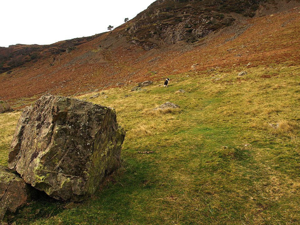
The start of the walk near Stone Ends passing Carrock End Mine.

21.11.08-016.jpg

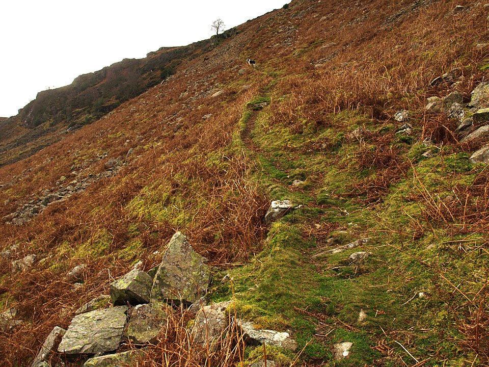
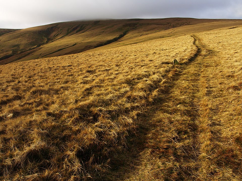
Climbing Rake Trod.

21.11.08-027.jpg

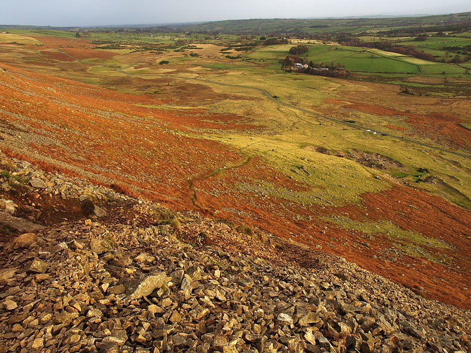
Looking back down Rake Trod, Carrock End mine is to the right near the cars.

21.11.08-044.jpg

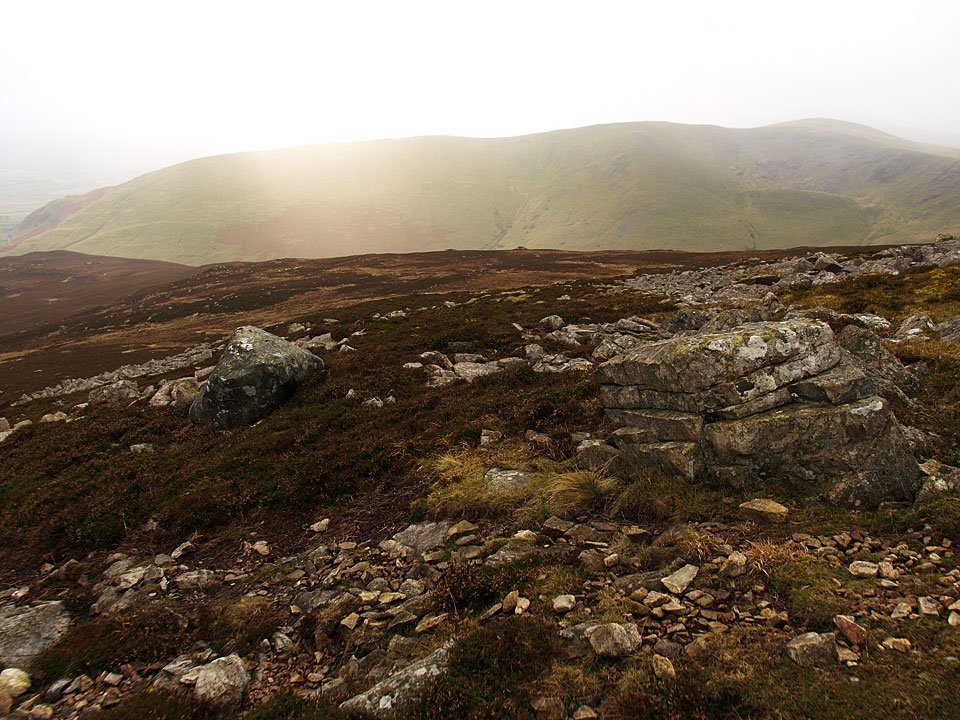
Up onto the summit ridge and the snow showers were coming in thick and fast now, here looking to Bowscale Fell.
21.11.08-051.jpg

Heading for the summit of Carrock Fell.

21.11.08-056.jpg

High Pike from Carrock Fell.

21.11.08-072.jpg

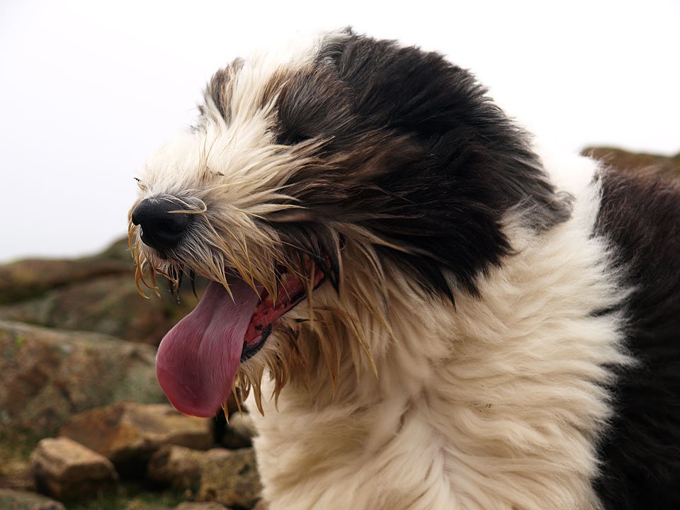
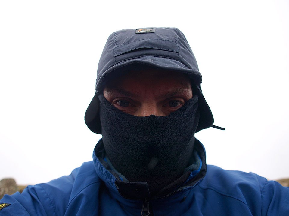
Casper models the windswept look. That wind was absolutely arctic, pity there isn't 'freeze-o-vision' to let you feel it...
21.11.08-078.jpg

.the Fell Assassin on Carrock Fell! That's a windstopper fleece below a soft shell with a polartec buff under a LA mountain hat - nice photo Casper!
21.11.08-079.jpg

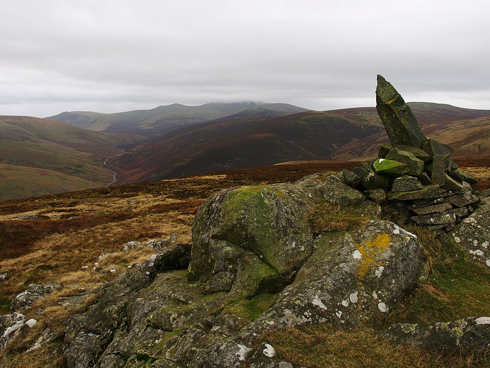
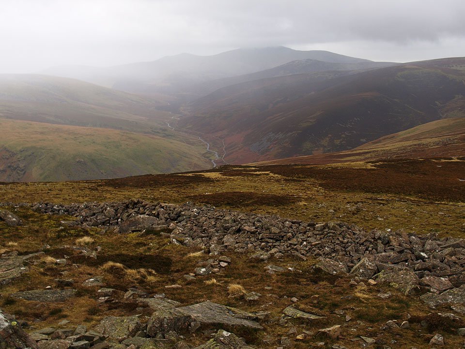
Looking into the Caldew Valley from Carrock Fell, Little Man, Skiddaw and Great Calva at the head. The wall in the foreground is part of the ruins of the ancient British hill fort that once topped this fell.

21.11.08-082.jpg

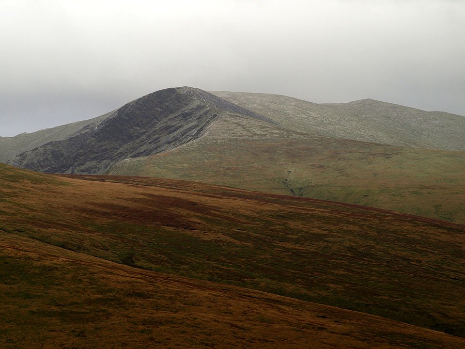
Knott to the left, High Pike to the right.

21.11.08-090.jpg

Bowscale Fell and Blencathra.

21.11.08-097.jpg

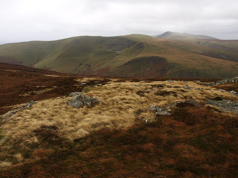
Bowscale Tarn below Bowscale Fell, Blencathra beyond with a fresh dusting of snow from Round Knott.

21.11.08-098.jpg

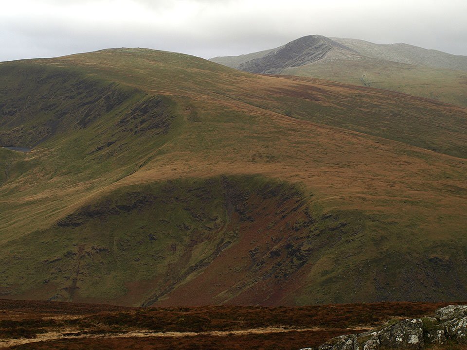
Sharp Edge is visible on the left in the close up.

21.11.08-100.jpg

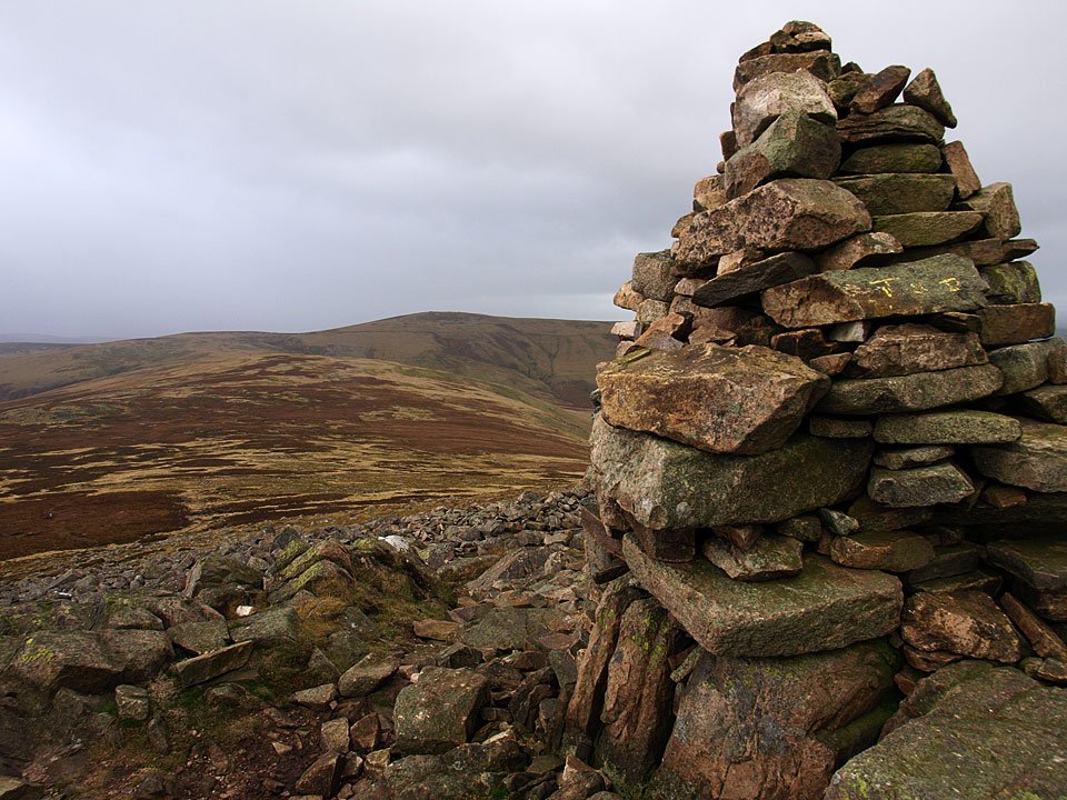
The view from Round Knott.

21.11.08-105.jpg

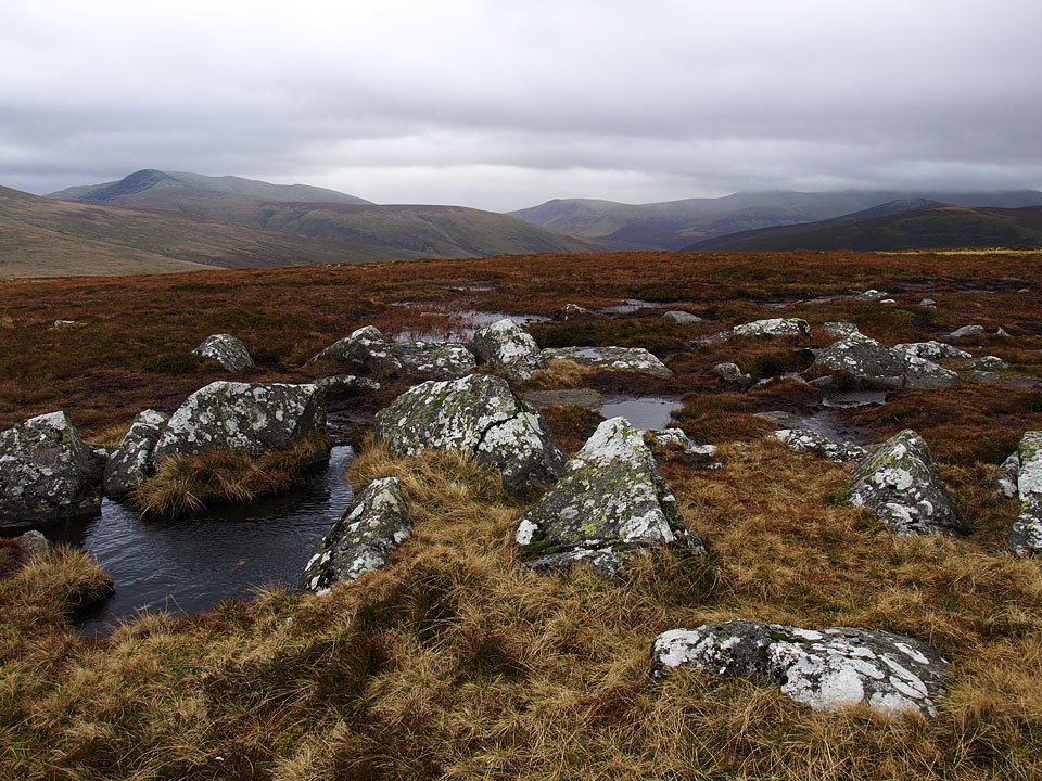
The panorama to the west from the path to High Pike.

21.11.08-112.jpg

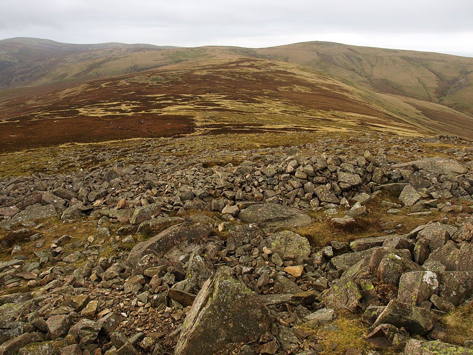
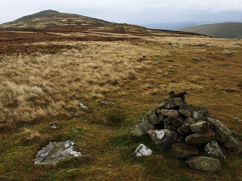
Looking back to Carrock Fell from Miton Hill, the cairn on Round Knott to the right.

21.11.08-121.jpg

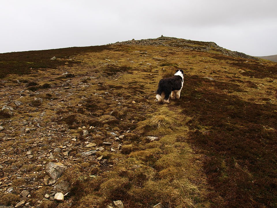
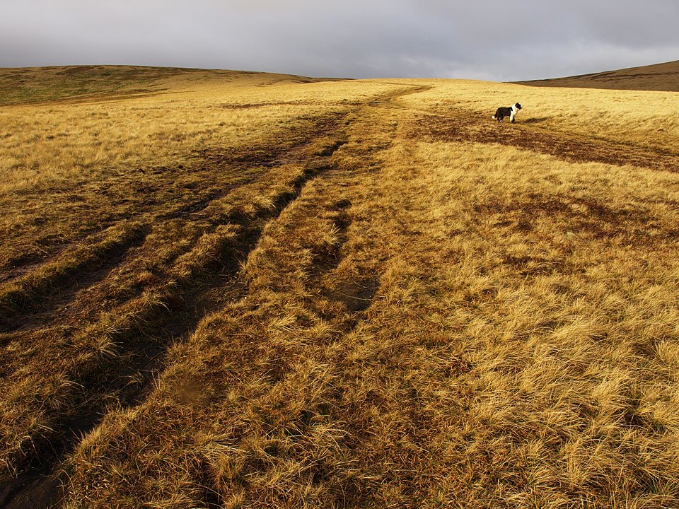
Golden sunshine on the way to High Pike.

21.11.08-133.jpg

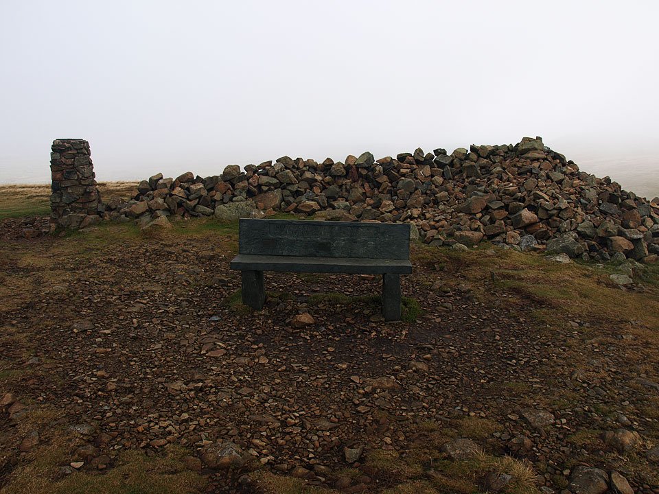
The summit of High Pike.

21.11.08-138.jpg

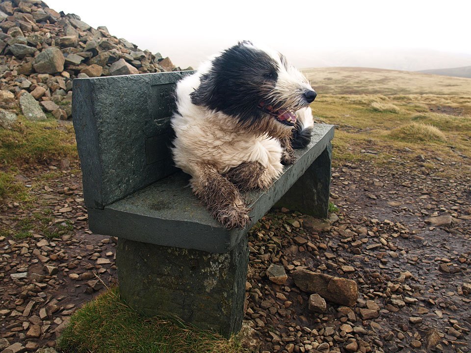
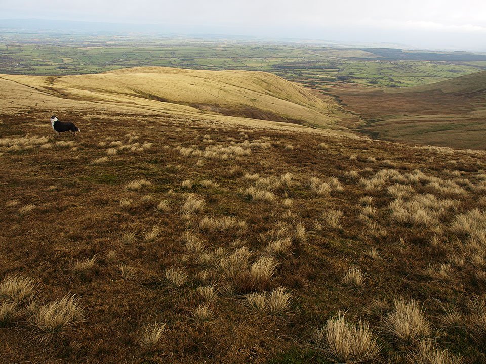
Casper makes himself comfortable.

21.11.08-146.jpg

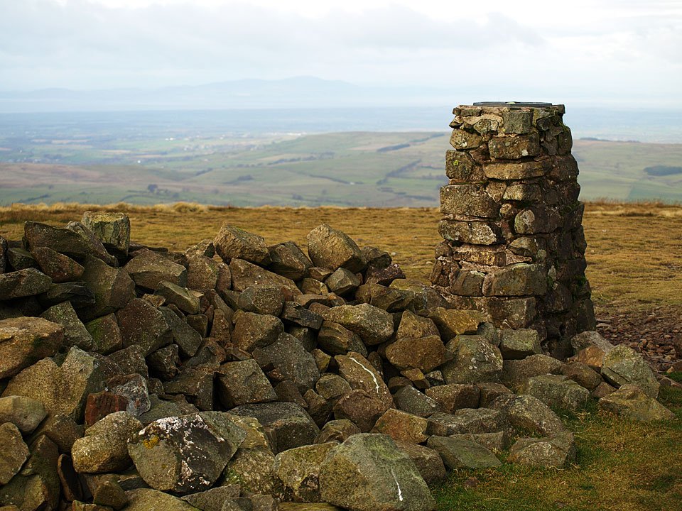
It is a bit clearer to the north with a view across the Solway Firth to Criffel.

21.11.08-160.jpg

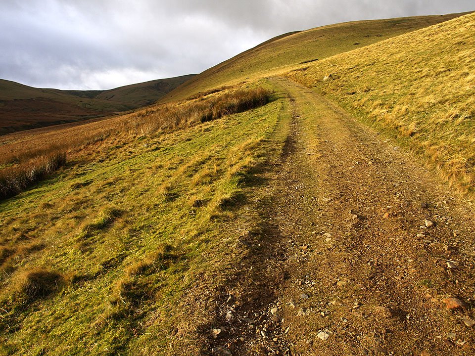
The route of descent is down West Fell.

21.11.08-172.jpg

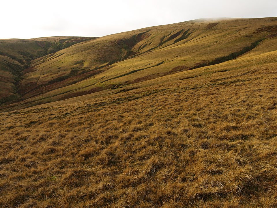
The eastern face of High Pike - Dry Gill to the left, Red Covercloth centre and Driggeth Beck to the right. There is evidence of lots of mining activity around here.

21.11.08-174.jpg

High Pike from West Fell.

21.11.08-180.jpg

Sunny Bank.

21.11.08-187.jpg

Crossing Carrock Beck.

21.11.08-188.jpg

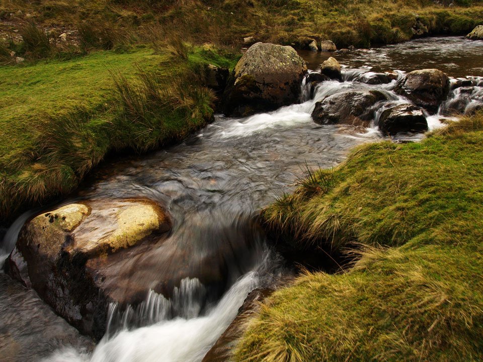
Carrock Beck. What better way to finish off a walk to High Pike...

21.11.08-199.jpg

Hesket Newmarket lies to the north west of High Pike and Hesket Newmarket Brewery is owned by a co-operative of villagers including Sir Chris Bonington. It is available at a fantastic shop in Bowness!

Share this…


  • Facebook


  • Twitter


  • Messenger


  • Whatsapp


  • Email

Previous walk Next walk

Walking Diary

  • The Mosedale Horseshoe 01/03/2022
  • Caw 18/01/2022
  • Coniston sunset 17/01/2022
  • Blencathra 15/01/2022
  • Scafell Pike 14/01/2022

Social

  • Facebook
  • Twitter

Information

  • Striding Edge
  • T&C’s
  • Privacy
  • Links