Striding Edge

A photo diary of Lake District fell walks

  • Walks
  • Fells
    • Wainwrights
      • Eastern Fells
      • Far Eastern Fells
      • Central Fells
      • Southern Fells
      • Northern Fells
      • North Western Fells
      • Western Fells
      • Outlying Fells
    • Birketts
  • Dogs
  • Love The Lakes
  • Contact

Sallows

Walked on 01/02/2005

Start point: Troutbeck (NY 413 028)

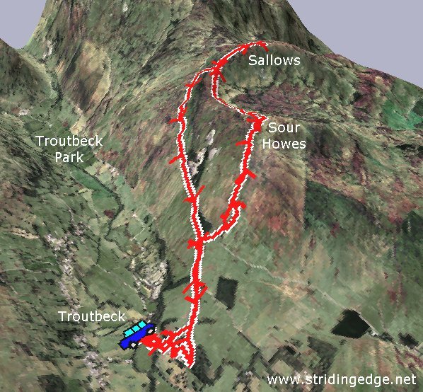
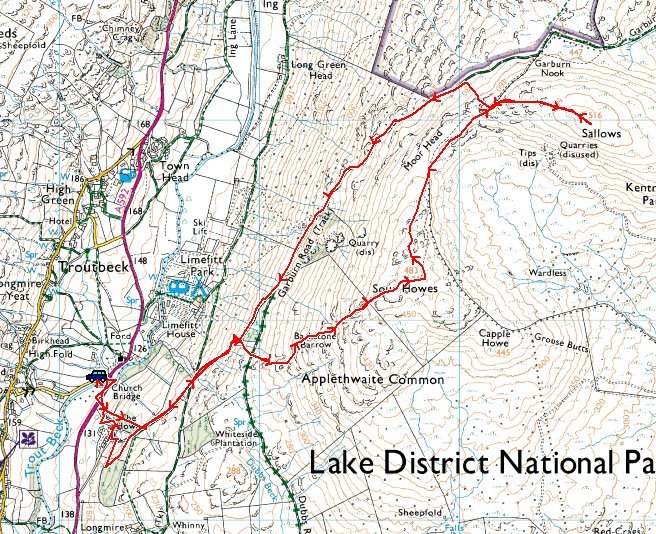
Troutbeck – Garburn Road – Backstone Barrow – Sour Howes (283) – Sallows (284) – Garburn Road – Troutbeck

Weather: Clearing throughout the walk, ending with sunshine and blue skies!

Today’s walk is a short round from Troutbeck to two tops on Applethwaite Common, namely Sour Howes and Sallows. The weather started clearing almost as soon as I set off after initially being rather overcast…hooray! There are superb views along almost the whole length of Windermere and along Troutbeck Park throughout the walk.
Sallows

Elevation

Elevation profile of the route.

Sallows 3D

3D image of the walk route.

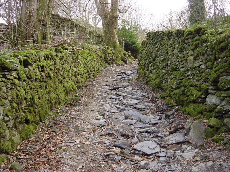
Dsc04077

The Garburn Road at the start of the walk.

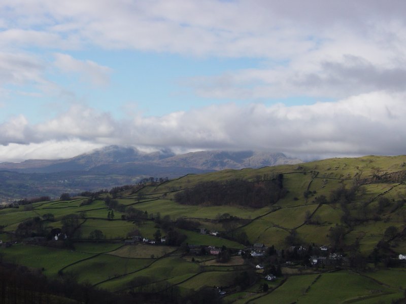
Dsc04086

The clouds start to lift from Coniston Old Man and Wetherlam.

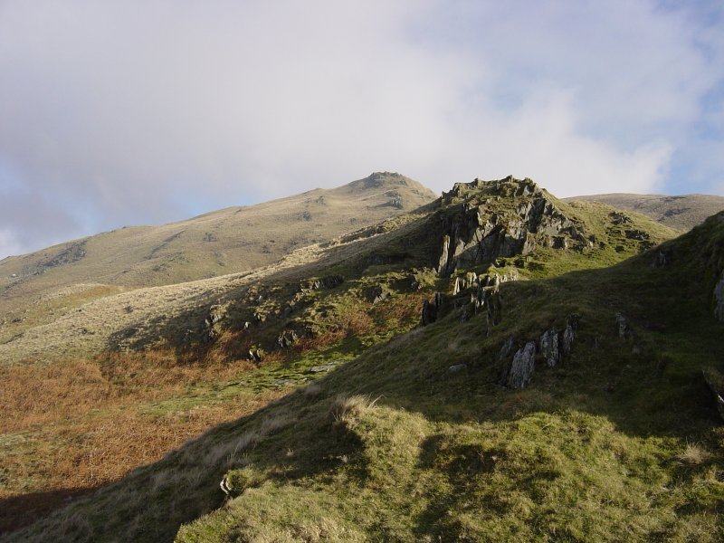
Dsc04092

The ascent to Sour Howes.

Dsc04104

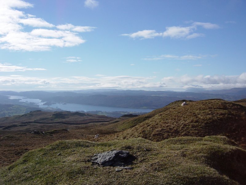
Windermere from the summit of Sour Howes.

Dsc04111

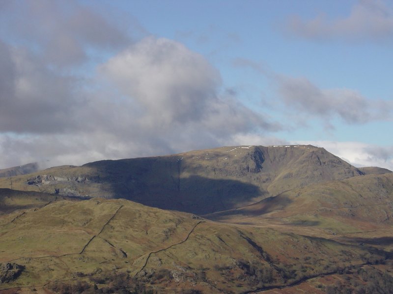
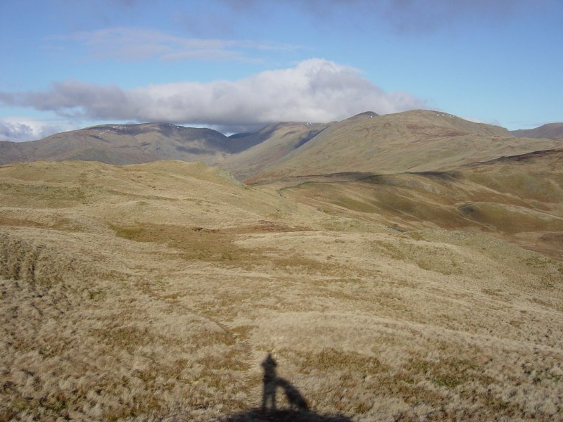
Caudale Moor and the Kentmere Pikes from Sour Howes. The wall running from the centre up to the right leads to Sallows.

Dsc04112

Red Screes from Sour Howes.

Dsc04123

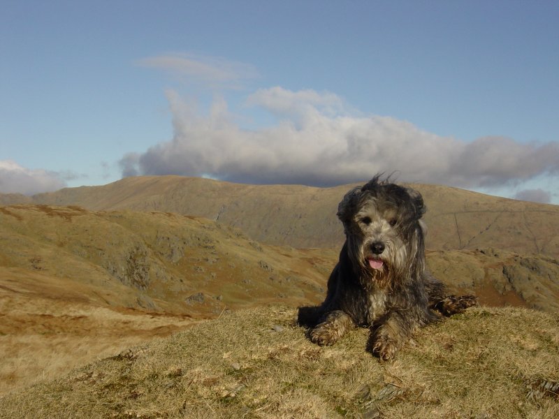
Soaking up the sunshine on Sallows summit mound, Kentmere Pike behind.

Dsc04126

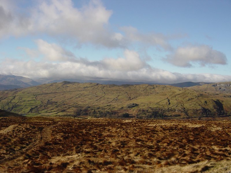
Wansfell Pike and Wansfell from Sallows.

Dsc04138

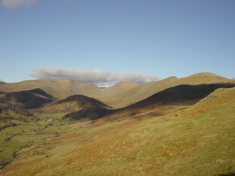
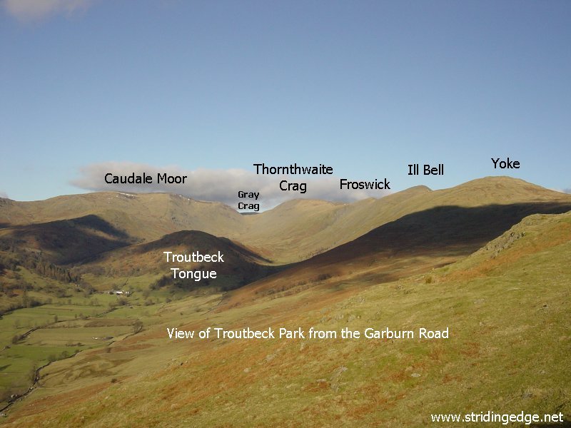
Looking along Troutbeck Park from the Garburn Road. See below for an annotated version of this photo.

Dsc04138 annotated


Share this…


  • Facebook


  • Twitter


  • Messenger


  • Whatsapp


  • Email

Previous walk Next walk

Walking Diary

  • The Mosedale Horseshoe 01/03/2022
  • Caw 18/01/2022
  • Coniston sunset 17/01/2022
  • Blencathra 15/01/2022
  • Scafell Pike 14/01/2022

Social

  • Facebook
  • Twitter

Information

  • Striding Edge
  • T&C’s
  • Privacy
  • Links