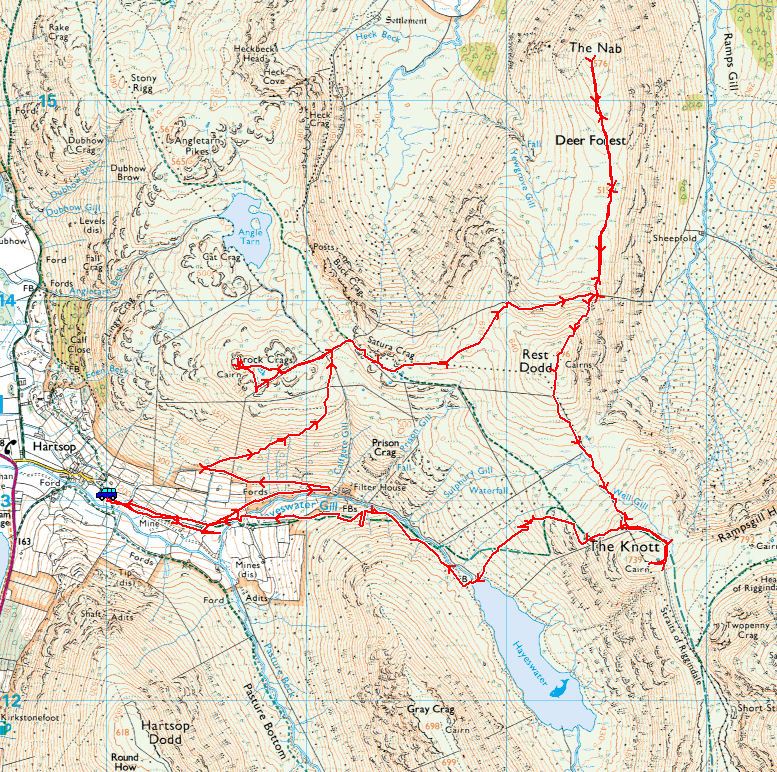
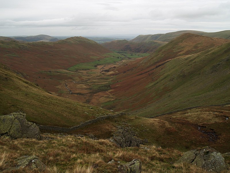
Start point: Hartsop (NY 410 130)
Hartsop – Brock Crags – Satura Crag – The Nab – Rest Dodd – The Knott – Hayeswater – Hartsop
Distance: 8.9 miles Total Ascent: 1178 metres Time Taken: 3 hours 35 minutes
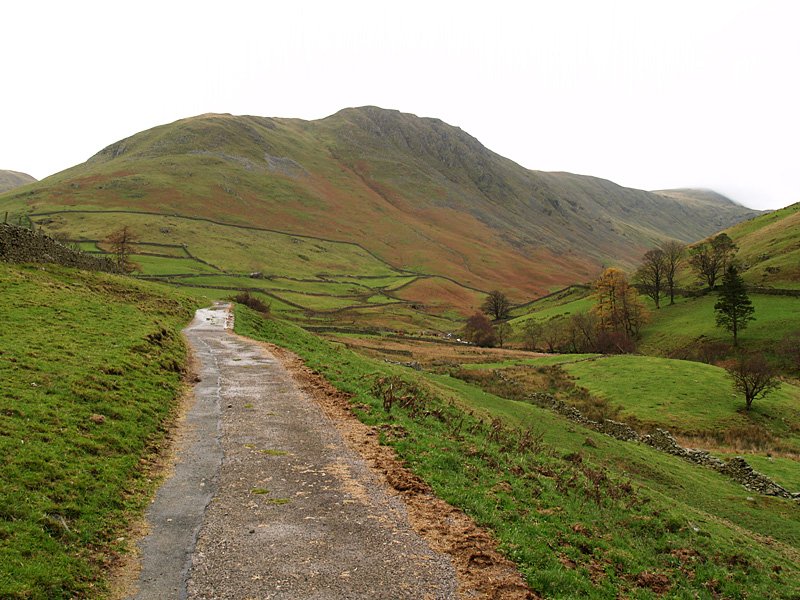
Weather: Overcast, turning to rain. 6oC.
I thought we might be up in the snow today, but that has all gone apart from a smattering on the highest fells; today it was cold but the precipitation was rain. The day started off promising enough but soon ended up being a bit miserable. We managed to catch sight of a distant herd of Red Deer in Martindale Deer Forest which was a nice sight, but I don’t think Angus and Casper were too bothered.
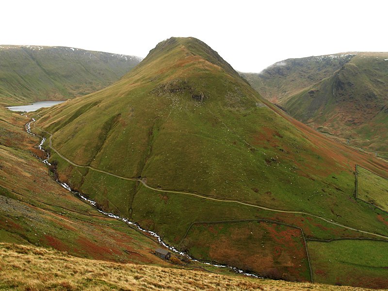
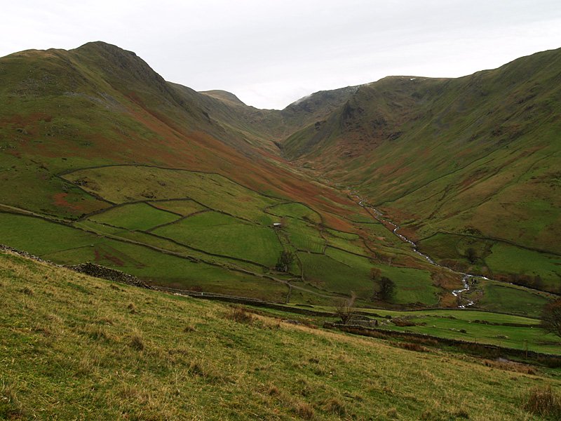
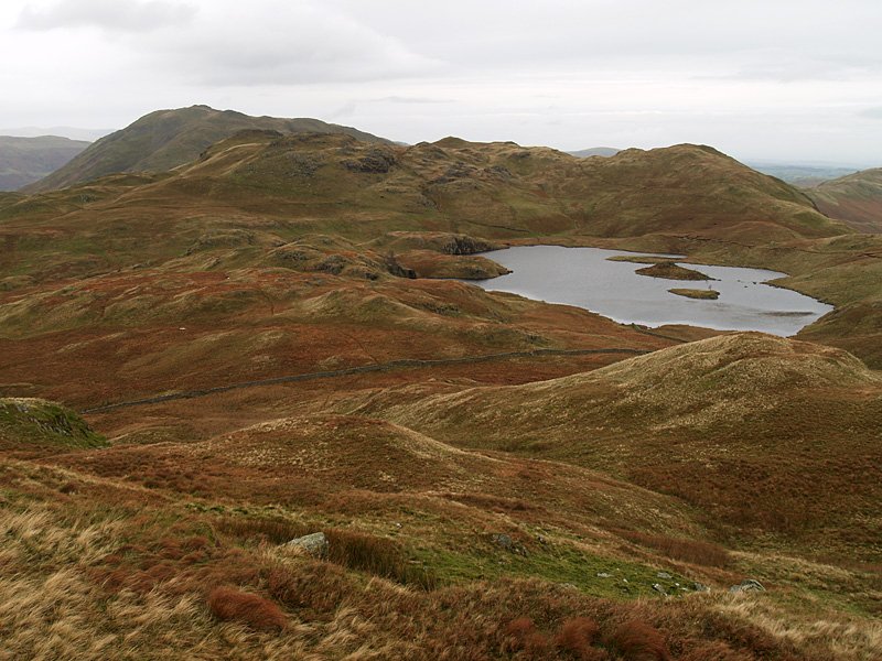
Gray Crag with Hayeswater now in view. Above Hayeswater is High Street. At the bottom of the photo is the filter house which marks the start of the zigzags to Brock Crags.
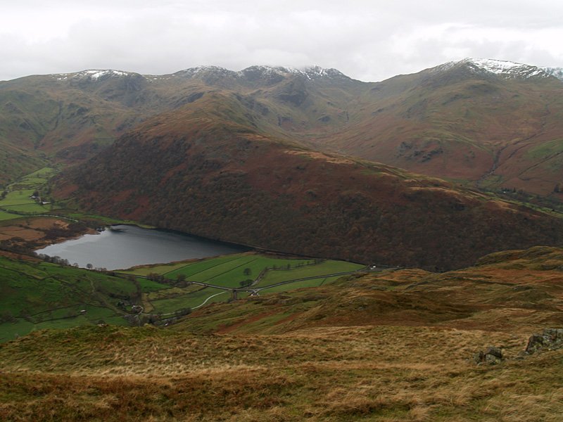
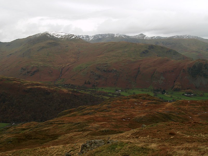
Brothers Water and the Hartsop above How ridge from Brock Crags. Behind with a sprinkling of snow is Dove Crag, Hart Crag and Fairfield.
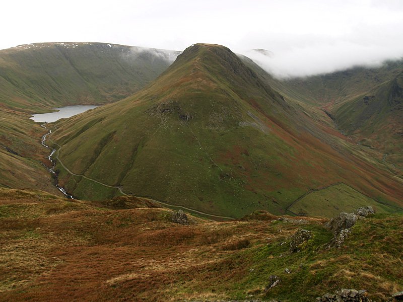
Gray Crag again - this time the cloud was pouring over Threshwaite Mouth; this spelled the beginning of the end for the fine weather.
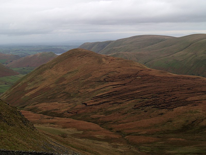
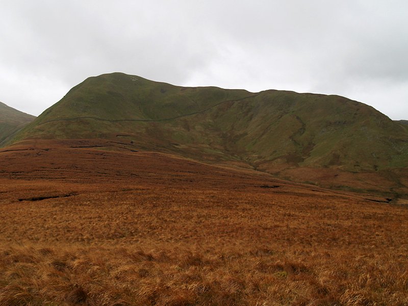
The Nab, the many loathsome peat hags evident. Beyond is Loadpot Hill with the merest glimpse of Ullswater.
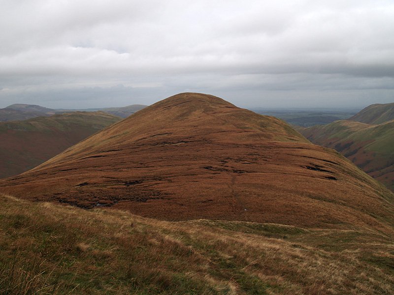
Heading for the summit of The Nab. This is the preferred route walkers are now asked to follow - out and back along the ridge.
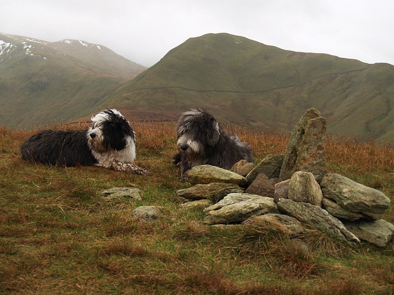
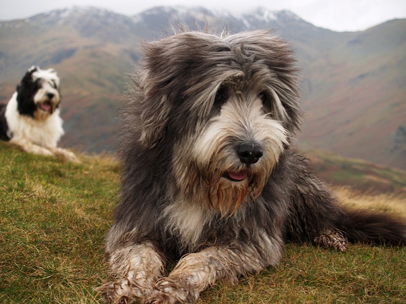
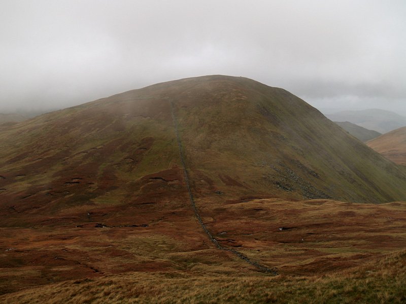
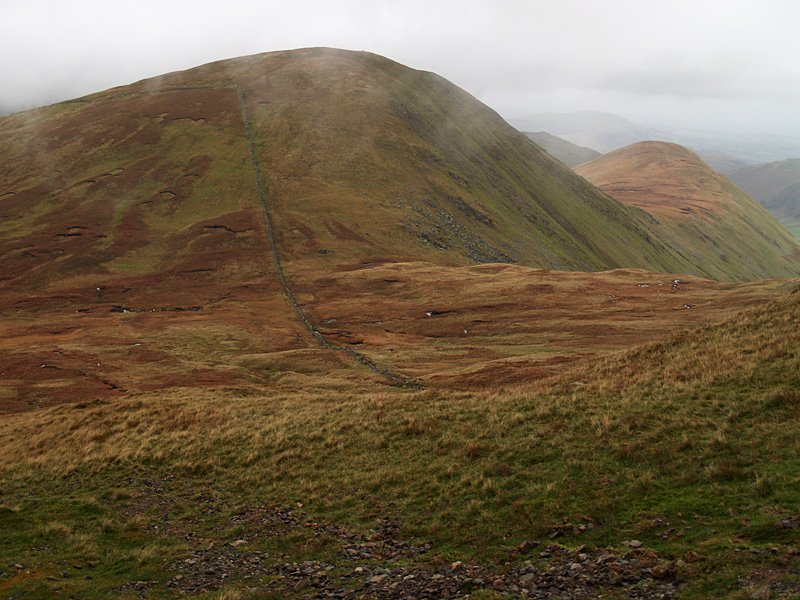
Having a rest on The Nab - where are all the deer? The greying skies over Rest Dodd show the weather worsening and it was now raining. The steep climb up to Rest Dodd and then over to The Knott was done in rain and mist - so no photos of that section! When we reached the wall that can be seen above Casper's head, we caught a glimpse of the Red Deer herd down below in Ramps Gill.

